Elevation of Susitna North, AK, USA
Location: United States > Alaska > Matanuska-susitna >
Longitude: -149.83109
Latitude: 62.152592
Elevation: 390m / 1280feet
Barometric Pressure: 97KPa
Elevation Map:
Satellite Map:
Related Photos:

It was time for a little camera fun now...
IMG_3507-Edit.jpg
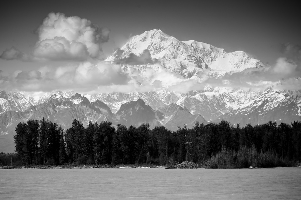
Mt McKinley seen from milepost 135 on George Parks Hwy in Alaska-02 Kc 80-200mm 8-83
fish061411 006
DUCK RACE
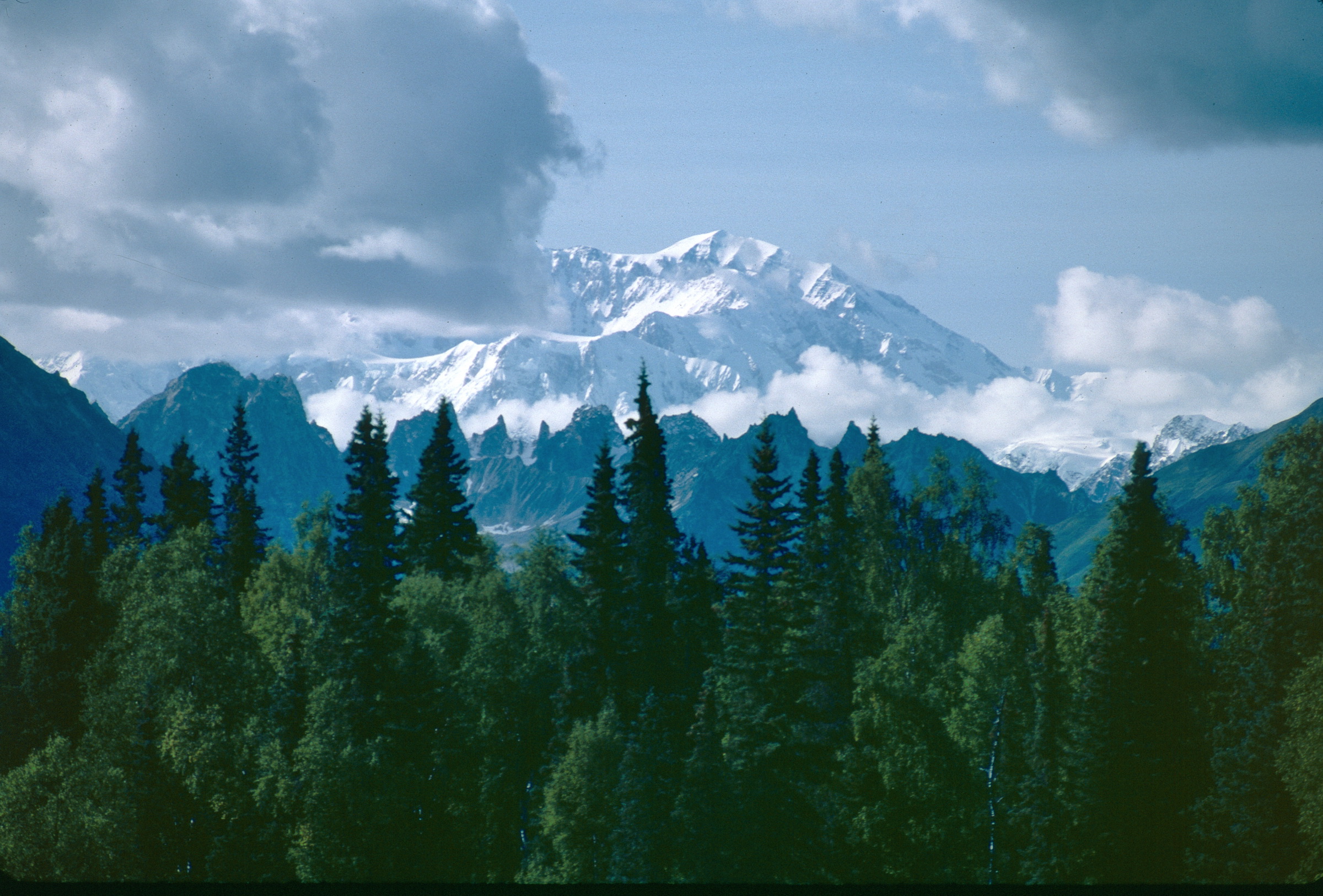
Alaska 035a
fish061411 007
IMG_1243.jpg
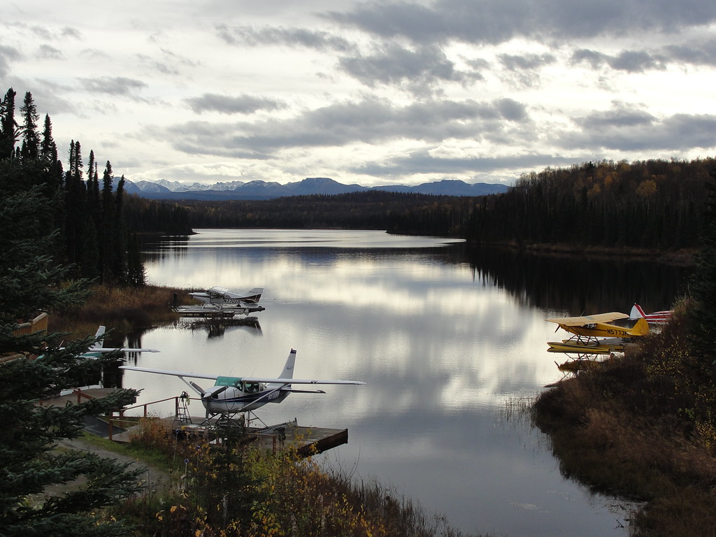
Airplane Floatport
IMG_1244.jpg
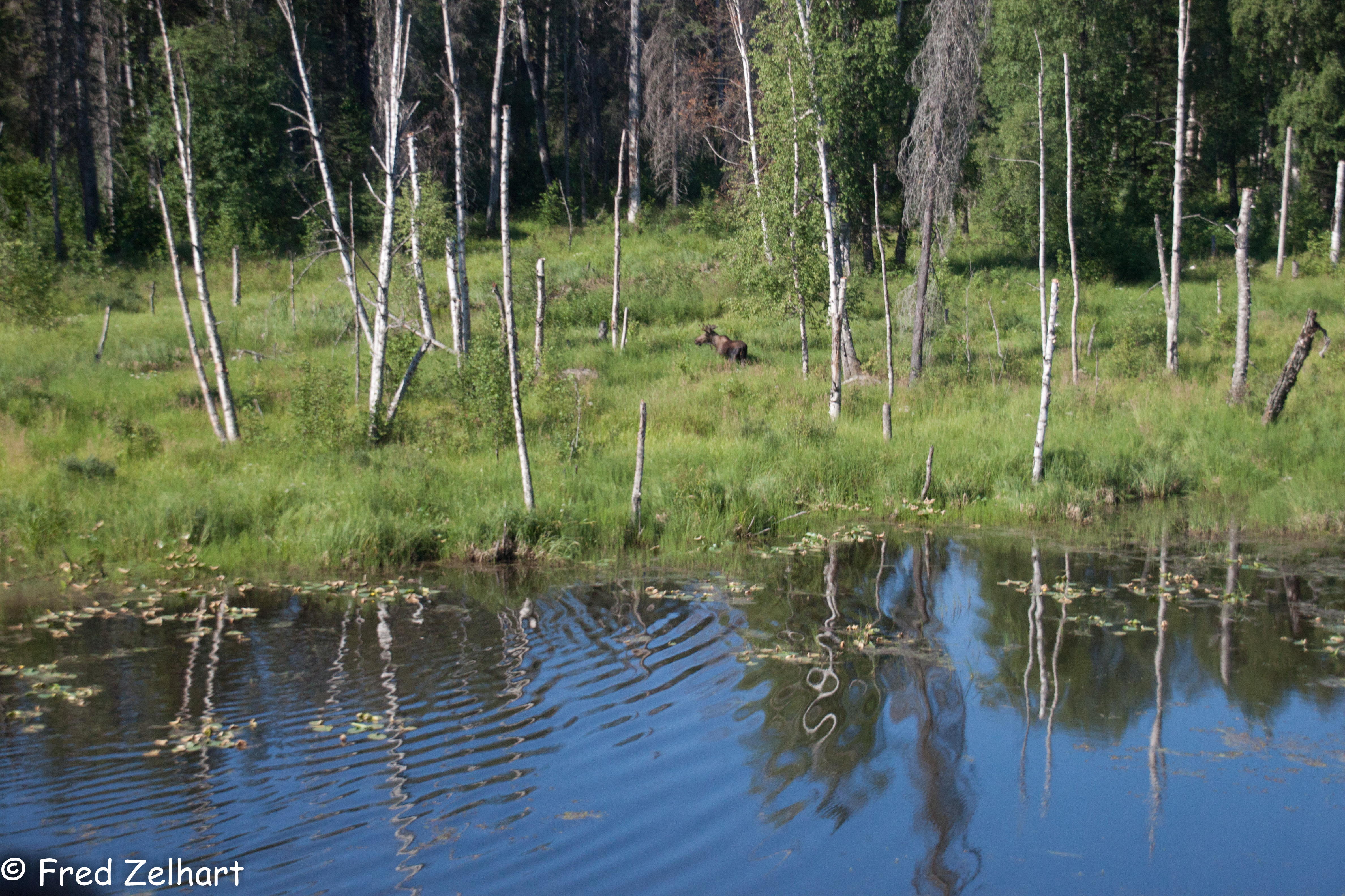
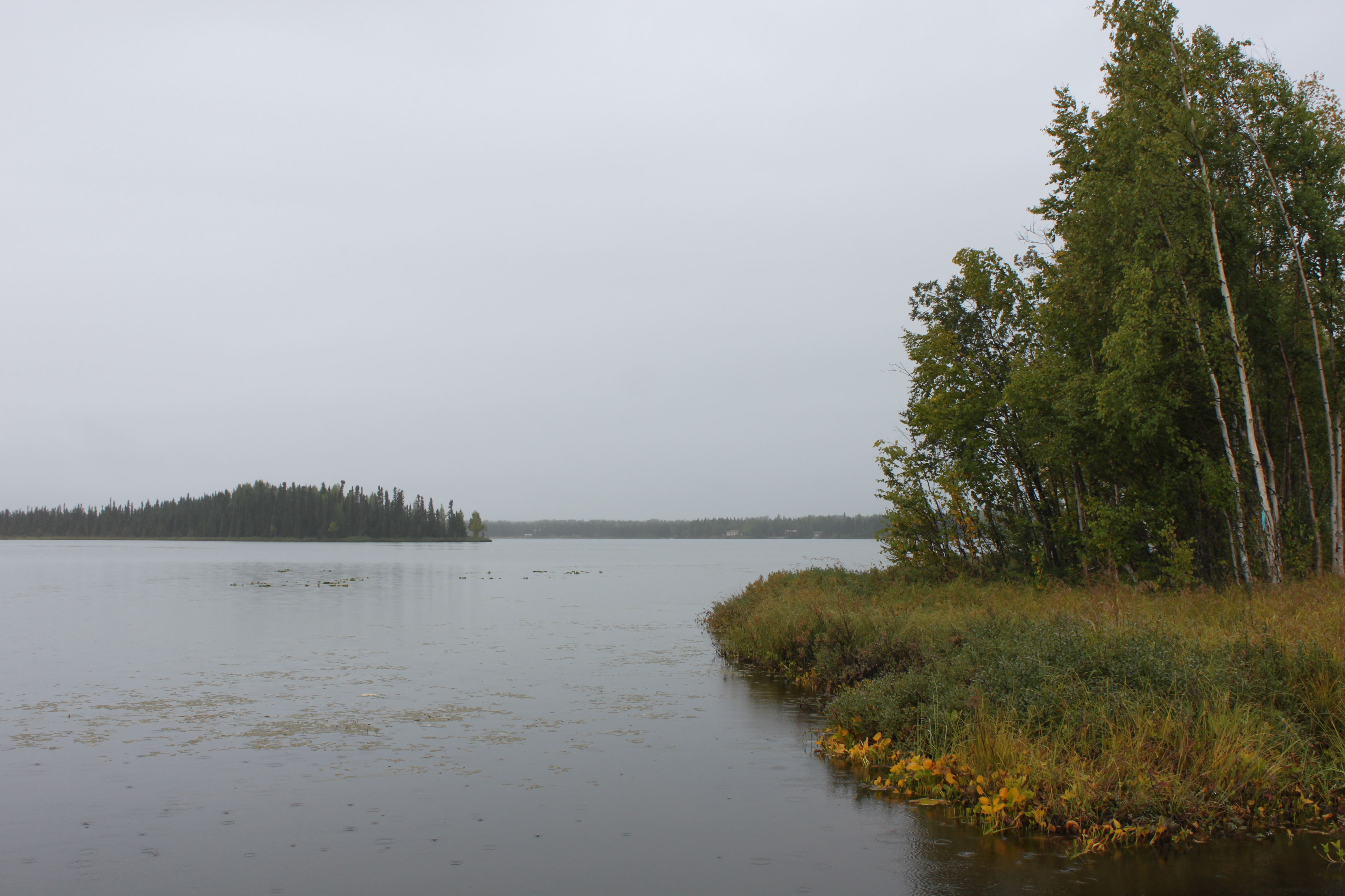
Glacial meltwater
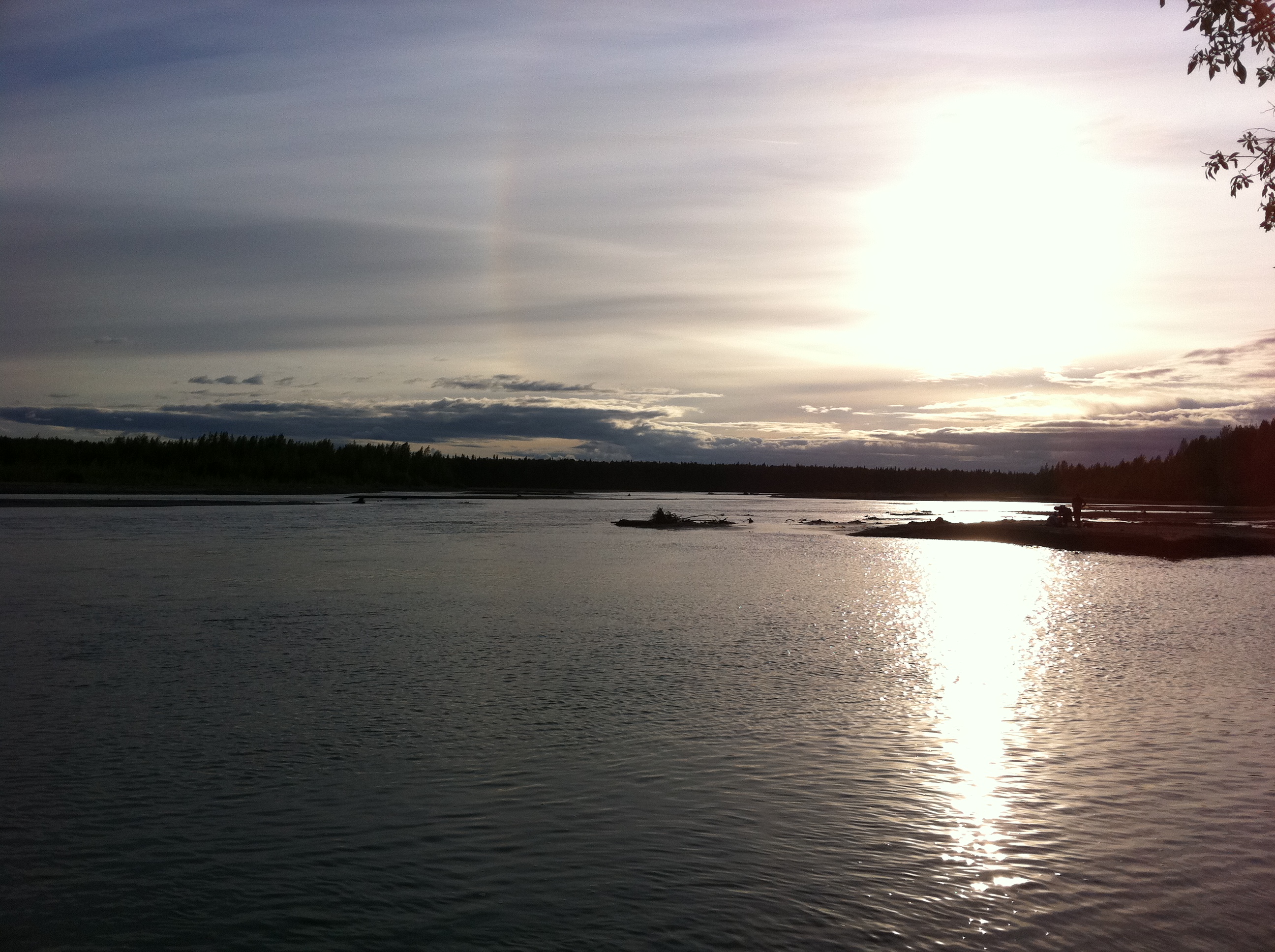
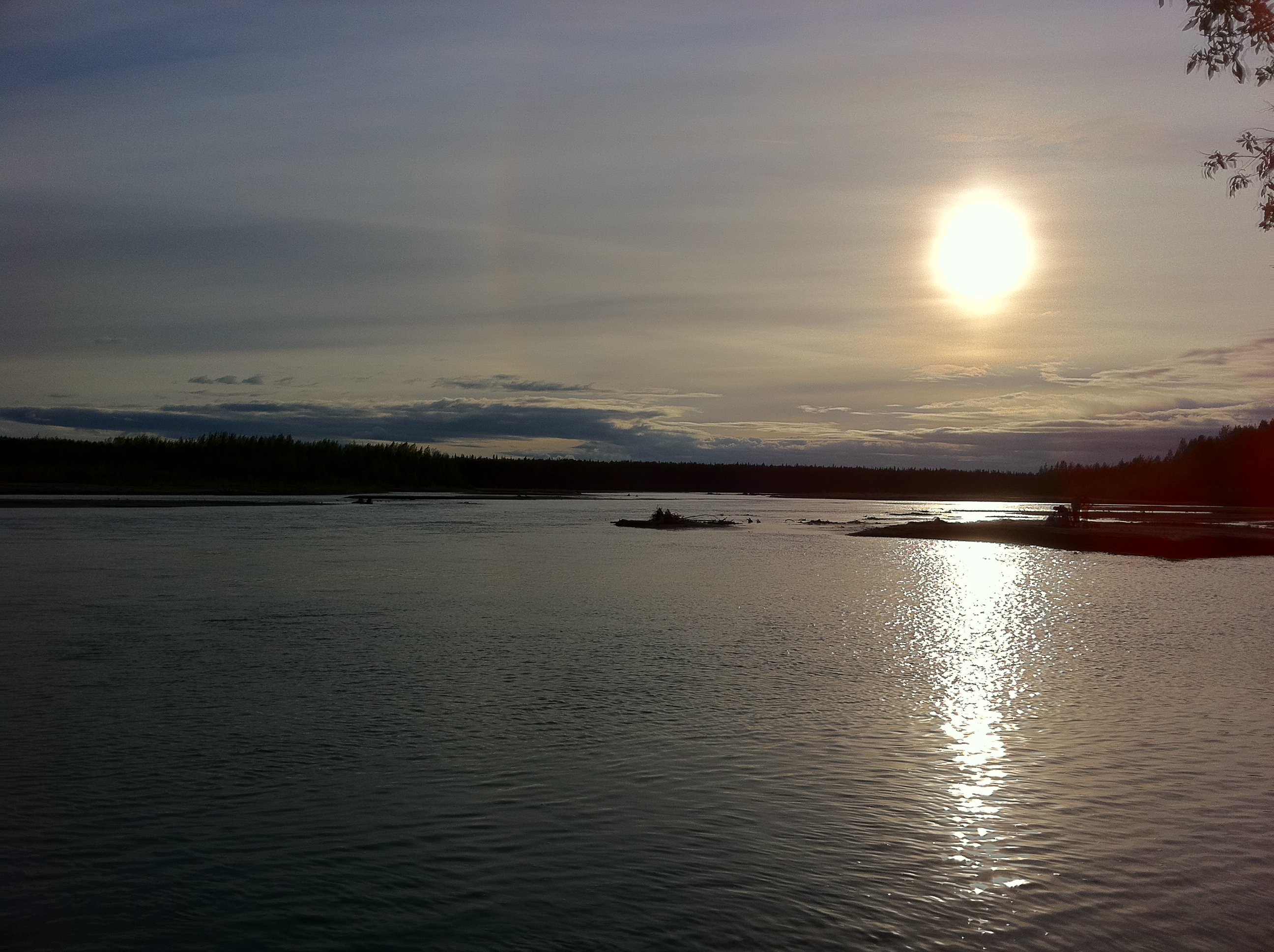
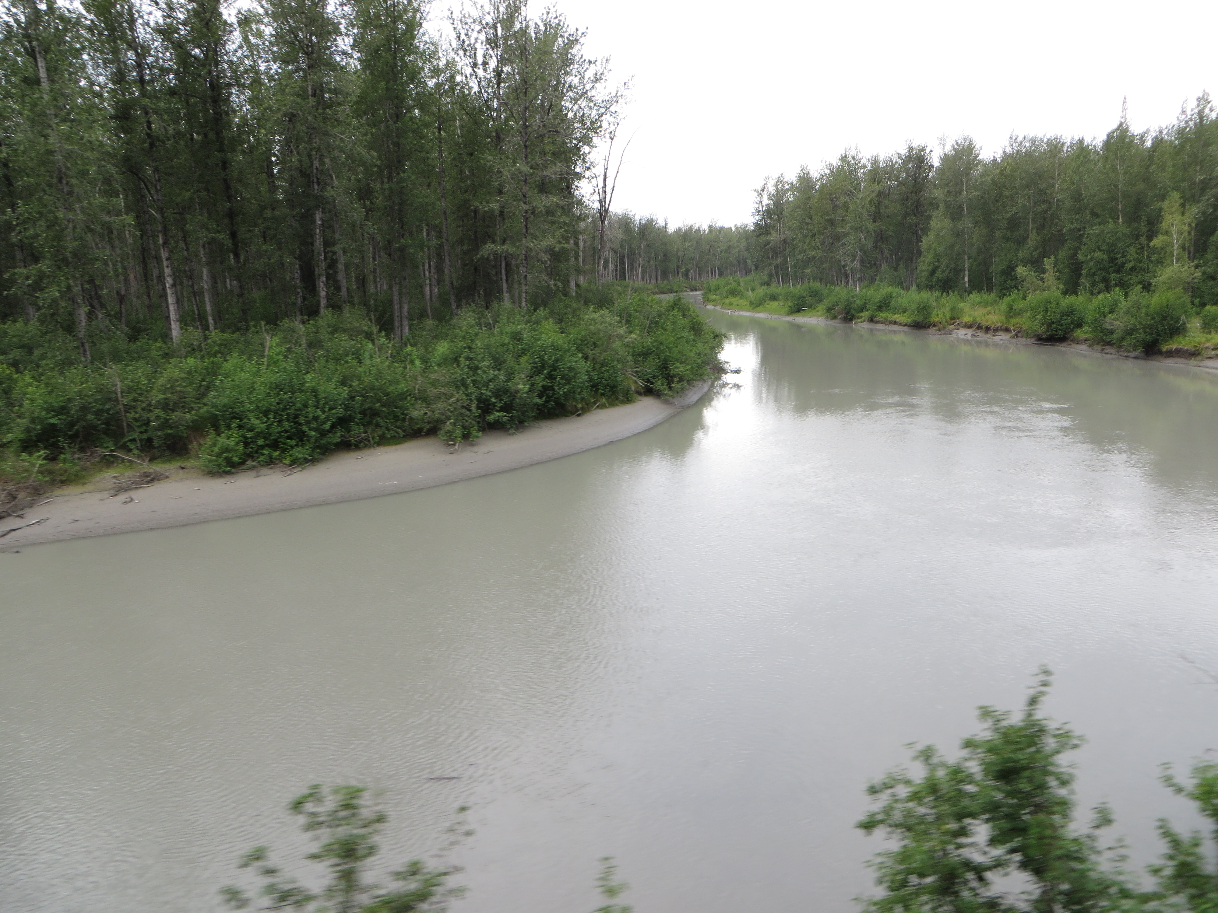
Susitna River
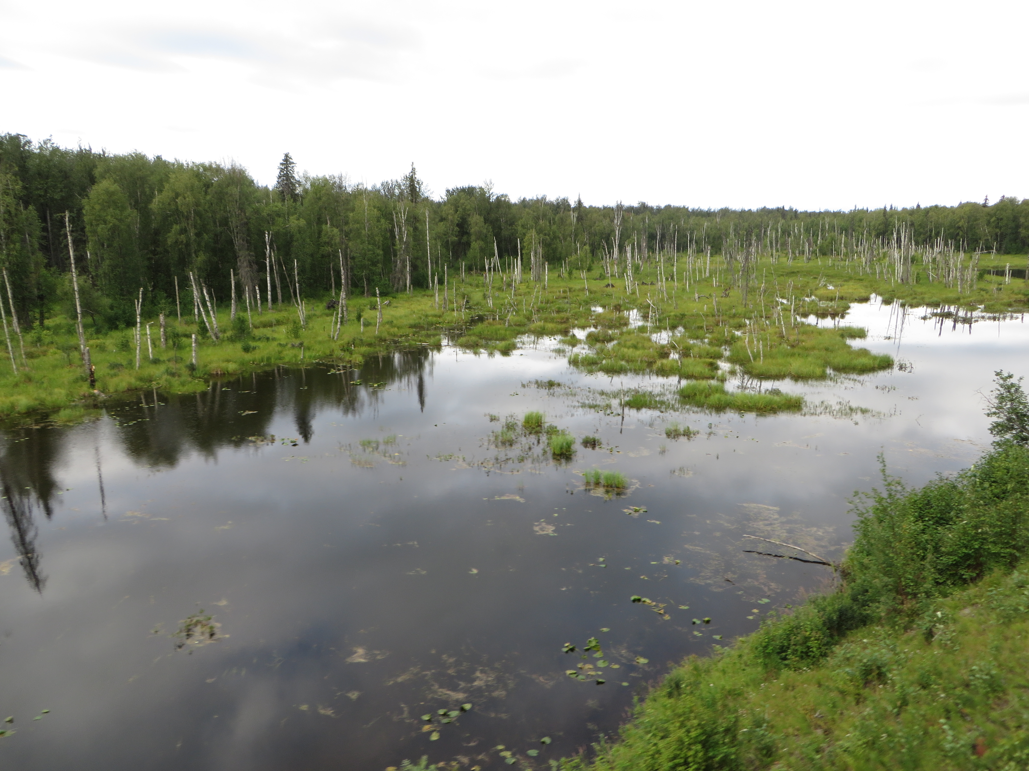
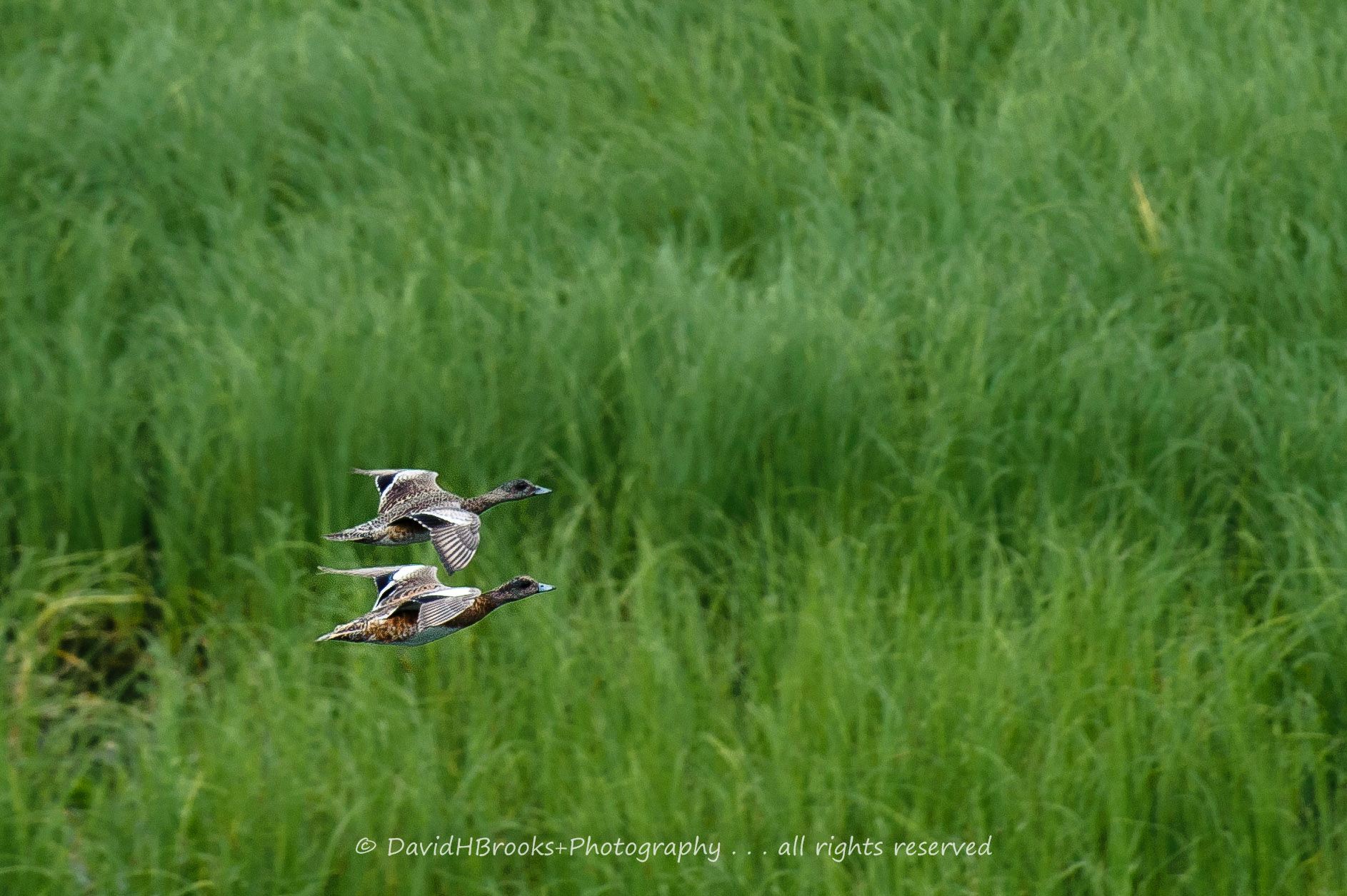
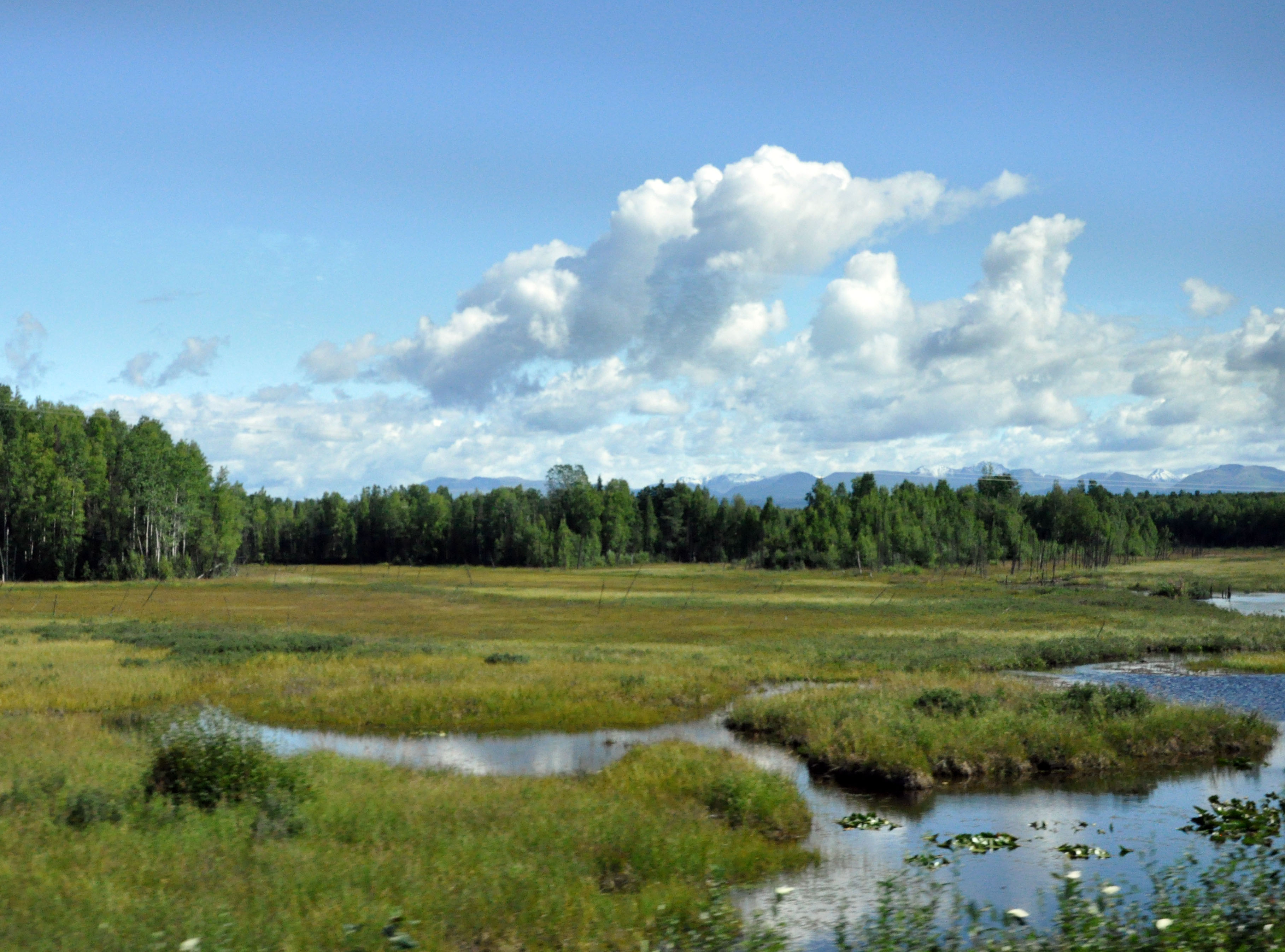
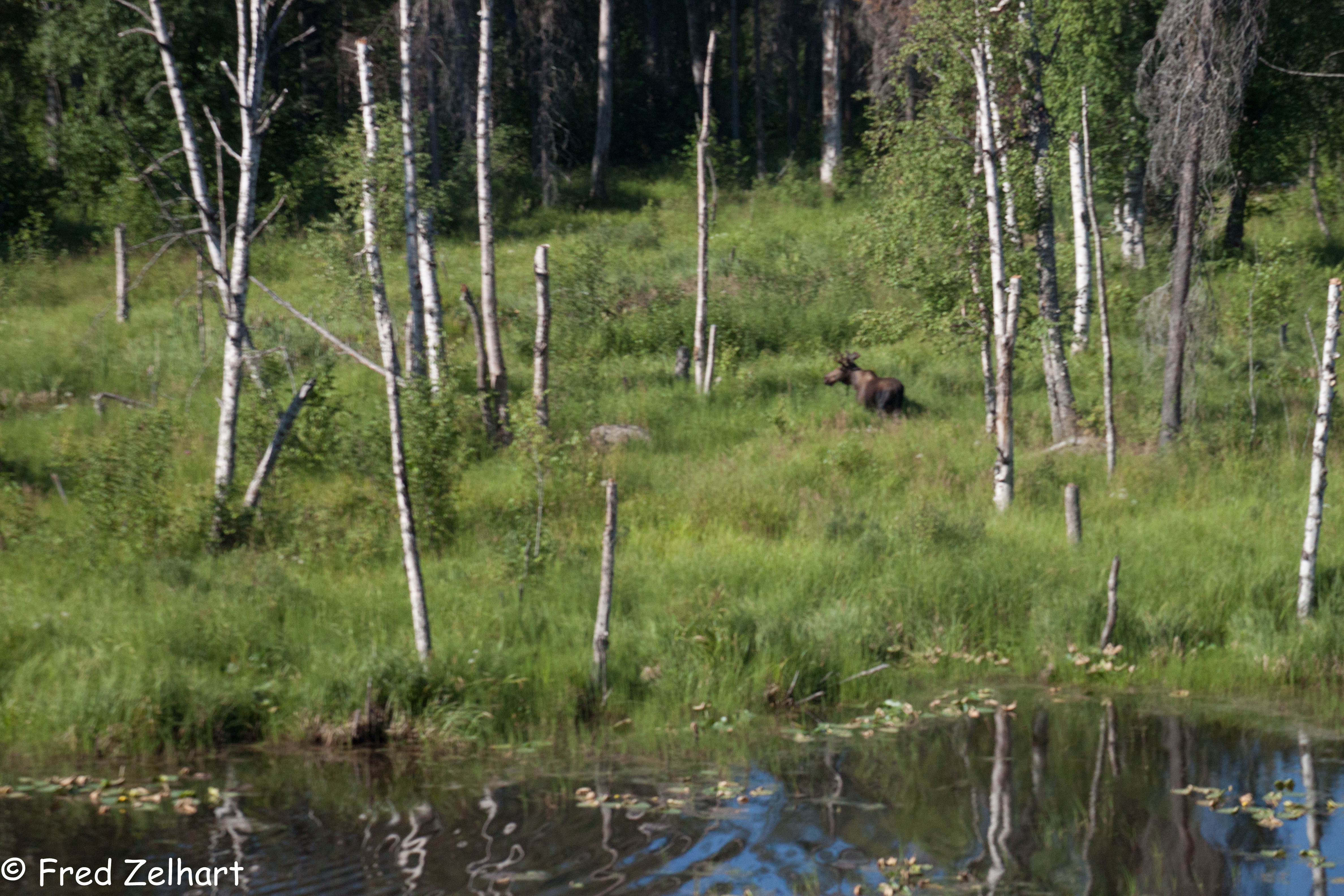
Alaska wilderness
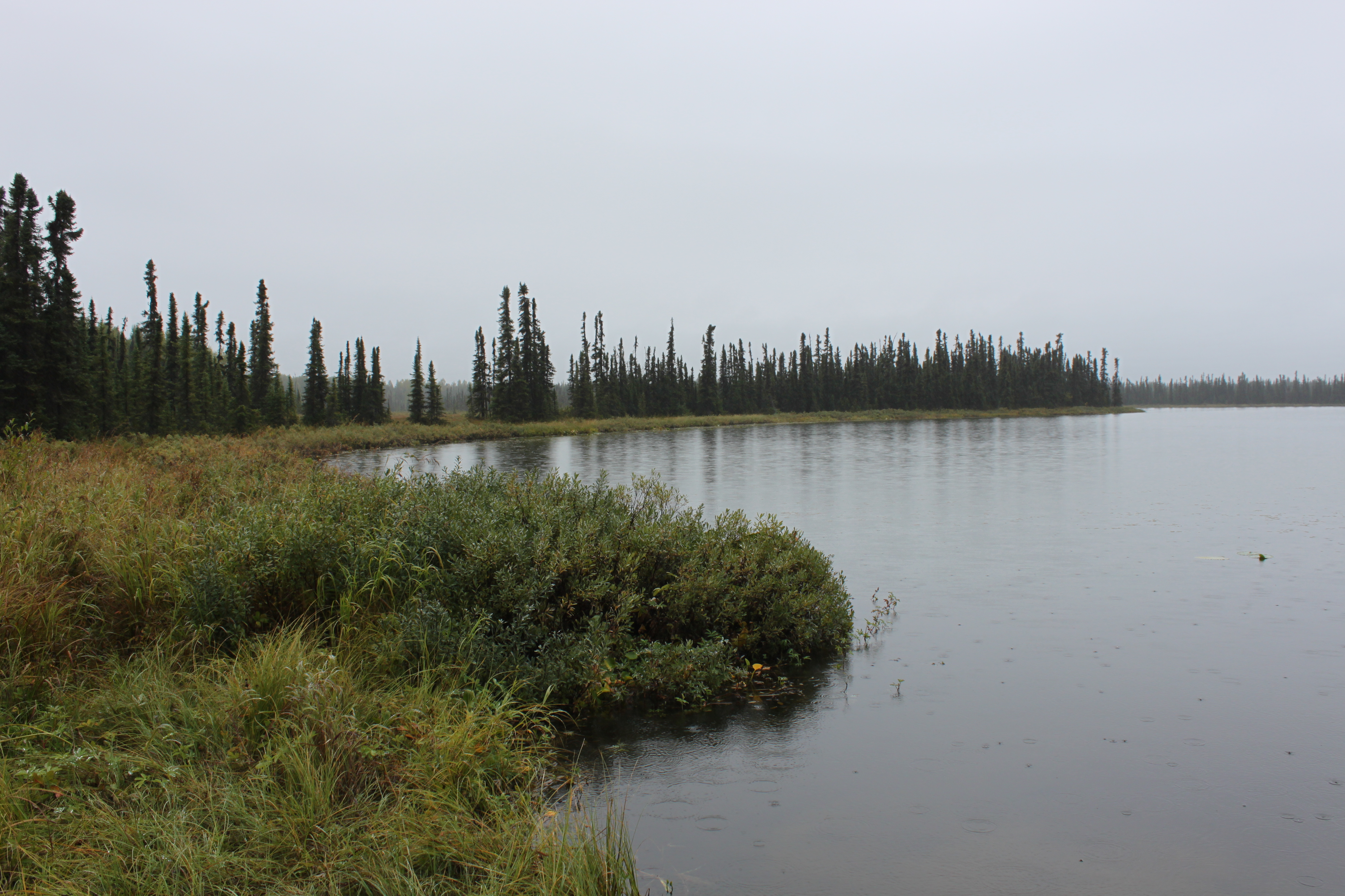
Susitna River
Topographic Map of Susitna North, AK, USA
Find elevation by address:

Places in Susitna North, AK, USA:
Places near Susitna North, AK, USA:
22047 E Rampart Loop
South Nimrod Street
St John Dr, Talkeetna, AK, USA
Talkeetna
Talkeetna Roadhouse
Matanuska-susitna
Wilderness Rim Road
S Watson Cir, Trapper Creek, AK, USA
Trapper Creek
Mt Mckinley Princess Wilderness Lodge
133 N Parks Hwy
N Parks Hwy, Talkeetna, AK, USA
Recent Searches:
- Elevation of Corso Fratelli Cairoli, 35, Macerata MC, Italy
- Elevation of Tallevast Rd, Sarasota, FL, USA
- Elevation of 4th St E, Sonoma, CA, USA
- Elevation of Black Hollow Rd, Pennsdale, PA, USA
- Elevation of Oakland Ave, Williamsport, PA, USA
- Elevation of Pedrógão Grande, Portugal
- Elevation of Klee Dr, Martinsburg, WV, USA
- Elevation of Via Roma, Pieranica CR, Italy
- Elevation of Tavkvetili Mountain, Georgia
- Elevation of Hartfords Bluff Cir, Mt Pleasant, SC, USA