Elevation map of Sur Lípez, Bolivia
Location: Bolivia > Potosi Department >
Longitude: -67.189448
Latitude: -22.26983
Elevation: 5679m / 18632feet
Barometric Pressure: 49KPa
Elevation Map:
Satellite Map:
Related Photos:
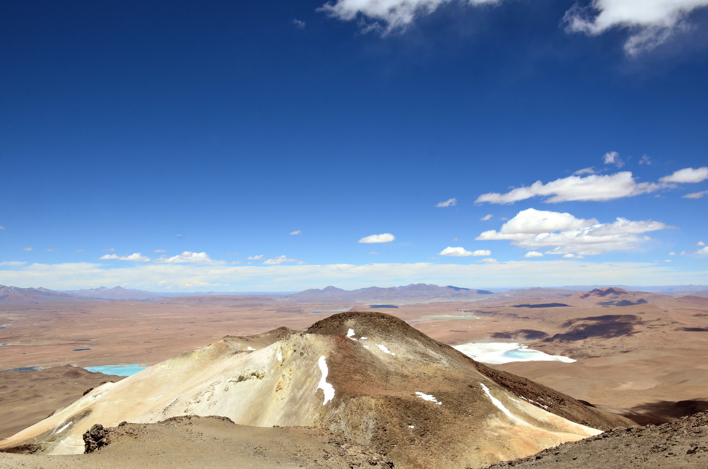
bolivia_2015-11-10_16_407
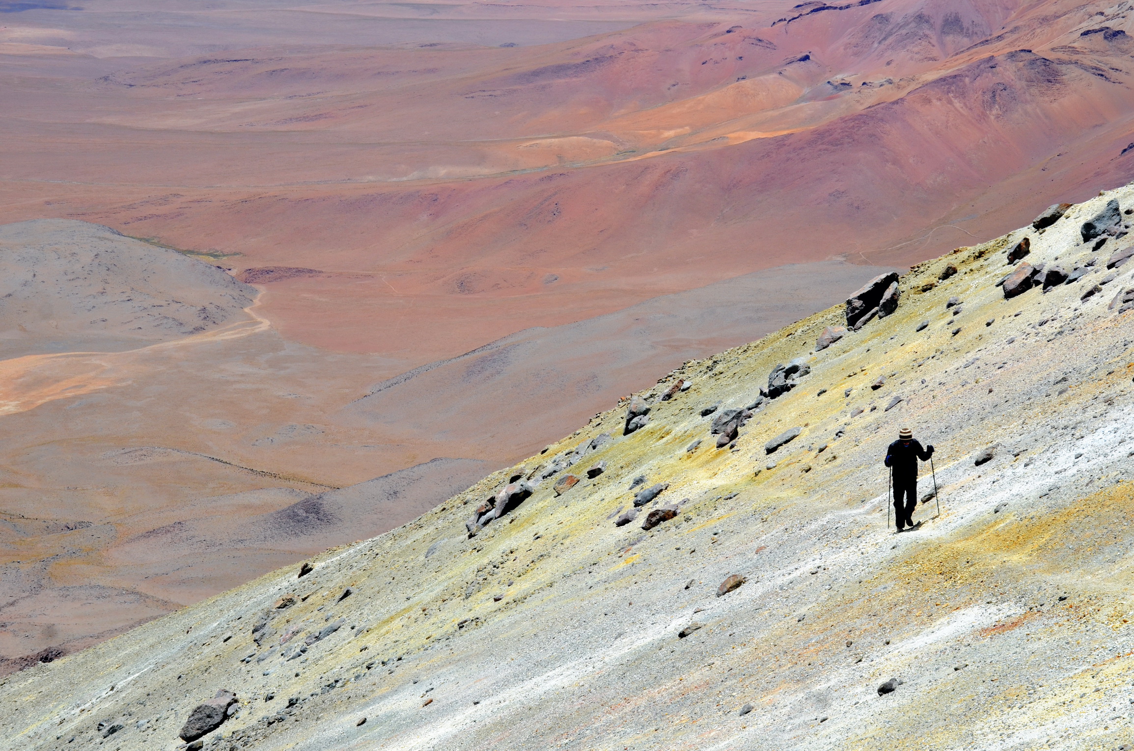
bolivia_2015-11-10_16_401
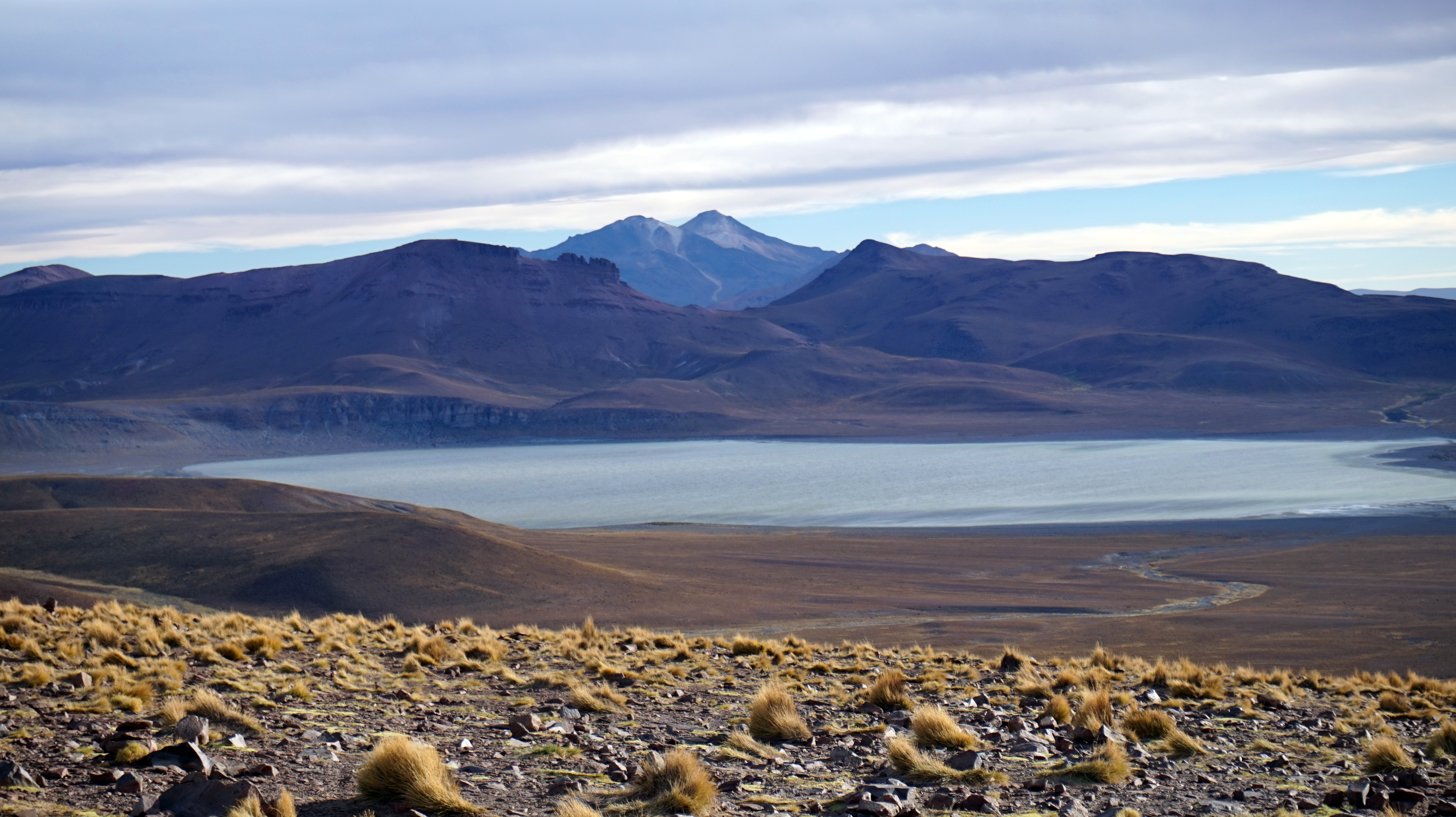
Eduardo Avaroa National Reserve of Andean Fauna, Bolivia
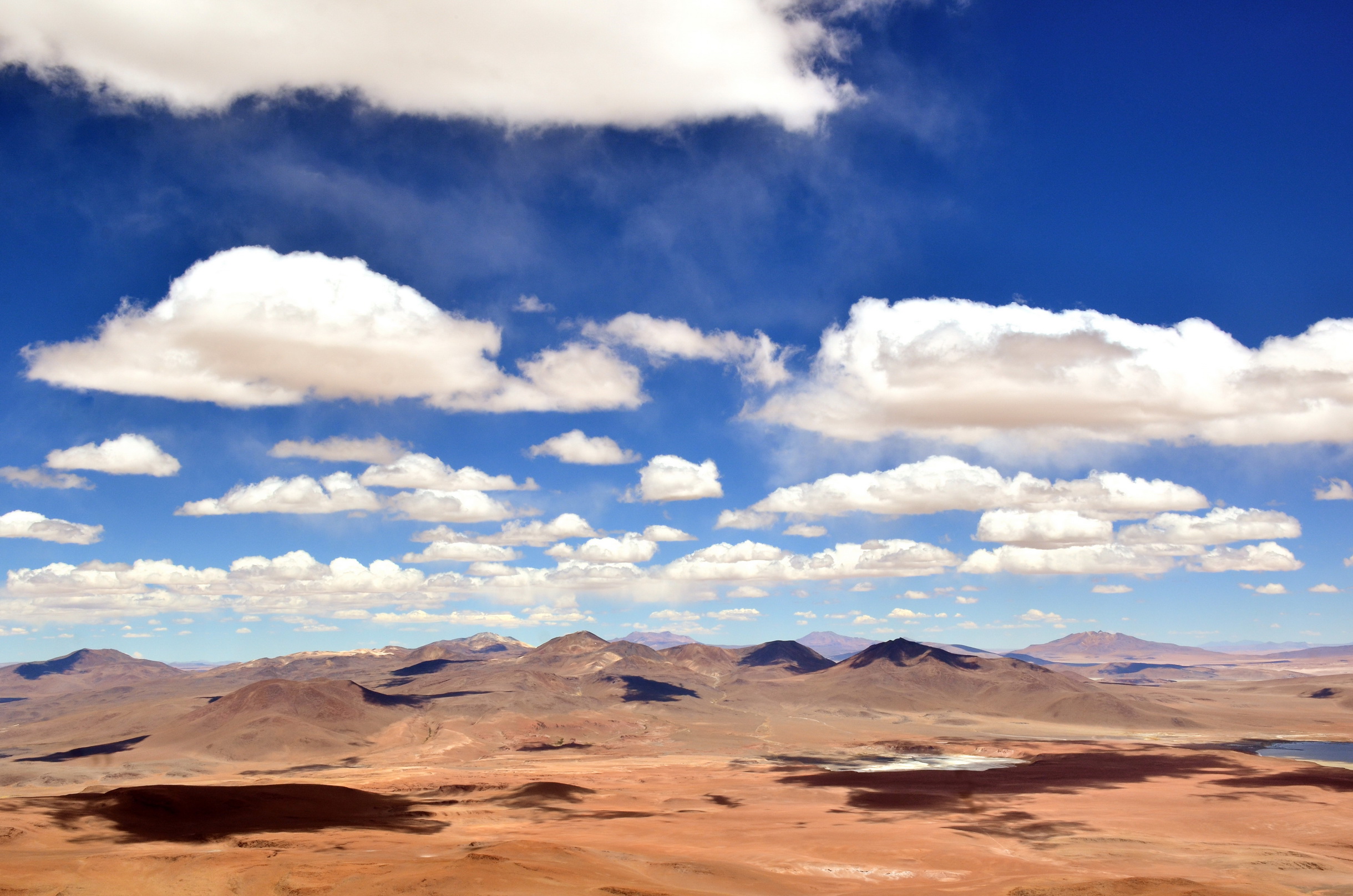
bolivia_2015-11-10_16_413
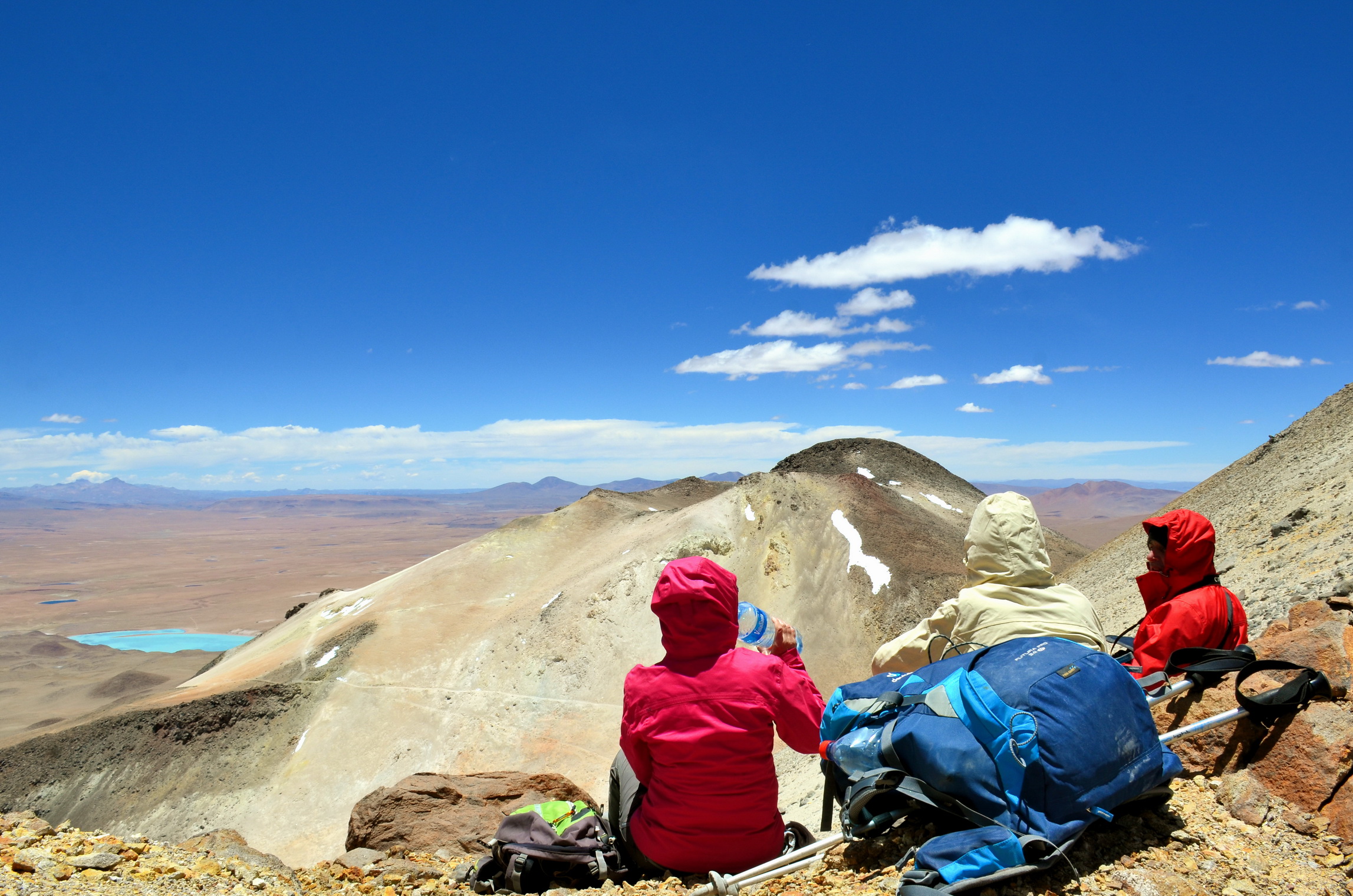
bolivia_2015-11-10_16_397
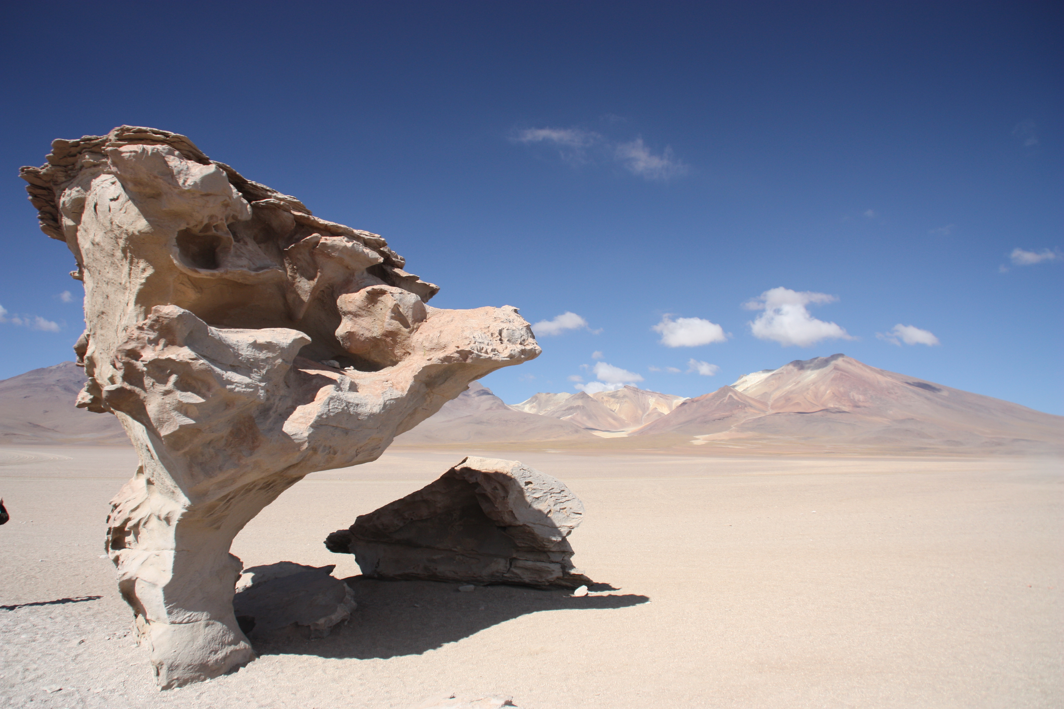
What a stone tree
Topographic Map of Sur Lípez, Bolivia
Find elevation by address:

Places in Sur Lípez, Bolivia:
P'aqu Urqu
Muruq'u
Laguna Verde
Quetena Chico
Laguna Colorada
Termas De Polques
Árbol De Piedra
Curiquinca
San Pablo
Places near Sur Lípez, Bolivia:
San Pablo
Quetena Chico
Sol De La Mañana
Sol De La Mañana Geyser
Sol De La Mañana
Soniquera
Villamar Mallcu
Jardines De Mallku Cueva
P'aqu Urqu
Muruq'u
Enrique Baldivieso
Culpina K
San Cristóbal
San Jerónimo
Andes
San Vicente
Chilcobija Campamento Minero
Recent Searches:
- Elevation of Corso Fratelli Cairoli, 35, Macerata MC, Italy
- Elevation of Tallevast Rd, Sarasota, FL, USA
- Elevation of 4th St E, Sonoma, CA, USA
- Elevation of Black Hollow Rd, Pennsdale, PA, USA
- Elevation of Oakland Ave, Williamsport, PA, USA
- Elevation of Pedrógão Grande, Portugal
- Elevation of Klee Dr, Martinsburg, WV, USA
- Elevation of Via Roma, Pieranica CR, Italy
- Elevation of Tavkvetili Mountain, Georgia
- Elevation of Hartfords Bluff Cir, Mt Pleasant, SC, USA