Elevation of Superior, WI, USA
Location: United States > Wisconsin > Douglas County >
Longitude: -92.165397
Latitude: 46.5921937
Elevation: 223m / 732feet
Barometric Pressure: 99KPa
Elevation Map:
Satellite Map:
Related Photos:
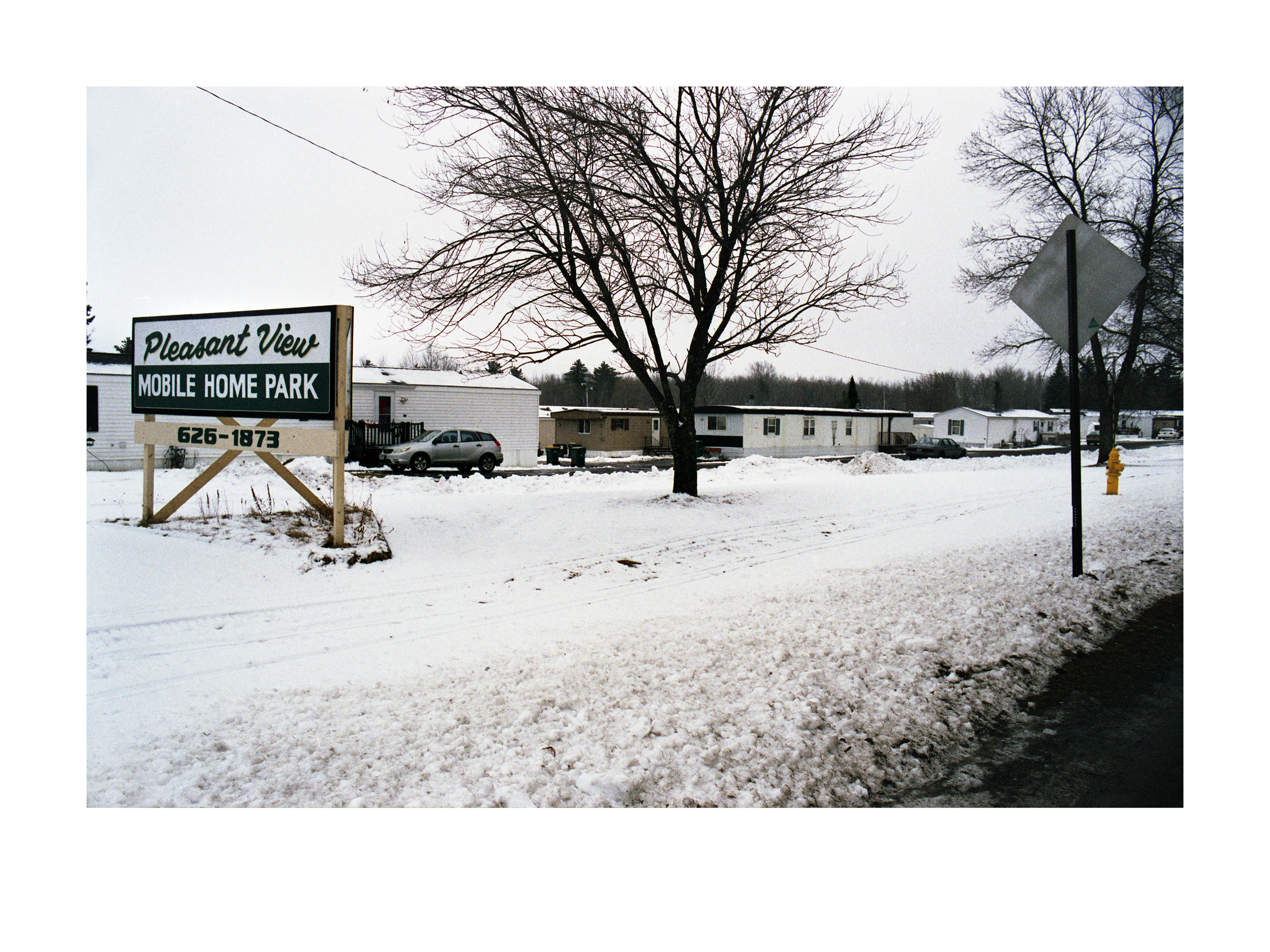
Pleasant View Mobile Home Park

Bird bath, 2 views

Small urban creek
The Floating GE

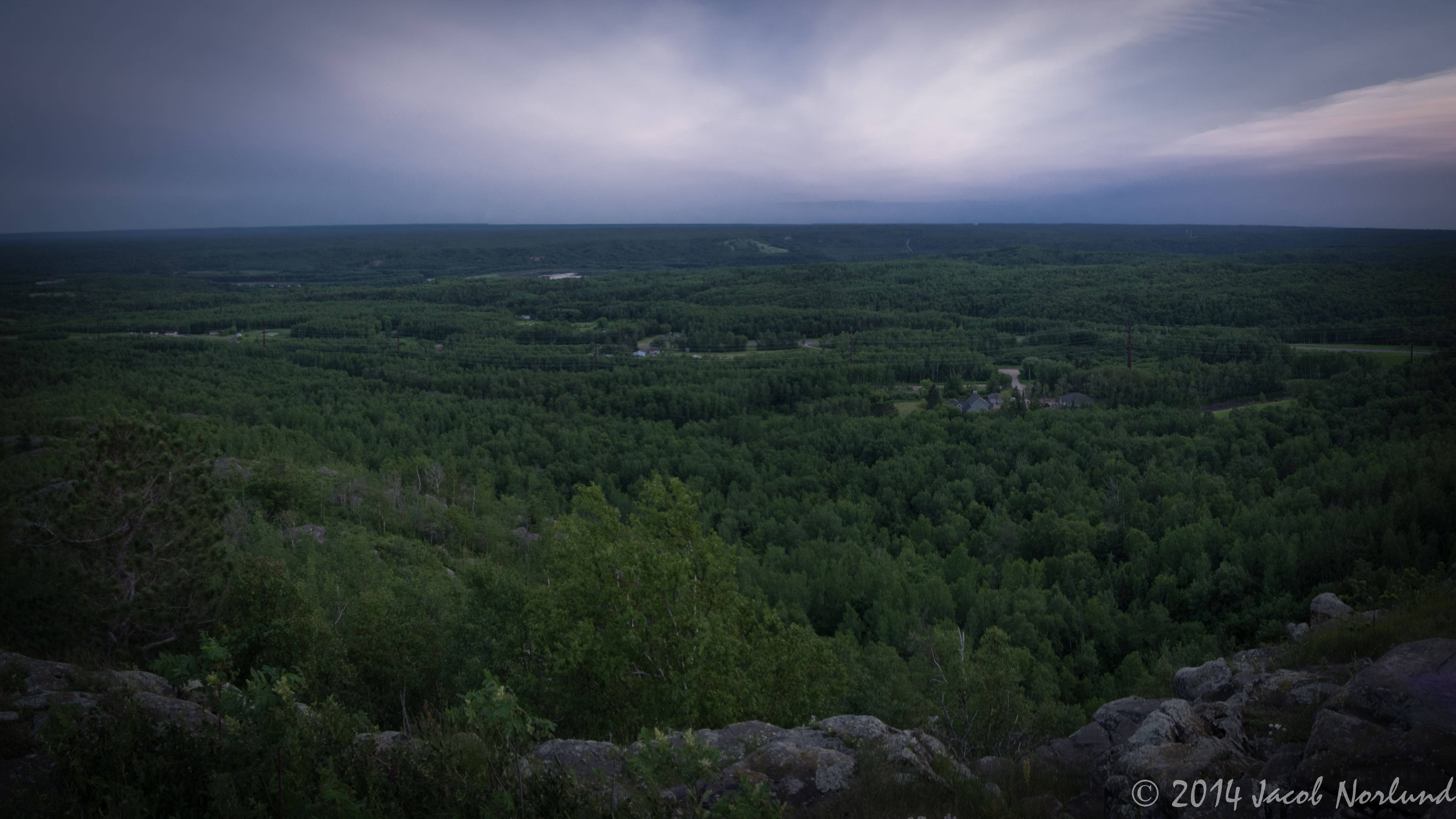
Jay Cooke State Park Landscape
Rengo Salute
Big Manitou 1
View from top of Ely's Peak tunnel

Jay Cooke State Park Landscape

Railroad trestle across the Black River
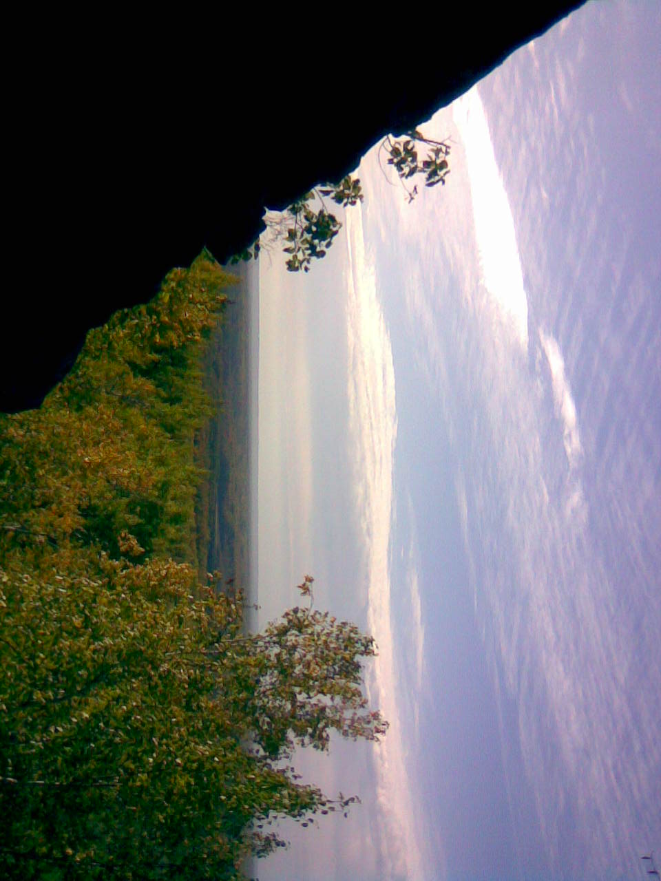
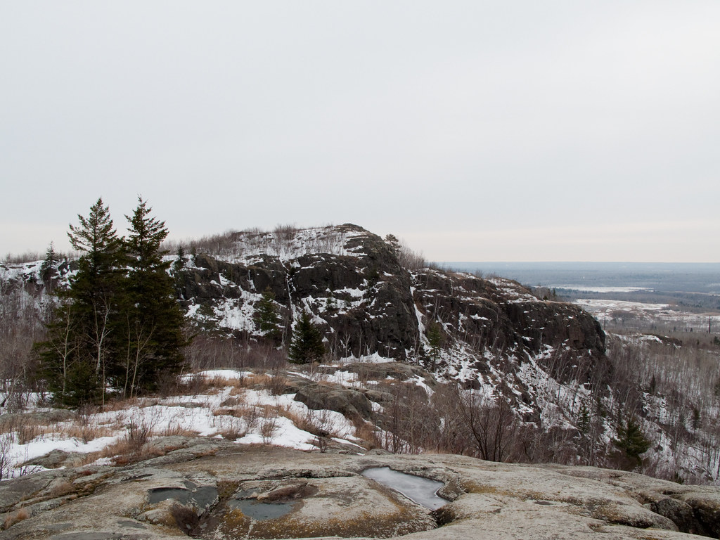
View from Ely's Peak 1
CRW_8589-01

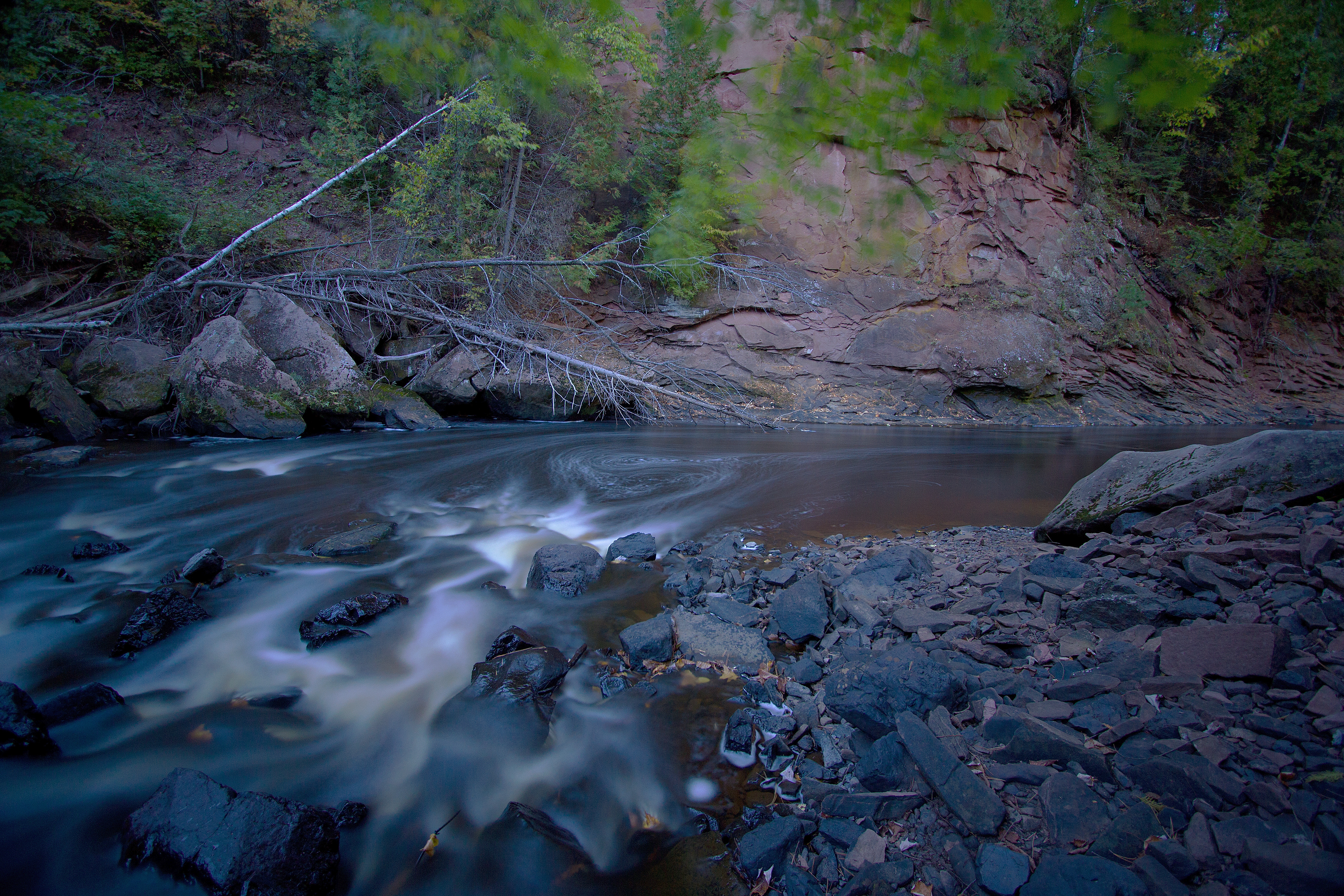
Jay Cooke State Park Landscape
North at North Steelton
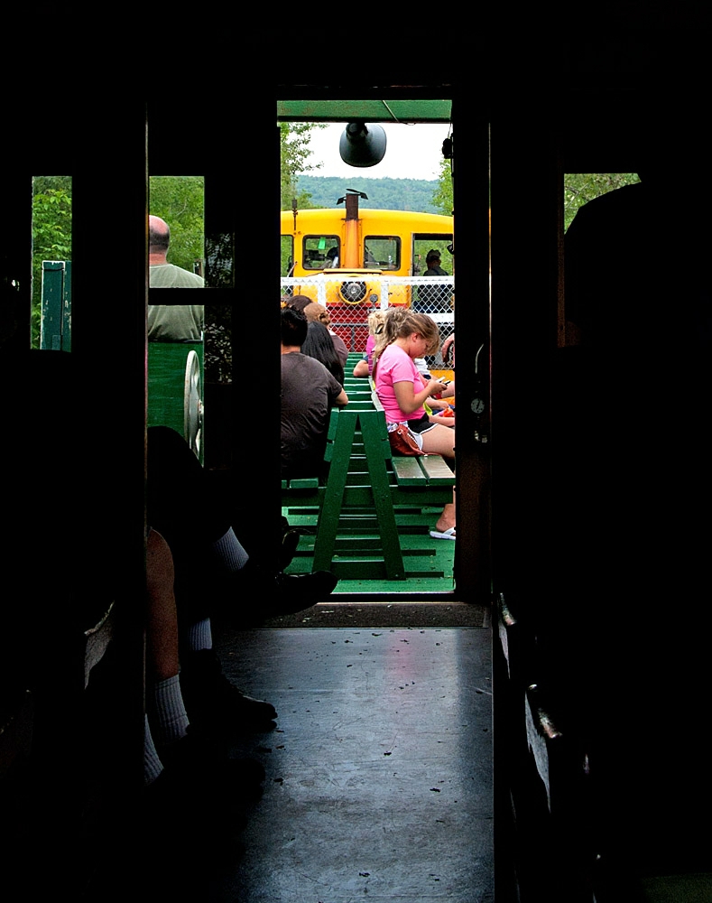
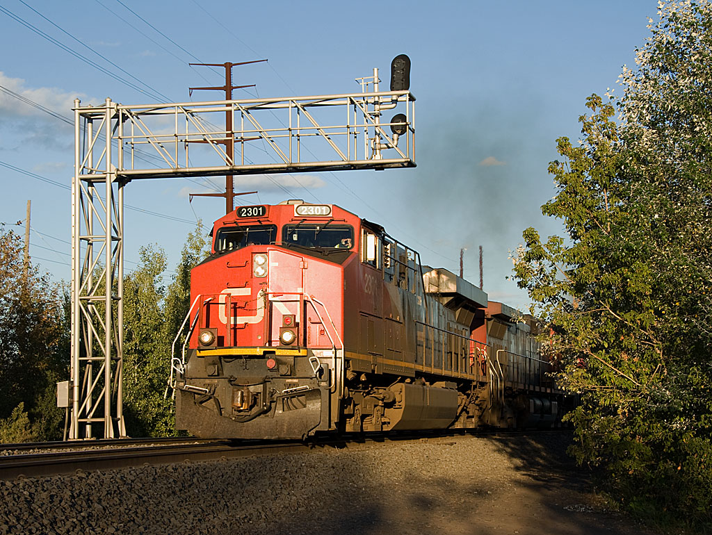
Car 29
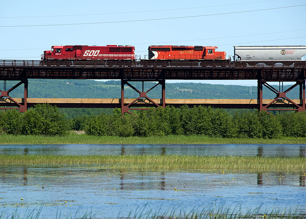
Soo 6044 Oliver Bridge
IMG_3904.jpg
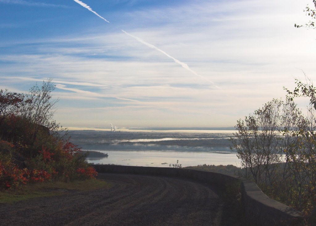
A view of the river...
another angle/view
CN Pokegama Yard
Salvage camper trailer evening, alternate view
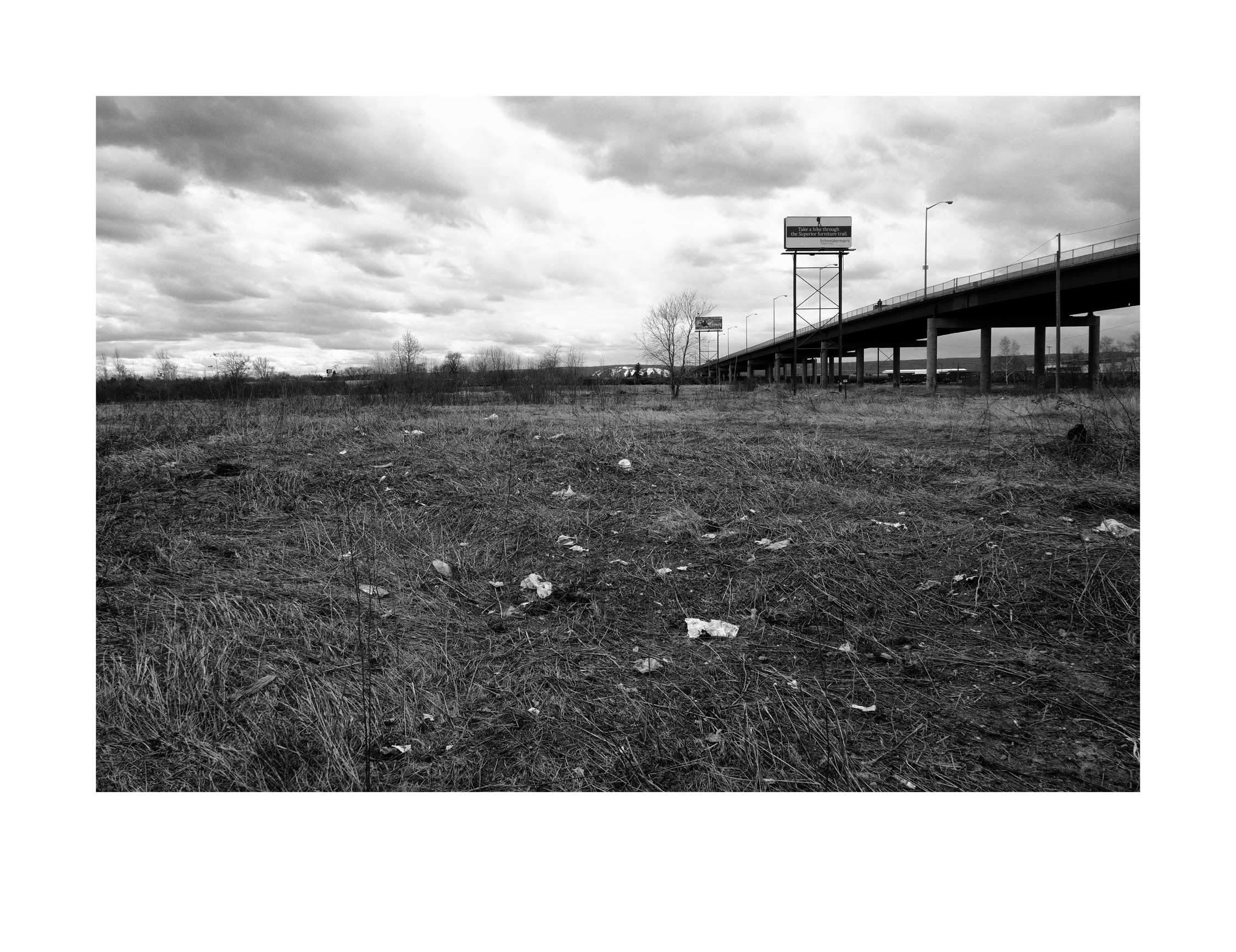
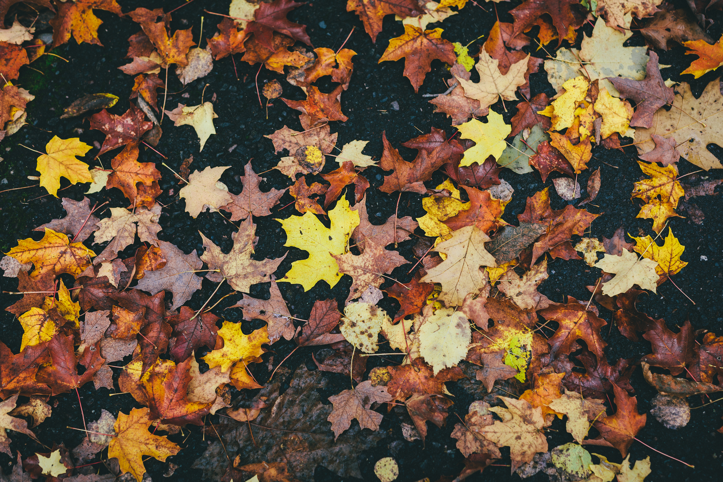
Fields of green and gold

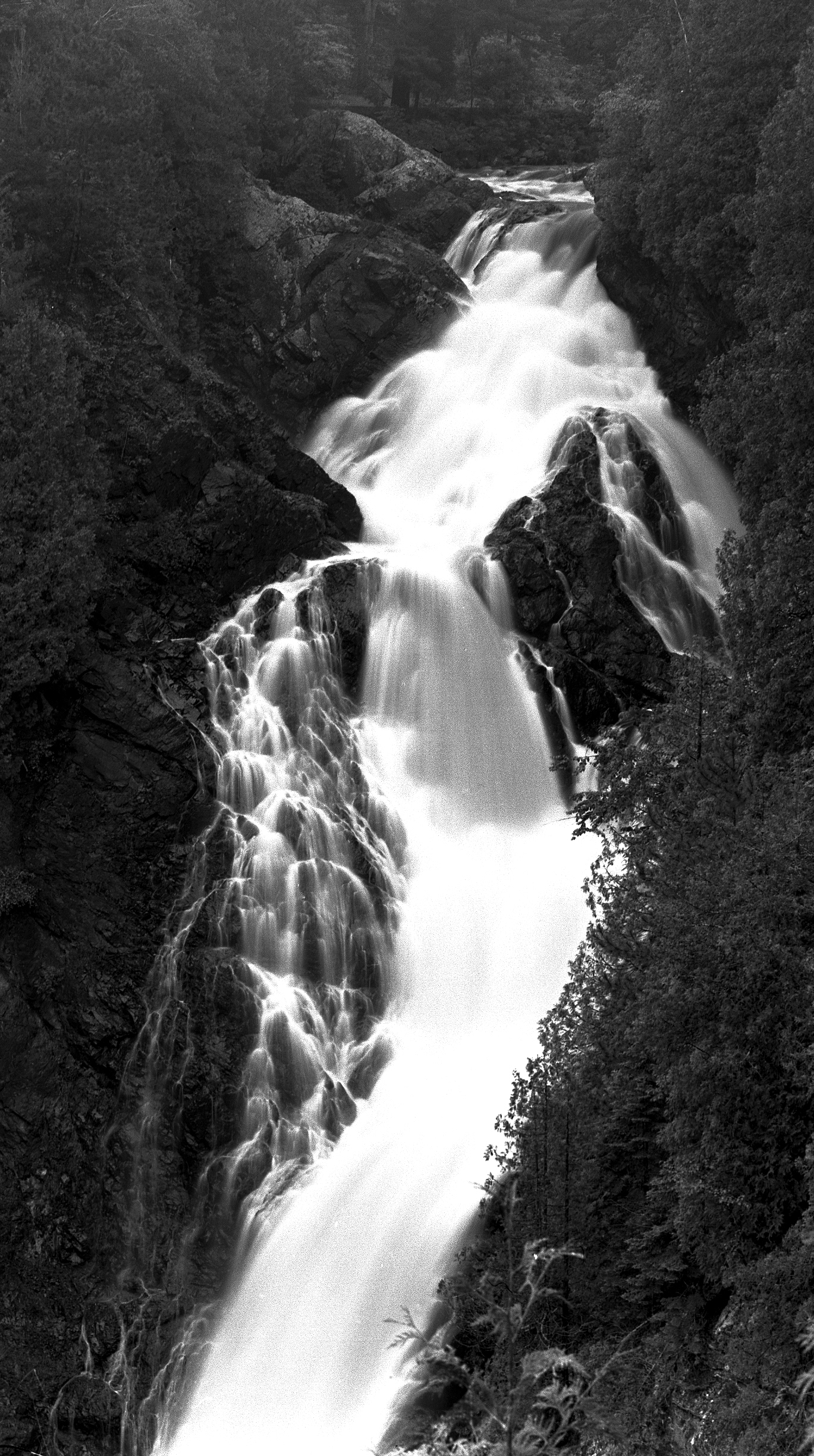
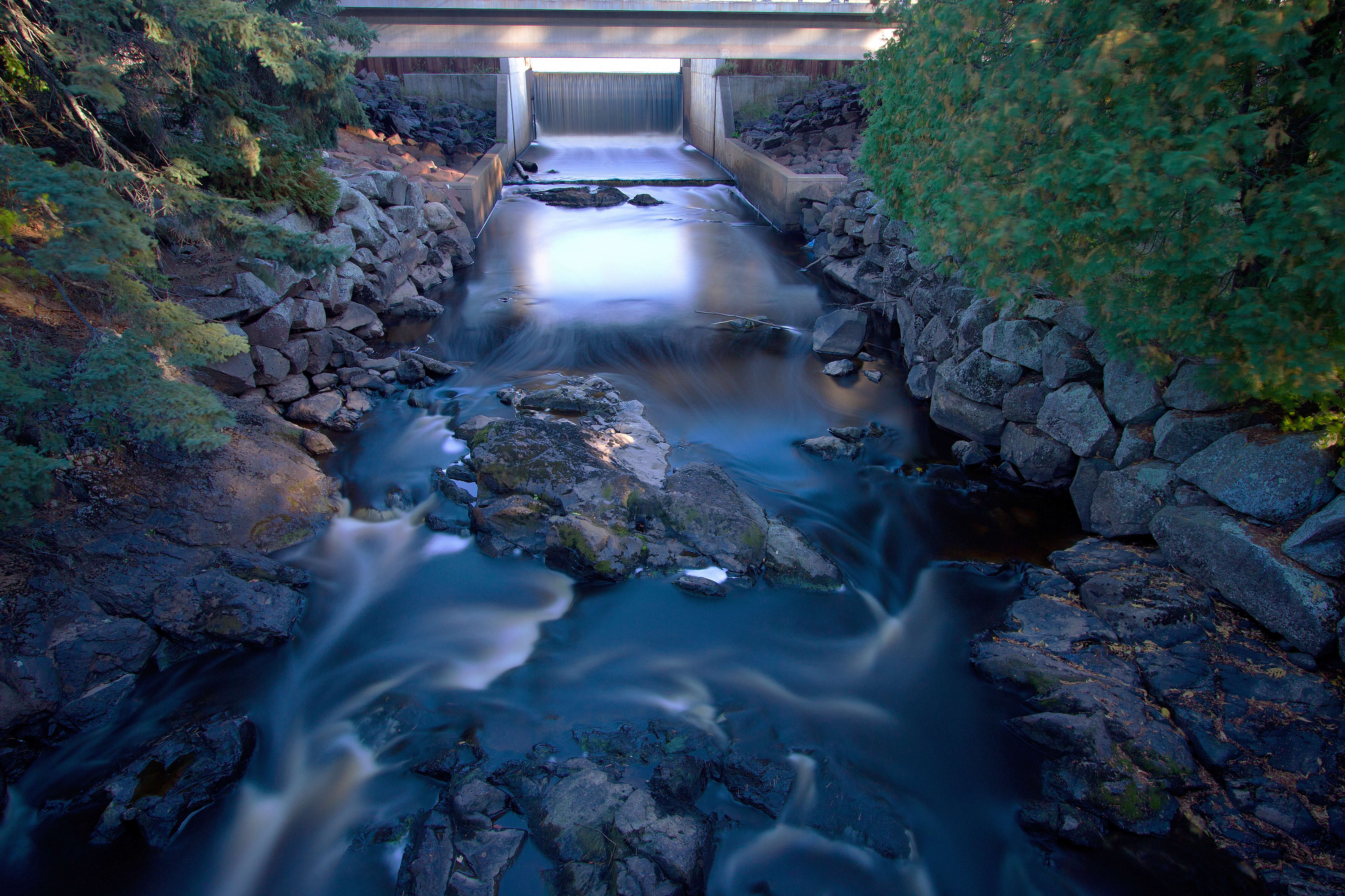
30. Little Manitou Falls

SD60 on the Oliver Bridge

St Louis River after the Storm

_MG_5439 - The Black River. ©Jerry Mercier

Pattison State Park - Black River
Pattison State Park - Black River
Pattison State Park - Black River
fall on clough island
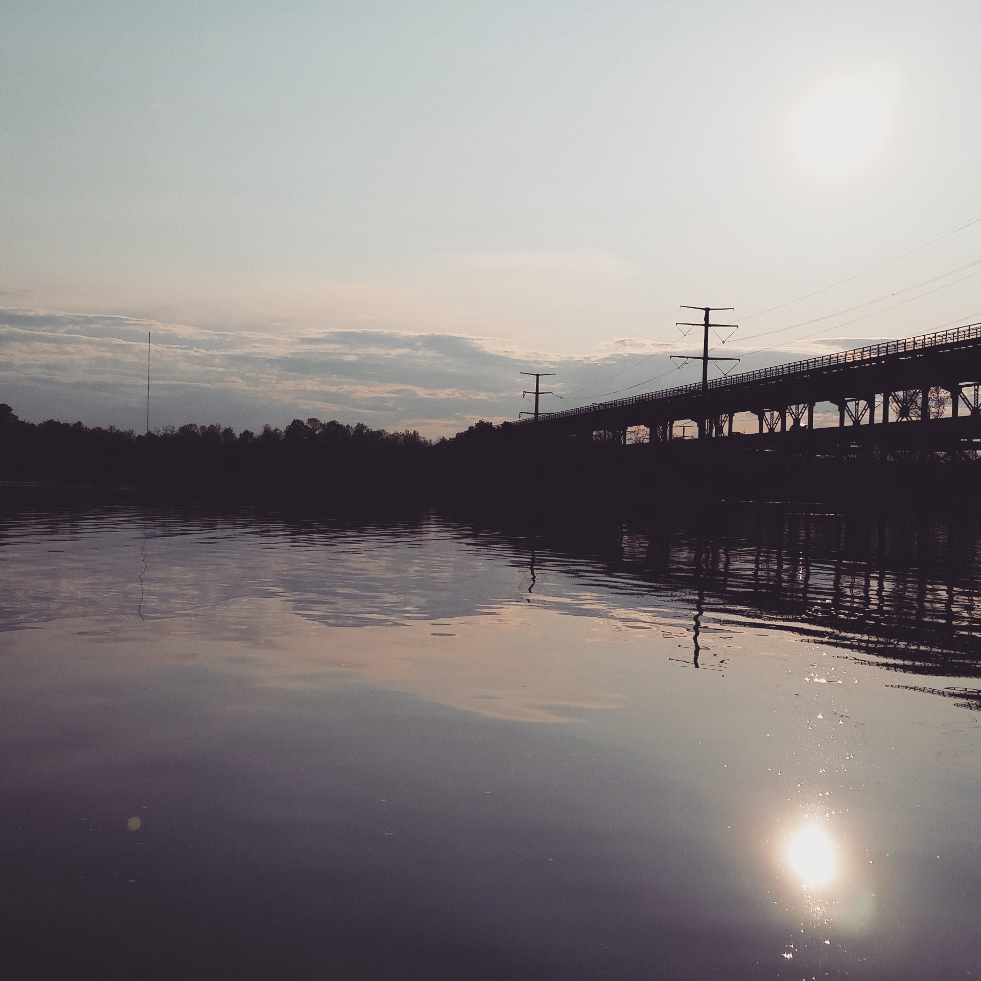
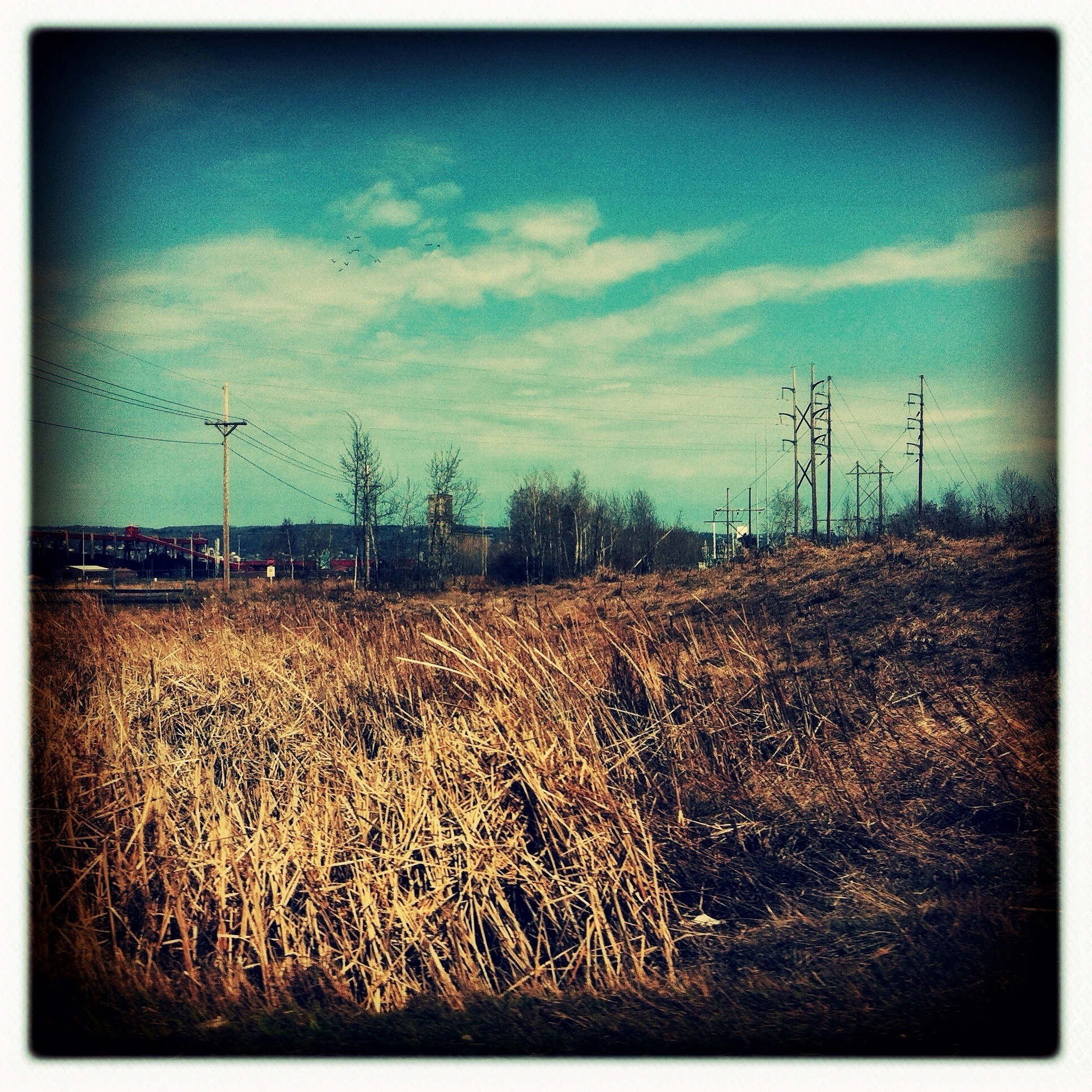
st. louis river

Along Keene Creek
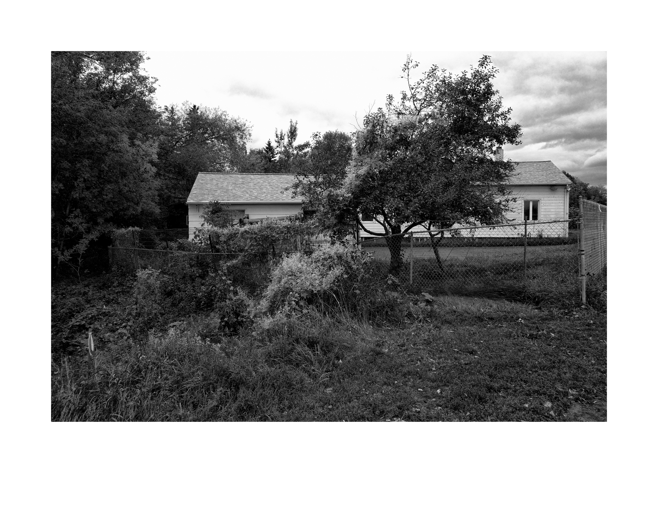
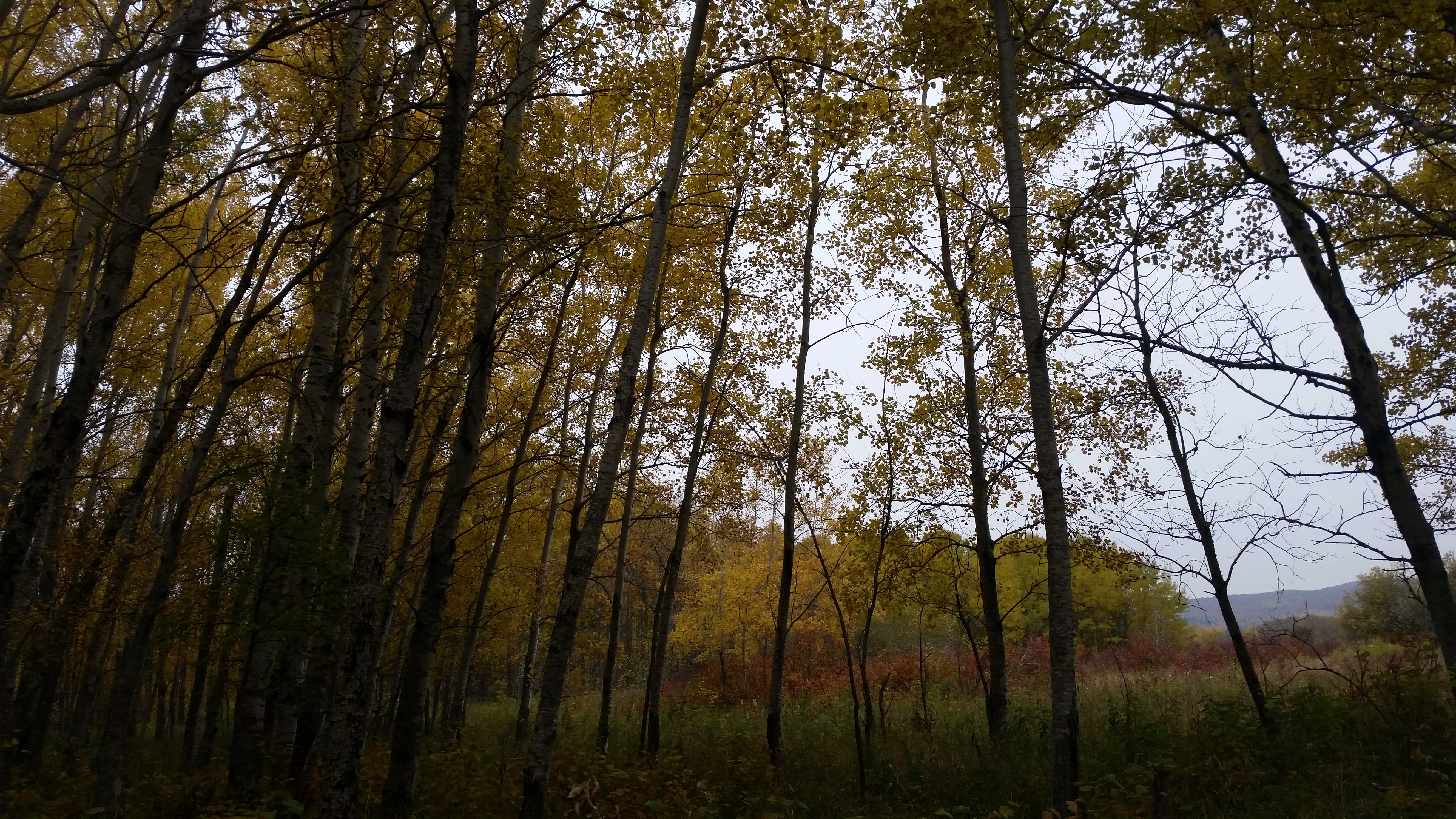
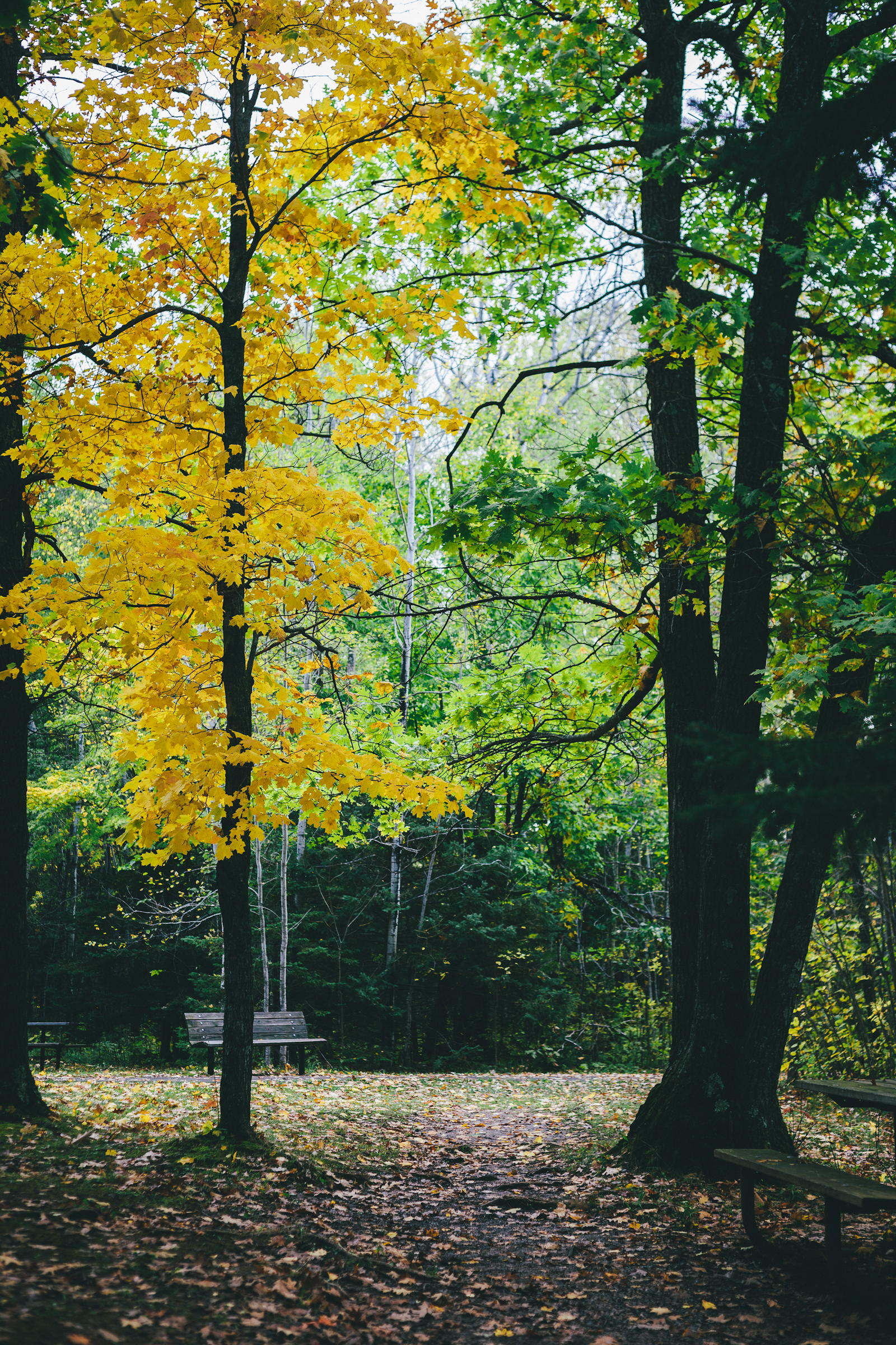
Autumn landscape
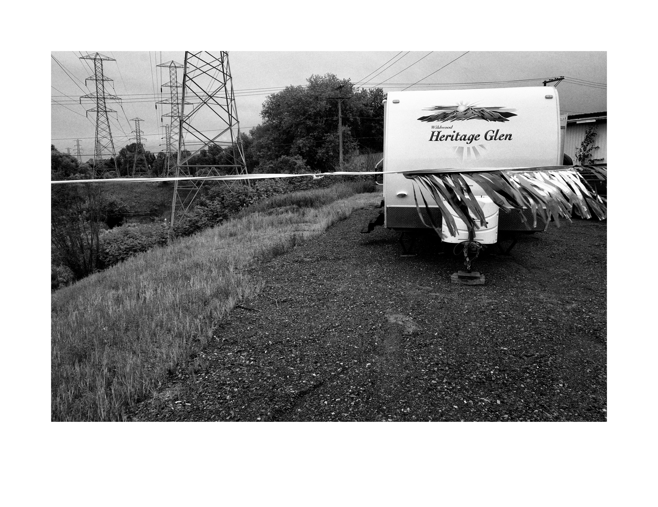
Wildwood Heritage Glen
A Spring landscape
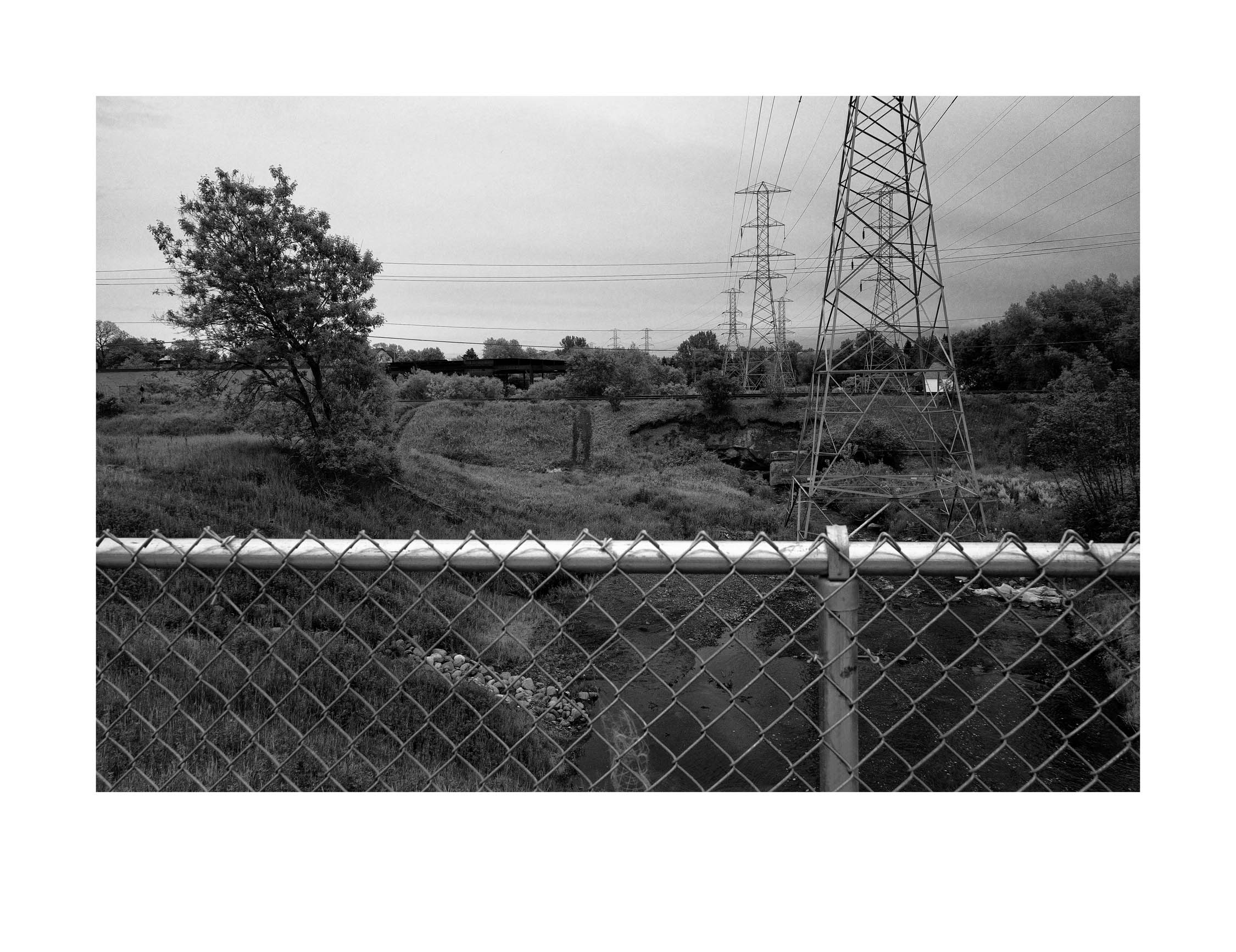
A small urban creek

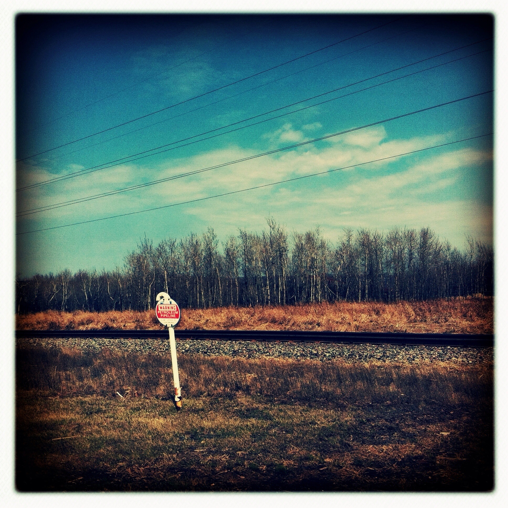
Coal docks & harbor side industrial area
Jay Cooke State Park, Thomson, MN
Superior, WI
Jay Cooke State Park, Thomson, MN
Superior, WI
Topographic Map of Superior, WI, USA
Find elevation by address:

Places in Superior, WI, USA:
Places near Superior, WI, USA:
S Riverview Dr, Superior, WI, USA
15 E Peary St, Duluth, MN, USA
87th Ave W, Duluth, MN, USA
Ely's Peak
2193 New York Ave
W 2nd St, Duluth, MN, USA
10325 Bessemer St
Riverside
N 17th St, Superior, WI, USA
Billings Park
Irving
Spirit Mountain Place
100 N Central Ave
5 S 68th Ave W, Duluth, MN, USA
Fairmount
N Central Ave, Duluth, MN, USA
2998 Shannon Rd
Skyline Parkway
Midway Township
Denfeld
Recent Searches:
- Elevation of Corso Fratelli Cairoli, 35, Macerata MC, Italy
- Elevation of Tallevast Rd, Sarasota, FL, USA
- Elevation of 4th St E, Sonoma, CA, USA
- Elevation of Black Hollow Rd, Pennsdale, PA, USA
- Elevation of Oakland Ave, Williamsport, PA, USA
- Elevation of Pedrógão Grande, Portugal
- Elevation of Klee Dr, Martinsburg, WV, USA
- Elevation of Via Roma, Pieranica CR, Italy
- Elevation of Tavkvetili Mountain, Georgia
- Elevation of Hartfords Bluff Cir, Mt Pleasant, SC, USA