Elevation of Sunset Dr, Salt Spring Island, BC V8K 1E7, Canada
Location: Canada > British Columbia > Salt Spring Island >
Longitude: -123.58962
Latitude: 48.9115114
Elevation: 22m / 72feet
Barometric Pressure: 101KPa
Elevation Map:
Satellite Map:
Related Photos:
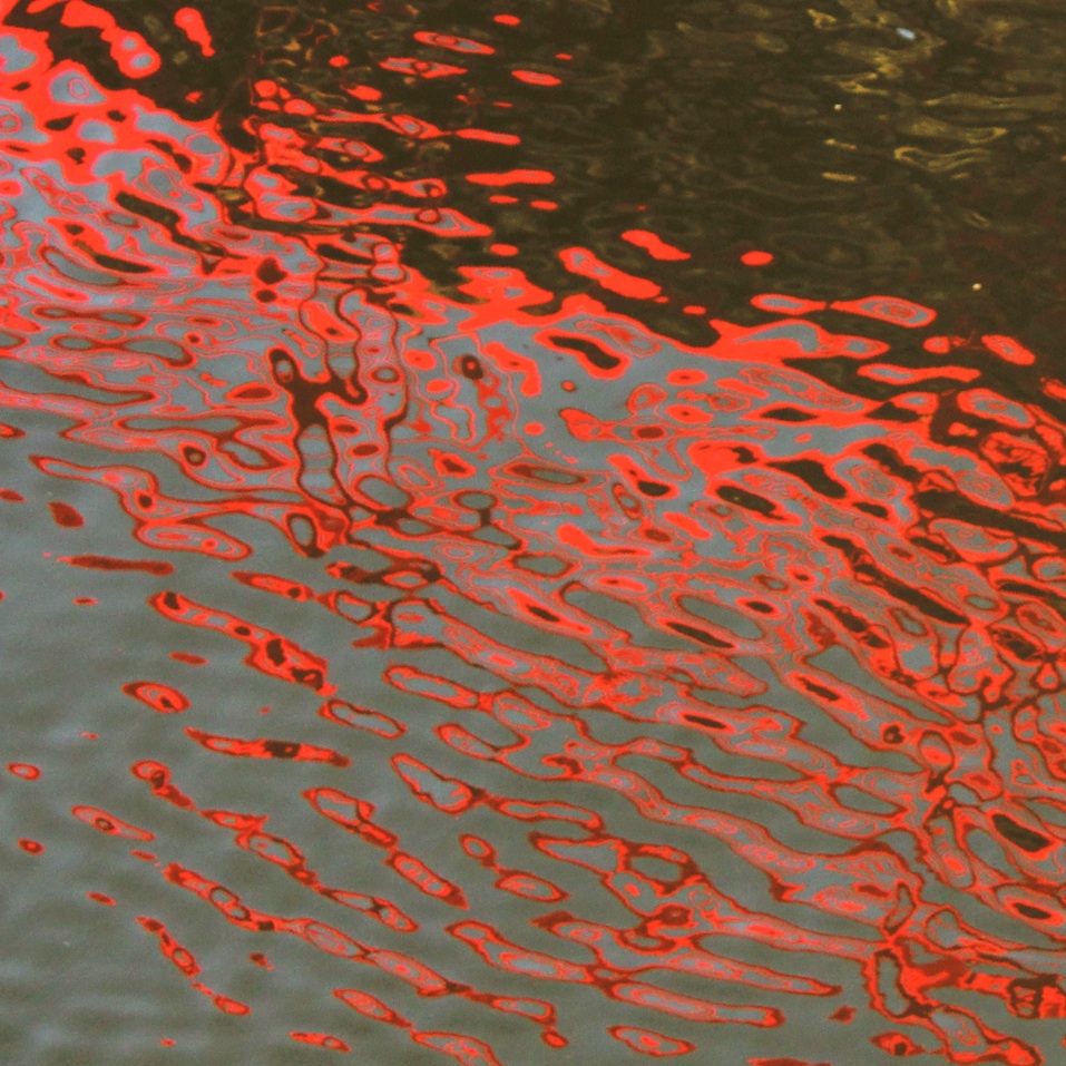
Red Bridge

Vancouver, circa 1886
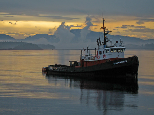
seaspan Queen
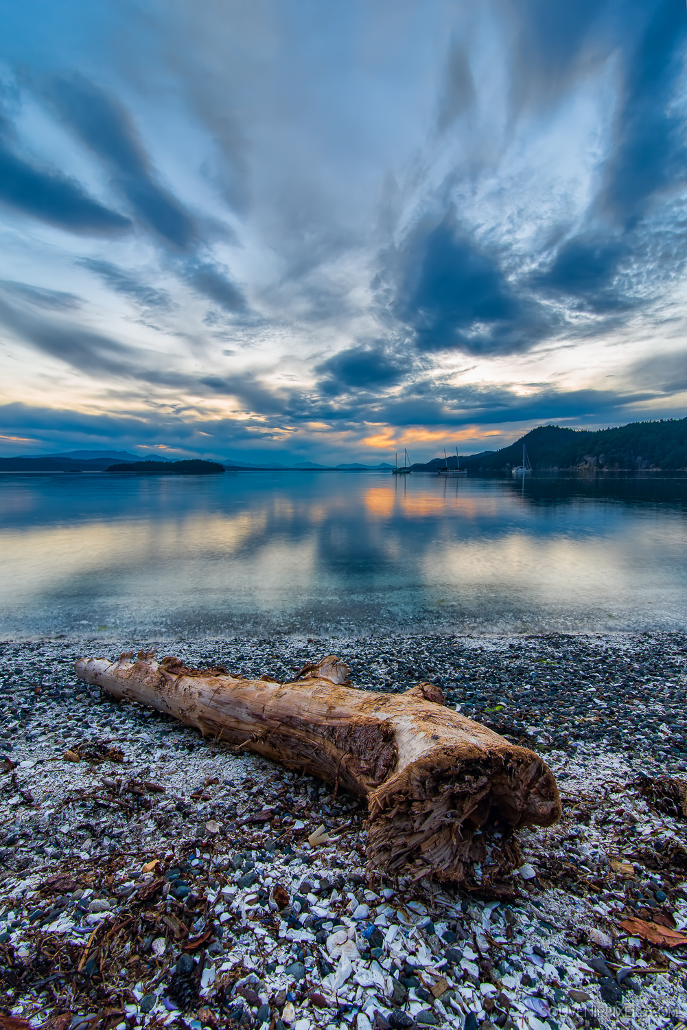
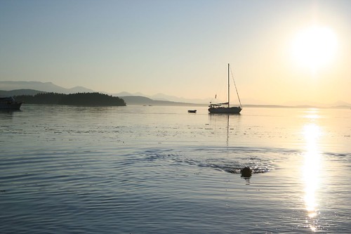
Montague Harbour Log

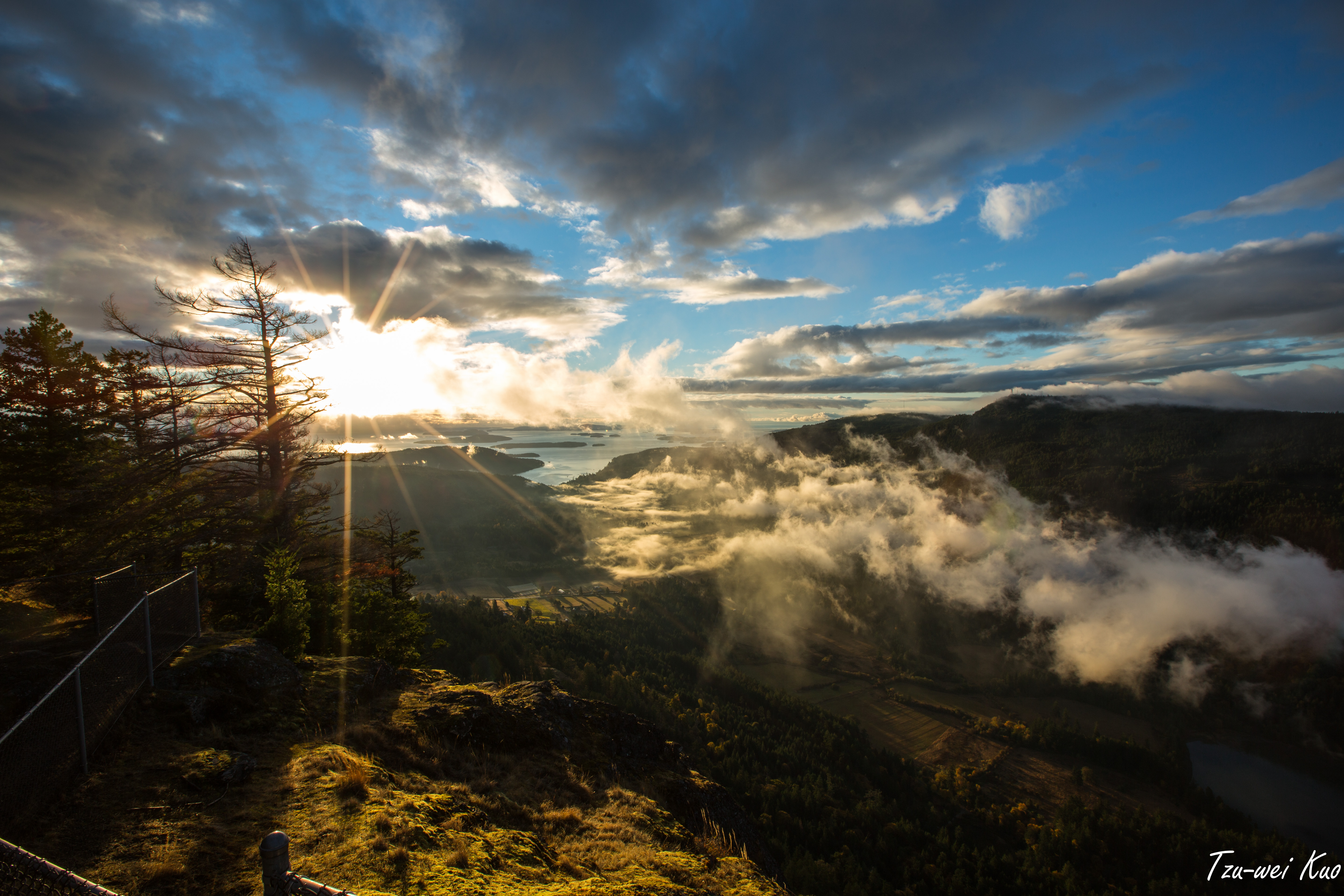
View from Mount Maxwell in Salt Spring Island
View from Ganges in Salt Spring Isalnd
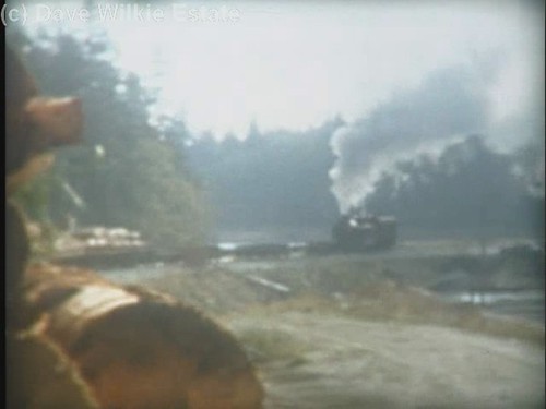
MacMillan Bloedel 1044 - trip to Chemainus Log Dump(c) - excerpt
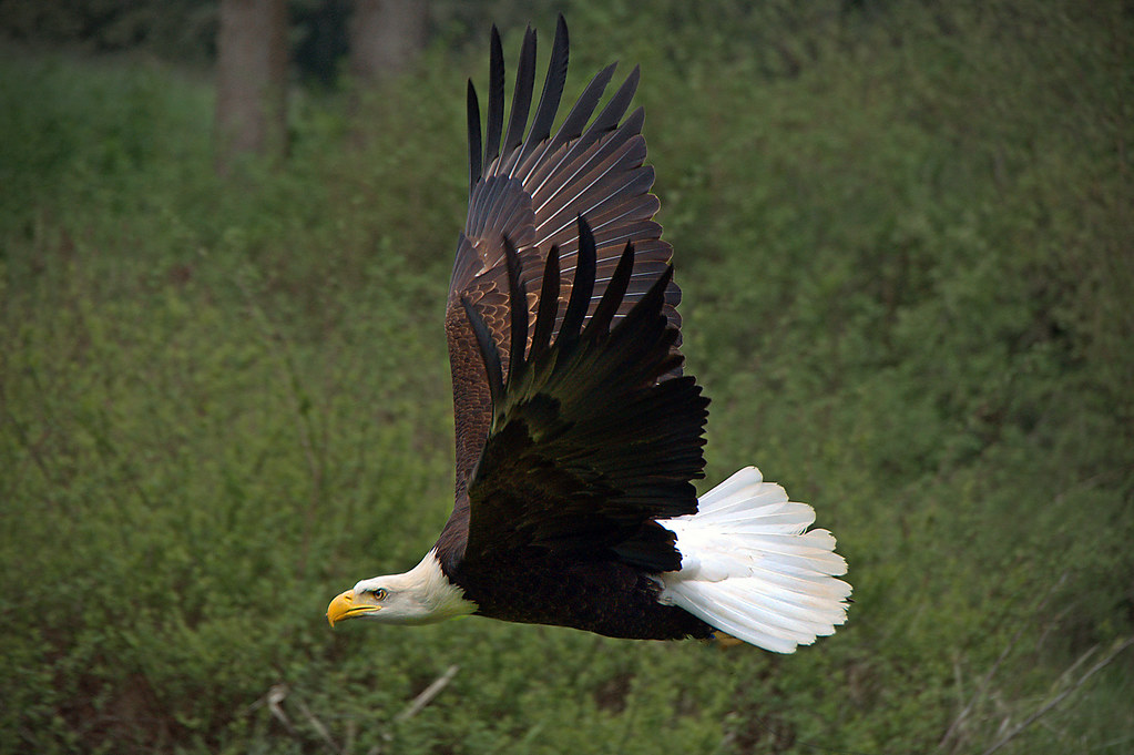
WORDS OF THE WISE EAGLE
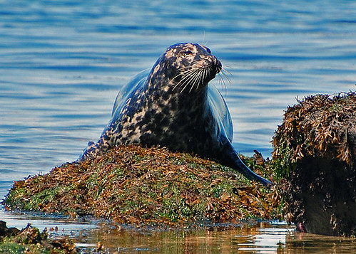
A Resident Sunbather
view from the beach (33)
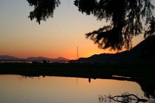
view from the beach (32)
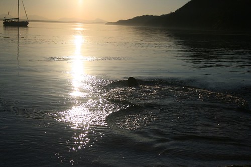
view from the beach (3)
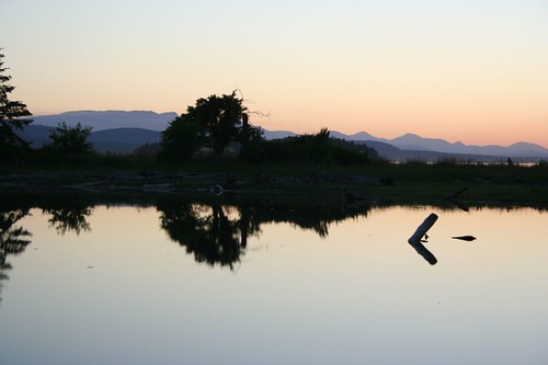
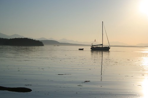
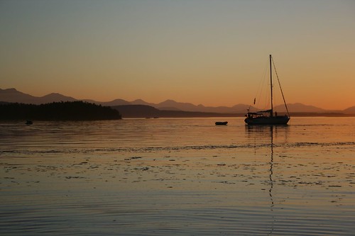
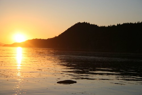
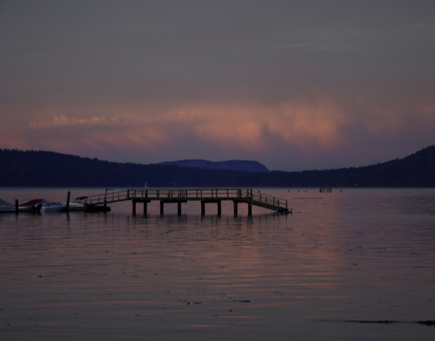
Montague Harbour Sunset
view from the beach (22)
view from the beach (9)
view from the beach (27)
view from the beach (10)
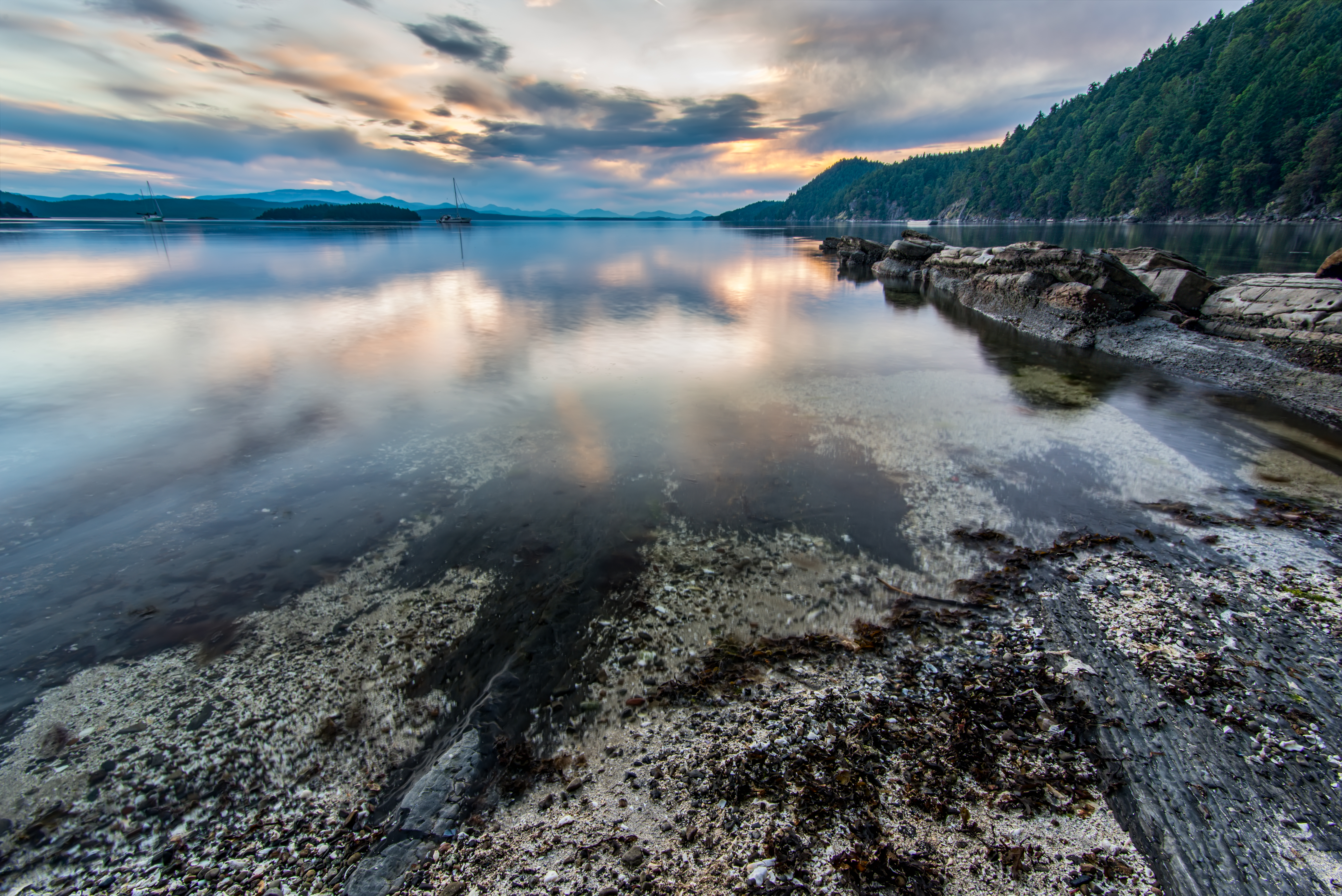
Montague Harbour Rocks
view from the beach (34)

Front Window
Fulford Valley Panorama
Live in the Breath
E&N Crofton Spur
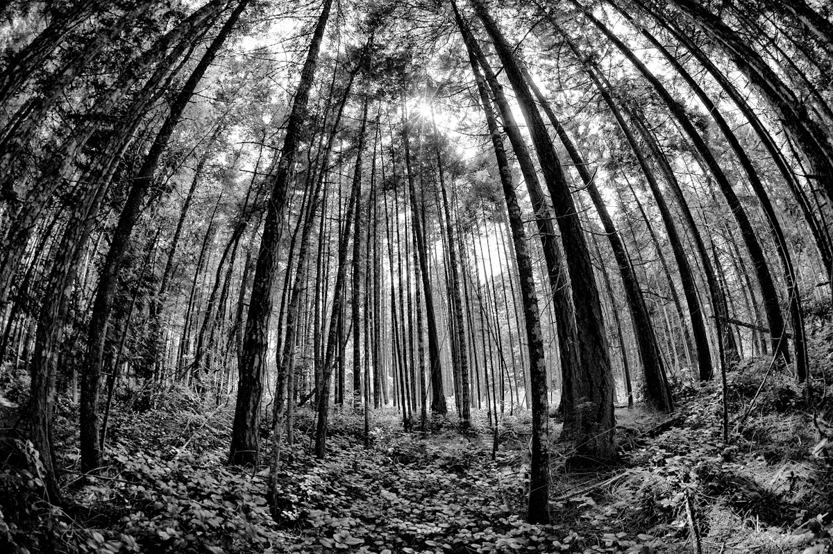
Galiano Forest - Sunshine Coast British Columbia

Atop Mount Maxwell [16:9]
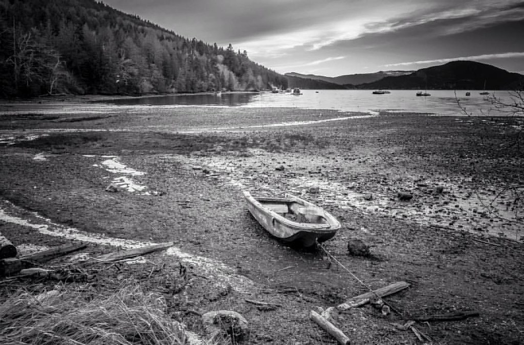
Low tide at Burgoyne Bay, Saltspring Island. #saltspring #island #bc #canada #weather #bw #blackandwhite #boat #explorebc #explorevancouver #fishing #hellobc #igers #igdaily #landscape #northwest #nationalpark #organic #pnw #pacificnorthwest #sunset #t
Crofton Harbour

sunrise ICM
view from the beach (12)

Misty morning mantra march
HIP_318297835.305395

Show Time

Canada day on Saltspring

After the rain
ALONG A STREAM

Anchorage, Annette Inlet, Prevost Island
Summer photos
TWKuo_2012_1021_082.jpg
TWKuo_2012_1021_050.jpg

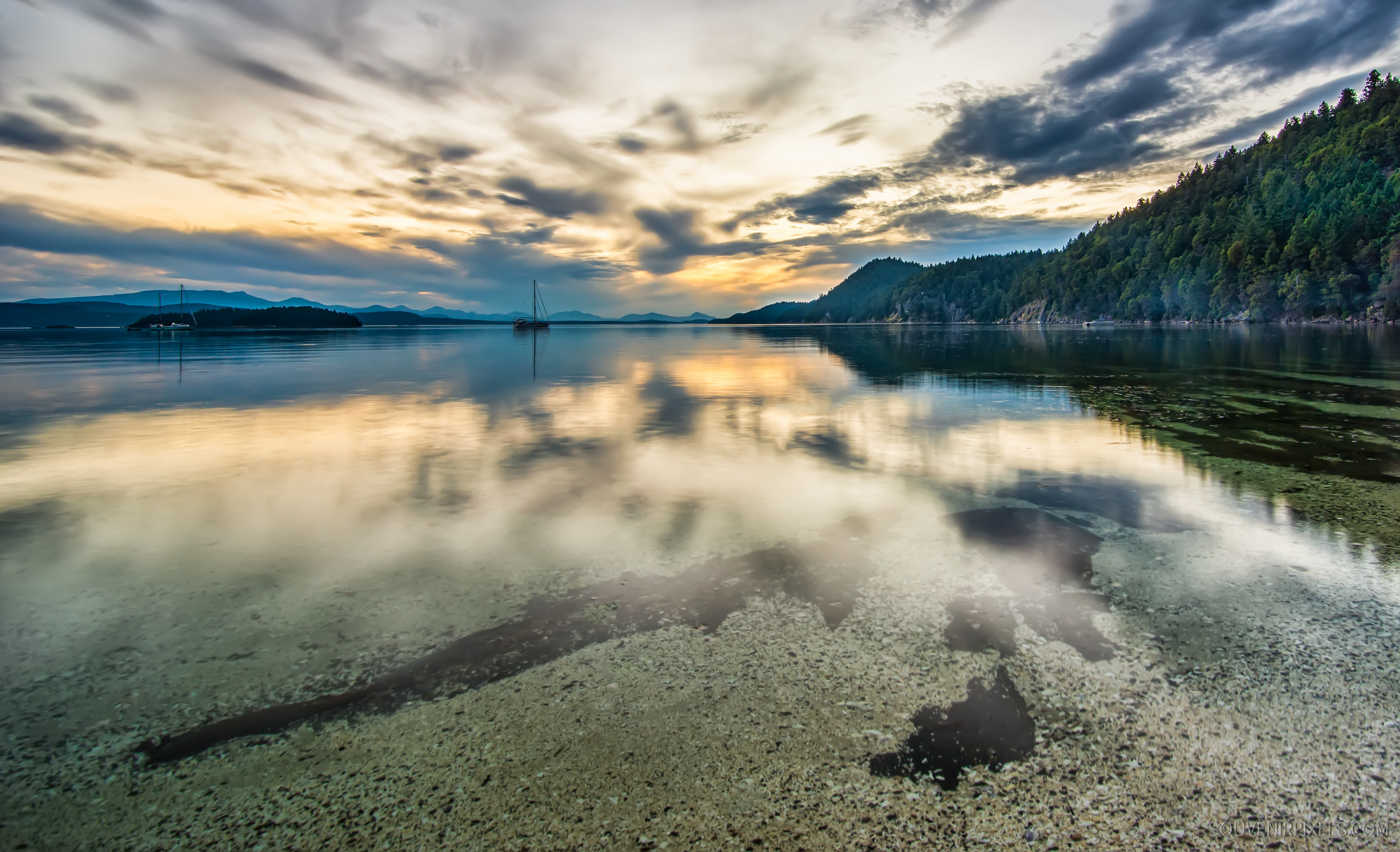
Glow [16:9]
Topographic Map of Sunset Dr, Salt Spring Island, BC V8K 1E7, Canada
Find elevation by address:

Places near Sunset Dr, Salt Spring Island, BC V8K 1E7, Canada:
Sunset Drive
238 Suneagle Dr
238 Suneagle Dr
105 Suneagle Dr
235 Monteith Rd
235 Monteith Rd
235 Monteith Rd
235 Monteith Rd
235 Monteith Rd
235 Monteith Rd
235 Monteith Rd
235 Monteith Rd
235 Monteith Rd
235 Monteith Rd
235 Monteith Rd
235 Monteith Rd
140 Epron Rd
205 Broadwell Rd
Baker Ridge Trail
1570 N End Rd
Recent Searches:
- Elevation of Corso Fratelli Cairoli, 35, Macerata MC, Italy
- Elevation of Tallevast Rd, Sarasota, FL, USA
- Elevation of 4th St E, Sonoma, CA, USA
- Elevation of Black Hollow Rd, Pennsdale, PA, USA
- Elevation of Oakland Ave, Williamsport, PA, USA
- Elevation of Pedrógão Grande, Portugal
- Elevation of Klee Dr, Martinsburg, WV, USA
- Elevation of Via Roma, Pieranica CR, Italy
- Elevation of Tavkvetili Mountain, Georgia
- Elevation of Hartfords Bluff Cir, Mt Pleasant, SC, USA