Elevation of Sunny Hill Rd, Greenville, NY, USA

Location: United States > New York > Greene County > Greenville > Greenville >

Longitude: -73.998588

Latitude: 42.367554

Elevation: 260m / 853feet

Barometric Pressure: 98KPa

Elevation Map:

elevation map of Sunny Hill Rd, Greenville, NY, USA

Satellite Map:

Satellite map of Sunny Hill Rd, Greenville, NY, USA

Related Photos:

november ny explore photomerge 2014 greenecounty catskillmountains singlerawhdr greenvilledrivein
Screen with a View
catskills mountain catskillmountains route23overlook landscape scenic vista cloud green blue color windham cairo acra summer outdoor pentax pentaxart sigma1750mmf28lens k70 kmount dramaticsky newyork nature durham dursocorner
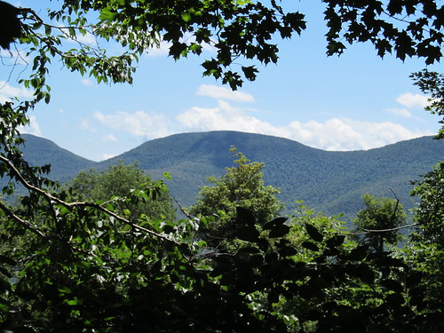
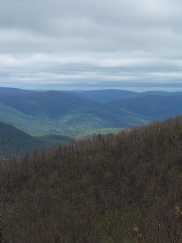
Catskill Mountains View
View From Black Dome Mt
acdseephotostudio americanhistory architecture backroad businessandcommerce catskillmountains countryside foodanddrink greenecounty hdr highdynamicrangeimage historicamericanbuilding historicbuilding historicplaces newyorkstate nikond750 northamerica outdoor photogeorge photoshoot photomatixpro rural rurallife ruralliving ruralroad ruralscenes september summer freehold newyork unitedstatesofamerica us
Freehold NY US 01: Hamlet of Freehold
View From Black Dome Mt
View of TriMount and Other Catskills
travel newyork us unitedstates cairo 365 project365 photoprojects 3652015 00places
2015 309/365
acdseephotostudio americanhistory architecture backroad businessandcommerce catskillmountains countryside foodanddrink greenecounty historicamericanbuilding historicbuilding historicplaces newyorkstate nikond750 northamerica outdoor photogeorge photoshoot rural rurallife ruralliving ruralroad ruralscenes september summer freehold newyork unitedstatesofamerica us
Freehold NY US 27: Fire Deptartment Meeting Hall
snow rural upstateny cairo catskills catskill greenecounty catskillmountains greenecountyny sandyplains cairony
The View from Sandy Plains
shadow mountains fence view catskills thefarm
The View
mountain cole thomas maps hike windham andyarthur mapswindham
Thomas Cole Mountain Hike
panorama mountain ny mountains geotagged outdoors us spring unitedstates hiking newyorkstate springtime catskillpark eastjewett ccbysa30 dissectedplateau thomascolemountain thomascolemt
Spring view of Thomas Cole Mountain.
newyork holland history dutch pine museum barn fur farmers sweden swiss wheat farming colonial grain barns beaver revolution netherland mohawk northamerica hudsonriver hudson newyorkstate revolutionarywar americanrevolution greene hudsonrivervalley furs mohican pelts iroquois hudsonvalley newyorkhistory historymuseum greenecounty historicsite leendert historiclandmark bronckhouse bronckmuseum furtrade historicmuseum colonialamerica mahican dutchcolonial museumcomplex colonialperiod farmingfamily newnetherland bronck pieterbronck greenecountyhistoricalsociety dutchnewyork colonialnorthamerica hudsonvalleyhistory bronckhome leendertbronck helletjebronck mahicanindians bronckcomplex pieterbronckhouse pieterbronckhome janleendertbronck janleendert johnbronck helletje bronckfamily
Bronck Property
newyork holland history dutch pine museum barn fur farmers sweden swiss wheat farming colonial grain barns beaver revolution netherland mohawk northamerica hudsonriver hudson newyorkstate revolutionarywar americanrevolution greene hudsonrivervalley furs mohican pelts iroquois hudsonvalley newyorkhistory historymuseum greenecounty historicsite leendert historiclandmark bronckhouse bronckmuseum furtrade historicmuseum colonialamerica mahican dutchcolonial museumcomplex colonialperiod farmingfamily newnetherland bronck pieterbronck greenecountyhistoricalsociety dutchnewyork colonialnorthamerica hudsonvalleyhistory bronckhome leendertbronck helletjebronck mahicanindians bronckcomplex pieterbronckhouse pieterbronckhome janleendertbronck janleendert johnbronck helletje bronckfamily
1728 Brick House
hiking hike valley mohawk catskills overlook viewpoint schoharie escarpment escarpmenttrail burntknob windhamhighpeak
View north from Burnt Knob
newyork holland history dutch pine museum barn fur farmers sweden swiss wheat farming colonial grain barns beaver revolution netherland mohawk northamerica hudsonriver hudson newyorkstate revolutionarywar americanrevolution greene hudsonrivervalley furs mohican pelts iroquois hudsonvalley newyorkhistory historymuseum greenecounty historicsite leendert historiclandmark bronckhouse bronckmuseum furtrade historicmuseum colonialamerica mahican dutchcolonial museumcomplex colonialperiod farmingfamily newnetherland bronck pieterbronck greenecountyhistoricalsociety dutchnewyork colonialnorthamerica hudsonvalleyhistory bronckhome leendertbronck helletjebronck mahicanindians bronckcomplex pieterbronckhouse pieterbronckhome janleendertbronck janleendert johnbronck helletje bronckfamily
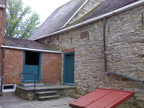
Back Courtyard
acdseephotostudio americanhistory architecture backroad businessandcommerce catskillmountains countryside foodanddrink greenecounty historicamericanbuilding historicbuilding historicplaces newyorkstate nikond750 northamerica outdoor photogeorge photoshoot rural rurallife ruralliving ruralroad ruralscenes september summer freehold newyork unitedstatesofamerica us
Freehold NY US 28: Freehold Volunteer Dire Depart Truck Barn
acdseephotostudio americanhistory architecture backroad businessandcommerce catskillmountains countryside foodanddrink greenecounty hdr highdynamicrangeimage historicamericanbuilding historicbuilding historicplaces newyorkstate nikond750 northamerica outdoor photogeorge photoshoot photomatixpro rural rurallife ruralliving ruralroad ruralscenes september summer freehold newyork unitedstatesofamerica us
Freehold NY US 25: Corner Hempstead Lane and County Route 67
hiking hike blackhead catskills overlook viewpoint escarpment escarpmenttrail thomascole blackdome windhamhighpeak
Obstructed view from Windham High Peak
camping tent 2008 greyfox
My View
camera hiking hike valley mohawk cathy catskills overlook viewpoint escarpment escarpmenttrail windhamhighpeak
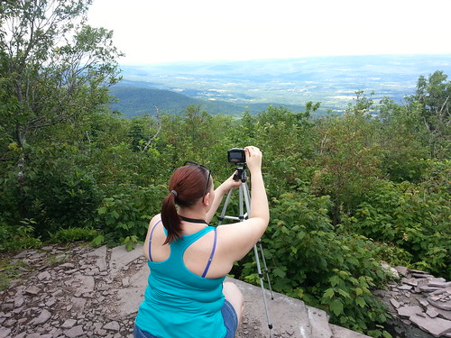
Cathy capturing the views
light sunset sky sun newyork mountains grass clouds canon landscape availablelight 85mm 12l coxsackie canonllenses llenses canon6d
The Sun Goes Down
mountain ny catskills catskillmountains eastdurhamny
Catskill Mountains, NY
creek tenmilecreek greenecounty oakhillny nature landscape
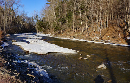
Ten Mile Creek
Creek on trail of Black Dome
animal animals beetle bug bugs color colorful depthoffield dof flower flowers insect insects macro seasons spring nikond800 105mmf28 landscapeorientation photo photography
From one to the next
house grass parents fast growing parentshouse andyarthur
Grass Growing Fast
mountain mount trail northern ginseng escarpment zoar andyarthur northescarpment
Mount Ginseng and Zoar Mountain
mountain evergreen blackhead range andyarthur
Evergreen Mountain
sunset catskillmountains
Sunset in the Catskills
burntknob andyarthur blackheadandblackdomemountains
Blackhead and Black Dome Mountains
autumn fall hiking foliage catskills leafpeeping peakfoliage blackheadmountain blackheadmountains clubgo windhamblackheadrangewilderness
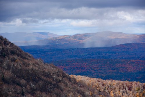
Snow in the Black Dome Valley
greenville newyork ny upstateny winter red snow berries tree bush color landscape nature canon70d canon70200f4l intimatelandscape
A White Christmas
catskill newyork unitedstates us 5dsr availablelight canon blue llenses landscape water woods wideangle sky sun sunrise 1740l gps geotag mountains manfrotto hudsonvalley hoyacpl hoyand8 upstateny
Winter Is Almost Over
roundtop newyork unitedstates us
Between BlackHead and Black Dome Mt