Elevation of Sunny Acres Ln, St Croix Falls, WI, USA
Location: United States > Wisconsin > Polk County > Sterling >
Longitude: -92.7240361
Latitude: 45.5642439
Elevation: 264m / 866feet
Barometric Pressure: 0KPa
Related Photos:
Delphinium carolinianum - "Carolina Larkspur, Prairie Larkspur"
View of today's event
A View from the Tree Stand
View from the stand
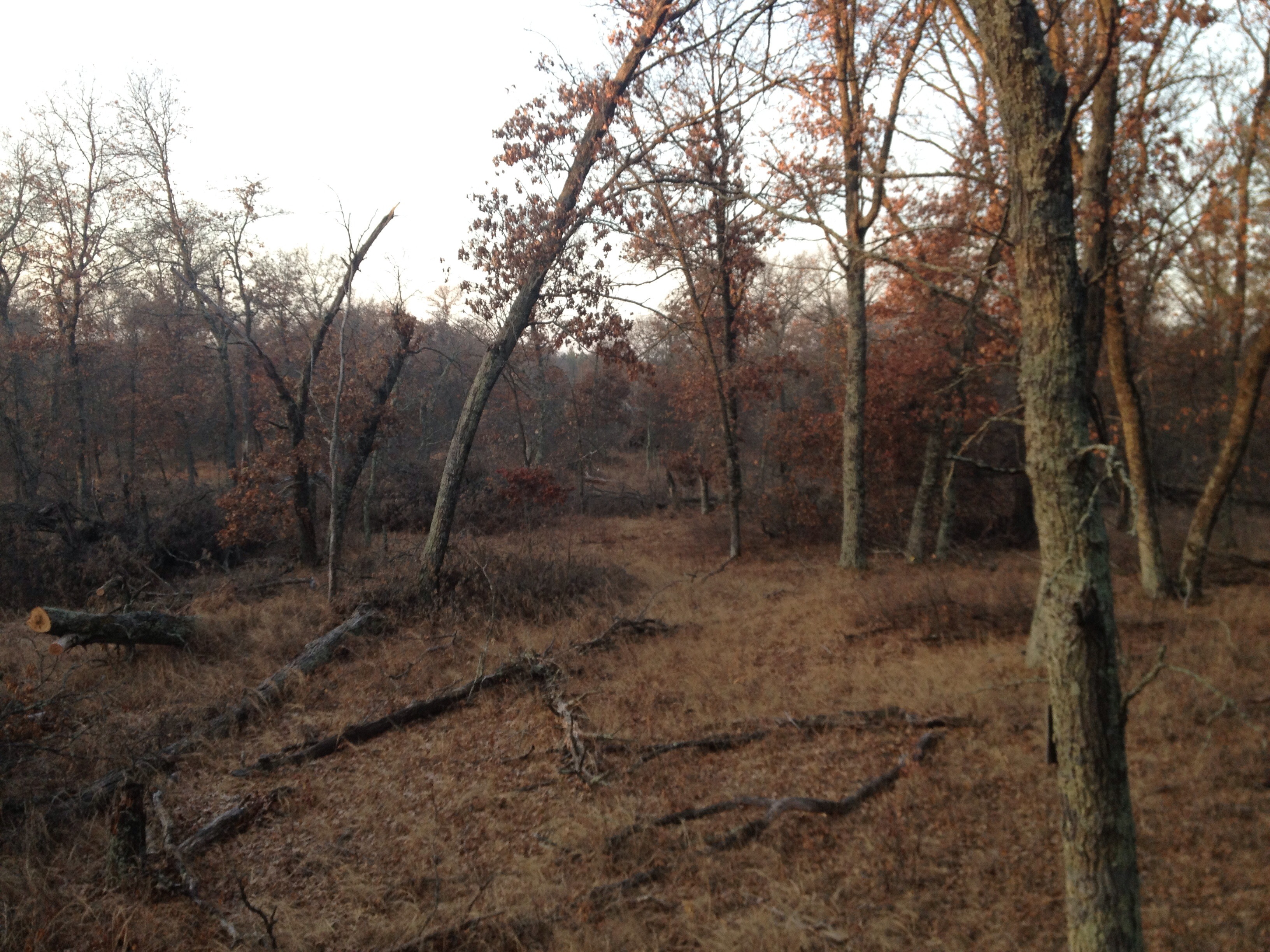
View From the stand
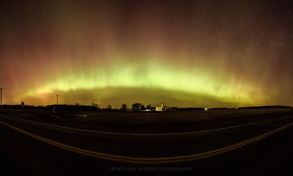
Aurora Horizons

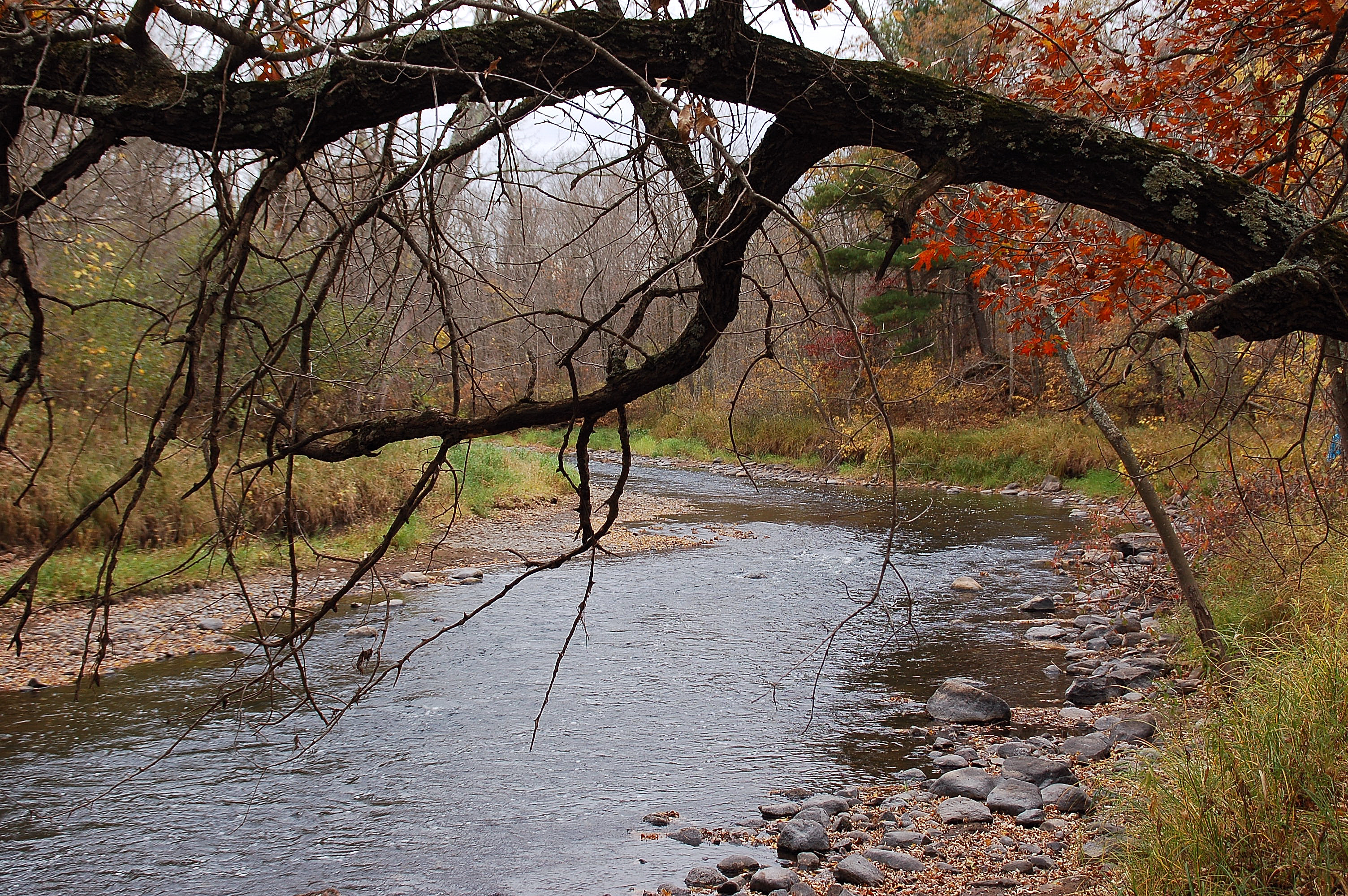
A Fall Day on the Sunrise River
Little Oak on the Prairie

:: autumn walk ::
Fall in Wisconsin
Sun River
Sunrise River
Creepy Woods

Perfect day for a hike...
Thin Ice
Sunrise River

Shades of Brown

Beckoning road
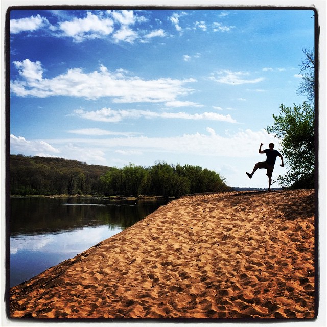
Some weirdo on the beach...
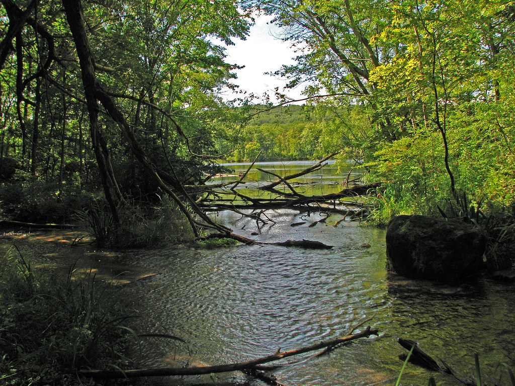
Feeder Stream to the St. Croix River

Wild River State Park
shafer Mn. (39)
Fish Lake State Wildlife Area

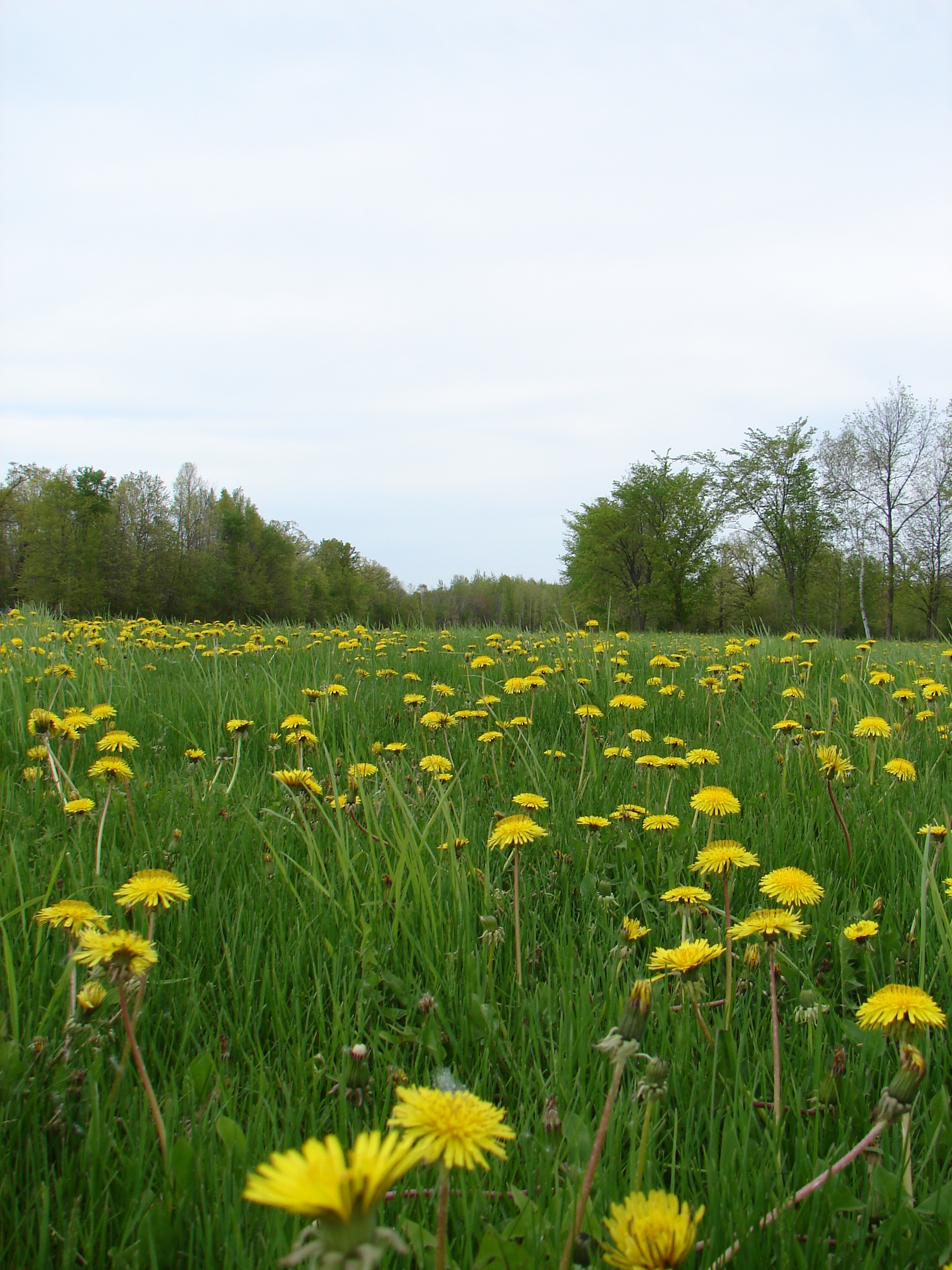
Fish Lake Meadow State Natural Area
Topographic Map of Sunny Acres Ln, St Croix Falls, WI, USA
Find elevation by address:

Places near Sunny Acres Ln, St Croix Falls, WI, USA:
Cushing
Kasie Denucci Photography
Sterling
Saint Croix River
1515 240th St
Saint Croix Falls
230 S Washington St
14212 Fish Lake Rd
Summer St, Shafer, MN, USA
2212 Glacier Dr
Quail Rd, Shafer, MN, USA
Grantsburg
Osceola
Chieftain St, Osceola, WI, USA
Depot Road
25665 Quail Ridge
Osceola
25599 Olinda Trail
2165 84th Ave
Deer Lake
Recent Searches:
- Elevation of Sullivan Hill, New York, New York, 10002, USA
- Elevation of Morehead Road, Withrow Downs, Charlotte, Mecklenburg County, North Carolina, 28262, USA
- Elevation of 2800, Morehead Road, Withrow Downs, Charlotte, Mecklenburg County, North Carolina, 28262, USA
- Elevation of Yangbi Yi Autonomous County, Yunnan, China
- Elevation of Pingpo, Yangbi Yi Autonomous County, Yunnan, China
- Elevation of Mount Malong, Pingpo, Yangbi Yi Autonomous County, Yunnan, China
- Elevation map of Yongping County, Yunnan, China
- Elevation of North 8th Street, Palatka, Putnam County, Florida, 32177, USA
- Elevation of 107, Big Apple Road, East Palatka, Putnam County, Florida, 32131, USA
- Elevation of Jiezi, Chongzhou City, Sichuan, China
- Elevation of Chongzhou City, Sichuan, China
- Elevation of Huaiyuan, Chongzhou City, Sichuan, China
- Elevation of Qingxia, Chengdu, Sichuan, China
- Elevation of Corso Fratelli Cairoli, 35, Macerata MC, Italy
- Elevation of Tallevast Rd, Sarasota, FL, USA
- Elevation of 4th St E, Sonoma, CA, USA
- Elevation of Black Hollow Rd, Pennsdale, PA, USA
- Elevation of Oakland Ave, Williamsport, PA, USA
- Elevation of Pedrógão Grande, Portugal
- Elevation of Klee Dr, Martinsburg, WV, USA