Elevation of Sundial E4, Improvement District No. 12, AB T0E, Canada
Location: Canada > Alberta > Division No. 15 > Jasper >
Longitude: -117.58194
Latitude: 52.2233333
Elevation: 3004m / 9856feet
Barometric Pressure: 70KPa
Elevation Map:
Satellite Map:
Related Photos:
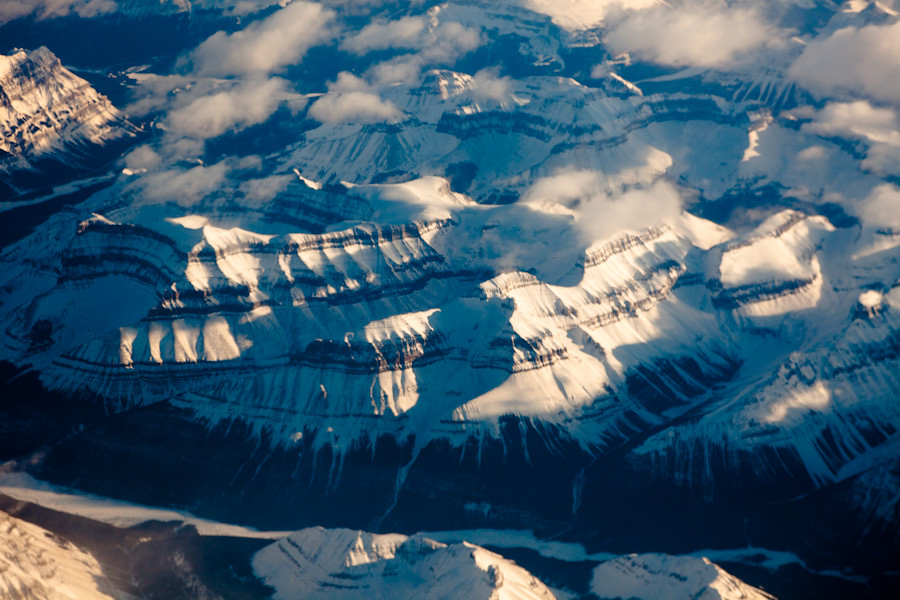
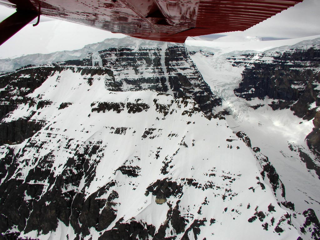
Aerial View of Canadian Rockies
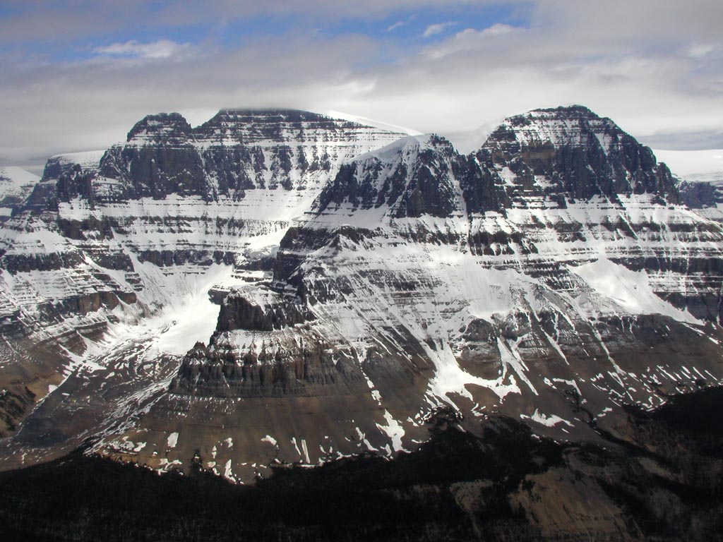
BH879 Stark Mountain
CO 1069-289-22
CO 1069-295-56

BH874 Turquoise Lake
BH873 Glacier Cresting Range
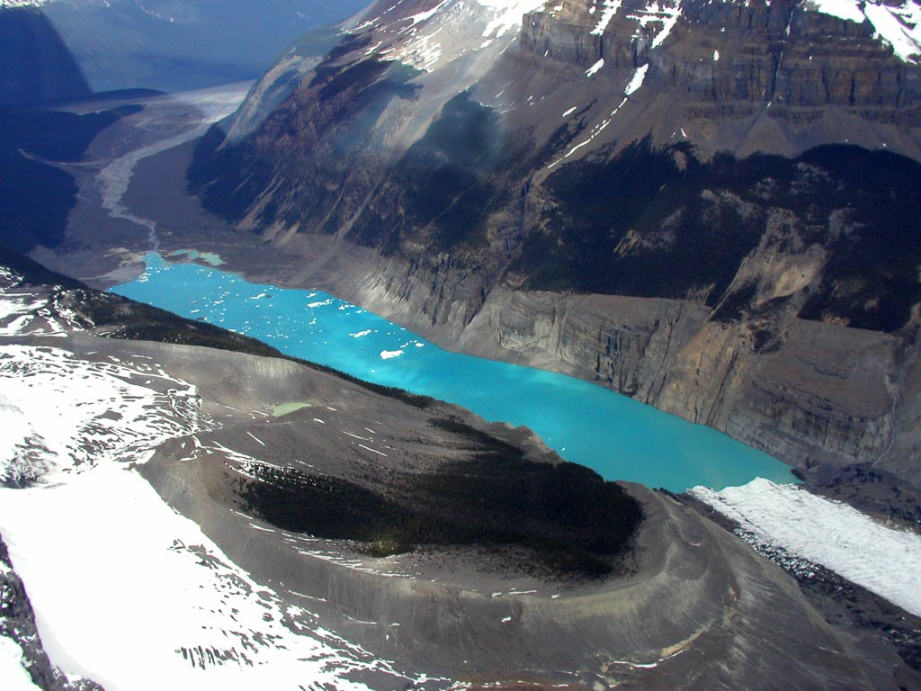
BH871 Glacial Lake
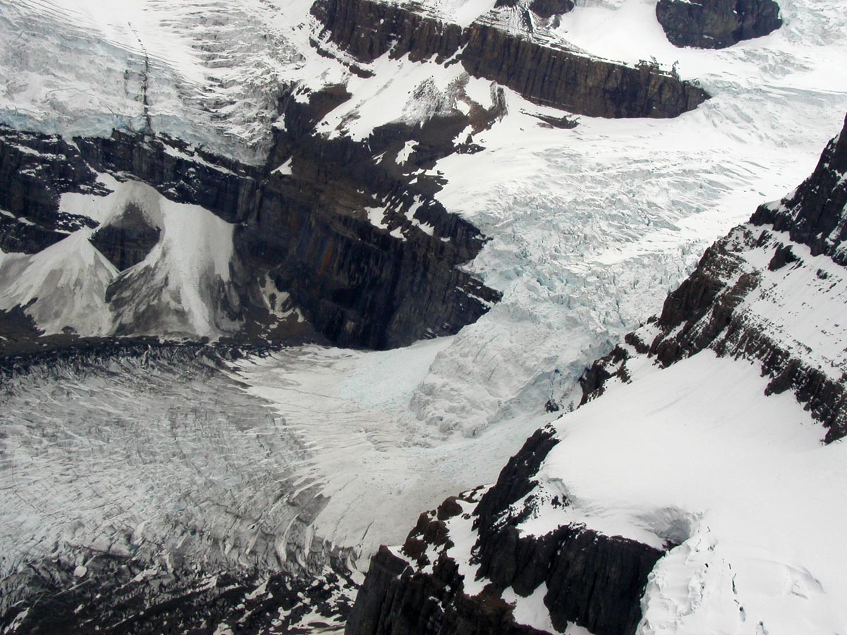
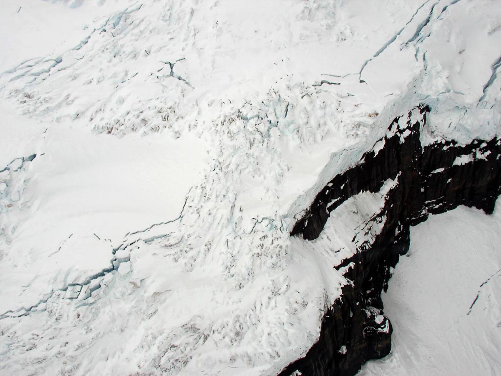
BH870 Glacier Detail
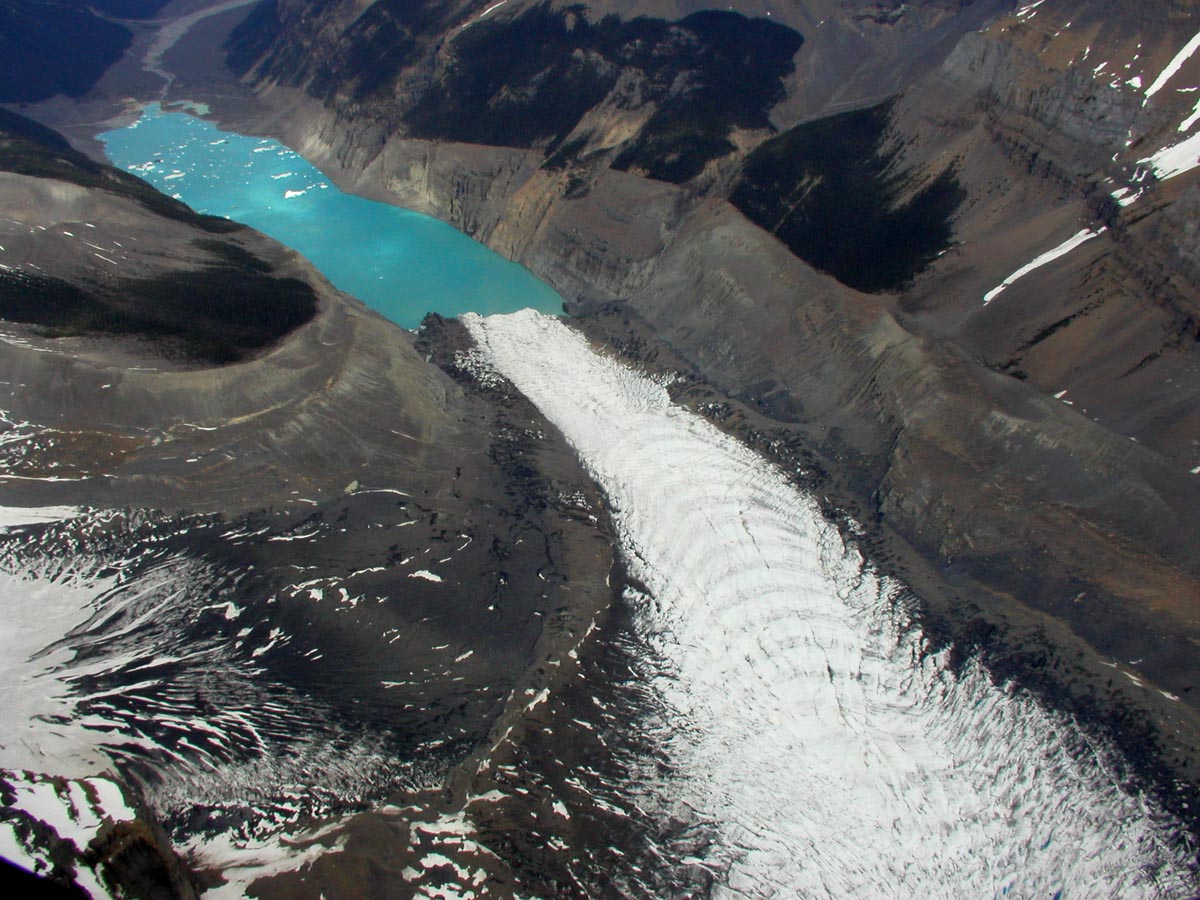
BH869 Glacier Calving
BH868 Glacier Detail
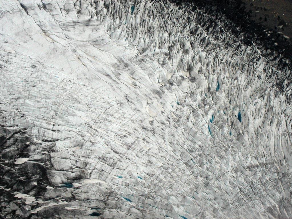
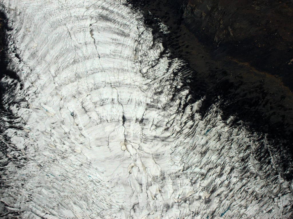
BH864 Cracking Snow
BH861 Snow Fall Zone
Topographic Map of Sundial E4, Improvement District No. 12, AB T0E, Canada
Find elevation by address:

Places near Sundial E4, Improvement District No. 12, AB T0E, Canada:
Warwick Mountain
Sundial Mountain
Toronto Peak
Mount Massey
Dais Mountain
Aqueduct Ne4
Omega Peak
Triad Peak
Blackfriars Peak
Palmer S2
Mount Alberta
Mount Palmer
Queen N5
Mount Quincy
Thorington Tower
Mount Columbia
Mount Smythe
Mount Gec
Stutfield Peak
King N1
Recent Searches:
- Elevation of Corso Fratelli Cairoli, 35, Macerata MC, Italy
- Elevation of Tallevast Rd, Sarasota, FL, USA
- Elevation of 4th St E, Sonoma, CA, USA
- Elevation of Black Hollow Rd, Pennsdale, PA, USA
- Elevation of Oakland Ave, Williamsport, PA, USA
- Elevation of Pedrógão Grande, Portugal
- Elevation of Klee Dr, Martinsburg, WV, USA
- Elevation of Via Roma, Pieranica CR, Italy
- Elevation of Tavkvetili Mountain, Georgia
- Elevation of Hartfords Bluff Cir, Mt Pleasant, SC, USA