Elevation of Sunanda, /A, Street Number 3, Nagalli Hills Colony, Dona Paula, Goa, India
Location: India > Goa > North Goa > Dona Paula > Nagalli Hills Colony >
Longitude: 73.8143573
Latitude: 15.4635763
Elevation: 43m / 141feet
Barometric Pressure: 0KPa
Related Photos:

Bastião nordeste #3.

Cortina ocidental.
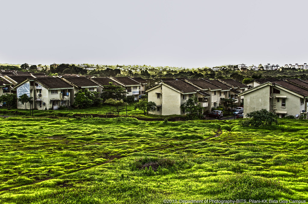
Beautiful BPGC
A view of the Divar church

Love the View ❤️
Cool guy got a cool #view. #house #lake #Goa

20121231-122630
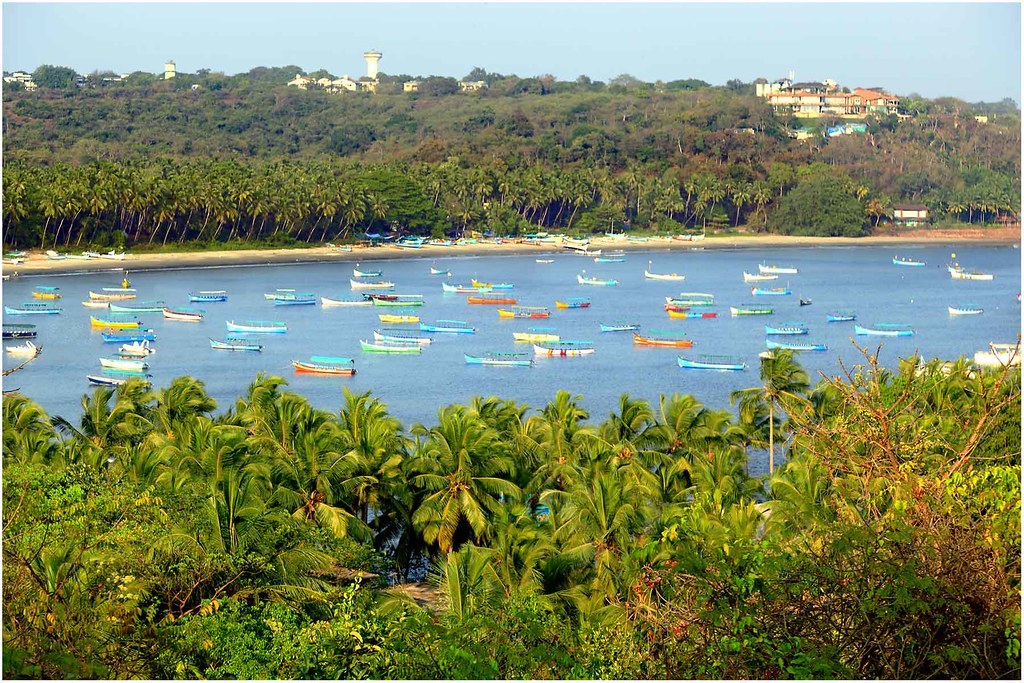
Panoramic View of Vasco Harbour MPT - GOA
20121231-123704
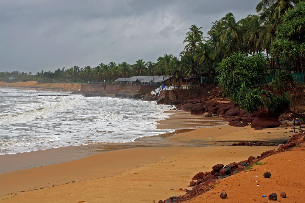
Coco Beach, Goa
BITS Pilani Goa
20121231-122906

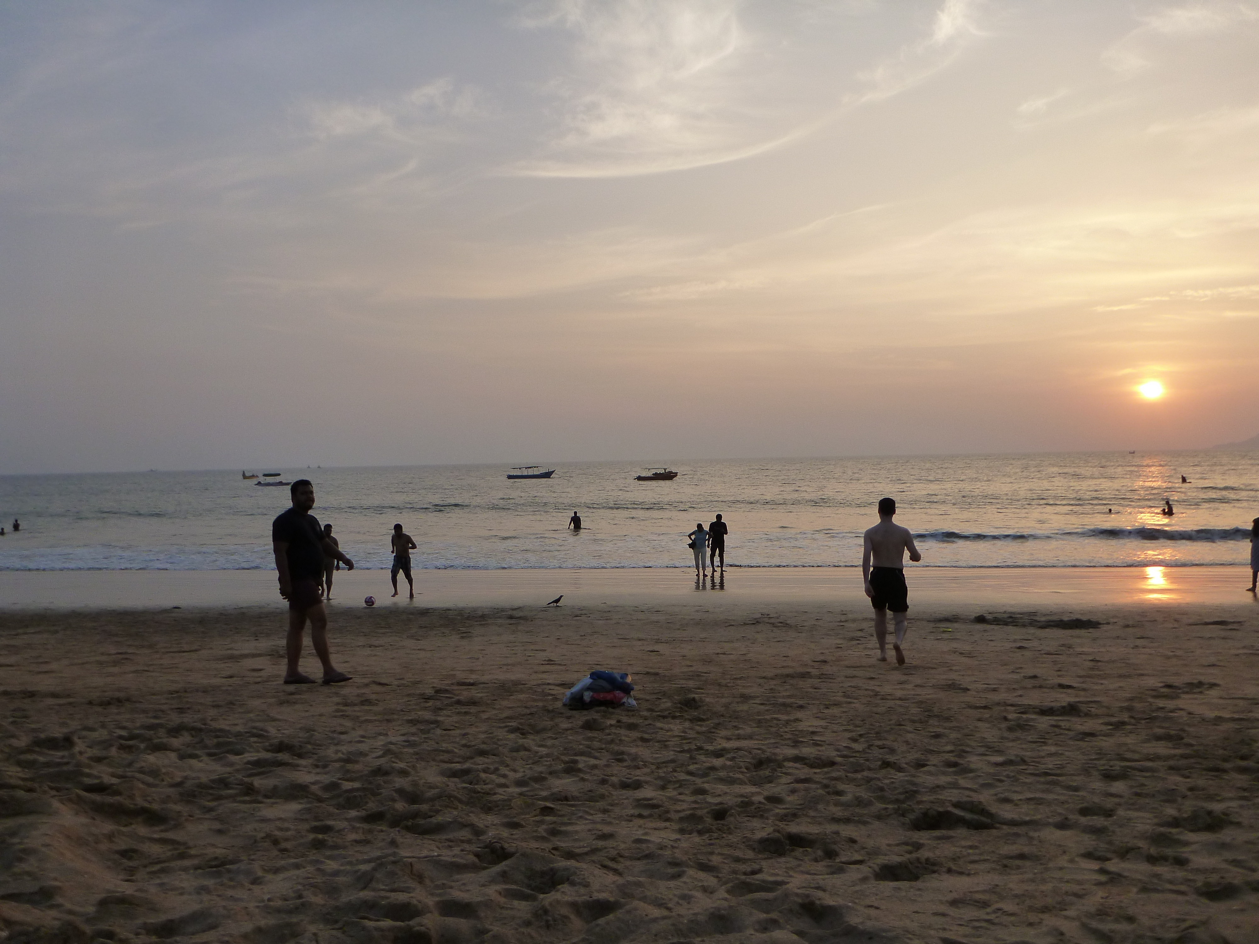
towards sleep

20121231-123057
20121231-122904
A view form Fort Aguada, at Goa
Just another view.
20121231-122914
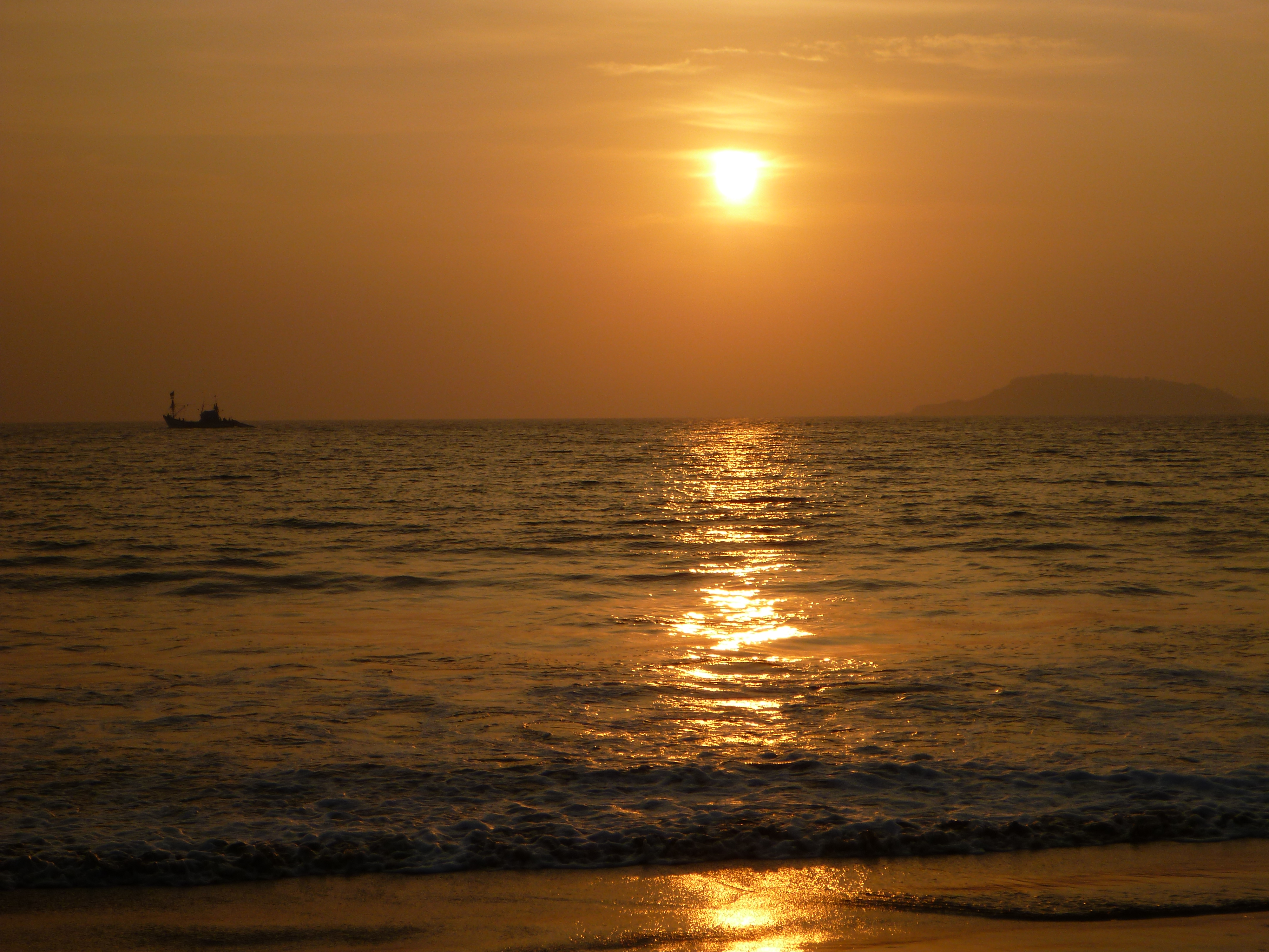
The Sinquerim beach, Goa, India
20121231-122926
20121231-124004
Topographic Map of Sunanda, /A, Street Number 3, Nagalli Hills Colony, Dona Paula, Goa, India
Find elevation by address:

Places near Sunanda, /A, Street Number 3, Nagalli Hills Colony, Dona Paula, Goa, India:
Nagalli Hills Colony
Dona Paula
Unnamed Road
Cortalim
Zeebop
Island View
Praia Da Oura Goa
Margao
Madgaon Junction
Melauli
Mobor Beach
Goa
Surla
South Goa
Kurandi
Old Magazine House
Ganeshgudi
Red Earth, Gokarna
Kamge
Gokarna
Recent Searches:
- Elevation map of Greenland, Greenland
- Elevation of Sullivan Hill, New York, New York, 10002, USA
- Elevation of Morehead Road, Withrow Downs, Charlotte, Mecklenburg County, North Carolina, 28262, USA
- Elevation of 2800, Morehead Road, Withrow Downs, Charlotte, Mecklenburg County, North Carolina, 28262, USA
- Elevation of Yangbi Yi Autonomous County, Yunnan, China
- Elevation of Pingpo, Yangbi Yi Autonomous County, Yunnan, China
- Elevation of Mount Malong, Pingpo, Yangbi Yi Autonomous County, Yunnan, China
- Elevation map of Yongping County, Yunnan, China
- Elevation of North 8th Street, Palatka, Putnam County, Florida, 32177, USA
- Elevation of 107, Big Apple Road, East Palatka, Putnam County, Florida, 32131, USA
- Elevation of Jiezi, Chongzhou City, Sichuan, China
- Elevation of Chongzhou City, Sichuan, China
- Elevation of Huaiyuan, Chongzhou City, Sichuan, China
- Elevation of Qingxia, Chengdu, Sichuan, China
- Elevation of Corso Fratelli Cairoli, 35, Macerata MC, Italy
- Elevation of Tallevast Rd, Sarasota, FL, USA
- Elevation of 4th St E, Sonoma, CA, USA
- Elevation of Black Hollow Rd, Pennsdale, PA, USA
- Elevation of Oakland Ave, Williamsport, PA, USA
- Elevation of Pedrógão Grande, Portugal