Elevation map of Sunan Yugur Autonomous County, Zhangye, Gansu, China
Location: China > Gansu > Zhangye >
Longitude: 99.615601
Latitude: 38.836931
Elevation: 2294m / 7526feet
Barometric Pressure: 77KPa
Elevation Map:
Satellite Map:
Related Photos:

Dahe River Valley

Dahe River Valley

Dahe River Valley

Zhangye Mati Temple

Mountain Pass to Kanglesi

Triburary leading to the Big River

Liyuan River Valley
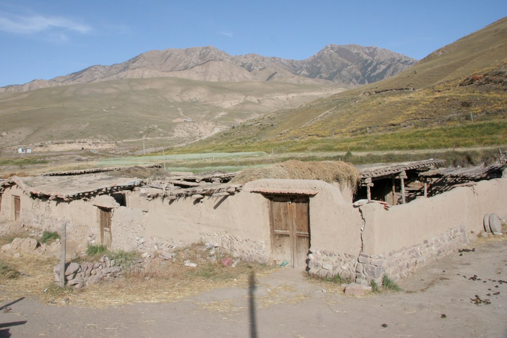
Village next to Kanglesi
Topographic Map of Sunan Yugur Autonomous County, Zhangye, Gansu, China
Find elevation by address:

Recent Searches:
- Elevation of Corso Fratelli Cairoli, 35, Macerata MC, Italy
- Elevation of Tallevast Rd, Sarasota, FL, USA
- Elevation of 4th St E, Sonoma, CA, USA
- Elevation of Black Hollow Rd, Pennsdale, PA, USA
- Elevation of Oakland Ave, Williamsport, PA, USA
- Elevation of Pedrógão Grande, Portugal
- Elevation of Klee Dr, Martinsburg, WV, USA
- Elevation of Via Roma, Pieranica CR, Italy
- Elevation of Tavkvetili Mountain, Georgia
- Elevation of Hartfords Bluff Cir, Mt Pleasant, SC, USA