Elevation of Summit Rd, Cassville, NY, USA
Location: United States > New York > Oneida County > Paris > Cassville >
Longitude: -75.254371
Latitude: 42.945979
Elevation: 379m / 1243feet
Barometric Pressure: 97KPa
Elevation Map:
Satellite Map:
Related Photos:

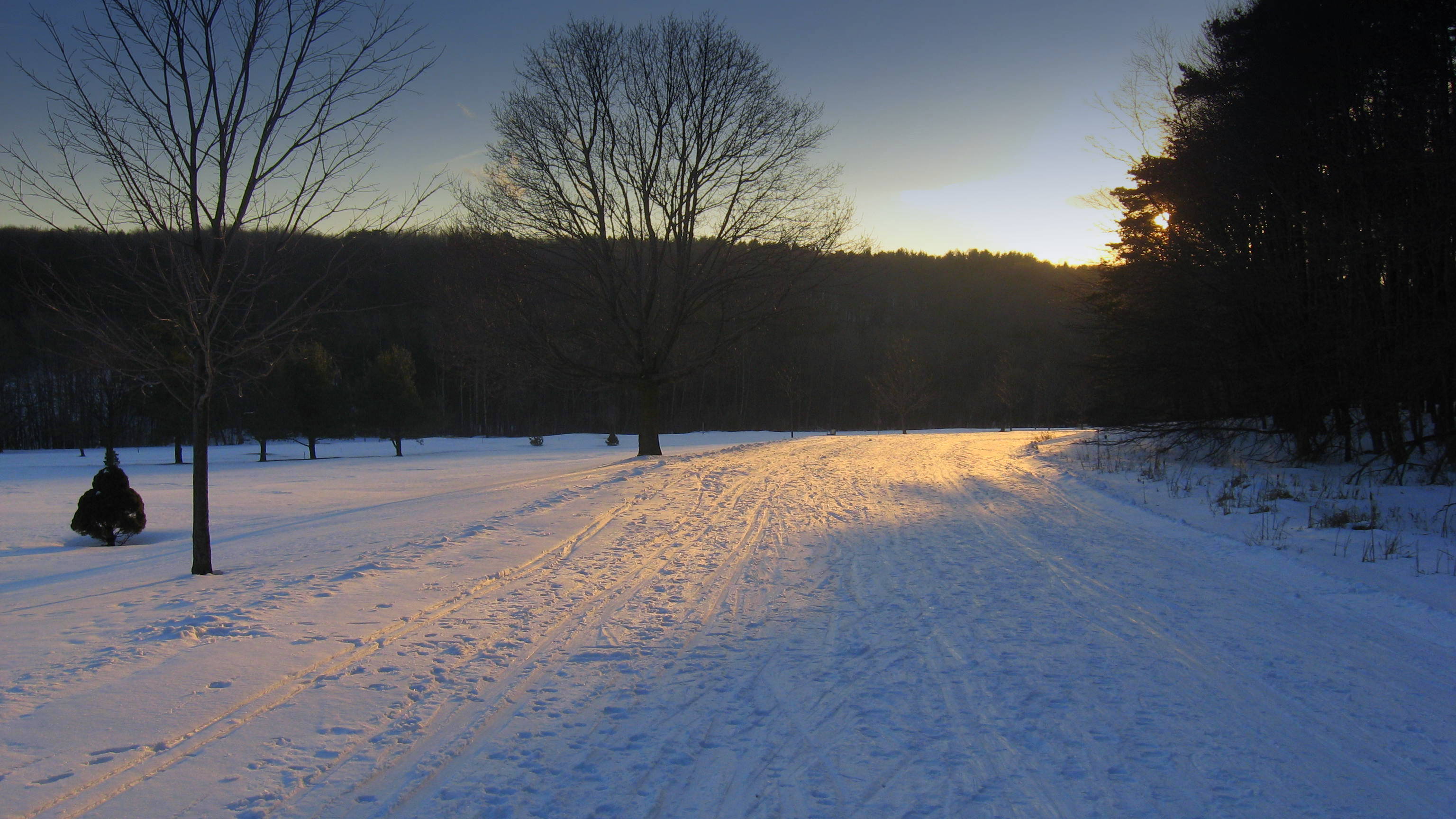
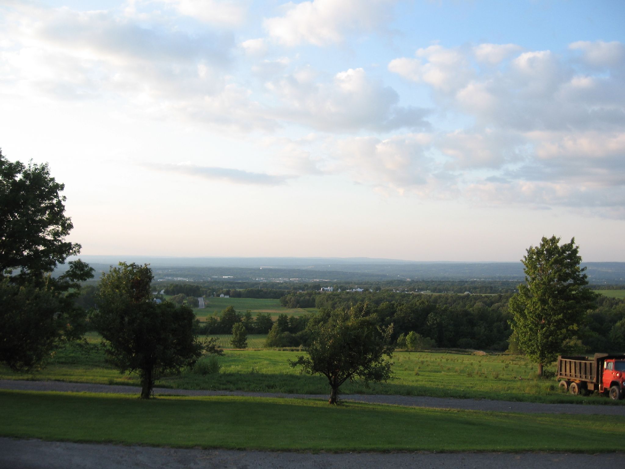
The View over Mohawk Valley- Late Winter 2012- !0 Sherman Circle
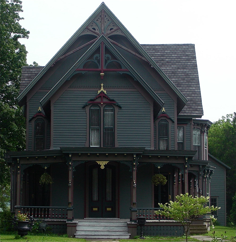
Queen Anne Victorian

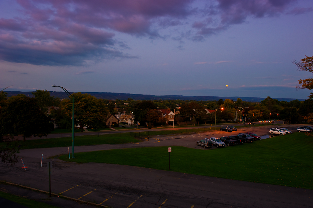
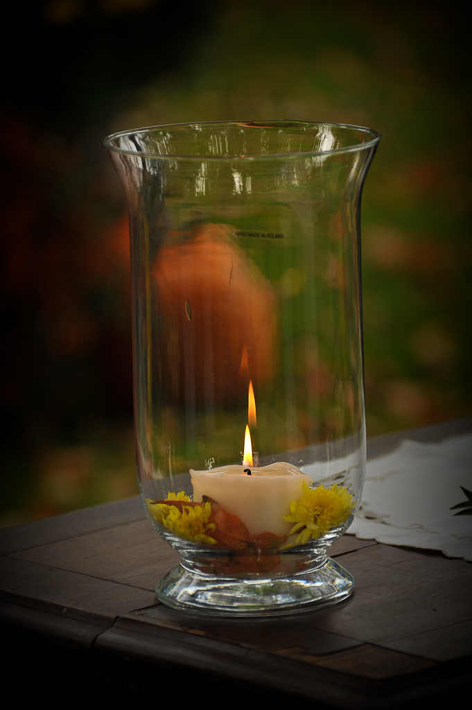
An Evening Show
2. View

Views in the cemetery

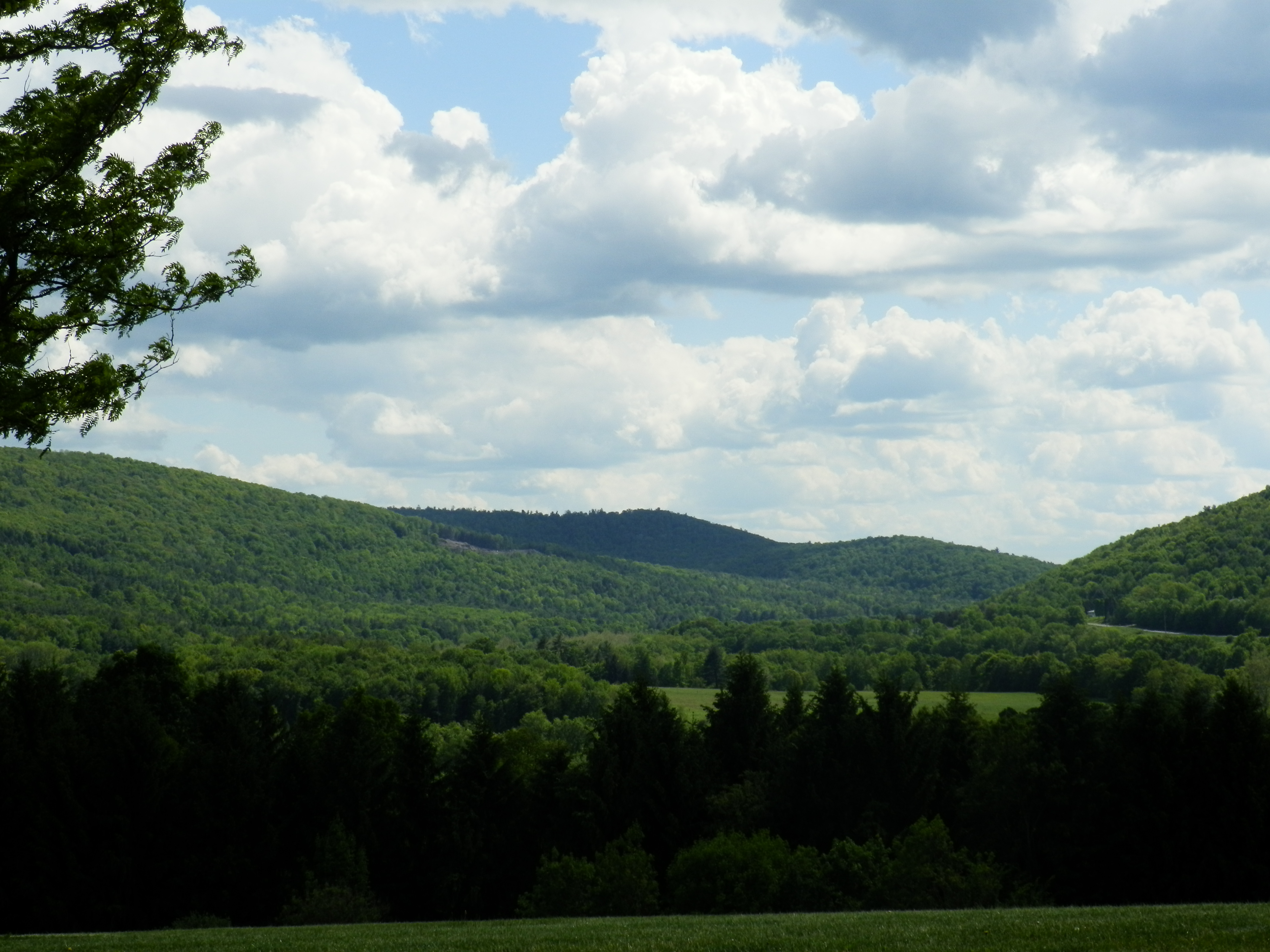
View over Valley from East Side
Forest Hill Cemetery, Utica, NY
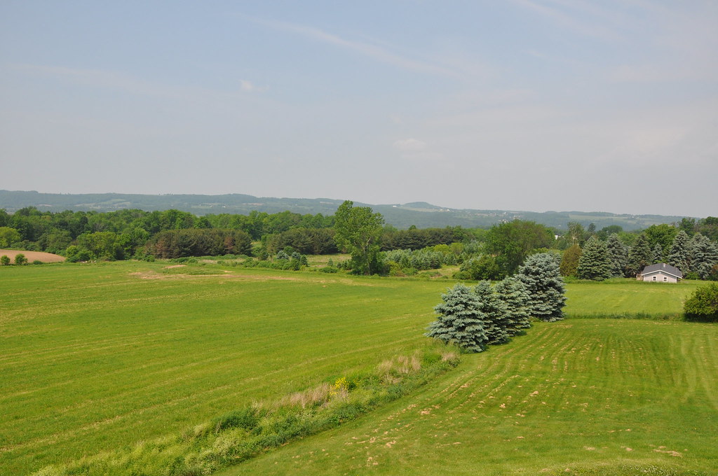
Valley Panoramic

gilman wedding-109

gilman wedding-59
gilman wedding-117
2009-0201-412a
West Shore/Third Rail ROW

gilman wedding-118

gilman wedding-45

gilman wedding-113

gilman wedding-84
2009-0201-401a
gilman wedding-92
View from Red Hill Road
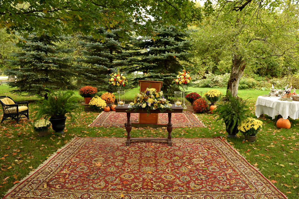
gilman wedding-42

What's on the other side?
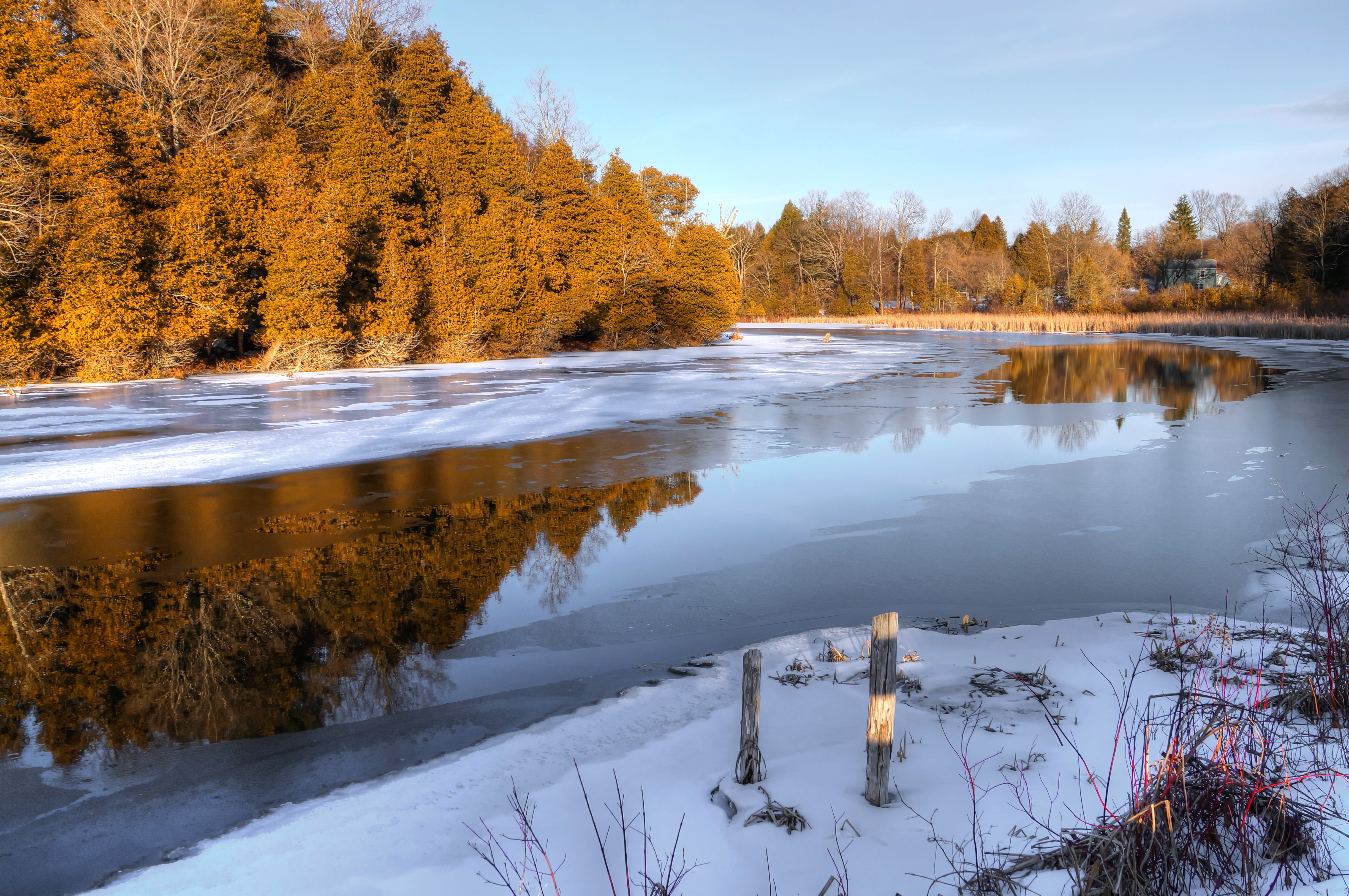
Chepatchet Pond
What's on the other side?
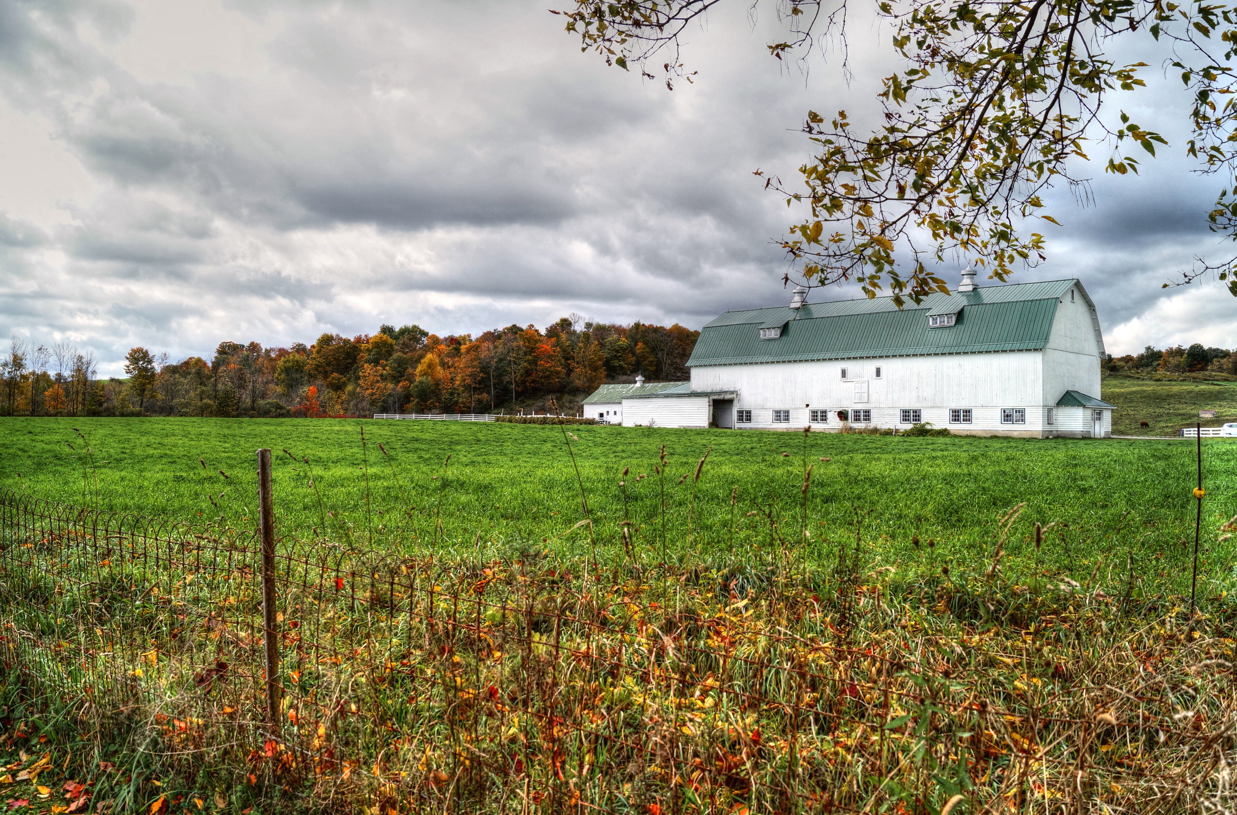
Cedarville Barn
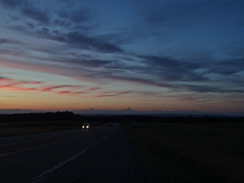
Driving after sunset.
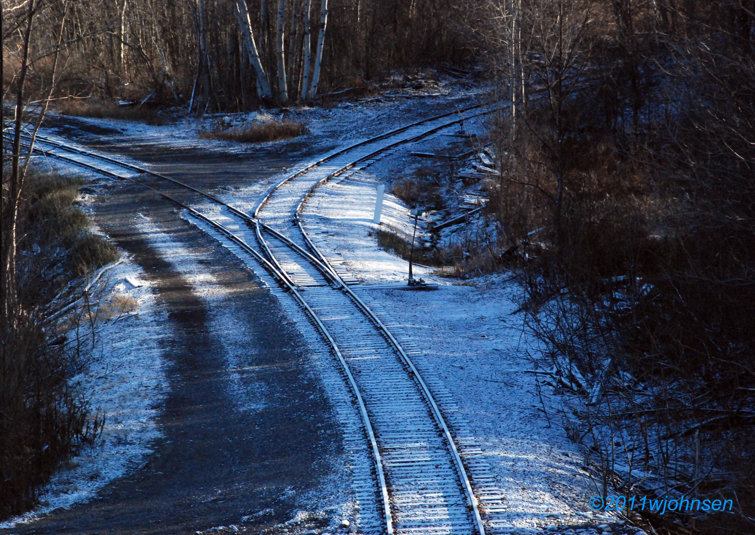
Cassville Wye
Desaturated Sky
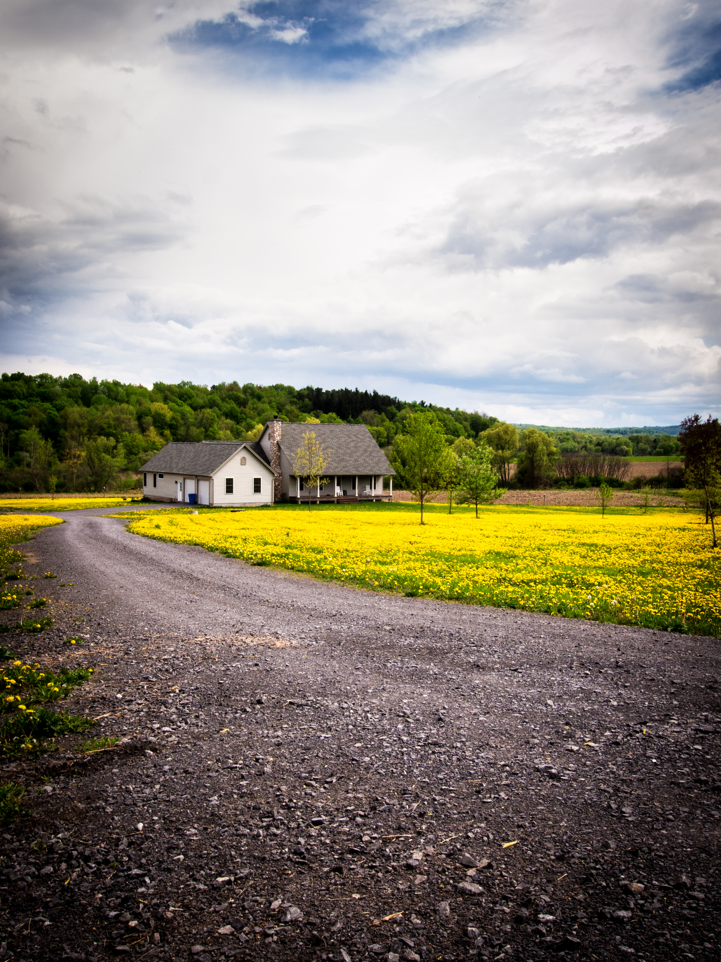
Dandelion Road

Tilden ave before Higby rd 4
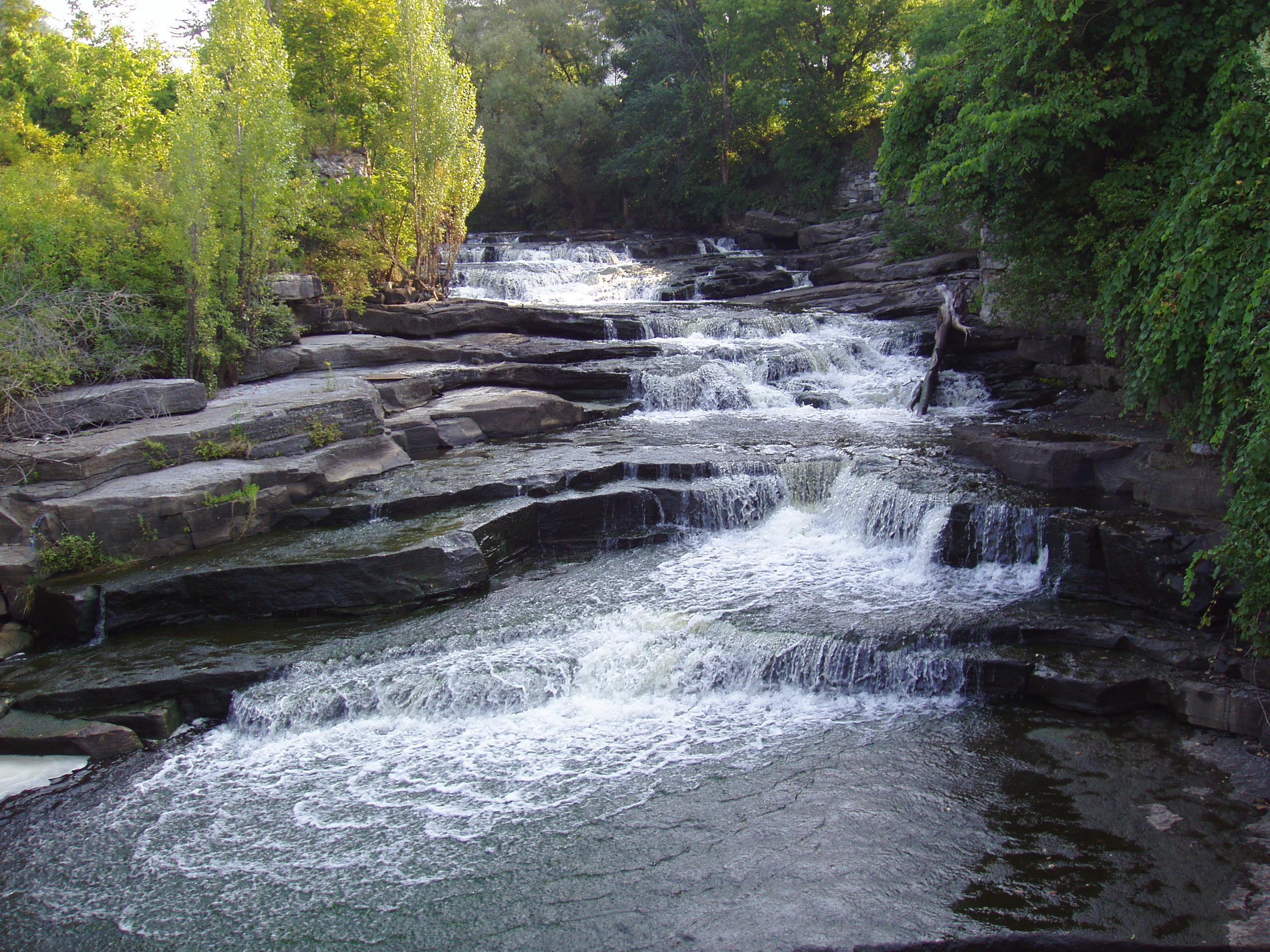
Upstate New York: little roadside waterfall
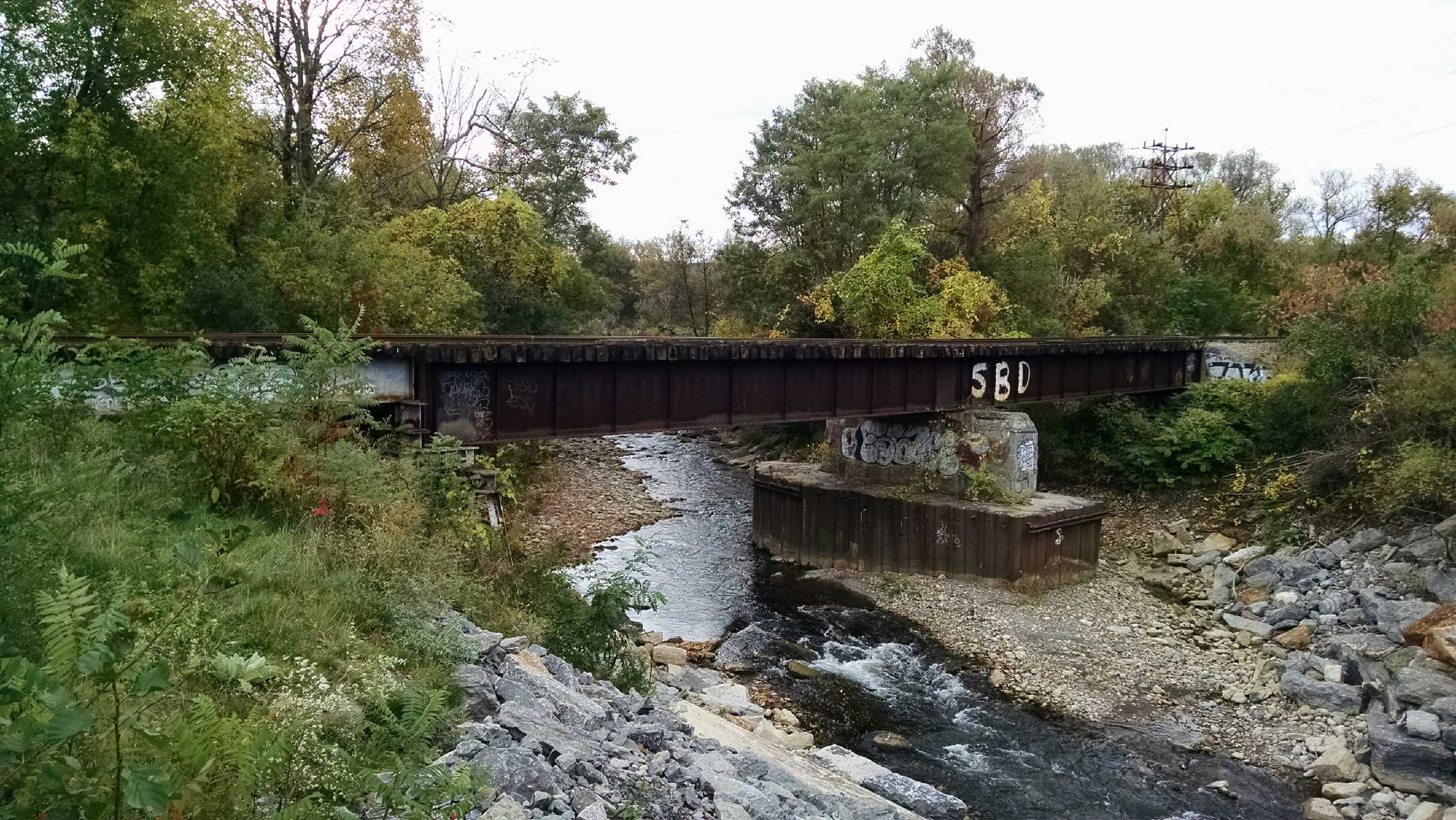
O & W Bridge, Utica Branch

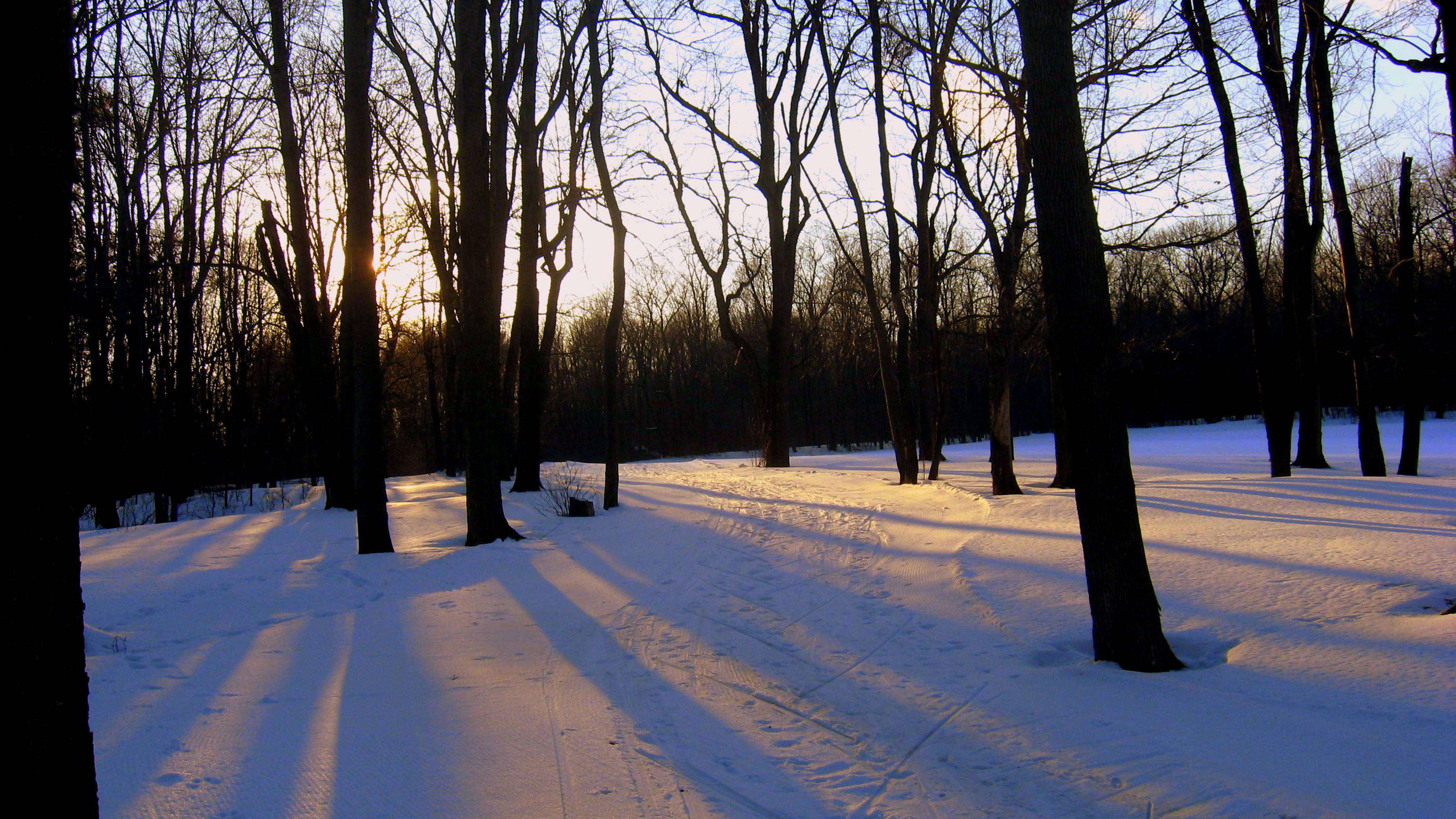
The last rays
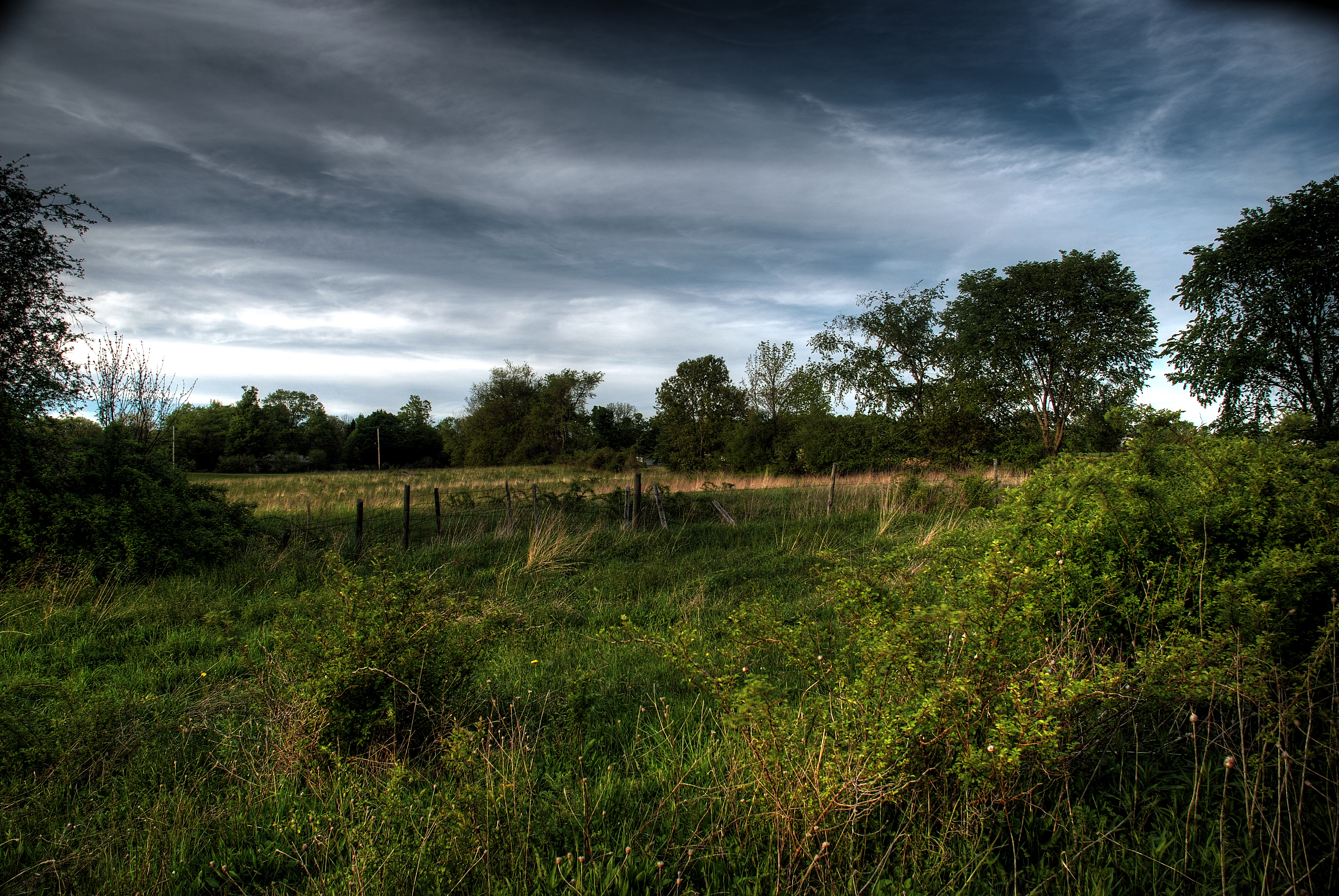
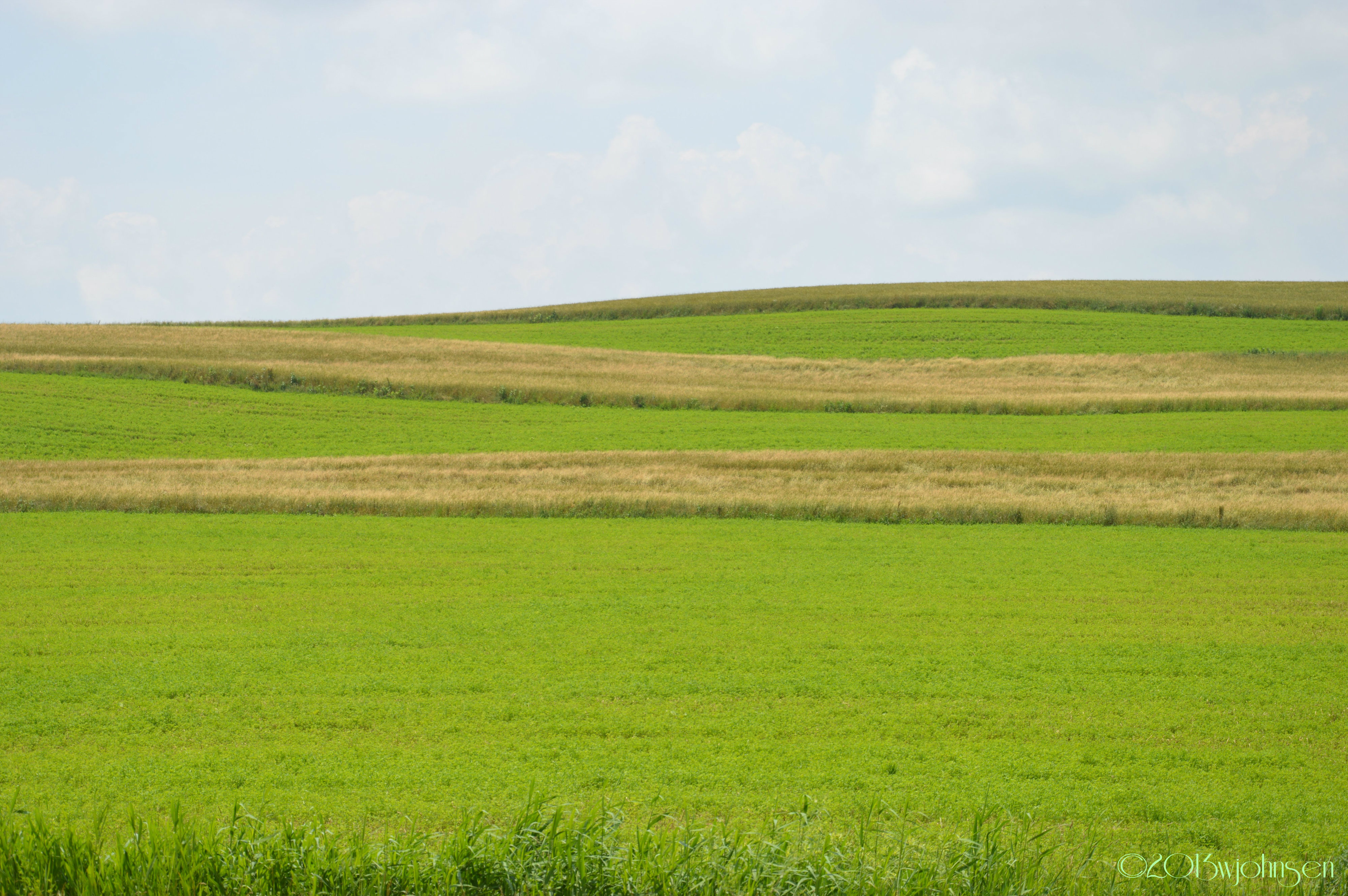
Field HDR
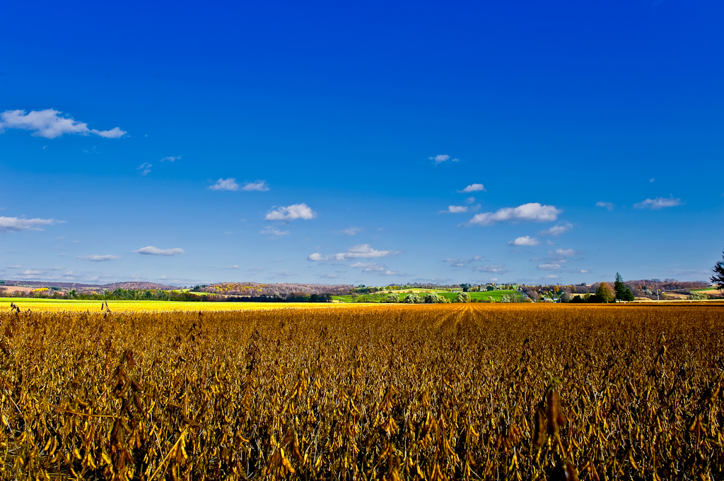
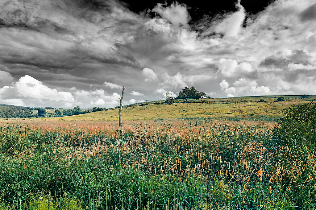
Field & Sky #1
Lallier-Walton Wedding-1
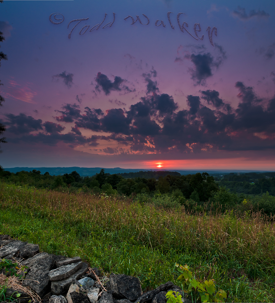
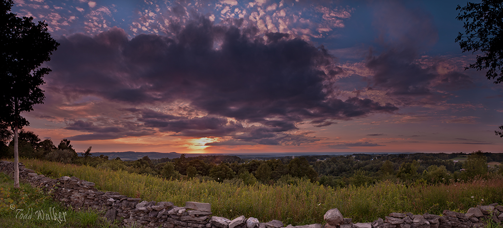
Sauquoit Valley Sunset

South Park dr next to MVCC 8

top of sky hill next to the Eagle
Topographic Map of Summit Rd, Cassville, NY, USA
Find elevation by address:

Places near Summit Rd, Cassville, NY, USA:
Cassville
1500 Ny-8
129 Larson Rd
Paris
Hardscrabble Road
2395 Main St
Clayville
Main St, Clayville, NY, USA
Bridgewater
Emerald Hill Drive
2483 Timian Rd
Sauquoit
Tassel Hill
8516 Canning Factory Rd
8828 Paris Hill Rd
Paris
3396 Oneida St
Chadwicks
New Hartford
Oneida St, New Hartford, NY, USA
Recent Searches:
- Elevation of Corso Fratelli Cairoli, 35, Macerata MC, Italy
- Elevation of Tallevast Rd, Sarasota, FL, USA
- Elevation of 4th St E, Sonoma, CA, USA
- Elevation of Black Hollow Rd, Pennsdale, PA, USA
- Elevation of Oakland Ave, Williamsport, PA, USA
- Elevation of Pedrógão Grande, Portugal
- Elevation of Klee Dr, Martinsburg, WV, USA
- Elevation of Via Roma, Pieranica CR, Italy
- Elevation of Tavkvetili Mountain, Georgia
- Elevation of Hartfords Bluff Cir, Mt Pleasant, SC, USA