Elevation of Summit, MS, USA
Location: United States > Mississippi > Pike County >
Longitude: -90.468431
Latitude: 31.2837867
Elevation: 132m / 433feet
Barometric Pressure: 100KPa
Elevation Map:
Satellite Map:
Related Photos:

Lake Tangipahoa Sunset
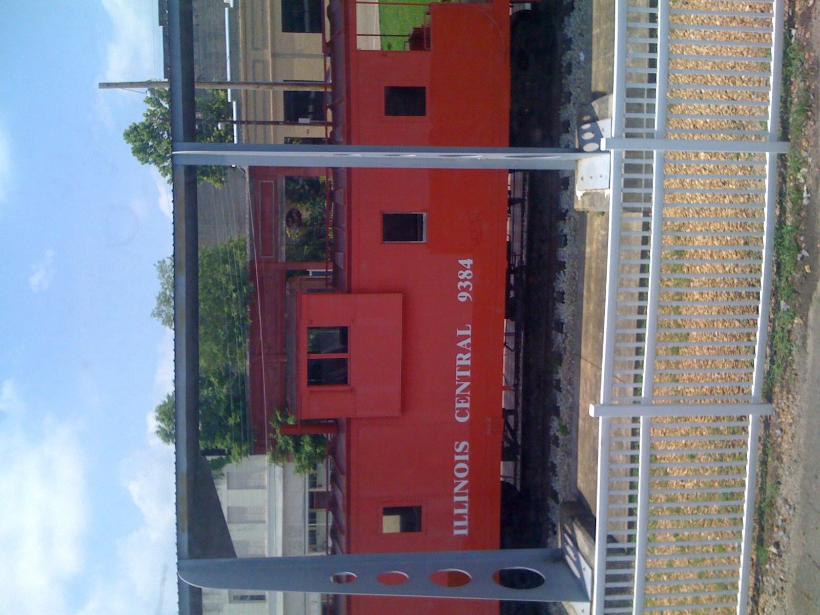
Illinois Central
RI038519.JPG

wardlaw road, site of the famed wardlaw mafia
Forgotten In Time sample
Wallpaper-367

Venting-001

Wallpaper-421

20080712-003
Sept26-2006-0011
Topographic Map of Summit, MS, USA
Find elevation by address:

Places in Summit, MS, USA:
Places near Summit, MS, USA:
1101 Apache Dr
1015 Apache Dr
101 Edgewood Dr
Mccomb
229 S Cherry St
1052 River Ridge Rd
1000 Boone Rd
1000 Hamilton St
1000 Hamilton St
2074 Magnolia Pisgah Rd
Boggs Road
Hawthorne Dr, McComb, MS, USA
1023 Chesterfield Dr
1023 Chesterfield Dr
1023 Chesterfield Dr
1023 Chesterfield Dr
1155 Adams Rd
Percy Quin Drive
1568 N Clark Ave
1550 N Clark Ave
Recent Searches:
- Elevation of Corso Fratelli Cairoli, 35, Macerata MC, Italy
- Elevation of Tallevast Rd, Sarasota, FL, USA
- Elevation of 4th St E, Sonoma, CA, USA
- Elevation of Black Hollow Rd, Pennsdale, PA, USA
- Elevation of Oakland Ave, Williamsport, PA, USA
- Elevation of Pedrógão Grande, Portugal
- Elevation of Klee Dr, Martinsburg, WV, USA
- Elevation of Via Roma, Pieranica CR, Italy
- Elevation of Tavkvetili Mountain, Georgia
- Elevation of Hartfords Bluff Cir, Mt Pleasant, SC, USA