Elevation of Summer Rain Dr, Hendersonville, NC, USA
Location: United States > North Carolina > Henderson County > Horse Shoe >
Longitude: -82.540673
Latitude: 35.3327695
Elevation: 660m / 2165feet
Barometric Pressure: 94KPa
Elevation Map:
Satellite Map:
Related Photos:

hbw... happy butterfly wednesday my friends!

sunset 3-26-20

Island in the Fog

sunset 8-16-2017

Hendersonville Bears 13 - Into The Wild

Orange Peppers

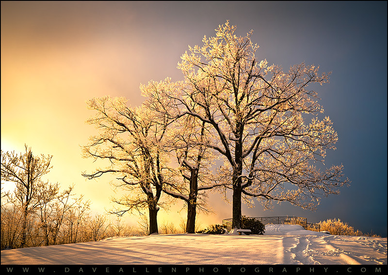
Early December Sunset

Jeter Mountain Fog

Logs and Hay

Hay Bale II

Green Peace...
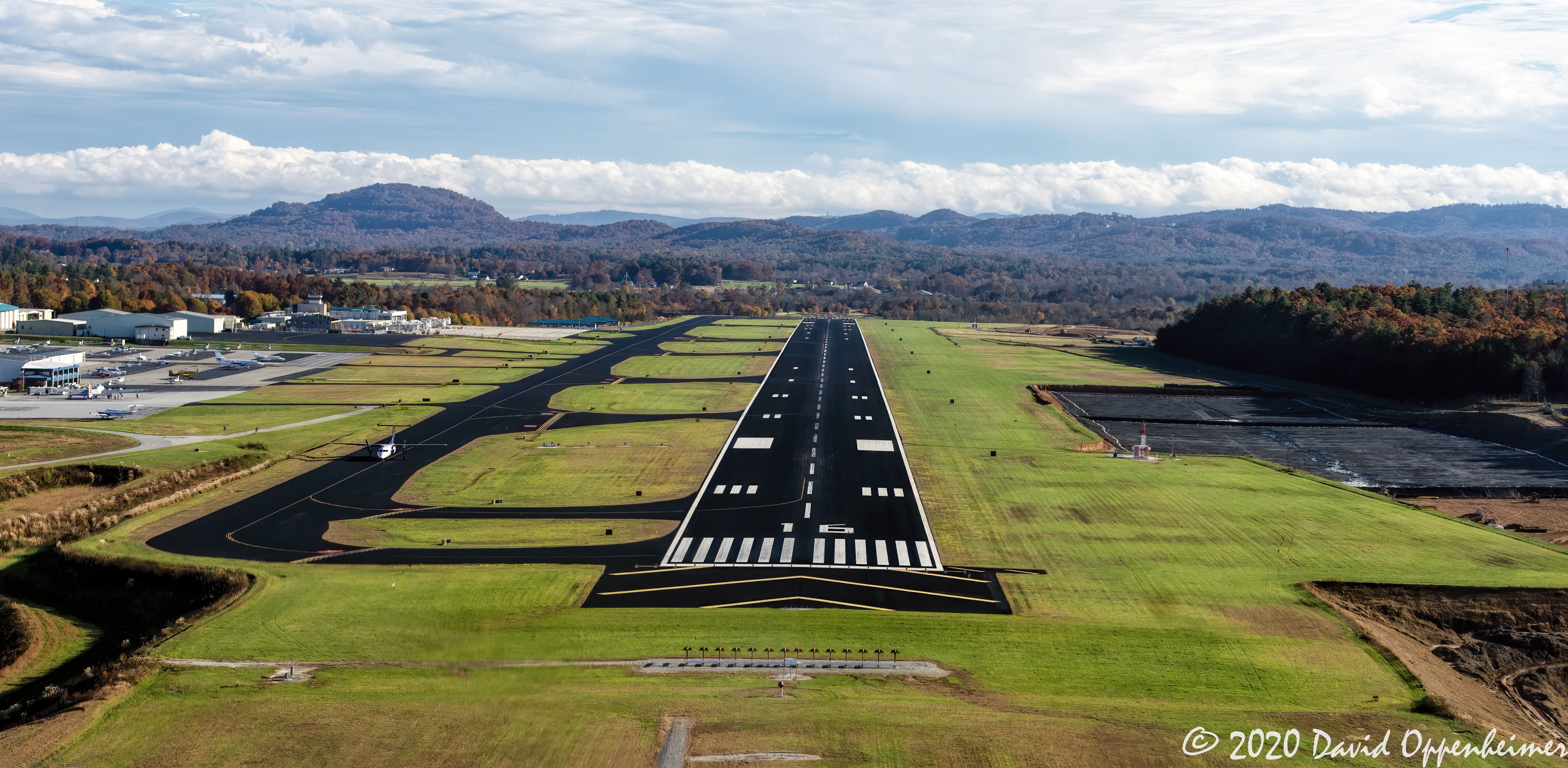
Asheville Regional Airport Runway 16 Landing Approach Aerial View

Welcome to Asheville NC - Blue Ridge Mountains Sunset

Looking Glass

Triple Falls

private parts

Golden Cascade on Little River

Flat Rock Village Hall

PV McCain Traffic Lights

Sugarloaf Elementary School, Hendersonville, NC

PV McCain Traffic Lights

Asheville, North Carolina

8-6-19 Sunset

Rhododendron confluence

Sun Beam
The Guarded Way

Friday night lights

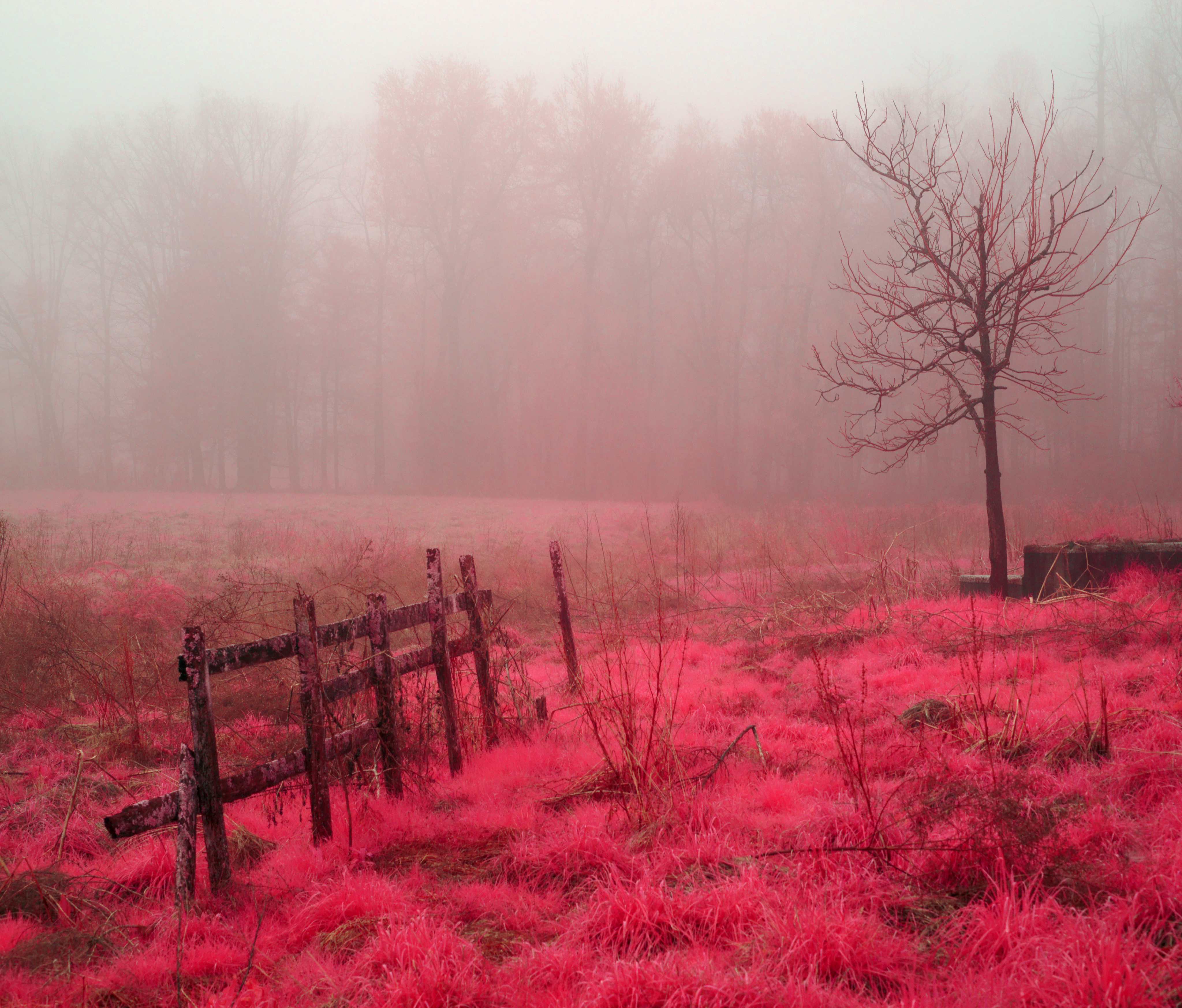
Mountain Magenta

Key Falls Cascade

The Park At Flat Rock (Flat Rock, North Carolina)

Seven Falls (Etowah, North Carolina)

The Carl Sandburg National Historic Site
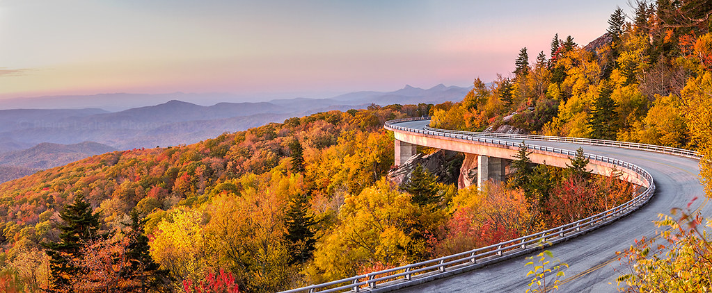
Dawn on the Blue Ridge Parkway

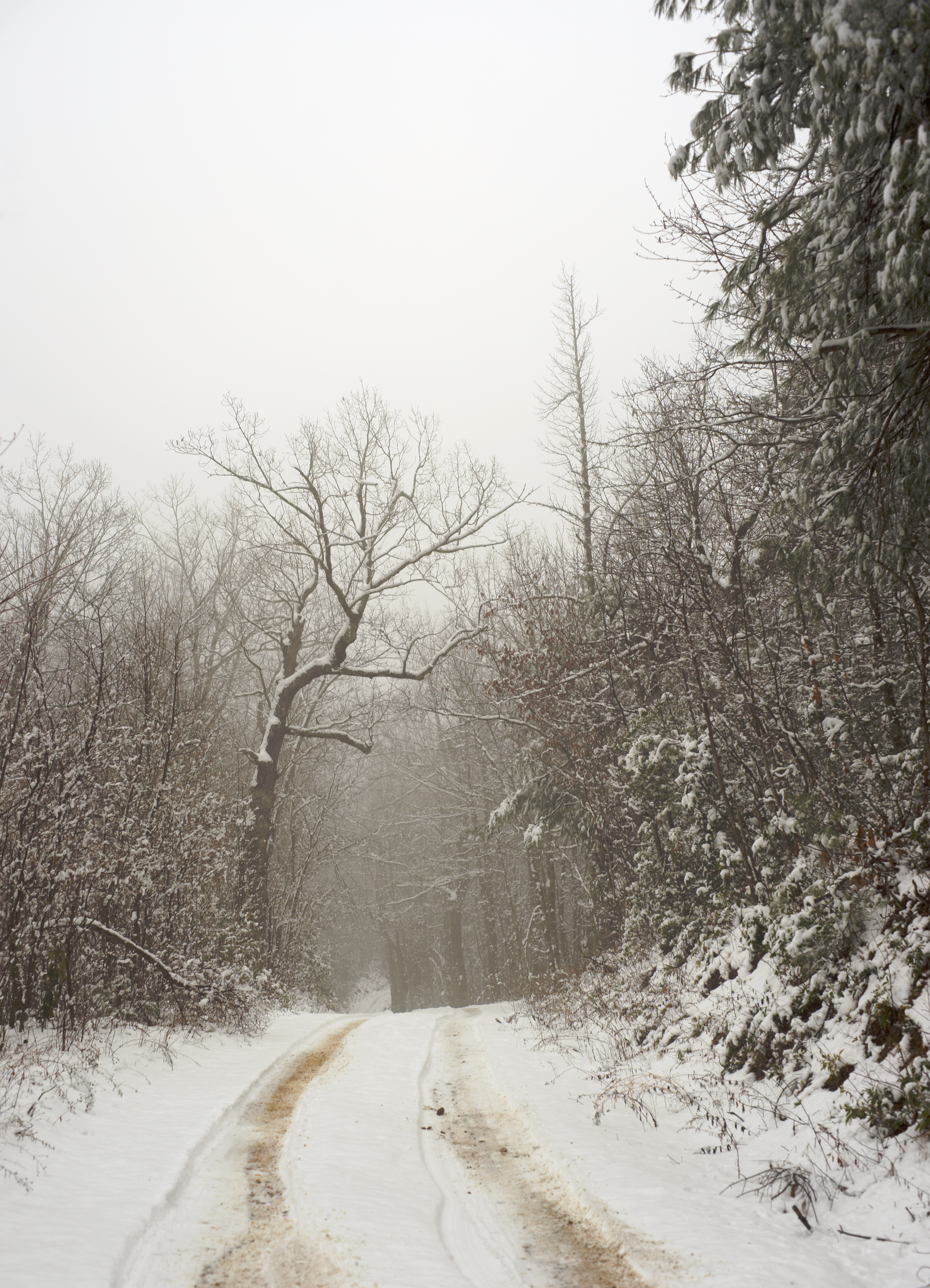
Road to Nowhere

Field of Zinnias Under a Very Cloudy Sky
Jump Off Rock Hendersonville NC in Amazing Light - Luminous

Hendersonville Reservoir Dam (Pisgah National Forest)
Shag Rug Faceoff

Seven Falls (Etowah, North Carolina)

Key Falls
Topographic Map of Summer Rain Dr, Hendersonville, NC, USA
Find elevation by address:

Places near Summer Rain Dr, Hendersonville, NC, USA:
296 Summer Rain Dr
Surrey Glen Circle
Downing Court
Davenport Mountain
Derby Lane
437 Hunters Glen Ln
433 Hunters Glen Ln
3659 Brevard Rd
Kindling Trail
118 Larchmont Dr
128 Larchmont Dr
529 Maren Ct
398 Battle Creek Rd
Horse Shoe
412 Haywood Knolls Dr
167 Summer Pl Ln
651 Sunrise Dr
404 Haywood Knolls Dr
302 Haywood Knolls Dr
525 Starmount Ln
Recent Searches:
- Elevation of Corso Fratelli Cairoli, 35, Macerata MC, Italy
- Elevation of Tallevast Rd, Sarasota, FL, USA
- Elevation of 4th St E, Sonoma, CA, USA
- Elevation of Black Hollow Rd, Pennsdale, PA, USA
- Elevation of Oakland Ave, Williamsport, PA, USA
- Elevation of Pedrógão Grande, Portugal
- Elevation of Klee Dr, Martinsburg, WV, USA
- Elevation of Via Roma, Pieranica CR, Italy
- Elevation of Tavkvetili Mountain, Georgia
- Elevation of Hartfords Bluff Cir, Mt Pleasant, SC, USA