Elevation of Summer Cir, Clyde, NC, USA
Location: United States > North Carolina > Haywood County > Clyde > Clyde >
Longitude: -82.862973
Latitude: 35.5747641
Elevation: 980m / 3215feet
Barometric Pressure: 90KPa
Elevation Map:
Satellite Map:
Related Photos:

Max Patch, Ecclesiastes 3:11

Max Patch, Romans 1:20
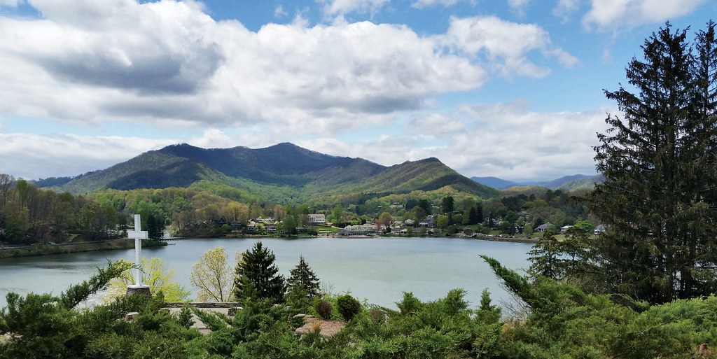
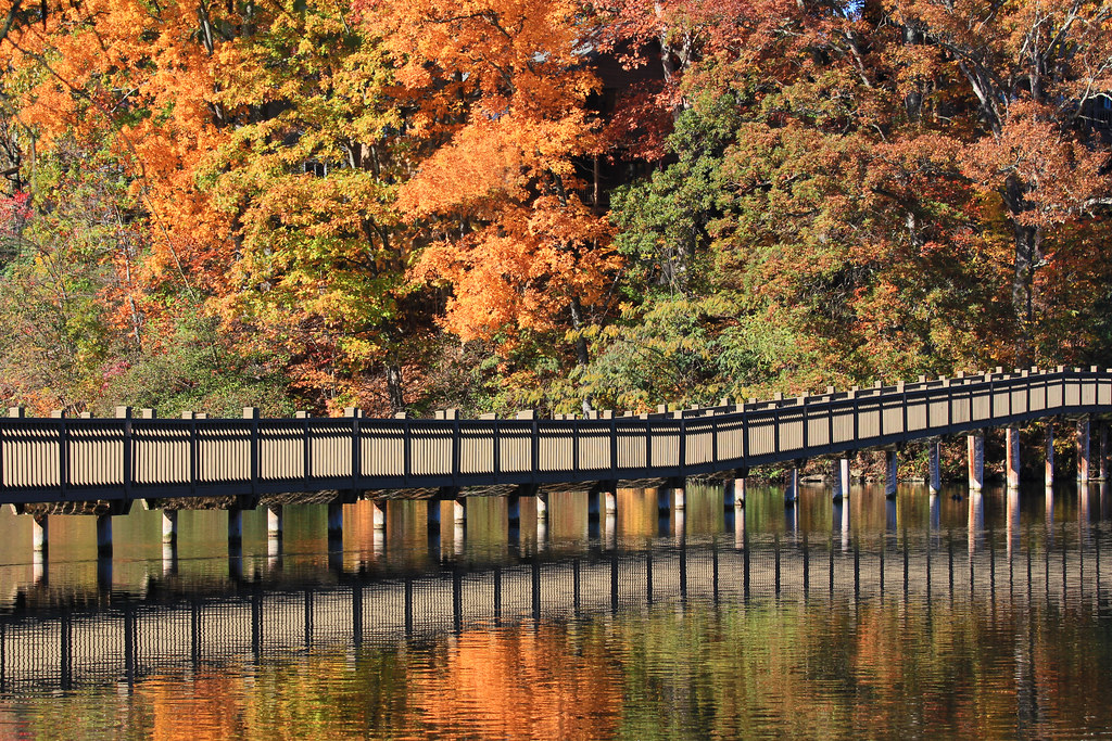
Lake Junaluska, NC

2018 10-18 1240-6 BLU SD40-2-4201 E/B T-31, Canton, NC

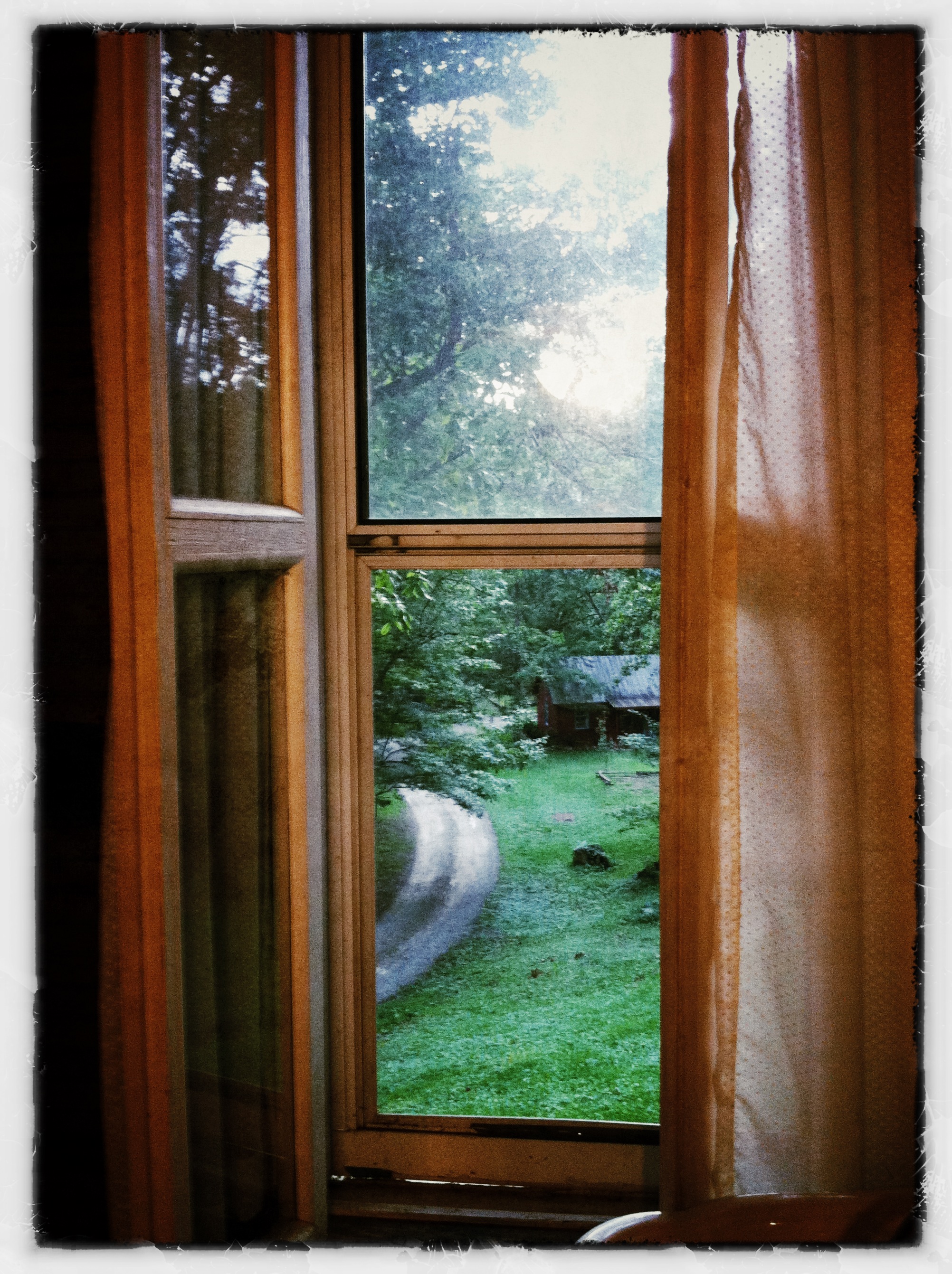
Downstairs view this morning
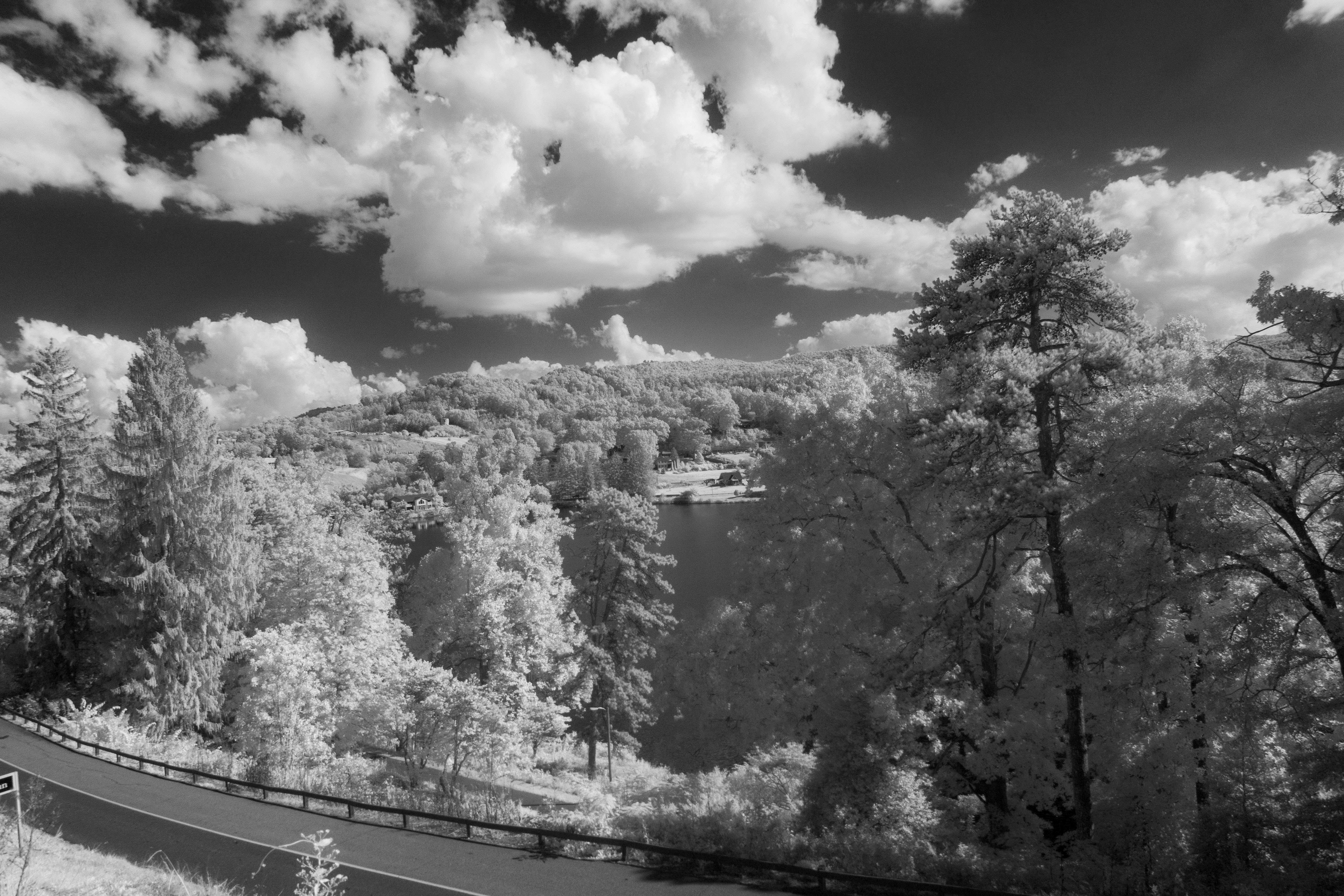
View of Lake from Hotel

Pixies Pocket Sister Health Honey™
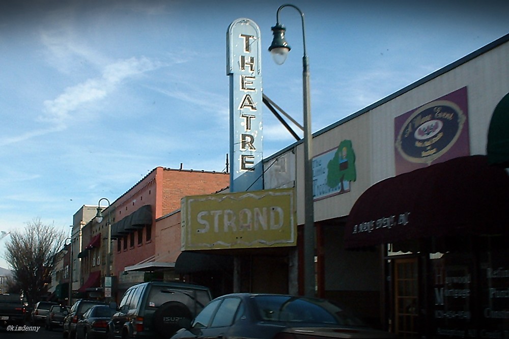
Strand Theatre, Waynesville, NC

An EXTRAORDINARY View!

The view from our bedroom in Asheville

Max Patch, Isaiah 40:22
Liberty Orientation
milehigh #blueridgeparkway rear view. It actually...
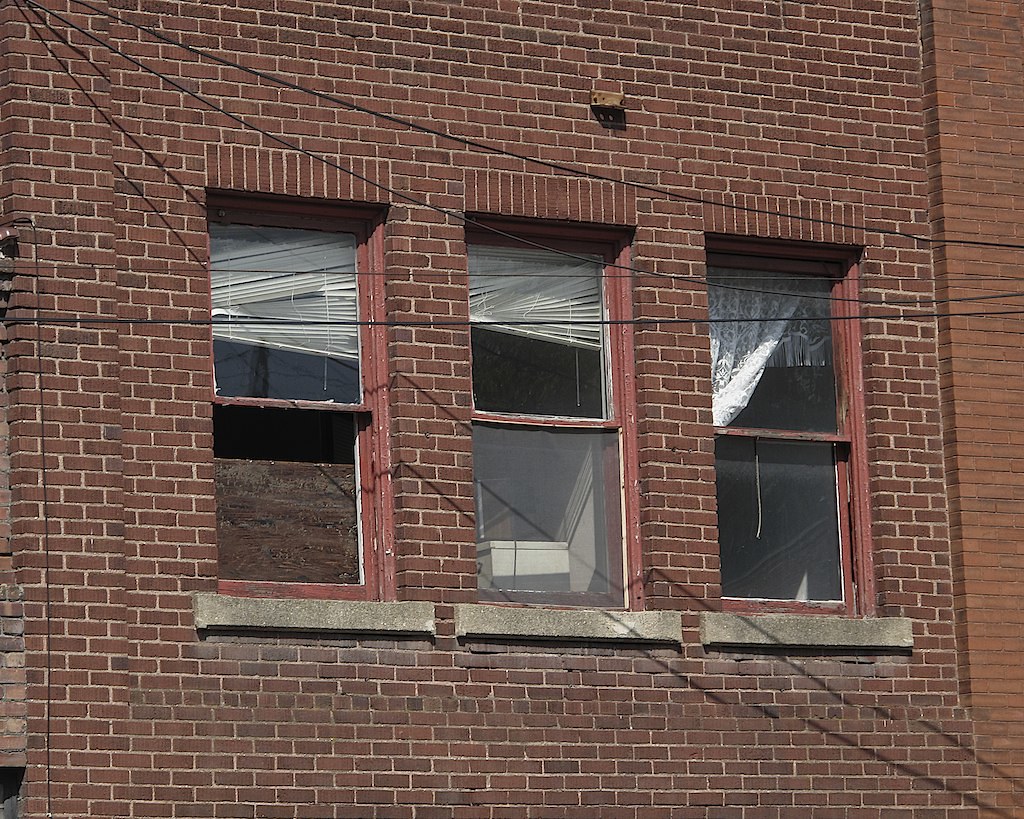
THREE WINDOWS ON MAIN ST
Another gorgeous Carolina day

Francis Mill (Inside View)
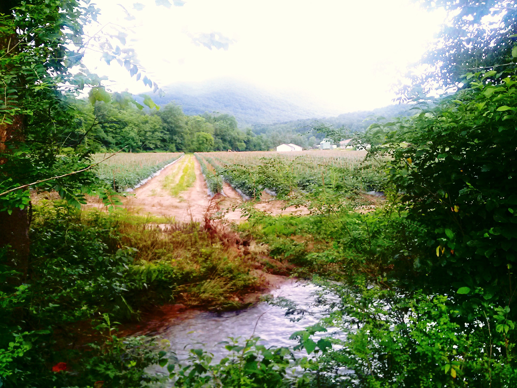
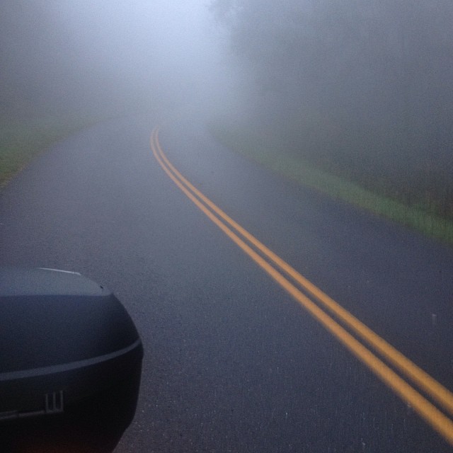
country road
The view from Crabtree Mountain at sunset.
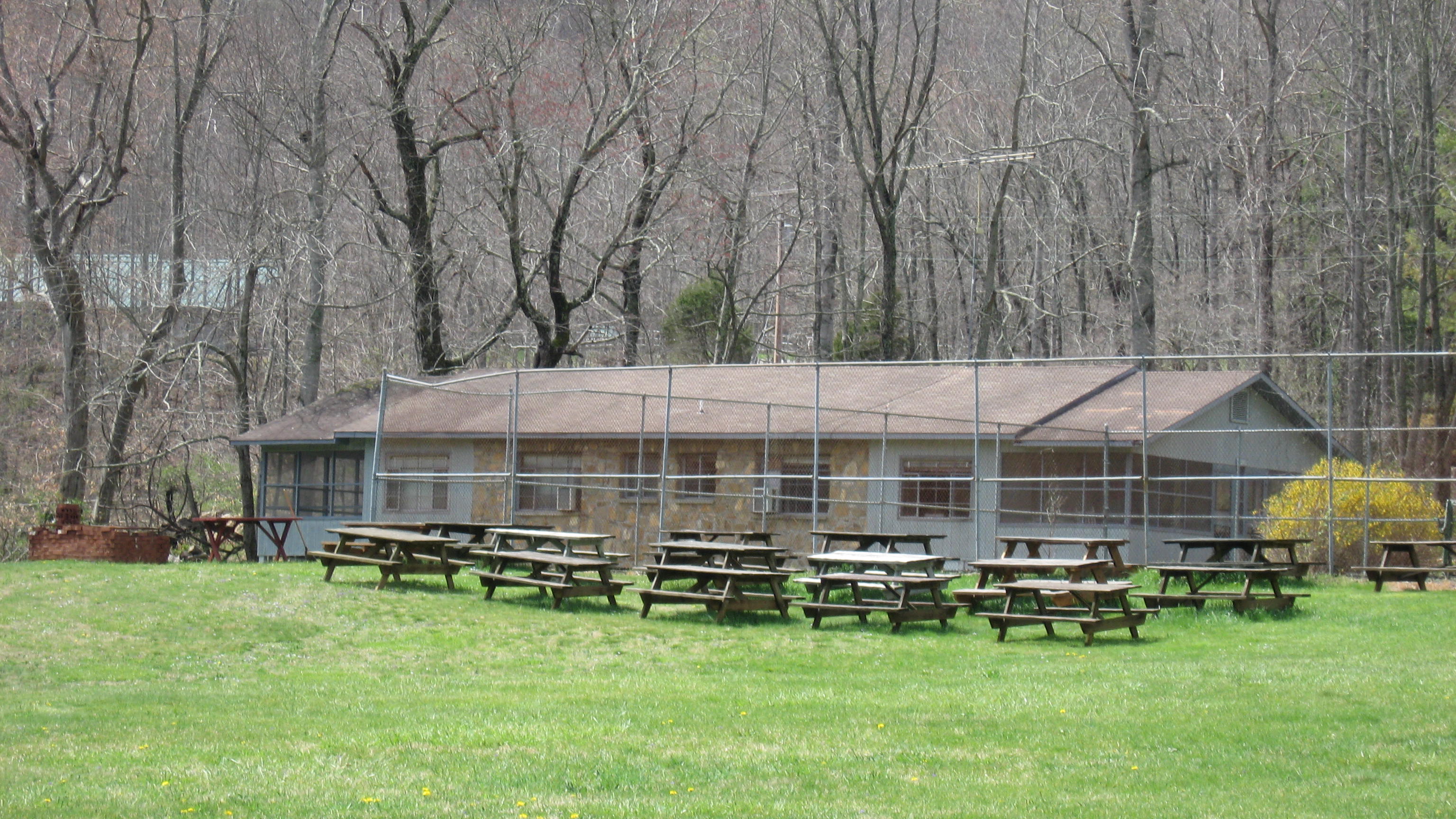
Cookout area, tennis court & Lakeside cabins

Sunrise & Tollgate Cottages
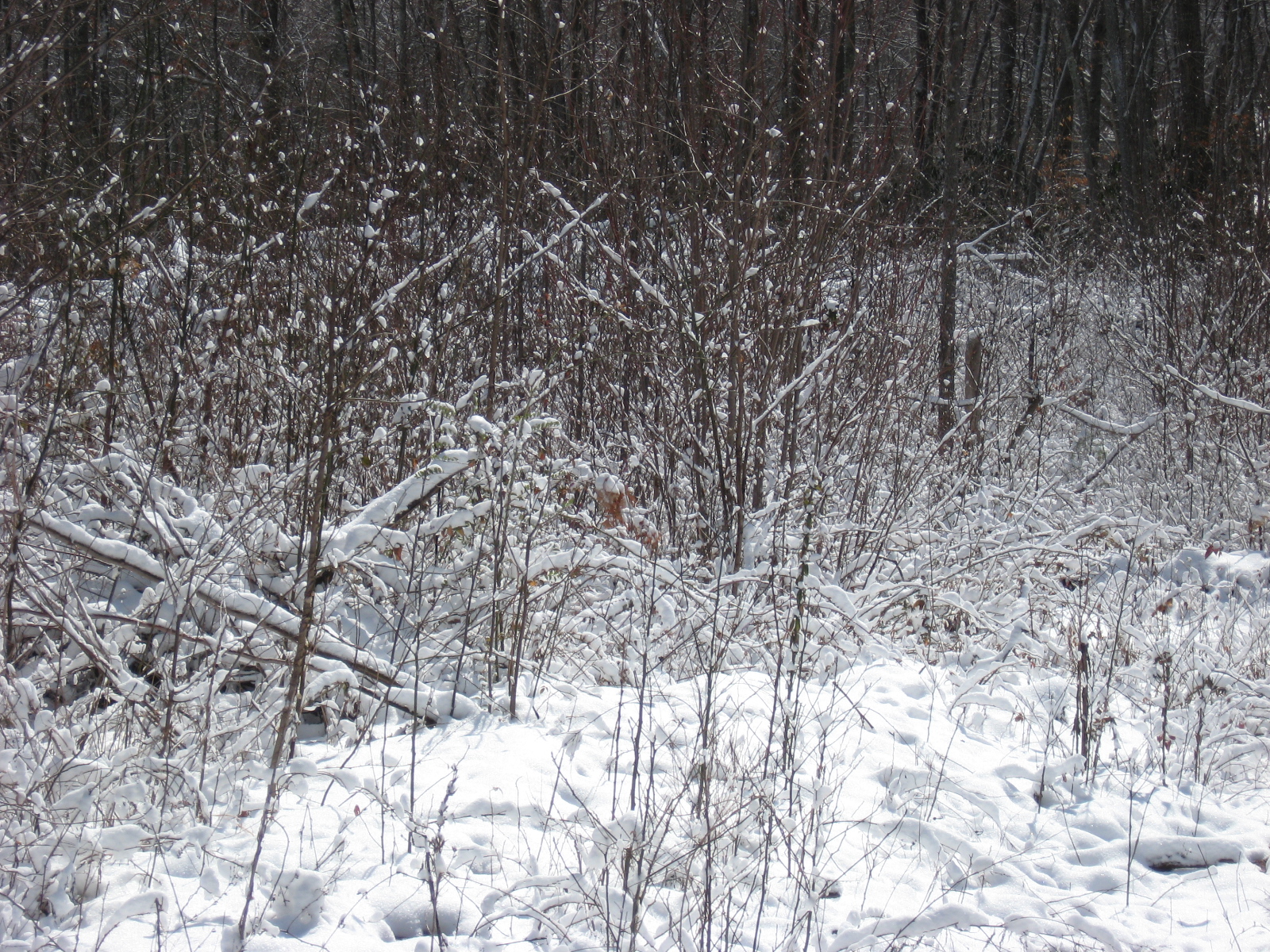
Snow at Pisgah View Ranch

Parallel Discomforts

tone gold

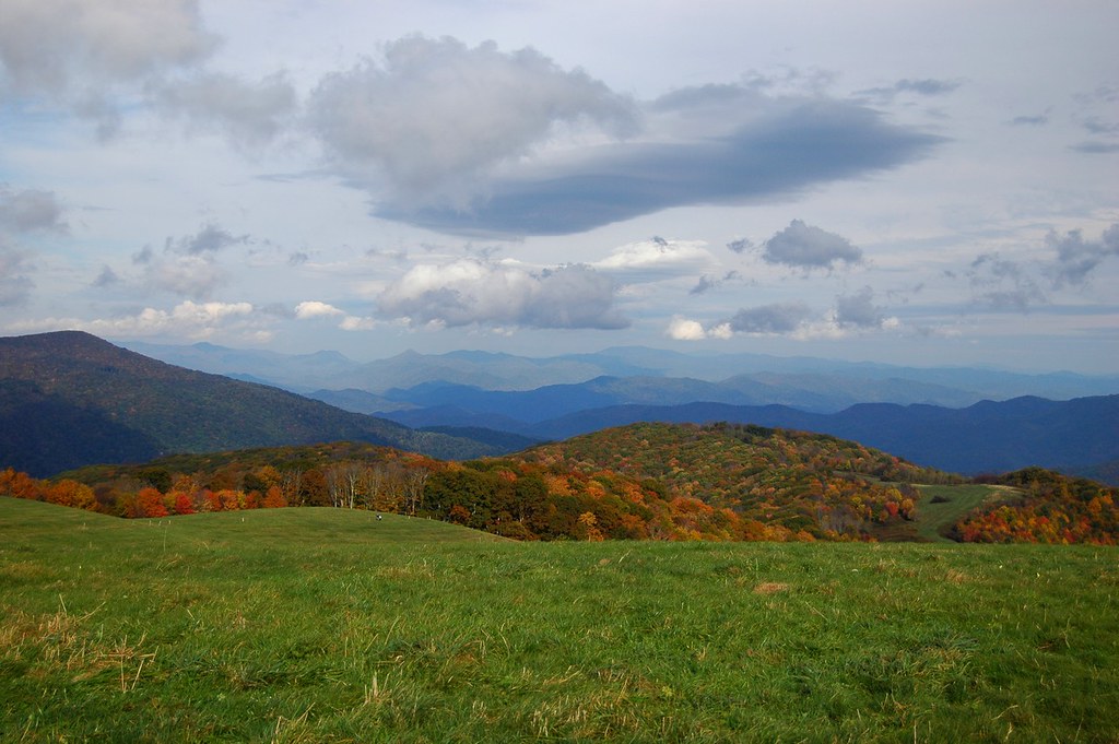
North Carolina - Blue Ridge Parkway
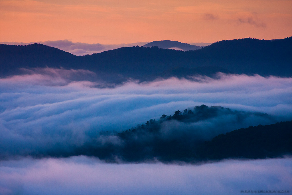
Mountain Mornings
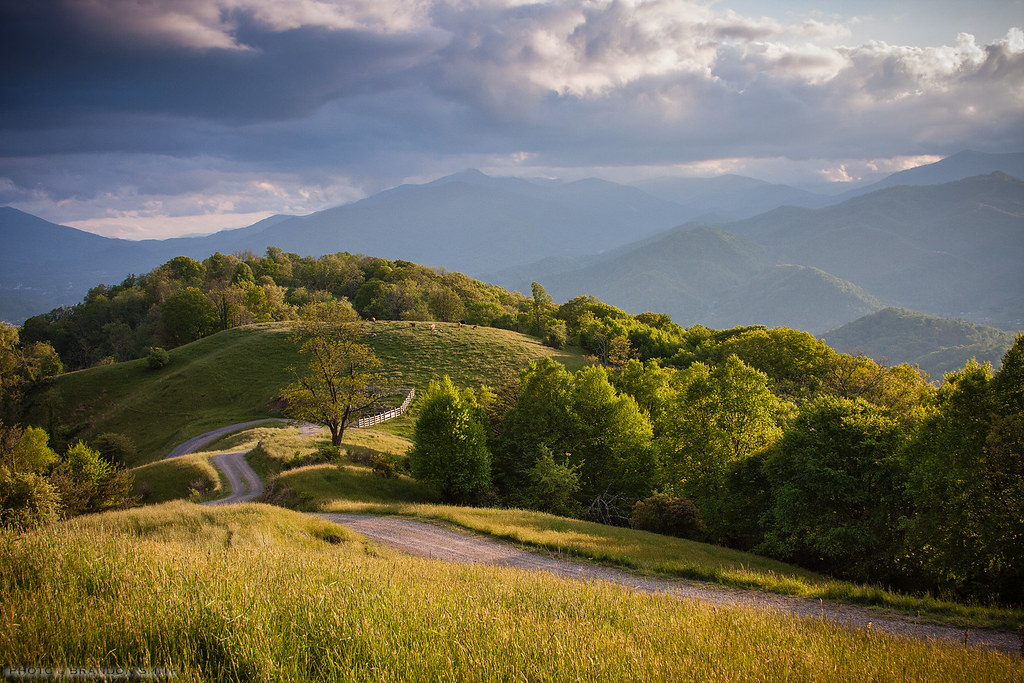
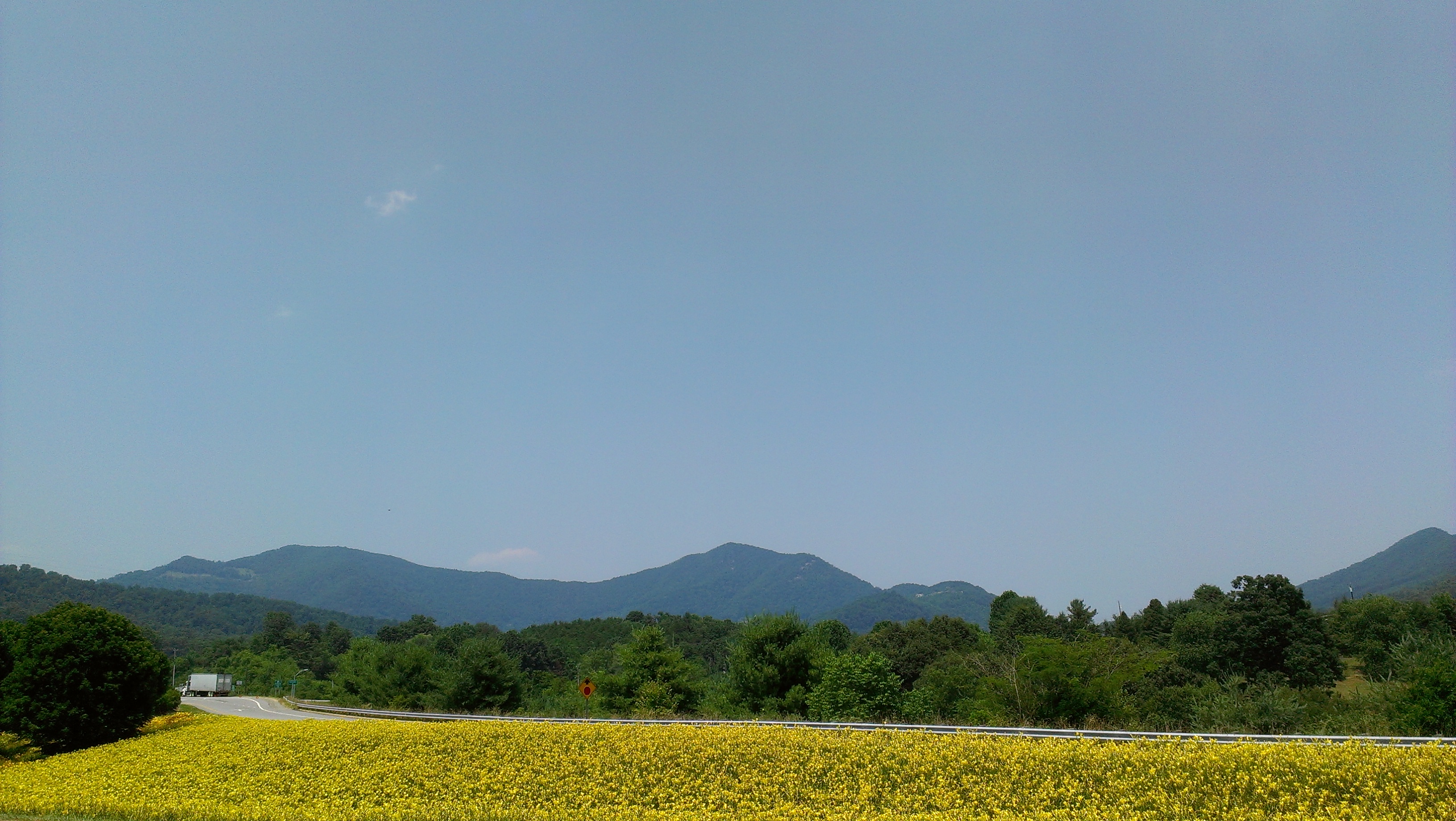
Golden Pasture
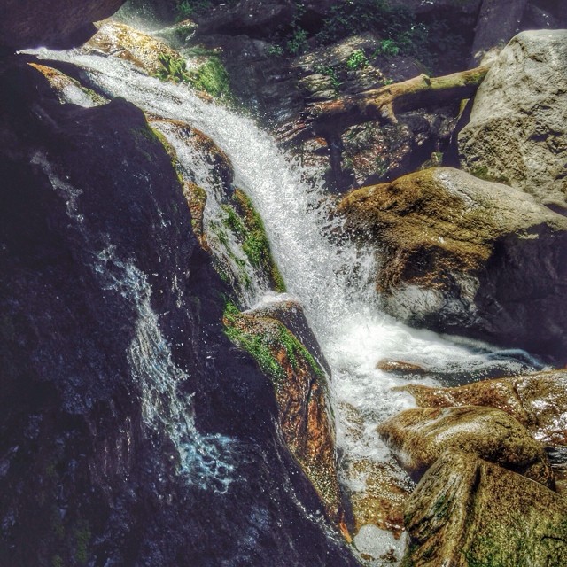
Mill Shoals Falls @ South Mountains State Park #ncwaterfalls #morganton #southmountainsstatepark #wnc #asheville #828isgreat #igersoftheday #nofilter #northcarolinawaterfalls #highshoalsfalls #hikenorthcarolina #blueridgecountry #blueridge #appalachia #wa

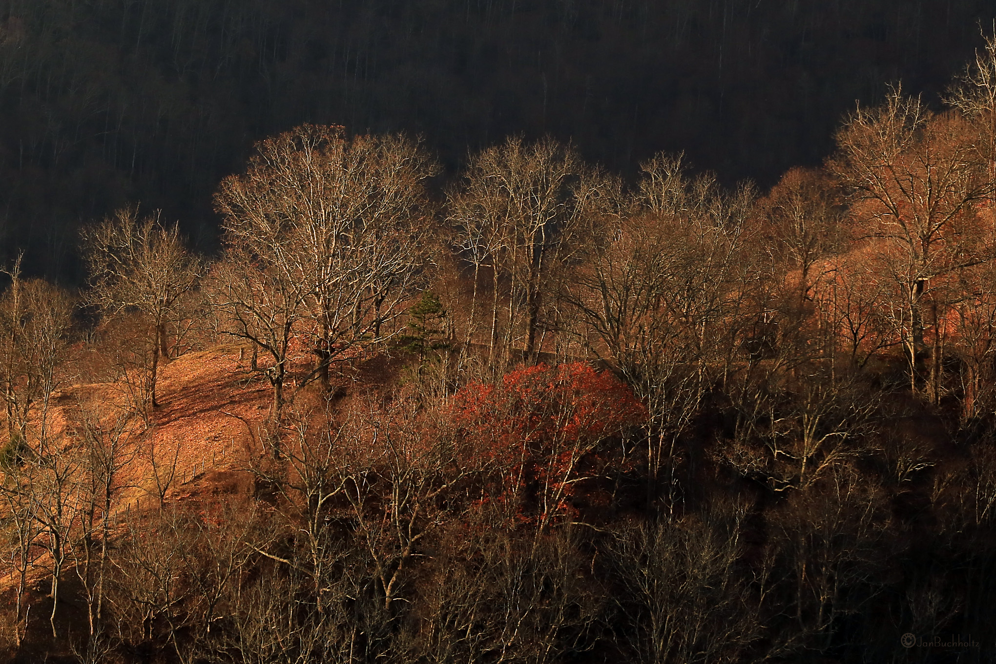
Rain in the Valley
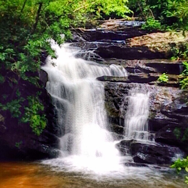
Pigpen Falls #sumternationalforest #chattoogarivertrail #southcarolinawaterfalls #waterfallpics #waterfallhiking #wildandscenicrivers #appalachia #blueridge #blueridgecountry #oconeecountywaterfalls
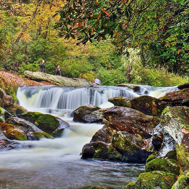
The Potholes on The Wild and Scenic Chattooga River #waterfalls #falls #ChattoogaRiver #wildandscenicrivers #welovenc #we_see_wnc #visitnc #828isgreat #diamondbrand_outdoors #recreation_gov #ospreypacks #blueridgecountry #blueridgeexplorer #cashiersnc #hi
The Final Moments of Fall
from here to there

Blue Ridge Mountains, Psalm 104:32
Max Patch 02
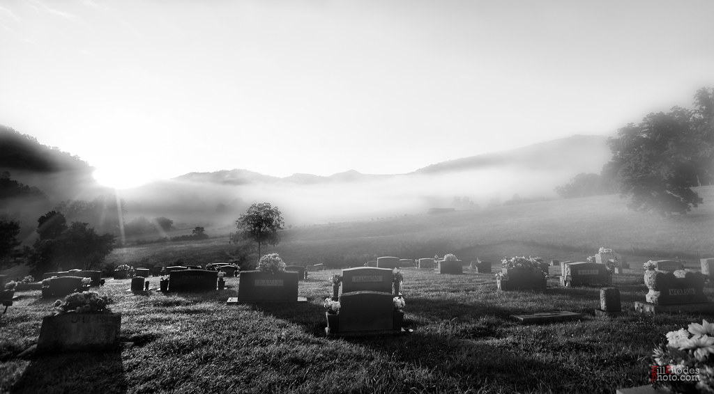
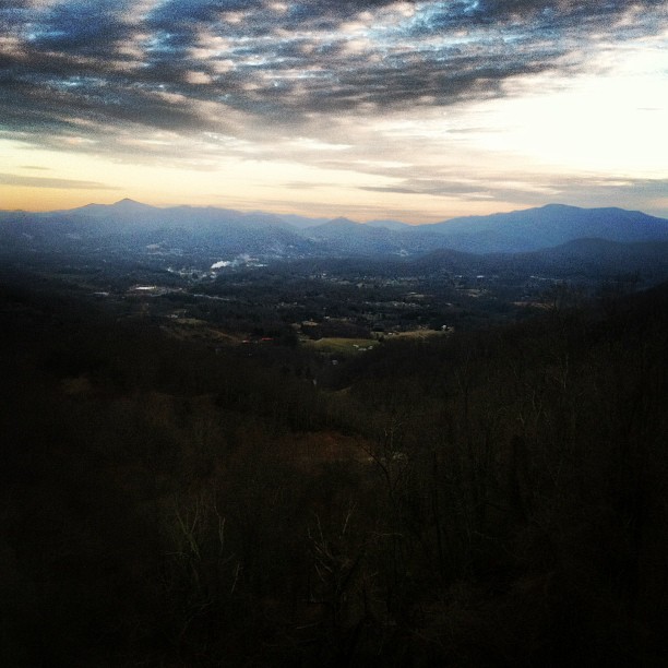
Darkness shrugs and bids the day farewell

Appalachian Trail, Isaiah 52:7
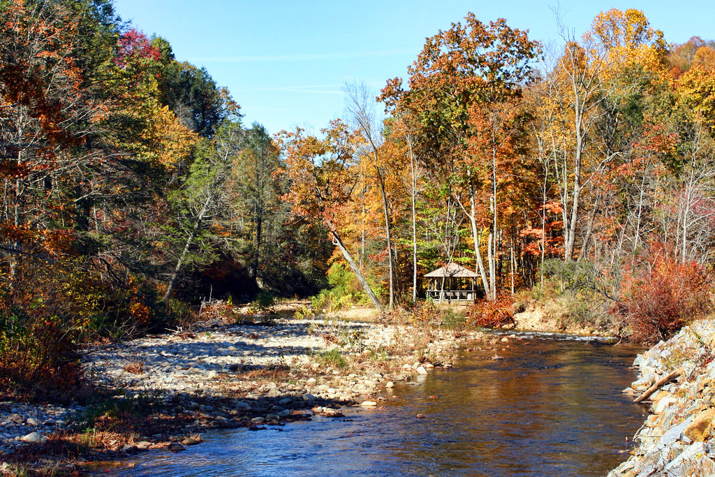
East Fork Pigeon River

Take the high road....
Topographic Map of Summer Cir, Clyde, NC, USA
Find elevation by address:

Places near Summer Cir, Clyde, NC, USA:
263 Summer Cir
206 Seasons Dr
713 Seasons Dr
260 Dolly Ln
1221 Seasons Dr
1294 Buckeye Cove Rd
1083 State Rd 1582
1083 State Rd 1582
125 Victoria Ln
30 Hawk Holler Trail
124 Trantham Rd
670 Run Away Ridge
174 Deep Woods Trail
367 Robinson Rd
429 Brady Cir
944 Brown Cove Rd
48 Jimison Dr
Great Oak Drive
371 Rough Water Point
299 Bluebird Hill Rd
Recent Searches:
- Elevation of Corso Fratelli Cairoli, 35, Macerata MC, Italy
- Elevation of Tallevast Rd, Sarasota, FL, USA
- Elevation of 4th St E, Sonoma, CA, USA
- Elevation of Black Hollow Rd, Pennsdale, PA, USA
- Elevation of Oakland Ave, Williamsport, PA, USA
- Elevation of Pedrógão Grande, Portugal
- Elevation of Klee Dr, Martinsburg, WV, USA
- Elevation of Via Roma, Pieranica CR, Italy
- Elevation of Tavkvetili Mountain, Georgia
- Elevation of Hartfords Bluff Cir, Mt Pleasant, SC, USA