Elevation of Sumerpur, Rajasthan, India
Location: India > Rajasthan > Pali >
Longitude: 73.0822804
Latitude: 25.1526446
Elevation: 272m / 892feet
Barometric Pressure: 98KPa
Elevation Map:
Satellite Map:
Related Photos:
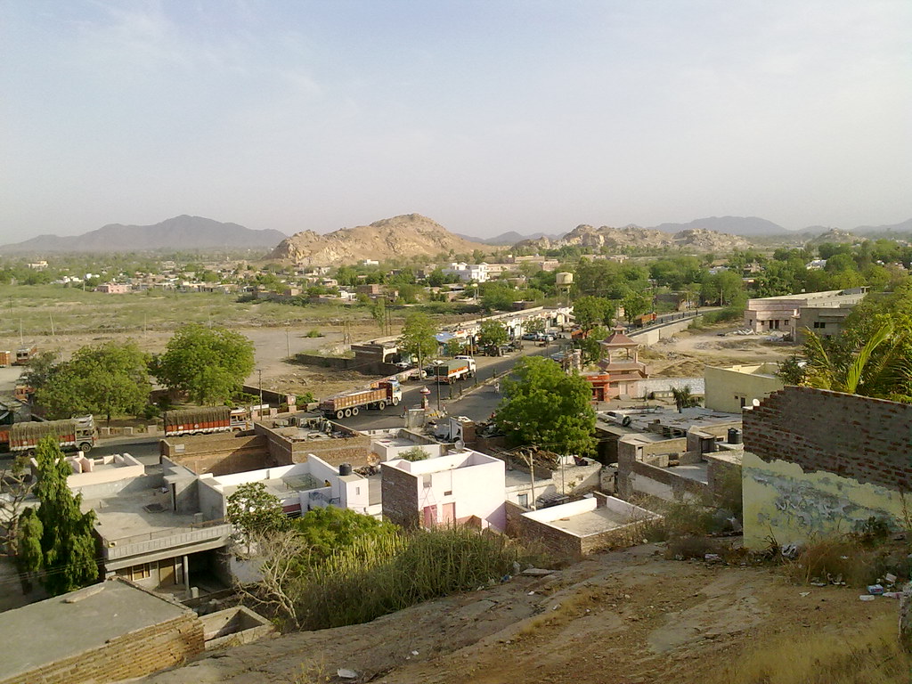
Aerial view of Sumerpur Town
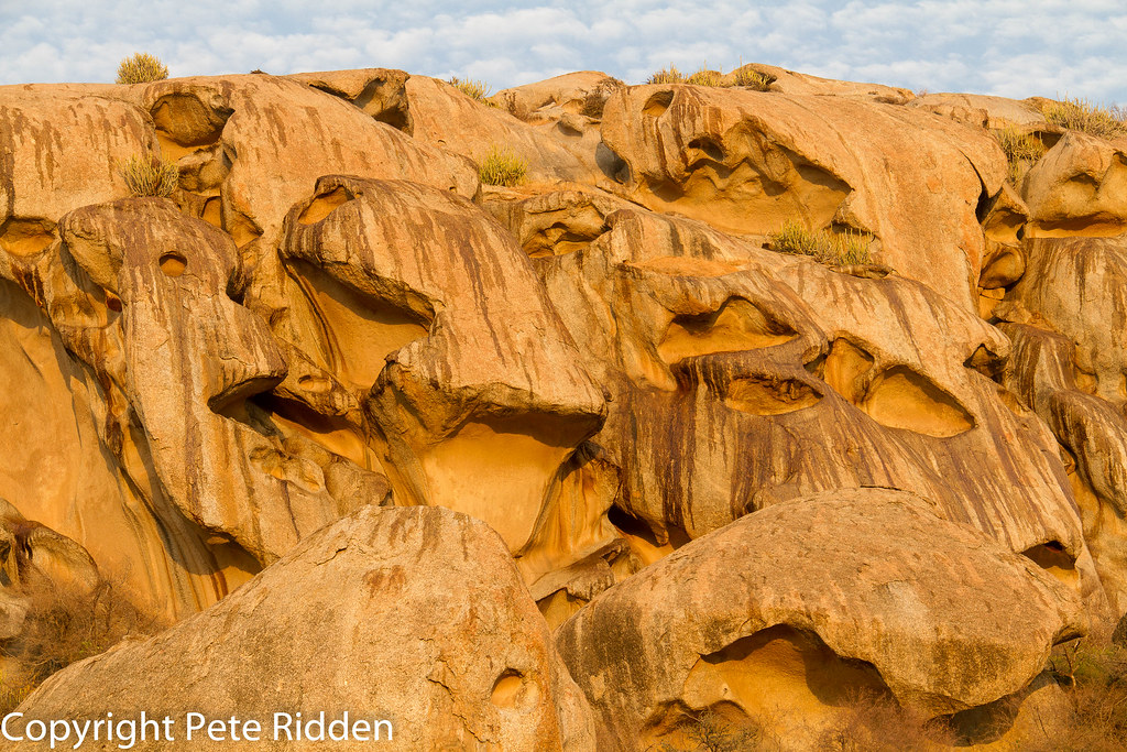
Rock face

Green Bee-eater

Rock shrine
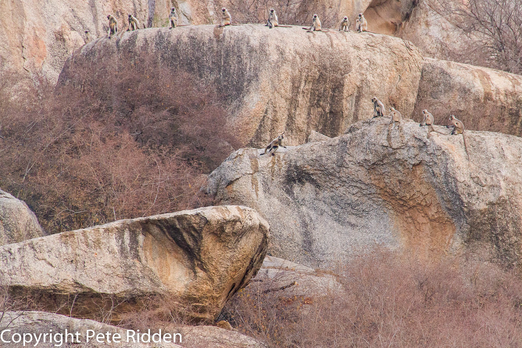
Playing chicken
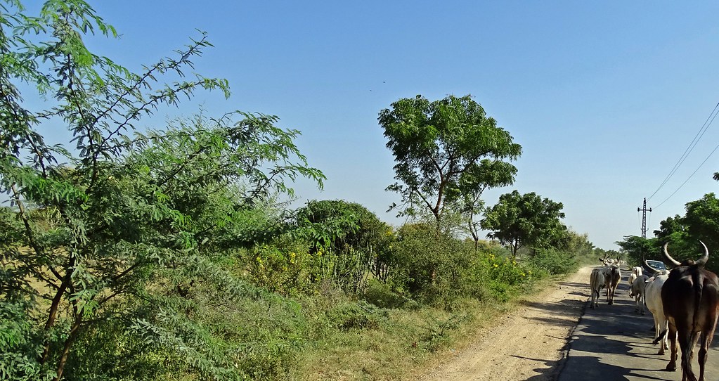
20171005.1137.Indien.Rajasthan.Sheoganj.Sumerpur
20171005.1166.Indien.Rajasthan.Perwa
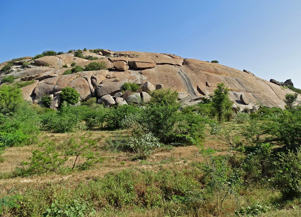
20171005.1173.Indien.Rajasthan.Perwa
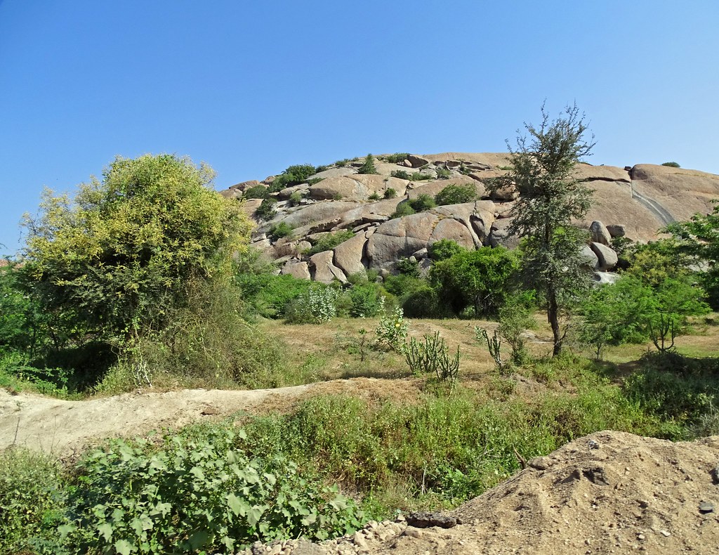
20171005.1172.Indien.Rajasthan.Perwa
Topographic Map of Sumerpur, Rajasthan, India
Find elevation by address:

Places near Sumerpur, Rajasthan, India:
Mandwa
Sirohi
Rajasthan State Highway 38
Pindwara
Banas
Sirohi
Guru Shikhar
Achal Gadh
Achalgarh Fort
Police Station Mandwa
Bakhel
Dilwara Temples
Delwara
Arbuda Devi Temple
Arbuda Devi
Om Shanti Bhawan - Brahmakumaris Intl' Head Quarter
Shankar Math
Mount Abu
Guru Shikhar
Nakki Lake Mount Abu
Recent Searches:
- Elevation of Corso Fratelli Cairoli, 35, Macerata MC, Italy
- Elevation of Tallevast Rd, Sarasota, FL, USA
- Elevation of 4th St E, Sonoma, CA, USA
- Elevation of Black Hollow Rd, Pennsdale, PA, USA
- Elevation of Oakland Ave, Williamsport, PA, USA
- Elevation of Pedrógão Grande, Portugal
- Elevation of Klee Dr, Martinsburg, WV, USA
- Elevation of Via Roma, Pieranica CR, Italy
- Elevation of Tavkvetili Mountain, Georgia
- Elevation of Hartfords Bluff Cir, Mt Pleasant, SC, USA