Elevation of Sumas Mountain Rd, Abbotsford, BC V3G, Canada

Location: Canada > British Columbia > Fraser Valley > Abbotsford >

Longitude: -122.19829

Latitude: 49.0578955

Elevation: 33m / 108feet

Barometric Pressure: 101KPa

Elevation Map:

elevation map of Sumas Mountain Rd, Abbotsford, BC V3G, Canada

Satellite Map:

Satellite map of Sumas Mountain Rd, Abbotsford, BC V3G, Canada

Related Photos:

greatphotographers
View from my lunchspot today... EXPLORED !!! WOO HOO !!!
flower macro lily stamens abbotsford doublefantasy nikond90 ahqmacro 100commentgroup tripleniceshot nikkor85mmmicrolens
Lily Pistil & Stamens
sunset flower dandelion seeds backlit abbotsford settingsun potofgold nikond90 goldstaraward 100commentgroup mygearandmepremium mygearandmebronze mygearandmesilver mygearandmegold dblringexcellence nikkor18to200mmvrlens
Sunset Seeds
river geotagged rocks filter polarizer fraserriver hdr abbotsford fills walkingonwater mountaind janusz leszczynski sky” “big infinestyle artofimages bestcapturesaoi 003452 geo:lon=12208674 geo:lat=49143959
Walking on water
View from my lunchspot today...
ca canada forest moss britishcolumbia ferns forestfloor treestump martinsmith cultuslake teapothill fernsandforest nikkor2485mmf3545gedvr nikond750 ©martinsmith
Tree Stump, Ferns, Moss
View from my lunchspot today...
blue trees snow canada mountains nature river geotagged scenery scenic bluesky thursday vedder bytheriver otw beautifulbritishcolumbia nikond40 skycloudssun chilliwackbc bluejay2006 dragondaggerphoto novavitanewlife geo:lat=49097532 geo:lon=121986523
Just blue
View from my lunchspot today...
church abbey westminsterabbey geotagged catholic bc cross monastery mission benedictine hdr reachingout janusz leszczynski 012342 geo:lat=49153443 geo:lon=122270617
Reaching out
mountains sunrise geotagged farm highway1 unionstation hdr mtbaker abbotsford sumas sumasmountain alisonkrauss janusz leszczynski momentslikethis 230615 geo:lat=49065104 geo:lon=12240121
Moments Like This
church abbey westminsterabbey geotagged catholic monastery benedictine hdr sigma1224 missionbc missionpossible janusz leszczynski geo:lat=49153436 geo:lon=122270569
Mission Possible
bridge forest river geotagged canal railway driftwood valley fraser googleearth hdr abbotsford chilliwack veder janusz leszczynski silverefexpro geo:lat=49137249 geo:lon=122094841 001127
Fraser Valley – Vedder Canal and see what can you find when going over Google Earth
View from my lunchspot today...
greatphotographers
View from my lunchspot today...
greatphotographers
View from my lunchspot today...
greatphotographers
View from my lunchspot today...
greatphotographers
View from my lunchspot today...
trees nature beautiful barn canon wonderful fantastic glow hiking gorgeous awesome smooth 5d backlit mothernature chilliwack countrylife fraservalley rurallife snowless greatphotographers nearme 7020028is x2extender cjack clubtread topazed chilliwackjack iadjustedit
Old Orchard Barn...
greatphotographers
View from my lunchspot today...
blue clouds landscape britishcolumbia cloudscape abbotsford fraservalley matsqui decluttr kvdl
the valley.
panorama snow mountains field vancouver clouds river geotagged farms fraser hdr abbotsford 2010 chilliwack fraservalley janusz leszczynski veddercanal 005251 geo:lat=49131759 geo:lon=122093237
Fraser Valley
plant mountains flower sunrise skyscape landscape outdoors spring nikon sigma wideangle flowerbed tulip bloom fields colourful sunrays brilliant abbotsford fraservalley tulipfarm d7000
Tulip Sunrise (Explored)
Rufous Hummingbird Female
canada britishcolumbia abbotsford nikond7000 nikkor18to200mmvrlens
Crop Designs along Nelles
gold dragonfly libellula odonata fourspottedchaser libellulaquadrimaculata quadrimaculata fourspottedskimmer
When Birds Won't Co-operate
trees mountain canada mountains tree beach water forest river bench island coast canal log nikon whitewater sitting bc cloudy path walk britishcolumbia shoreline foggy spot trail walkway shore sit coastline 1855 nikkor distance bushes channel pathway gravel waterway chilliwack mountainrange sardis metrovancouver deadfall greatervancouver beautifulbritishcolumbia ragingriver graveltrail chilliwackriver d5100 insidevancouver kuelker kuelkerphotography
River Walk
park wood travel pink blue light sunset summer sky orange cloud sun sunlight mountain lake canada reflection tree green tourism beach nature water beautiful rock horizontal stone forest sunrise relax landscape dawn evening coast log scenery bc view natural outdoor dusk britishcolumbia ripple scenic rocky peaceful wave scene calm pebble reflect national shore lakeshore trunk environment coastline relaxation majestic liquid tranquil hdr chilliwack cultus cultuslake
Cultus Lake Sunset
sunset shadow snow canada america landscape washington nikon shadows bc unitedstates sundown dusk britishcolumbia peak panoramic brush snowcapped 1855 peaks nikkor washingtonstate distance midday mountbaker sculpted abbotsford eaglemountain metrovancouver greatervancouver beautifulbritishcolumbia eaglemountainpark d5100 insidevancouver kuelker kuelkerphotography
Mount Baker
greatphotographers
...sure, but do the Geese actually fly South for the Winter ???
greatphotographers
[ old orchard road barn ]
greatphotographers
The West Lagoon at GBHNR...
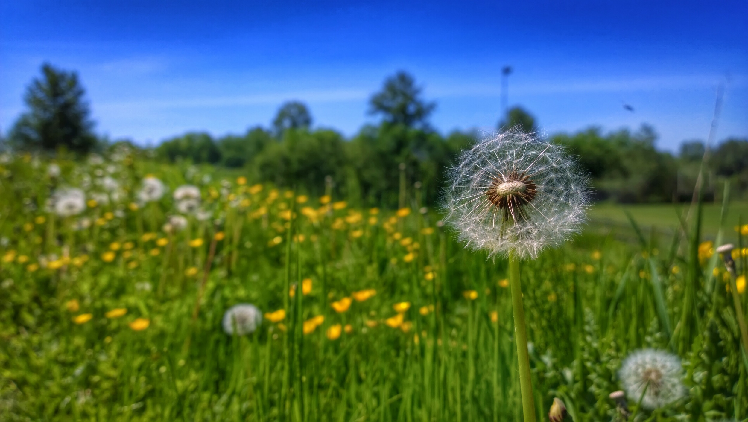
nokia scenery hdr lumia pureview lumia1020
Dandelion faux HDR