Elevation map of Sultanpur, Uttar Pradesh, India
Location: India > Uttar Pradesh >
Longitude: 82.12784
Latitude: 26.2977026
Elevation: 100m / 328feet
Barometric Pressure: 100KPa
Elevation Map:
Satellite Map:
Related Photos:
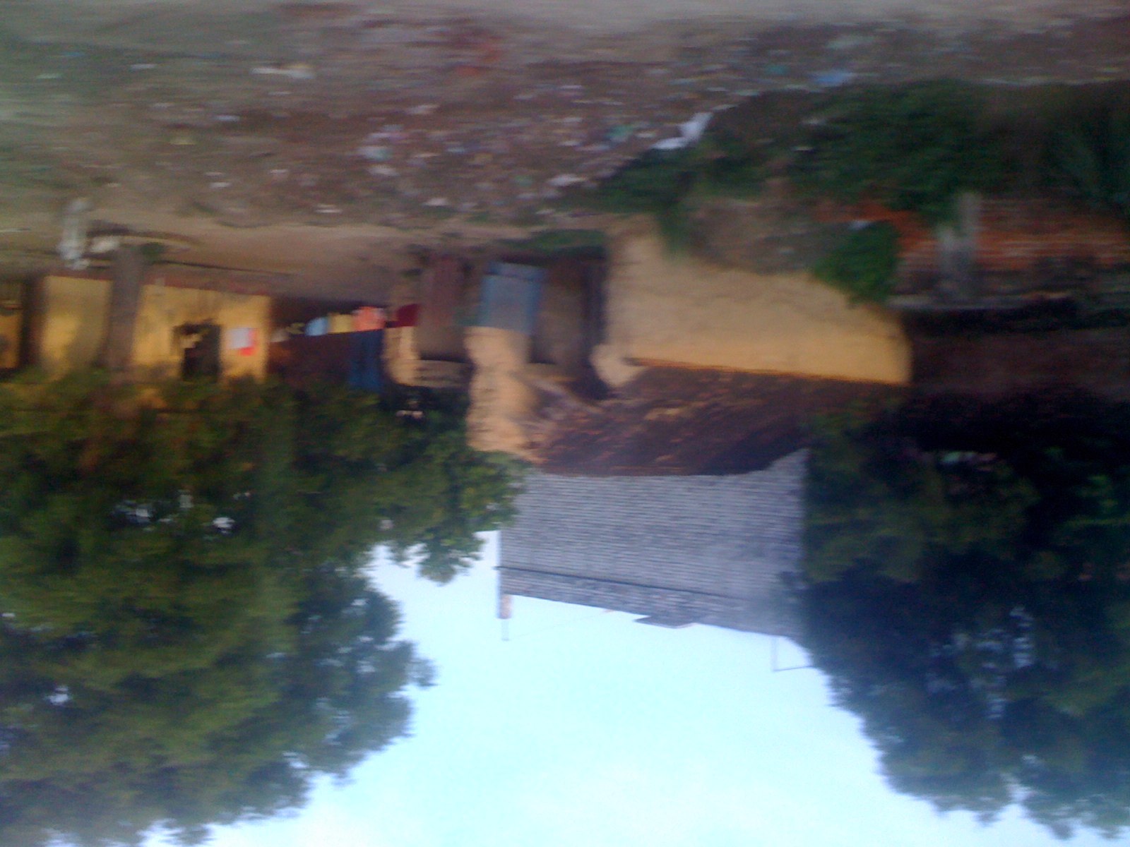
Picture 471

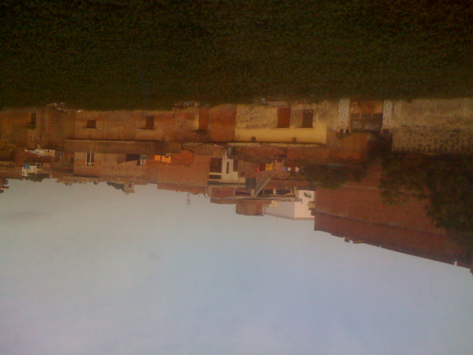
Picture 470
Picture 469

Besökare Samtidigt
Topographic Map of Sultanpur, Uttar Pradesh, India
Find elevation by address:

Places in Sultanpur, Uttar Pradesh, India:
Places near Sultanpur, Uttar Pradesh, India:
Sultanpur
Amethi
Faizabad
Gauriganj
Pratapgarh
Jaunpur
Shiv Nagar
Kidwai Nagar, Ramanand Nagar, Shiv Nagar, Allahpur, Allahabad, Uttar Pradesh, India
Ramanand Nagar
Allahabad
Subedarganj
Allahabad
Varanasi
Recent Searches:
- Elevation of Corso Fratelli Cairoli, 35, Macerata MC, Italy
- Elevation of Tallevast Rd, Sarasota, FL, USA
- Elevation of 4th St E, Sonoma, CA, USA
- Elevation of Black Hollow Rd, Pennsdale, PA, USA
- Elevation of Oakland Ave, Williamsport, PA, USA
- Elevation of Pedrógão Grande, Portugal
- Elevation of Klee Dr, Martinsburg, WV, USA
- Elevation of Via Roma, Pieranica CR, Italy
- Elevation of Tavkvetili Mountain, Georgia
- Elevation of Hartfords Bluff Cir, Mt Pleasant, SC, USA