Elevation of Sultanpet, Tamil Nadu, India
Location: India > Tamil Nadu > Coimbatore >
Longitude: 77.1973997
Latitude: 10.8771353
Elevation: 386m / 1266feet
Barometric Pressure: 97KPa
Elevation Map:
Satellite Map:
Related Photos:

Saravana kumar Palanisamy
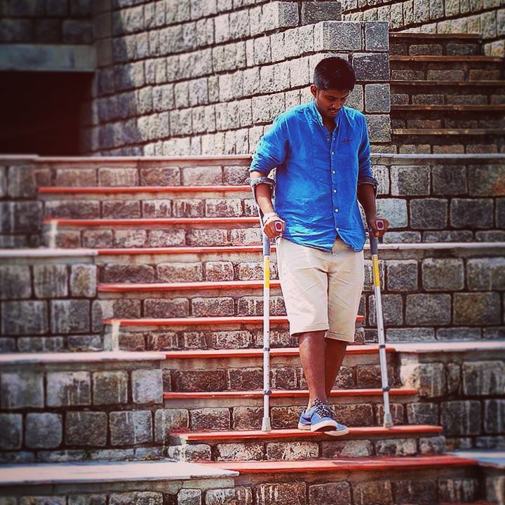
Step by step ???? #brokenleg #fracture #anklebone #anklefracture #ortho #othoone #crutches #coimbatorian #coimbatore #chettipalayam #steps #stepbystep #improvement #canon #canon5DMIII #canon5D #instagram #iphone #iphone4s #filters
Topographic Map of Sultanpet, Tamil Nadu, India
Find elevation by address:

Places near Sultanpet, Tamil Nadu, India:
Kammalapatti Post Office
Kammalapatti
Sulur
Kinathukadavu
Malligarjuna Swamy Temple Kalyana Mandapam
Gudimangalam
Singanallur Lake
Kallimadai
Vellingiri Kovil
Sidco
Sidco Private Industrial Estate
Peelamedu
Pollachi Main Road
Ramasamy Nagar
Kurichi
Sri Krishna Arts And Science College
Madukkarai
Pudur
Sri Ayyapan Temple
Ganapathy
Recent Searches:
- Elevation of Corso Fratelli Cairoli, 35, Macerata MC, Italy
- Elevation of Tallevast Rd, Sarasota, FL, USA
- Elevation of 4th St E, Sonoma, CA, USA
- Elevation of Black Hollow Rd, Pennsdale, PA, USA
- Elevation of Oakland Ave, Williamsport, PA, USA
- Elevation of Pedrógão Grande, Portugal
- Elevation of Klee Dr, Martinsburg, WV, USA
- Elevation of Via Roma, Pieranica CR, Italy
- Elevation of Tavkvetili Mountain, Georgia
- Elevation of Hartfords Bluff Cir, Mt Pleasant, SC, USA