Elevation of Suippes, France
Location: France > Alsace-champagne-ardenne-lorraine > Marne >
Longitude: 4.5308149
Latitude: 49.130729
Elevation: 134m / 440feet
Barometric Pressure: 100KPa
Elevation Map:
Satellite Map:
Related Photos:
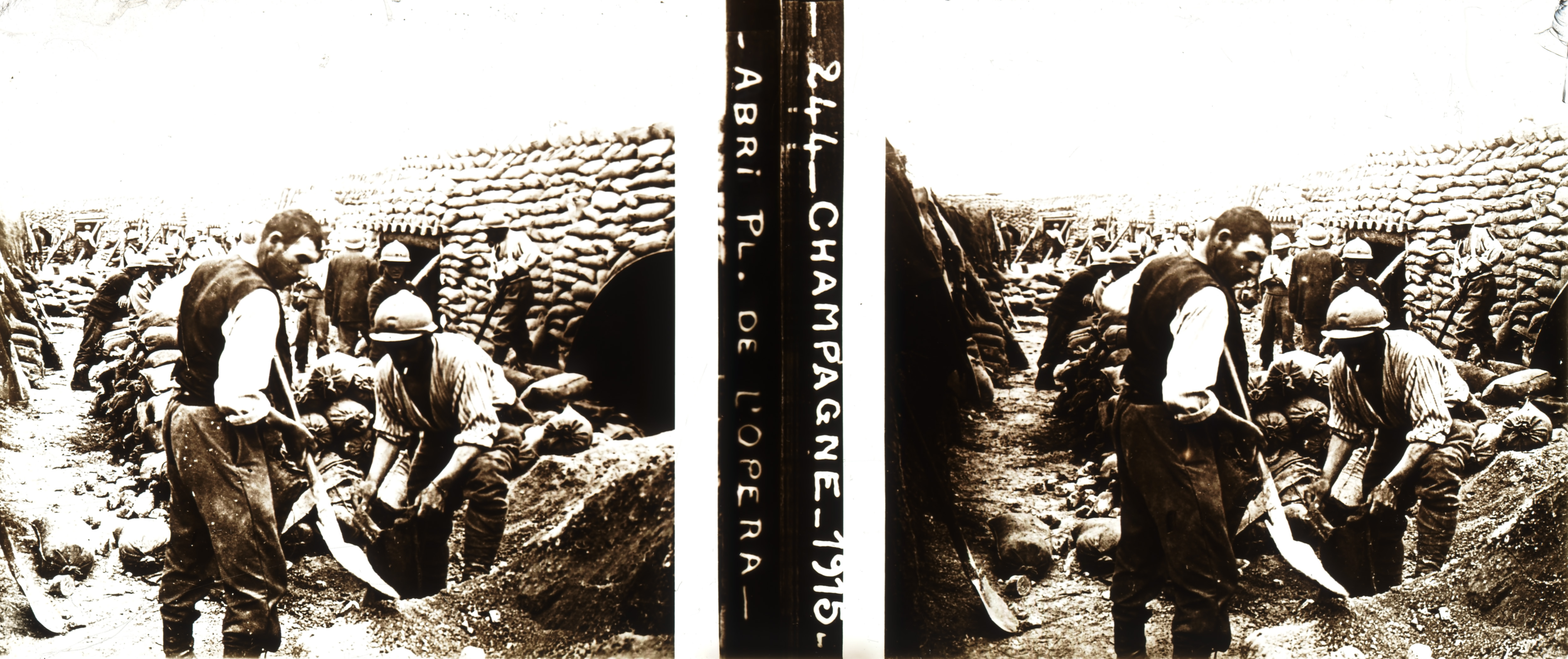
Shelter on "Place de l'Opéra" parade ground in Souain during WWI (stereoscopic glass plate, Champagne, France)

2014-06-09 20.18.13-1
2014-06-09 20.18.13-1

Orthodox Monastery
Le Camp d'Attila - La Cheppe (51)
Le Camp d'Attila - La Cheppe (51)
Sommepy Tahure American Memorial

Trip to France in July 2007

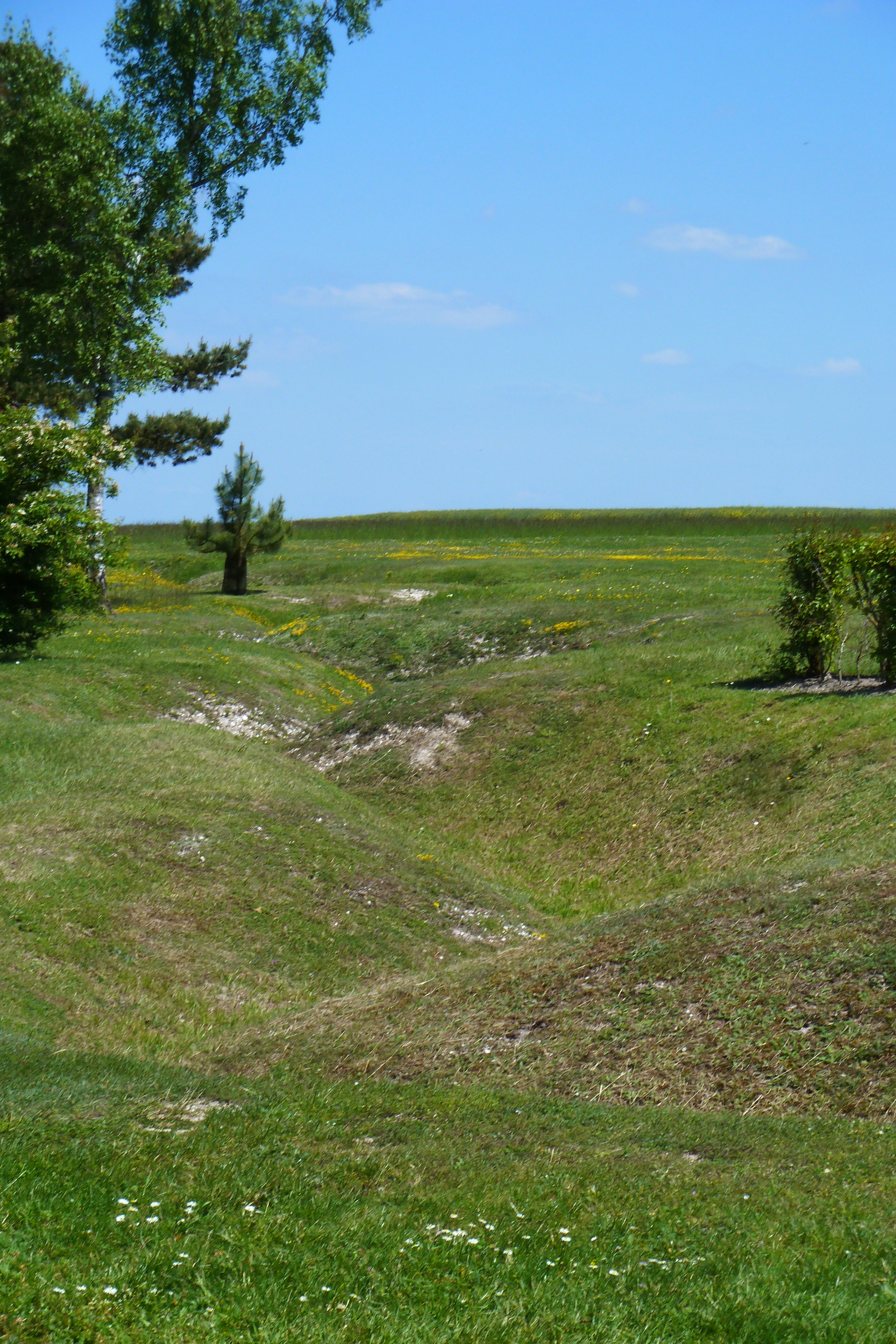
Orderly reflection on the chaos of when two million soldiers fought over this ground in the Battle of Marne
Verzy 15.07
Verzy 15.07
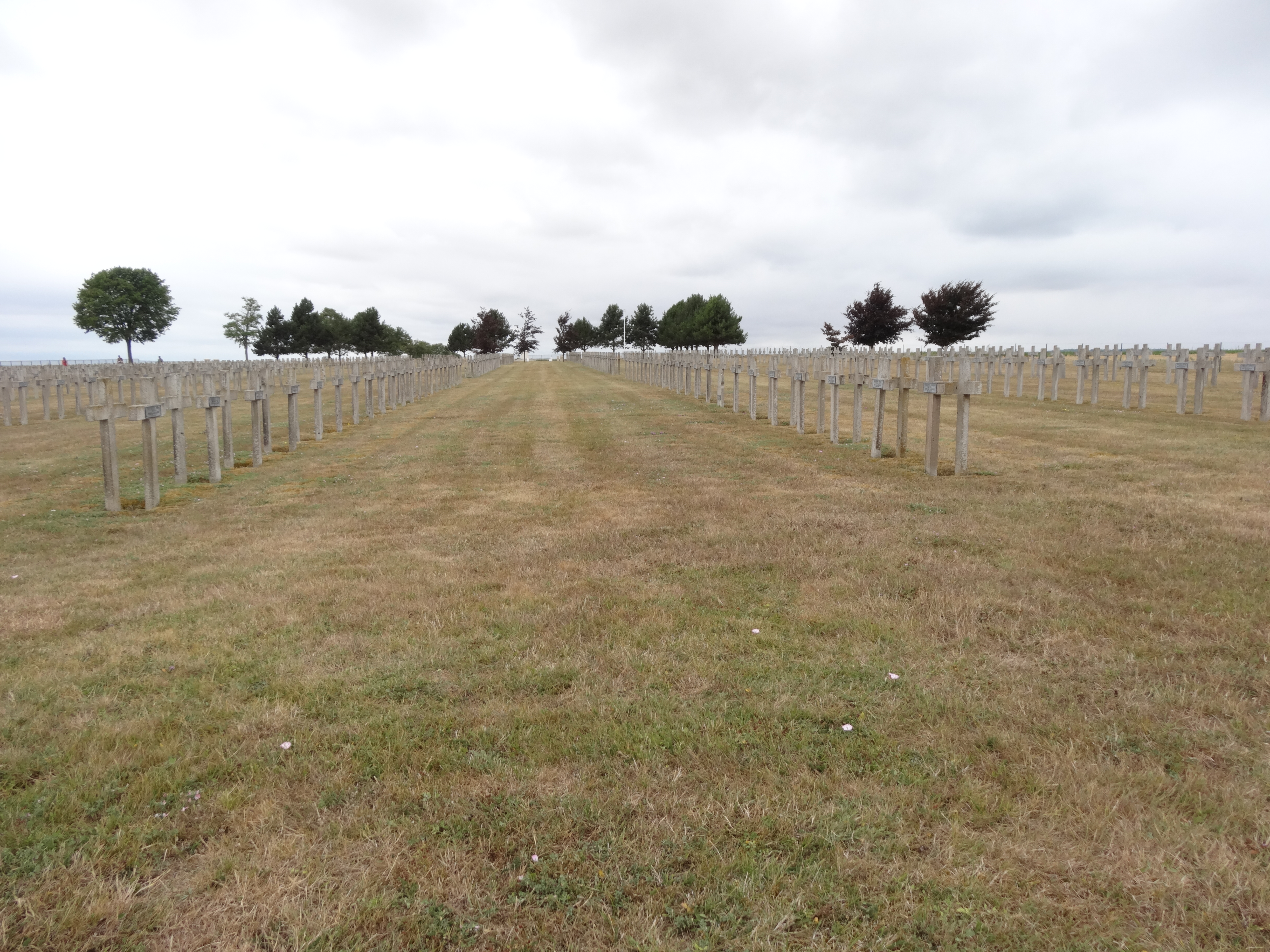
French, German, Polish cemetery on the Voie de la Liberte

Auberive Abbey
Topographic Map of Suippes, France
Find elevation by address:

Places in Suippes, France:
Places near Suippes, France:
9 Chemin de Basse Voie de Châlons, Suippes, France
Bussy-le-château
8 Rue Saint-Nicolas, Bussy-le-Château, France
16 Rue de la Mairie, Saint-Étienne-au-Temple, France
Saint-Étienne-au-temple
24 Rue des Closeaux, L'Épine, France
L'Épine
Minaucourt-le-mesnil-lès-hurlus
11 Rue de la Vallée, Minaucourt-le-Mesnil-lès-Hurlus, France
Saint-mard-sur-auve
4 Rue Saint-Médard, Saint-Mard-sur-Auve, France
33 Rue de Cocagne, Coupéville, France
Coupéville
1 Rue du Pont, Le Fresne, France
Le Fresne
Courtémont
5 Rue de la Mairie, Courtémont, France
19 Route de Louvois, Vraux, France
Vraux
2 Vieille Route de Cheppes, Saint-Martin-aux-Champs, France
Recent Searches:
- Elevation of Corso Fratelli Cairoli, 35, Macerata MC, Italy
- Elevation of Tallevast Rd, Sarasota, FL, USA
- Elevation of 4th St E, Sonoma, CA, USA
- Elevation of Black Hollow Rd, Pennsdale, PA, USA
- Elevation of Oakland Ave, Williamsport, PA, USA
- Elevation of Pedrógão Grande, Portugal
- Elevation of Klee Dr, Martinsburg, WV, USA
- Elevation of Via Roma, Pieranica CR, Italy
- Elevation of Tavkvetili Mountain, Georgia
- Elevation of Hartfords Bluff Cir, Mt Pleasant, SC, USA