Elevation of Suijō, Maibara-shi, Shiga-ken -, Japan
Location: Japan > Shiga Prefecture > Maibara >
Longitude: 136.377087
Latitude: 35.3860816
Elevation: 177m / 581feet
Barometric Pressure: 99KPa
Elevation Map:
Satellite Map:
Related Photos:

Shinkansen "Bullet Train"
井上神社
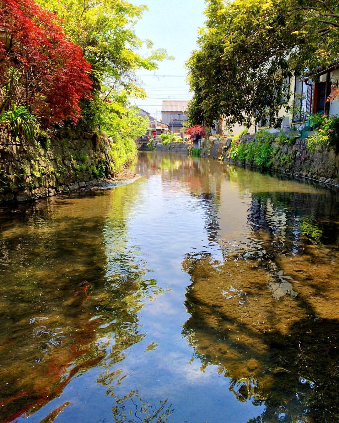
関の藤川(藤古川)
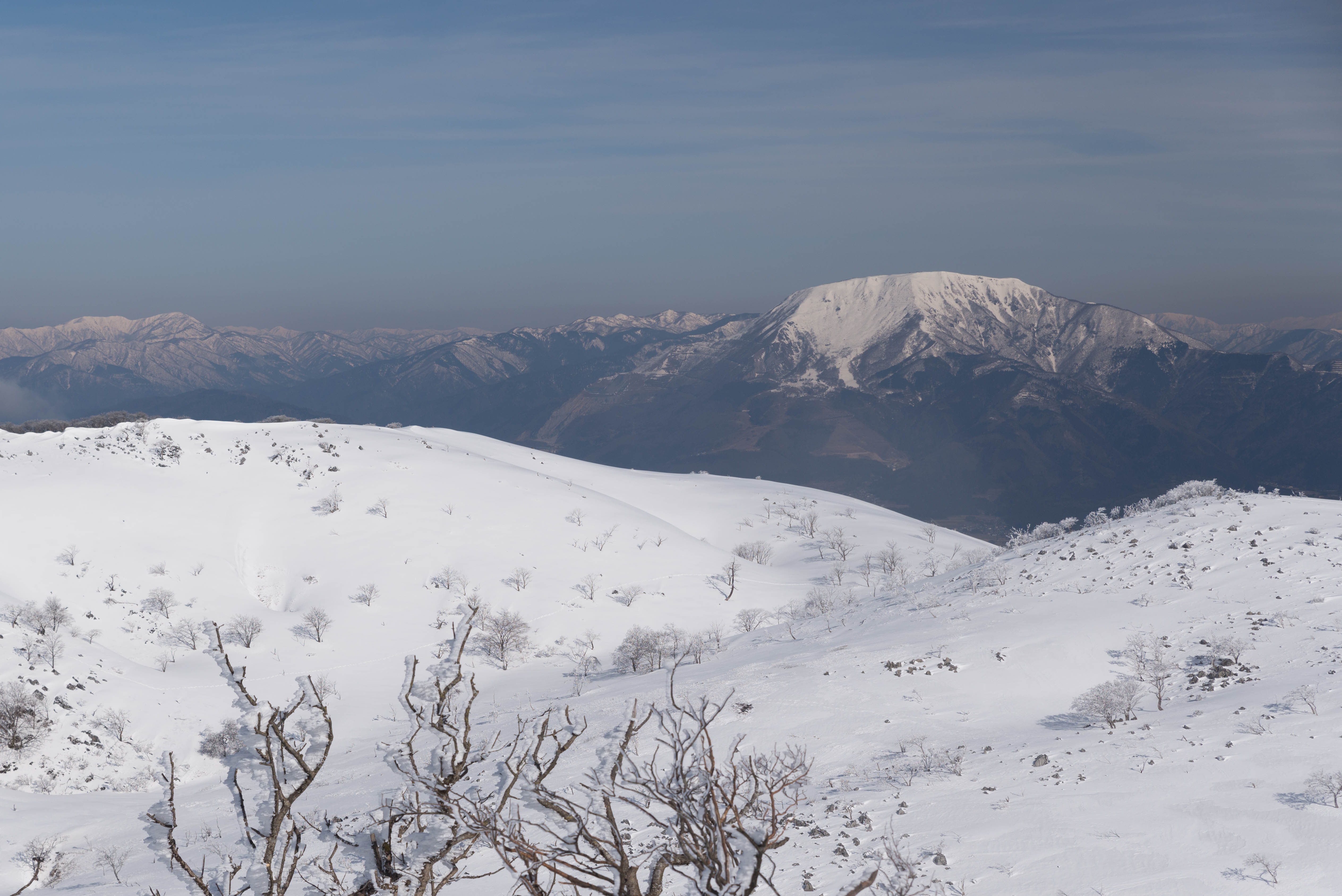
琵琶湖北東部8・Mountains viewed from Mt.Ibuki
琵琶湖北東部4.5.・Lake Biwa viewed from Mt.Ibuki

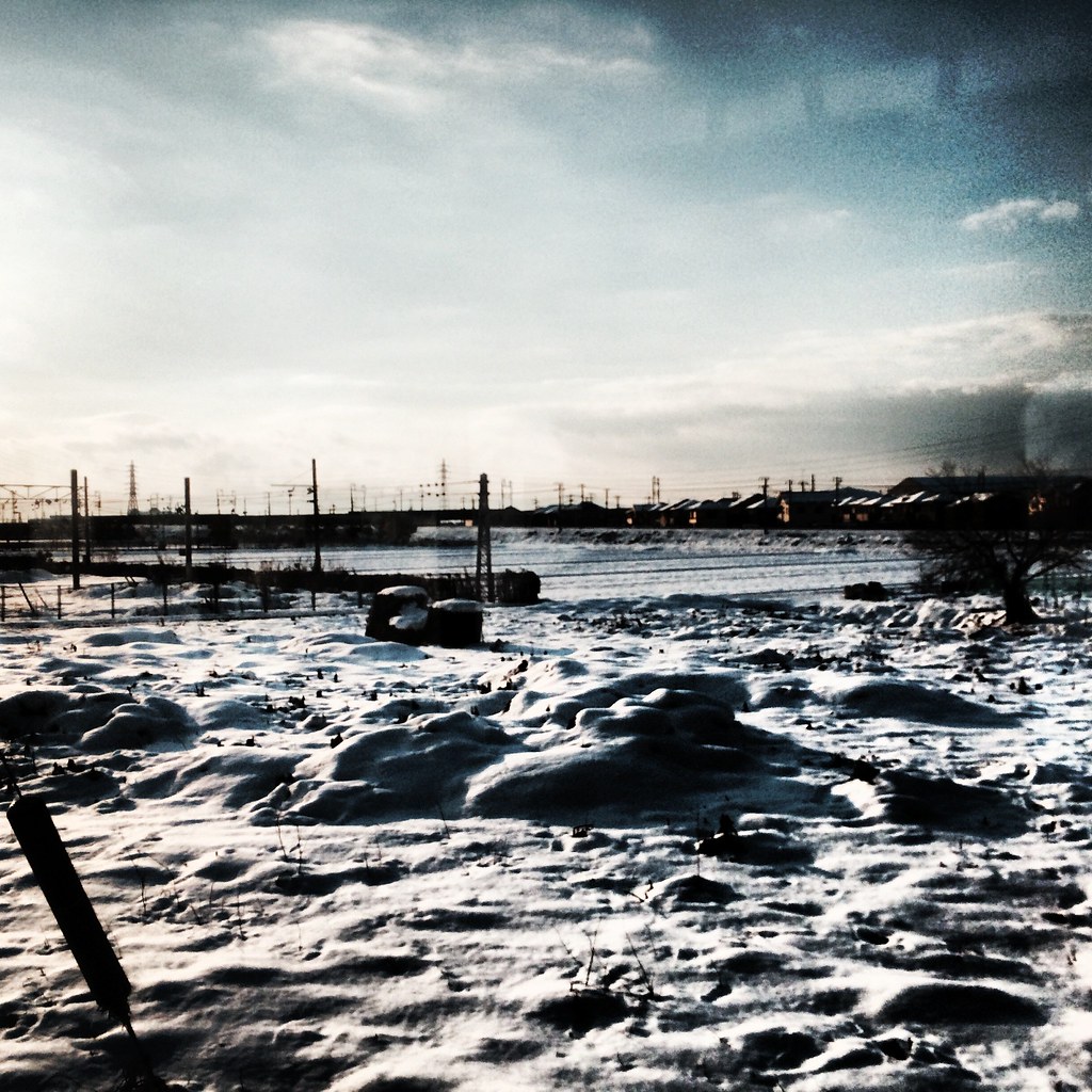
View from a train..
琵琶湖北東部26・Lake Biwa viewed from Mt.Ibuki
竹生島 - Island Chikubu
琵琶湖北東部22・Lake Biwa viewed from Mt.Ibuki

琵琶湖北東部23・Lake Biwa viewed from Mt.Ibuki

My everyday view (PixUp)
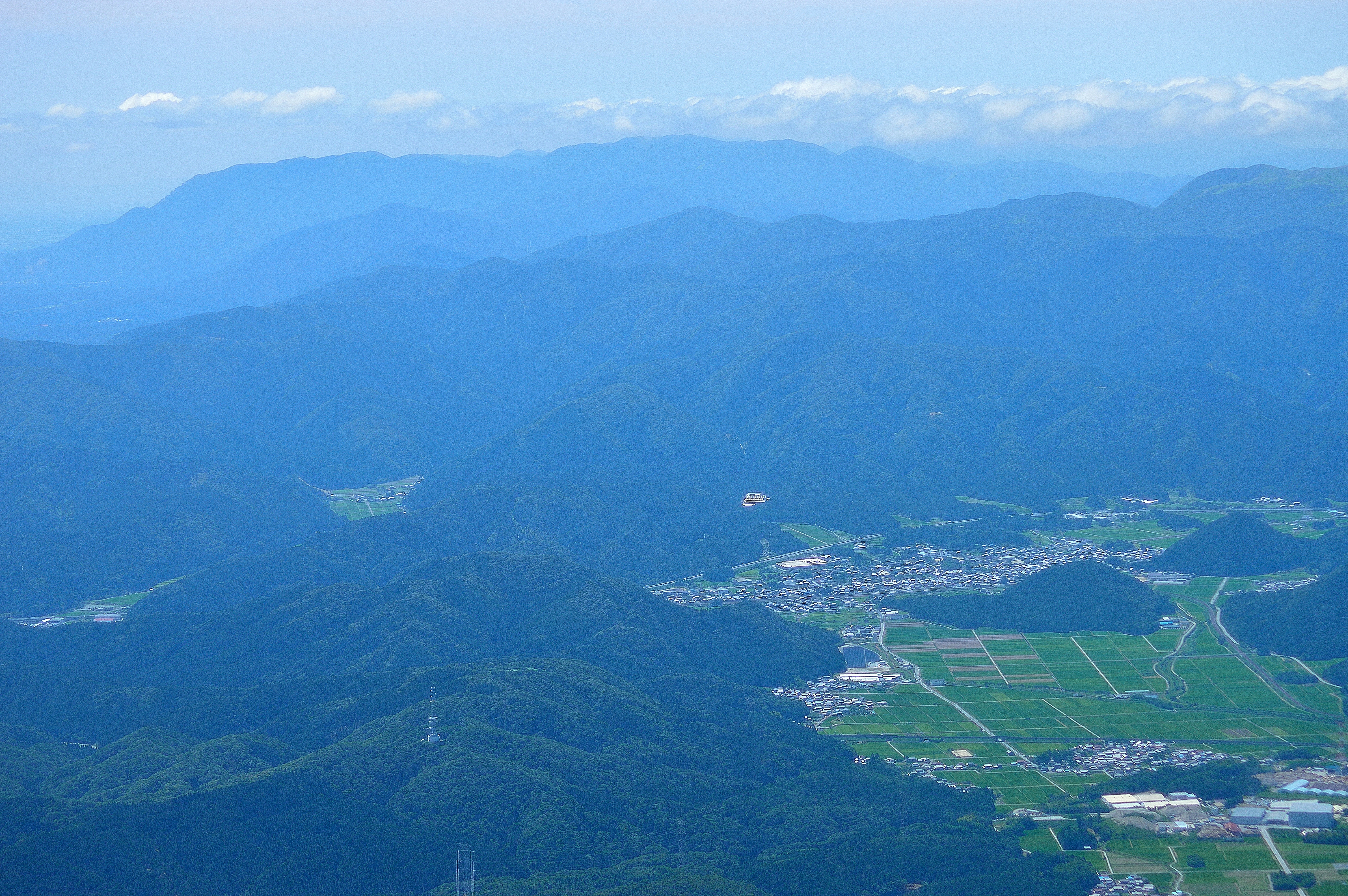
West view from the top
琵琶湖北東部24・Lake Biwa viewed from Mt.Ibuki
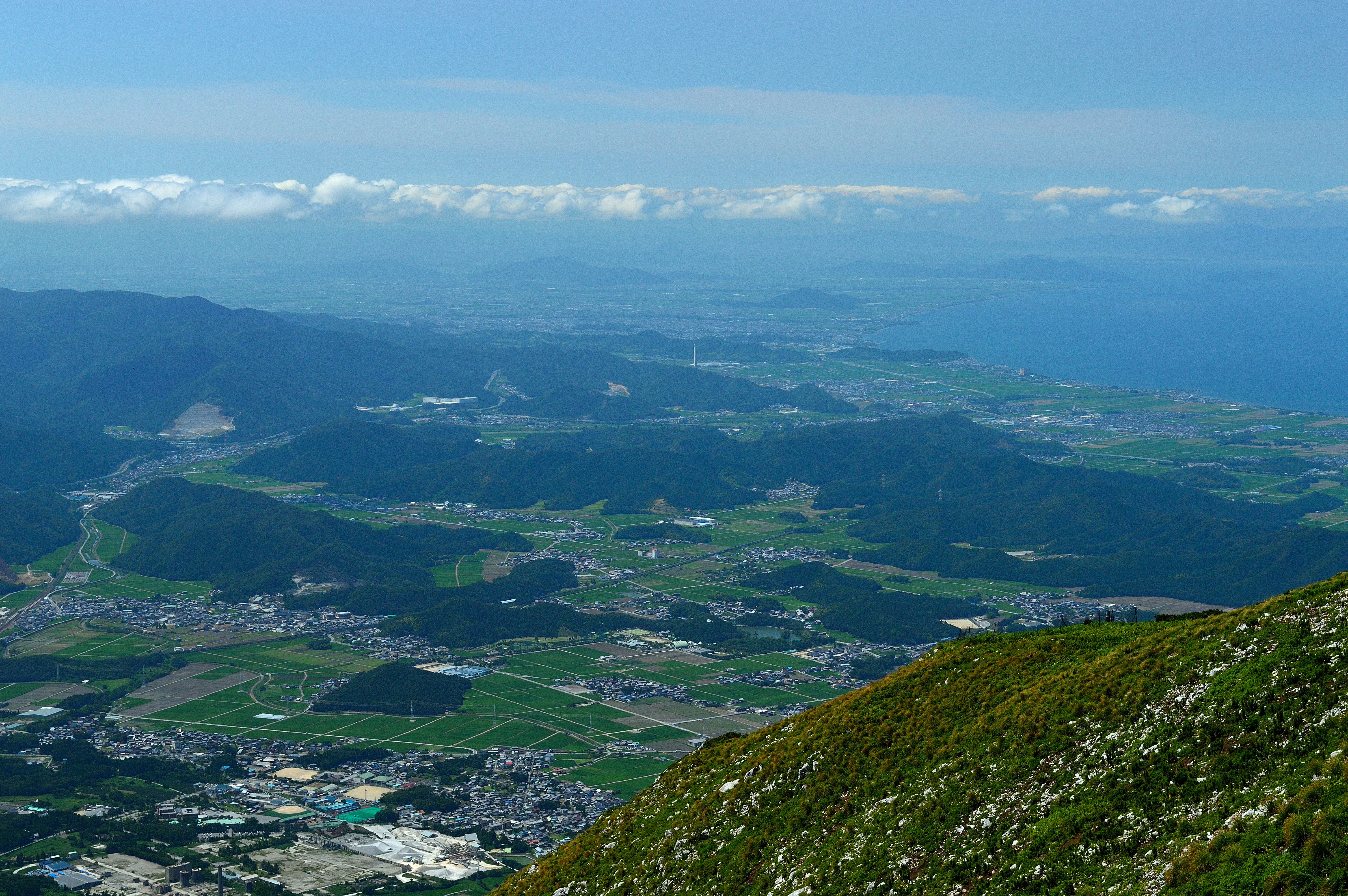
South view from the top

View from a train..
鈴鹿方面2・Suzuka Mountains viewed from Mt.Ibuki
鈴鹿方面3・Suzuka Mountains viewed from Mt.Ibuki
View from a Shinkansen window
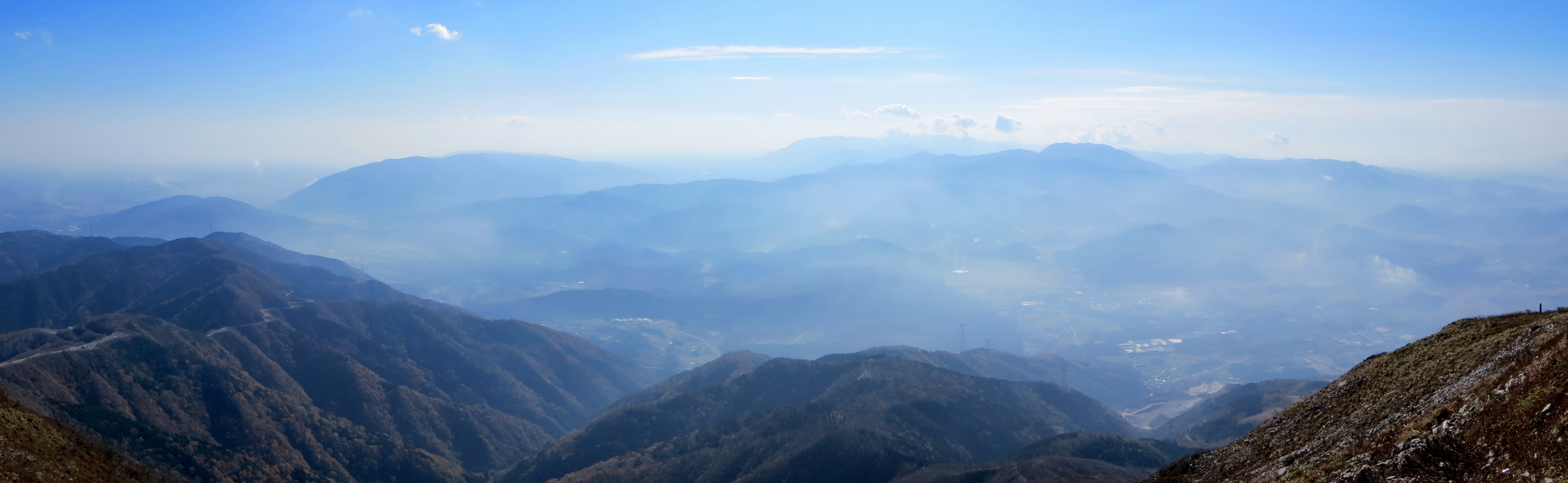
North view from the top
Fuku-bashi Bridge, bottom view
琵琶湖北東部17.18.19.20・Lake Biwa viewed from Mt.Ibuki
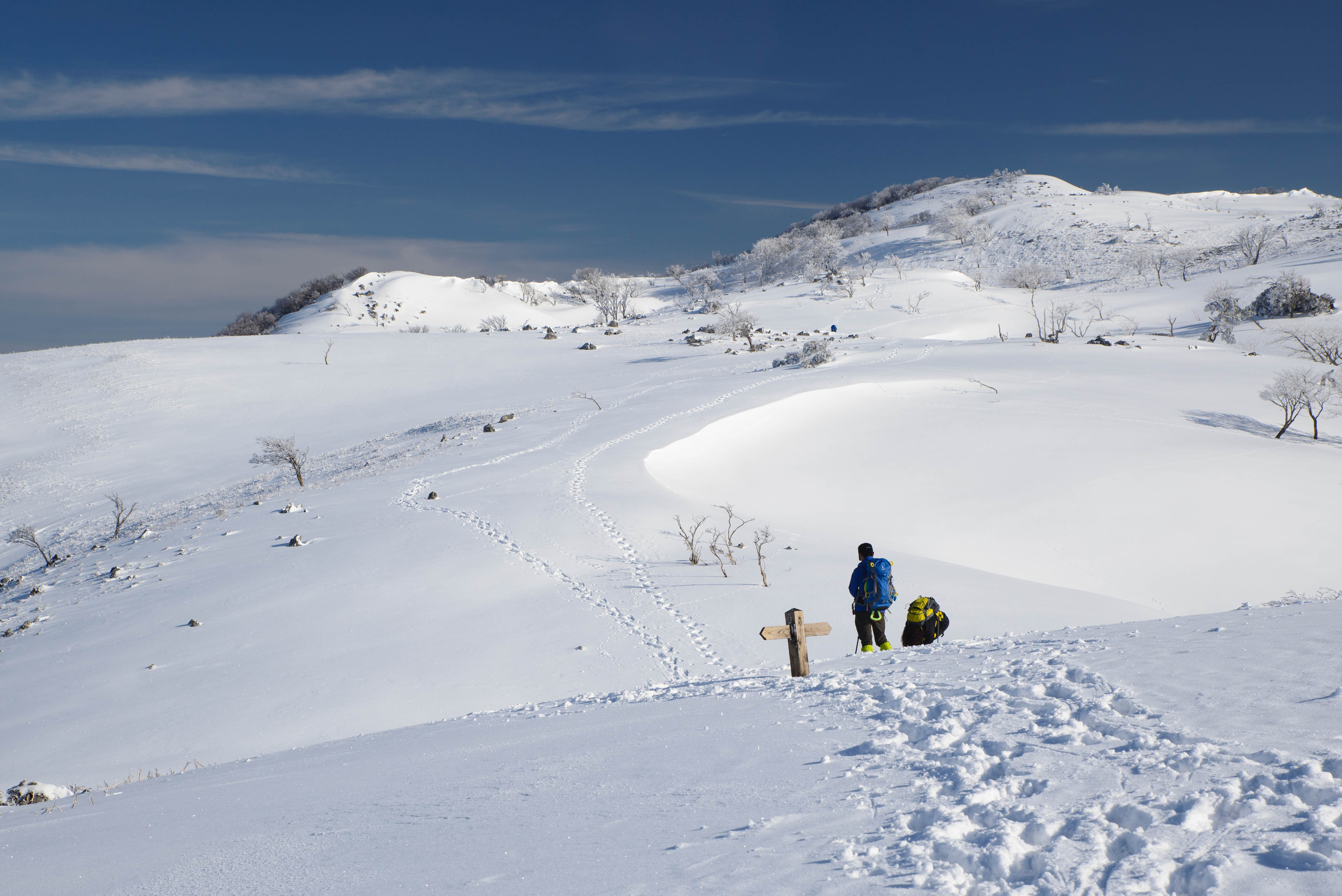
続く足跡
伊吹山がこんにちは
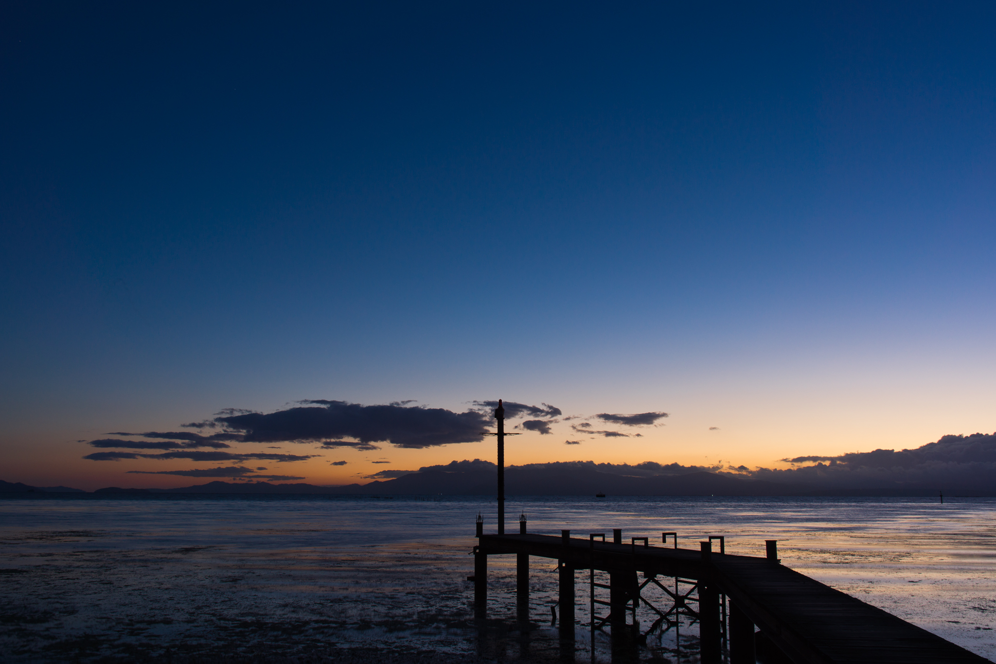
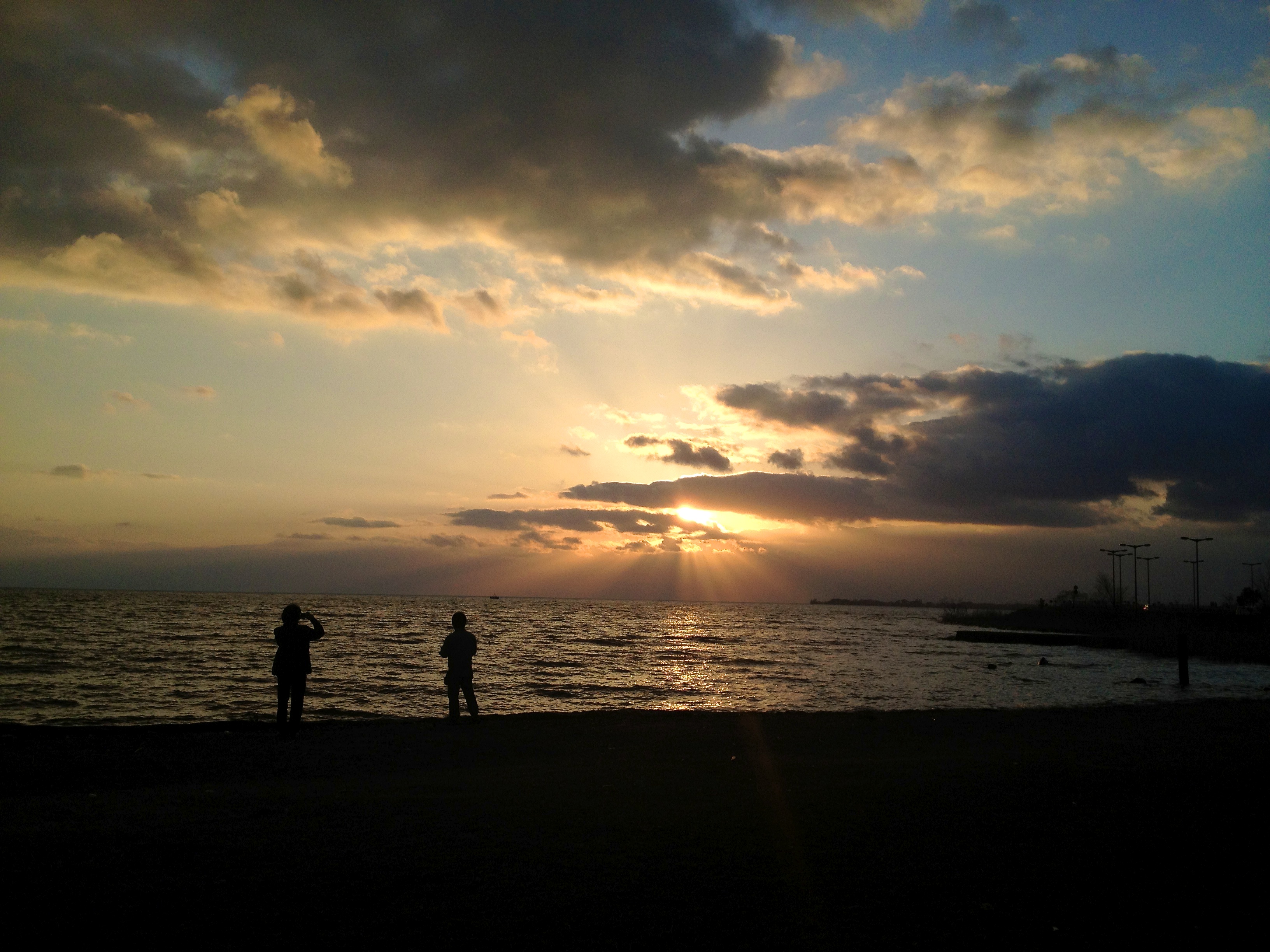
autumn sunset

Tugboats.

美しくて見とれる
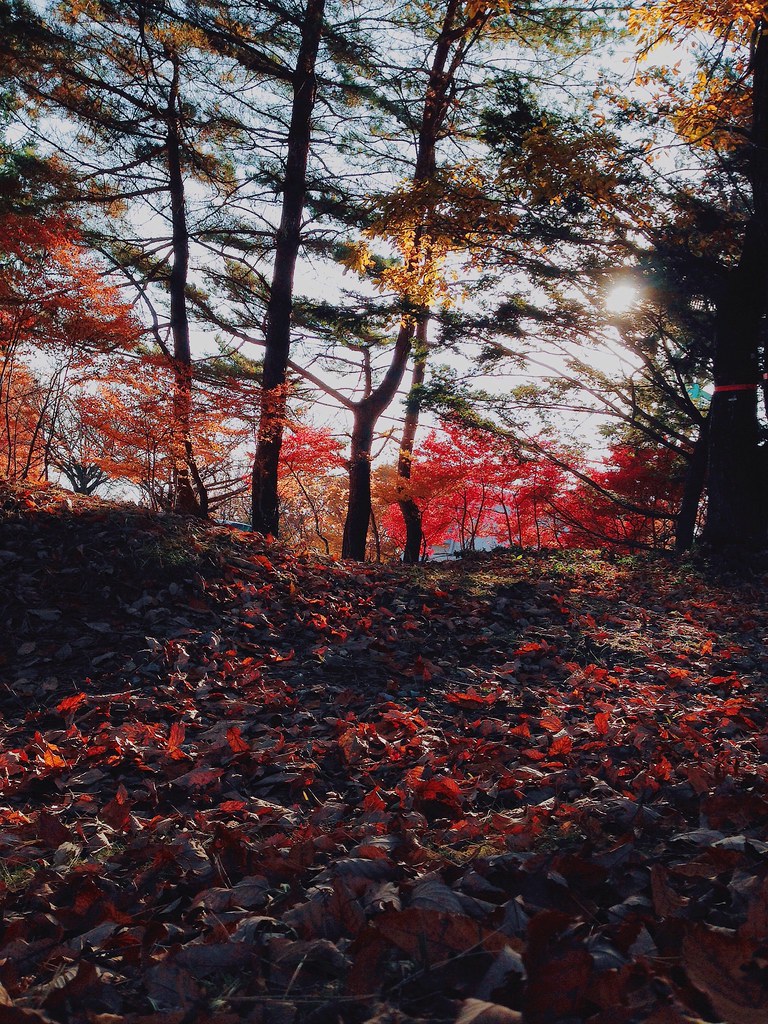
Colorful forest.
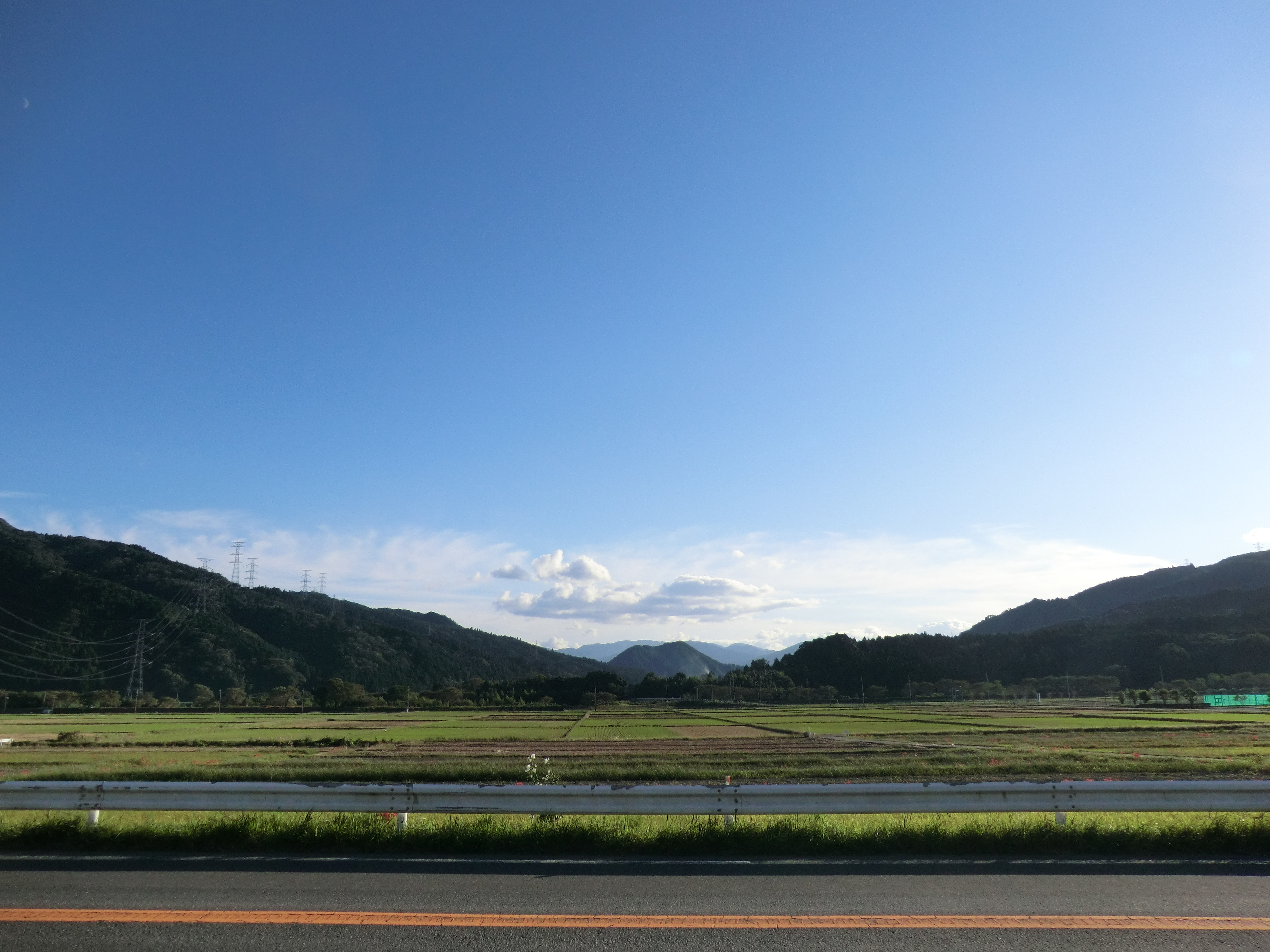
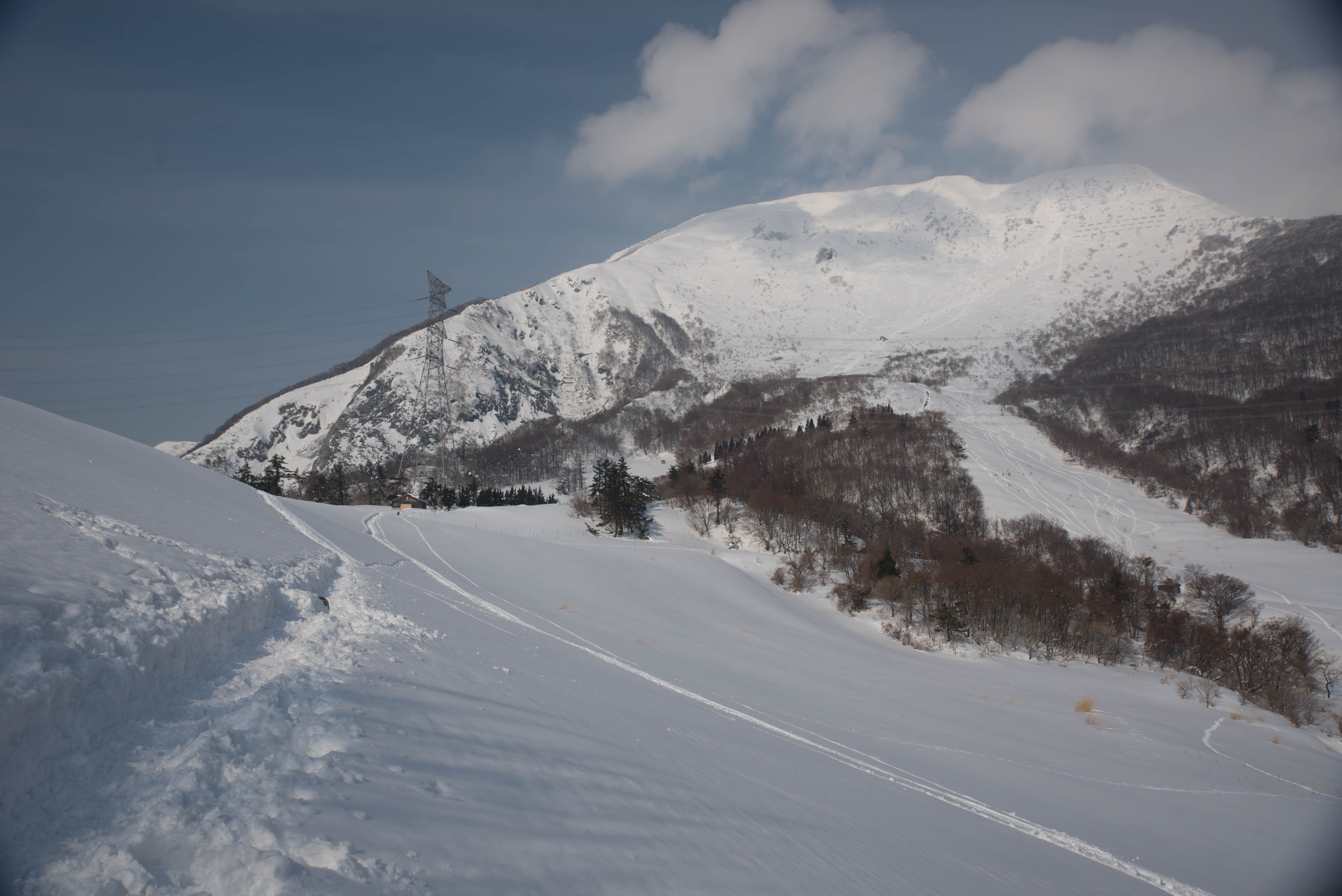
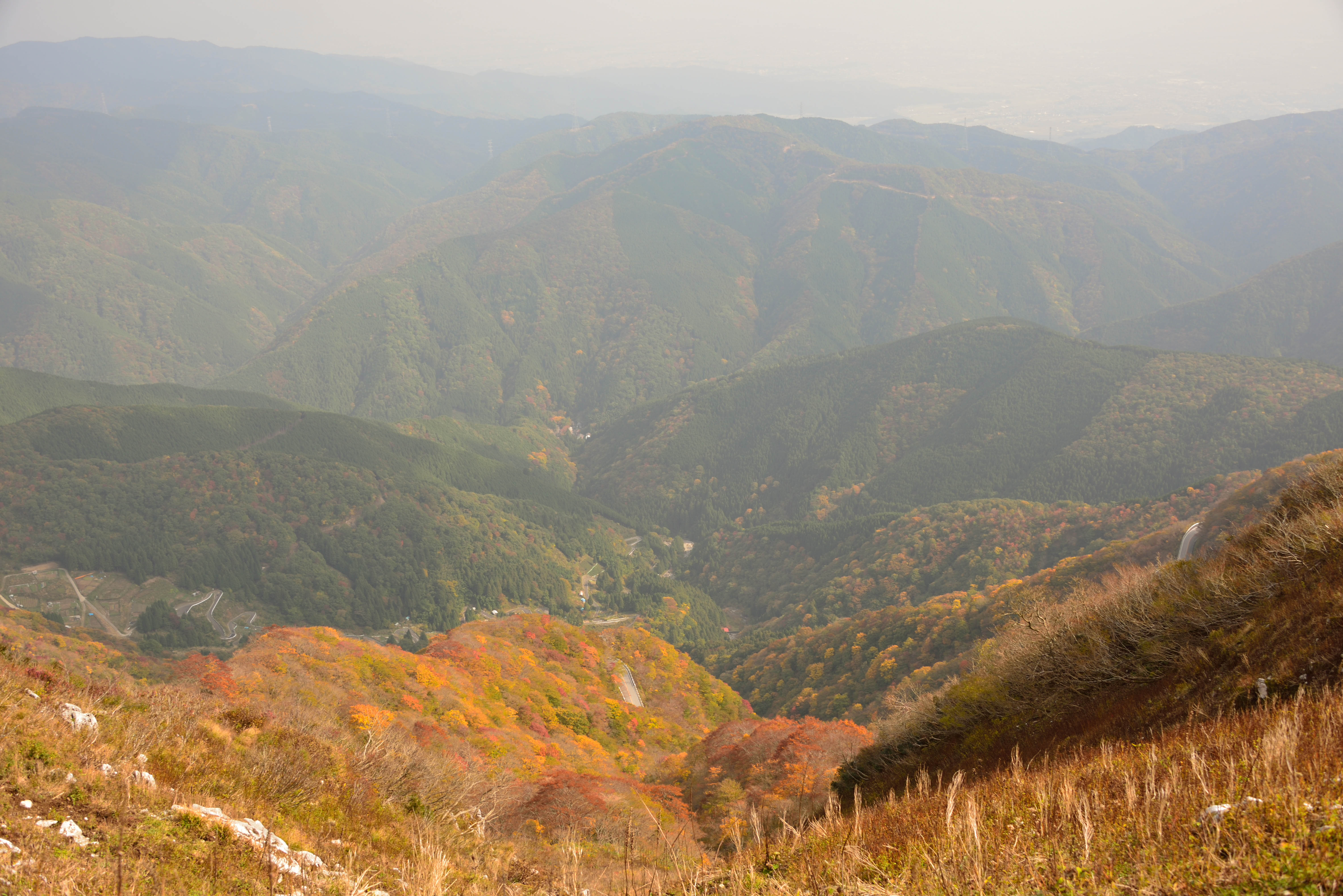
Flat valley

上まで登るのしんどかった。

滋賀、快晴!
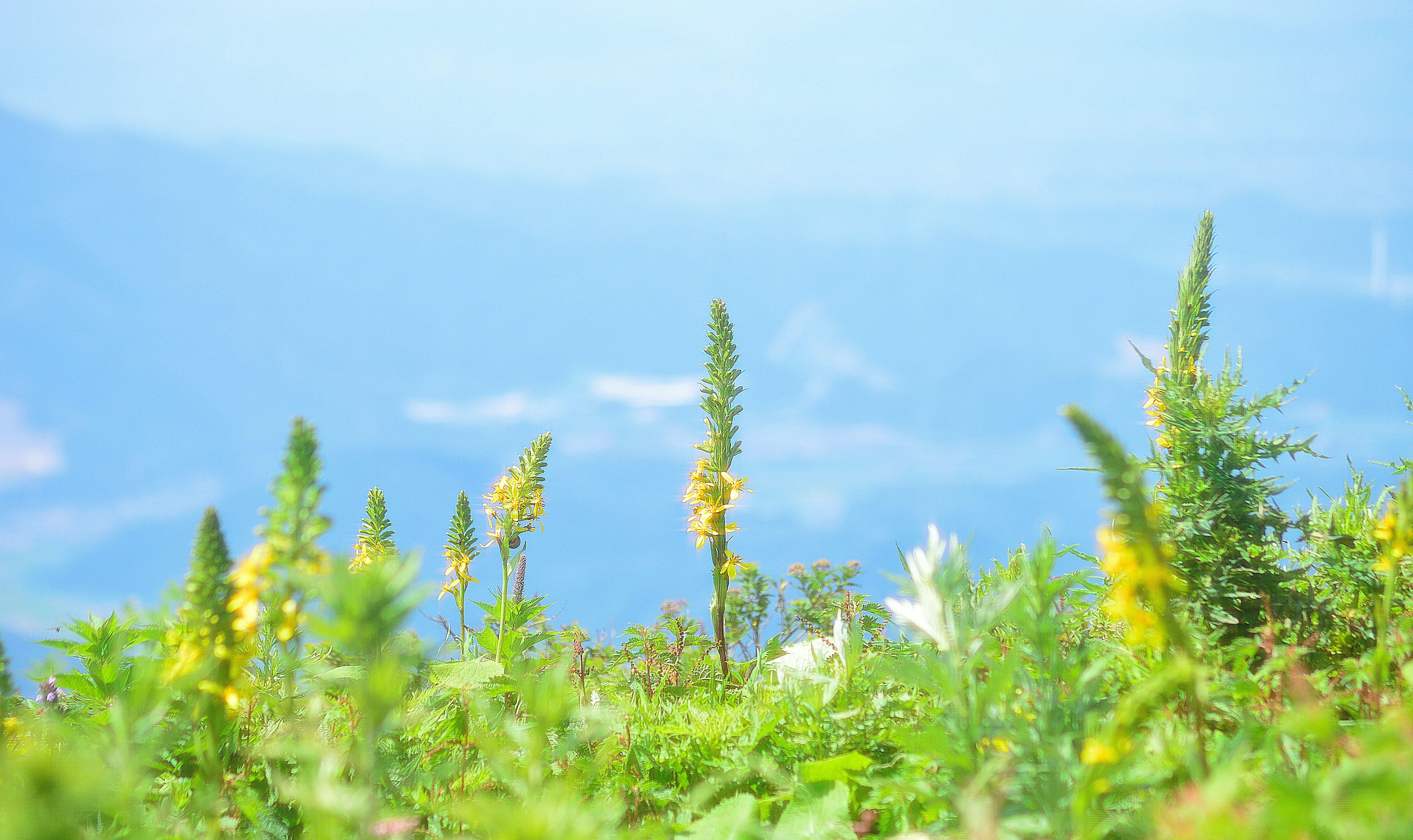
山頂

長浜市
near Minamigofukuchou
2012-04-14 18-03-37

同じ日なのにこんなに天気が違うとは
信州
米川
伊吹山
伊吹山10・Mt.Ibuki
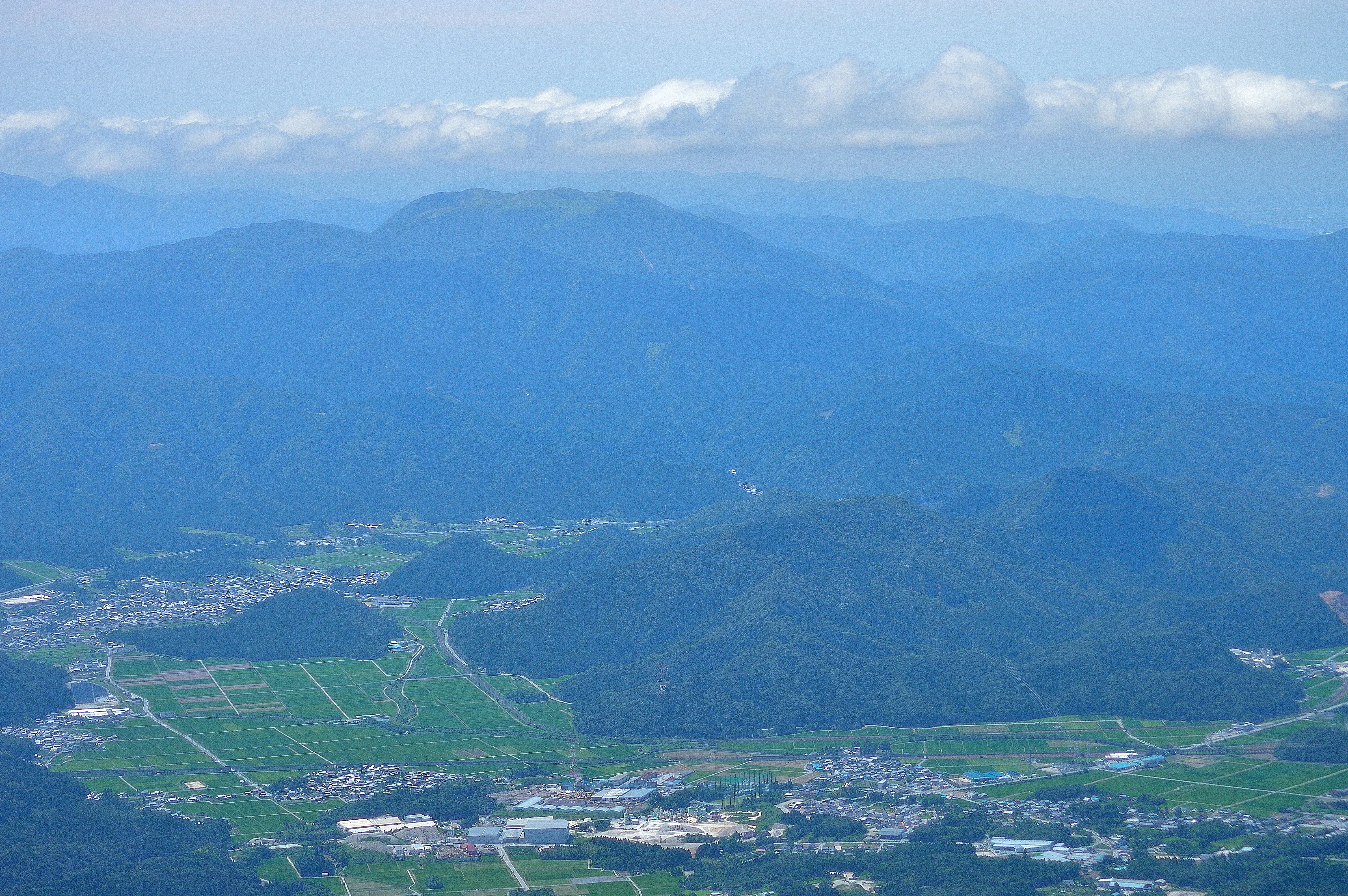
Not clear
Topographic Map of Suijō, Maibara-shi, Shiga-ken -, Japan
Find elevation by address:

Places near Suijō, Maibara-shi, Shiga-ken -, Japan:
Maibara
1632 Ōkubo
2227 Kashiwabara
中山道柏原宿火消御用処
-4 Samegai, Maibara-shi, Shiga-ken -, Japan
Otatsumicho
Gōdo, Maibara-shi, Shiga-ken -, Japan
Kaminyū, Maibara-shi, Shiga-ken -, Japan
Banba, Maibara-shi, Shiga-ken -, Japan
Nagahama
7-14 Minamitakadachō, Nagahama-shi, Shiga-ken -, Japan
Maibara Station
11 Gomura, Nagahama-shi, Shiga-ken -, Japan
3 Chome-3 Shimotara, Maibara-shi, Shiga-ken -, Japan
Toriimotochō, Hikone-shi, Shiga-ken -, Japan
Nanbachō, Nagahama-shi, Shiga-ken -, Japan
Iso, Maibara-shi, Shiga-ken -, Japan
Kohokuchō Hayami, Nagahama-shi, Shiga-ken -, Japan
1090 Matsubarachō
ラーゴアラーゴ
Recent Searches:
- Elevation of Corso Fratelli Cairoli, 35, Macerata MC, Italy
- Elevation of Tallevast Rd, Sarasota, FL, USA
- Elevation of 4th St E, Sonoma, CA, USA
- Elevation of Black Hollow Rd, Pennsdale, PA, USA
- Elevation of Oakland Ave, Williamsport, PA, USA
- Elevation of Pedrógão Grande, Portugal
- Elevation of Klee Dr, Martinsburg, WV, USA
- Elevation of Via Roma, Pieranica CR, Italy
- Elevation of Tavkvetili Mountain, Georgia
- Elevation of Hartfords Bluff Cir, Mt Pleasant, SC, USA