Elevation of Sugar Grove Township, PA, USA
Location: United States > Pennsylvania > Mercer County >
Longitude: -80.354728
Latitude: 41.4450776
Elevation: 298m / 978feet
Barometric Pressure: 98KPa
Elevation Map:
Satellite Map:
Related Photos:
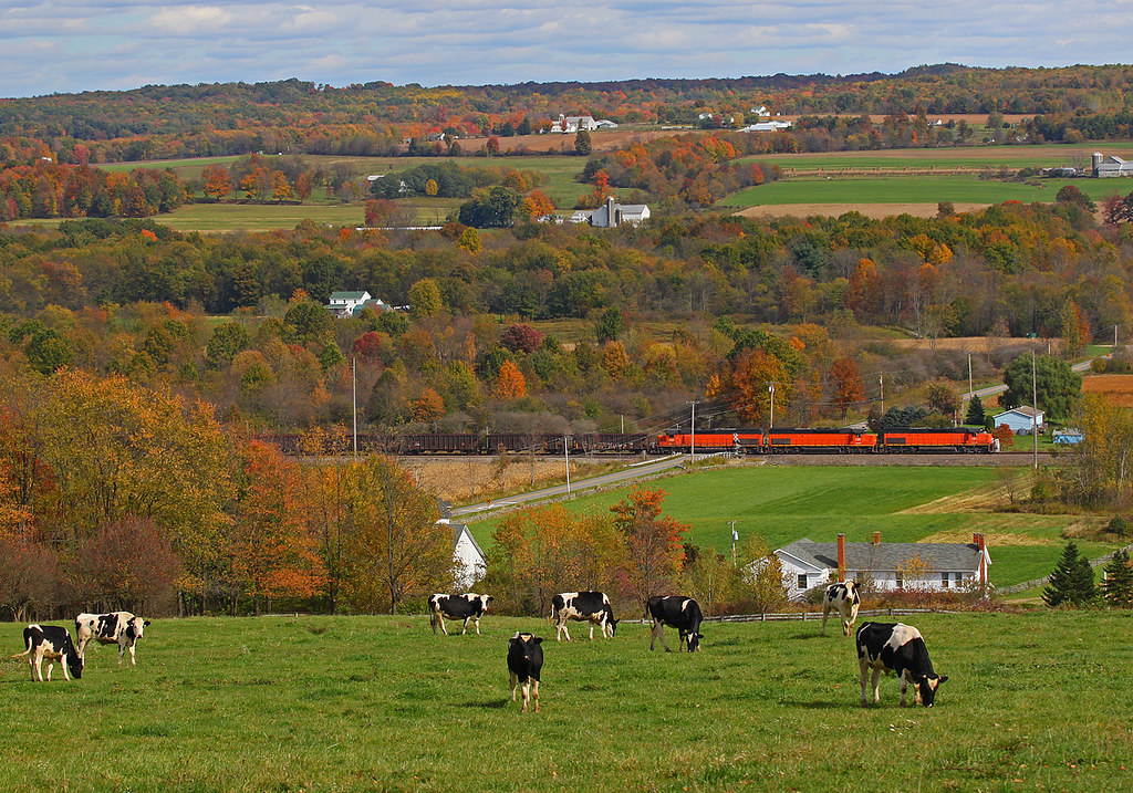
The Perfect View
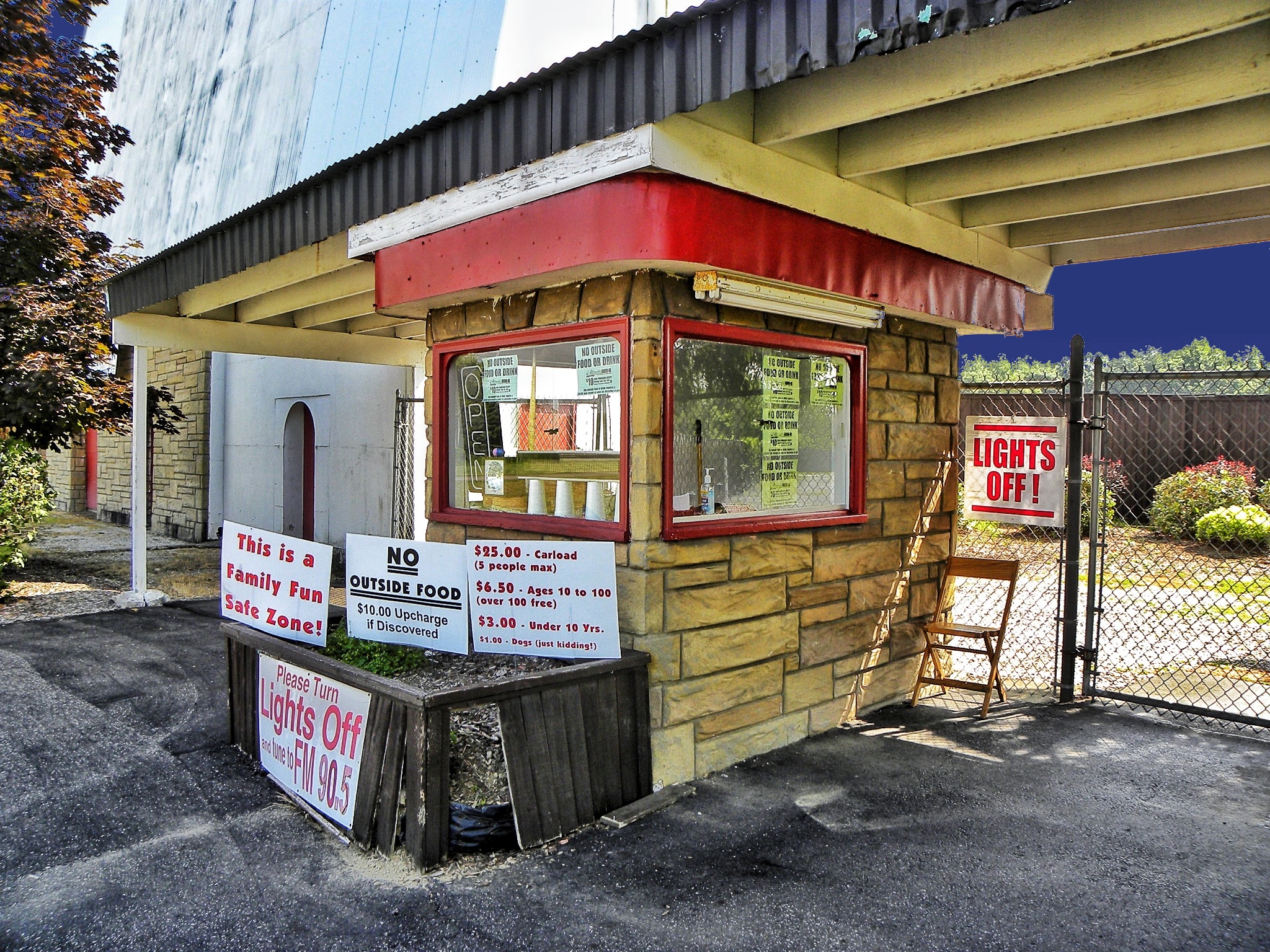
Reynold's Drive-in ~ Ticket Booth ~ Transfer, PA ~ USA
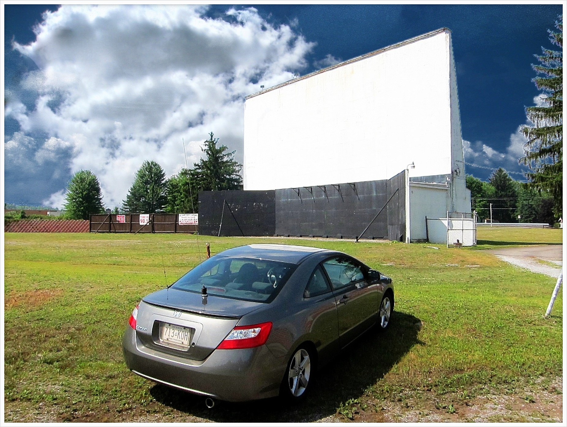
Reynold's Drive-in ~ Screen ~ Transfer, PA ~ USA
best view in the world
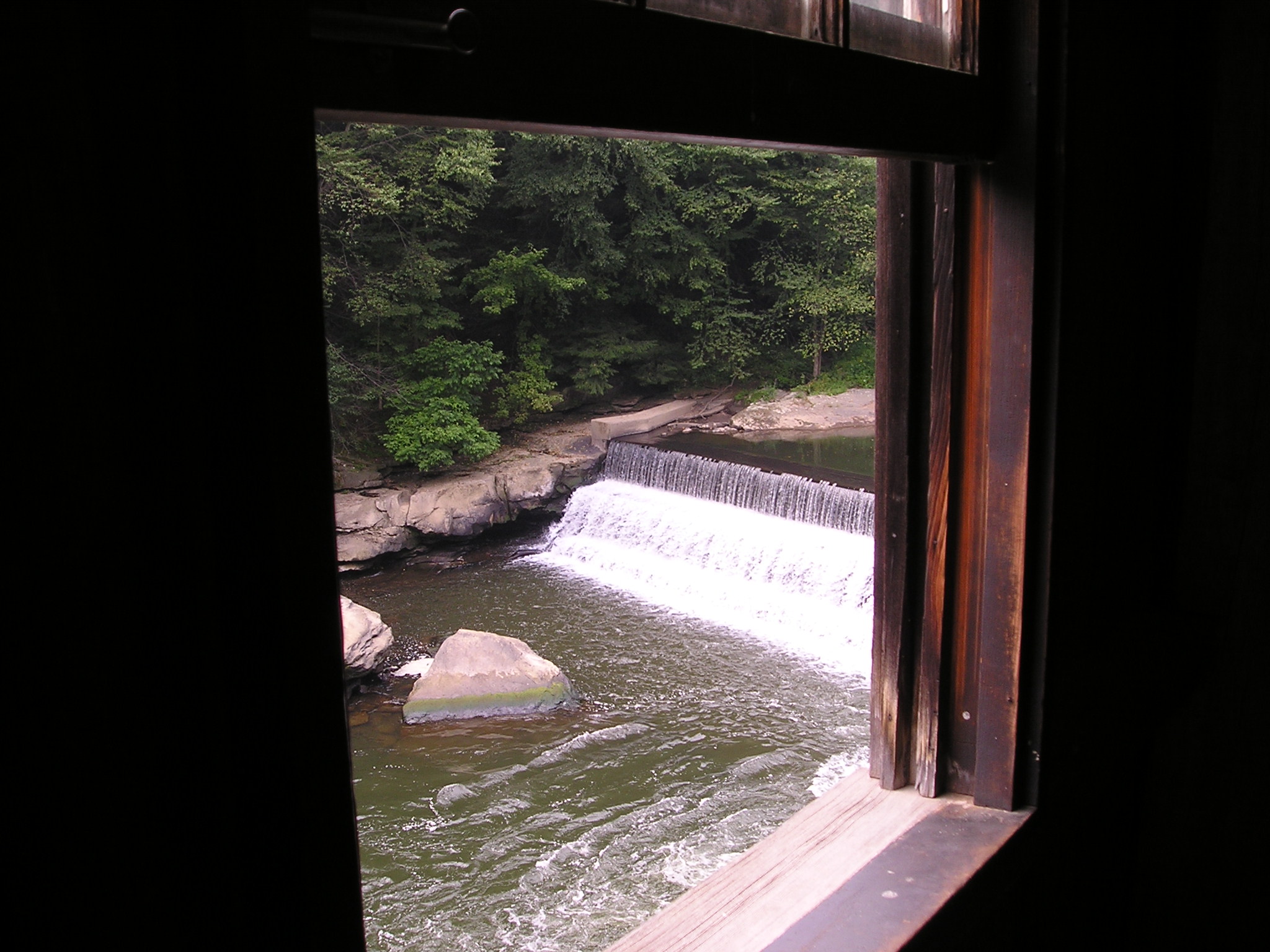
View out Mill

Not a bad campsite view!
Dipping Down and Out of Sight
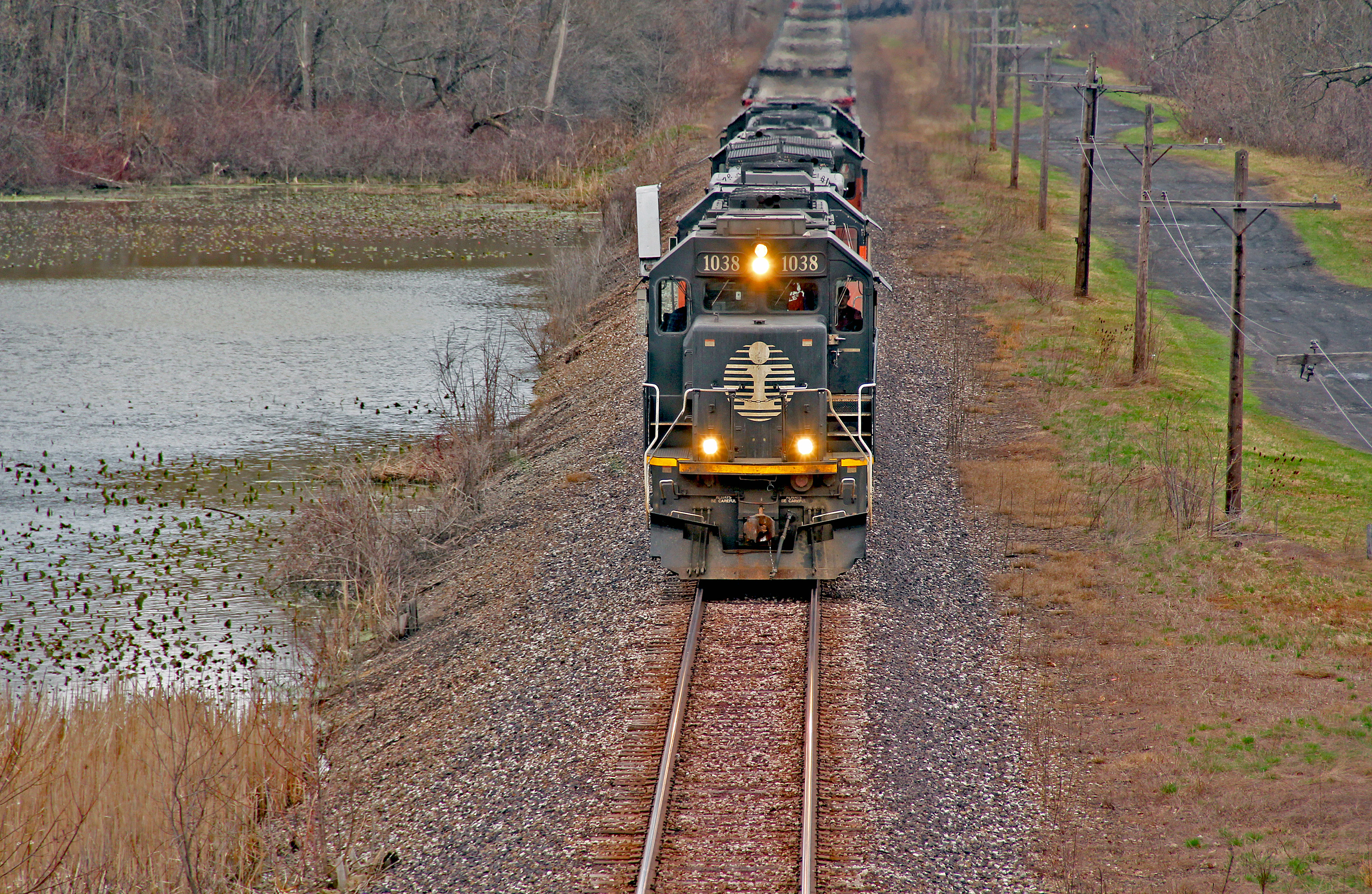
Another Bessemer Chase: 10
Another Bessemer Chase: 11
Maybe Someday: 1
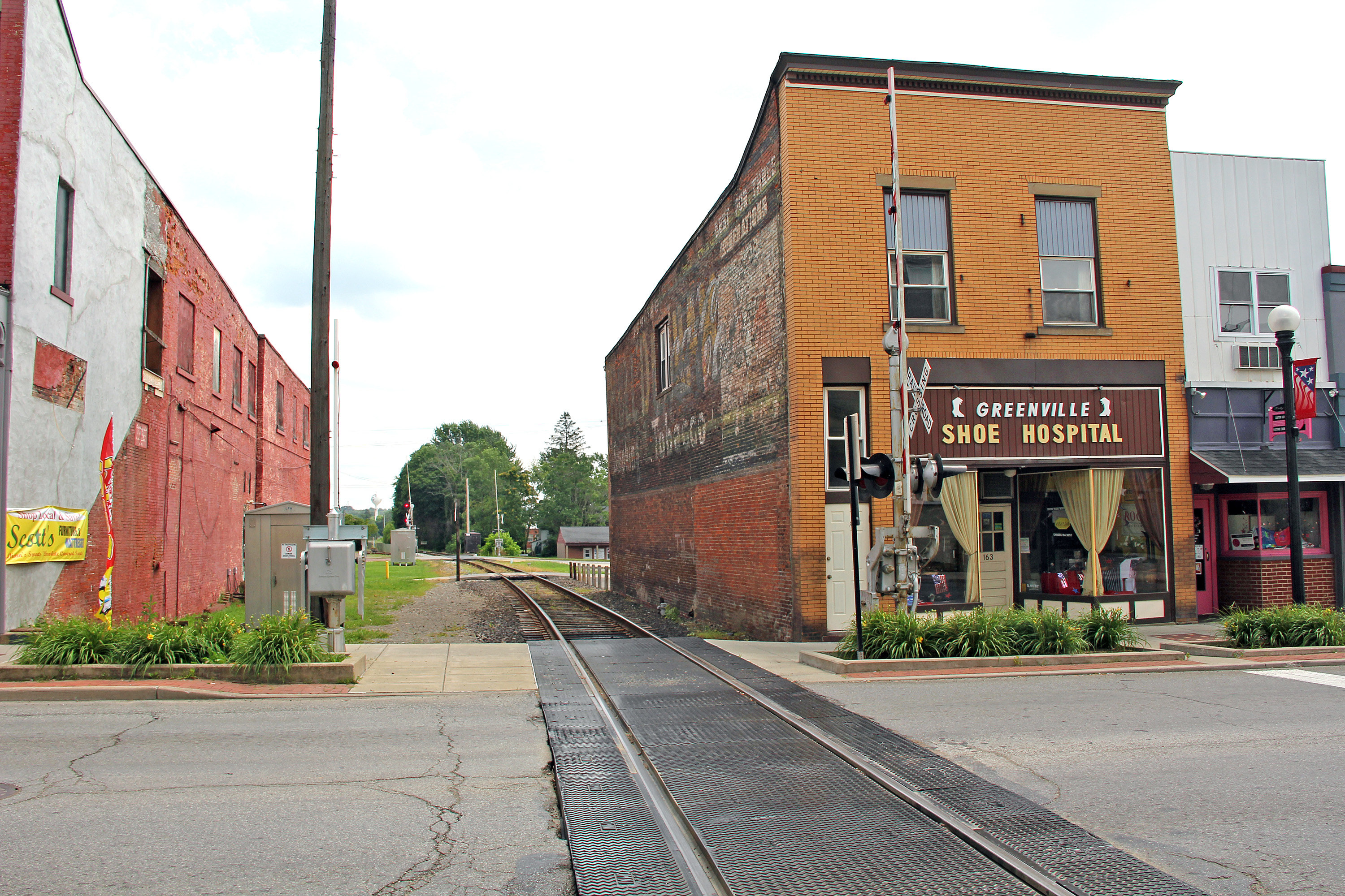
Grandeur in Greenville: 1
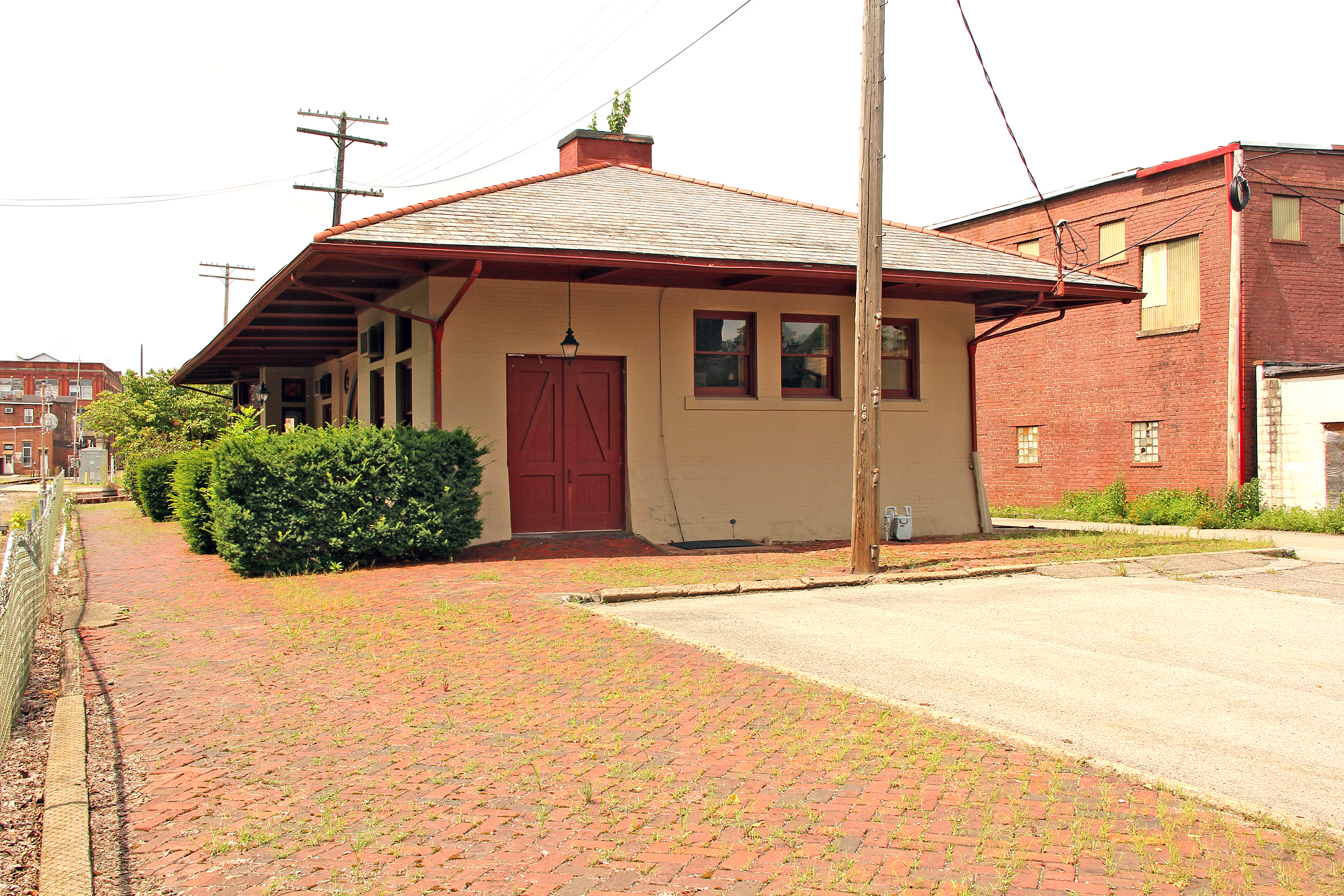
Grandeur in Greenville: 2
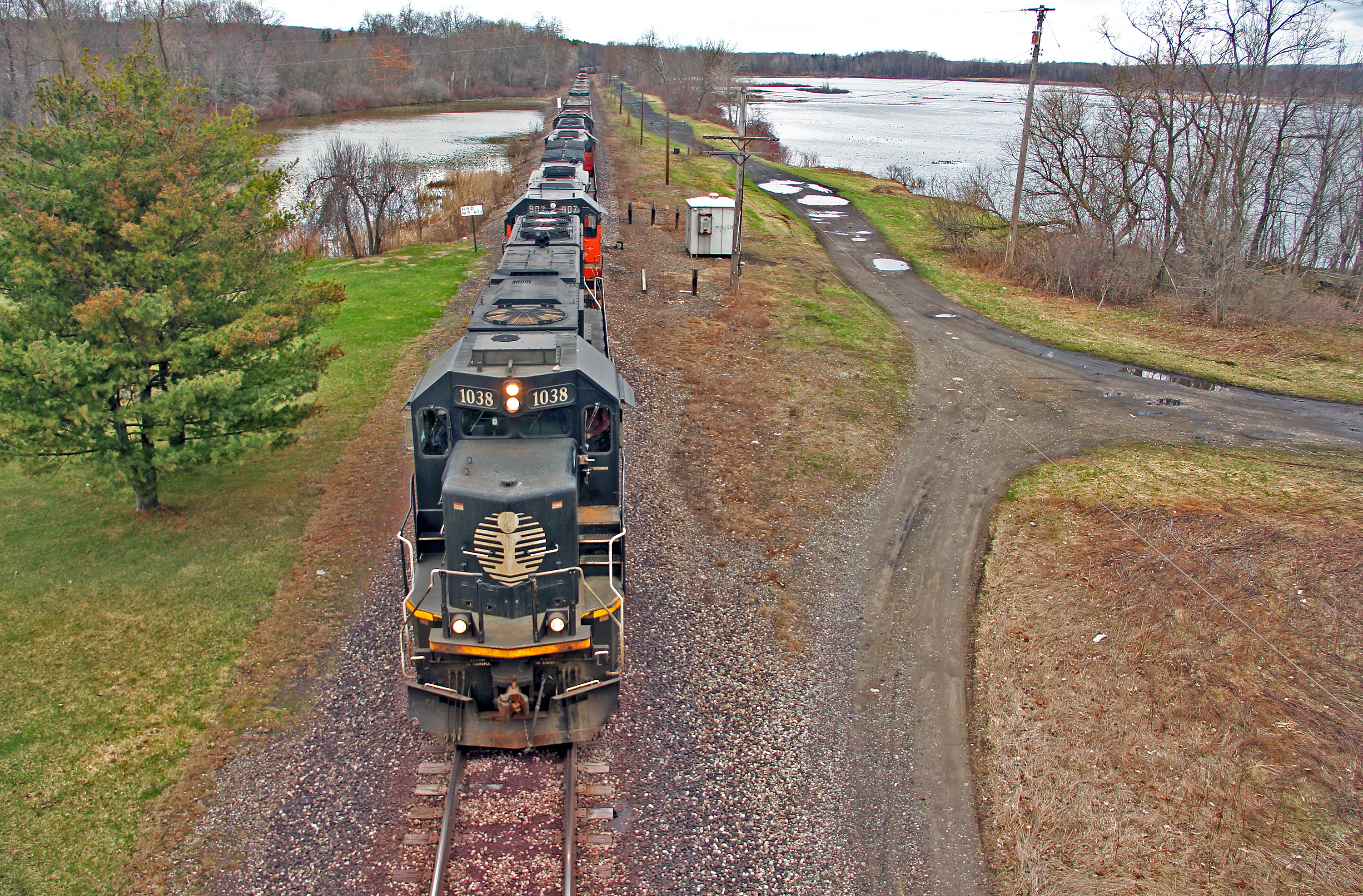
IC on Bessemer: 8
Maybe Someday: 2
view back to the barn
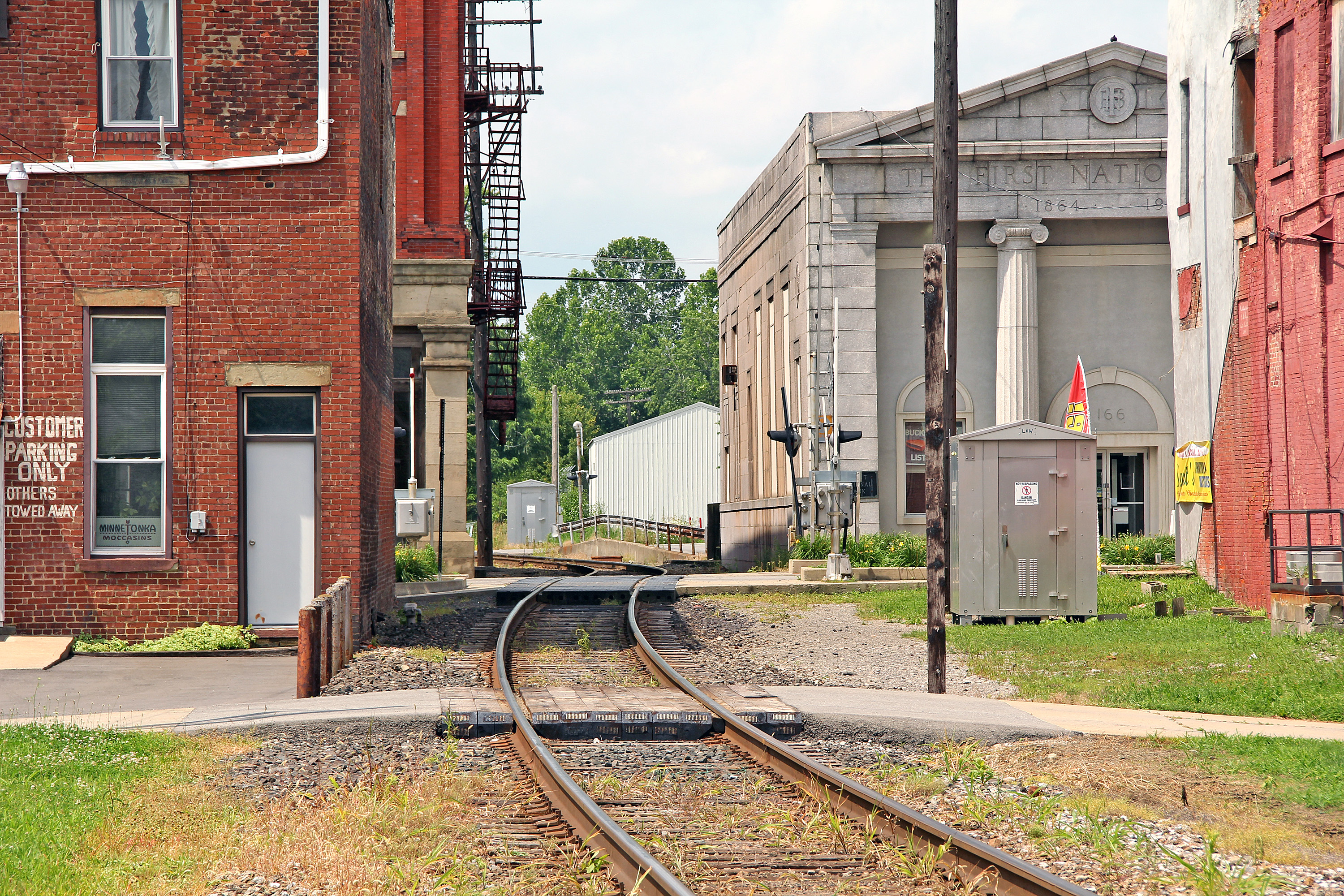
IC on Bessemer: 7
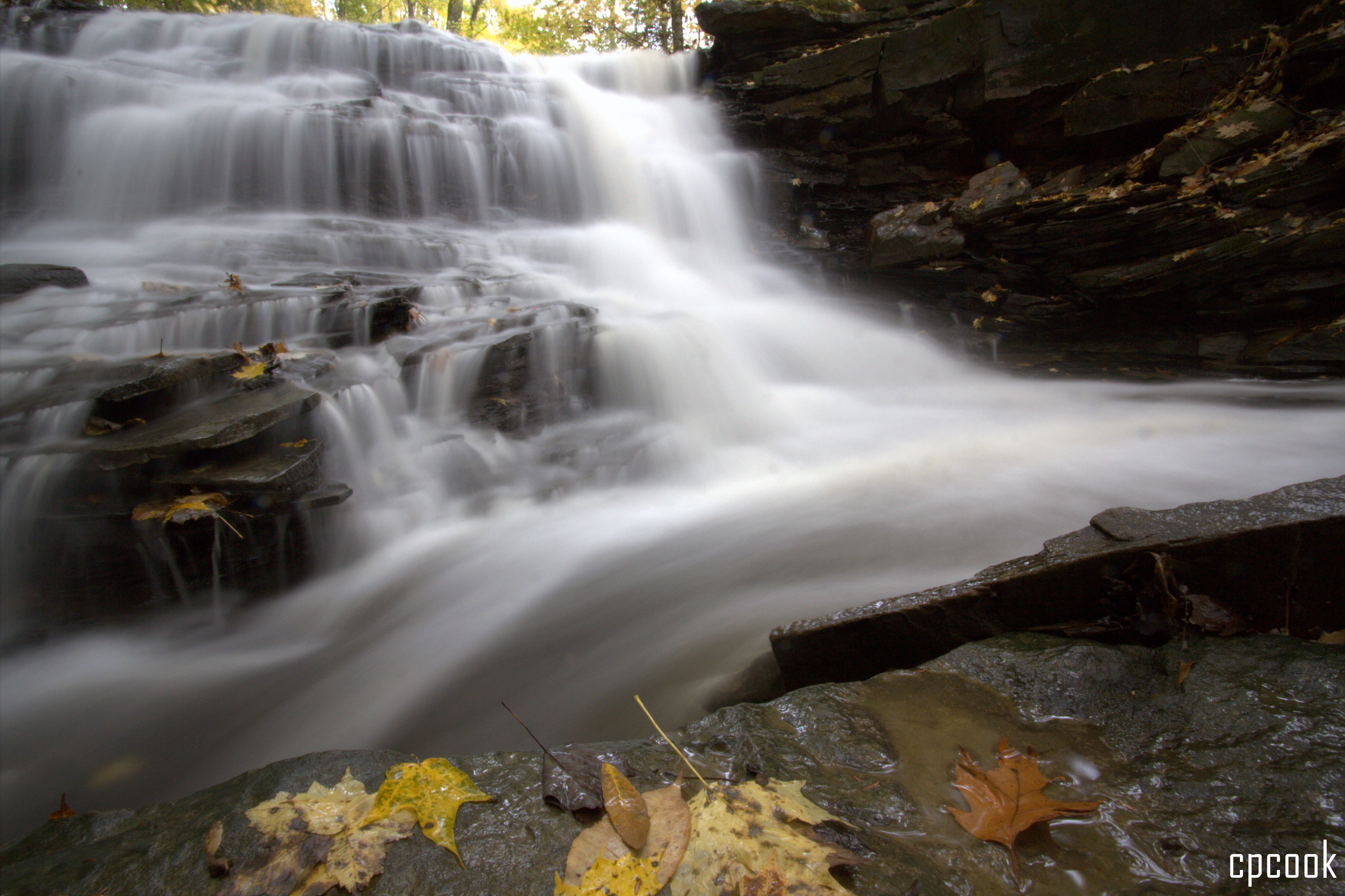
Waterfall in the fall
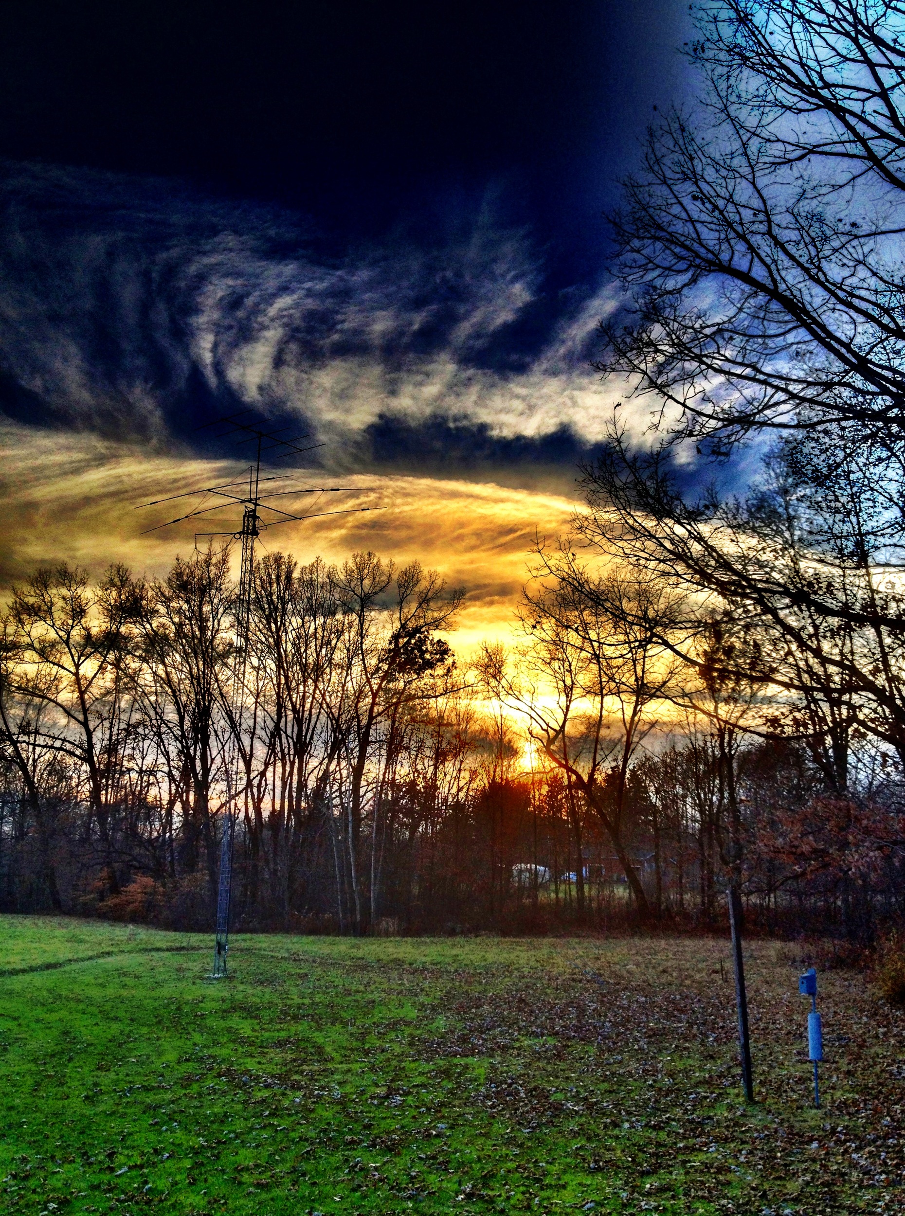
Changing Skies at Sunset (in HDR)
Sunset in HDR
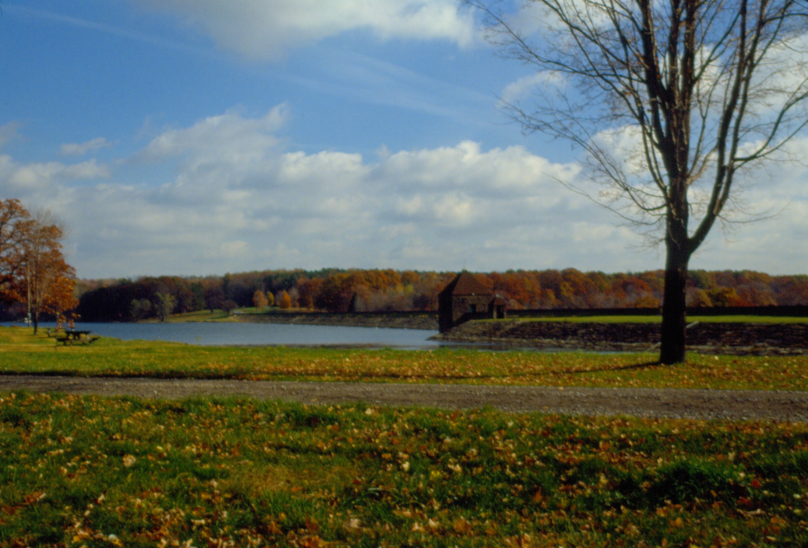
0003 Pymatuning Dam Img28_15

Leaves at their peak

0006 Pymatuning Img28_18
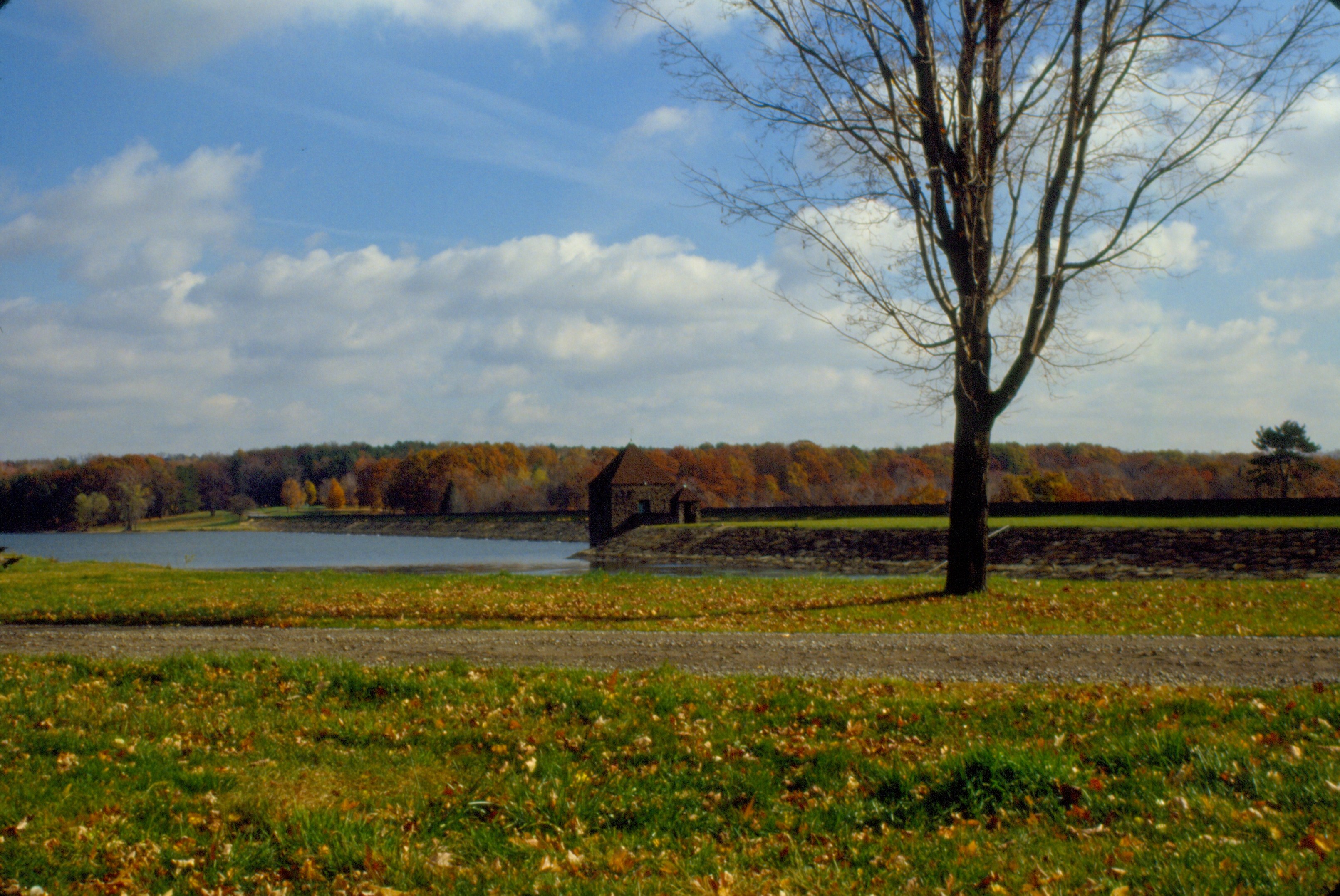
0002 Pymatuning Dam Img28_14
Beautiful Clouds

Lincoln's Sparrow

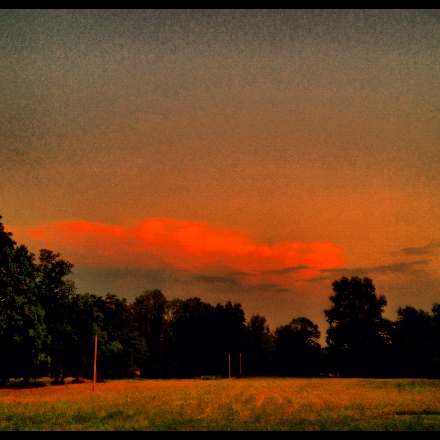
Storm, Sunset Over Cornfield
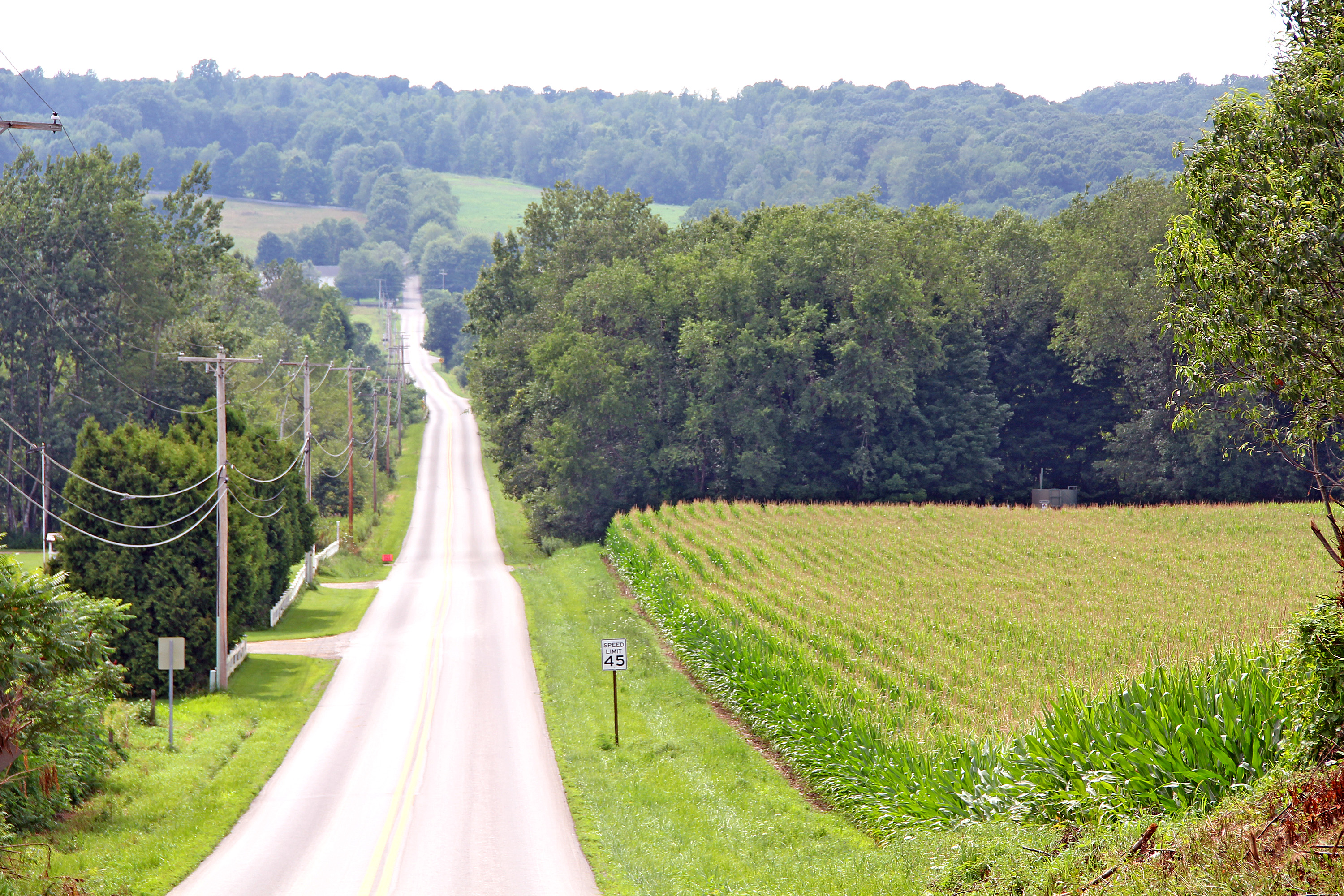
910 South, seen from Gruber Road
Stormy skies
Adamsville pond shot
Sunset (in HDR)
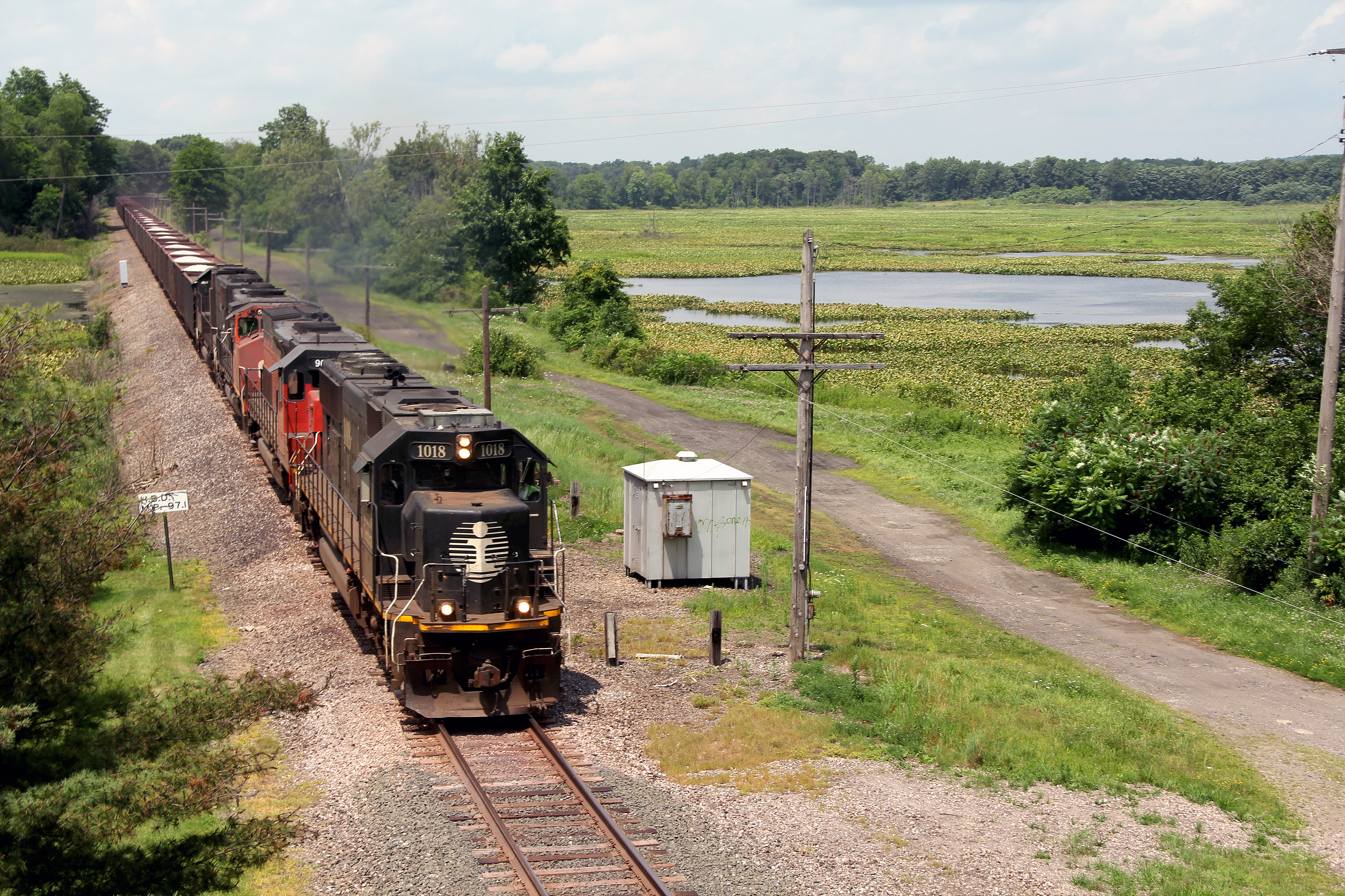
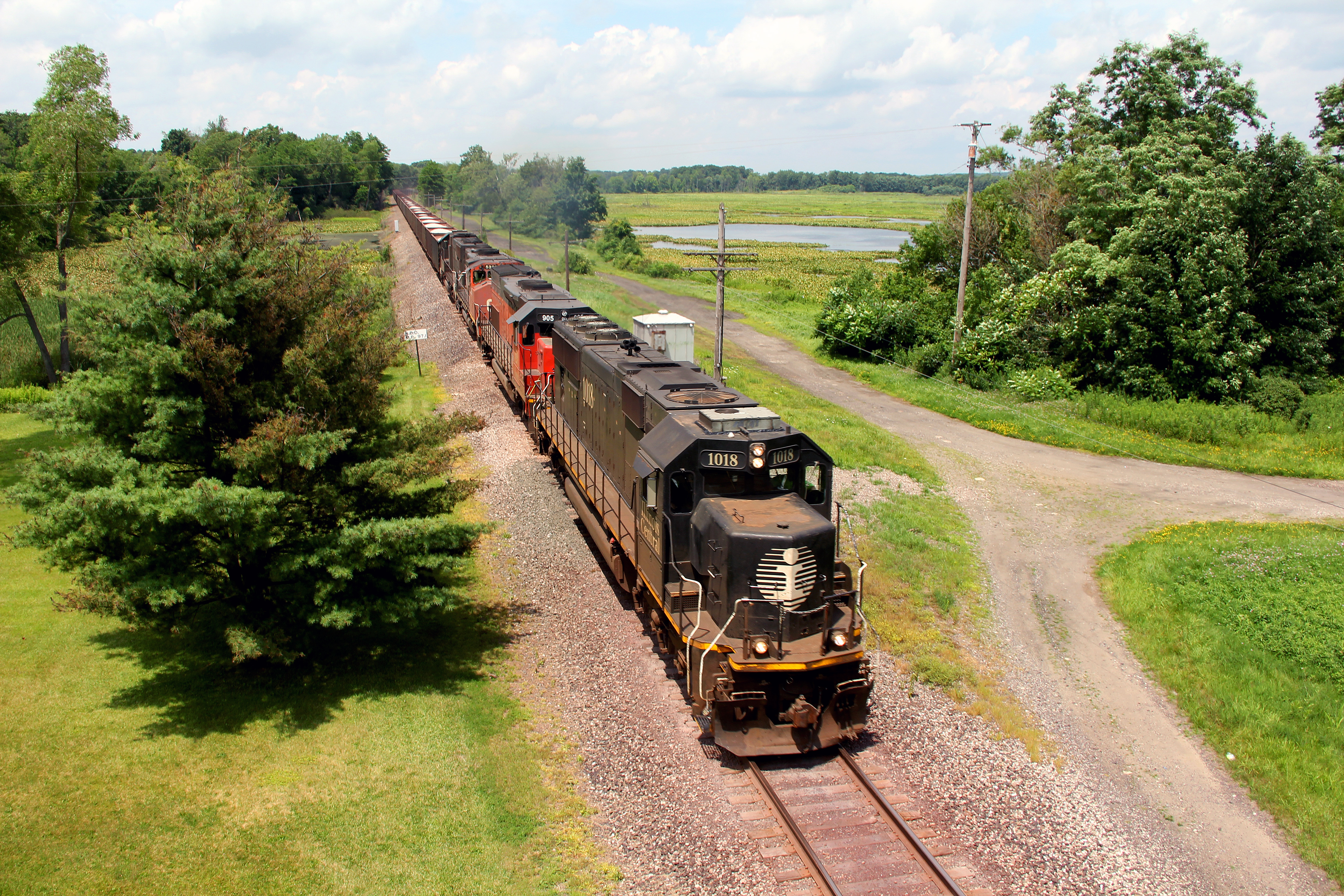
905 South at Adamsville
Sun and Clouds through the trees - HDR
A blue lake stretches toward the horizon at Pymatuning State Park, Pennsylvania.

Least Flycatcher

McEwen Falls
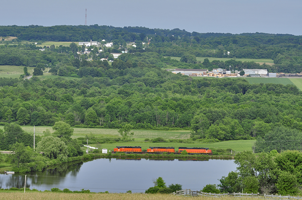
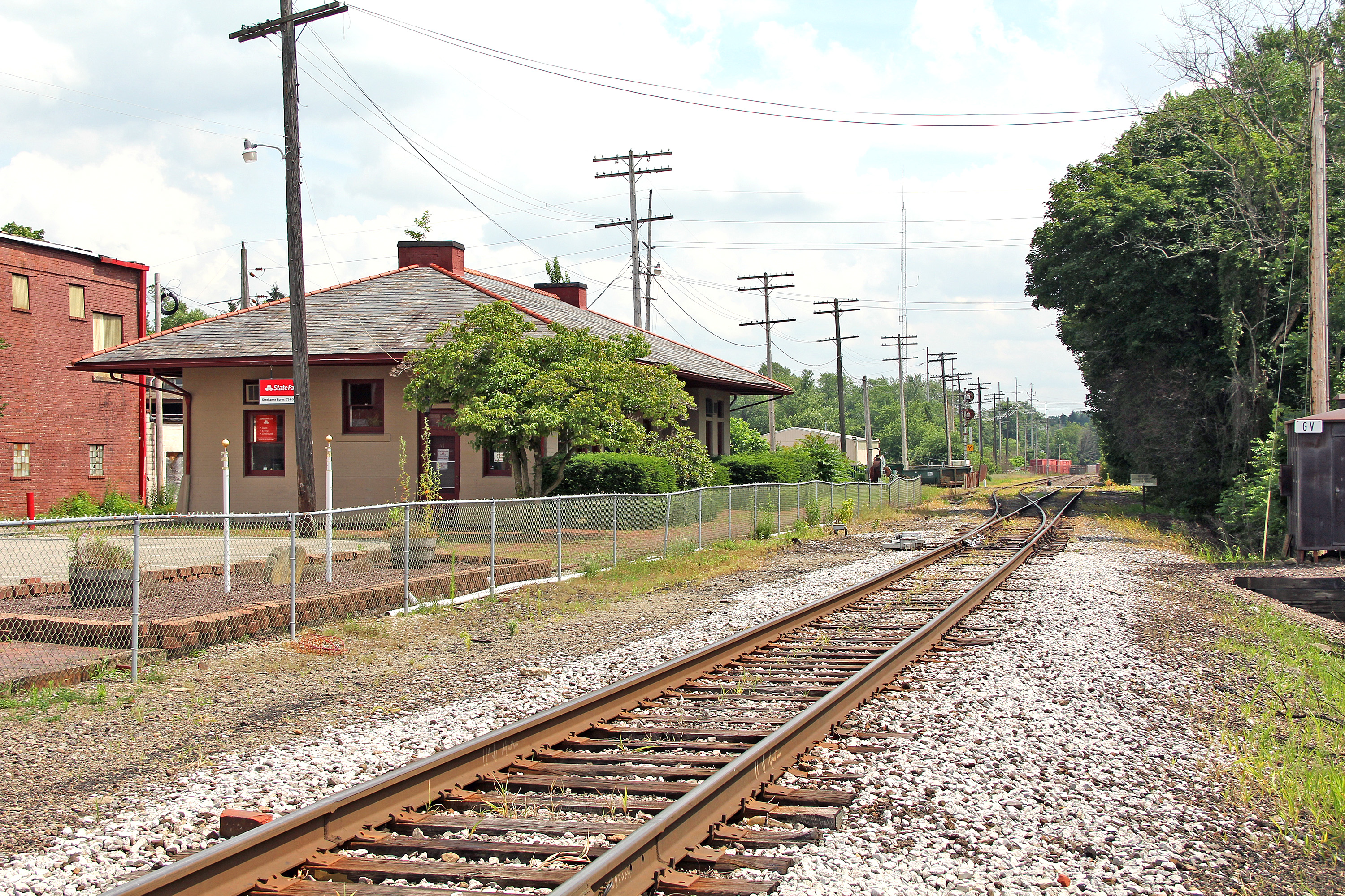
Bessemer Across the Valley
Topographic Map of Sugar Grove Township, PA, USA
Find elevation by address:

Places in Sugar Grove Township, PA, USA:
Places near Sugar Grove Township, PA, USA:
Conneaut Lake Rd, Greenville, PA, USA
Conneaut Lake Rd, Adamsville, PA, USA
471 Hadley Rd
Greenville
Salem Township
Stevenson Rd, Greenville, PA, USA
East Fallowfield Township
Jamestown
610 Main St
117 Bean Rd
Hartstown
517 Moss Ln
Delaware Township
7306 Aspen Trail
South Shenango Township
2660 Williamsfield Rd
Hadley
Pymatuning Township
Pymatuning South
Mercer Rd, Fredonia, PA, USA
Recent Searches:
- Elevation of Corso Fratelli Cairoli, 35, Macerata MC, Italy
- Elevation of Tallevast Rd, Sarasota, FL, USA
- Elevation of 4th St E, Sonoma, CA, USA
- Elevation of Black Hollow Rd, Pennsdale, PA, USA
- Elevation of Oakland Ave, Williamsport, PA, USA
- Elevation of Pedrógão Grande, Portugal
- Elevation of Klee Dr, Martinsburg, WV, USA
- Elevation of Via Roma, Pieranica CR, Italy
- Elevation of Tavkvetili Mountain, Georgia
- Elevation of Hartfords Bluff Cir, Mt Pleasant, SC, USA