Elevation of Sturgis Rd, Rock Hill, SC, USA
Location: United States > South Carolina > York County > Rock Hill >
Longitude: -80.926886
Latitude: 34.9426391
Elevation: 178m / 584feet
Barometric Pressure: 99KPa
Elevation Map:
Satellite Map:
Related Photos:
Into the Unknown
Riverwalk on the Catawba River

Royal Star Magnolia - 3
Golf Carts Only
Afternoon Flight
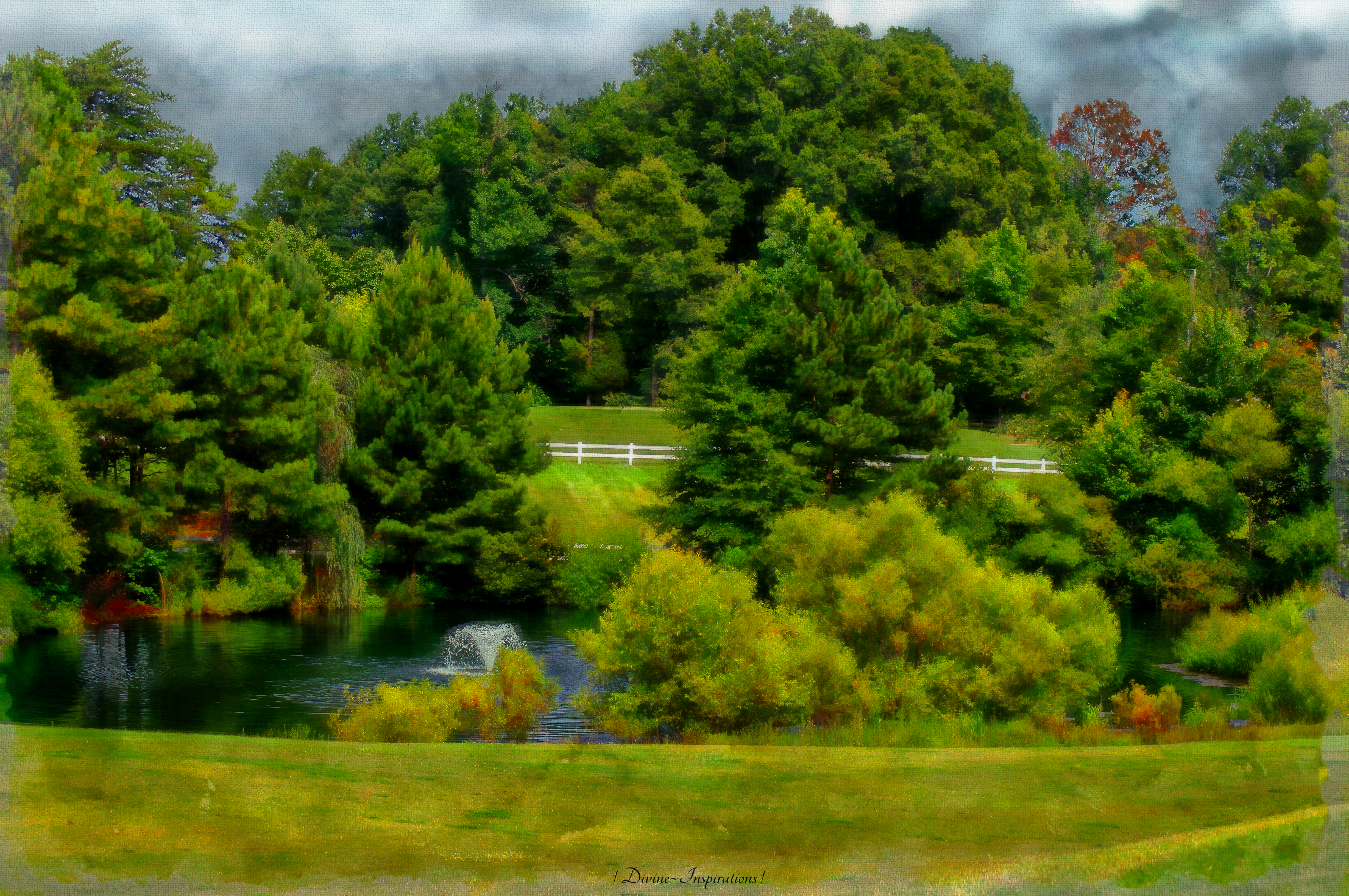
Stormy Skies

House in a Bubble

The Wonders of Nature

Hope - Explored

Passion Flower
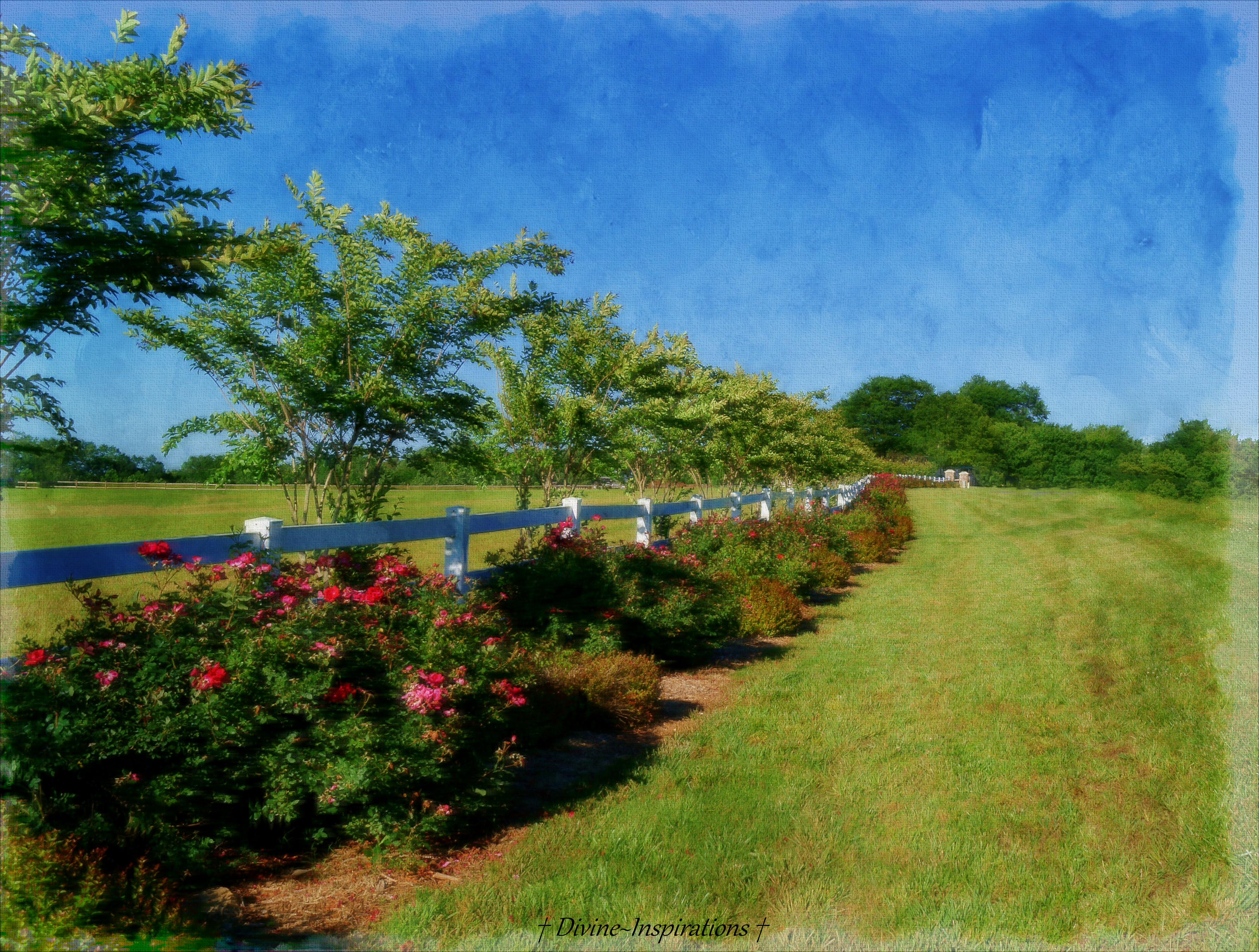
The Fence of Roses
Let There be Light

Swallowtail 8-28-2009 4

Rainbow in the Clouds - Explored

Japanese Honeysuckle

Don't Hold Me Back
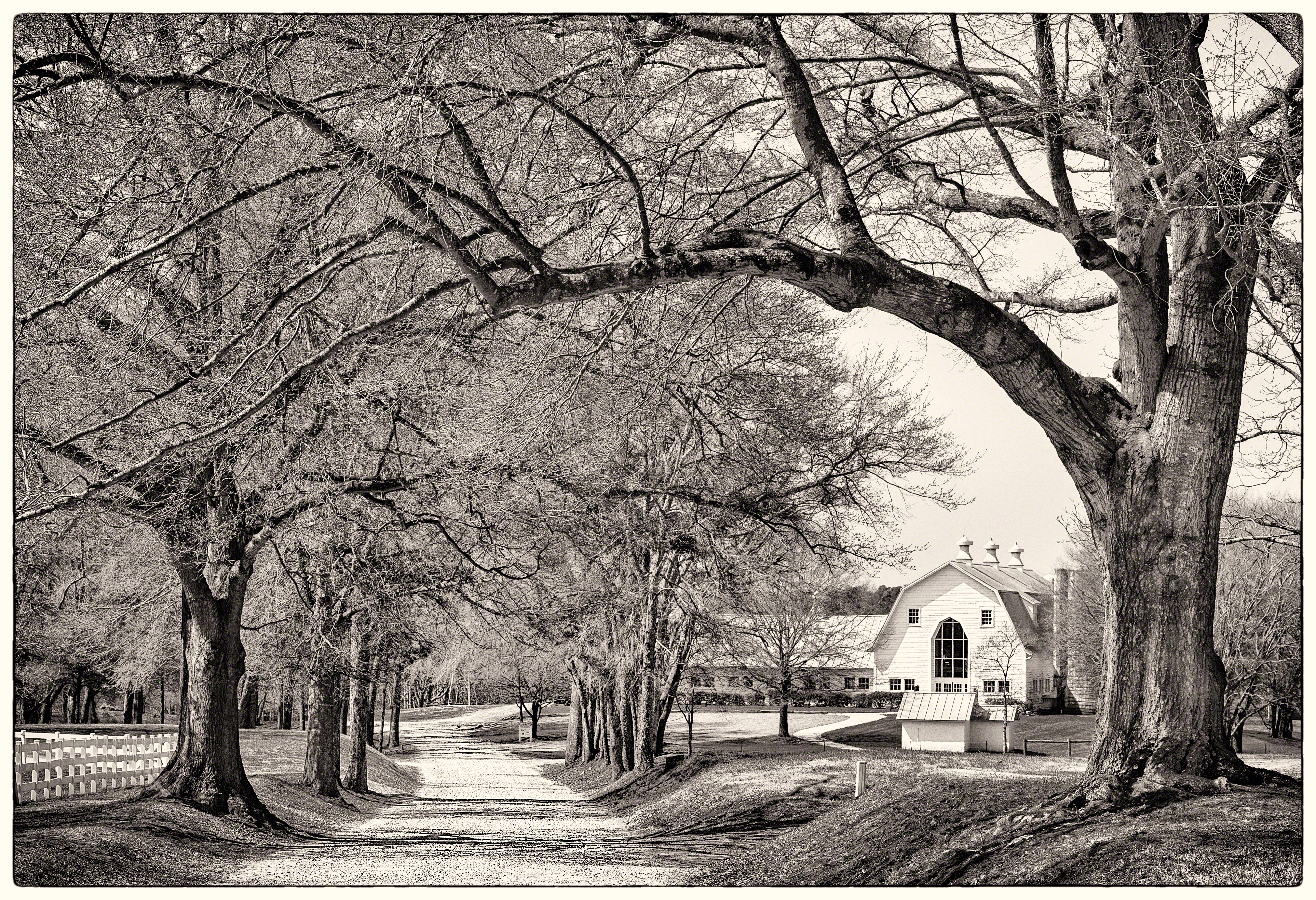
Farm through Trees

Under Attack

Bird in Snow
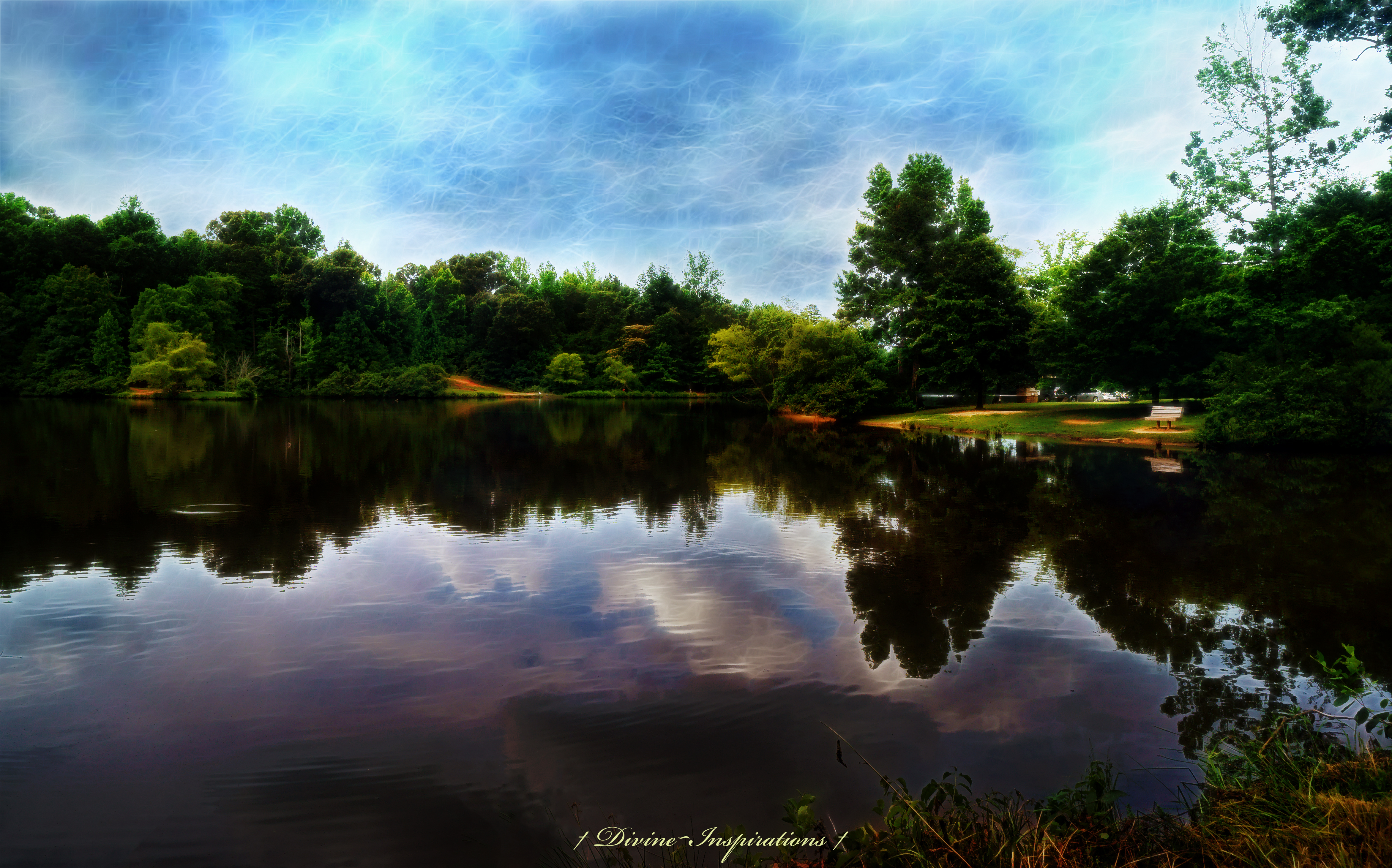
Sky Reflections
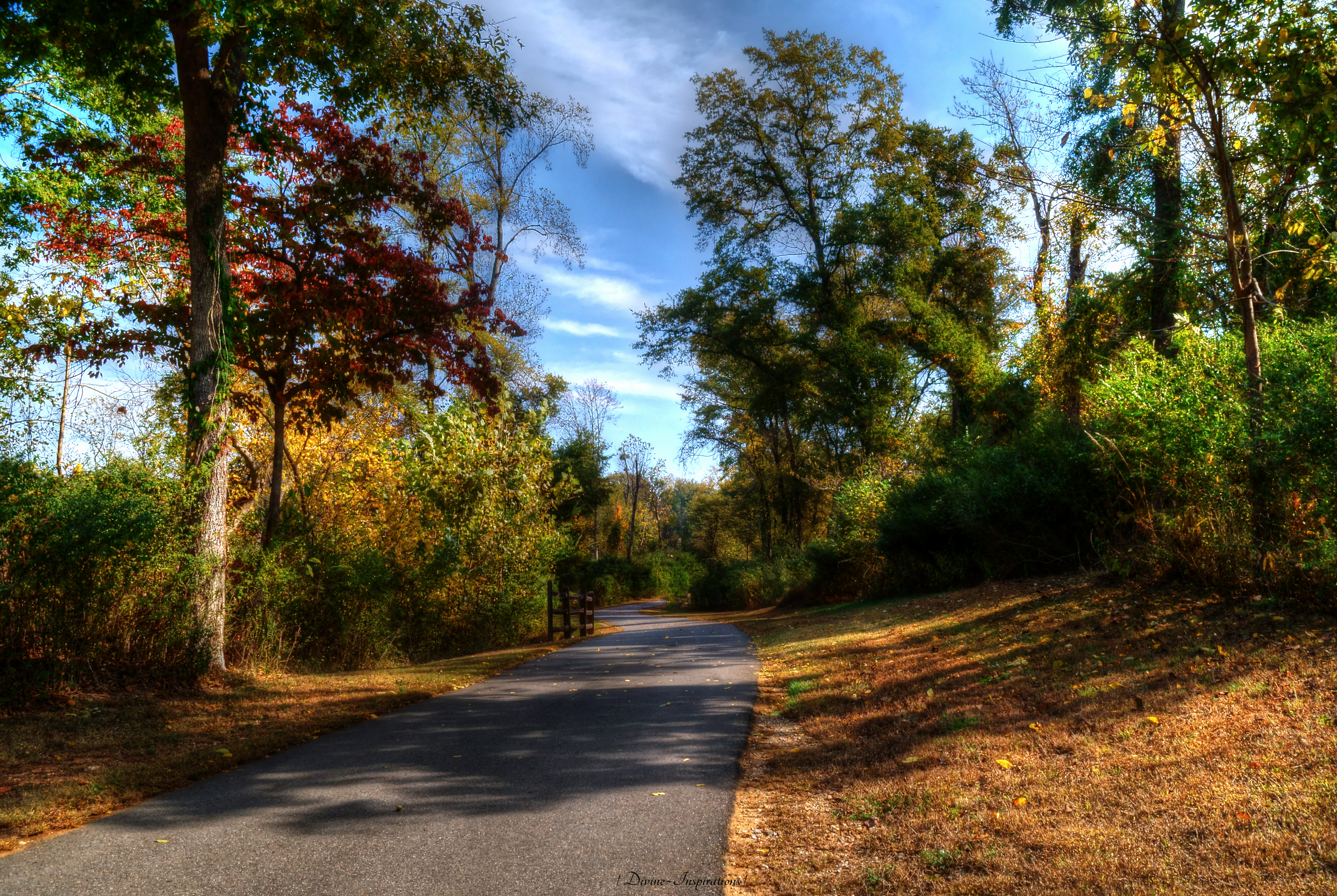
Beauty on the Banks
Topographic Map of Sturgis Rd, Rock Hill, SC, USA
Find elevation by address:

Places near Sturgis Rd, Rock Hill, SC, USA:
Lennar At Waterside At The Catawba
929 Stebbins Dr
819 Tyne Dr
Glasscock Rd, Rock Hill, SC, USA
1063 Rolling Park Ln
721 Bluff Loop Rd
803 Holdcroft Ln
8046 Celtic Ln
800 Celriver Rd
2077 Bronze Leaf Dr
2077 Bronze Leaf Dr
Petsmart
3023 Santee Ct
1066 Rainbow Cir
2022 Cuttawa St
2625 Cherry Rd
7453 Barrington Ridge Dr
6074 Arundale Ln
13 Church St, Rock Hill, SC, USA
1033 Williams St
Recent Searches:
- Elevation of Corso Fratelli Cairoli, 35, Macerata MC, Italy
- Elevation of Tallevast Rd, Sarasota, FL, USA
- Elevation of 4th St E, Sonoma, CA, USA
- Elevation of Black Hollow Rd, Pennsdale, PA, USA
- Elevation of Oakland Ave, Williamsport, PA, USA
- Elevation of Pedrógão Grande, Portugal
- Elevation of Klee Dr, Martinsburg, WV, USA
- Elevation of Via Roma, Pieranica CR, Italy
- Elevation of Tavkvetili Mountain, Georgia
- Elevation of Hartfords Bluff Cir, Mt Pleasant, SC, USA