Elevation of Streamview Ct, Mt Airy, MD, USA
Location: United States > Maryland > Carroll County > 13, Mount Airy > Mount Airy >
Longitude: -77.185511
Latitude: 39.4015786
Elevation: 199m / 653feet
Barometric Pressure: 99KPa
Elevation Map:
Satellite Map:
Related Photos:

Sunrise House in the Fog

Christmas Feeling

Christmas Tree Farm

the straight and narrow

photo 1

Fall Hiking
Ides of March

136/365: Maryland Vineyard

Crazy storm moving through @ the farm

Morning Shadows

Sweet country air

Morning Drive 2

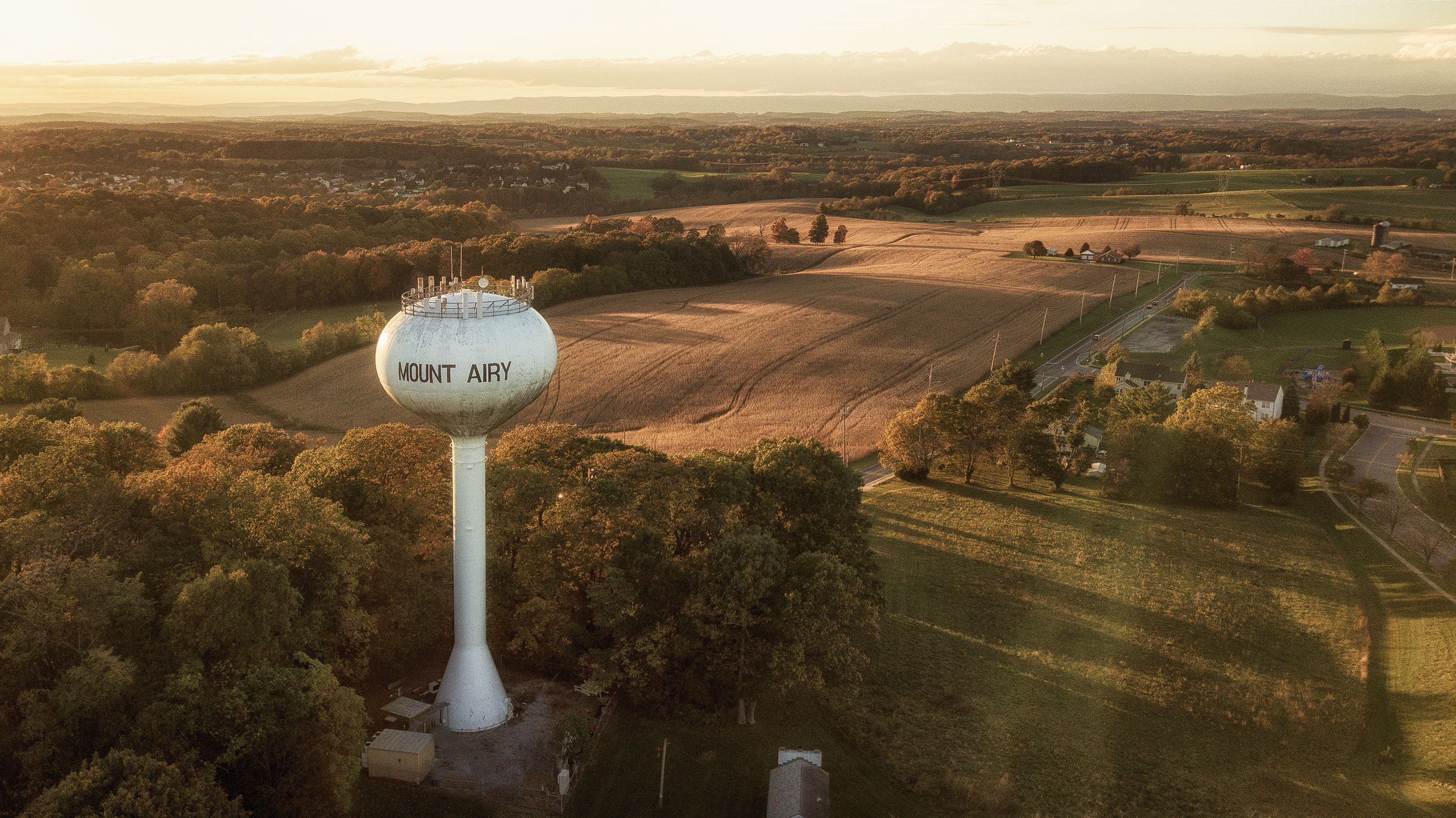
What's the altitude?

Winter Coats

Lake at sunrise

Sunrise House
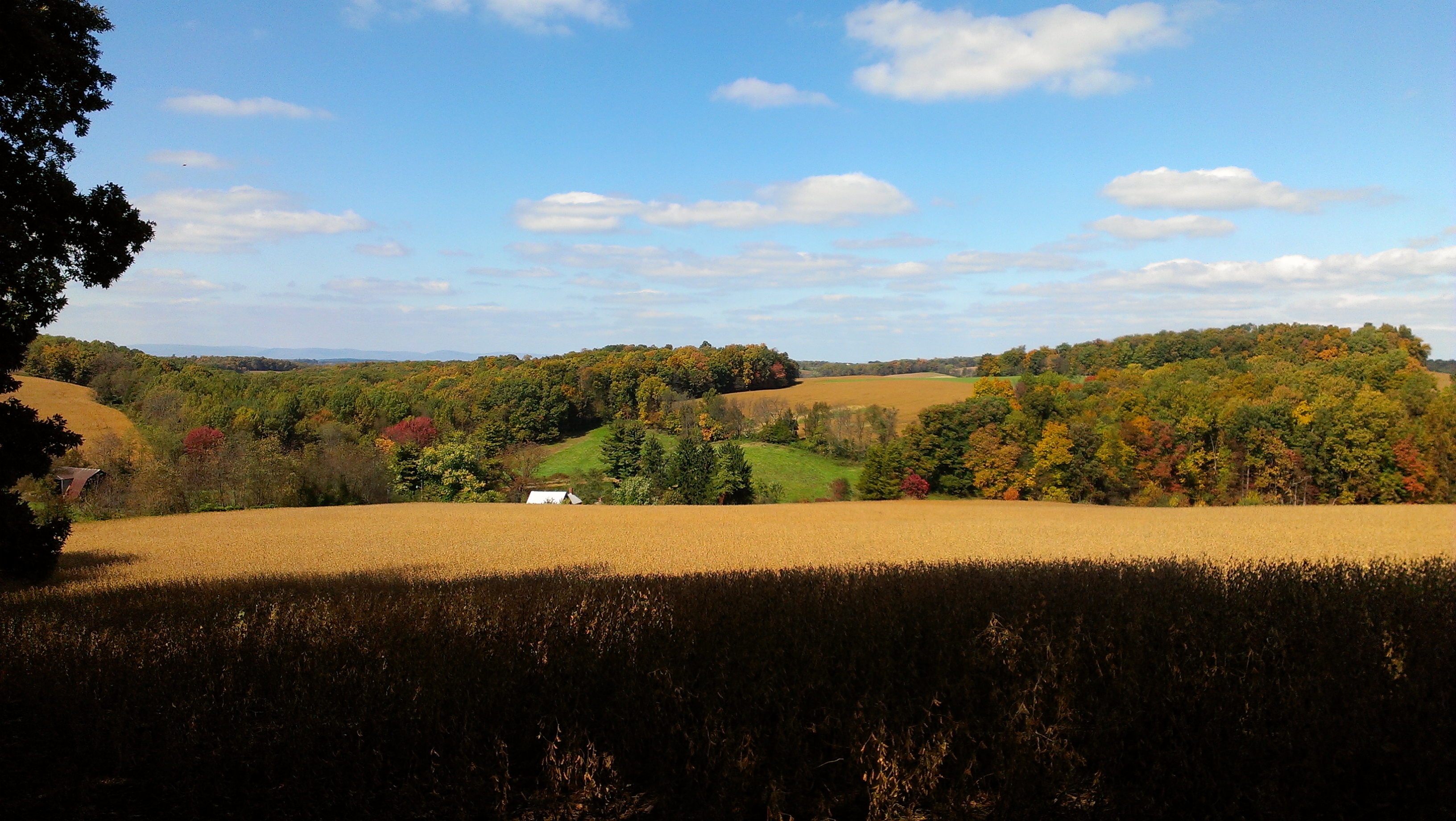
Fall @ the farm

Day Seven- Light to Dark

Hotair Balloon over the farm
Autumn Fields

Streem-7
Topographic Map of Streamview Ct, Mt Airy, MD, USA
Find elevation by address:

Places near Streamview Ct, Mt Airy, MD, USA:
18, Woodville
6108 Ridgeline Dr
6106 Ridgeline Dr
6104 Ridgeline Dr
Blythedale Dr, Mt Airy, MD, USA
5198 Almeria Ct
Dove Dr, Mt Airy, MD, USA
13059 Old Annapolis Rd
Kimmel Rd, Mt Airy, MD, USA
Mount Airy
802 N Main St
5637 Catoctin Ridge Dr
Harrisville Rd, Mt Airy, MD, USA
Talbot Run Rd, Mt Airy, MD, USA
Jesse Smith Rd, Mt Airy, MD, USA
12406 Old National Pike
Dollyhyde Rd, Mt Airy, MD, USA
3789 Boteler Rd
Marguerite Ct, Mt Airy, MD, USA
W Watersville Rd, Mt Airy, MD, USA
Recent Searches:
- Elevation of Corso Fratelli Cairoli, 35, Macerata MC, Italy
- Elevation of Tallevast Rd, Sarasota, FL, USA
- Elevation of 4th St E, Sonoma, CA, USA
- Elevation of Black Hollow Rd, Pennsdale, PA, USA
- Elevation of Oakland Ave, Williamsport, PA, USA
- Elevation of Pedrógão Grande, Portugal
- Elevation of Klee Dr, Martinsburg, WV, USA
- Elevation of Via Roma, Pieranica CR, Italy
- Elevation of Tavkvetili Mountain, Georgia
- Elevation of Hartfords Bluff Cir, Mt Pleasant, SC, USA