Elevation of Strawberry Lane, Strawberry Ln, Sherman, WV, USA
Location: United States > West Virginia > Hampshire County > Gore > Augusta >
Longitude: -78.617454
Latitude: 39.2549471
Elevation: 423m / 1388feet
Barometric Pressure: 96KPa
Elevation Map:
Satellite Map:
Related Photos:
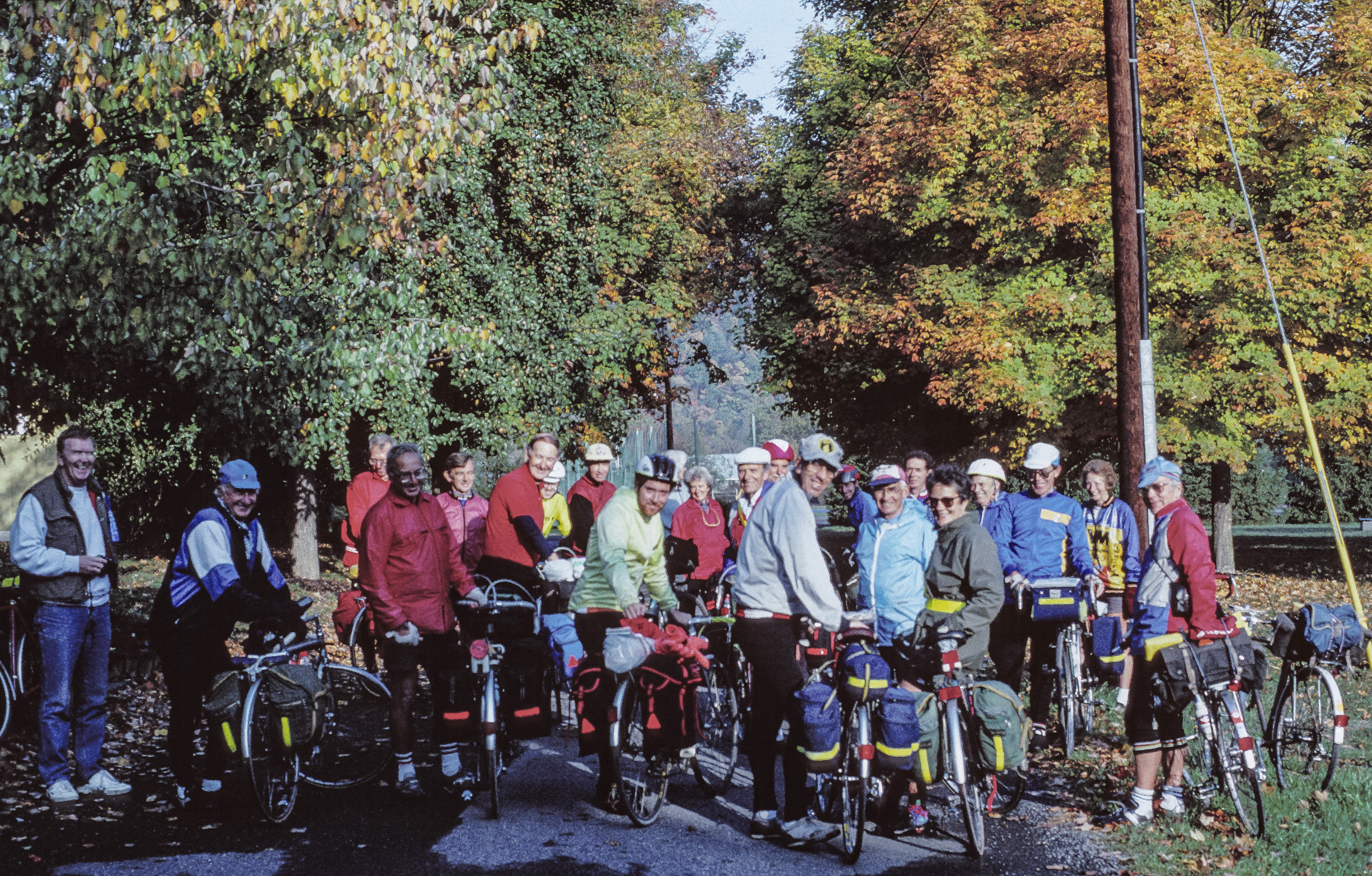
13.02 - The tour party prepares to depart Peterkin for Winchester

Centennial Ride '89 -- Day 2, August 20
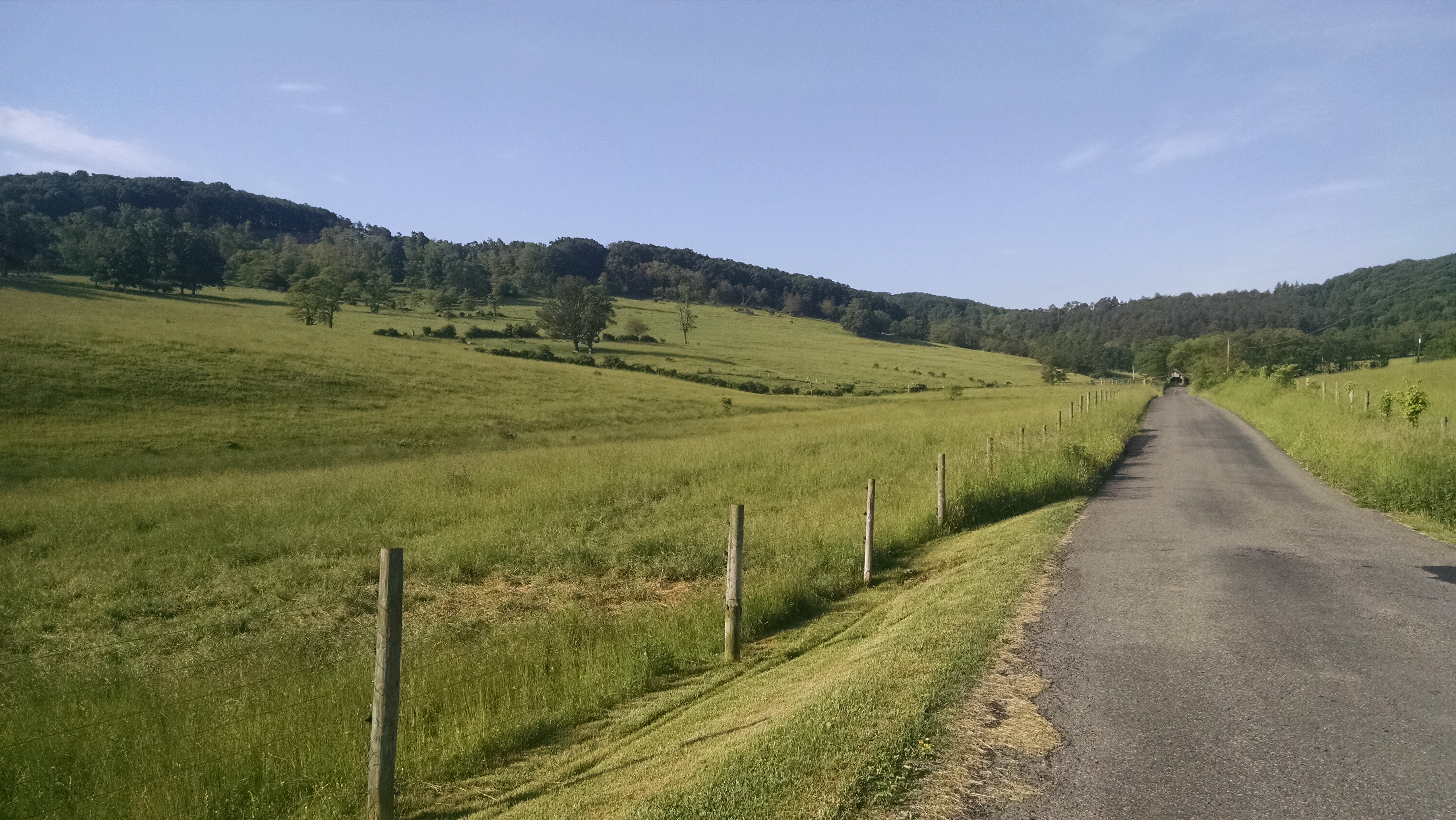
South Branch of the Little Cacapon Road

Camera Roll-1037

Yellow #autumn #leaves along the sleepy #northforklittlecacaponriver #littlecacapon #littlecacaponriver #frenchburg #frenchburgwv #frenchburgwestvirginia #wv #westvirginia #wv_igers #autumn #fall #almostheaven #wildandwonderful #instanature #northwestern
Mark and Marsha's

Mark and Marsha's

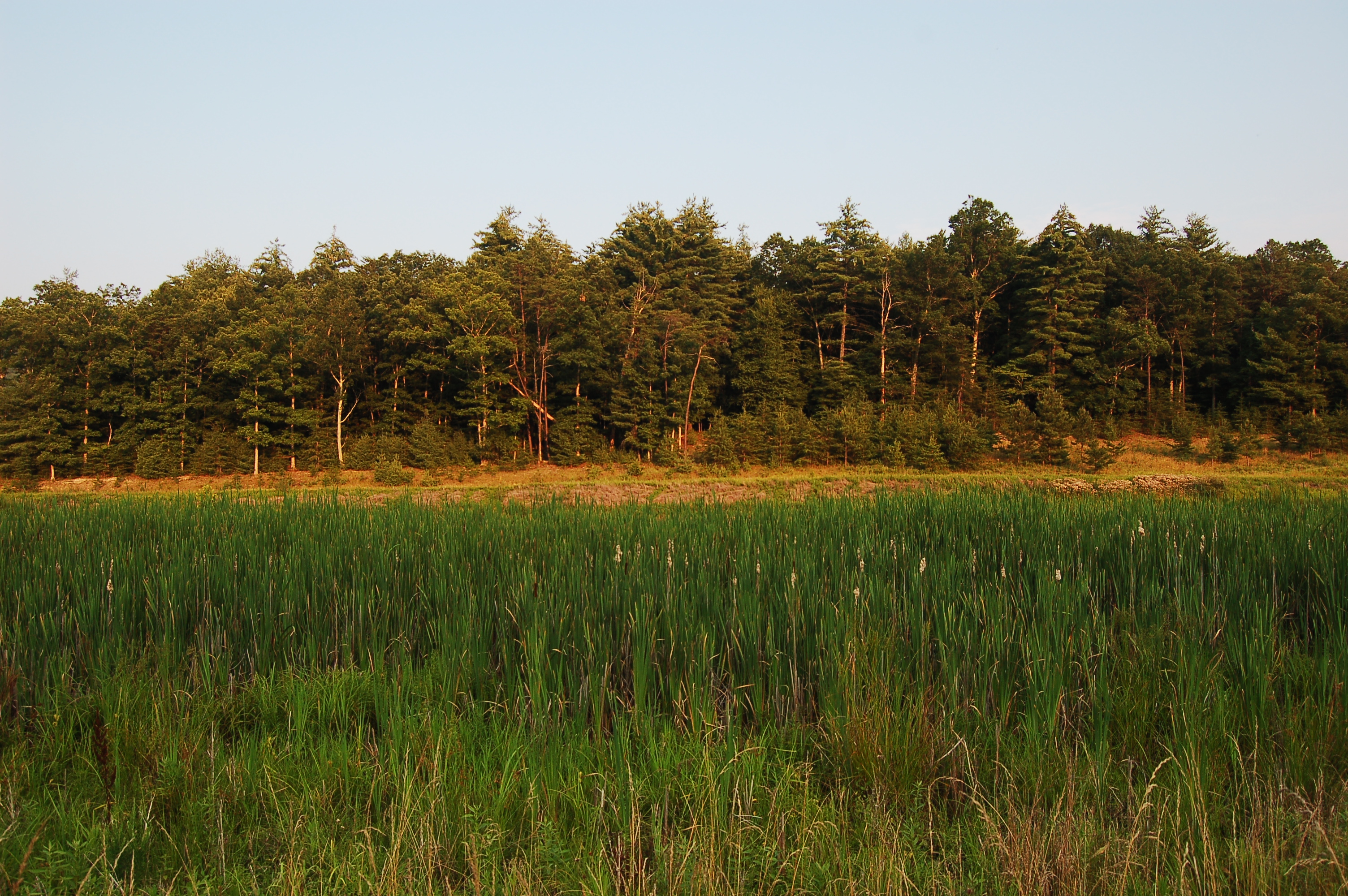
#Hiking among the #spruce #trees with Dad along Seneca Creek in #wildwetandwonderful #wv #westvirginia #senecacreek #spruceknob #woods #forest
DSC_4383.JPG
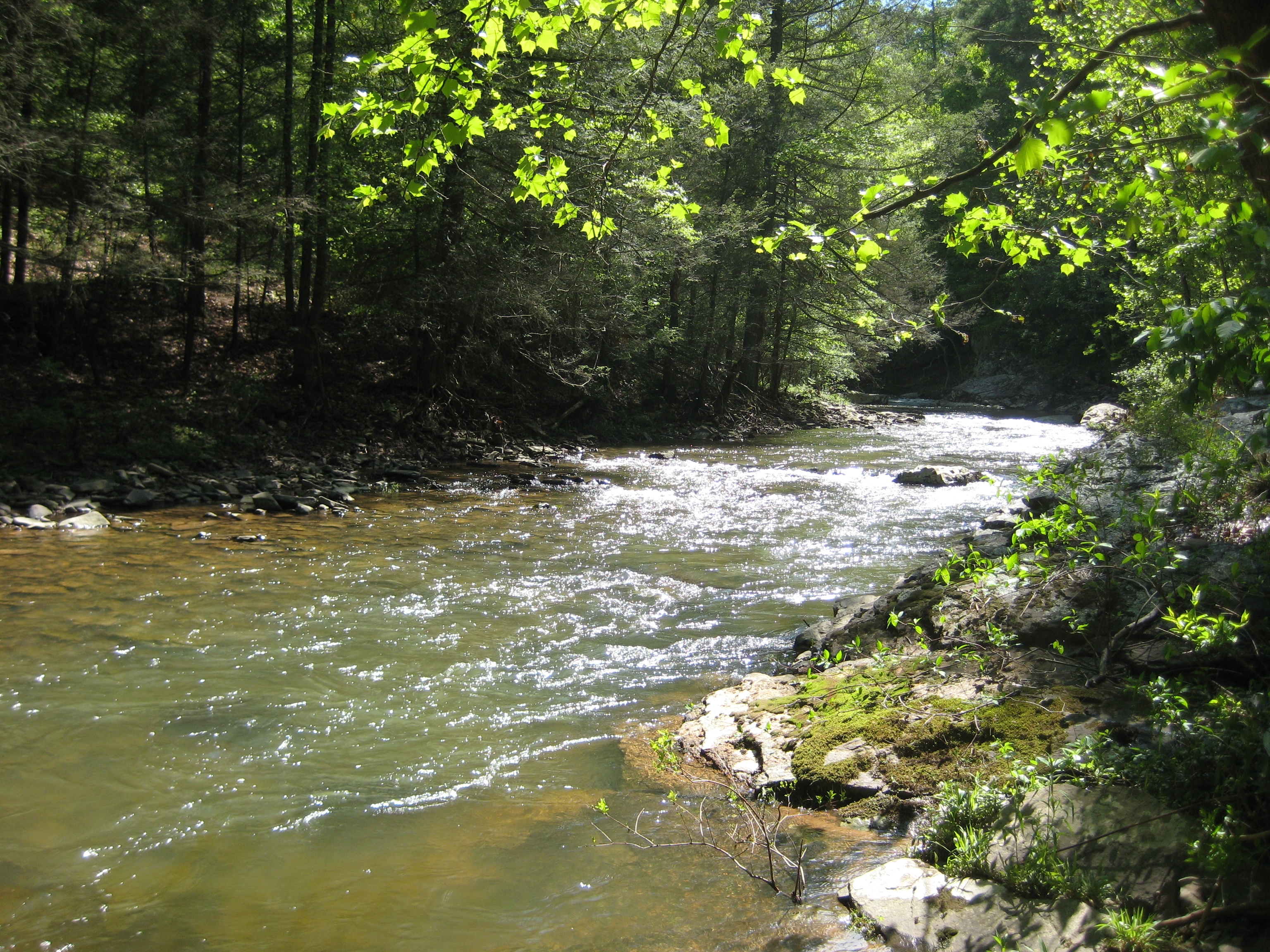
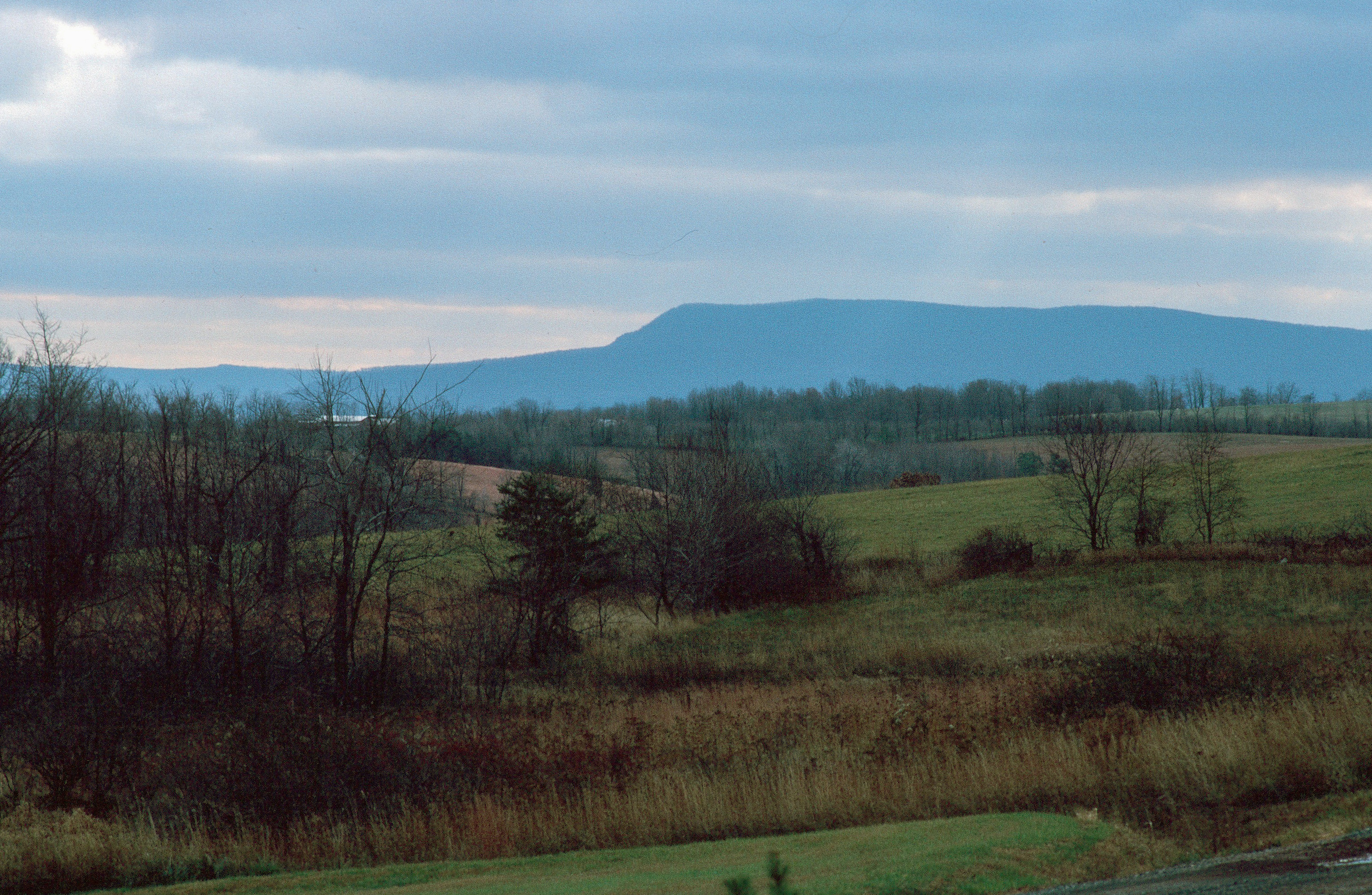
Tearcoat Creek
Camera Roll-1036

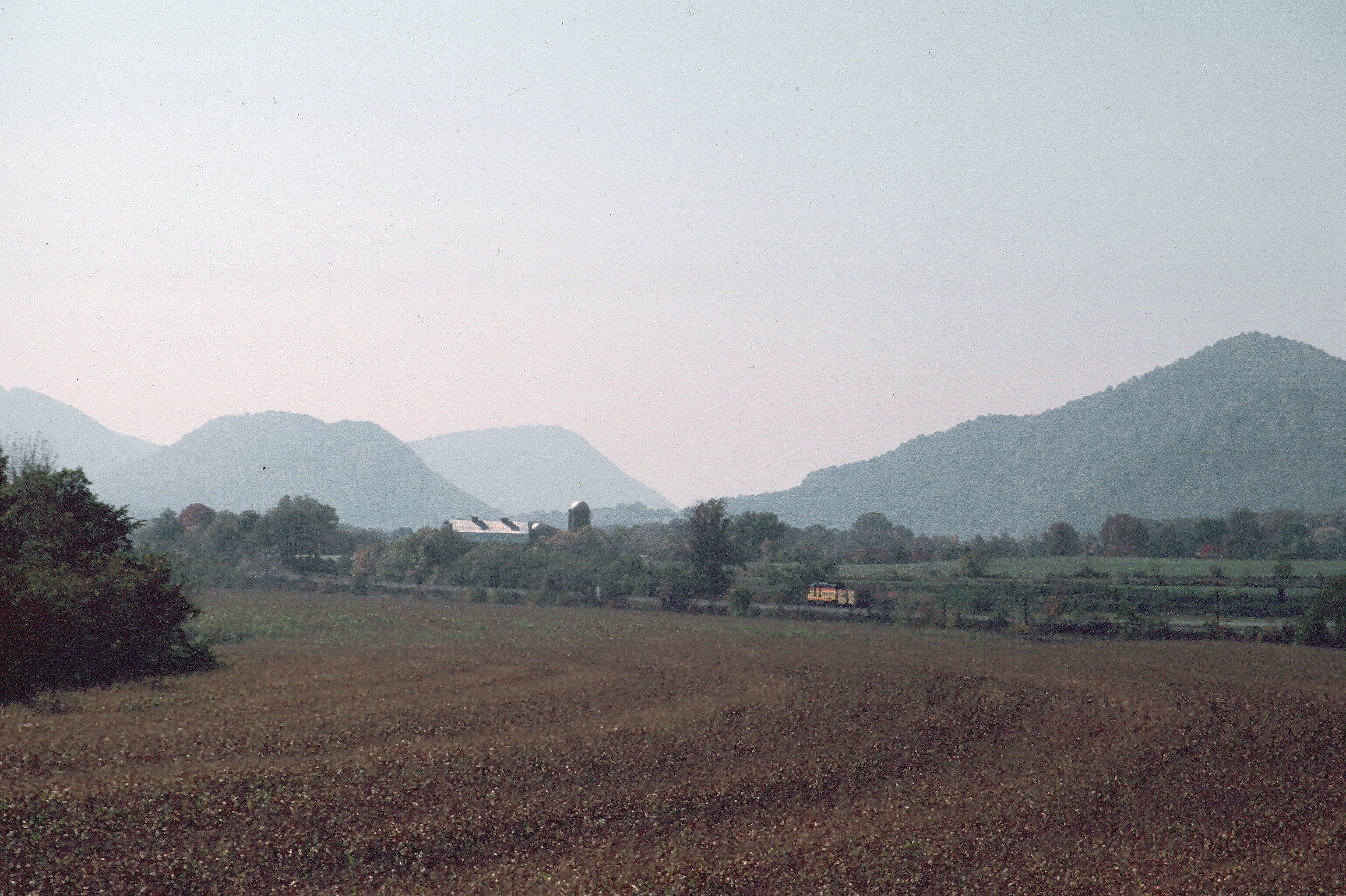
12.07 - In grounds of Peterkin Conference Center near Rhomney

The peaceful #northriver meandering along the base of #icemountain #northrivermillsday #northrivermills #almostheaven #wildandwonderful #westvirginia #hampshirecountywv
DSC_4409.JPG
Camera Roll-1034

35°F on a 75°F day! ❄️ #ice vents along the #algific #talus slopes of #icemountain #northrivermillsday #northrivermills #almostheaven #wildandwonderful #westvirginia (FYI that's a sheet of ice along the bottom of the ice vent)
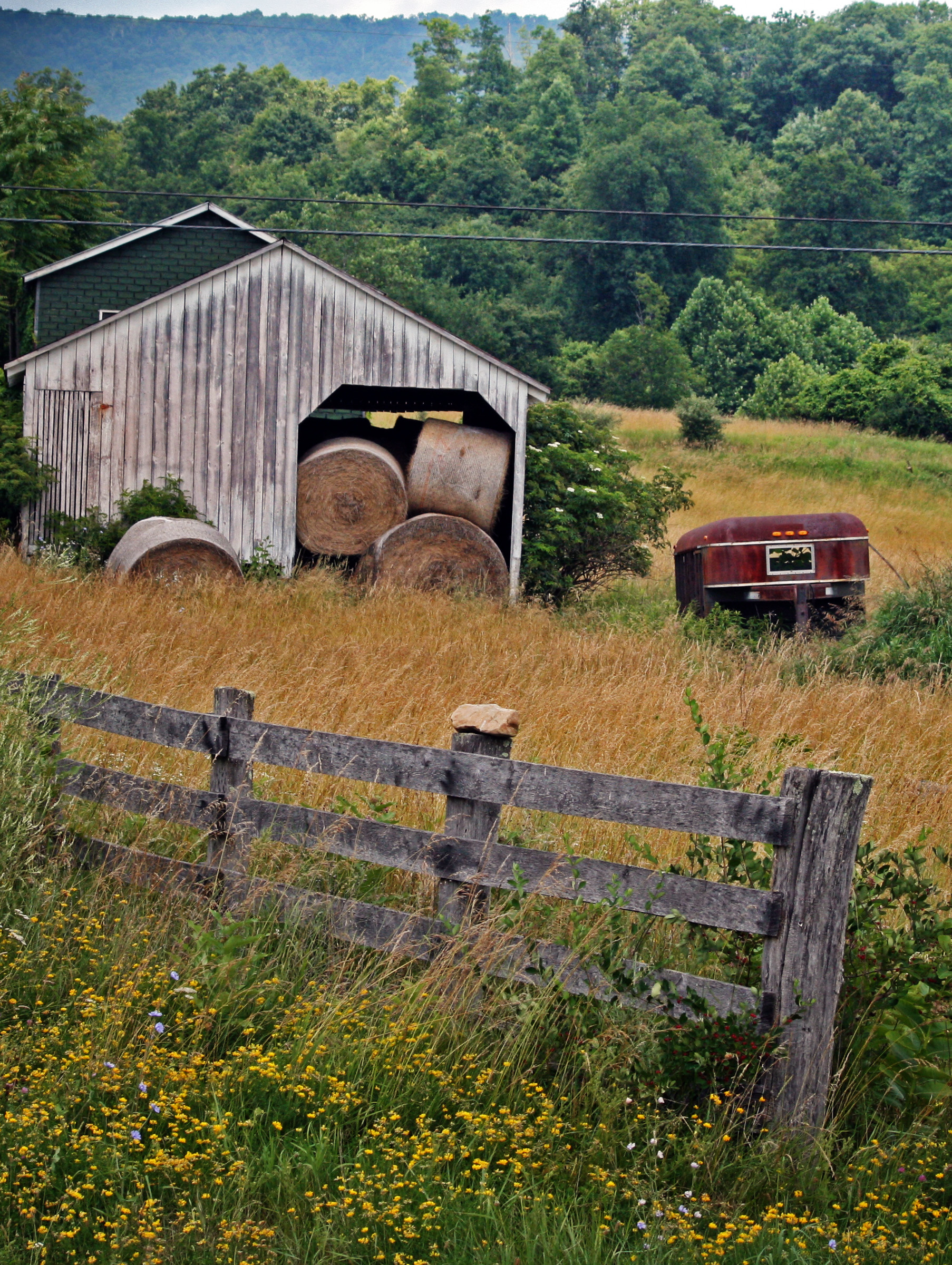
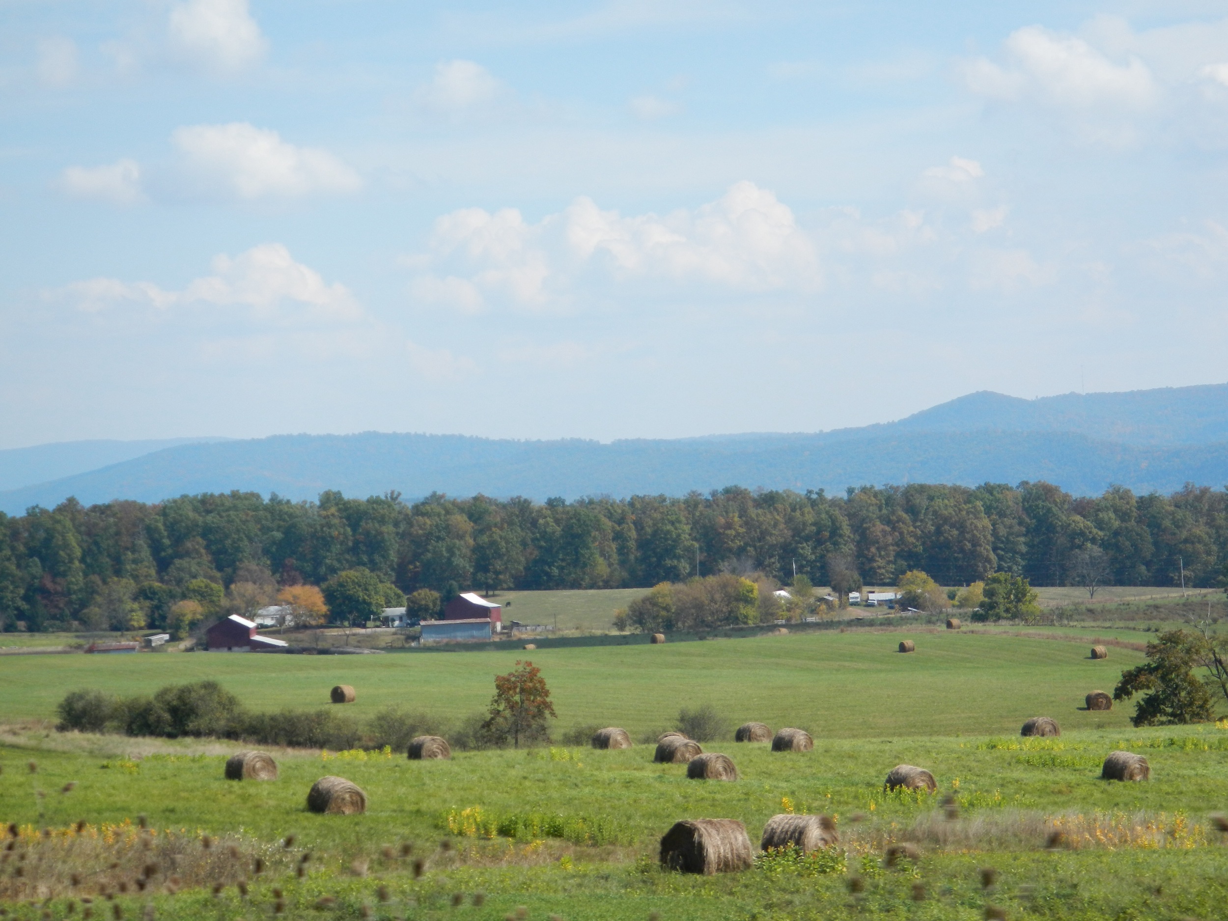
Hay Barn and Trailer
DSC_4445.JPG

Graves in Indian Mound Cemetery

Bank of Romney, WV - ss
Mark and Marsha's
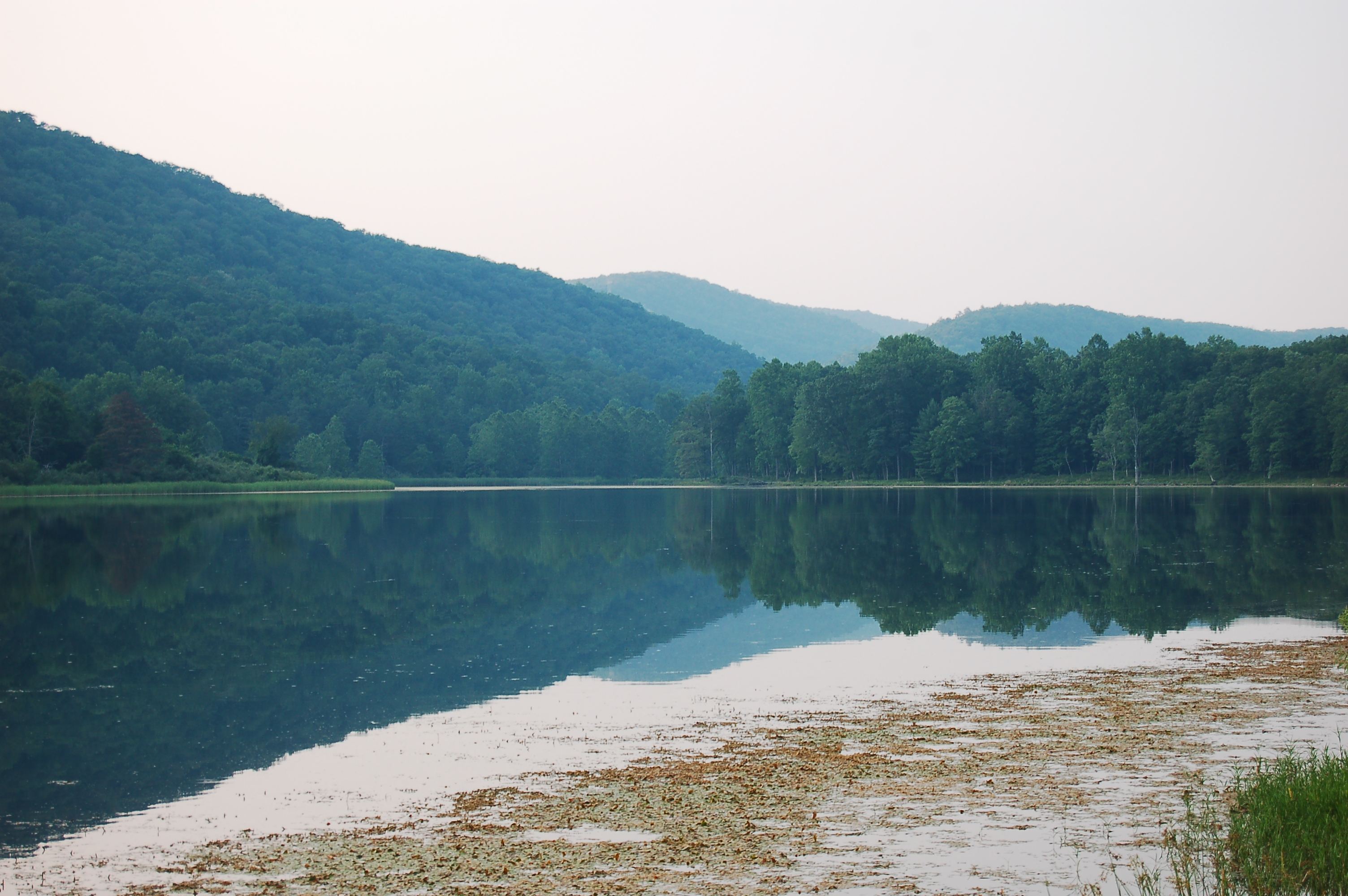
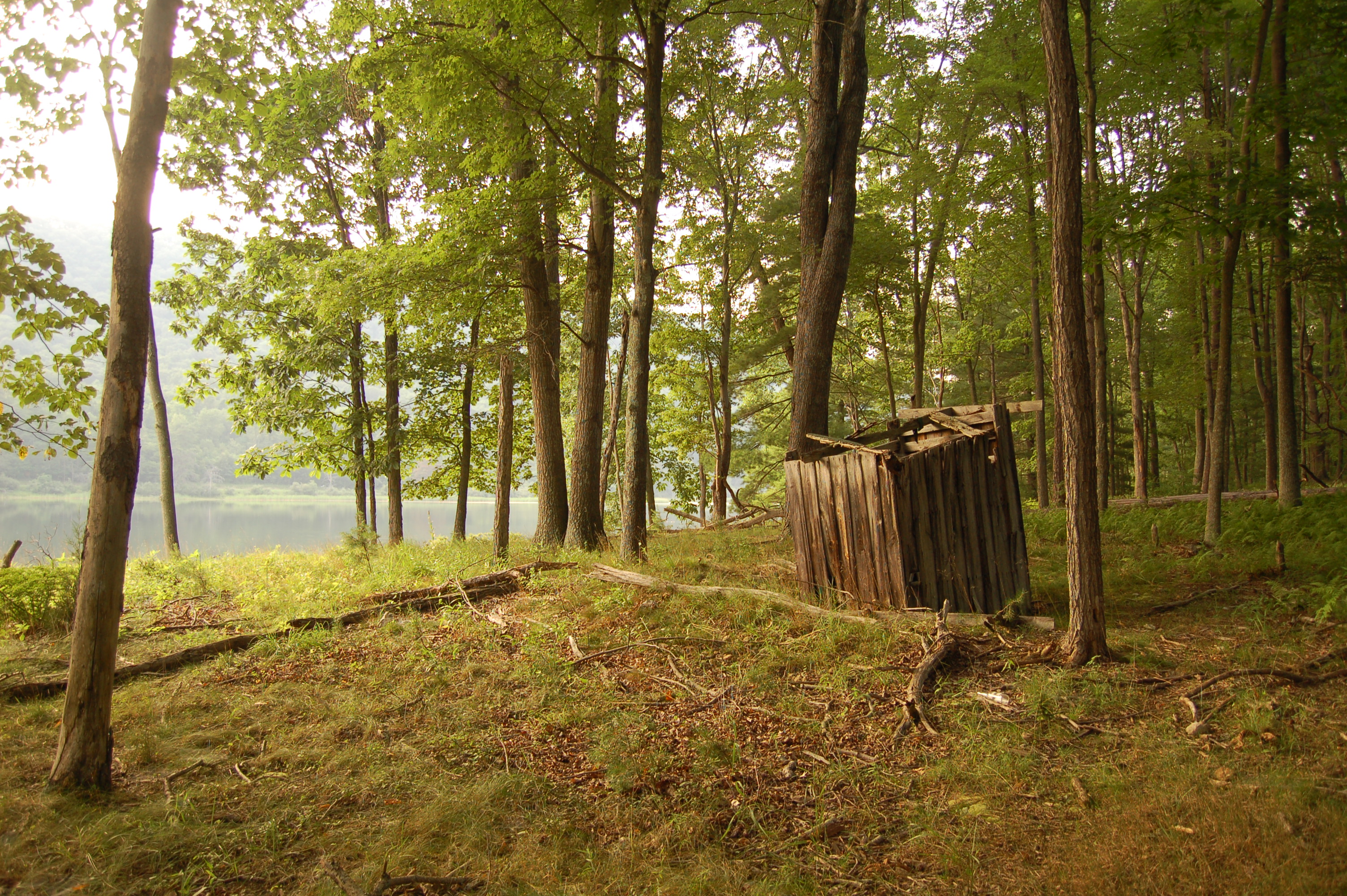
Ice Mountain

Mark and Marsha's
Topographic Map of Strawberry Lane, Strawberry Ln, Sherman, WV, USA
Find elevation by address:

Places near Strawberry Lane, Strawberry Ln, Sherman, WV, USA:
1730 Dunmore Ridge Rd
281 Cedar Ridge Farm Dr
Augusta
Delray Rd, Augusta, WV, USA
84 Ron's Dr
397 E View Dr
397 E View Dr
353 Sugar Magnolia Way
Sherman
South Fork Of Little Cacapon Road
Northwestern Pike, Augusta, WV, USA
Hanging Rock
Heide Cooper Road
3115 Heide Cooper Rd
Cooper Mountain
Shanks
Hampshire County
North River Road
North River Road
Coopers Run Road
Recent Searches:
- Elevation of Corso Fratelli Cairoli, 35, Macerata MC, Italy
- Elevation of Tallevast Rd, Sarasota, FL, USA
- Elevation of 4th St E, Sonoma, CA, USA
- Elevation of Black Hollow Rd, Pennsdale, PA, USA
- Elevation of Oakland Ave, Williamsport, PA, USA
- Elevation of Pedrógão Grande, Portugal
- Elevation of Klee Dr, Martinsburg, WV, USA
- Elevation of Via Roma, Pieranica CR, Italy
- Elevation of Tavkvetili Mountain, Georgia
- Elevation of Hartfords Bluff Cir, Mt Pleasant, SC, USA