Elevation of Stover Rd, Valley Falls, NY, USA
Location: United States > New York > Rensselaer County > Pittstown > Valley Falls >
Longitude: -73.563576
Latitude: 42.8924977
Elevation: 129m / 423feet
Barometric Pressure: 100KPa
Elevation Map:
Satellite Map:
Related Photos:
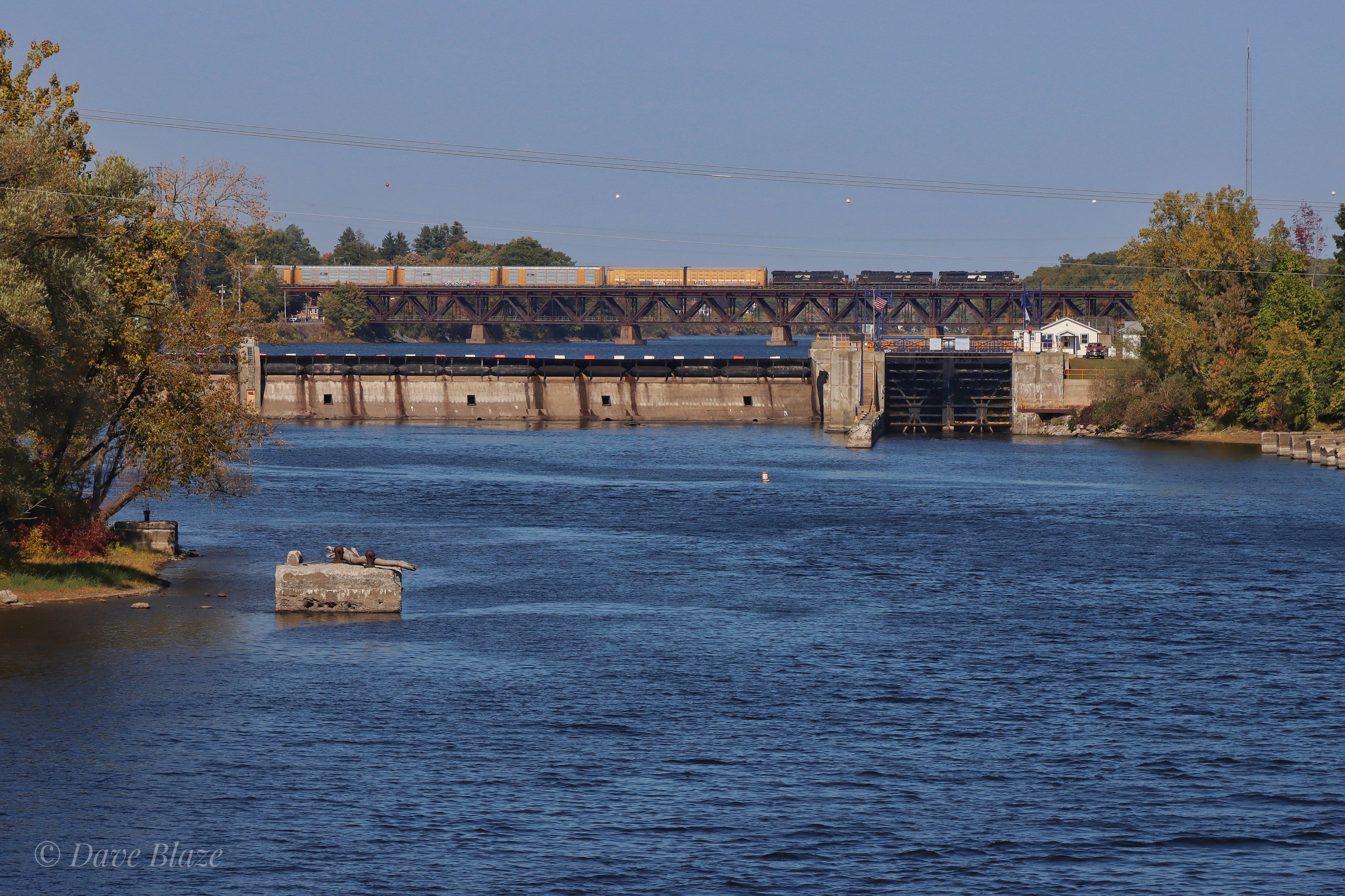
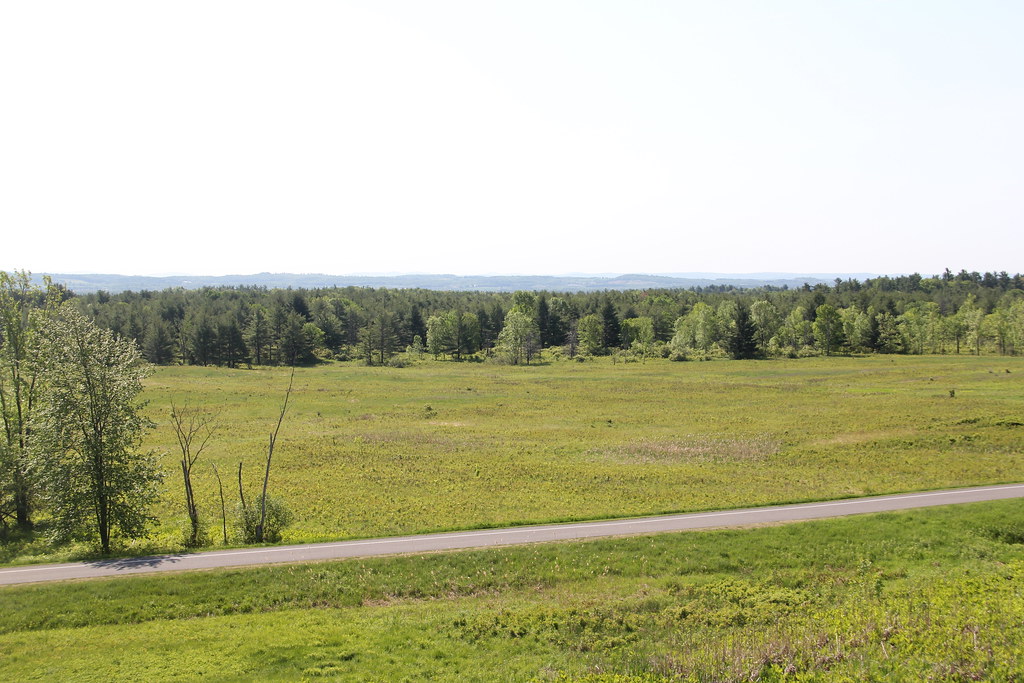
22K Across the Hudson

More Mechanicville

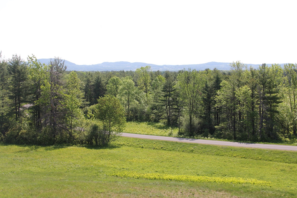
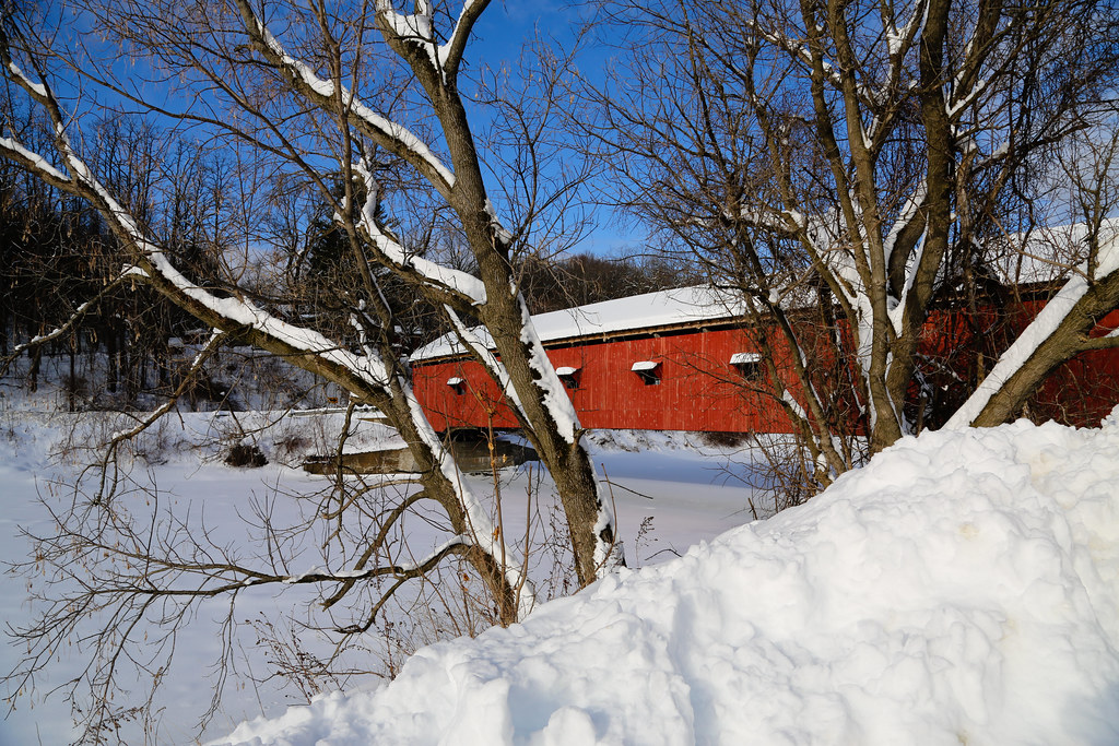
Wintry Country Road

Vermont Railway on Pan Am at Eagle Bridge

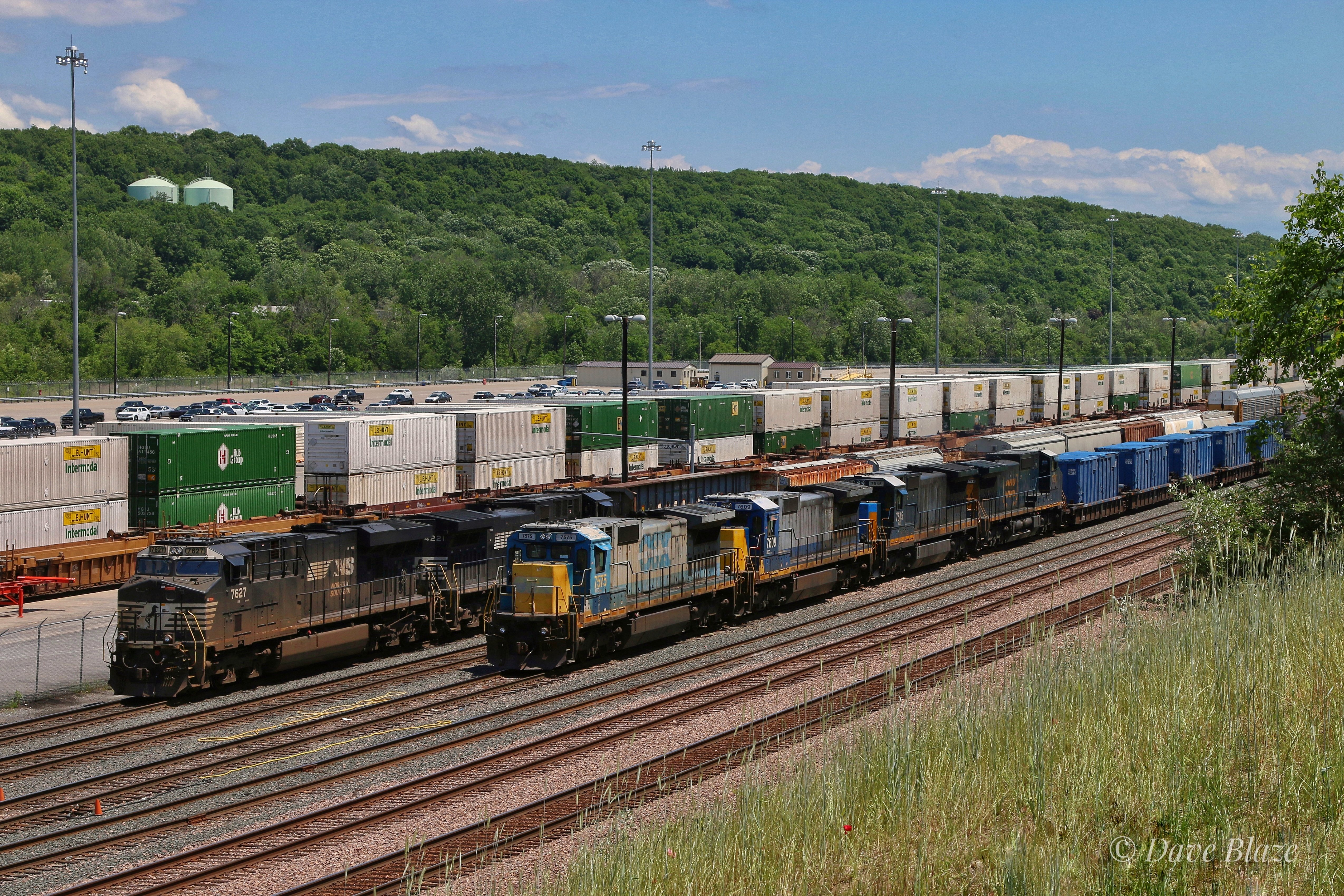
D45 Passes Mechanicville Yard

Sunset on the Hudson River

Towpath on the Champlain Canal
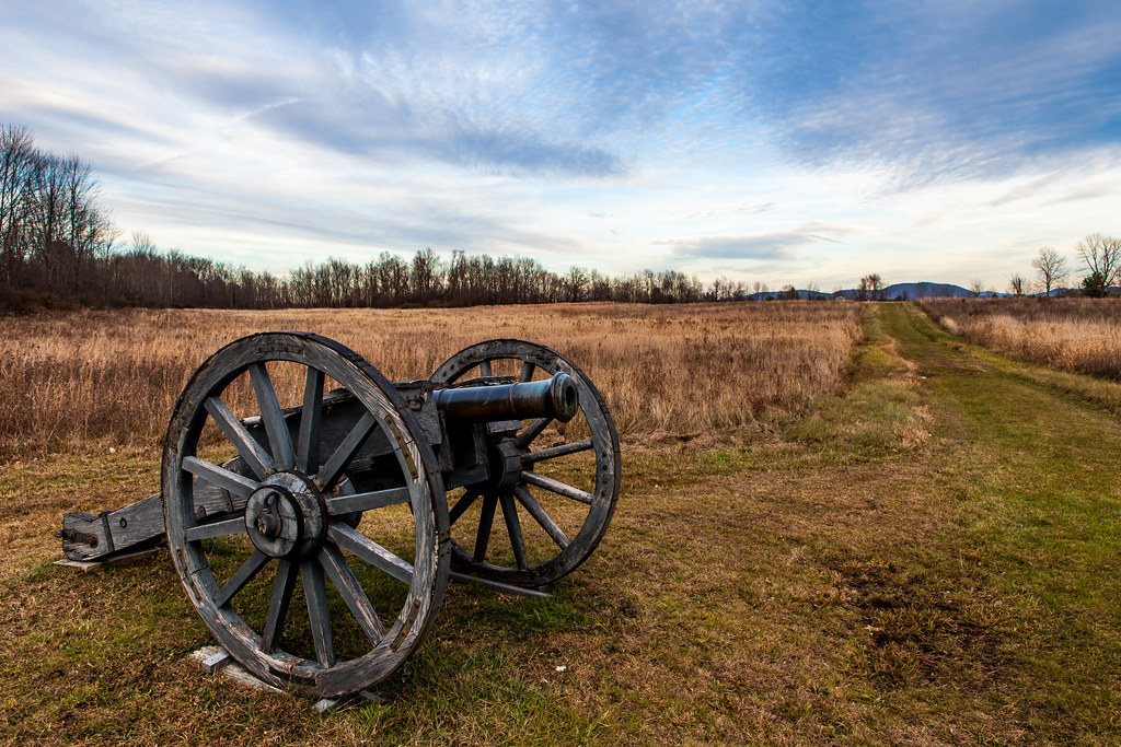
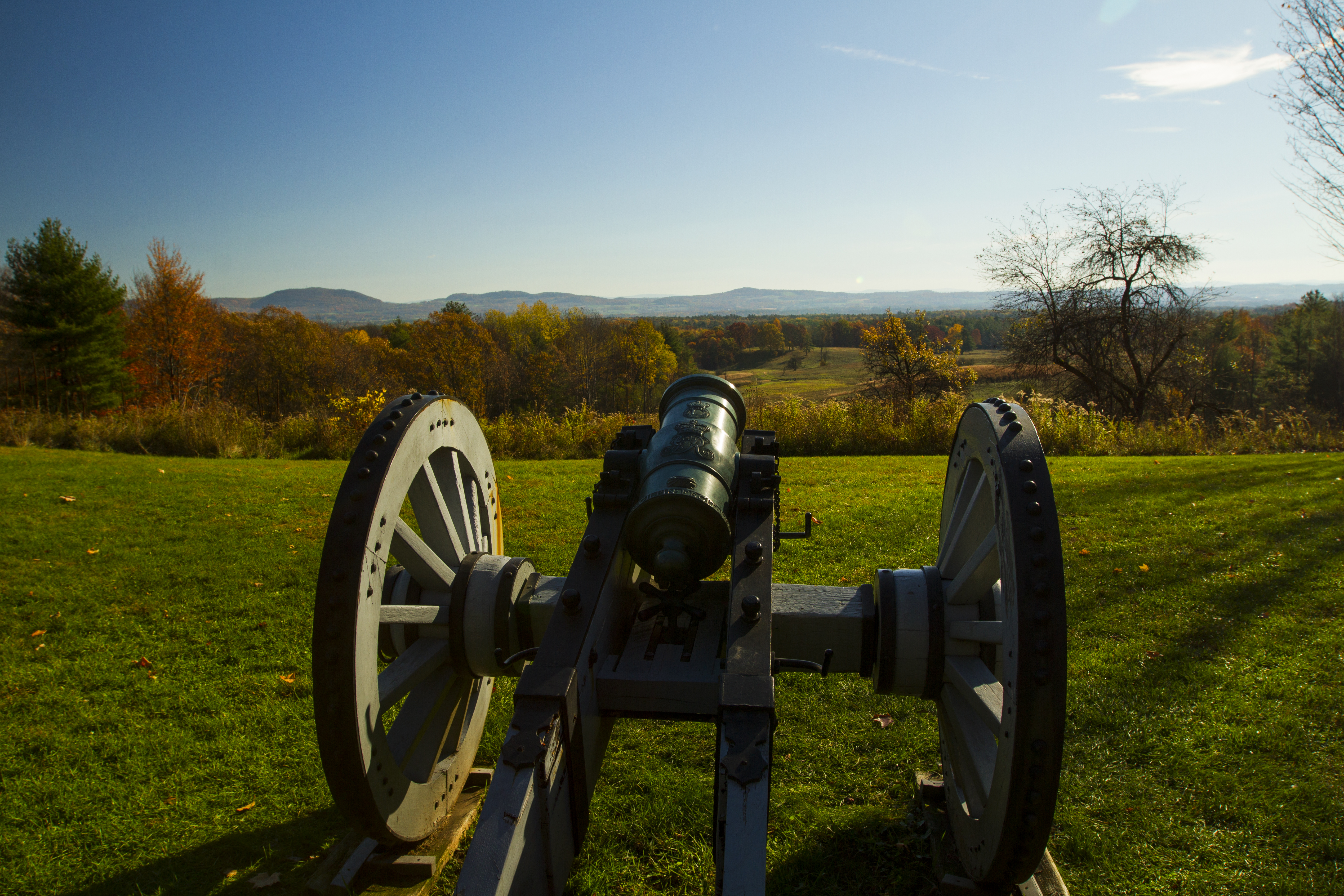
Saratoga Battlefield-4702
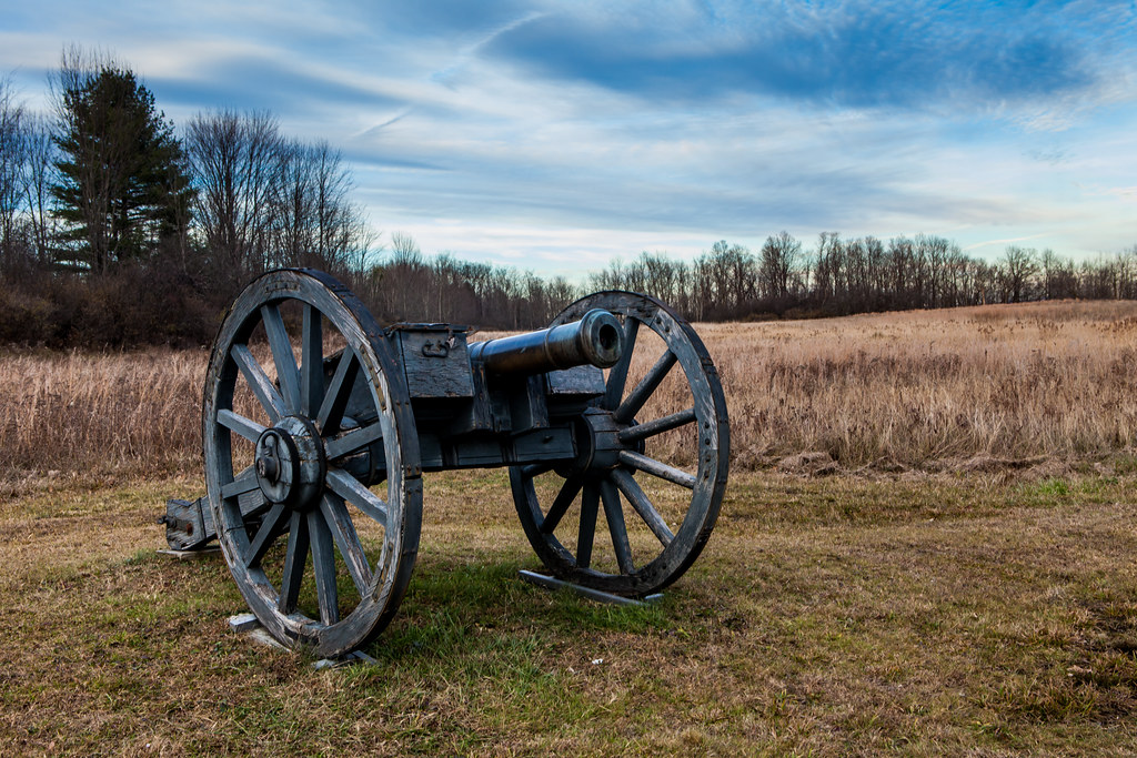
Saratoga Battlefield-4699
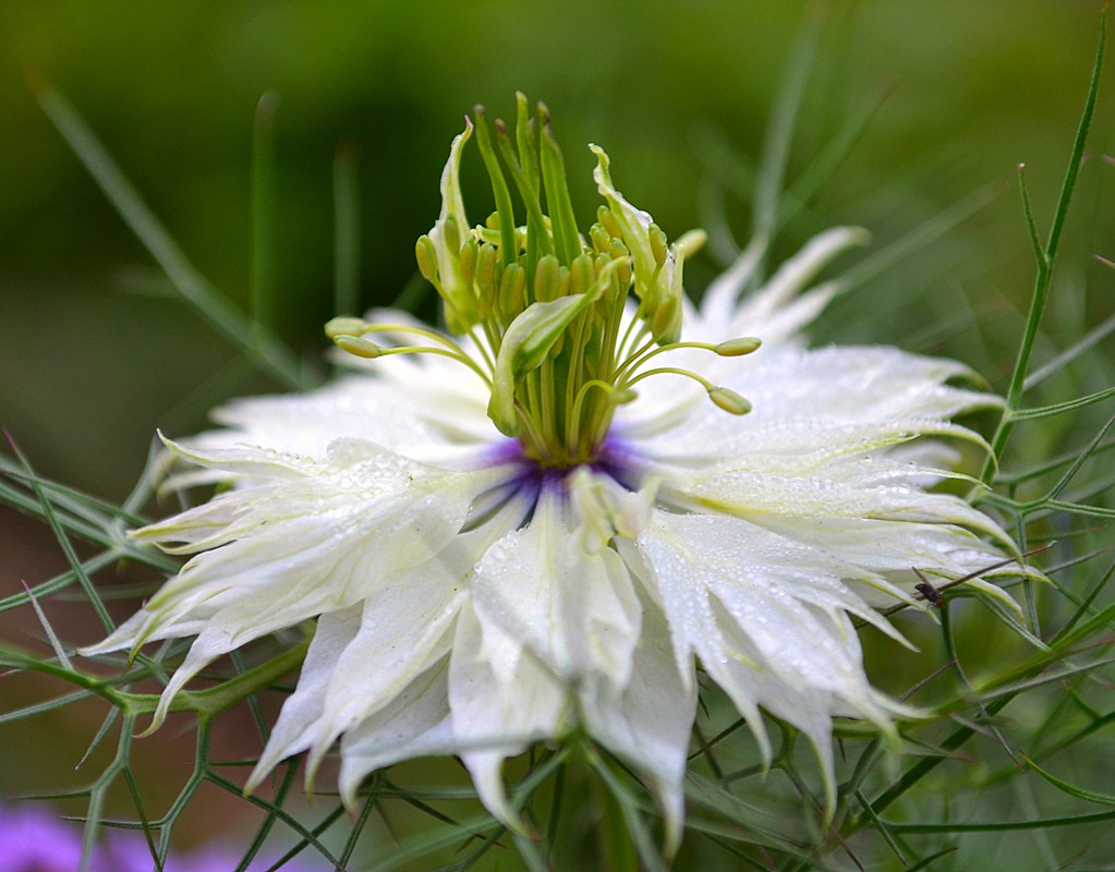
Love~in~the~mist!

Peebles Island

Saratoga National Historical Park - View of the Hudson River from the Great Redoubt
Saratoga National Historical Park - View from Freeman Farm Overlook

Saratoga National Historical Park

18th Century Seamstresses

Saratoga National Historical Park - Barber's Wheat Field
Saratoga National Historical Park - View from Freeman Farm Overlook
Saratoga National Historical Park - View of the John Neilson Farmhouse

Saratoga National Historical Park - View at the Site of Chatfield Farm

Saratoga National Historical Park - Burgoyne's Headquarters/Main British Encampment

Field of View

Hoosick Falls - Potter Hill on NY 7 West 02

Back to the heart of the country

And Miles To Go Before I Sleep (and miles to go before I sleep)

1850 Buskirk Bridge
11R at Mechanicville
Buskirk Bridge

Hudson River Clouds

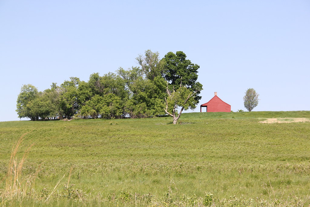
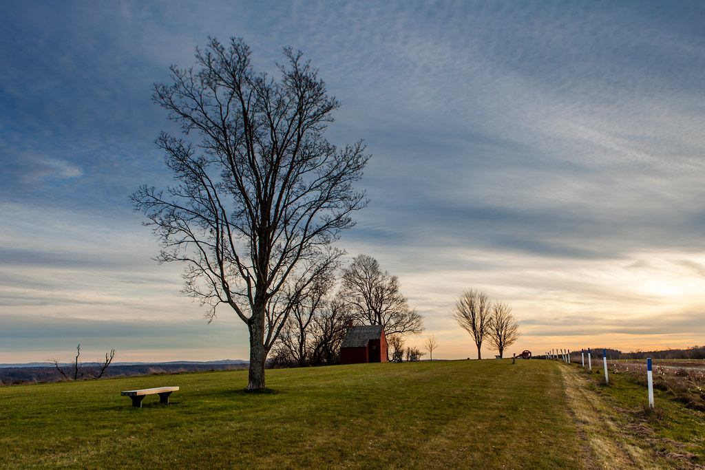
Bemis Heights

Buttermilk Falls 2

Buttermilk Falls near Mechanicville, NY
Saratoga Battlefield-4706

Saratoga Battlefield-4751

360_10_13 (3)_crop_clean
Boom.

A Trail Through the Woods

Anthony Kill

Buskirk's Bridge

Between the woods and frozen lake...
Topographic Map of Stover Rd, Valley Falls, NY, USA
Find elevation by address:

Places near Stover Rd, Valley Falls, NY, USA:
Valley Falls
1 Wanko Way
Schaghticoke
20 Powerhouse Rd
28 Powerhouse Rd
136 Kardas Rd
Johnsonville
11 Clum Rd, Johnsonville, NY, USA
119 Buttermilk Falls Rd
Schaghticoke
51 Ferry Ln
27 Ferry Ln
25 Ferry Ln
66 Ives Hill Rd, Valley Falls, NY, USA
Stillwater
NY-40, Schaghticoke, NY, USA
9 Becker Rd
20 S Cambridge Rd
US-4, Stillwater, NY, USA
102 Becker Rd
Recent Searches:
- Elevation of Corso Fratelli Cairoli, 35, Macerata MC, Italy
- Elevation of Tallevast Rd, Sarasota, FL, USA
- Elevation of 4th St E, Sonoma, CA, USA
- Elevation of Black Hollow Rd, Pennsdale, PA, USA
- Elevation of Oakland Ave, Williamsport, PA, USA
- Elevation of Pedrógão Grande, Portugal
- Elevation of Klee Dr, Martinsburg, WV, USA
- Elevation of Via Roma, Pieranica CR, Italy
- Elevation of Tavkvetili Mountain, Georgia
- Elevation of Hartfords Bluff Cir, Mt Pleasant, SC, USA