Elevation of Stover Rd, Randle, WA, USA
Location: United States > Washington > Lewis County > Randle >
Longitude: -121.75668
Latitude: 46.547127
Elevation: 295m / 968feet
Barometric Pressure: 98KPa
Elevation Map:
Satellite Map:
Related Photos:

A different point of view.

Forest explorations at the Grove of the Patriarchs. ???????? I'm not even half through processing the Rainier shots! More mountain views to come. ????
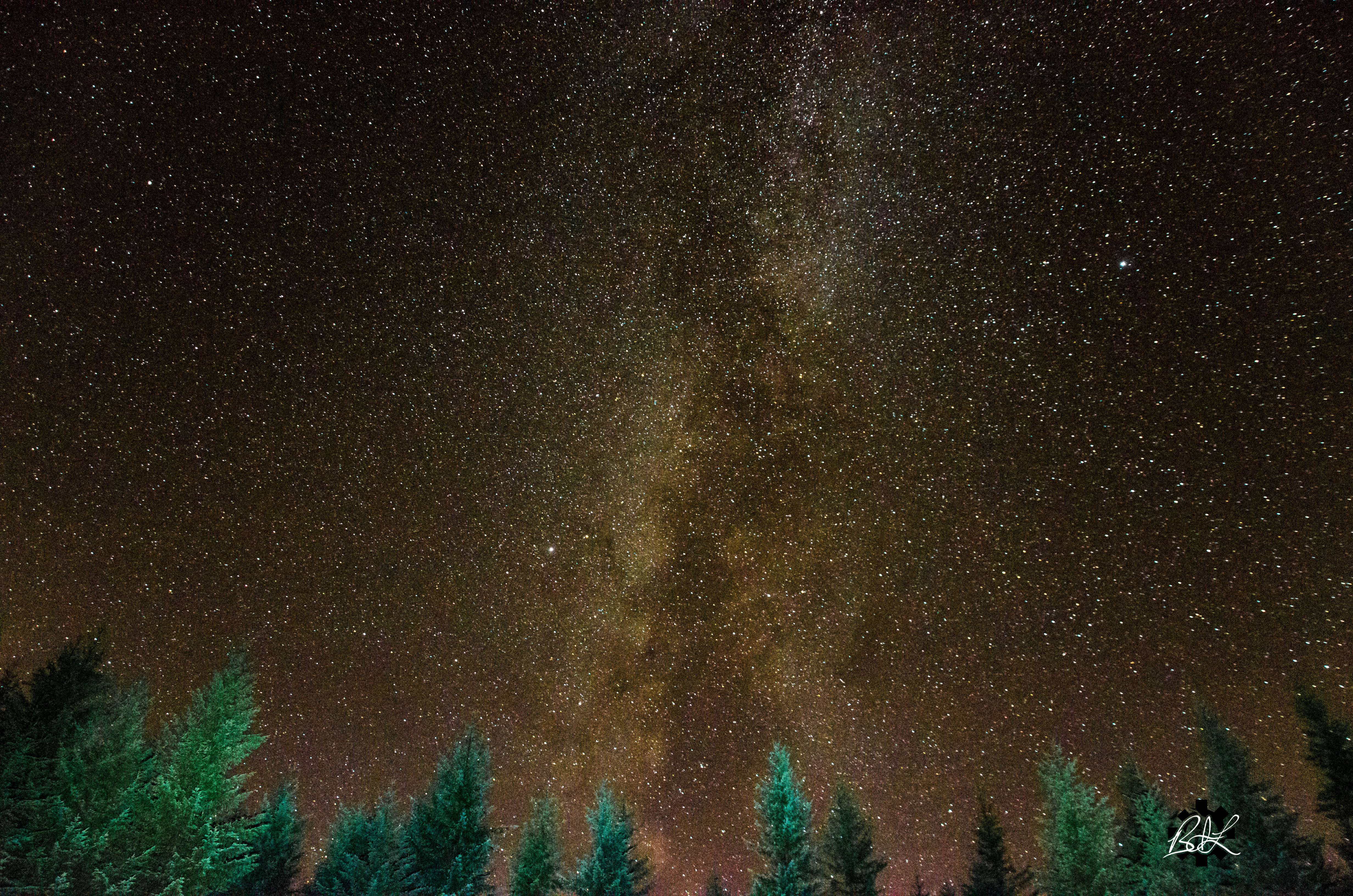
Campsite Evening View

Not a bad view on the approach to Seattle

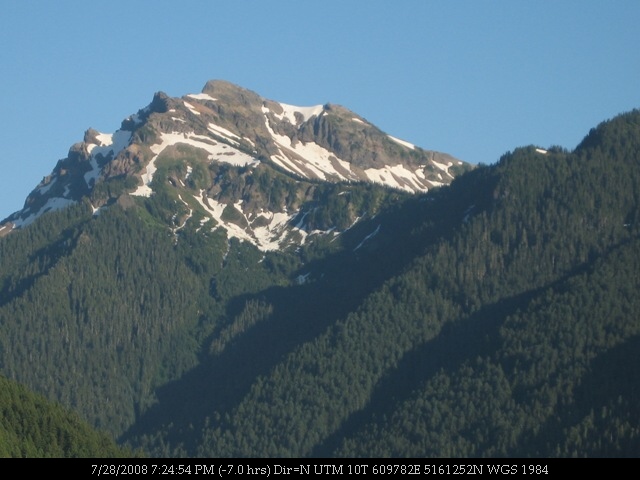
Rainier from Skate Creek2

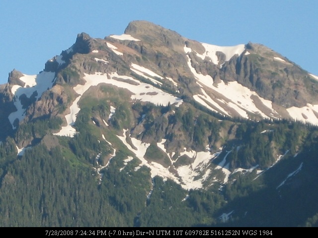
Mount St. Helens
Mount St. Helens
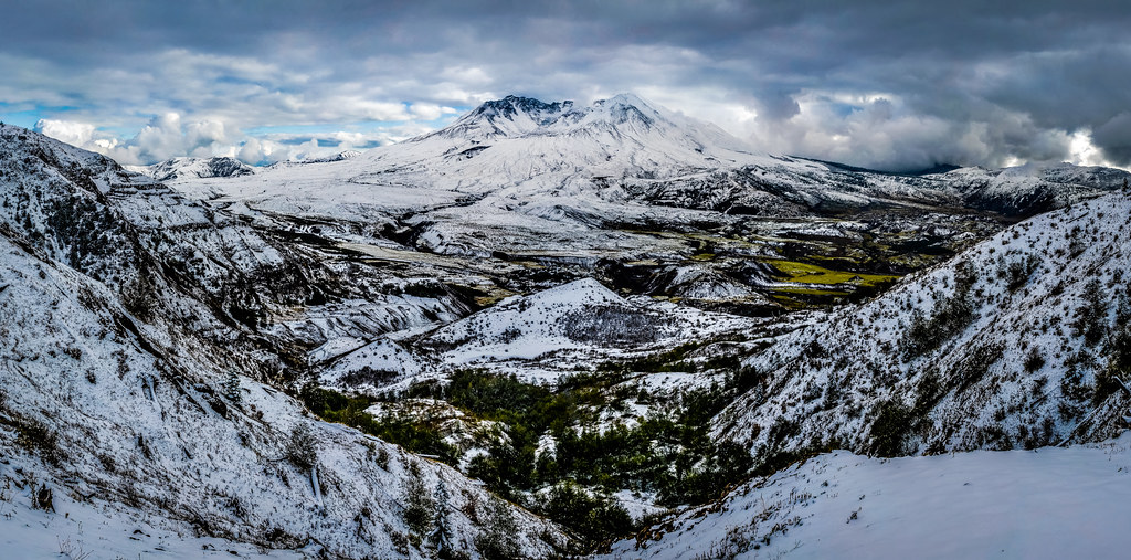
Mount St. Helens
The up side

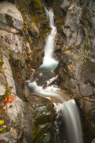
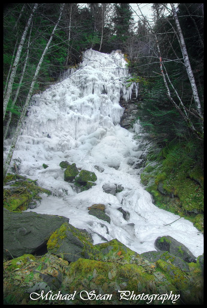
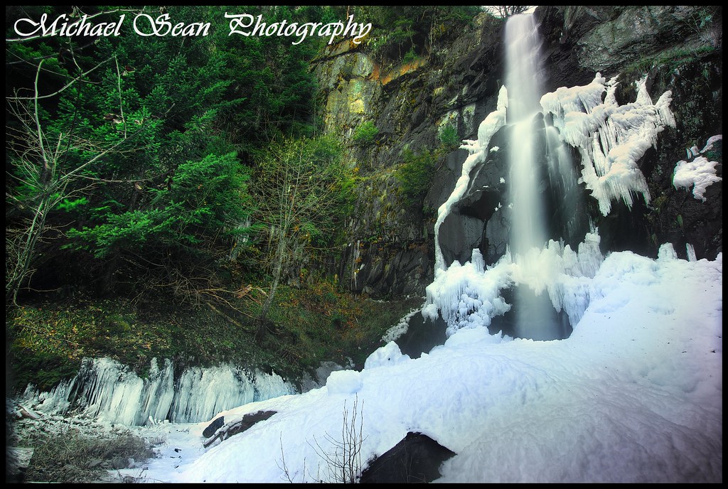
Covell Creek Falls

Highway 12 (34)

Life's Motions
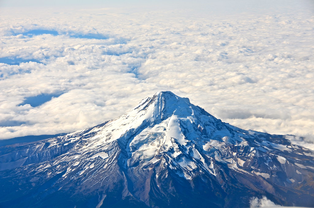
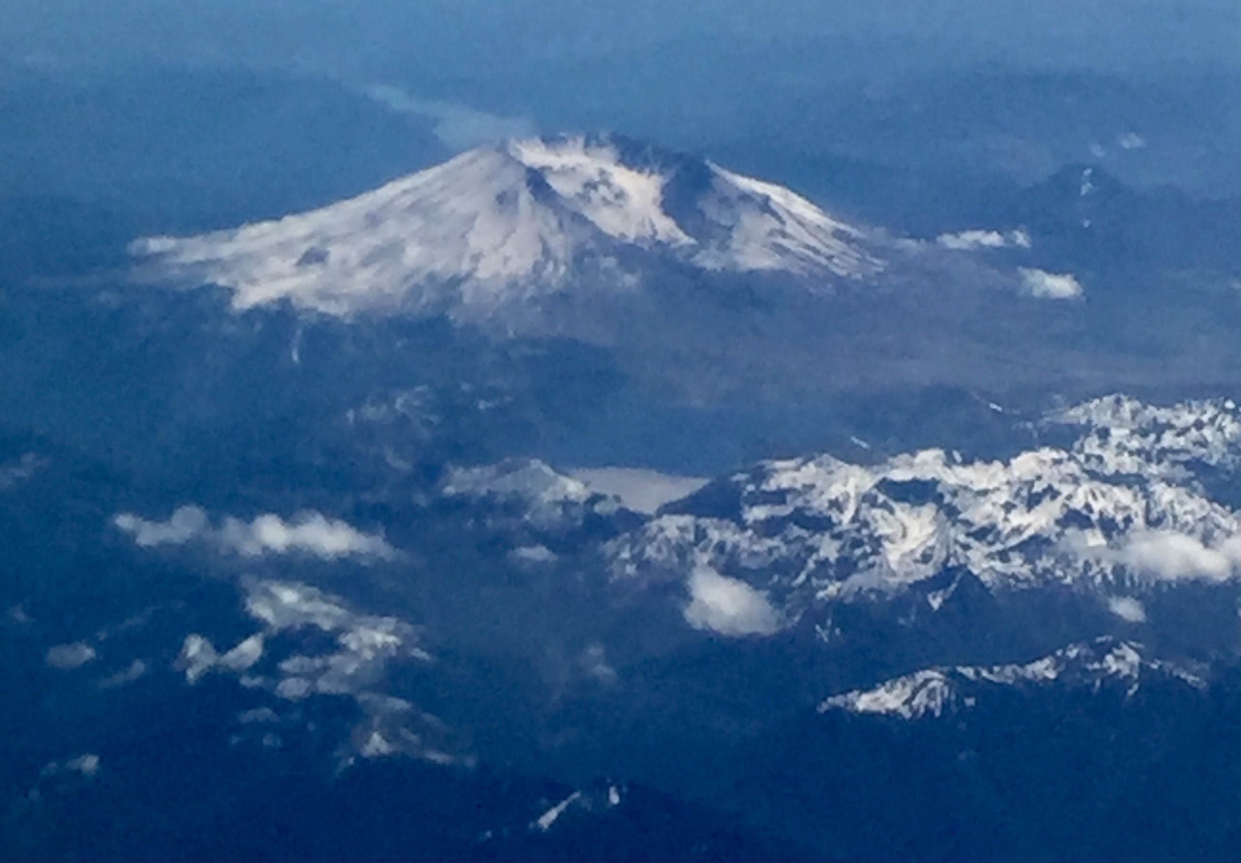
Mount Rainier from the air.
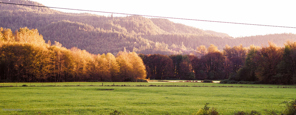
Highway 12 (35)
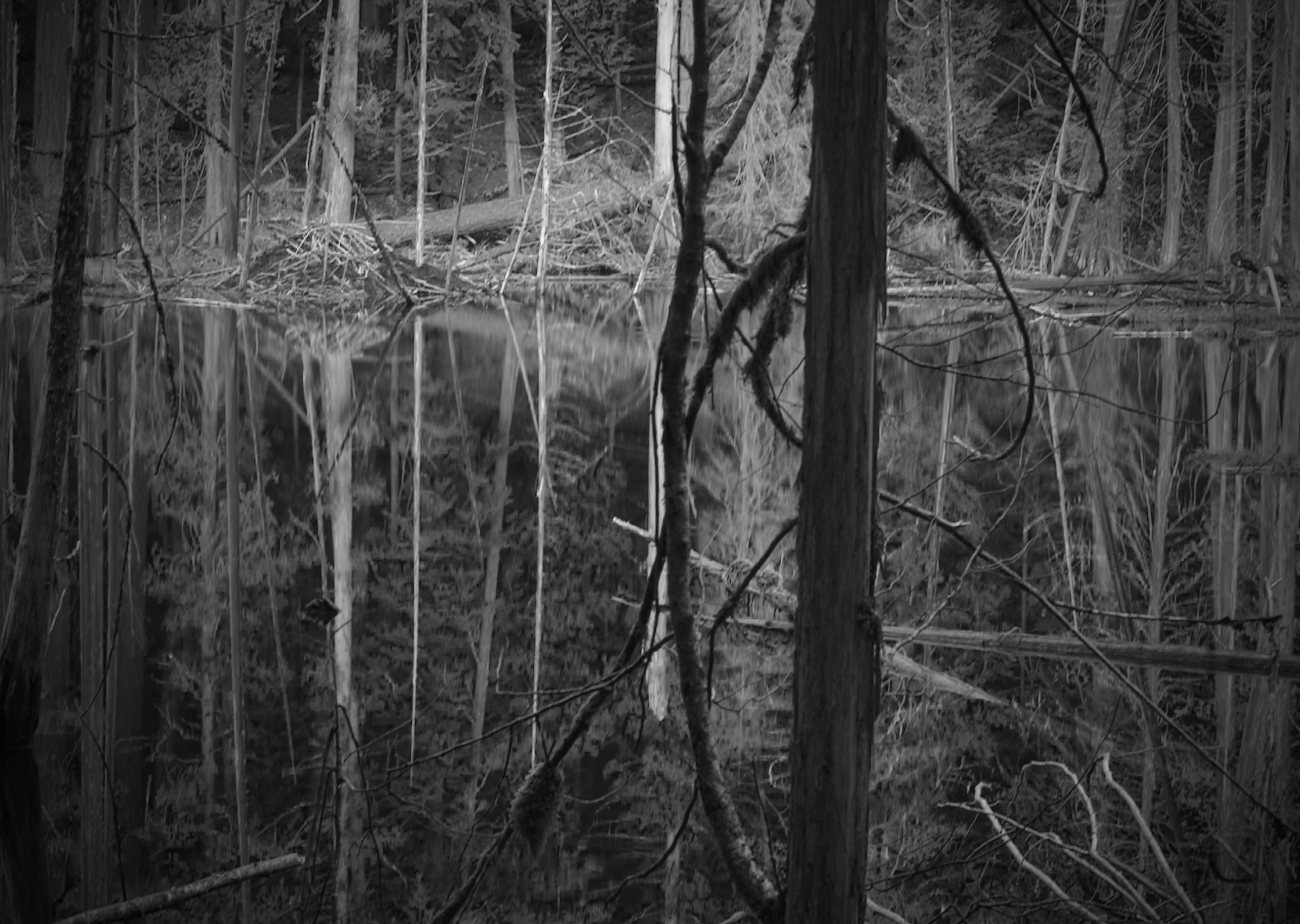
Beaver Pond
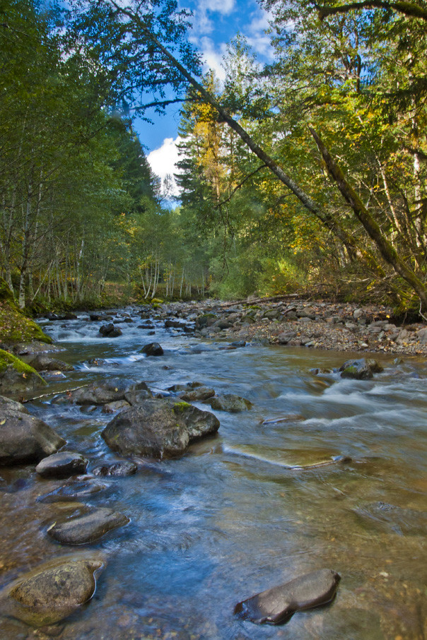
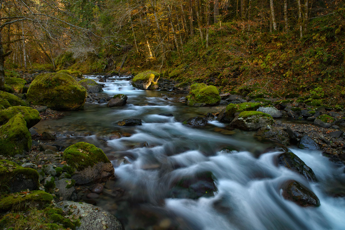
Looking up creek
IMG_7385.jpg
751_2013_10_USA_Mt Rainier
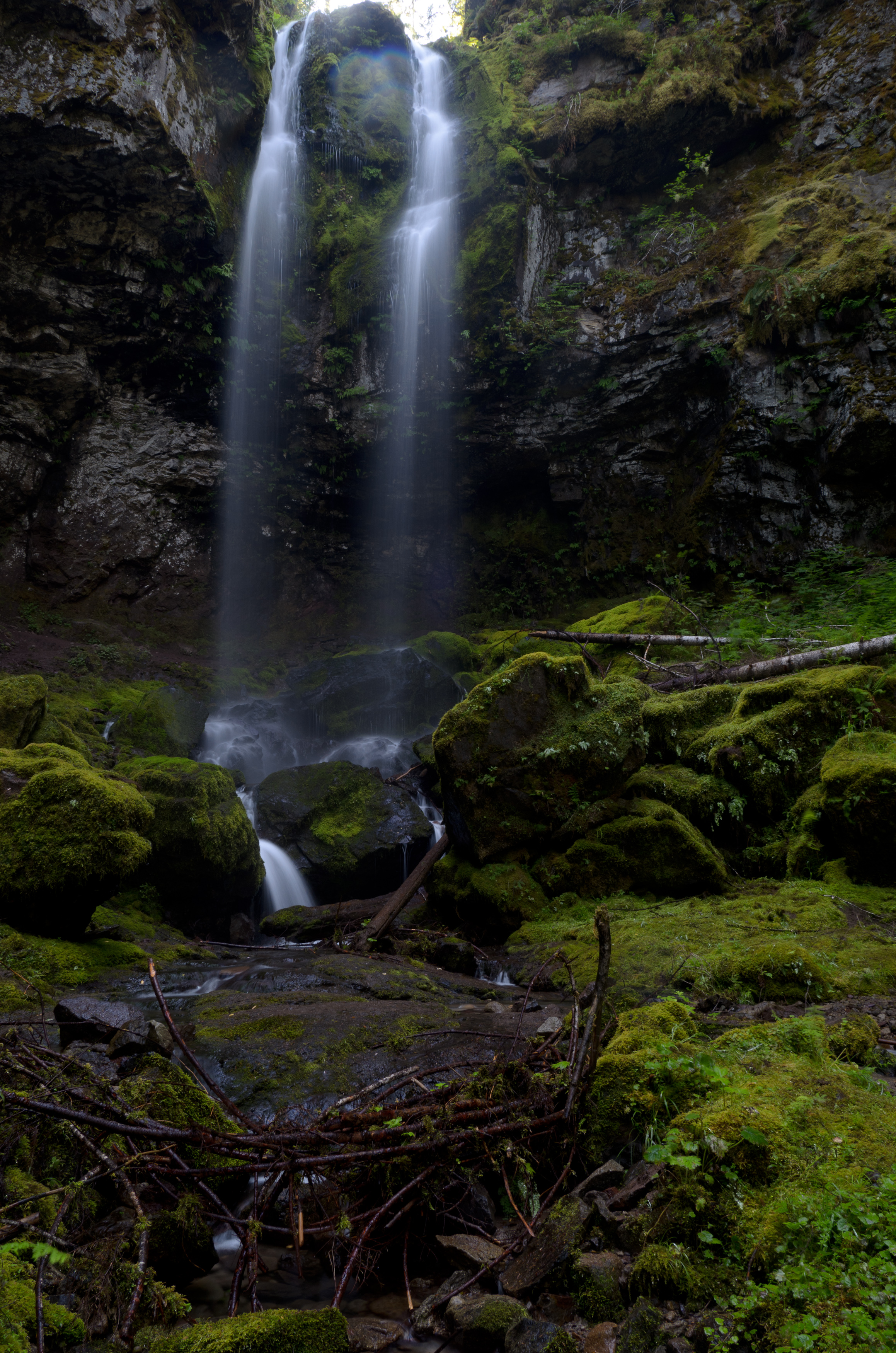
Covell Creek Falls
IMG_7387.jpg
gifford pinchot national forest 002
Angle Hair
Sweetness and Solitude
into the woods
gifford pinchot national forest 001
Topographic Map of Stover Rd, Randle, WA, USA
Find elevation by address:

Places near Stover Rd, Randle, WA, USA:
White Pass
1359 Silverbrook Rd
Packwood
132 Alta Dr
Alpine Drive
1095 Silverbrook Rd
1096 Silverbrook Rd
Burl Ln
Randle, WA, USA
Riverdance Lane
Packwood Lake Trailhead
Lake Creek Drive
Tower Rock Campground
142 Young Rd
Jack Fir Court West
10205 Us-12
Alderwood Drive
879 Cannon Rd
105 Jack Fir Ct E
Jack Fir Court East
Recent Searches:
- Elevation of Corso Fratelli Cairoli, 35, Macerata MC, Italy
- Elevation of Tallevast Rd, Sarasota, FL, USA
- Elevation of 4th St E, Sonoma, CA, USA
- Elevation of Black Hollow Rd, Pennsdale, PA, USA
- Elevation of Oakland Ave, Williamsport, PA, USA
- Elevation of Pedrógão Grande, Portugal
- Elevation of Klee Dr, Martinsburg, WV, USA
- Elevation of Via Roma, Pieranica CR, Italy
- Elevation of Tavkvetili Mountain, Georgia
- Elevation of Hartfords Bluff Cir, Mt Pleasant, SC, USA