Elevation of Stottesdon, Kidderminster DY14, UK
Location: United Kingdom > England > Shropshire >
Longitude: -2.4838296
Latitude: 52.4416031
Elevation: 188m / 617feet
Barometric Pressure: 99KPa
Elevation Map:
Satellite Map:
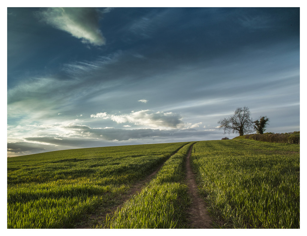
Related Photos:

TELEGRAPH ROAD

View from a Bridge. 16

View from a Field Gate. 20

The View From The Window

View from the Shadows. 20

View from a bridge. 18

STEP BACK IN TIME TAKE 2

Brown Clee to Long Myndd. 20
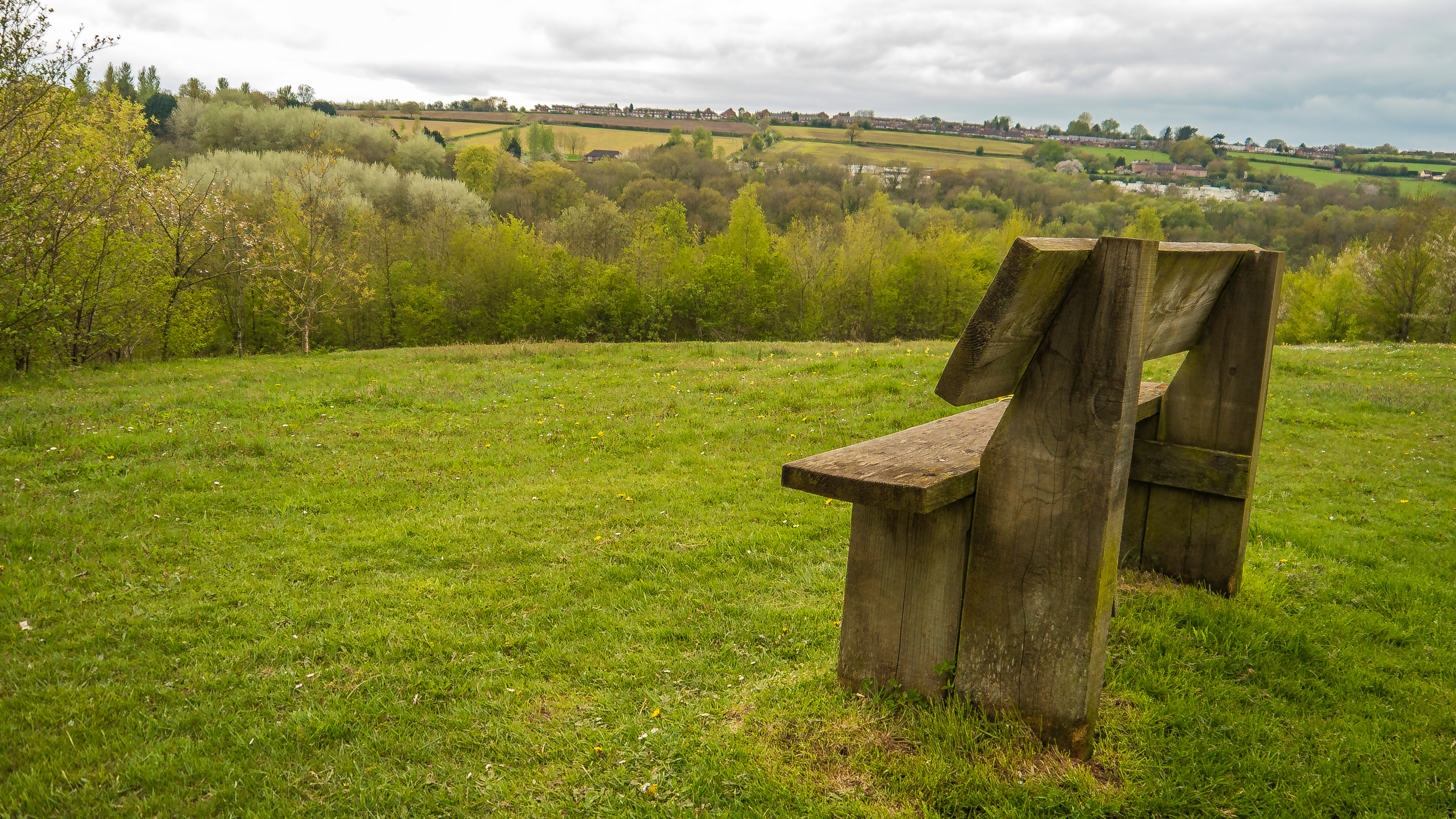
Looking Out Over The Severn Valley

Lookout on the Welsh Marches. 20

"What do YOU mean.....Time for lunch?" 20

Three sheep in a ditch. 20

Home and Tea. 20

Hi-Tech Fencing. 20

Brown Clee...

Out on the Shropshire Way. 20

A Green Beastie. 17

Stairway to ..........

Shropshire in the Spring. 20

Kinver Edge

Portrait of Enville Church

Upper Arley in colour. 16

Upper Arley.15

Winter Sunset over the River Severn.16

Fat Ducks in Arley.16

Frozen Grass. 16

Ready and waiting......

Morning....
Over the hill and far away....

Homeward bound....Again. 16

Englands green and pleasant land. 17

Glorious Yellow....

Picnics and Sheepspotting. 17

Deep Texture For Halloween

A Small Town Of Dreams

Brown Clee Hill and Shropshire Plain. 17

See you again Sunday then. 17

Views from Clee Hill.

Think I'll go here today. 17

River Severn, Bridgnorth, Shropshire

75 years
Topographic Map of Stottesdon, Kidderminster DY14, UK
Find elevation by address:

Places in Stottesdon, Kidderminster DY14, UK:
Places near Stottesdon, Kidderminster DY14, UK:
Dy14 8ne
Cleobury Mortimer
Hopton Wafers
Wilkins Close
3 Carlton Rise, Highley, Bridgnorth WV16 6EN, UK
Wv16 6eq
Doddington
Wv16 6jj
Highley
Bridgnorth
Coreley
Clows Top
Clows Top
35 A, Tenbury Wells WR15, UK
Cleehill
Dy12 2un
Abdon
Malthouse Barn
Long Bank
Wr15
Recent Searches:
- Elevation of Corso Fratelli Cairoli, 35, Macerata MC, Italy
- Elevation of Tallevast Rd, Sarasota, FL, USA
- Elevation of 4th St E, Sonoma, CA, USA
- Elevation of Black Hollow Rd, Pennsdale, PA, USA
- Elevation of Oakland Ave, Williamsport, PA, USA
- Elevation of Pedrógão Grande, Portugal
- Elevation of Klee Dr, Martinsburg, WV, USA
- Elevation of Via Roma, Pieranica CR, Italy
- Elevation of Tavkvetili Mountain, Georgia
- Elevation of Hartfords Bluff Cir, Mt Pleasant, SC, USA