Elevation of Stilperweg 8, Schmallenberg, Germany

Location: Germany > North Rhine-westphalia > Arnsberg > Schmallenberg > Hundesossen >

Longitude: 8.20521

Latitude: 51.13315

Elevation: 350m / 1148feet

Barometric Pressure: 97KPa

Elevation Map:

elevation map of Stilperweg 8, Schmallenberg, Germany

Satellite Map:

Satellite map of Stilperweg 8, Schmallenberg, Germany

Related Photos:

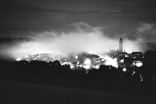
blackandwhite panorama film fog night analog 50mm licht nikon long exposure fuji nebel view nacht fine grain wolke f100 150 stadt neopan 100 nikkor f18 schwarzweiss feuer hsk sauerland laternen langzeitbelichtung selfdeveloped schmallenberg adonal selbstentwickelt scheeweg
the fog
schnee bike bicycle deutschland canyon nordrheinwestfalen fahrrad roadbike sauerland rennrad radfahren radsport mittelgebirge rothaargebirge oberhundem ultimatecfslx westrothaarhöhen
Neulich, nahe dem Rhein-Weser-Turm
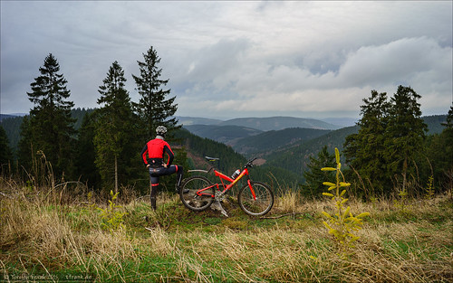
bike bicycle deutschland mountainbike mtb cannondale wald nordrheinwestfalen fahrrad castelli jacke fullsuspension kleidung sauerland radfahren schmallenberg radsport mittelgebirge rothaargebirge alphajacket winterbergerhochland superv900
Rothaarsteig View
bike bicycle deutschland cyclist canyon nordrheinwestfalen fahrrad castelli jacke roadbike wittgenstein rennrad radfahren radsport mittelgebirge berghausen rothaargebirge alphajacket wittgensteinerkammer ultimatecfslx
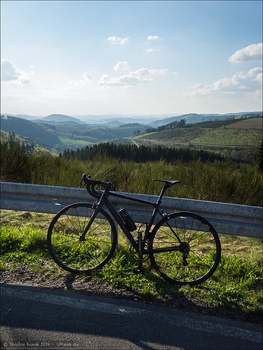
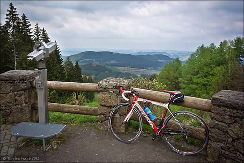
Stopping for the view
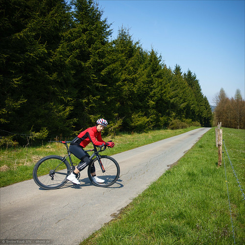
deutschland canyon nordrheinwestfalen fahrrad wittgenstein rennrad radfahren radsport mittelgebirge wingeshausen strase rothaargebirge ultimatecfslx westrothaarhöhen
Am "Jagdhaus-Pass"
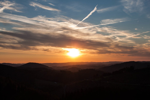
sunset view badberleburg albrechtsplatz
Another Sunset
road bike bicycle deutschland cycling canyon nordrheinwestfalen fahrrad sauerland rennrad radfahren radsport mittelgebirge rothaargebirge albrechtsplatz lennekessel ultimatecfslx
Fernsicht über den Lennekessel
sport deutschland merida wintersport nordrheinwestfalen fahrrad wittgenstein radfahren radsport mittelgebirge rothaargebirge skilanglauf crossrad cyclocross4d
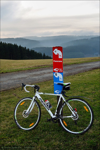
Panoramaloipe Aue-Wingeshausen
schnee winter snow landscape deutschland himmel wolke wolken nordrheinwestfalen wittgenstein mittelgebirge rothaargebirge wittgensteinerkammer birkefehl
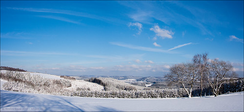
Wittgensteiner Land im Winter
deutschland pflanze baum deu nordrheinwestfalen sauerland mittelgebirge rothaargebirge kirchhundem oberhundem lennekessel
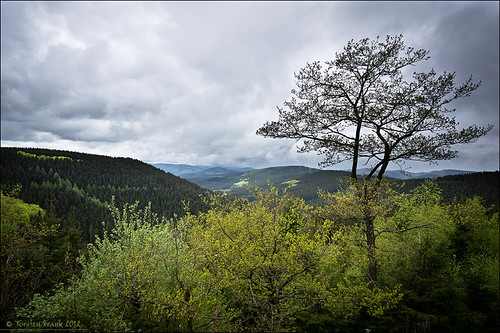
Alpenhaus View
sport deutschland technik verkehr deu nordrheinwestfalen fahrrad marke granturismo sauerland rennrad radfahren radsport mittelgebirge rothaargebirge lennestadt wiliertriestina hohebracht lennekessel
View from the "Hohe Bracht"
plant water bike bicycle sport deutschland energy wasser power energie technik architektur kanal fluss verkehr nordrheinwestfalen fahrrad renewable roadbike marke granturismo jugendstil sauerland hydropower lenne rennrad radfahren wasserkraft wasserkraftwerk radsport epoche rechen wasserbau headwater erneuerbareenergie wasserkraftanlage gebã¤ude bamenohl wiliertriestina obergraben
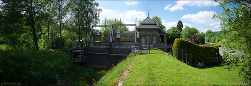
Intake and head water view of Bamenohl hydro power plant
panorama deutschland deu nordrheinwestfalen sauerland winterberg mittelgebirge rothaargebirge oberkirchen winterbergerhochland
Sauerland-View to Schmallenberg
city nature landscape geotagged fun deutschland district natur stadt nrw amusementpark landschaft deu nordrheinwestfalen funpark kreis sauerland brd wildpark bundesrepublikdeutschland spas northrhinewestphalia freizeitpark panoramaview frg panoramablick kirchhundem panoramapark holidaytrips mtiger88 mtiger federalrepublicgermany rinsecke geo:lat=5106949023 geo:lon=817326945
Panorama Blick
panorama deutschland deu nordrheinwestfalen sauerland mittelgebirge lennestadt hohebracht
October Rides, Part 1: Hills of the Sauerland
canon deutschland powershot deu nordrheinwestfalen rahmen sauerland schmallenberg mittelgebirge rothaargebirge s95 lennekessel
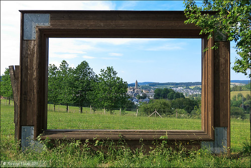
Schmallenberg. Framed.
deutschland laub pflanze baum deu nordrheinwestfalen herbstlaub sauerland mittelgebirge lennestadt hohebracht
October Rides, Part 1: Hohe Bracht
panorama giant deutschland laub herbst pflanze baum nordrheinwestfalen fahrrad cyclocross birke herbstlaub aue wittgenstein radfahren brenizer radsport mittelgebirge laubbaum rothaargebirge crossrad wittgensteinerkammer tcxadvancedpro1
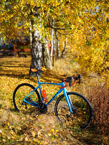
Unter Herbst-Birken
deutschland canyon nordrheinwestfalen fahrrad sauerland rennrad radfahren radsport sportler hohebracht ultimatecfslx teamwittgenstein
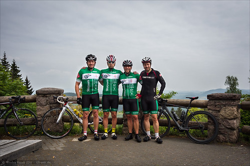
An der Hohen Bracht
winter germany nordrheinwestfalen sauerland westfalen nordrhein hochsauerland northrhine landenbeck
20140223-Canon EOS 6D-2570
schnee winter blackandwhite bw snow forest landscape fir landschaft firs tanne tannen sauerland winterlandscape winterlandschaft landscapephotography winterwald schwarzweis hochsauerland tannenwald winterforest landschaftsfotografie jagdhaus
fir forest
winter germany fujifilm lightmeter nordrheinwestfalen schmallenberg camerasandlenses colorefexpro niksoftware nikplugins sekonicl408 fujixe1 fujinonfx1855mm daytimeseasons developmodul
150107-XE1-3194.jpg
desktop light wallpaper cloud mountain storm tree rain fog night forest germany dark landscape evening background hill bad valley nrw winterberg schmallenberg berleburg albrechtsplatz
Albrechtsplatz in the storm
takingphotos sauerland walkingaround rothaarsteig openedit cloudcollection iphoneography eyeemnaturelover
Downhill Walking Around Taking Photos Rothaarsteig Sauerland Eye Em Nature Lover Cloud_collection IPhoneography OpenEdit at Alpenhaus
wood nature germany relax landscape geotagged deutschland nrw landschaft wald nordrheinwestfalen sauerland tamron1750 höhenflug finnentrop kreisolpe finnentropfaulebutter
Relax!
light germany badberleburg
There´s a light
blue panorama sun sunlight green germany landscape outside photostream sauerland schmallenberg northrhinewestphalia daytrees iphone5s
Drove through the Sauerland yesterday
sauerland schmallenberg grüneberg bauernland kückelheim hawerland
Durchs Bauernland
sport outdoor pflanze baum wandern weg wanderweg rothaarsteig waldweg rauhreif laubbaum
Rothaarsteig im Januar 2014
olympus
Ramses Sommerresidenz im Sauerland
trekking germany deutschland day cloudy hiking natur trail nrw wandern wanderweg sauerland 2014 wanderwege fernwanderweg höhenflug weitwanderweg maerzbecher sauerlandhöhenflug deutschlandzufus deutschlandzufuss
2014 Germany // Sauerland Höhenflug
geotagged deutschland osm deu nordrheinwestfalen kapelle eslohe openstreetmap sakral bremscheid geo:lat=5123645453 geo:lon=816597193
Bremscheid, Kapelle
olympus wanderung sauerland em1 alpenhaus hochsauerland sauerlandhütte wlangemeyer
Hochsauerland zu Abend
trekking germany deutschland day cloudy hiking natur trail nrw wandern wanderweg sauerland 2014 wanderwege fernwanderweg höhenflug weitwanderweg maerzbecher sauerlandhöhenflug deutschlandzufus deutschlandzufuss
2014 Germany // Sauerland Höhenflug
winter germany town village valley nordrheinwestfalen sauerland westfalen nordrhein eslohe hochsauerland northrhine
20140223-Canon EOS 6D-2452
deutschland wasser natur bach wald nordrheinwestfalen langzeitbelichtung hilchenbach projekt52 4x13ist2014 4x13ist201447
[Q4:8/13]
trekking germany deutschland hiking natur trail nrw wandern wanderweg sauerland 2014 wanderwege fernwanderweg höhenflug weitwanderweg maerzbecher sauerlandhöhenflug deutschlandzufus deutschlandzufuss
2014 Germany // Sauerland Höhenflug // Josef s Alm
HDR_Oberelspe_14.10.2014_
deutschland pflanze blume nordrheinwestfalen wittgenstein löwenzahn butterblume mittelgebirge blütenpflanze rothaargebirge birkelbach wittgensteinerkammer
Löwenzahnwiese ohne Rennrad