Elevation of Sterling Ct, Hampstead, MD, USA

Location: United States > Maryland > Carroll County > 8, Hampstead > Hampstead >

Longitude: -76.864748

Latitude: 39.631893

Elevation: 247m / 810feet

Barometric Pressure: 98KPa

Elevation Map:

elevation map of Sterling Ct, Hampstead, MD, USA

Satellite Map:

Satellite map of Sterling Ct, Hampstead, MD, USA

Related Photos:

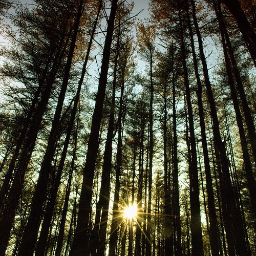
trees color tree green 6x6 tlr film analog rural forest square lens reflex sticks woods focus mechanical pennsylvania mason border patrick twin dixon mat v 124g watershed trunk pro epson medium format manual 500 hanover expired joust yashica 220 boondocks 80mm f35 fujicolor c41 yashinon v500 160s autaut patrickjoust
Deer Road
unitedstates pennsylvania ff 2012 glenrock mff spoutwood
Chillin'
boy sunset summer sky orange cliff youth landscape golden rocks child dusk hill maryland foliage bluff cliffface reflectedlight geologicalformation carrollcountymaryland bestcapturesaoi elitegalleryaoi zunikoff enteredinsyb
Summer of '14
sky clouds nikon 14mm d700 1424mmf28ged
Sunset at Long Arm Dam 8.6.2012
county chris green photography md nikon kaskel cows farm d70s maryland pasture fields carroll
Fields of Green
autumn clouds landscape shed fences pony ponies
Nice Aftrernoon for a Walk
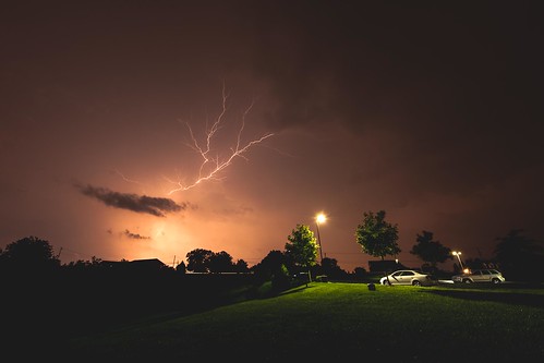
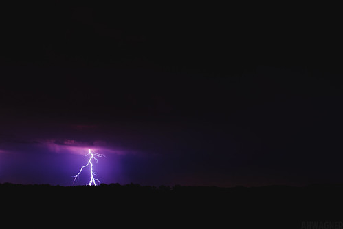
sky nature clouds landscape nikon thunderstorm lightning lightningbolts 14mm lightningstorm d700 1424mmf28ged lightningshow
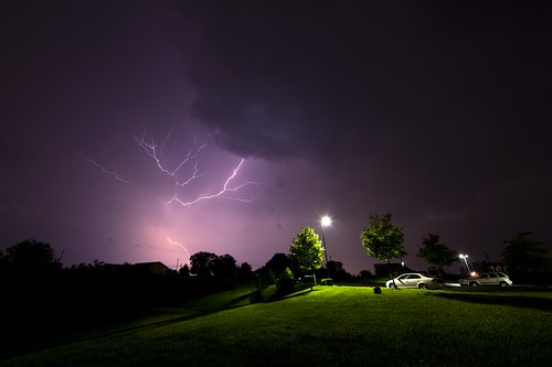
Lightning Storm 8.14.2012
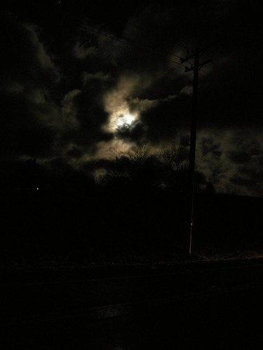
road sky cloud moon night dark landscape wire nikon telephone luna pole headlight
Hampstead-Mexico Nights
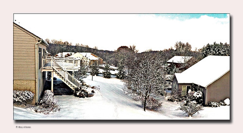
winter snow westminster landscape md carroll
After the storm.
sunset summer sky silhouette clouds rural skyscape landscape evening cornfield dusk farm carrollcountymaryland uppercomaryland sonya65v summer2014 zunikoff
Sunset over Cornfield
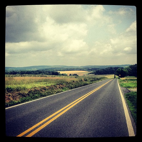
square squareformat iphoneography instagramapp xproii uploaded:by=instagram foursquare:venue=4d043ff9c2e537042b6eb767
Looking into Pennsylvania
blue trees sunset red lake reflection nature water colors silhouette clouds 35mm canon landscape eos purple f14 magenta reservoir 7d 35l f14l
Sunset [07.29.12]
storm nature landscape nikon thunderstorm lightning stormclouds lightningbolts 14mm lightningstorm d700 1424mmf28ged lightningshow
Lightning Storm 8.14.2012
square squareformat iphoneography instagramapp uploaded:by=instagram
Walking through #finksburg
longexposure sunset sky sun sunlight nature water clouds 35mm reflections landscape nikon dusk pennsylvania hanover longarmdam d700 pennsylvaniasunset 35mmf14g 10stopfilter bw10stopfilter
Sunset at Long Arm Dam 8.6.2012
uploaded:by=flickrmobile flickriosapp:filter=nofilter
Indiana Jones-ing hard as fuck out in the woods today.
uploaded:by=flickrmobile flickriosapp:filter=nofilter 5900mtgileadrd
Mt. Gilead rd
storm nature canon landscape eos 50mm 7d bolt strike thunderstorm lightning thunder f12 50l f12l
Lightning [07.02.12]
square squareformat iphoneography instagramapp uploaded:by=instagram
Good morning #finksburg
square squareformat iphoneography instagramapp uploaded:by=instagram foursquare:venue=4bf80fdc5ec320a1420588d3
EPIC ENDING TO AN EPIC DAY!!! #arcadiademolitionderby w/ @lopophoto @yoyojosh & @dana_bee
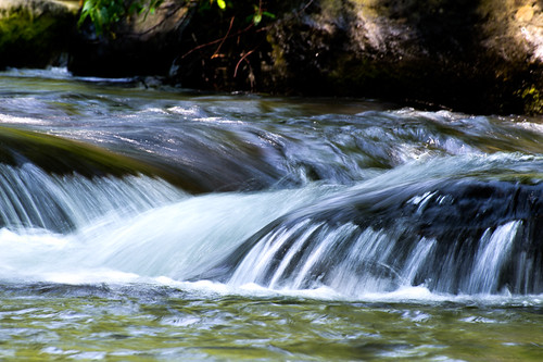
water rock stream hdr highdynamicrange
Stream-9294H