Elevation of Stephenson Rd, Irasburg, VT, USA
Location: United States > Vermont > Orleans County > Irasburg >
Longitude: -72.340976
Latitude: 44.8218984
Elevation: 447m / 1467feet
Barometric Pressure: 96KPa
Elevation Map:
Satellite Map:
Related Photos:

Views From the Green

Cabin View

Cabin View Outside

St. Mary Star of the Sea Catholic Church - 5

Enjoying the View

Sevarian Sunset
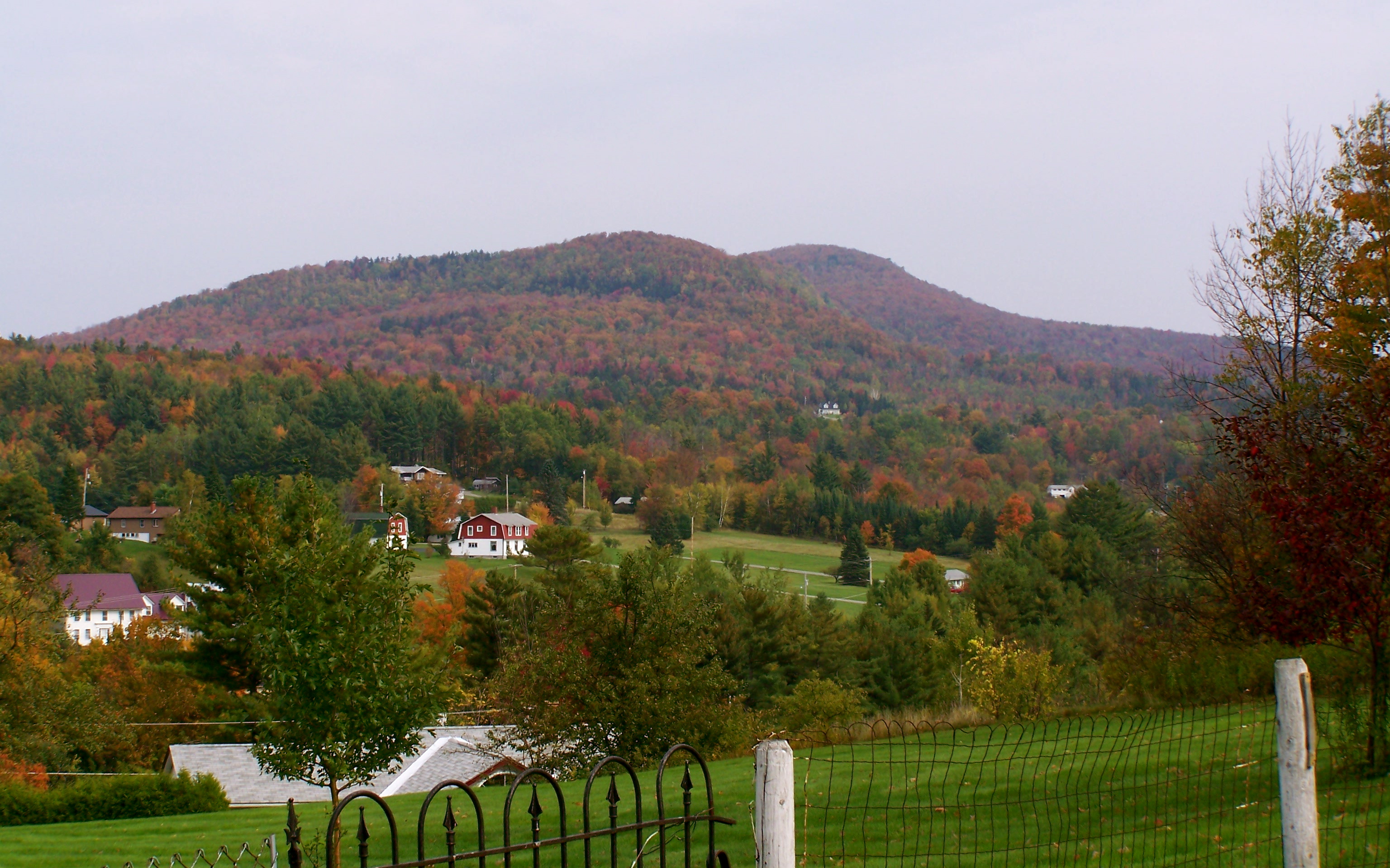
View of Barton Mountain
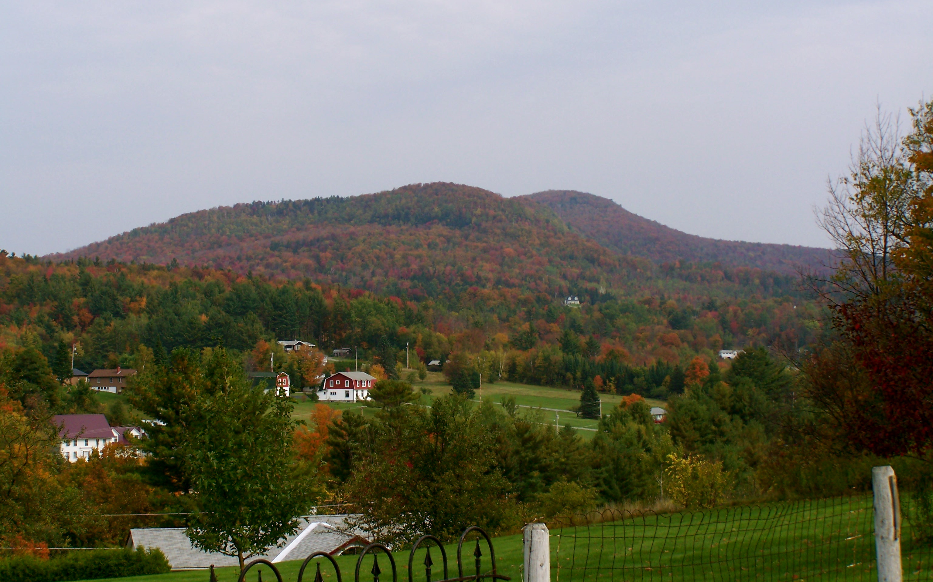
View of Barton Mountain

View from Christi's House, Albany, Vermont
Running views #nikerunning #jackrabbit #newyorkrunningcompany

My Point of View

Barton Public Library 16.jpg
View to the north
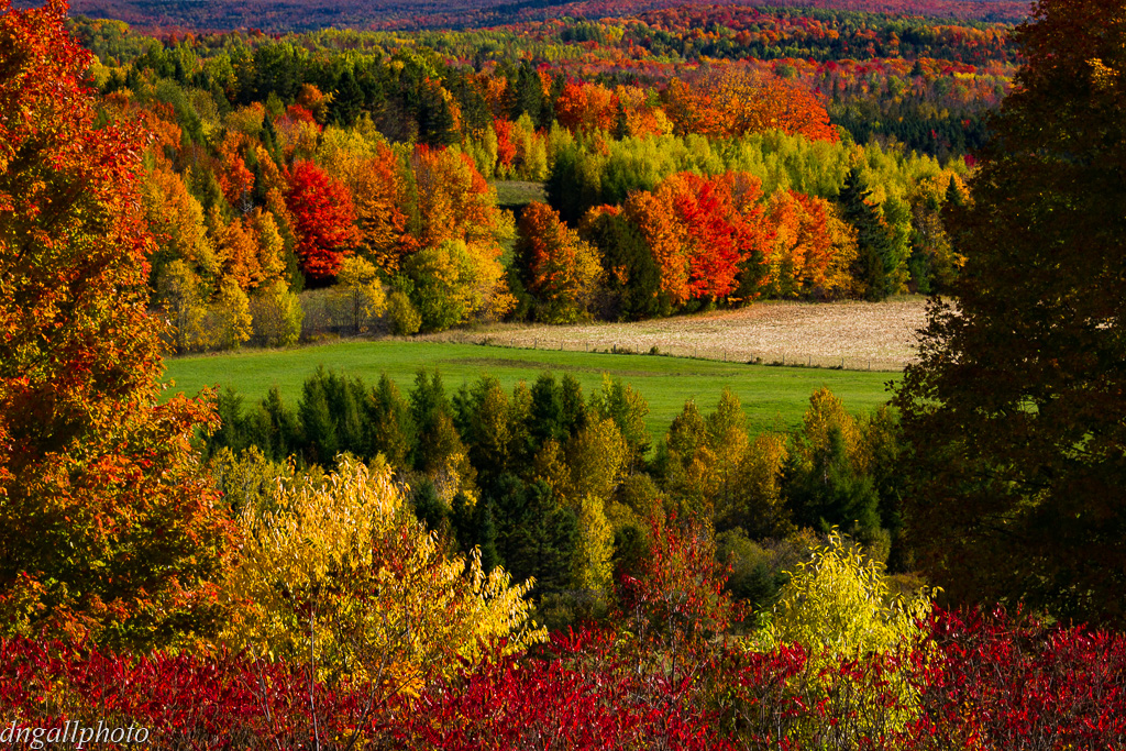
Vermont Fall

Number 12 Road - 16x9

Number 12 Road - 4x3

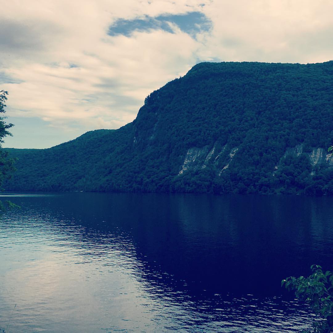
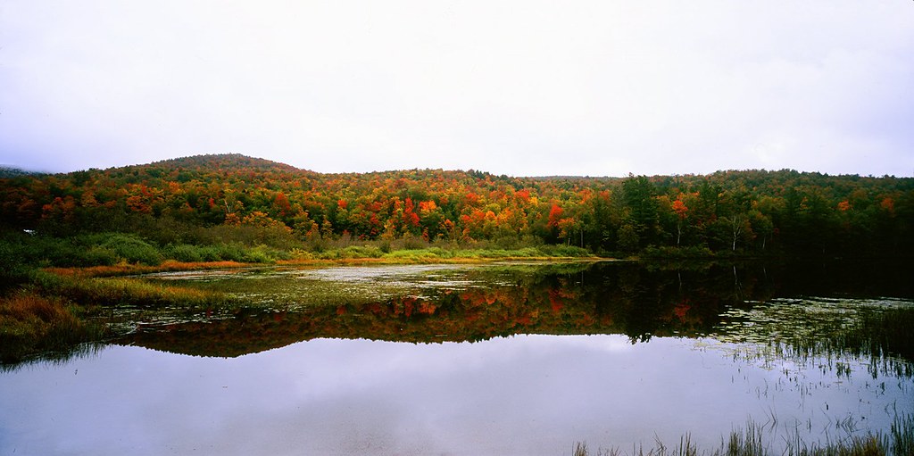
Crystal Lake - Barton, VT

Creek Road Spring_0739

Our first session at rowing camp took place on calm water this evening. Spectacular spot.

Kingdom Sunrise

high meadow trail.

Winter Carnival 2015: "A Clash of Carnivals: Superheroes vs. Villains"

Vermont -- Lake Eden Fall Foliage #2 panoramic
Vermont -- Lake Eden Fall Foliage #1 Panoramic

Fern Bog

Black Locust Tree (Robinia pseudoacacia) at CLFHA (10 of 42) June 08, 2013

Powderhorn lichen (Cladonia coniocraea) (May 11, 2013) 05

Barton River - 8 Jan 2016

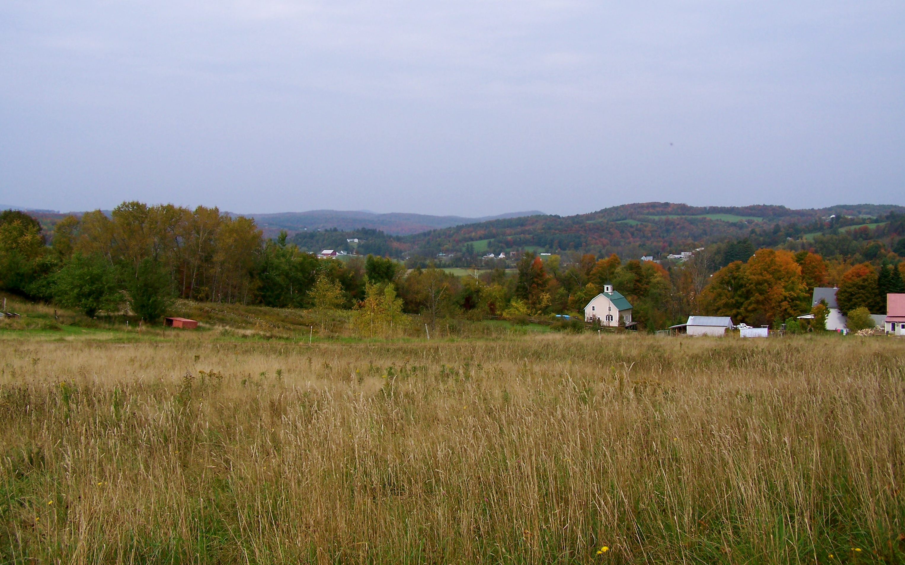
Country side

Farm Foliage

Pastel Sky on Sebasticook

Fall Path Barton VT 4 Nov 2015

Muskrat (Ondatra zibethicus) (May 11, 2013) 10
Topographic Map of Stephenson Rd, Irasburg, VT, USA
Find elevation by address:

Places near Stephenson Rd, Irasburg, VT, USA:
329 Stephenson Rd
329 Stephenson Rd
Irasburg
2920 Chamberlin Hill Rd
2920 Chamberlin Hill Rd
194 Holy Moly Rd
3360 Creek Rd
Albany
162 Sinon Rd
1062 Page Pond Rd
61 Sawmill Rd, West Glover, VT, USA
100 Damon Ln
535 Lost Nation Rd
Craftsbury Outdoor Center
52 Access Ln
964 Beach Hill Rd
West Glover
360 Beach Hill Rd
395 Beach Hill Rd
1449 Rodgers Rd
Recent Searches:
- Elevation of Corso Fratelli Cairoli, 35, Macerata MC, Italy
- Elevation of Tallevast Rd, Sarasota, FL, USA
- Elevation of 4th St E, Sonoma, CA, USA
- Elevation of Black Hollow Rd, Pennsdale, PA, USA
- Elevation of Oakland Ave, Williamsport, PA, USA
- Elevation of Pedrógão Grande, Portugal
- Elevation of Klee Dr, Martinsburg, WV, USA
- Elevation of Via Roma, Pieranica CR, Italy
- Elevation of Tavkvetili Mountain, Georgia
- Elevation of Hartfords Bluff Cir, Mt Pleasant, SC, USA