Elevation of Steinbruchgelände Wiehau, Wiehl, Germany
Location: Germany > North Rhine-westphalia > Cologne > Wiehl > Forst >
Longitude: 7.4743335
Latitude: 50.9748394
Elevation: 251m / 823feet
Barometric Pressure: 98KPa
Elevation Map:
Satellite Map:
Related Photos:
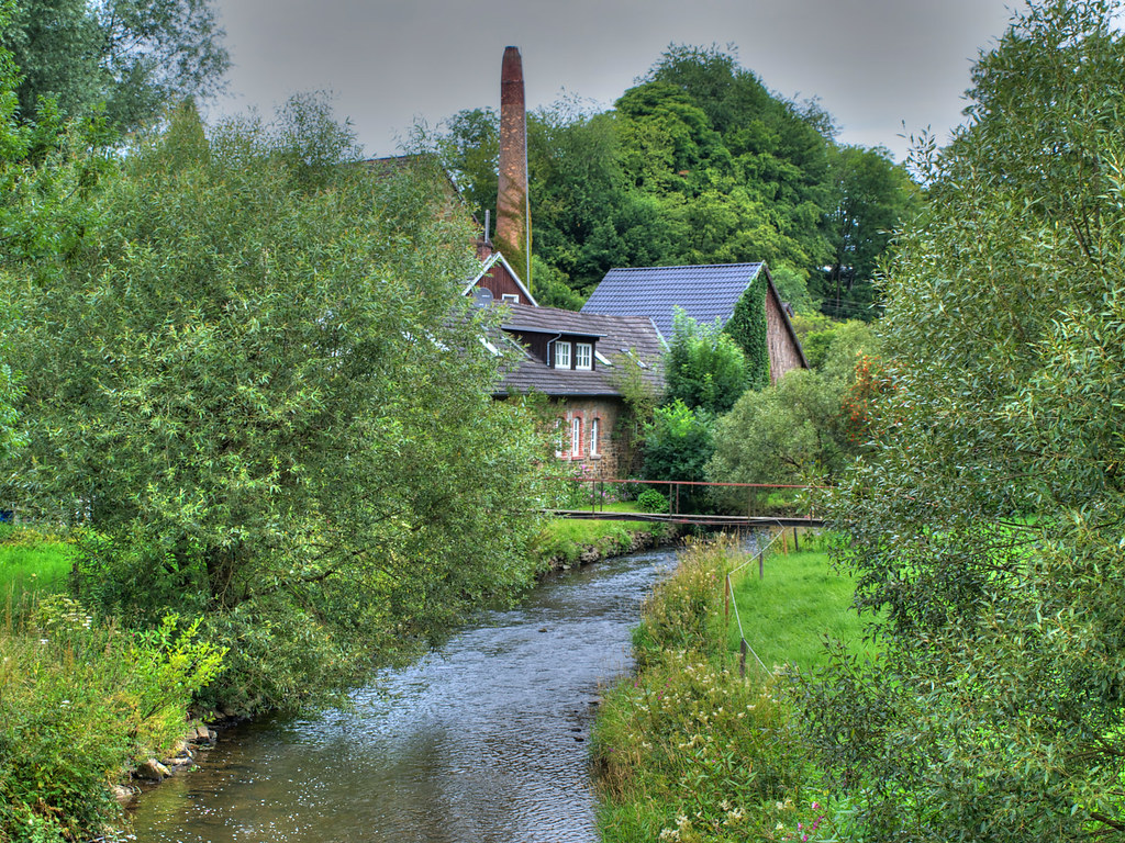
mill at Broeleck/Germany
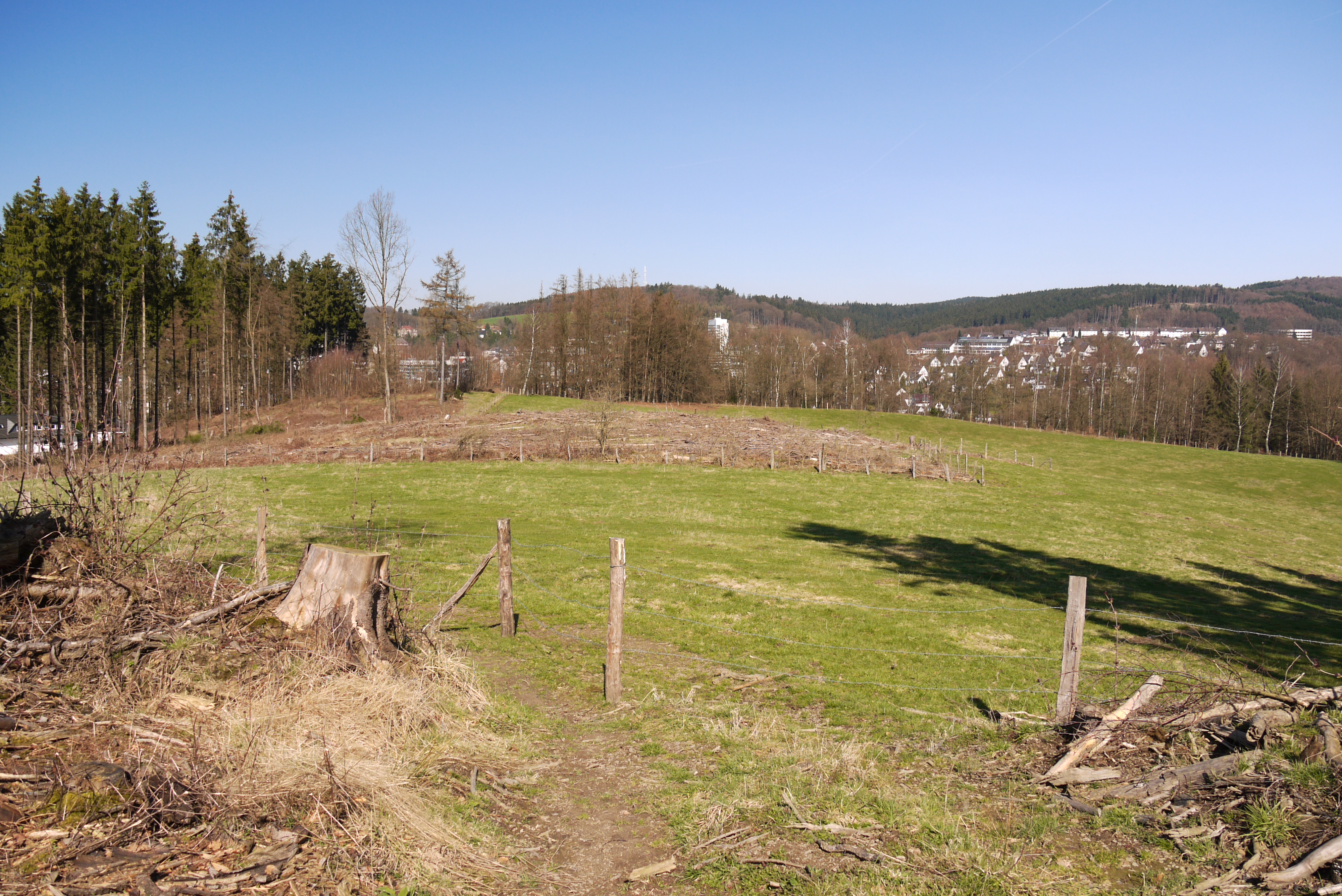
New view to Gummersbach

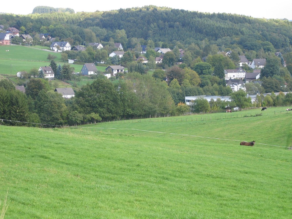
Gummersbach - Niederseßmar
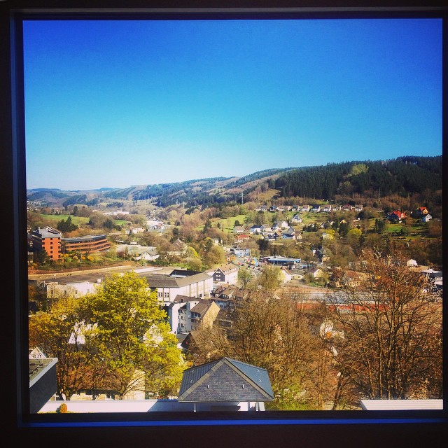
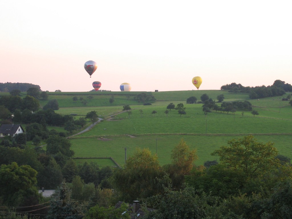
My window view #Gummersbach #Germany #spring
view from the cabin 1

Bergisches Land
view from our balcony
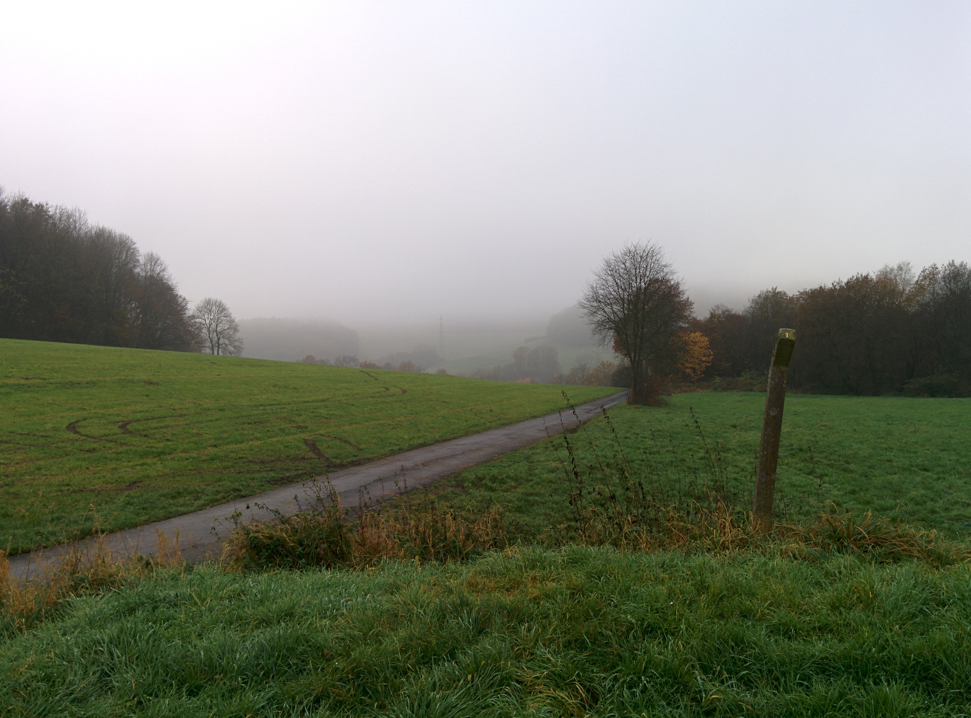
Foggy View from Niederseßmar direction Rospe
Topographic Map of Steinbruchgelände Wiehau, Wiehl, Germany
Find elevation by address:

Places near Steinbruchgelände Wiehau, Wiehl, Germany:
Forst
Wiehl
2a
Marienfeld
Wiesenweg 10, Much, Germany
Nümbrecht
Much
Talstraße 11, Much, Germany
Bölkum 41, Ruppichteroth, Germany
Bölkum
Schmitzhöfgen 3, Ruppichteroth, Germany
Oberbergischer Kreis
Freckhausen
Freckhausener Str. 13, Reichshof, Germany
Ruppichteroth
Oberbreidenbach
Auf der Hardt 17, Nümbrecht, Germany
Dorflinde 9, Windeck, Germany
Gutmannseichen
Karl-conrad-weg 18
Recent Searches:
- Elevation of Corso Fratelli Cairoli, 35, Macerata MC, Italy
- Elevation of Tallevast Rd, Sarasota, FL, USA
- Elevation of 4th St E, Sonoma, CA, USA
- Elevation of Black Hollow Rd, Pennsdale, PA, USA
- Elevation of Oakland Ave, Williamsport, PA, USA
- Elevation of Pedrógão Grande, Portugal
- Elevation of Klee Dr, Martinsburg, WV, USA
- Elevation of Via Roma, Pieranica CR, Italy
- Elevation of Tavkvetili Mountain, Georgia
- Elevation of Hartfords Bluff Cir, Mt Pleasant, SC, USA