Elevation of Steinbühl 16, Langula, Germany
Location: Germany > Thuringia > Unstrut-hainich-kreis > Langula >
Longitude: 10.4127214
Latitude: 51.1514755
Elevation: 250m / 820feet
Barometric Pressure: 0KPa
Related Photos:

Mühlhausen Thüringen
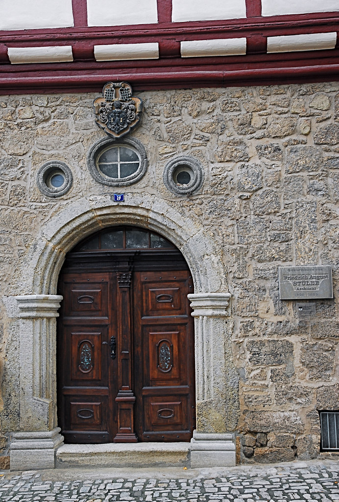
Mühlhausen-Thüringen Geburtshaus Friedrich August Stüler

De Ratsstrasse in Mühlhausen Thüringen

Mühlhausen - Thüringen nach die Wende
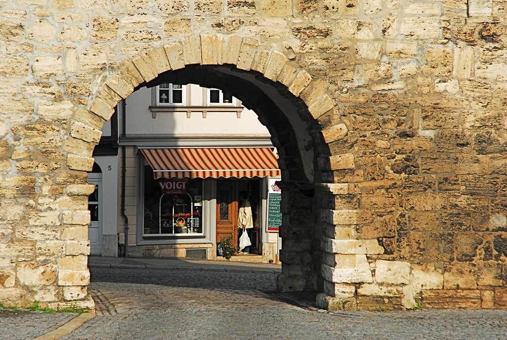
Mühlhausen Thüringen - Stadtmauer

Mühlhausen Thüringen

Now where is my pot of gold?!
National Park Hainich

National Park Hainich
National Park Hainich

Luftbild Mühlhausen
Luftbild Mühlhausen

trees .

trees .
germany.59-11

germany.23-15

germany.41-9

germany.10-11

germany.43-7

germany.18-18

germany.37-11

Stadtmauer Mühlhausen (145a)

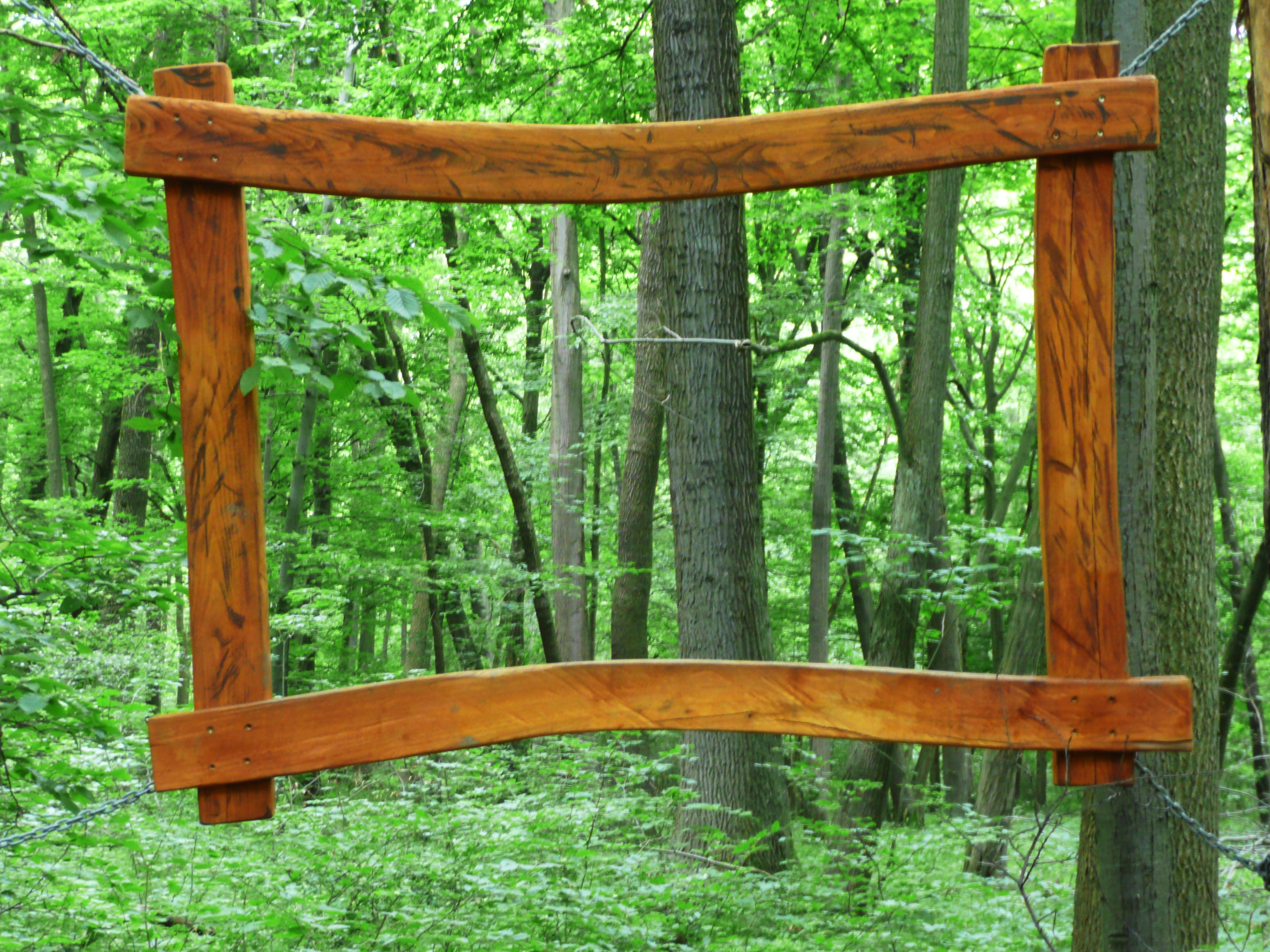
Path of Colors

Summer day ♥ I miss you

Geografischer Mittelpunkt Deutschlands & Opfermoor bei Niederdorla

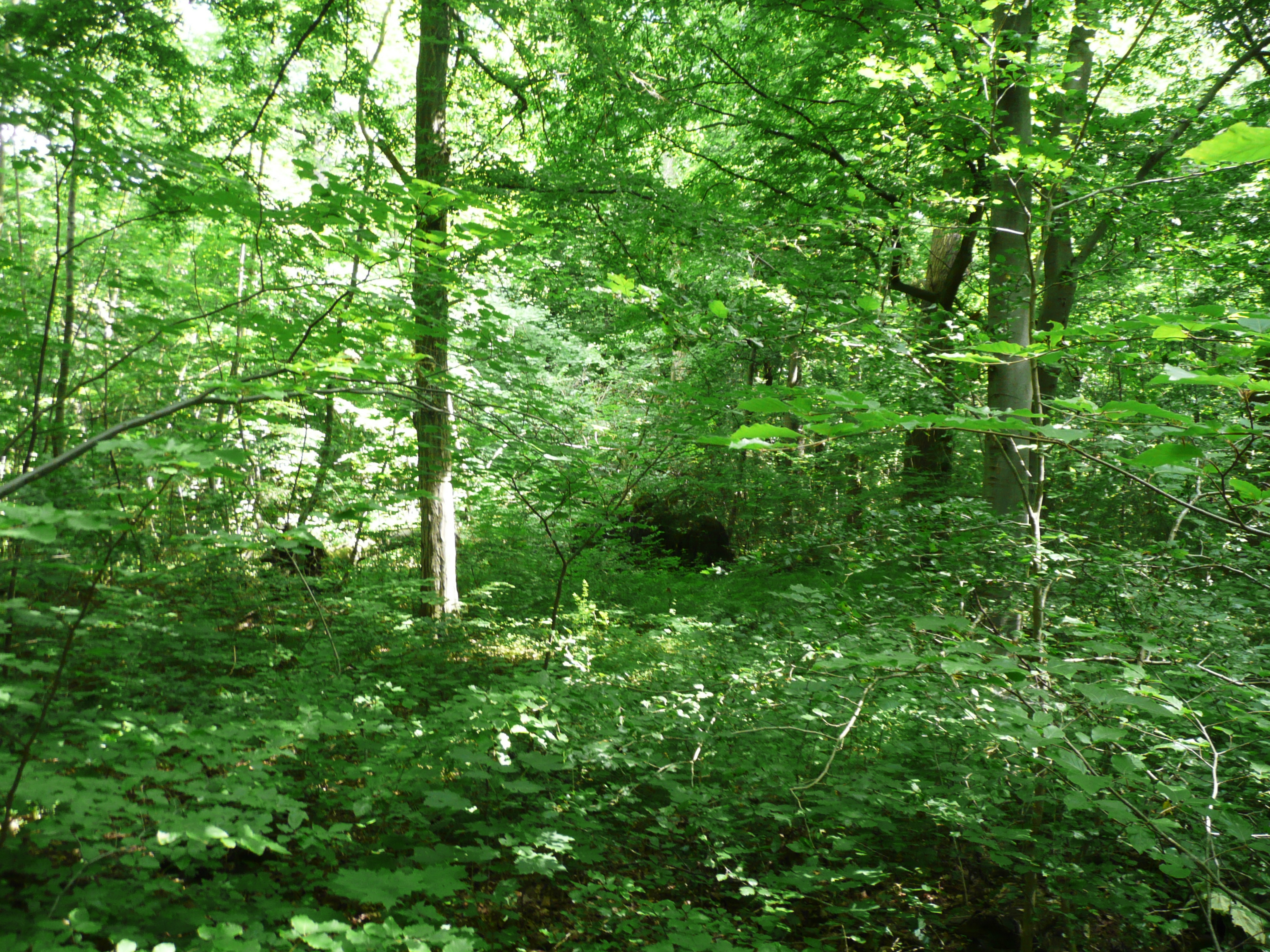
Native forest - Hainich National Park (Nationalpark Hainich)

Geografischer Mittelpunkt Deutschlands & Opfermoor bei Niederdorla

Baumkronenpfad Hainich Bad Langensalza
landscape ..

Geografischer Mittelpunkt Deutschlands & Opfermoor bei Niederdorla

Treffurt . Werra Valley

Landscape ..

Lonely Tree

Umbrella Rural Forest Thuringen Dark Landscape Germany Vscocam Outdoors Mountains Exploring Power In Nature Explore Morning Nature EyeEm Best Shots IPhoneography Winter

mystic place

Landscape .. Explored 17.5.2019

Mühlhausen . Thuringia

Full-Moonlight at Alpspitze, Germany

Blick auf Treffurt von der Burg Normannstein (Thüringen)

Geografischer Mittelpunkt Deutschlands & Opfermoor bei Niederdorla

Evangelische Kirche Mühlhausen
Topographic Map of Steinbühl 16, Langula, Germany
Find elevation by address:

Places near Steinbühl 16, Langula, Germany:
Steinbühl 14
Park
2 Max Künzel
Am Georgenborn 1
L1016 27-19
Bornsgasse 8
Langula
Wiggerstraße 18
Oberdorla
Schulstraße 1
Germany
Unnamed Road
Dorfstraße 14, Anrode, Germany
Hollenbach
Obermühle 8, Anrode, Germany
Dörna
Unstrut-hainich-kreis
Eigenrieden
Am Tonberg 1, Rodeberg, Germany
Rodeberg
Recent Searches:
- Elevation map of Greenland, Greenland
- Elevation of Sullivan Hill, New York, New York, 10002, USA
- Elevation of Morehead Road, Withrow Downs, Charlotte, Mecklenburg County, North Carolina, 28262, USA
- Elevation of 2800, Morehead Road, Withrow Downs, Charlotte, Mecklenburg County, North Carolina, 28262, USA
- Elevation of Yangbi Yi Autonomous County, Yunnan, China
- Elevation of Pingpo, Yangbi Yi Autonomous County, Yunnan, China
- Elevation of Mount Malong, Pingpo, Yangbi Yi Autonomous County, Yunnan, China
- Elevation map of Yongping County, Yunnan, China
- Elevation of North 8th Street, Palatka, Putnam County, Florida, 32177, USA
- Elevation of 107, Big Apple Road, East Palatka, Putnam County, Florida, 32131, USA
- Elevation of Jiezi, Chongzhou City, Sichuan, China
- Elevation of Chongzhou City, Sichuan, China
- Elevation of Huaiyuan, Chongzhou City, Sichuan, China
- Elevation of Qingxia, Chengdu, Sichuan, China
- Elevation of Corso Fratelli Cairoli, 35, Macerata MC, Italy
- Elevation of Tallevast Rd, Sarasota, FL, USA
- Elevation of 4th St E, Sonoma, CA, USA
- Elevation of Black Hollow Rd, Pennsdale, PA, USA
- Elevation of Oakland Ave, Williamsport, PA, USA
- Elevation of Pedrógão Grande, Portugal