Elevation of Steamboat Rd, Irvington, VA, USA
Location: United States > Virginia > Lancaster County > > Irvington >
Longitude: -76.420302
Latitude: 37.6587249
Elevation: 9m / 30feet
Barometric Pressure: 101KPa
Elevation Map:
Satellite Map:
Related Photos:
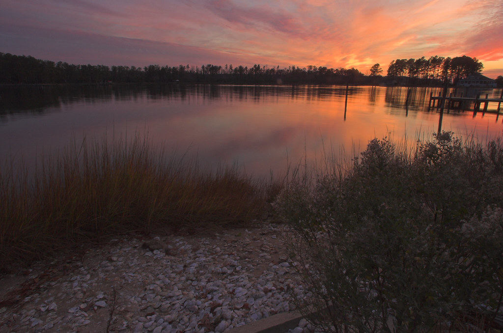
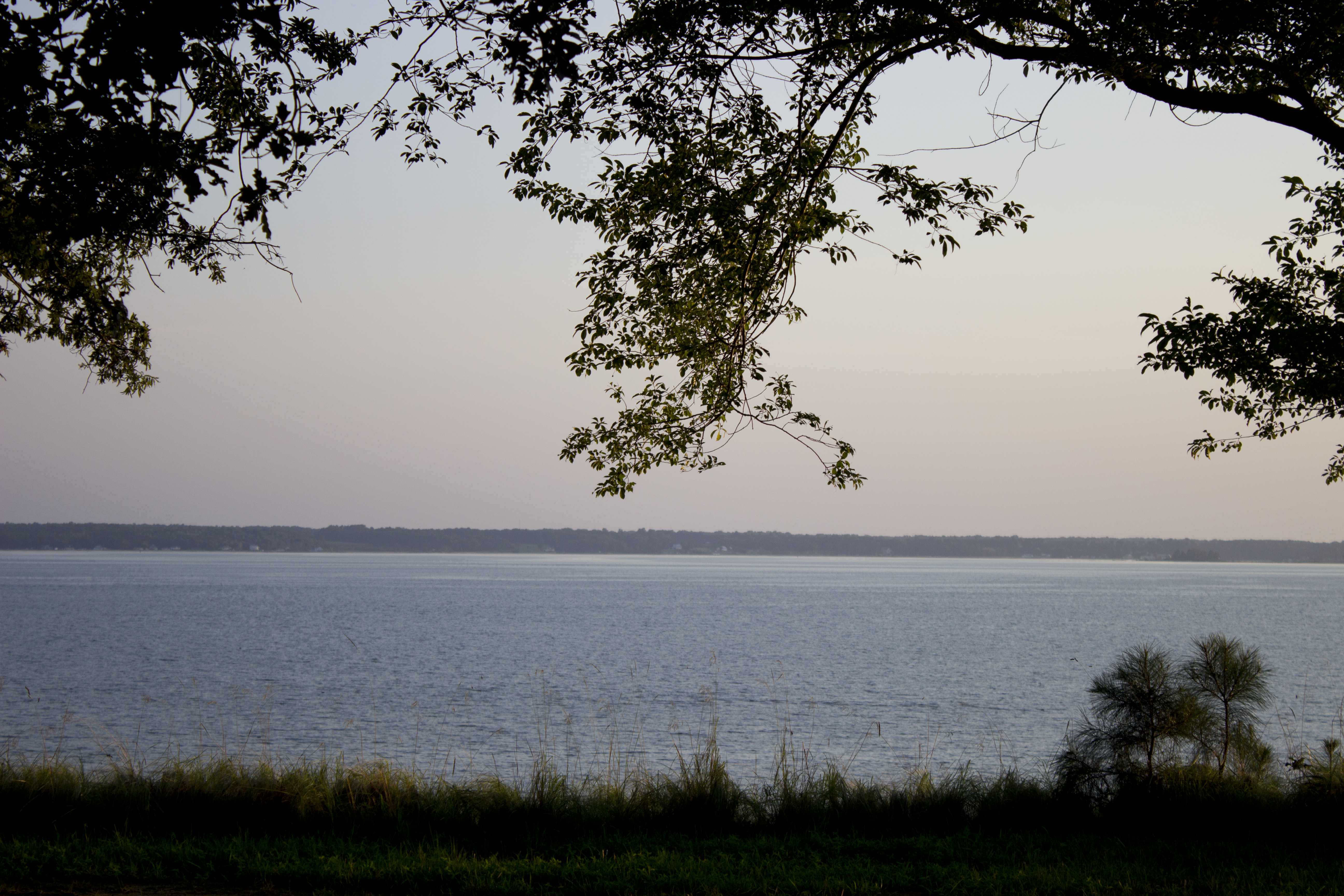
Special view of the Corrotoman River
"Popcorn" Sky

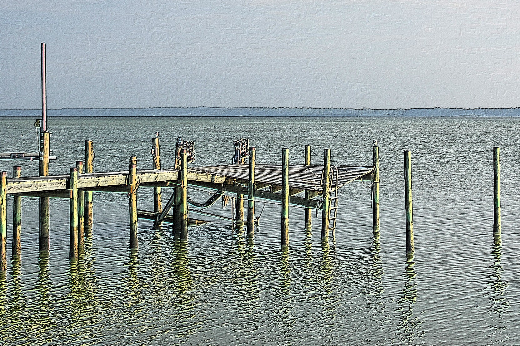
Deck View 4
View from Lighthouse - Stingray Point Marina
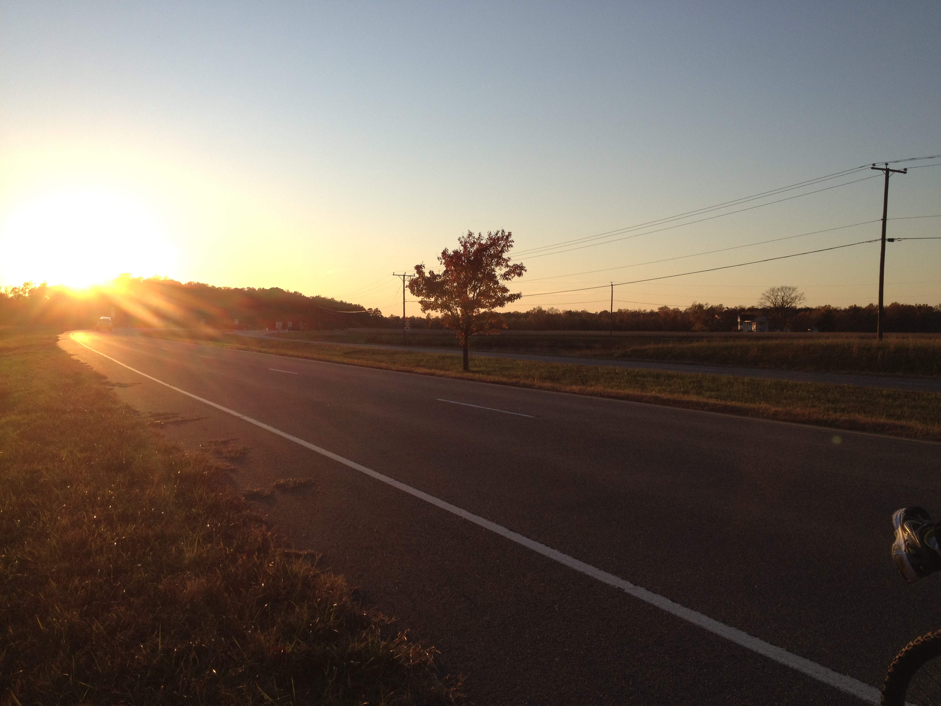
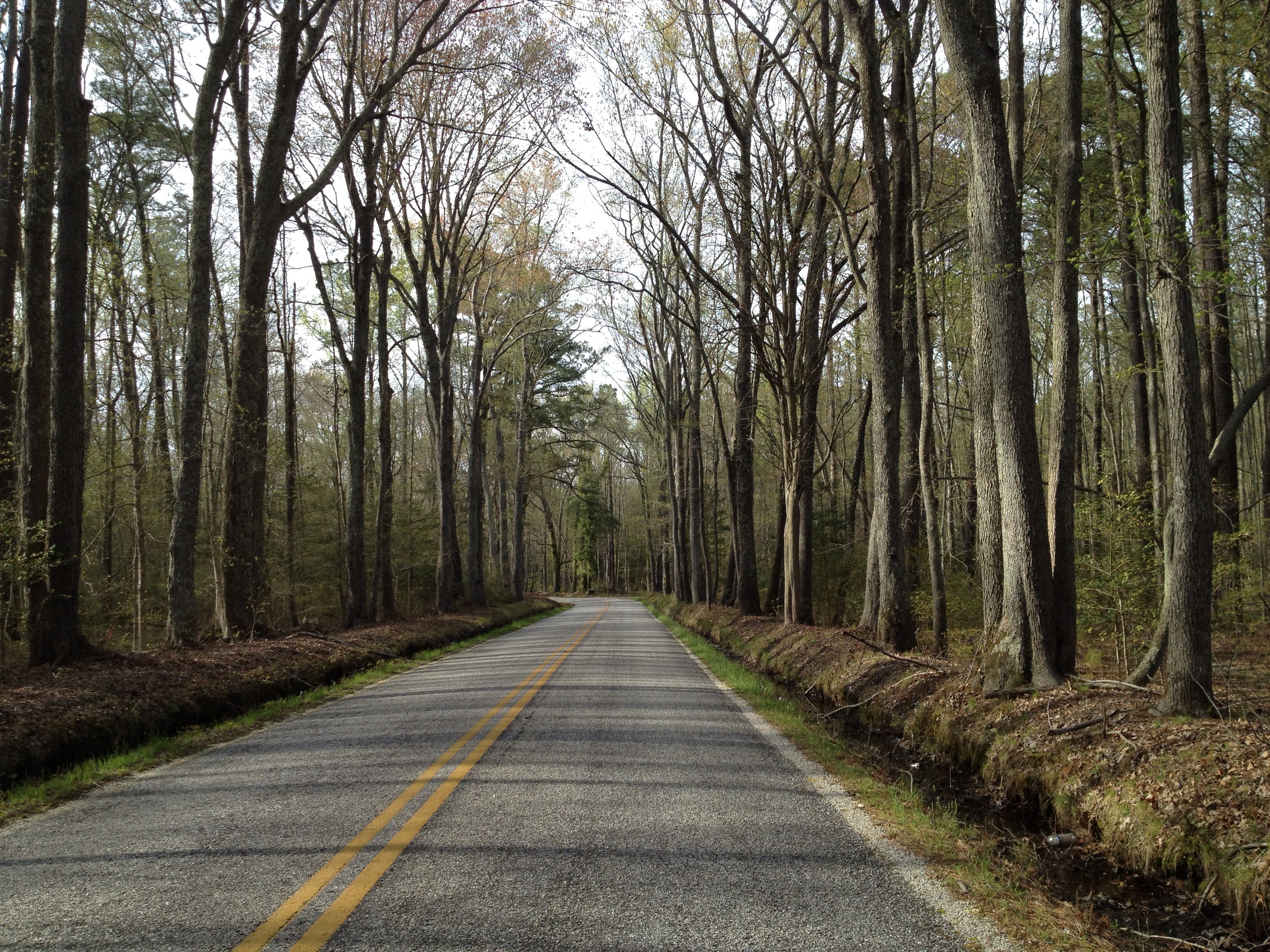
View from the Road to Towles Point, Lancaster County, VA
Sheltering Arms

Dock & Cloud-Virginia
Inn at Woodstock - River view at sunset

View from Delano's Store
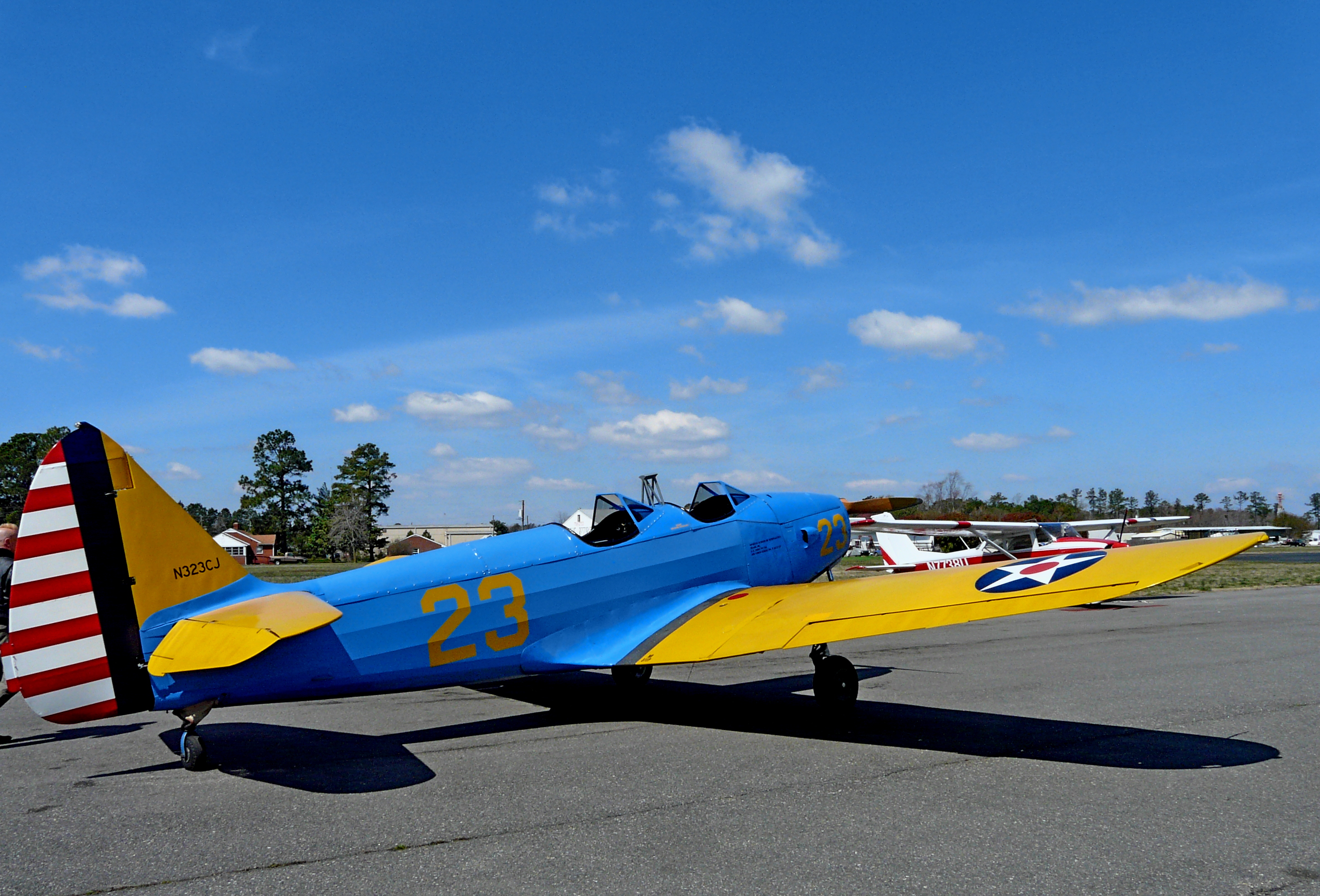
1943 Fairchild PT-19

Rest-Virginia

Deck View 5

Deck View 1

2014JEK0227089.jpg
Inn at Woodstock - River view at sunset
Far Away From Home-Virginia

A View
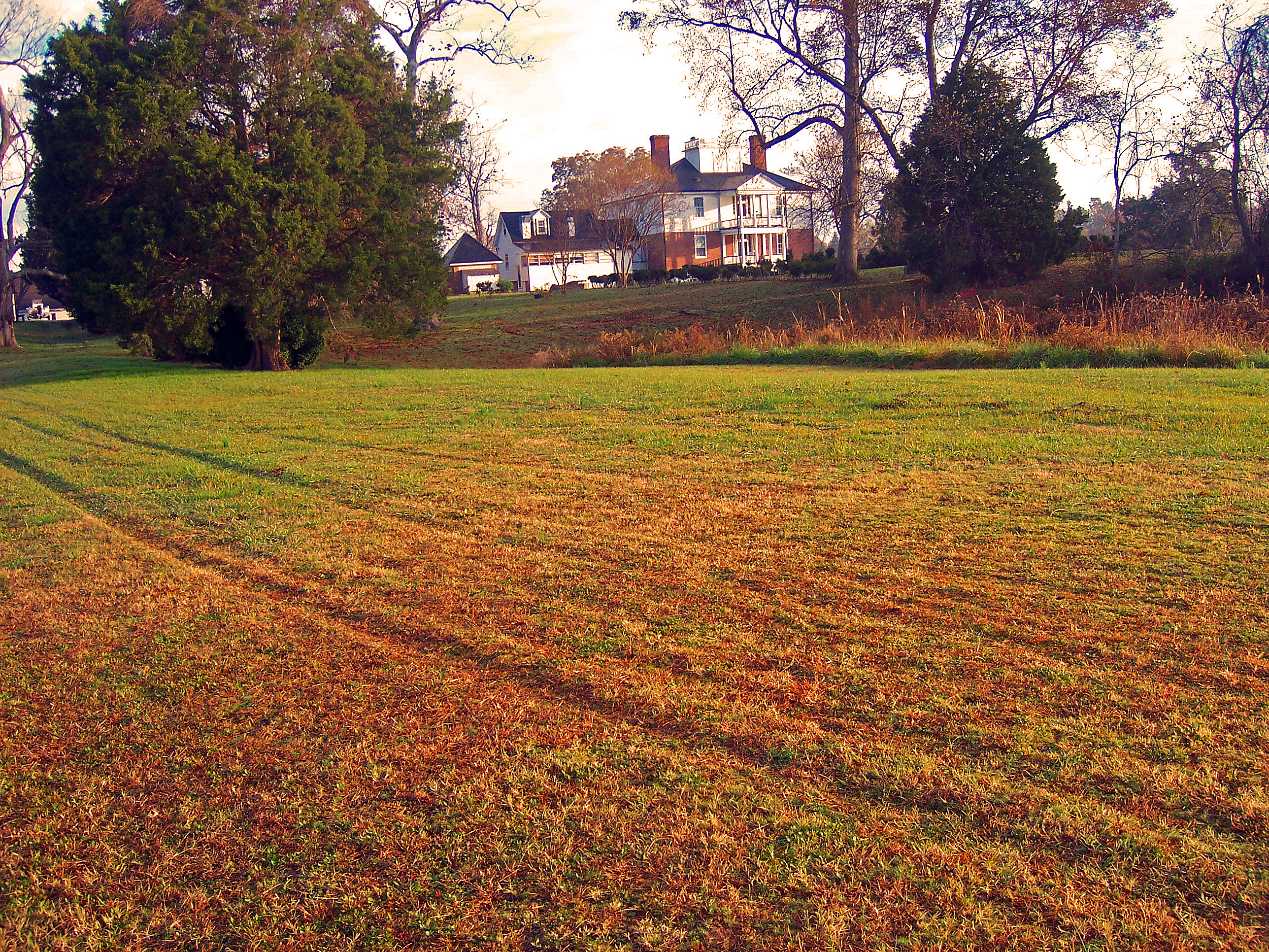
Inn at Woodstock - View across the field
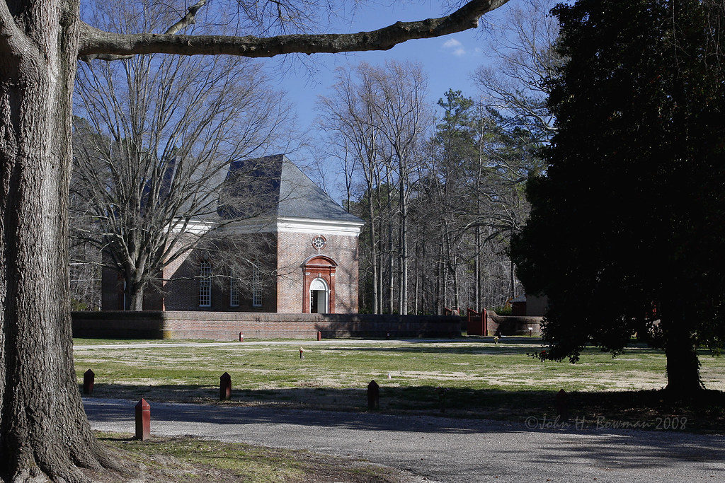
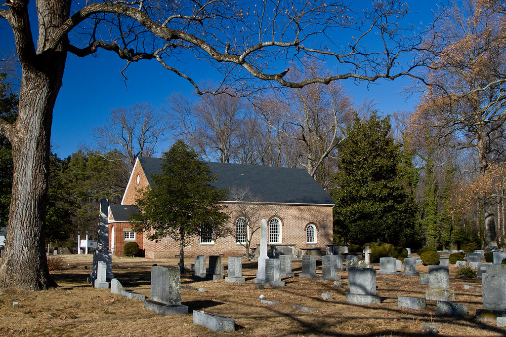
Wooded setting of Christ Church
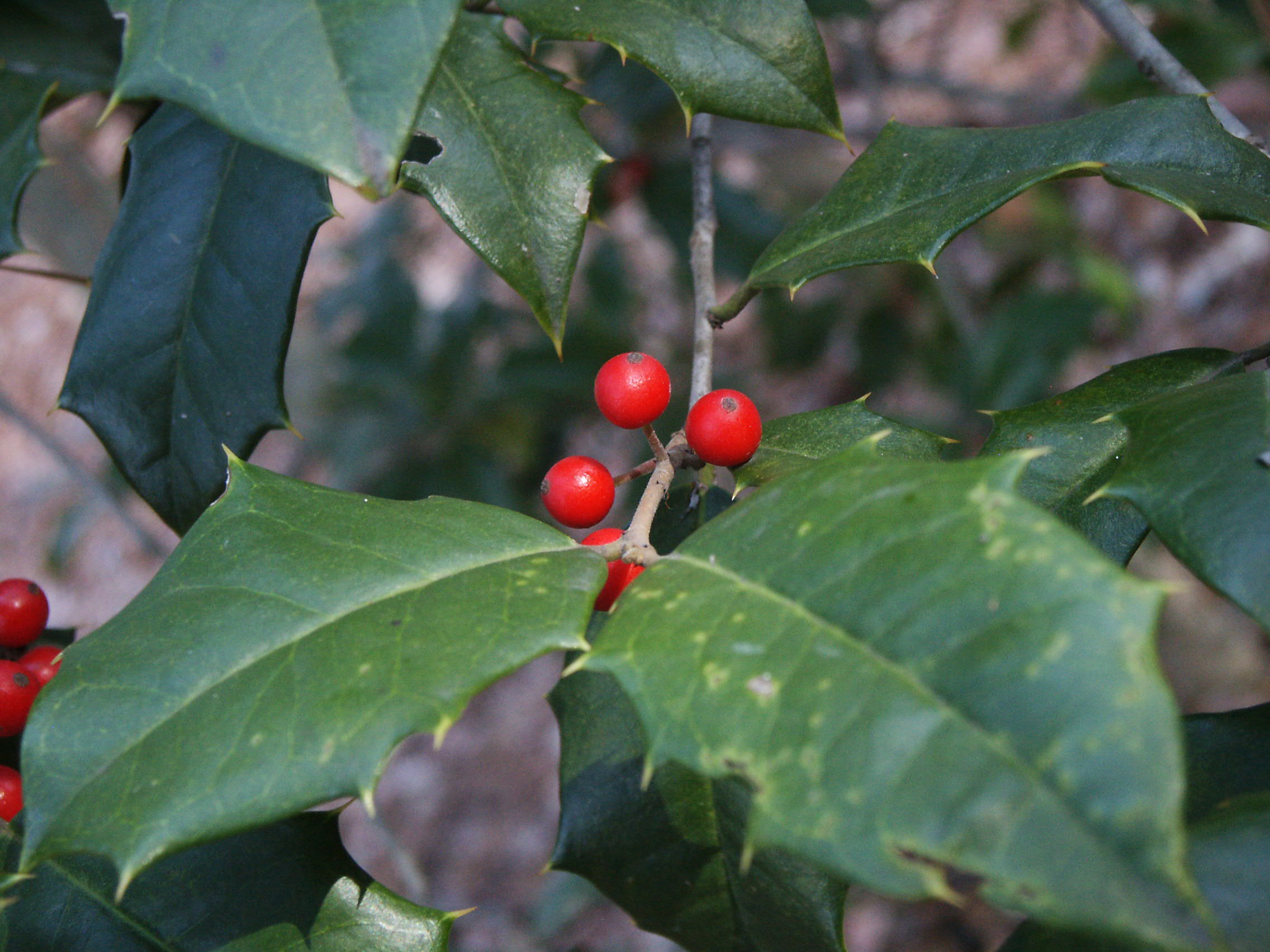
Holly and berries
M-016 Urbanna, Virginia.
Inn at Woodstock - Approach
Above The Fields

Sunset on Sturgeon Creek - Deltaville, VA

Finally [Explored!]
DSC03177 w

Locklies Creek, Topping Virginia 7:20 p.m. 6/10/16

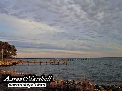
Storm Off Stingray Point
#8544 - white_house_sunset
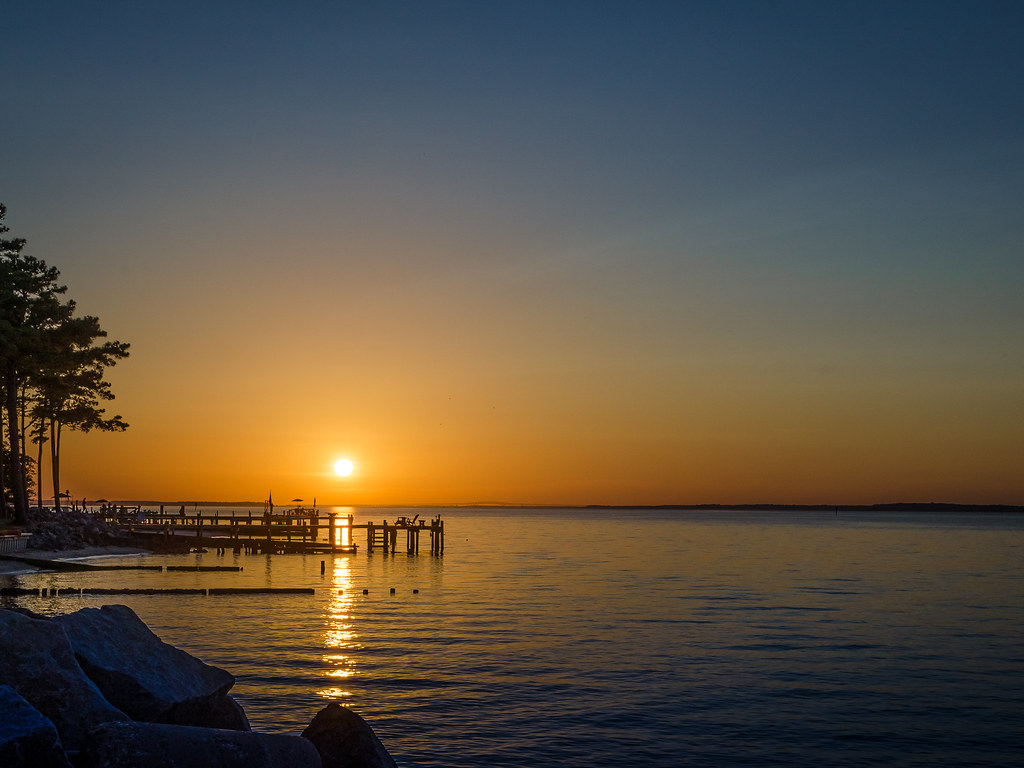
Stingray point
DSC03185 w

Sturgeon Creek

#0476-8 - Groundfog (HDR / Lofi)

Marston Engagement Shoot
Lancaster County Virginia...a few shots from today's ride...

#8975 - greenvale-creek-frozen

Rappahannock River Oyster Company in Topping, Va.

Up a Lazy River
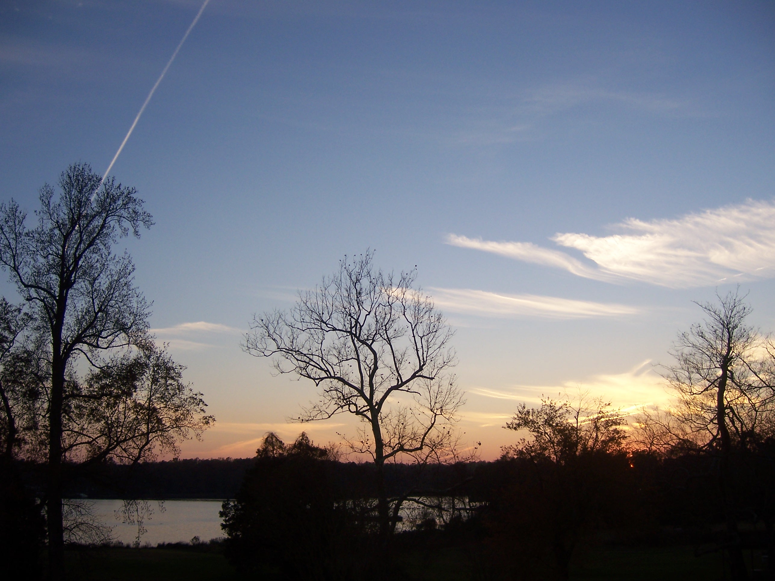
At Dusk
#03809 - Wind in Hewletts Marsh (Orton)
Topographic Map of Steamboat Rd, Irvington, VA, USA
Find elevation by address:

Places near Steamboat Rd, Irvington, VA, USA:
Irvington
222 Mad Calf Ln
222 Mad Calf Ln
222 Mad Calf Ln
222 Mad Calf Ln
33 Reynolds Landing
209 Broadway
1130 Crab Point Rd
Weems
5, VA, USA
Rappahannock Dr, White Stone, VA, USA
White Stone
43 River Bluff Rd, White Stone, VA, USA
4, VA, USA
240 Walnut Dr
4690 Black Stump Rd
27 Bay Dr
Dameron Drive
Kilmarnock
34 Primerose Path, Lancaster, VA, USA
Recent Searches:
- Elevation of Corso Fratelli Cairoli, 35, Macerata MC, Italy
- Elevation of Tallevast Rd, Sarasota, FL, USA
- Elevation of 4th St E, Sonoma, CA, USA
- Elevation of Black Hollow Rd, Pennsdale, PA, USA
- Elevation of Oakland Ave, Williamsport, PA, USA
- Elevation of Pedrógão Grande, Portugal
- Elevation of Klee Dr, Martinsburg, WV, USA
- Elevation of Via Roma, Pieranica CR, Italy
- Elevation of Tavkvetili Mountain, Georgia
- Elevation of Hartfords Bluff Cir, Mt Pleasant, SC, USA