Elevation of Station Rd, Kamloops, BC V2H 0B2, Canada
Location: Canada > British Columbia > Thompson-nicola > Kamloops > Heffley Creek >
Longitude: -120.28729
Latitude: 50.8522329
Elevation: 350m / 1148feet
Barometric Pressure: 97KPa
Elevation Map:
Satellite Map:
Related Photos:
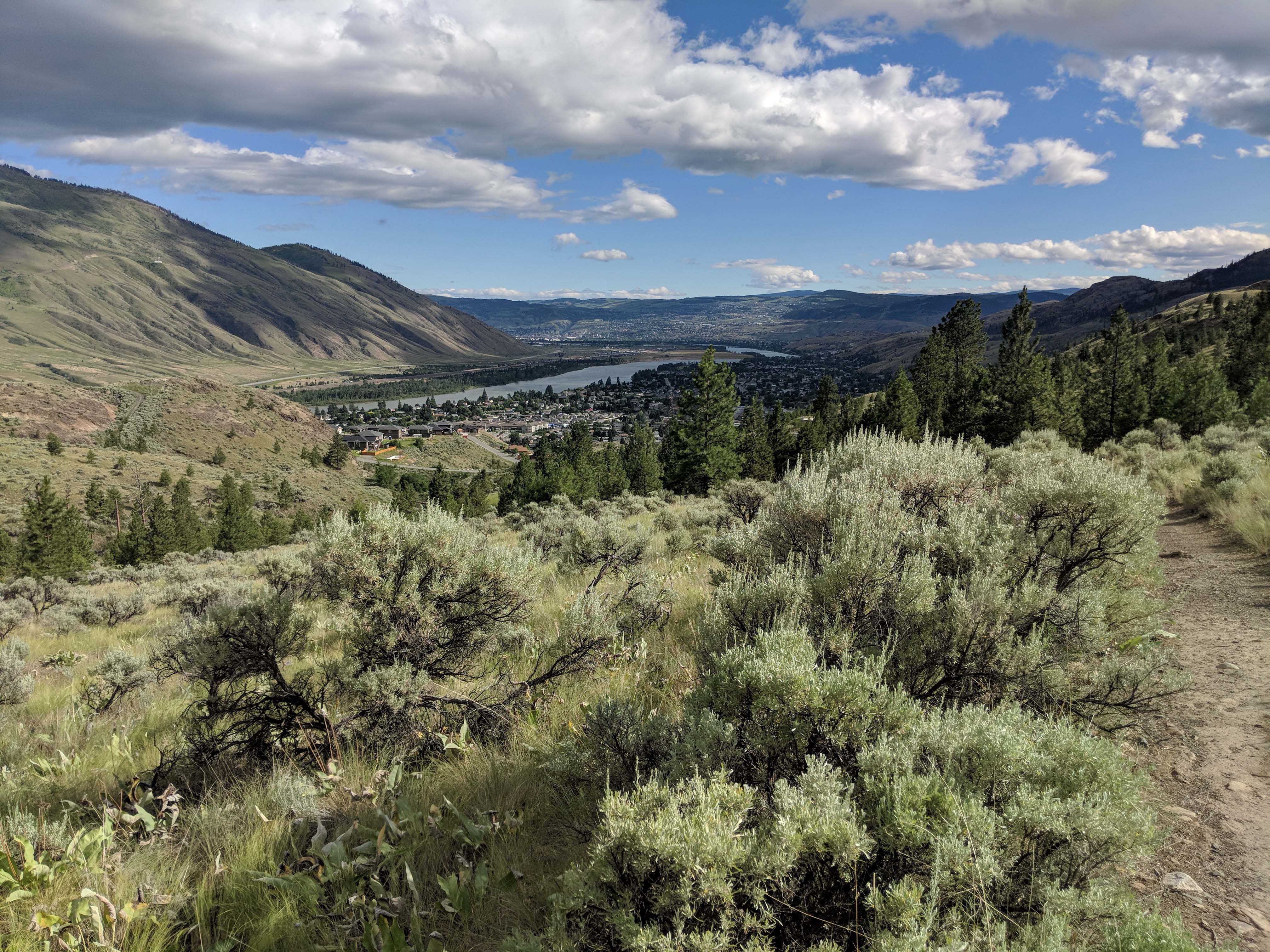
Kamloops View IMG_20180630_172027
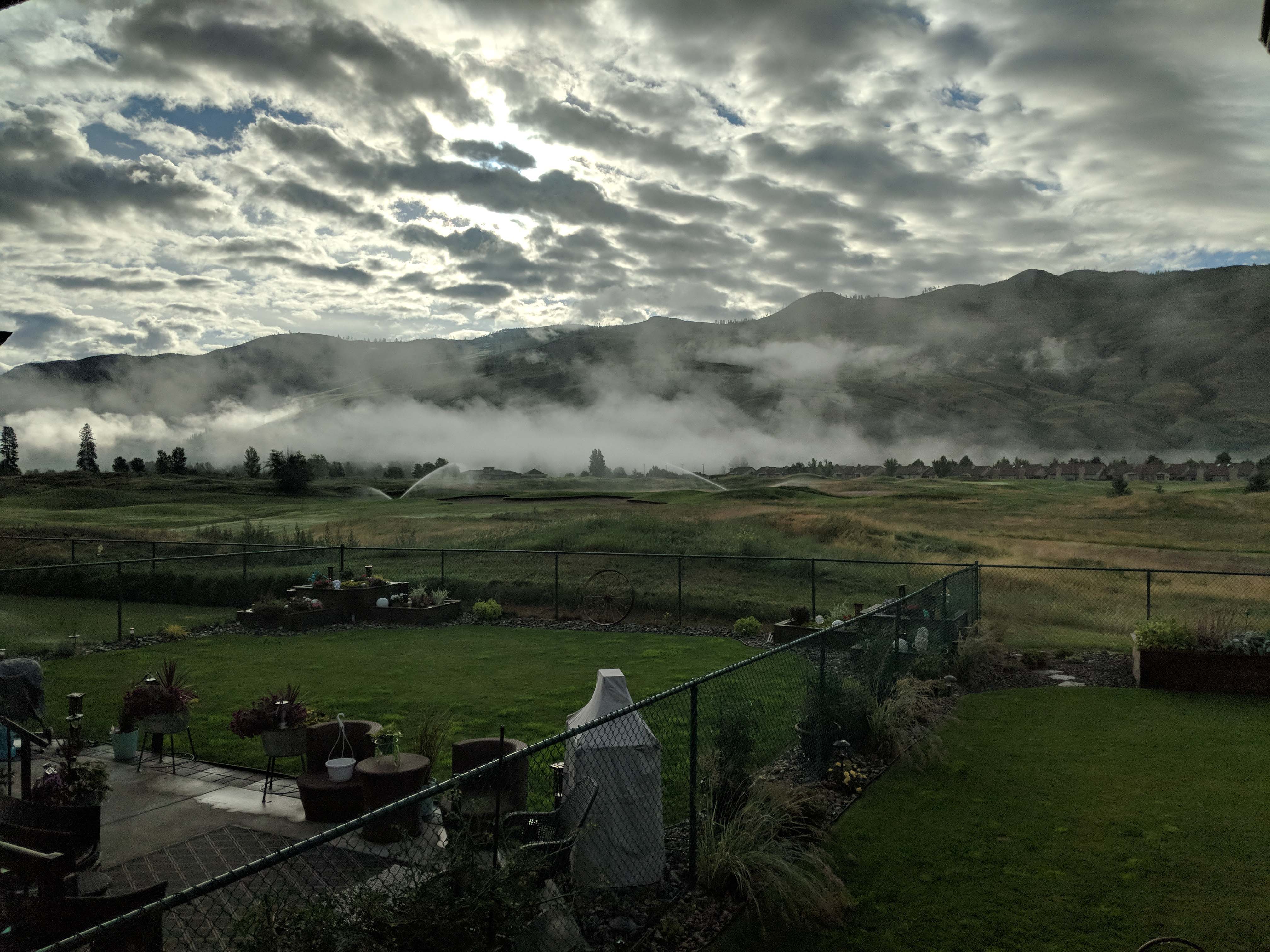
Dunes Golf Course View IMG_20180701_065854
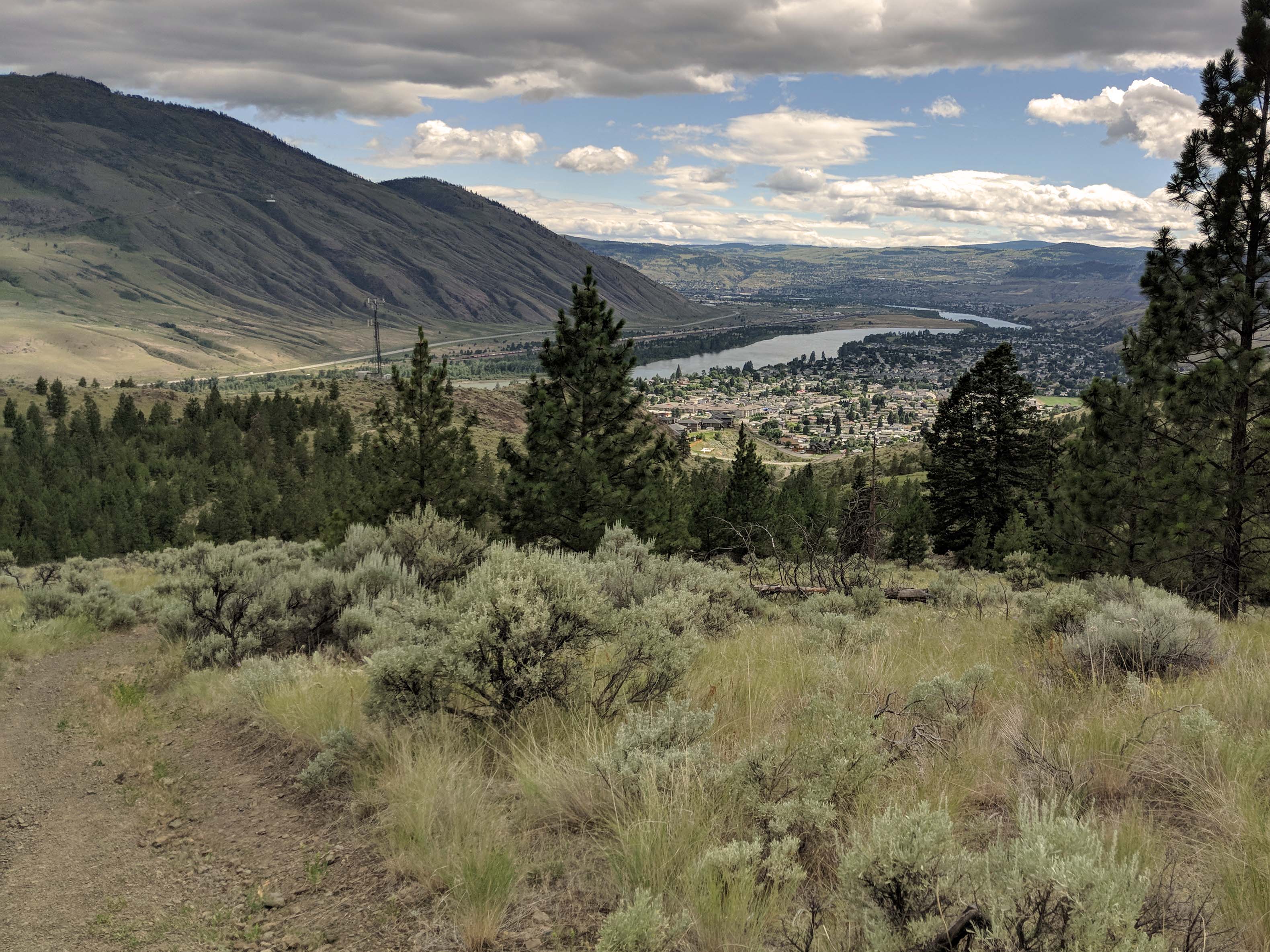
Kamloops View IMG_20180630_150457
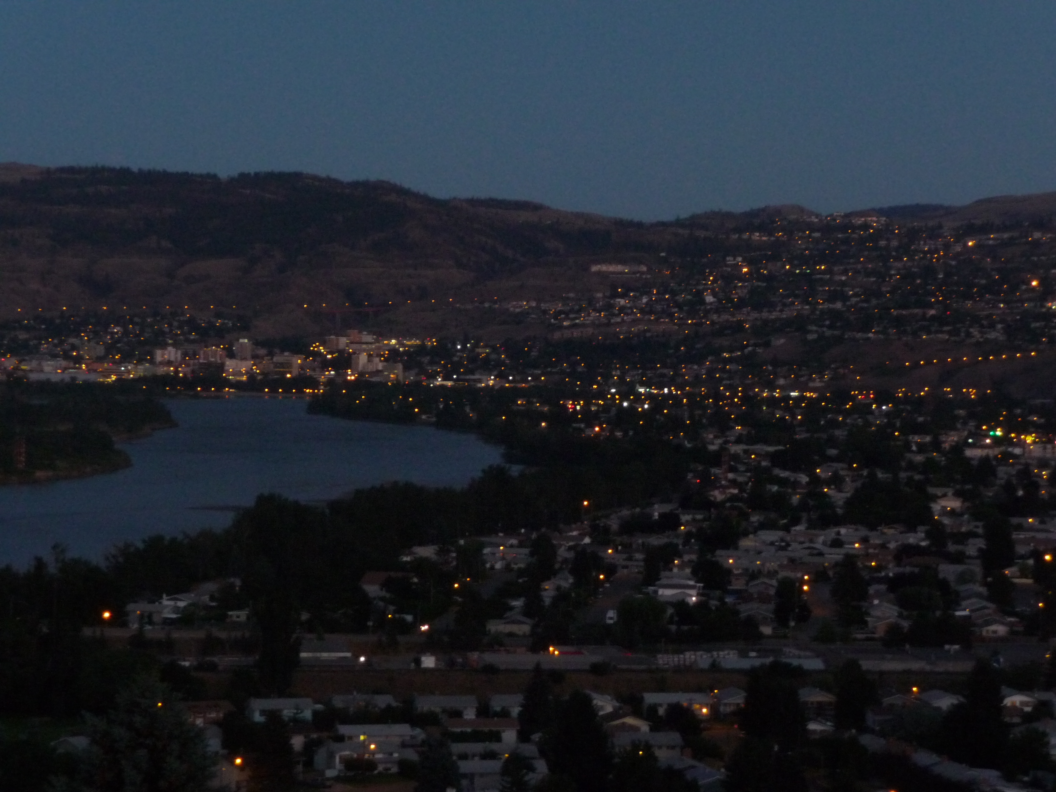
Kamloops, view from our balcony
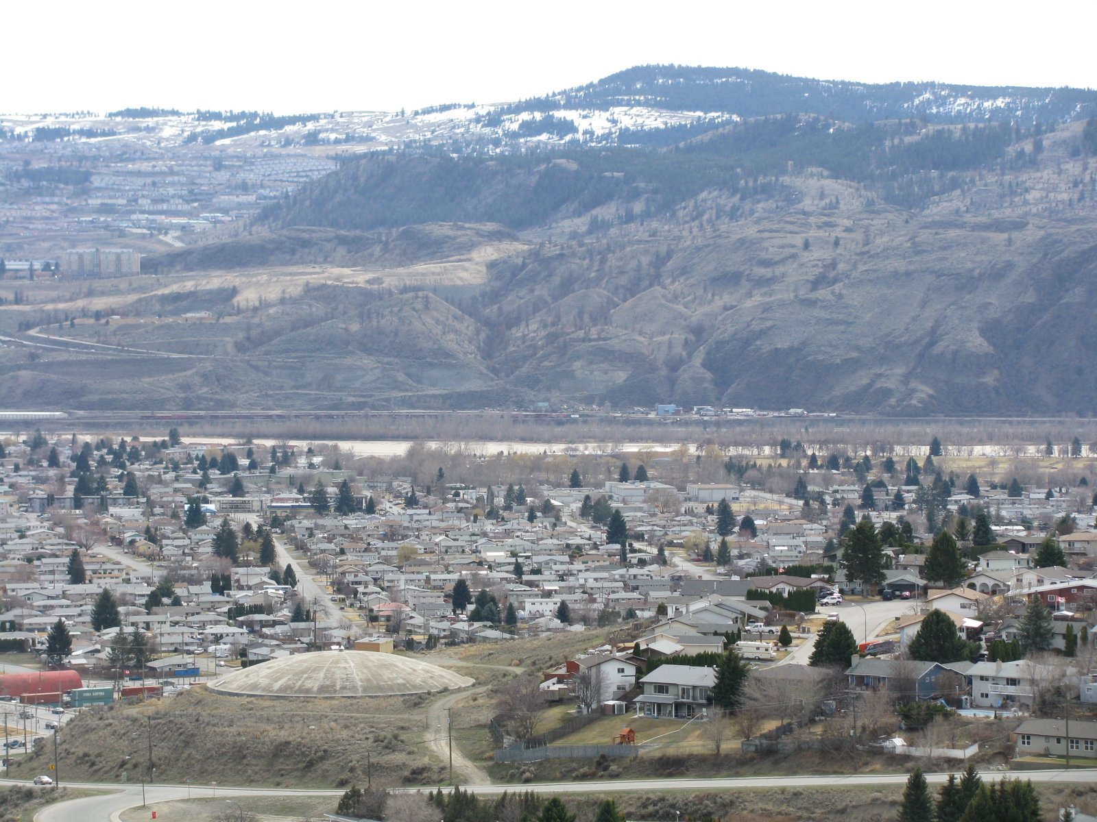
Brockelhurst from Batchelor Heights
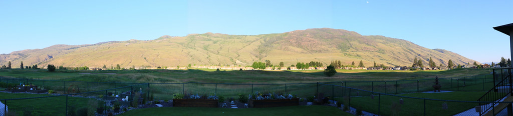
d3063-3065 Dunes Golf Course Anita-Dougs view

Tree Fungi 2
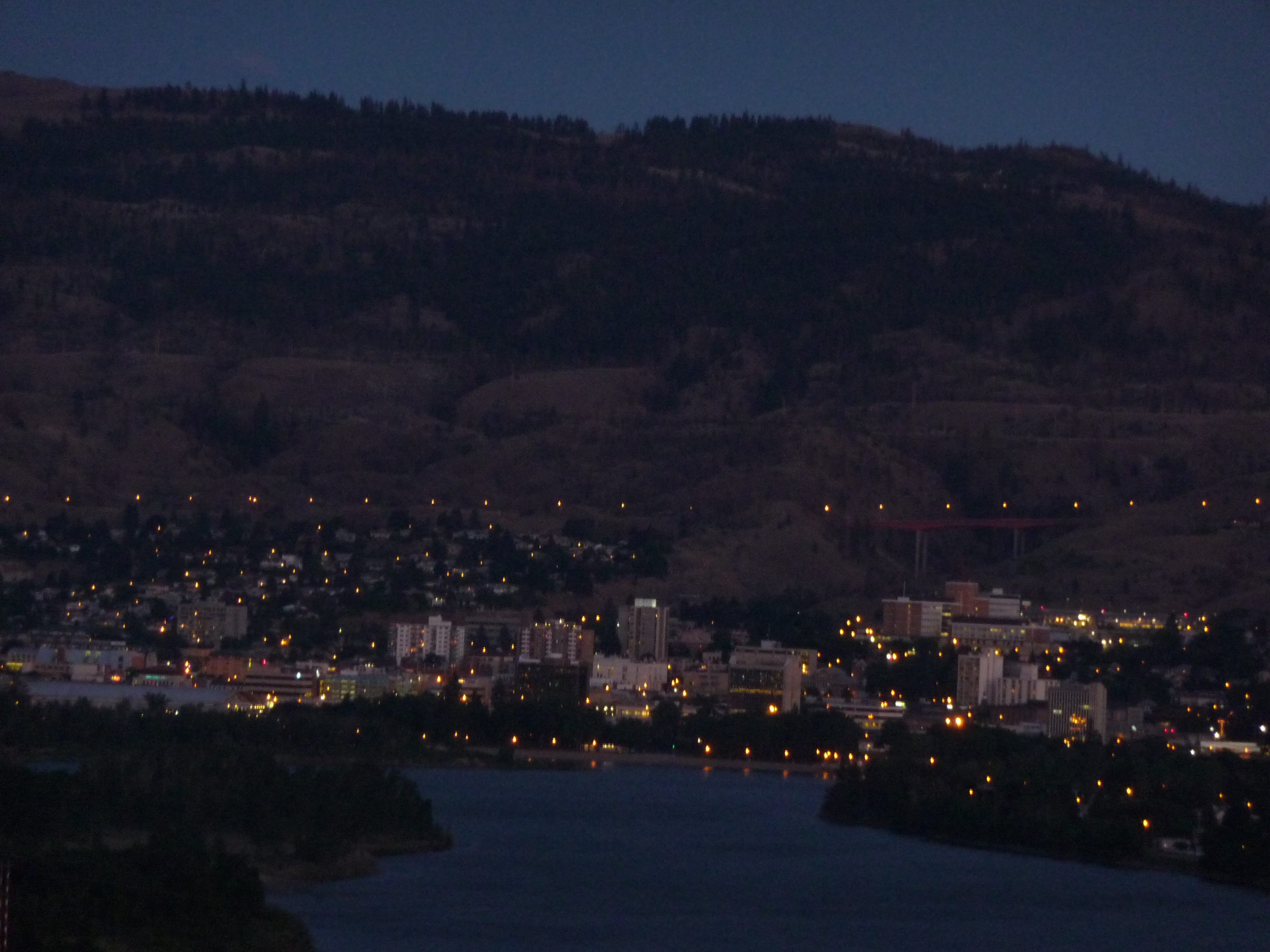
Kamloops, view from our balcony
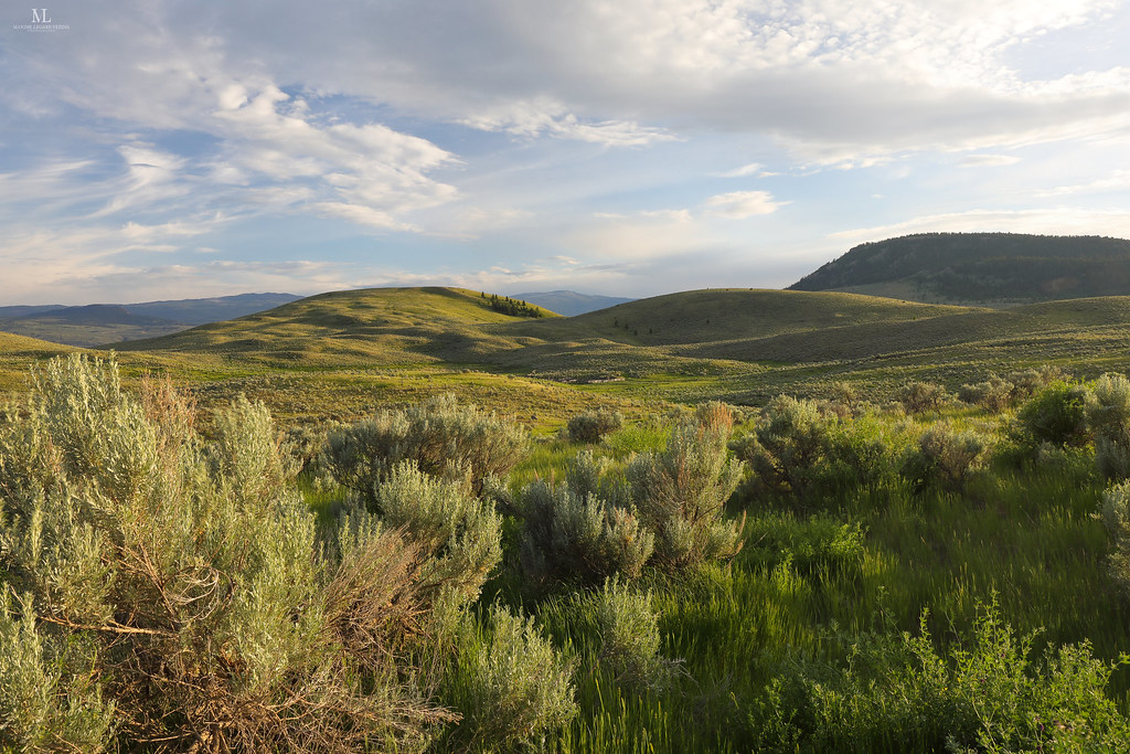
Les grands espaces

tall grassbw
Topographic Map of Station Rd, Kamloops, BC V2H 0B2, Canada
Find elevation by address:

Places near Station Rd, Kamloops, BC V2H 0B2, Canada:
Old Highway 5
6960 Bedard Rd
6640 Old Highway 5
Heffley Creek
Ronlyn Ct, Heffley Creek, BC V0E 1Z2, Canada
288 Reighmount Dr
Rayleigh
4672 Spurraway Rd
245 Puett Ranch Rd
847 Sicamore Dr
Westsyde
836 Mayne Rd
779 Franklin Rd
2080 Elston Dr
2080 Elston Dr
2080 Elston Dr
898 Rue Chez Nous
Kamloops Indian Reserve No. 1
2168 Saddleback Dr
2168 Saddleback Dr
Recent Searches:
- Elevation of Corso Fratelli Cairoli, 35, Macerata MC, Italy
- Elevation of Tallevast Rd, Sarasota, FL, USA
- Elevation of 4th St E, Sonoma, CA, USA
- Elevation of Black Hollow Rd, Pennsdale, PA, USA
- Elevation of Oakland Ave, Williamsport, PA, USA
- Elevation of Pedrógão Grande, Portugal
- Elevation of Klee Dr, Martinsburg, WV, USA
- Elevation of Via Roma, Pieranica CR, Italy
- Elevation of Tavkvetili Mountain, Georgia
- Elevation of Hartfords Bluff Cir, Mt Pleasant, SC, USA