Elevation of State St, Sandy, UT, USA
Location: United States > Utah > Salt Lake County > Sandy >
Longitude: -111.89100
Latitude: 40.5656595
Elevation: 1347m / 4419feet
Barometric Pressure: 86KPa
Elevation Map:
Satellite Map:
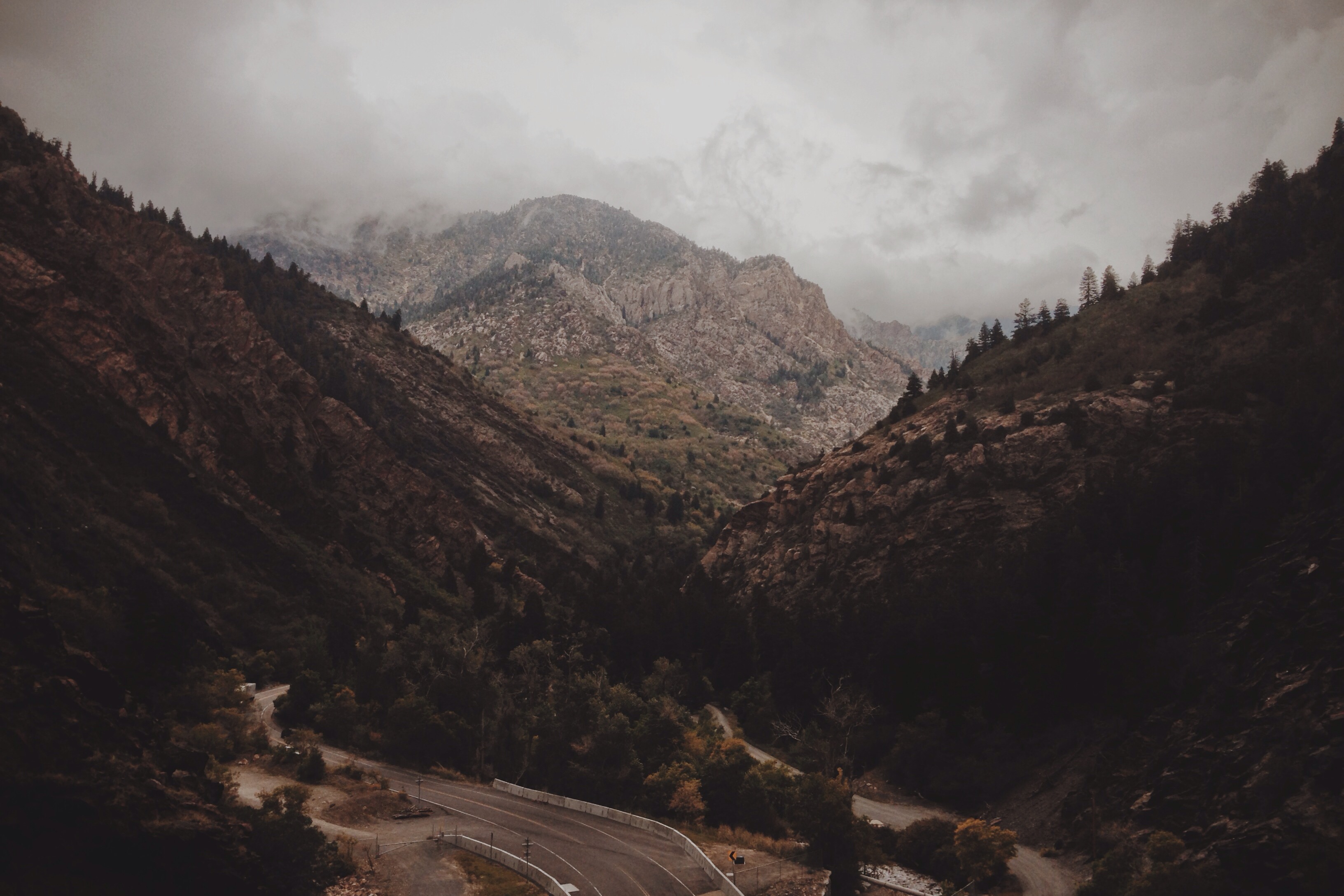
Related Photos:
It's complicated

Variations on a theme

Majestic Draper Temple at Blue Hour
Salt Lake Valley from Mount Olympus Trail
Little Cottonwood

Draper Temple at Sunset
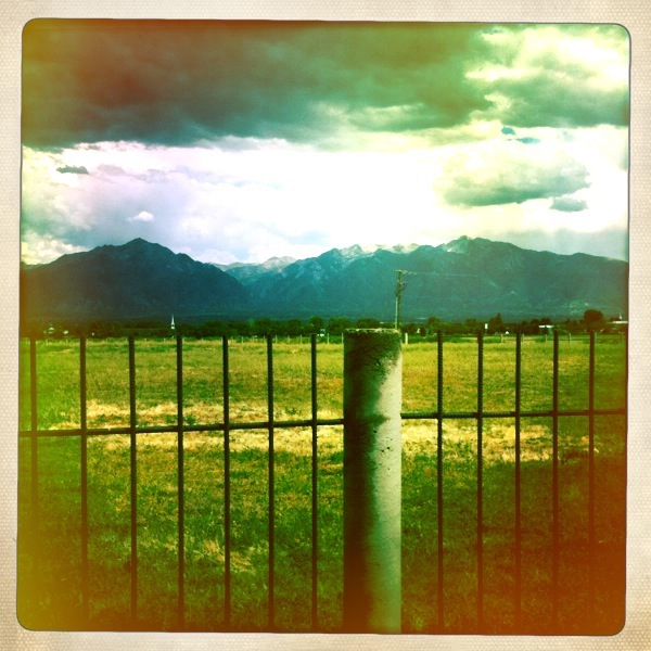
Fields For Furrows

The killer view

Natacha and Rudolph
Dissociation Station

23/365 Into the Darkness: Walking
Touching Down
The return of Spring.

Where have all the flowers gone?
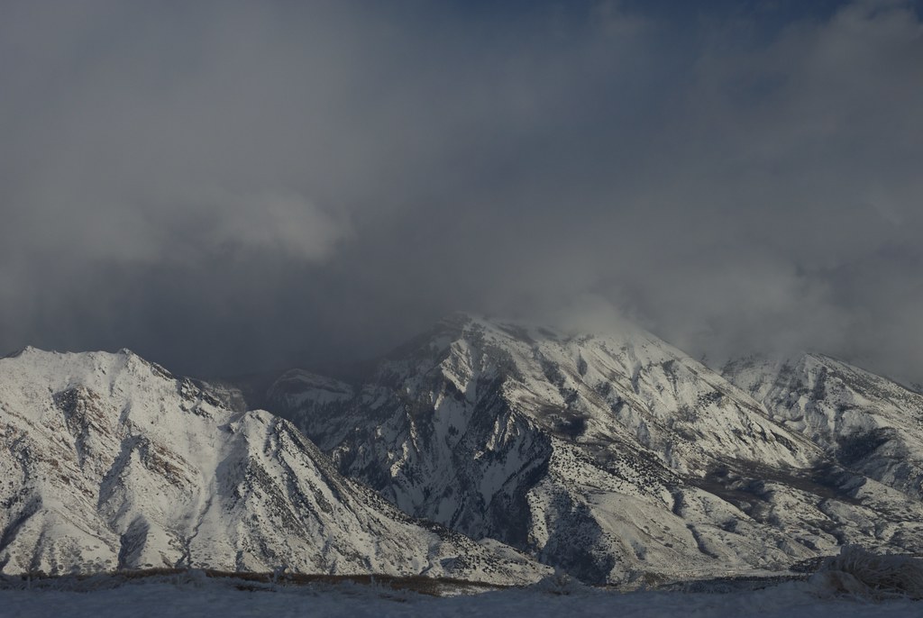
Wasatch mountains

Draper Utah Temple, Aged
Utah Valley
Hospital Visit

Oquirrh Mountain Temple
Salt Lake City

Oquirrh Mountain L.D.S. Temple, South Jordan, Utah (3)
Lower Bell Canyon Reservoir
" Old Souls "

LDS Temple Spire

Pieces Of My Shattered Mirror

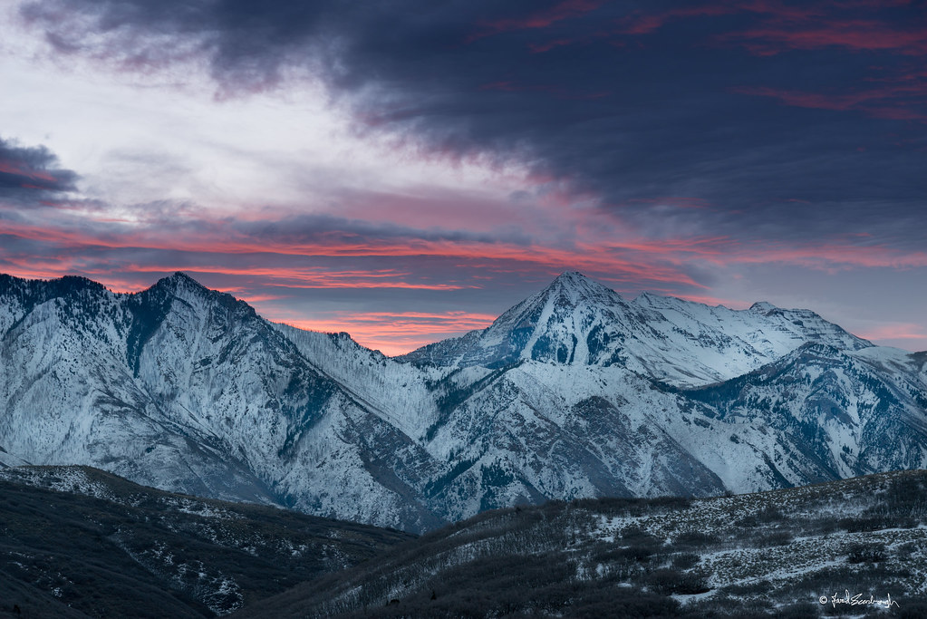
Moonrise over Wasatch Mountains, Utah
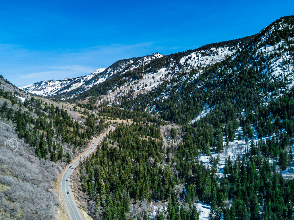
Big Cottonwood Canyon, Utah
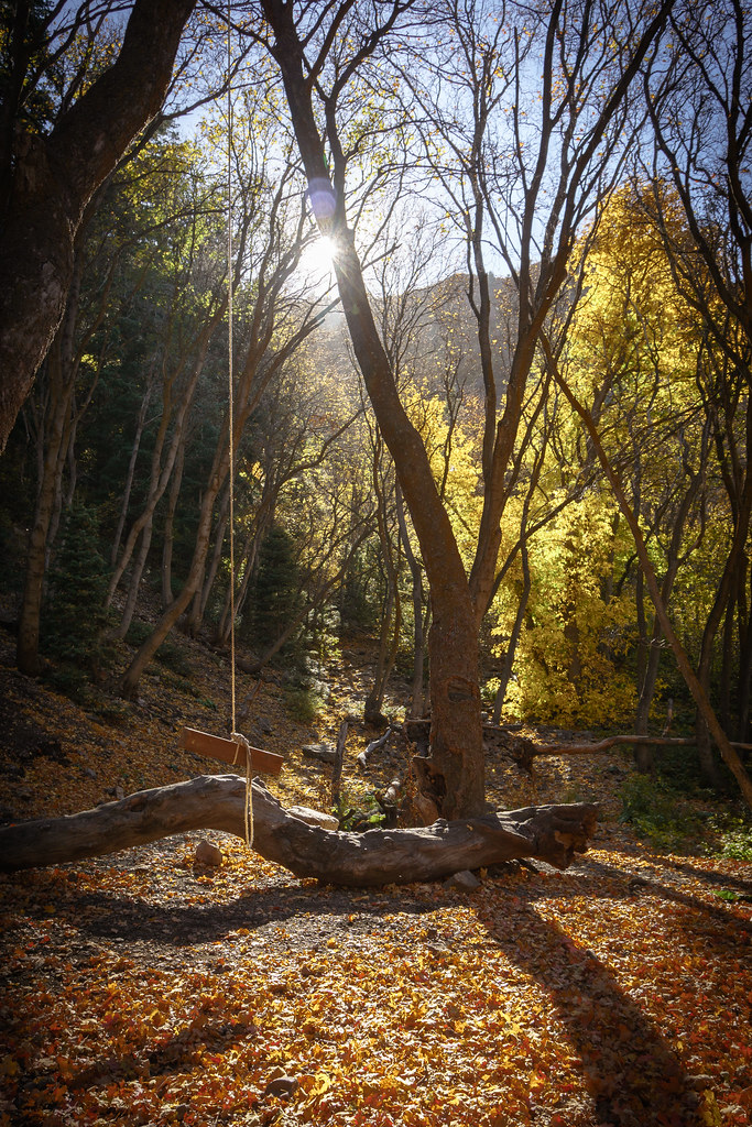
Rope Swing

Salted Path

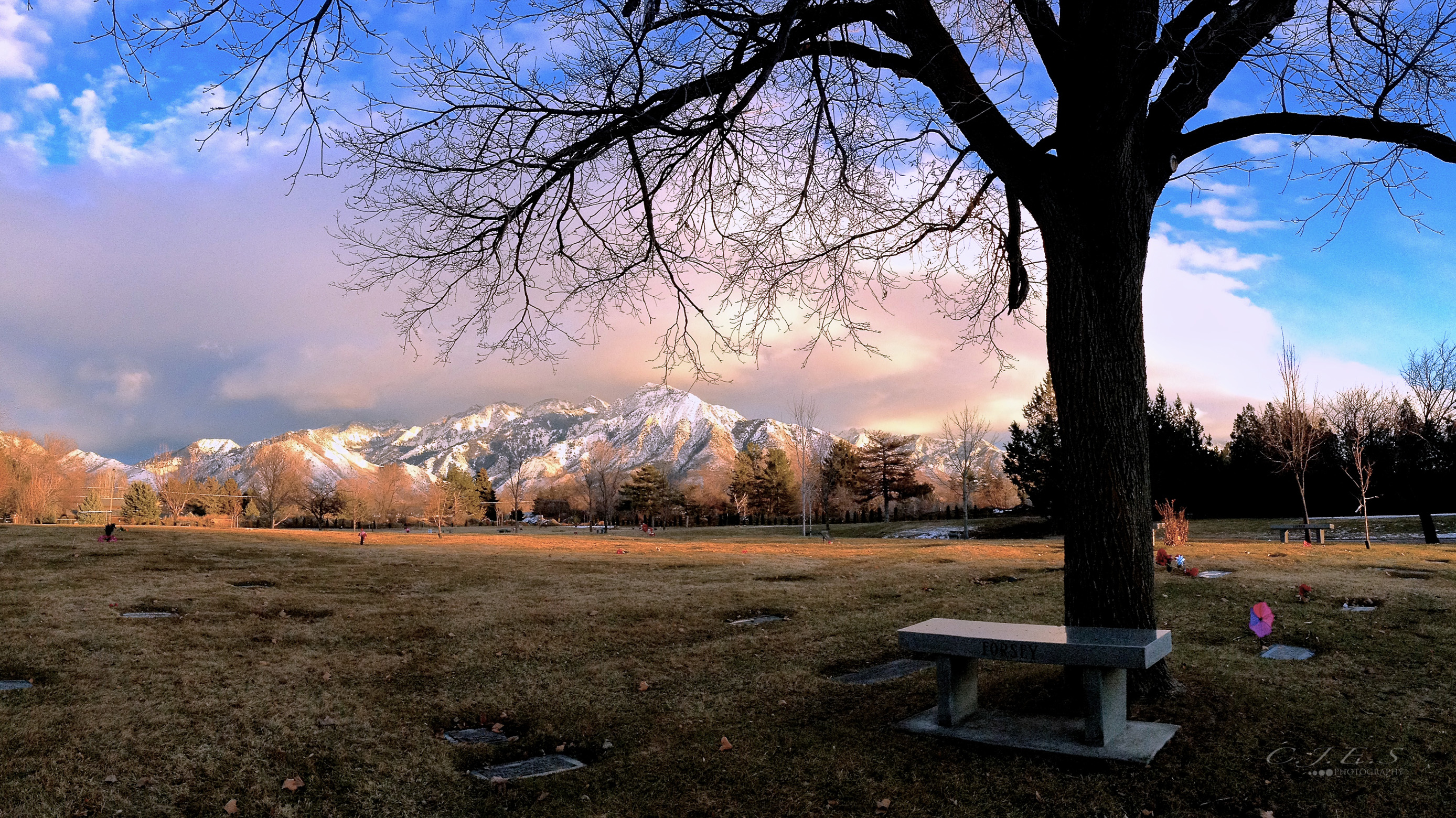
A Throne for the Solitary
20150127-_JBS8307
A farewell to the sun, and a welcome to the dark day. [to see more of my mobile photography using iPhone, check out my Instagram :: @jordan_is]

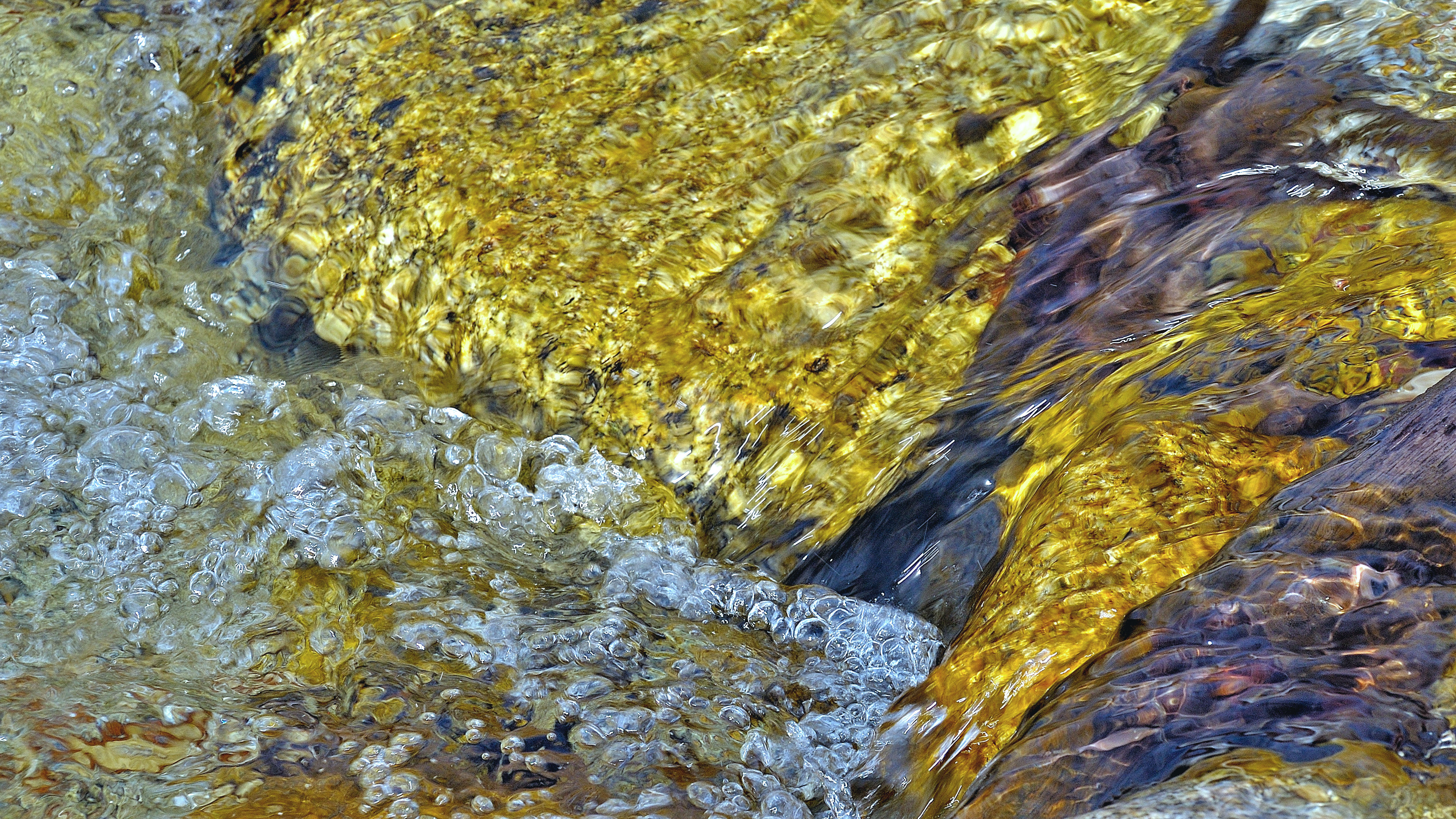
stream - Millcreek Canyon - 9-03-08 01

Winter Sunset over Salt Lake City

Draper-West

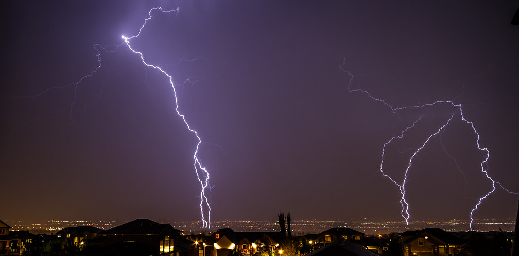
You Cannot Hide In The Sky
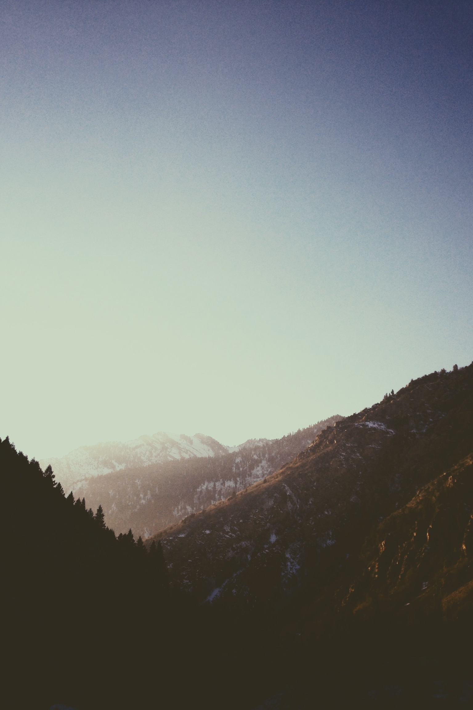
Winter in the Wasatch
Topographic Map of State St, Sandy, UT, USA
Find elevation by address:

Places near State St, Sandy, UT, USA:
10150 Centennial Pkwy
10600 S 300 E
Ultradent Products, Inc.
10980 S Jordan Gateway
Rio Tinto Stadium
9256 State St
9385 S Sneddon Dr
900 S Jordan Pkwy
420 Cadbury Dr
11278 South Jordan Gateway
Sheraton Circle
Silver Pines Senior Community
11098 Sandy Dunes Dr
11467 Brambleberry Ln
834 E 9400 S
Windflower Ln, Sandy, UT, USA
South Riverside Drive
10627 S 1120 E
329 Old Sandy Ct
8956 Ledge Stone Dr
Recent Searches:
- Elevation of Corso Fratelli Cairoli, 35, Macerata MC, Italy
- Elevation of Tallevast Rd, Sarasota, FL, USA
- Elevation of 4th St E, Sonoma, CA, USA
- Elevation of Black Hollow Rd, Pennsdale, PA, USA
- Elevation of Oakland Ave, Williamsport, PA, USA
- Elevation of Pedrógão Grande, Portugal
- Elevation of Klee Dr, Martinsburg, WV, USA
- Elevation of Via Roma, Pieranica CR, Italy
- Elevation of Tavkvetili Mountain, Georgia
- Elevation of Hartfords Bluff Cir, Mt Pleasant, SC, USA