Elevation of State Rte, Garden Creek, Mathews, VA, USA
Location: United States > Virginia > Mathews County > Chesapeake > Laban >
Longitude: -76.286242
Latitude: 37.4064269
Elevation: 1m / 3feet
Barometric Pressure: 101KPa
Elevation Map:
Satellite Map:
Related Photos:

Morning Fog

New Point Comfort Nature Preserve

Window with a View-Southwind Pizza-Mathews Virginia 1755

Godfrey Bay on the Piankatank River
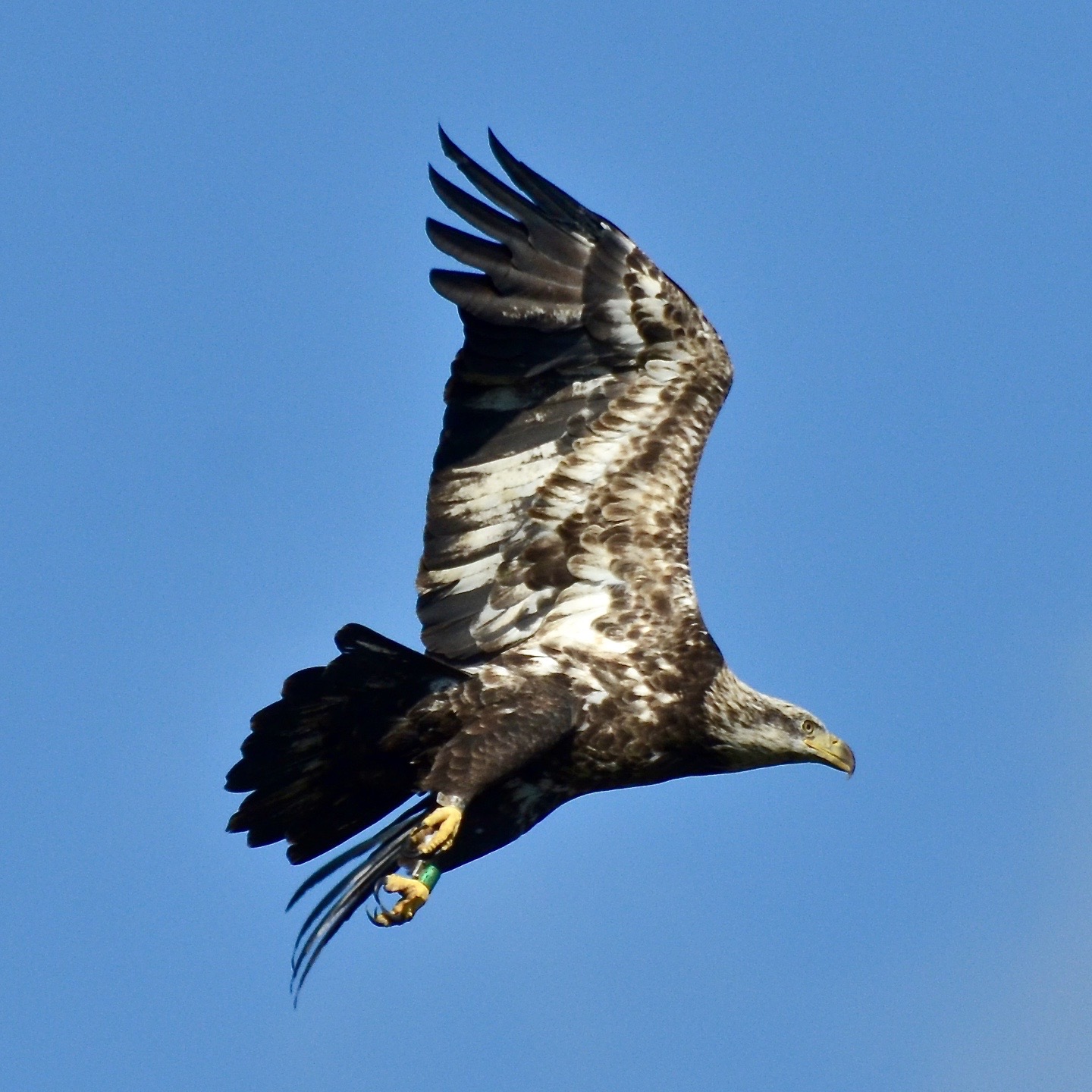
Bald Eagle, Virginia

2009-11-20_1802

Bald Eagle, Virginia

nice view

getting the view

Piering Into the Mist
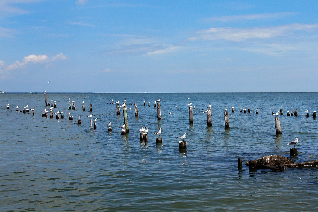
School Is In-Gwynn's Island-Mathews County VA 03928

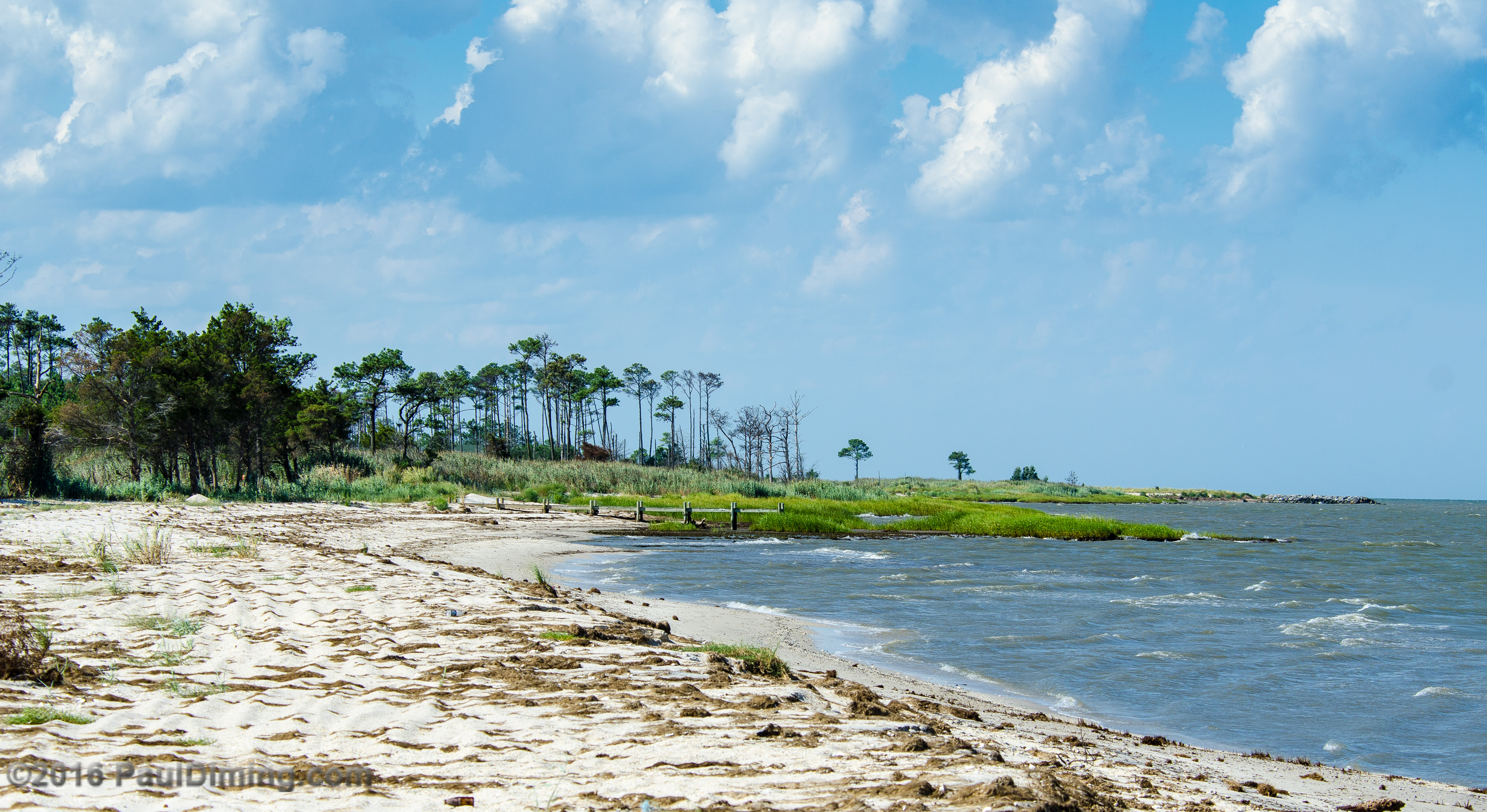
Bethel Beach Natural Area Preserve Looking South - Matthews County, VA

Godfrey Bay, Cobbs Creek Virginia 5:44 p.m. 2/20/16

Swans at Dawn on the Piankatank River near the Chesapeake Bay, Mathews County Virginia. 7:23 a.m. 12/30/16

East River Virginia

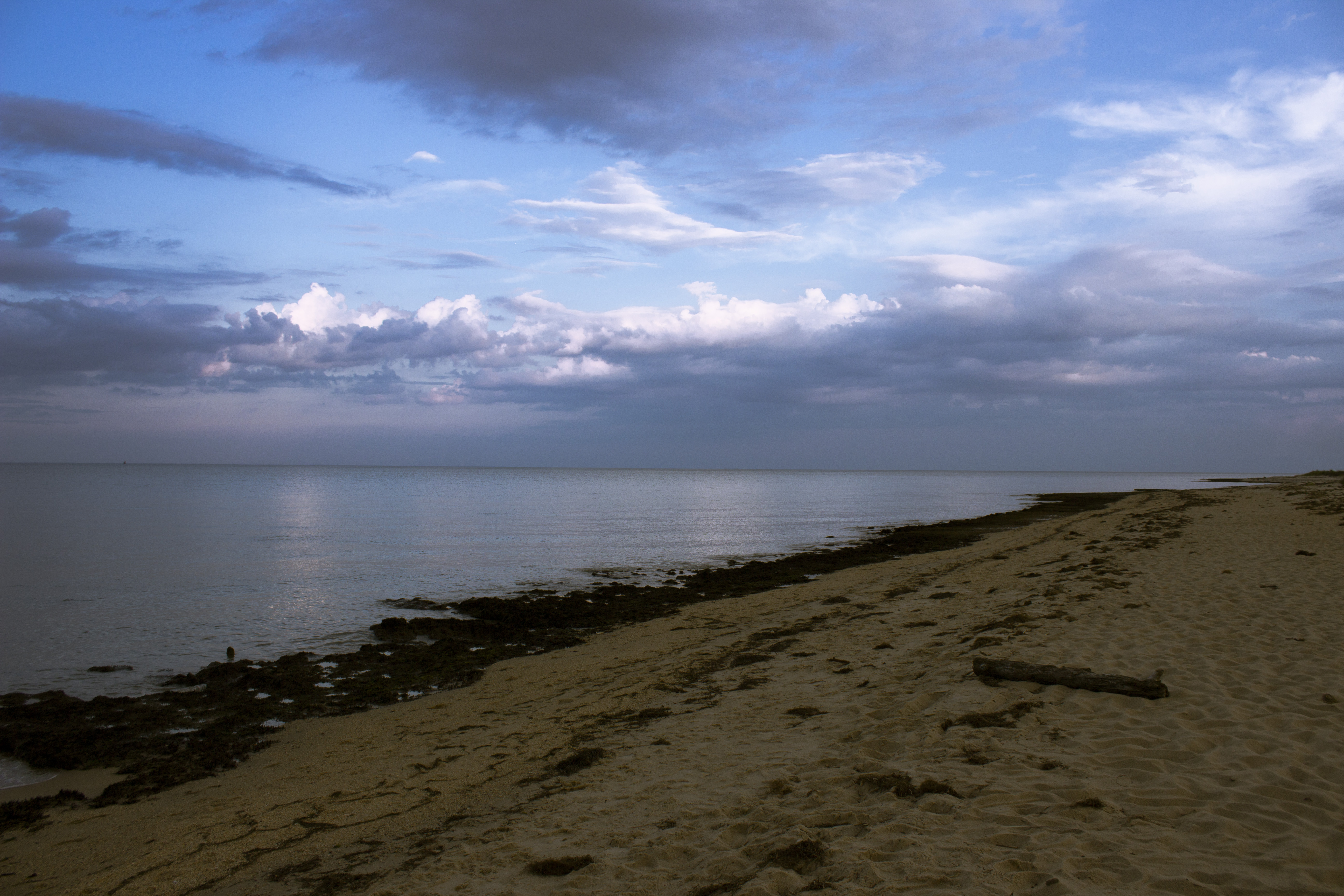
Low Tide at Hallieford Beach, Piankatank River, Mathews Virginia 4:30 p.m. 11/28/15

Marsh @ New Point Comfort Light - Matthews County, VA

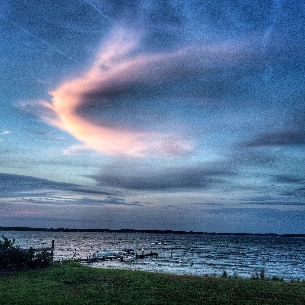
Big Weather over the Chesapeake Bay of Virginia. From Godfrey Bay, Mathews County. 7:26 a.m. April 13, 2019

Godfrey Bay at Misti Cove, Mathews County Virginia 6:53 a.m. 11/28/15
The Getaway

Night Shoot at Mobjack Bay

Beach Grass @ Bethel Beach Natural Area Preserve - Matthews County, VA

Summer's Last Saturday at Godfrey Bay, Cobbs Creek Virginia 6:46 p.m. 9/17/16
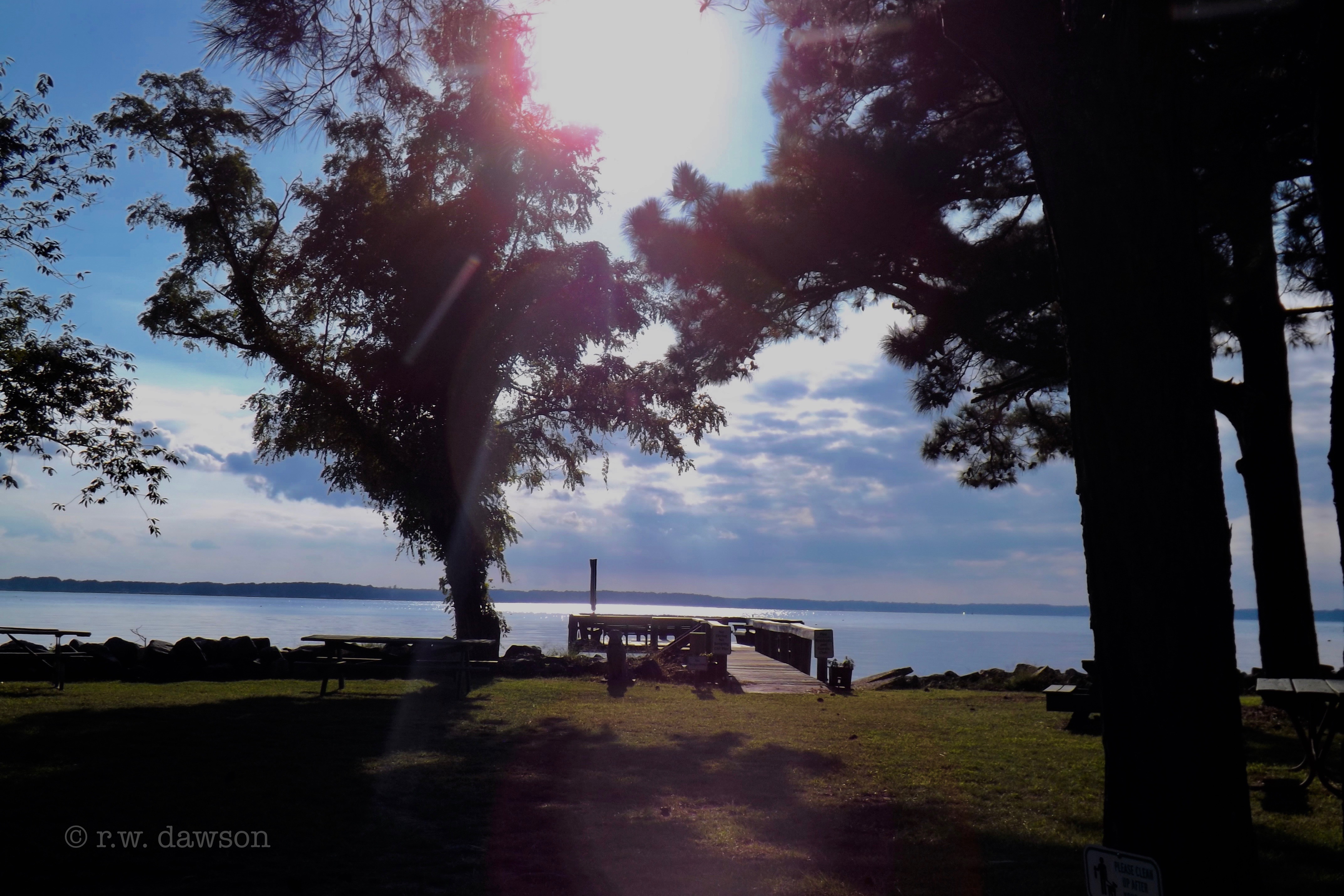
Boat Dock on Gwynn's Island
Aaarons Beach - Diggs, VA

November Dawns

Beautiful Day on the Piankatank River Virginia 6:07 a.m. 4/17/16
Godfrey Bay, Mathews County Virginia 7:33 p.m. 9/5/15

Piankatank Pier

Gwynn's Island and Milford Haven, Mathews County Virginia 7:21 a.m. 9/6/15
Topographic Map of State Rte, Garden Creek, Mathews, VA, USA
Find elevation by address:

Places near State Rte, Garden Creek, Mathews, VA, USA:
Laban
Canoe Yard Trail
Onemo
2391 Bethel Beach Rd
1751 Bethel Beach Rd
1132 Knight Wood Rd
Peary
Diggs
2185 Haven Beach Rd
White Point Ln, New Point, VA, USA
Chesapeake
New Point Rv Resort
Bavon
560 Chesapeake Shore Rd
Cherrystone Resort Store
110 T-1107
110 Harbor St
15638 Smith Beach Rd
Cape Charles Medical Center: Clarke Mark G Md
11 Park Row
Recent Searches:
- Elevation of Corso Fratelli Cairoli, 35, Macerata MC, Italy
- Elevation of Tallevast Rd, Sarasota, FL, USA
- Elevation of 4th St E, Sonoma, CA, USA
- Elevation of Black Hollow Rd, Pennsdale, PA, USA
- Elevation of Oakland Ave, Williamsport, PA, USA
- Elevation of Pedrógão Grande, Portugal
- Elevation of Klee Dr, Martinsburg, WV, USA
- Elevation of Via Roma, Pieranica CR, Italy
- Elevation of Tavkvetili Mountain, Georgia
- Elevation of Hartfords Bluff Cir, Mt Pleasant, SC, USA