Elevation of State Rte DD, Willow Springs, MO, USA
Location: United States > Missouri > Howell County > Willow Springs Township >
Longitude: -91.948404
Latitude: 36.99566
Elevation: 390m / 1280feet
Barometric Pressure: 97KPa
Elevation Map:
Satellite Map:
Related Photos:
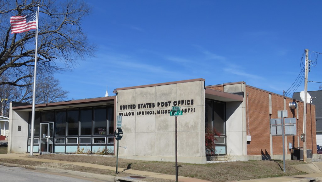
Post Office 65793 (Willow Springs, Missouri)
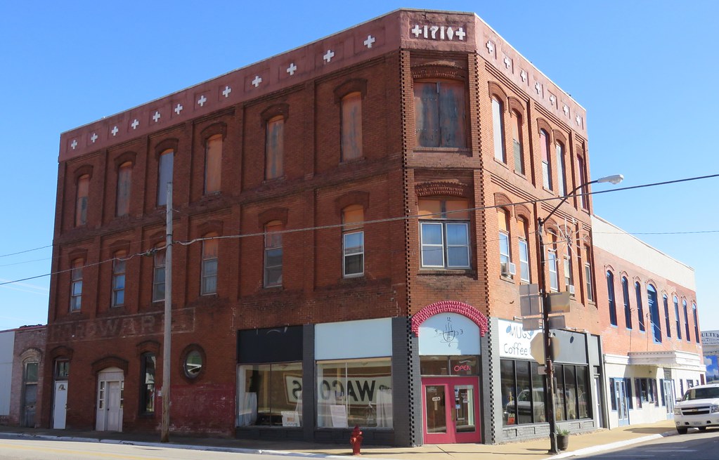
Old Corner Building (Willow Springs, Missouri)
Dead Stick Landing

2010-08-15

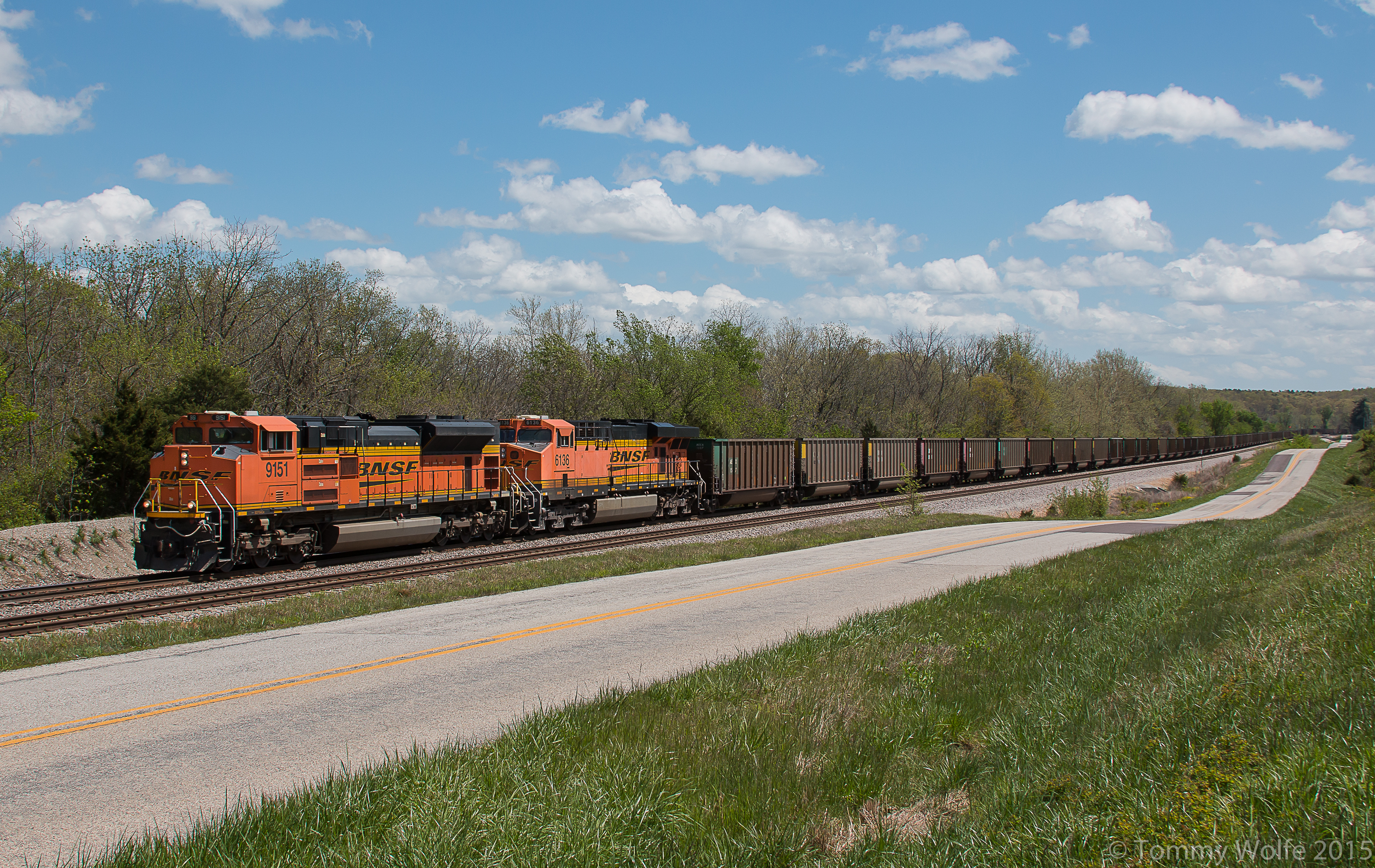
SantaFe splitting Signals

Fire Bush at the South Prong of the Jacks Fork River.

Autumn Orange SAK.
E-NMANAM0 98B

BNSF 2849
Topographic Map of State Rte DD, Willow Springs, MO, USA
Find elevation by address:

Places near State Rte DD, Willow Springs, MO, USA:
Willow Springs
519 S Center St
3001 Co Rd 3780
State Rte U, Mountain View, MO, USA
Willow Springs Township
Sargent Township
4602 Co Rd 1690
4470 State Rte U
Pomona
2206 Mt Pisgah Rd
2206 Mt Pisgah Rd
Hutton Valley Township
15227 Hwy U
Howell County
Dry Creek Township
5141 Co Rd 1820
Beeler Road
17422 Hwy H
17422 Hwy H
14462 Kile Rd
Recent Searches:
- Elevation of Corso Fratelli Cairoli, 35, Macerata MC, Italy
- Elevation of Tallevast Rd, Sarasota, FL, USA
- Elevation of 4th St E, Sonoma, CA, USA
- Elevation of Black Hollow Rd, Pennsdale, PA, USA
- Elevation of Oakland Ave, Williamsport, PA, USA
- Elevation of Pedrógão Grande, Portugal
- Elevation of Klee Dr, Martinsburg, WV, USA
- Elevation of Via Roma, Pieranica CR, Italy
- Elevation of Tavkvetili Mountain, Georgia
- Elevation of Hartfords Bluff Cir, Mt Pleasant, SC, USA