Elevation of State Rte, Blairsville, GA, USA
Location: United States > Georgia > Union County > Blairsville >
Longitude: -83.875514
Latitude: 34.7975298
Elevation: 612m / 2008feet
Barometric Pressure: 94KPa
Elevation Map:
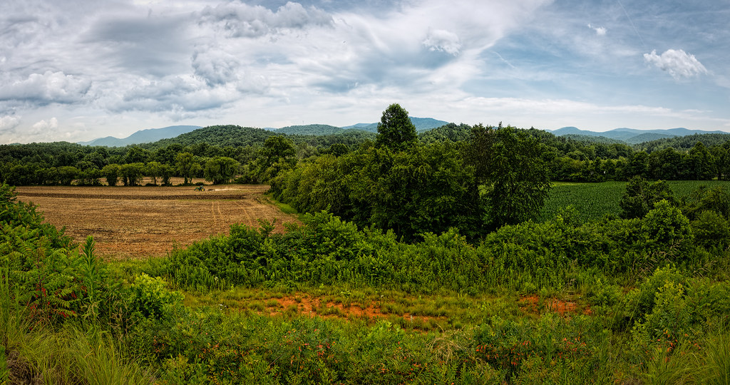
Satellite Map:
Related Photos:

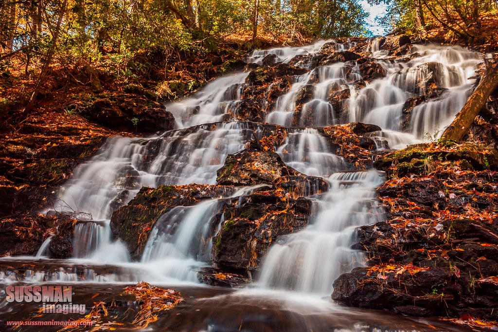
Dodd Creek Falls

Falls on Dukes Creek

Faucet Falls

IMG_5193-Edit

Maidenhair Falls

Maidenhair Falls

Dodd Creek Falls

Dodd Creek Falls

Winter Jewel

Falls on Dukes Creek

Maidenhair Falls

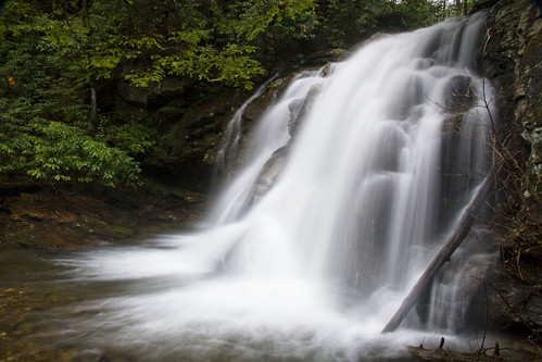
High Shoals Falls

High Shoals Falls.

Dukes Creek Falls

Maindenhair Falls

Dover Falls

Sweet White Trillium

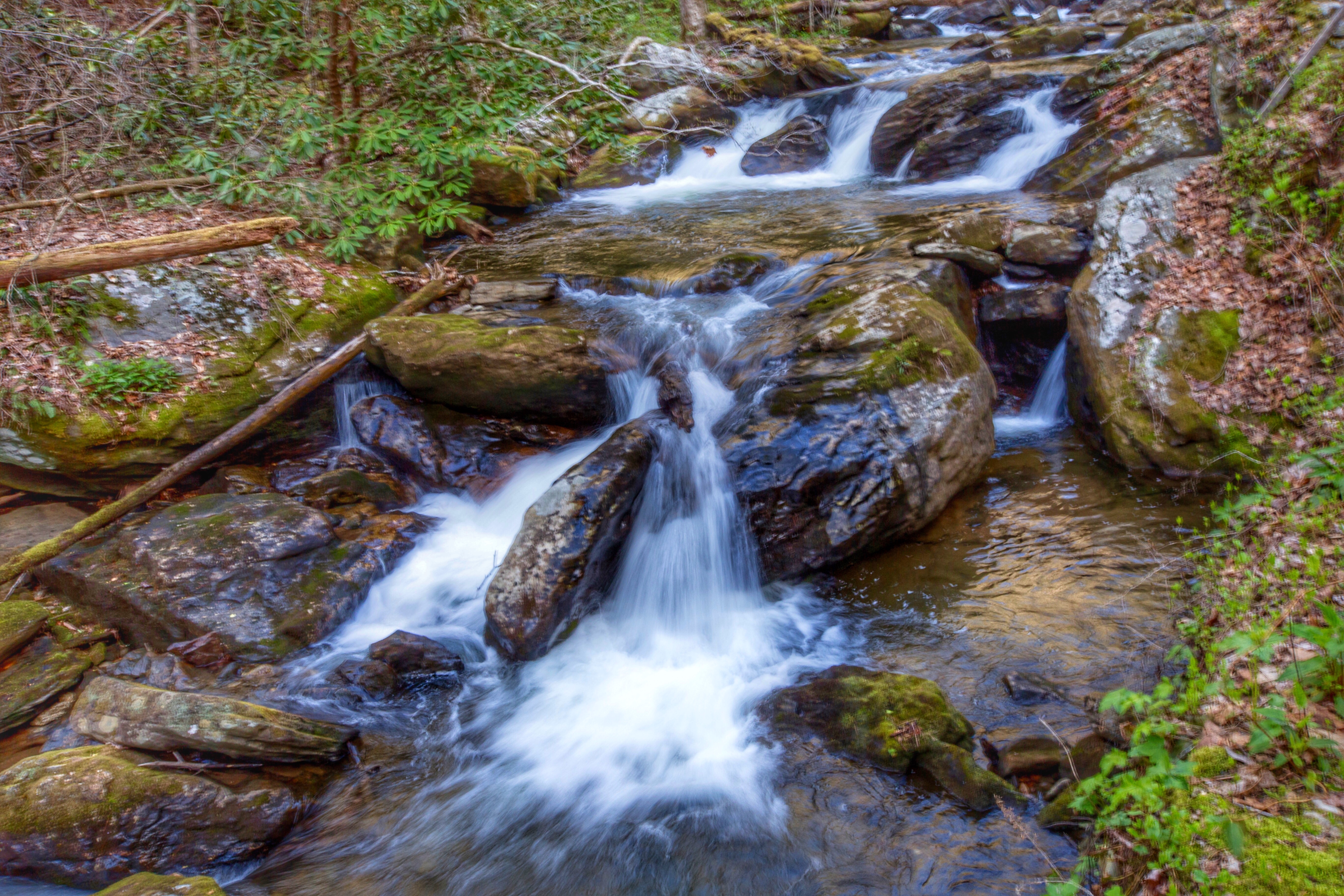
Horsetrough Falls

Maidenhair Falls
Wolf Creek Falls

Dodd Creek Falls
Good morning world! Helen, Ga.

Maidenhair Falls
Soft flow. Helen, Ga
Fall on Dodd Creek

Fall on Dukes Creek

Horsetrough Falls

High on Helton

Dodd Creek Falls

Up Into the Green

North Georgia Quartz

Lower Helton Creek Falls
Finish the plowing before it rains

Helton Creek Falls

High Shoals Falls
Topographic Map of State Rte, Blairsville, GA, USA
Find elevation by address:

Places near State Rte, Blairsville, GA, USA:
Scogin Way
794 Big Sky Rd
Big Sky Road
507 Choestoe Falls Cir
507 Choestoe Falls Cir
507 Choestoe Falls Cir
504 Choestoe Falls Cir
55 Choestoe Falls Cir
47 Highland Wood Dr
191 Robert Hull Ln
269 Choestoe Falls Cir
127 Berry Reister Rd
3420 State Rte 180
195 Ravens Way
Scenic Retreat Lane
150 Sticks And Stones Dr
Collins Rd, Blairsville, GA, USA
Wolf Mountain Road
Roscoe Road
5400 Choestoe Valley Cir
Recent Searches:
- Elevation of Corso Fratelli Cairoli, 35, Macerata MC, Italy
- Elevation of Tallevast Rd, Sarasota, FL, USA
- Elevation of 4th St E, Sonoma, CA, USA
- Elevation of Black Hollow Rd, Pennsdale, PA, USA
- Elevation of Oakland Ave, Williamsport, PA, USA
- Elevation of Pedrógão Grande, Portugal
- Elevation of Klee Dr, Martinsburg, WV, USA
- Elevation of Via Roma, Pieranica CR, Italy
- Elevation of Tavkvetili Mountain, Georgia
- Elevation of Hartfords Bluff Cir, Mt Pleasant, SC, USA