Elevation of State Rte 55, Eldred, NY, USA
Location: United States > New York > Sullivan County > Highland > Eldred >
Longitude: -74.870445
Latitude: 41.5696301
Elevation: 329m / 1079feet
Barometric Pressure: 97KPa
Elevation Map:
Satellite Map:
Related Photos:
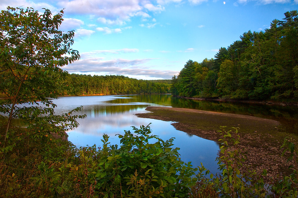
Moon Over Mongaup
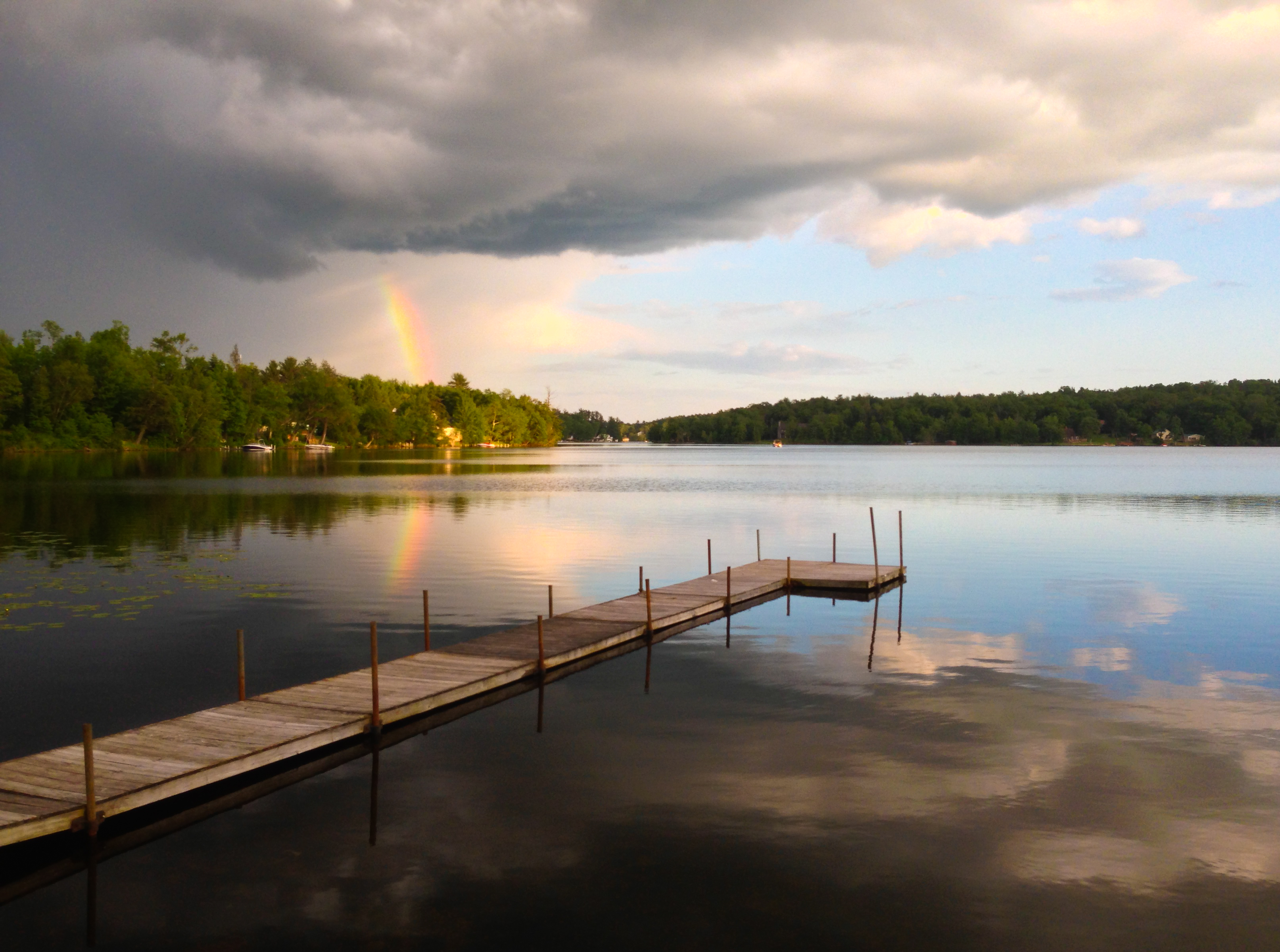
Partial Rainbow Over Kauneonga Lake

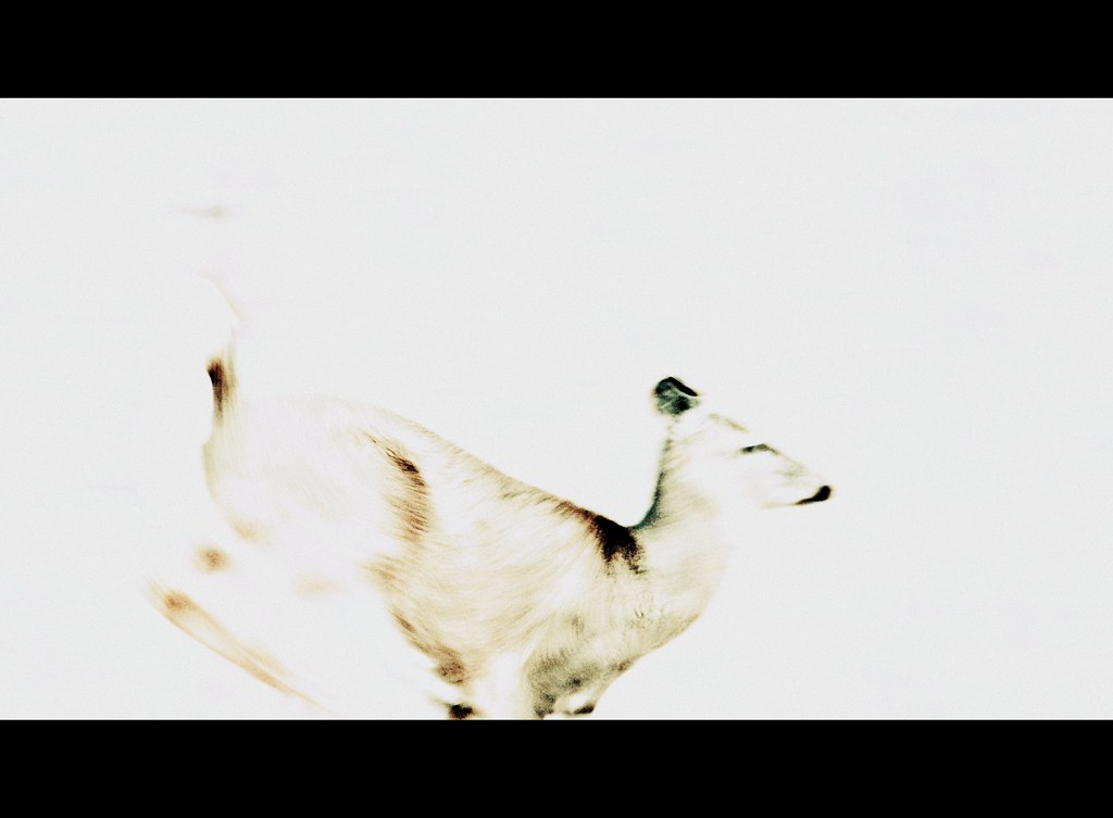
winter's dawn

Representatives For Woodstock
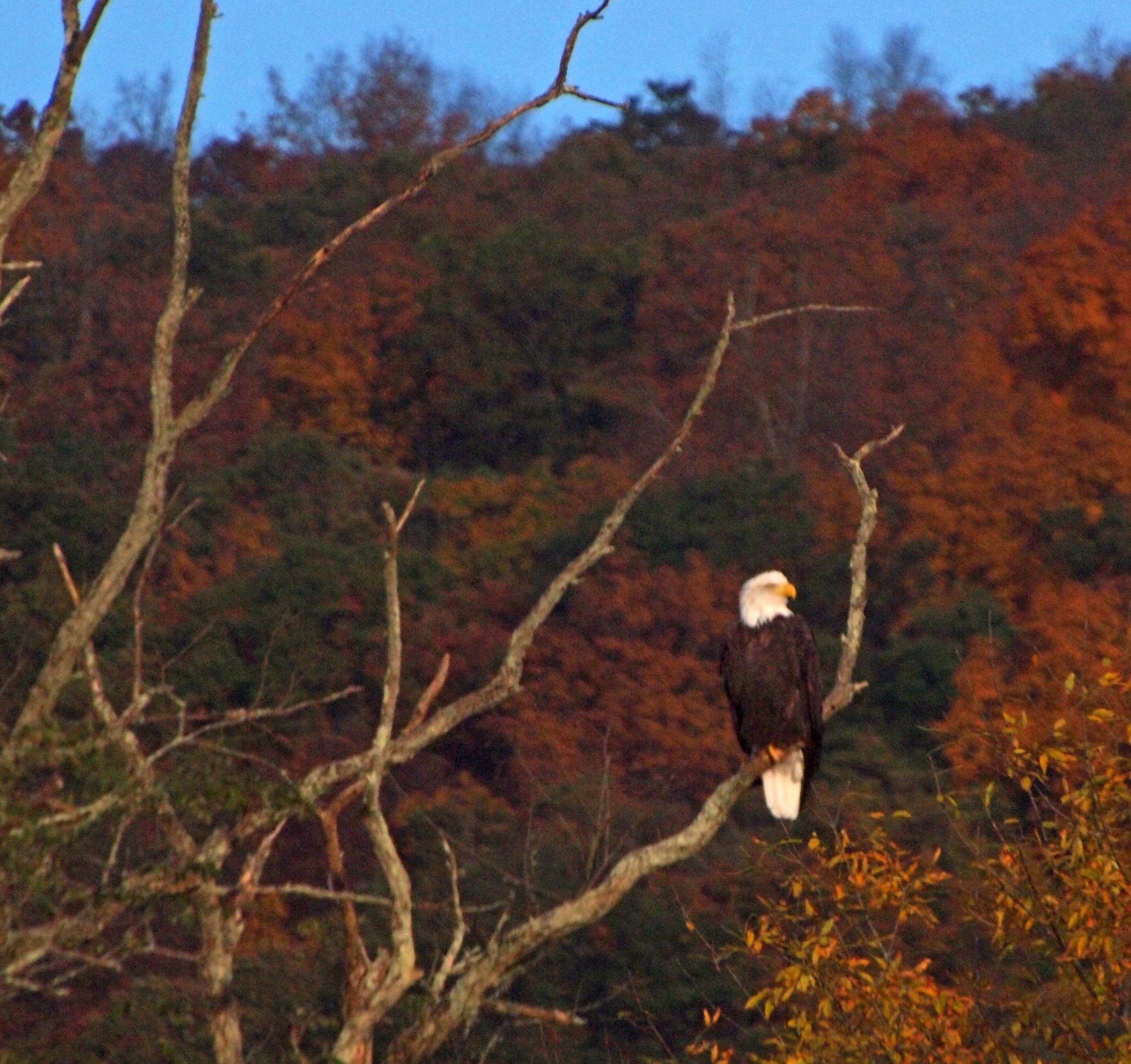
The eagle in his usual place
catch me if you can

Stephanie Grace

Twin Pond Reflections *Explore*

red doors

Fishing From Atlantis

View from the Roebling bridge

The Piano Player

5mph Wake

Silo And Barn

View from the kitchen door

Rocking By The Lake

View from the deck

Bam, fisheye view.

Moonlight on the Delaware

View from the deck

View of Lackawaxen, PA from Minisink Ford, NY; Roebling aqueduct.

Please Sit Somewhere Else

No Music - No Crowd - No Rain

in the woods
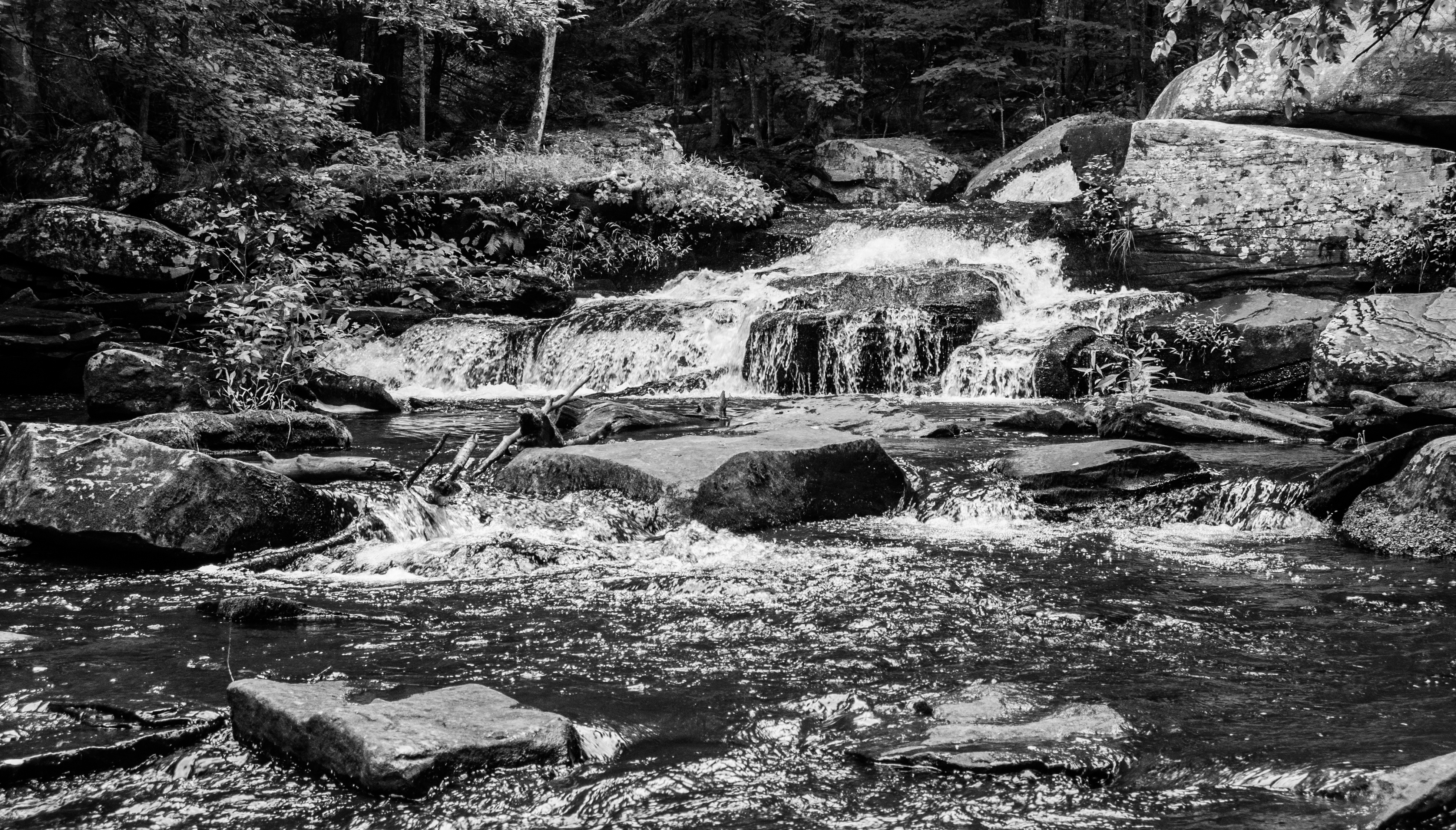
Summer Flow In Minnie Falls

Central New York Railroad bridge Number 9.

Chucho on the Camp Kunatah dock.

Where the Ten Mile River meets the Delaware

1969 Woodstock Totem Pole TP

Docked On Kauneonga Lake

The other side of the lake.

View from Roebling Bridge

Mahl's Pond. HDR.

My office view for today!!!

Delaware River, NY

View east from the deck, sunset

View upstream, Ten Mile River

Minute to Breathe
Topographic Map of State Rte 55, Eldred, NY, USA
Find elevation by address:

Places near State Rte 55, Eldred, NY, USA:
1279 Ny-55
Eldred Central School
Lake View Drive
123 Lake View Dr
Highland Lake
101 Proctor Rd
114 Proctor Rd
Mud Pond Road
76 Delaware Trail, Glen Spey, NY, USA
74 Moscoe Rd
White Lake, NY, USA
72 Lebanon Rd
37 Lake Ridge Rd
Sunflower Drive
1570 Forestburgh Rd
Smallwood
Smallwood, NY, USA
371 Starlight Rd
Sackett Lake
Forestburgh
Recent Searches:
- Elevation of Corso Fratelli Cairoli, 35, Macerata MC, Italy
- Elevation of Tallevast Rd, Sarasota, FL, USA
- Elevation of 4th St E, Sonoma, CA, USA
- Elevation of Black Hollow Rd, Pennsdale, PA, USA
- Elevation of Oakland Ave, Williamsport, PA, USA
- Elevation of Pedrógão Grande, Portugal
- Elevation of Klee Dr, Martinsburg, WV, USA
- Elevation of Via Roma, Pieranica CR, Italy
- Elevation of Tavkvetili Mountain, Georgia
- Elevation of Hartfords Bluff Cir, Mt Pleasant, SC, USA