Elevation of State Rd, Jacksonville, NC, USA
Location: United States > North Carolina > Onslow County > Jacksonville > Jacksonville >
Longitude: -77.378811
Latitude: 34.767999
Elevation: 12m / 39feet
Barometric Pressure: 101KPa
Elevation Map:
Satellite Map:
Related Photos:

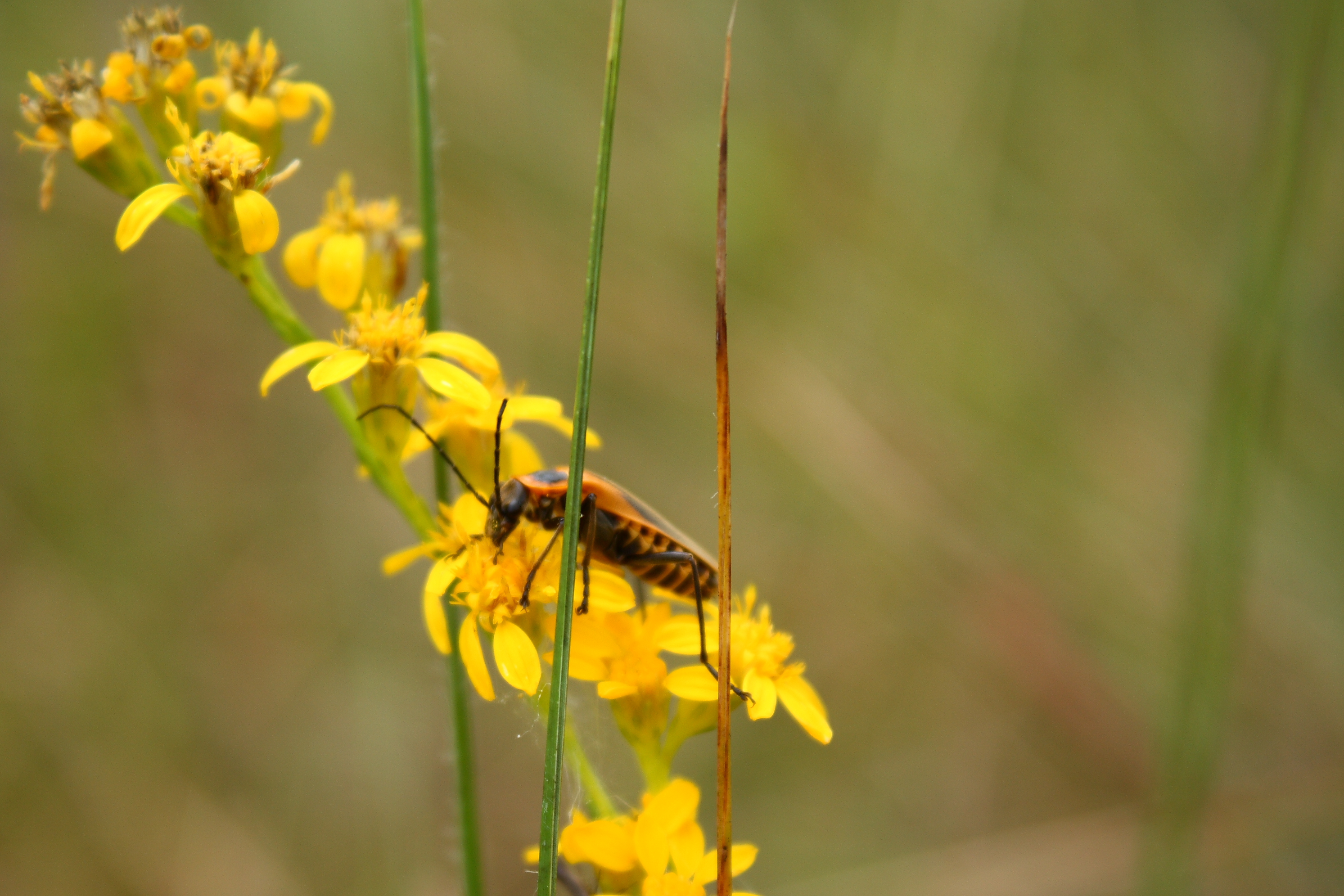
Argiope aurantia Sort of Oblique
Definitely Not
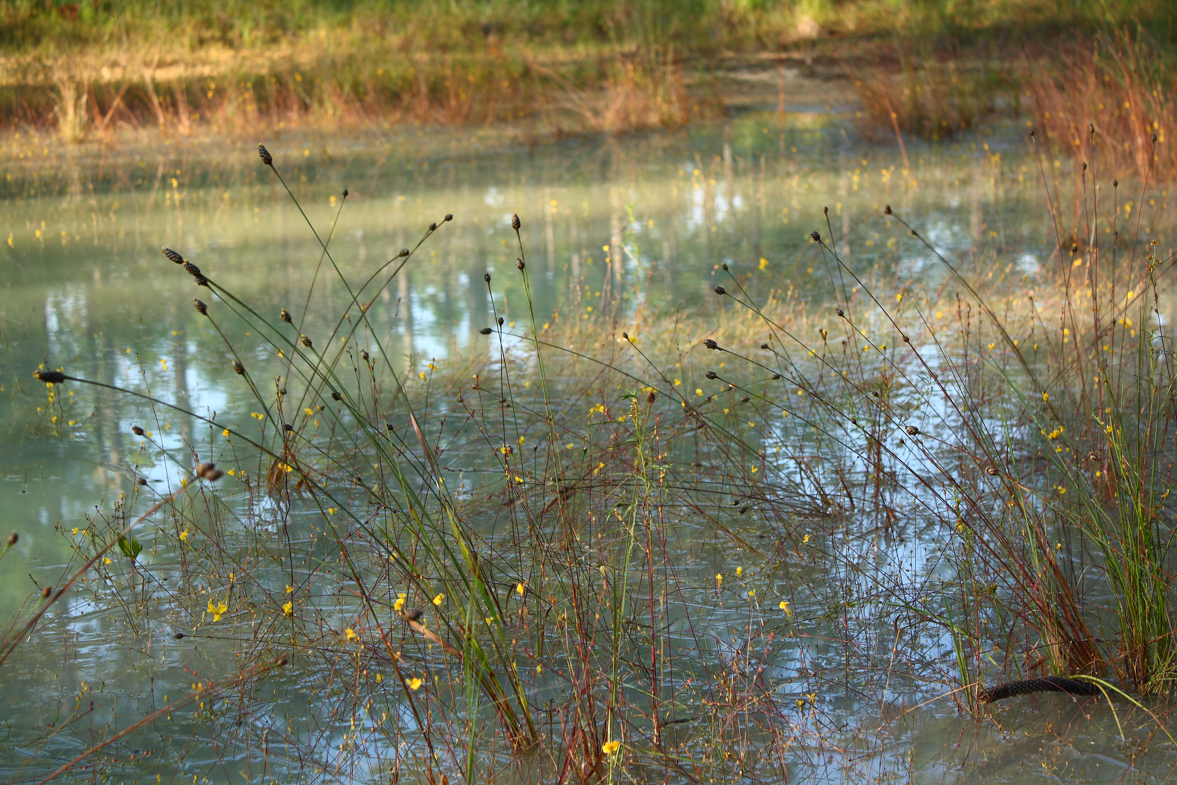
Daybreak Flowers
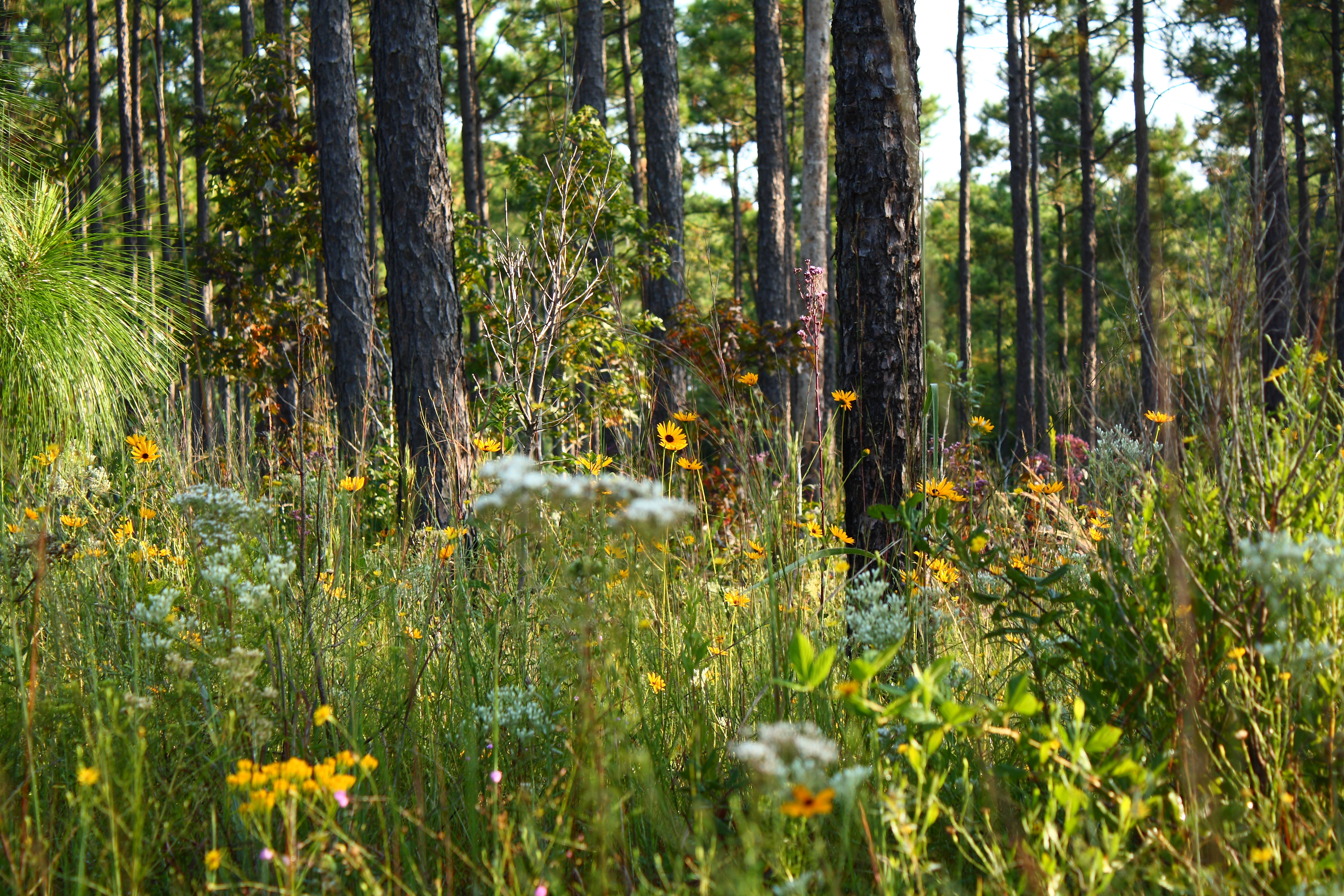
Tangled Banks

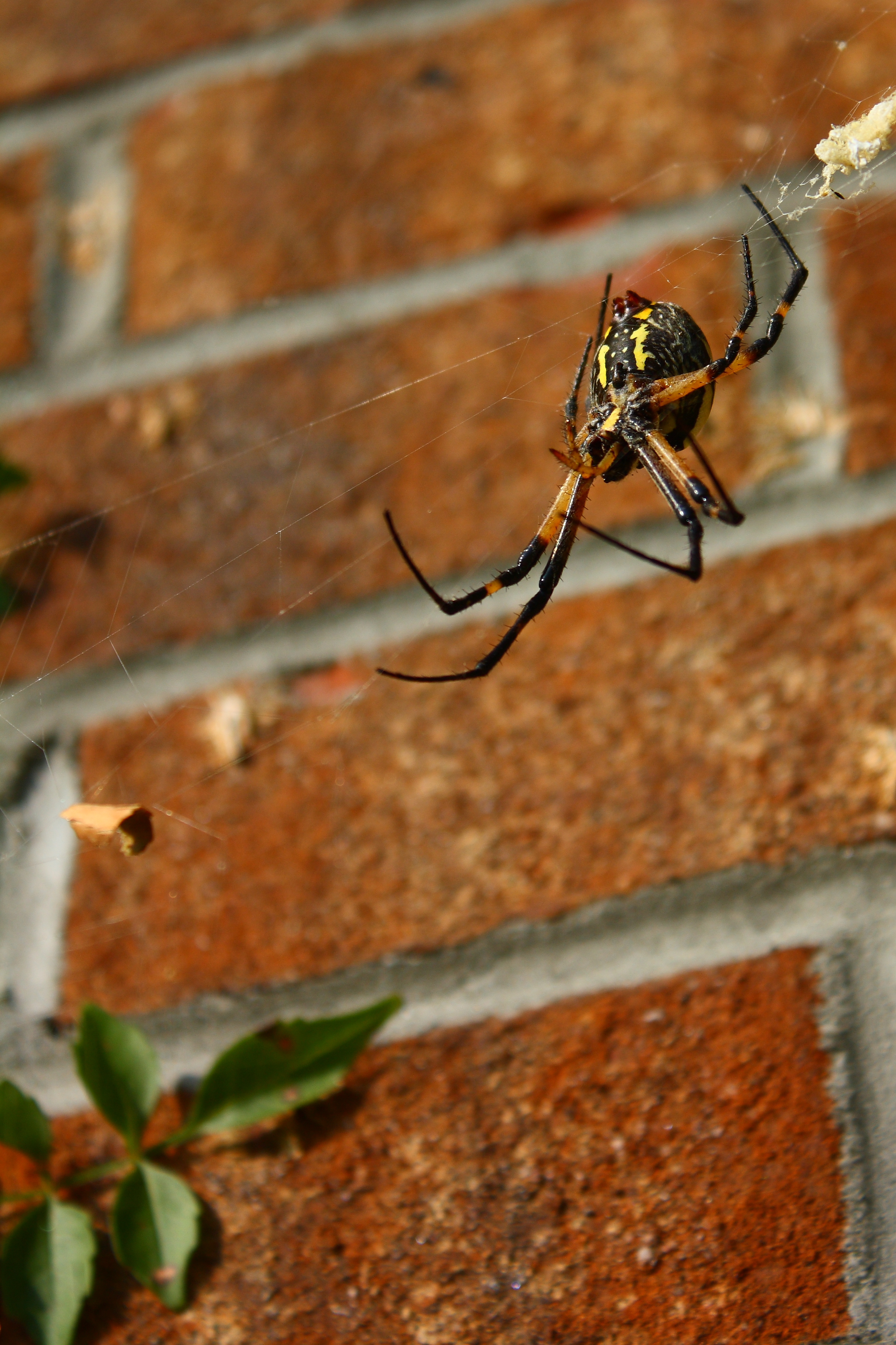
Argiope aurantia
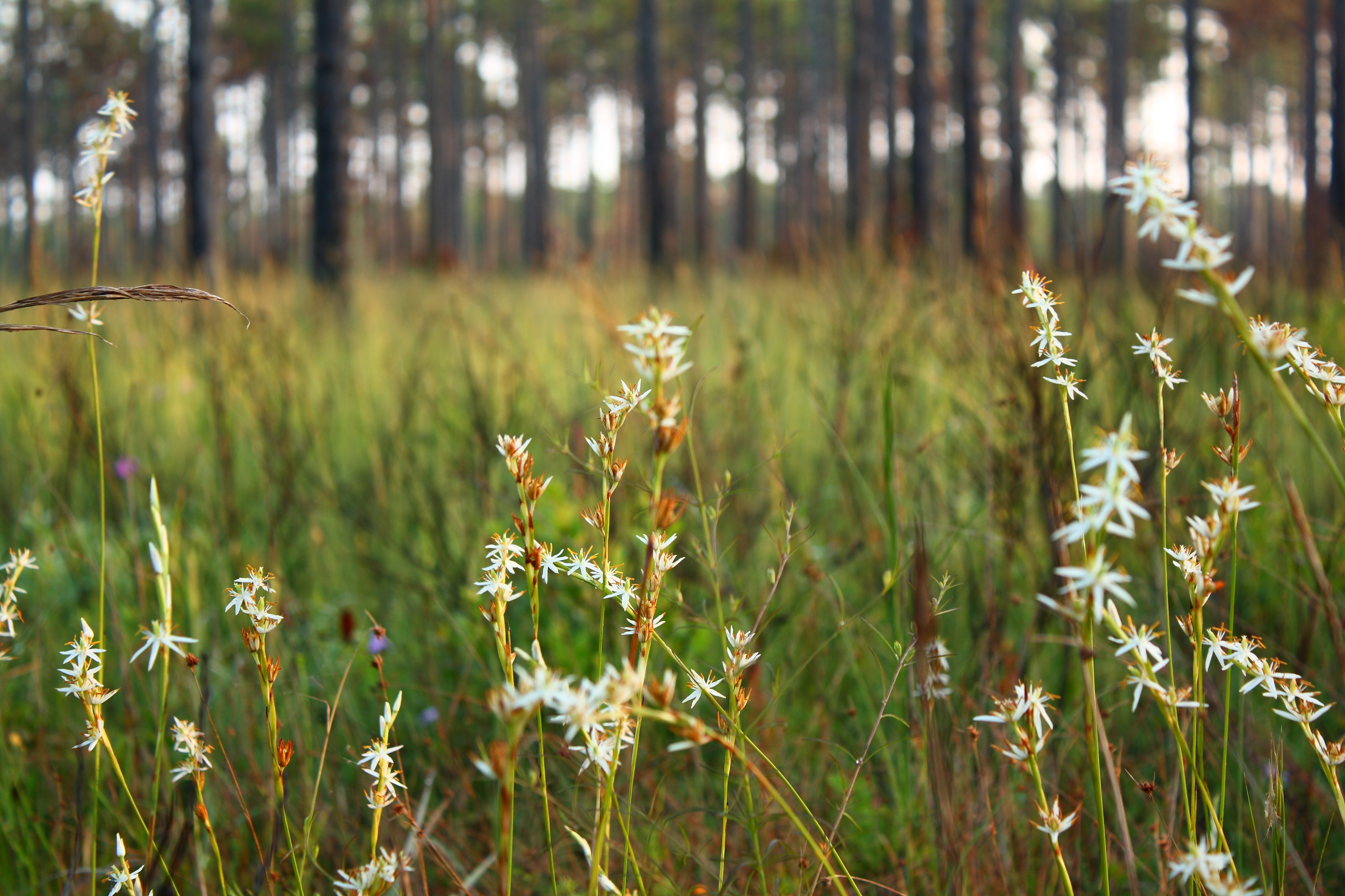
Morning White
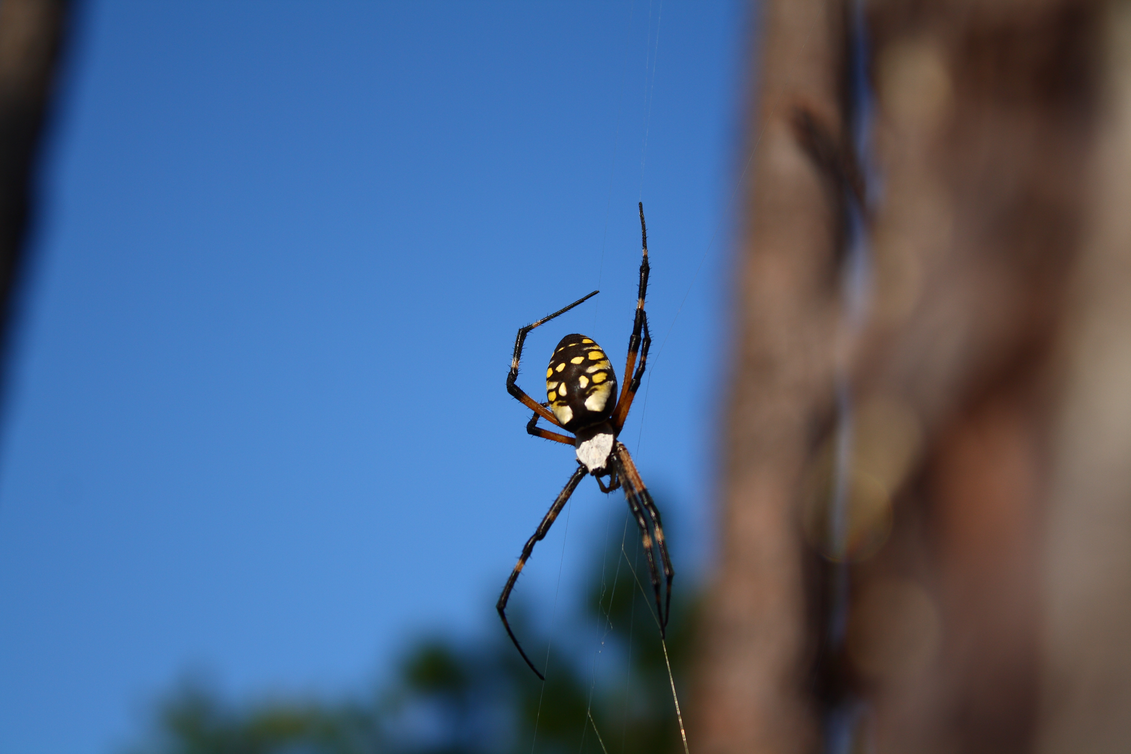
Argiope on Blue
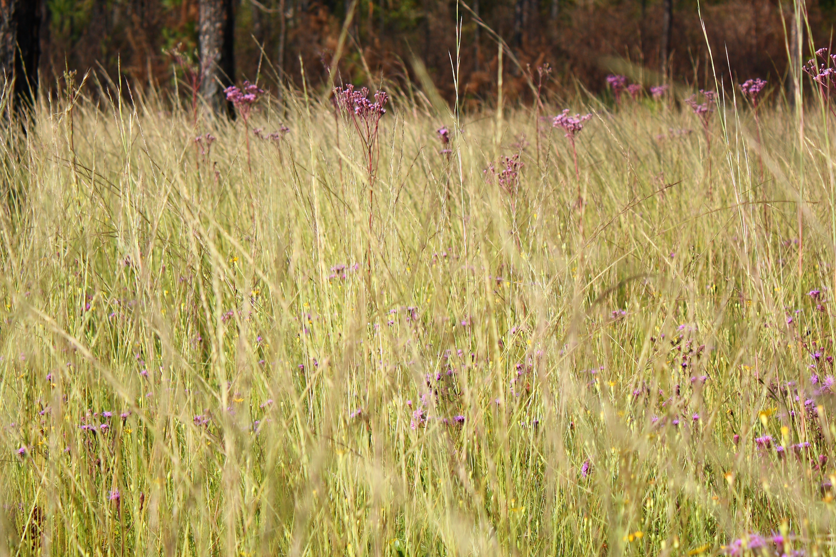
Through the Tall Grass
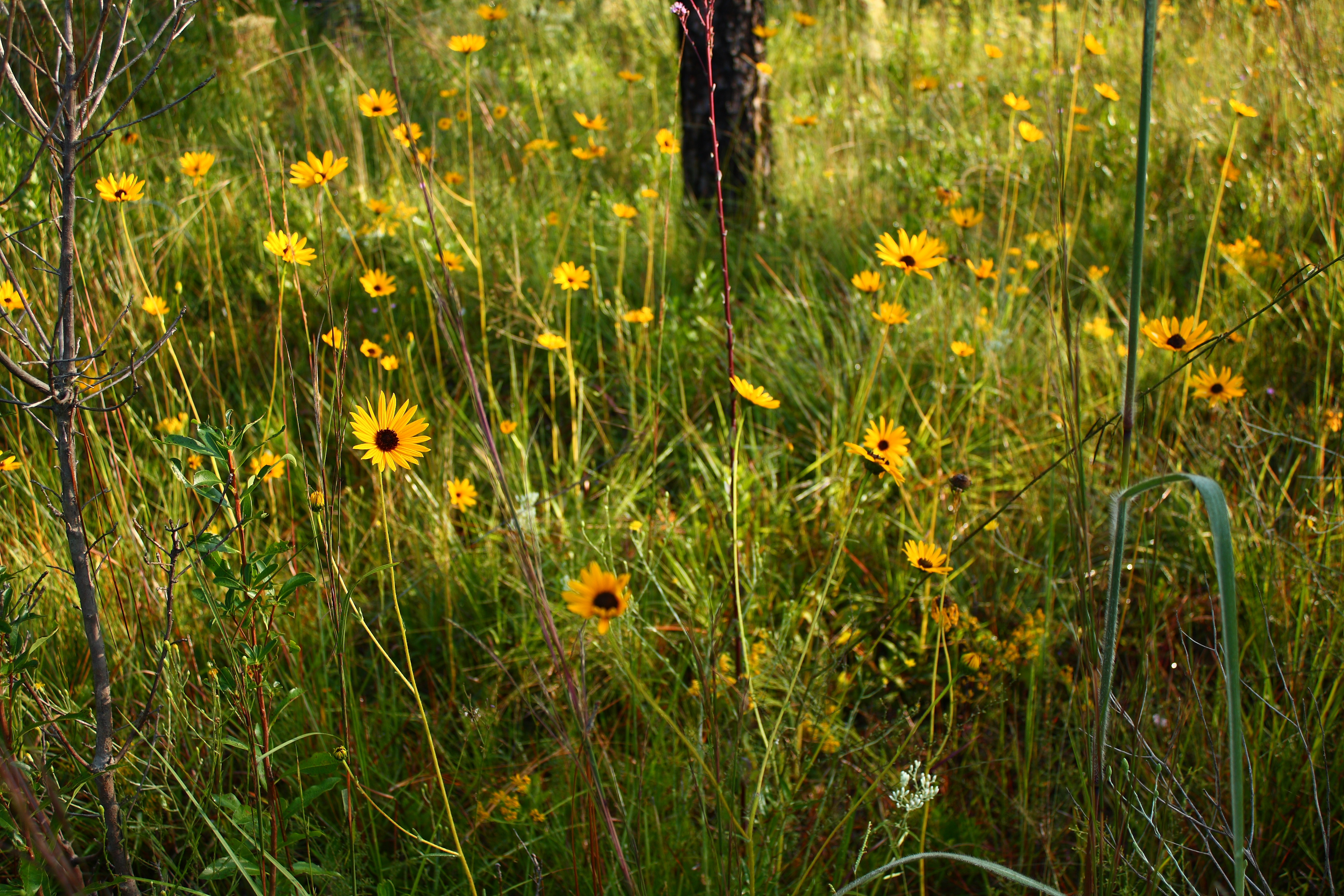
Yellow Field
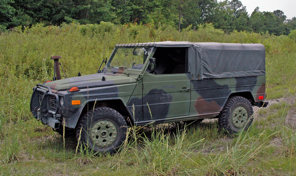
M1511 Left Side View
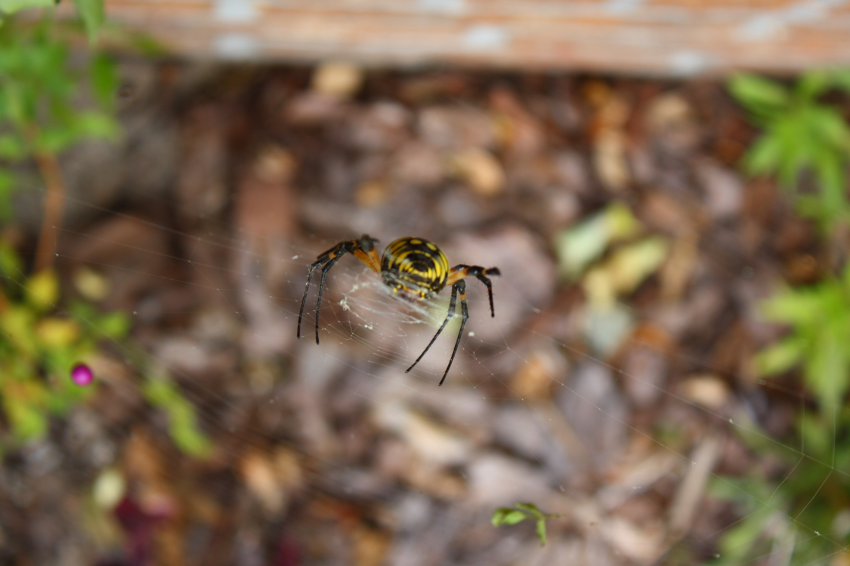
Spider Face
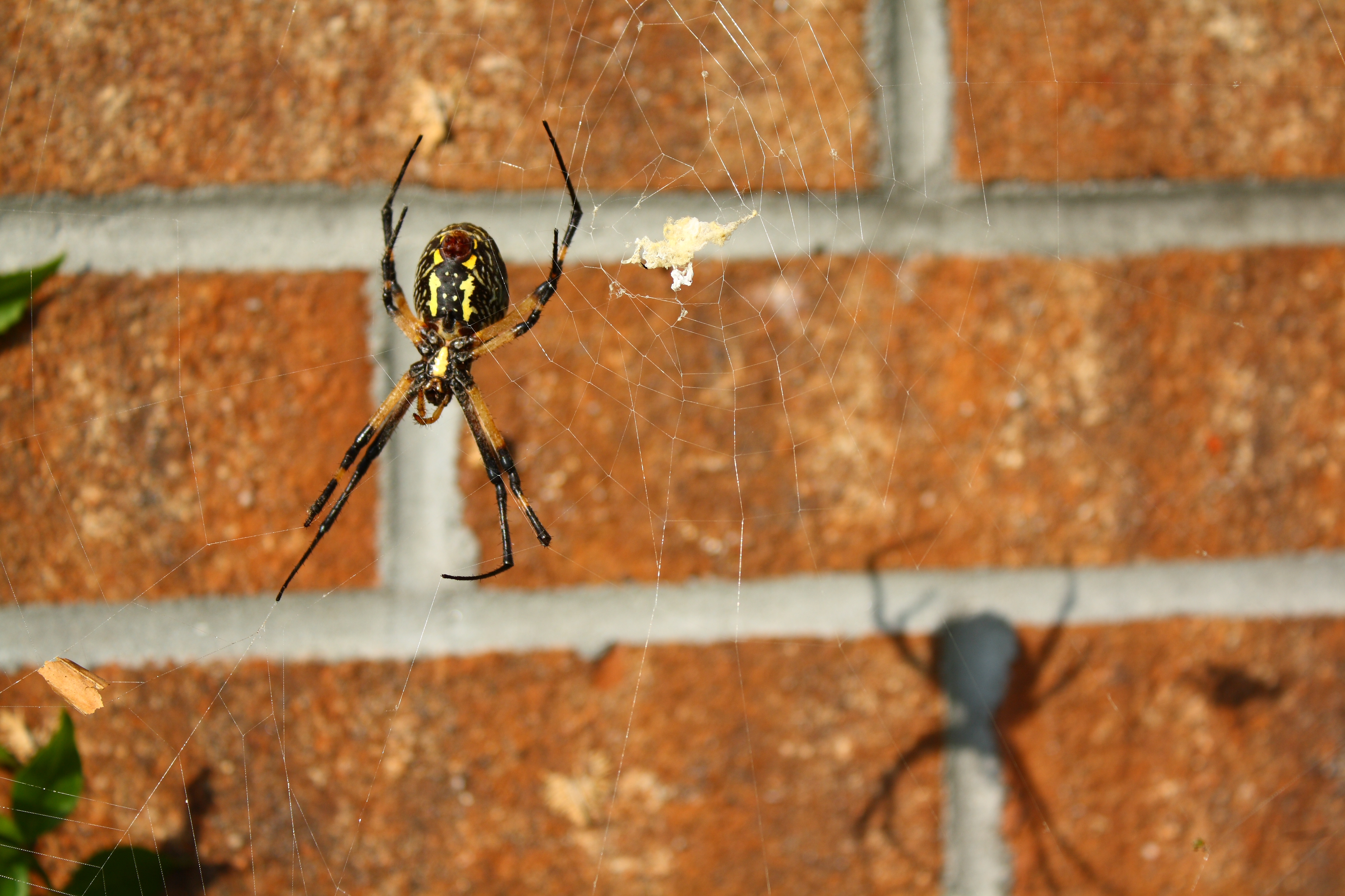
She and her Shadow

Canadian Goldenrod
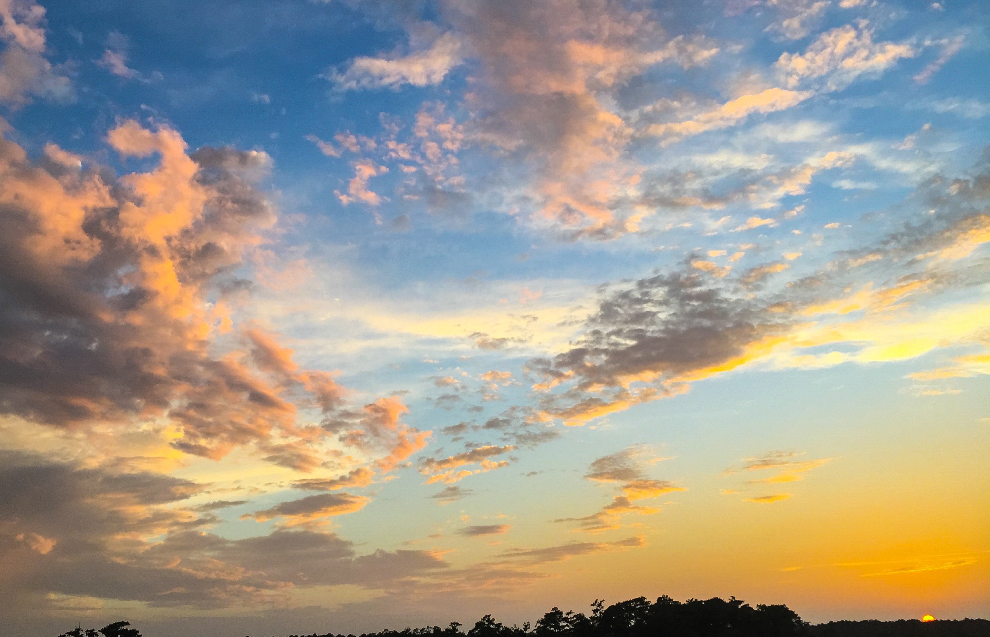
Sewel Bridge Sunset
Argiope aurantia Butt

Welcome to Jacksonville, North Carolina
Topographic Map of State Rd, Jacksonville, NC, USA
Find elevation by address:

Places near State Rd, Jacksonville, NC, USA:
Jacksonville Country Club
2226 Colony Plaza
Shoreham Dr, Jacksonville, NC, USA
302 Country Club Dr
2232 Warrenton Way
933 Welsh Ln
2055 N Marine Blvd
1955 N Marine Blvd
709 Bell Fork Rd
899 Lynchburg Dr
Furniture Fair
856 Pine Valley Rd
409 Tower Dr
409 Pine Valley Rd
921 Lynchburg Dr
Bell Fork Rd, Jacksonville, NC, USA
925 Lynchburg Dr
1210 Madison Ct
1815a Hargett St
300 Pine Valley Rd
Recent Searches:
- Elevation of Corso Fratelli Cairoli, 35, Macerata MC, Italy
- Elevation of Tallevast Rd, Sarasota, FL, USA
- Elevation of 4th St E, Sonoma, CA, USA
- Elevation of Black Hollow Rd, Pennsdale, PA, USA
- Elevation of Oakland Ave, Williamsport, PA, USA
- Elevation of Pedrógão Grande, Portugal
- Elevation of Klee Dr, Martinsburg, WV, USA
- Elevation of Via Roma, Pieranica CR, Italy
- Elevation of Tavkvetili Mountain, Georgia
- Elevation of Hartfords Bluff Cir, Mt Pleasant, SC, USA