Elevation of State Rd, Cullowhee, NC, USA

Location: United States > North Carolina > Jackson County > Mountain >

Longitude: -83.177313

Latitude: 35.2306482

Elevation: -10000m / -32808feet

Barometric Pressure: 295KPa

Elevation Map:

elevation map of State Rd, Cullowhee, NC, USA

Satellite Map:

Satellite map of State Rd, Cullowhee, NC, USA

Related Photos:

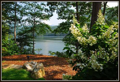
flowers trees lake mountains water grass rock nc northcarolina resort explore bearlakereserve nikkor1685vr blraug2010gsmnp
Bear Creek Lake aka Bear Lake - Explore #436
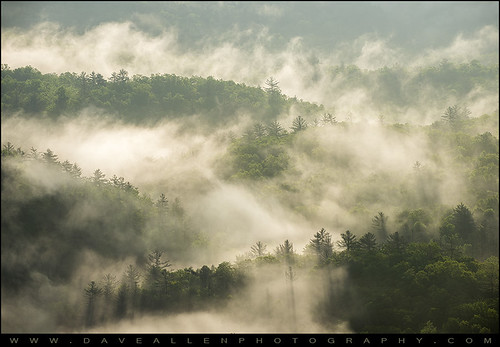
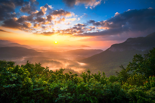
morning trees mist mountains nature fog nc highlands foggy northcarolina rays highlandsnc
Highlands NC Morning Mist - Blue Ridge Mountains Fog
morning travel light sun sunlight mountain mountains nature fog dave clouds sunrise magazine landscape outdoors photography landscapes nc spring highlands nikon published photographer allen outdoor fineart seasonal north foggy scenic northcarolina wideangle adventure nd hendersonville carolina vista op appalachian grad publishing appalachia blueridgemountains feature blueridge daveallen publish appalachians wnc featured highlandsnc westernnorthcarolina outdoorphotographermagazine d700
Outdoor Photographer Magazine Cover and Feature!
landscape highlands northcarolina whiteside
Stormy weather viewed from Whiteside Mtn, NC
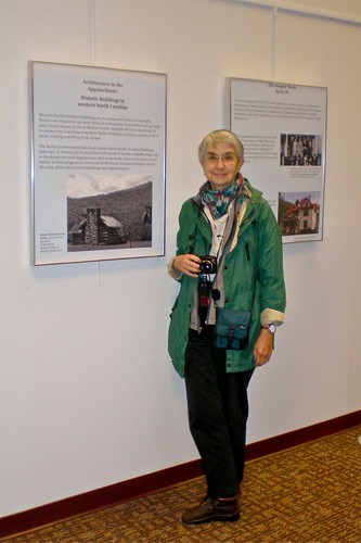
museum project student library exhibit logcabin wcu libslibs westerncarolinauniversity hunterlibrary mystuart
Me & My Photograph
bearshadow nantahalanationalforest whitesidemountain devilscourthouse fallcolor westernnorthcarolina iphone 5s affinityphoto
Umbra Ursus (iPhone version)
iphone 5s affinityphoto bearshadow
Bear hunt
highlands nc whitesides mountain landscape blueridgemountains nantahala horsecove cashiersnc highlandsnc scenic vista daveallen sunrise wnc westernnorthcarolina d700 nikon northcarolina outdoors nature clouds carolina mountains fog layers foliage sun sunset goldenhour morning spring photography summer travel mygearandmediamond artistoftheyearlevel6 haze mist foggy greatsmokymountains scenery outdoor
Highlands North Carolina Whitesides Mountain Sunrise Landscape NC
instagramapp square squareformat iphoneography uploaded:by=instagram
The Fantabulous View of 200'+ Flat Creek Falls from the elusive Boardtree Knob Cliffs
whitesidemountainhighlands nccashiers ncsunrisesunset
Rhodes Big View sunrise between Highlands and Cashiers, NC
autumn fall northcarolina whitesidemountain october2011 highlandscashiersroad
Whiteside Mountain View
Black Balsam
longexposure nature waterfall highlands nikon northcarolina cascade hdr photomatix cullasajafalls tonemapped highlandsnorthcarolina cullasajariver nikond90 cullasajarivergorge
Cullasaja Falls - Highlands, North Carolina.
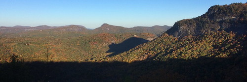
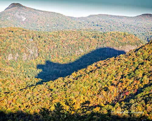
autumn shadow fall nature outdoors unitedstates scenic unusual rare phenomenon augphotoimagery
Shadow of the Bear
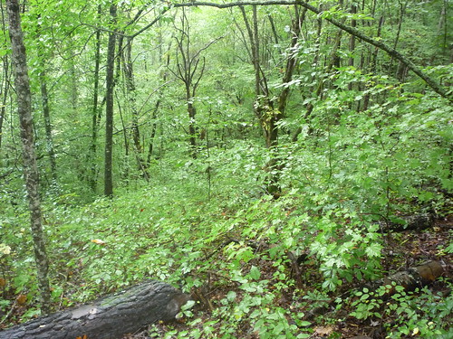
cabin woods northcarolina september2009
view from the road
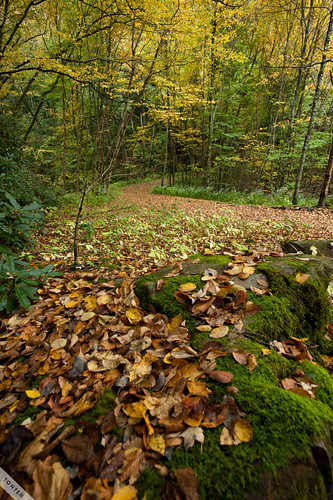
autumn leaves bearlakereserve
Autumn Reflection
macro spider arachnid truespider araneomorph
male Maevia sp (F Salticidae)
1970s 8track wcu yearbooks annuals catamount westerncarolinauniversity
1974 Western Carolina University Yearbook Cover
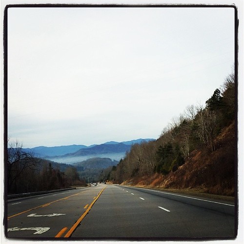
square lofi squareformat iphoneography instagramapp uploaded:by=instagram foursquare:venue=4cee9ef913aea143e0c56e9f
Driving thru the Smokey Mountains, what a view!
Leafhopper, Graphocephala sp (F Cicadellidae)
mountain yellow air sota summits tonemapped shortoff yaesuft817 alexloop ki4svm w4cwm028 w4cwm033
View of Shortoff Mountain
trees snow mountains fall clouds nc pond gates reserve northcarolina bluesky resort jacksoncounty tuckasegee nikkor1685vr greeterscottage blrmarchsnow2010
Greeters Cottage
mountains nature colors leaves yellow landscape nc falls parkway smoky tonten zf2 zeiss18 distagont3518
The Curve
westernnorthcarolina nantahalanationalforest cullasajariver infrared pentax k5 smcpentax13535mm iridientdeveloper
Cullasaja morning, infrared
nantahalanationalforest cullasajafalls
Cullasaja Falls, Cullasaja River Gorge, Nantahala National Forest, Macon County, North Carolina 4
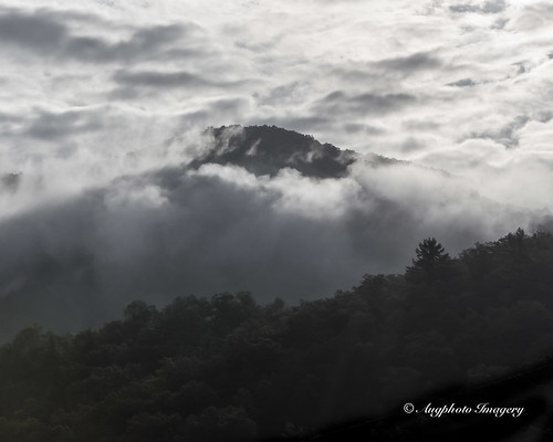
mountain dark unitedstates country scenic northcarolina cullowhee augphotoimagery
Dark Mountain Peak
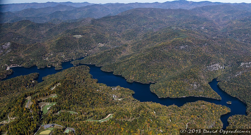
travel usa lake mountains nature water golf private nc fishing community realestate dam wildlife unitedstatesofamerica property northcarolina aerial reservoir nationalforest boating land aerialphoto recreation watersports bluestar blueridgemountains aerialphotography lots bearlake wnc nantahalanationalforest jacksoncounty westernnorthcarolina tuckasegee dukeenergy aerialphotographer bearcreeklake ncwildliferesourcescommission bearlakereserve bearcreekboatingaccessarea bluestarresortgolf nicklausdesigngroup 11025084436
Bear Lake Reserve Lakefront Real Estate on Bear Creek Lake
travel trees homes cliff usa mountain mountains nature rock nc realestate hiking unitedstatesofamerica scenic northcarolina visit aerial cliffs rockface adventure explore climbing dome granite land aerialphoto recreation wilderness cashiers rockclimbing luxury blueridgemountains aerialphotography highest tallest wnc crag nantahalanationalforest jacksoncounty westernnorthcarolina vacationhomes panthertown granitedome aerialphotographer laurelknob panthertownvalley mountainproperty mountainrealestate carolinaclimberscoalition 11025084436
Laurel Knob Granite Cliff in Panthertown Valley
travel usa lake mountains nature water golf private nc fishing community realestate dam wildlife unitedstatesofamerica property northcarolina aerial reservoir nationalforest boating land aerialphoto recreation watersports bluestar blueridgemountains aerialphotography lots bearlake wnc nantahalanationalforest jacksoncounty westernnorthcarolina tuckasegee dukeenergy aerialphotographer bearcreeklake ncwildliferesourcescommission bearlakereserve bearcreekboatingaccessarea bluestarresortgolf nicklausdesigngroup 11025084436
Bear Lake Reserve Lakefront Real Estate on Bear Creek Lake
asheville g10 paradisefallsparadiseswimmingholewaterfallwncpanthertown
Paradise Falls Lower BW
nature franklin waterfall highlands whitewater fineart northcarolina falls westernnorthcarolina cullasajafalls superbmasterpiece northcarolinawaterfalls waterfallsofthecarolinas cullasajagorge nc64
Cullasaja Falls
mountain yellow air sota summits tonemapped shortoff yaesuft817 alexloop ki4svm w4cwm028 w4cwm033
Sunset from Shortoff Mountain
square squareformat iphoneography instagramapp uploaded:by=instagram
Emily's Cascades #emilyscascades #panthertownvalley #forkcreek #stillhousefalls #recreation_gov #landofwaterfalls #brevard #wilderness_culture #welovenc #we_see_wnc #828isgreat #diamondbrand_outdoors #waterfallhiking #honeybadgerhiking #blueridgecountry #
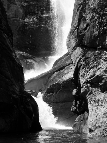
longexposure blackandwhite bw white black water canon flow waterfall highlands rocks gray sigma northcarolina falls f16 valley nd gorge nik flowing lightroom 70d silverefexpro2
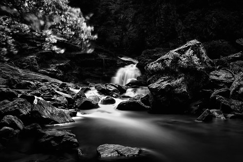
Dark Tranquility
autumn fall waterfall cullasajafalls uploaded:by=flickrmobile flickriosapp:filter=nofilter
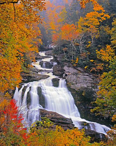
Cullasaja falls
autumn fall canon waterfall highlands f11 24105 nantahalanationalforest cullasajafalls franklinroad canonef24105mmf4lis highway64 ef24105mmf4lisusm canoneos5dmarkii cullasajarivergorge mountainwatersscenicbyway
Cullasaja Falls
square squareformat iphoneography instagramapp uploaded:by=instagram
SchoolHouse Falls #panthertownvalley #schoolhousefalls #littlegreentrail #landofwaterfalls #828isgreat #waterfallpics #wnc #waterfallhiking #igersoftheday #cashiers #brevard #ncwaterfalls #northcarolinawaterfalls #blueridgecountry #transylvaniacounty