Elevation of State Hwy ZZ, Cuba, MO, USA
Location: United States > Missouri > Crawford County >
Longitude: -91.469048
Latitude: 38.0371051
Elevation: 321m / 1053feet
Barometric Pressure: 98KPa
Elevation Map:
Satellite Map:
Related Photos:

The Most Haunted House in Crawford County - - The Snelson-Brinker House
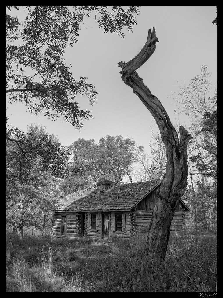
The Most Haunted House in Crawford County - - The Snelson-Brinker House - No. 2
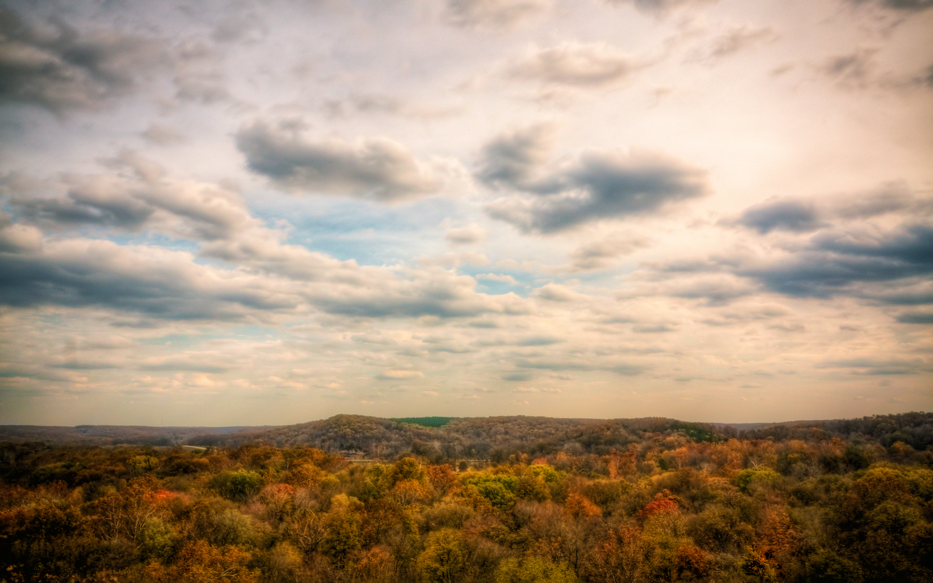
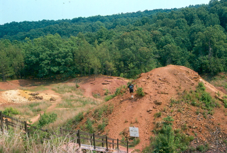
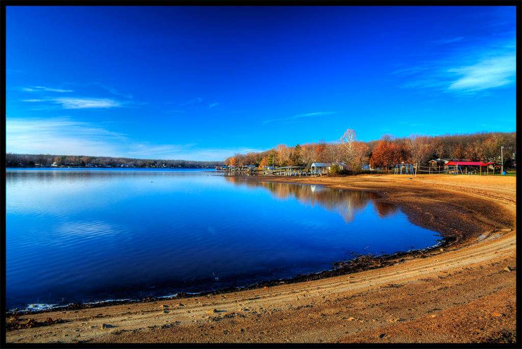
Quite an Overlook :: HDR

ROUTE66_2010_0436c - CUBA MO

ROUTE66_2010_0436d - CUBA MO

Wagon Wheel Motel, Cuba (Mo.), 22 May 2010
Wagon Wheel Motel, Cuba (Mo.), 22 May 2010
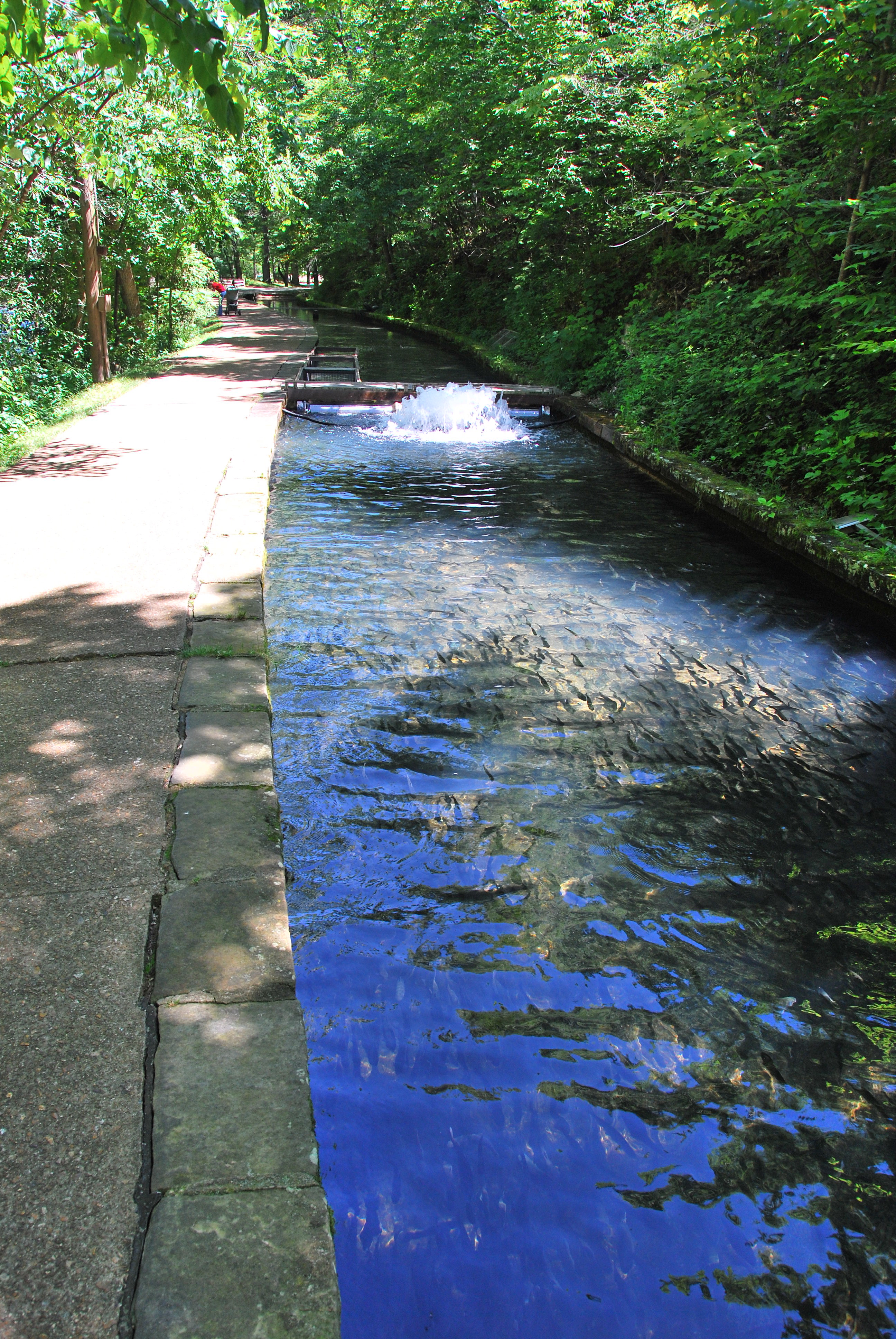
Thousands of fingerling trout
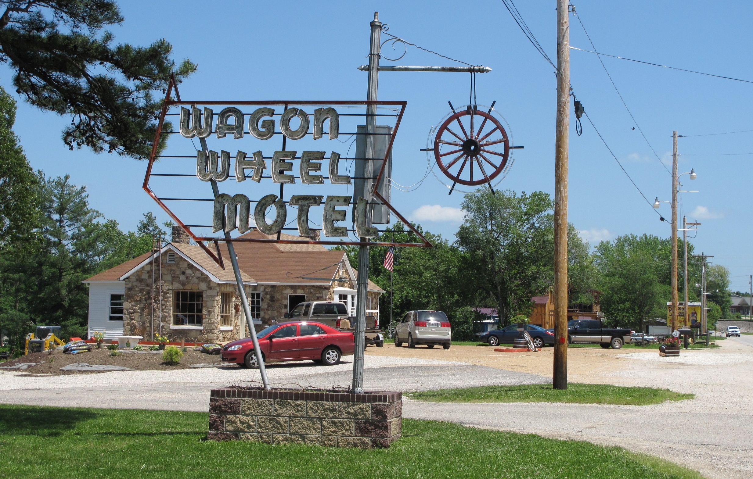
Wagon Wheel Motel, Cuba (Mo.), 22 May 2010
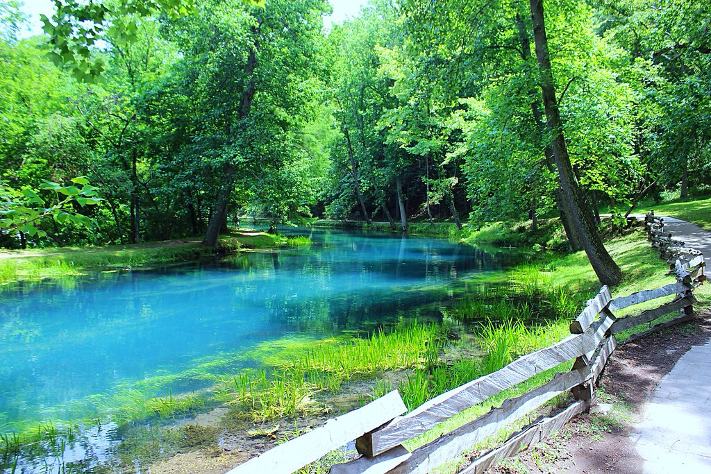
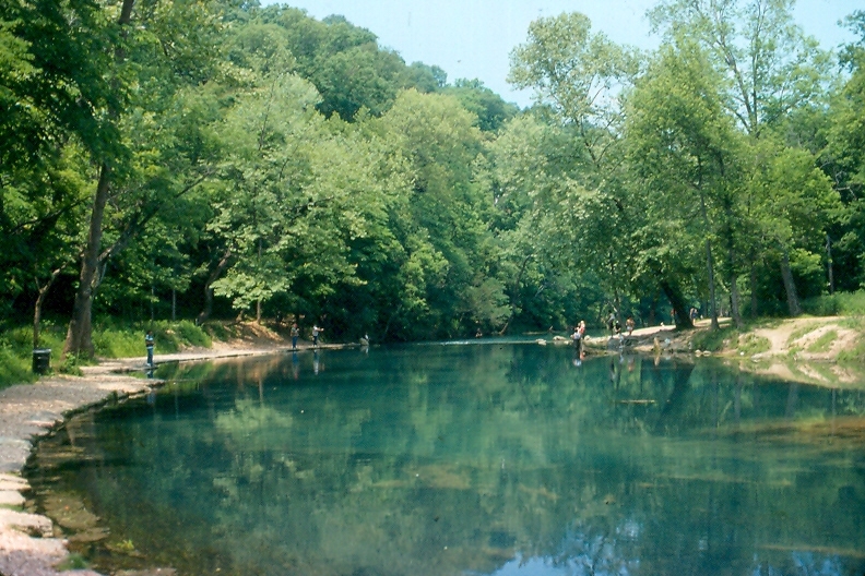
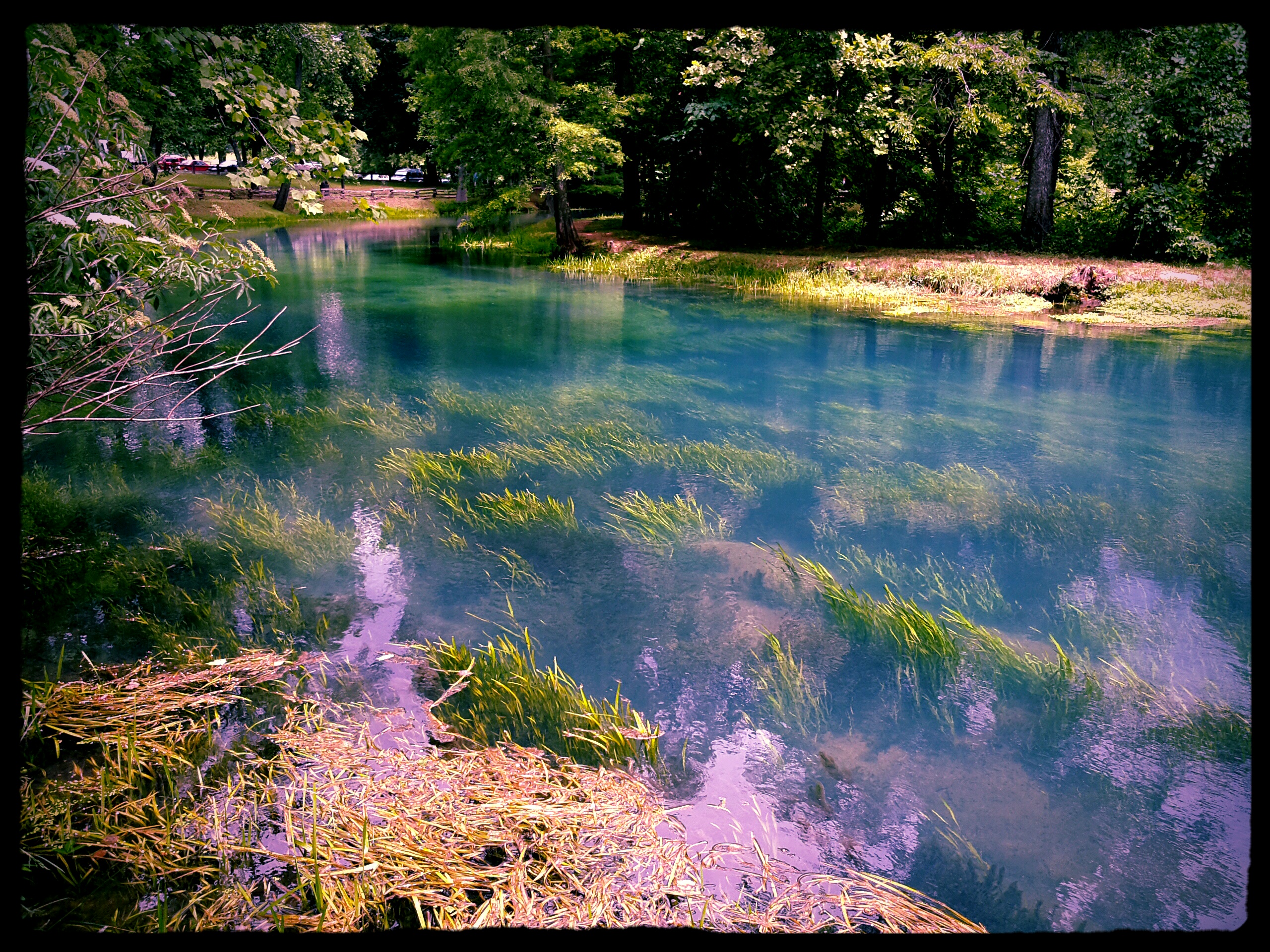
Turquoise waters
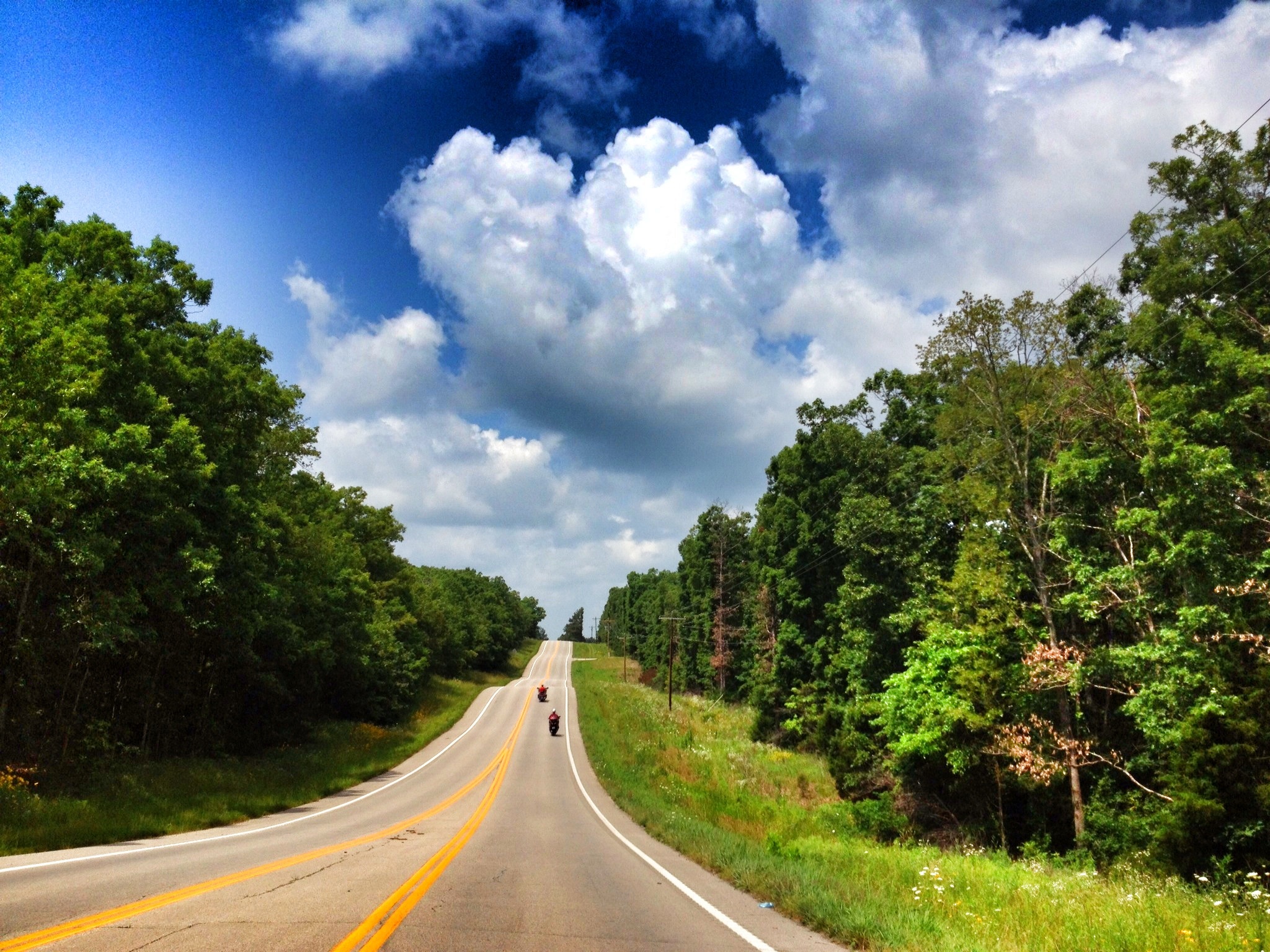
Ribbon Road out of Steelville

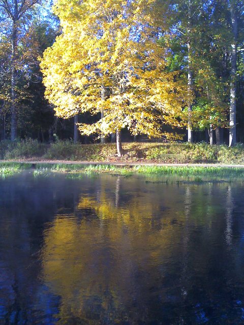
Lately Early :: HDR

#severewx #storm #Cuba #Missouri #CloudFormations
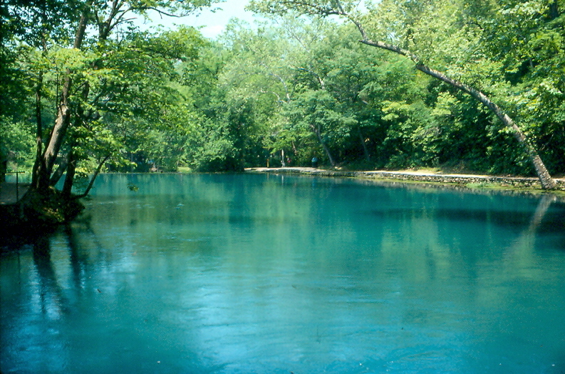
Maramec Spring Park, Phelps County (Mo.), 13 June 1992
Maramec Spring Park, Phelps County (Mo.), 13 June 1992
Maramec Spring Park, Phelps County (Mo.), 13 June 1992

Maramec Springs
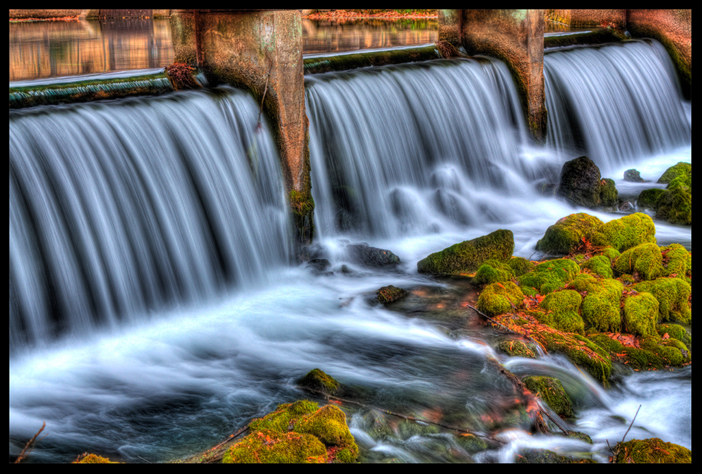
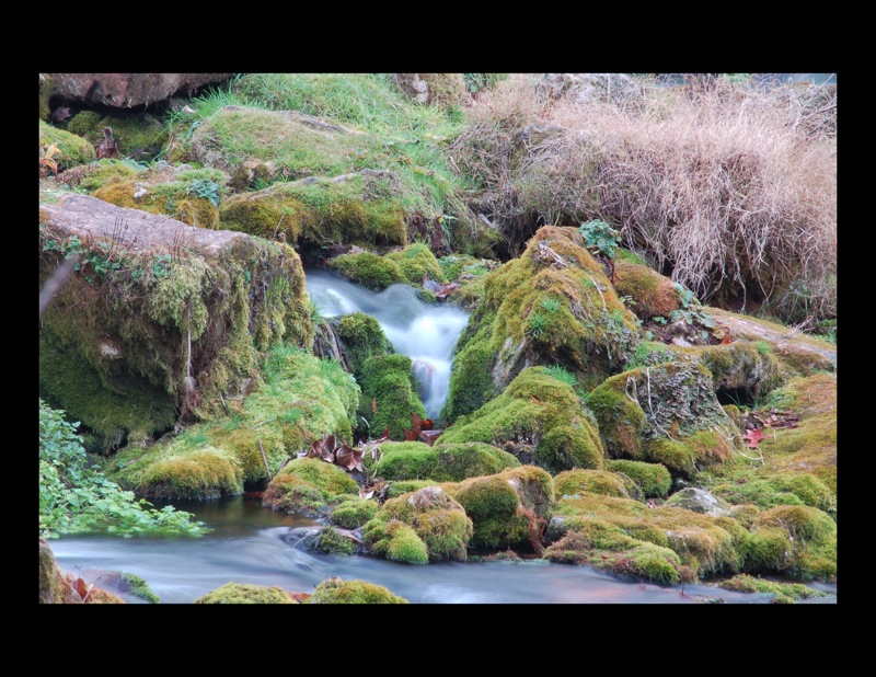
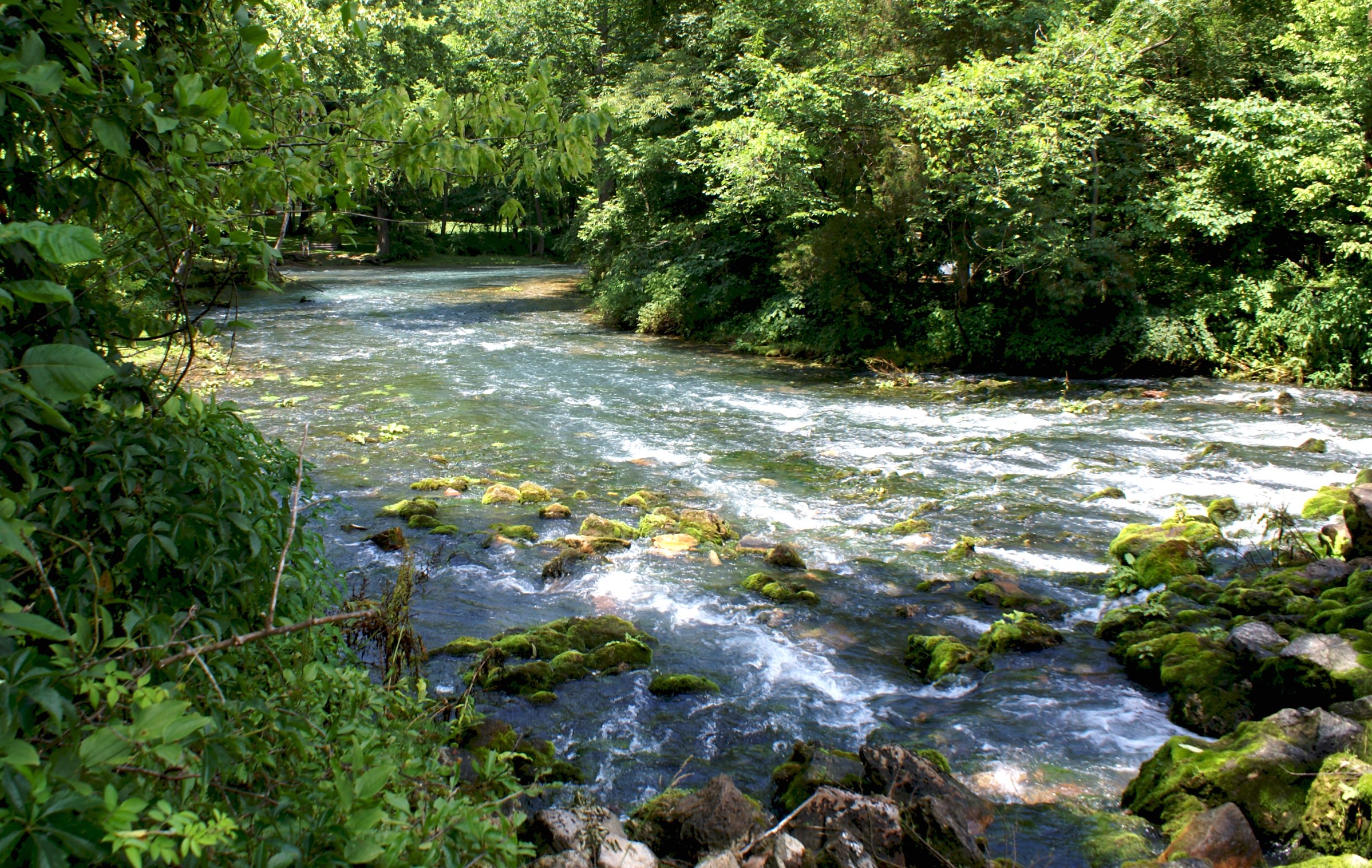
Where the Water Flows and the Green Moss Grows :: HDR
rocks2.jpg
II Maramec Springs Sept 2011 (27)
maramec springs, missouri
Meremec Spring
Bluey Blueness :: HDR

Meramec River Run :: HDR

Sunrise on Meramec River

II Maramec Springs Sept 2011 (37)
meramac springs
Maramec Spring
Topographic Map of State Hwy ZZ, Cuba, MO, USA
Find elevation by address:

Places near State Hwy ZZ, Cuba, MO, USA:
1111 Beamer Ln
Co Rd, St James, MO, USA
St. James Township
Saint James
St James City Police
15 Terry Ln
14845 Private Drive 1124
4331 Elk Head Rd
3825 Miller Dr
State Route V
Clay Township
Co Rd, Rolla, MO, USA
13999 Maries Rd 449
202 L And D Dr
102 E Oak Ln
Owensville
Bland
Canaan Township
14319 State Rte Y
1683 Tschappler Rd
Recent Searches:
- Elevation of Corso Fratelli Cairoli, 35, Macerata MC, Italy
- Elevation of Tallevast Rd, Sarasota, FL, USA
- Elevation of 4th St E, Sonoma, CA, USA
- Elevation of Black Hollow Rd, Pennsdale, PA, USA
- Elevation of Oakland Ave, Williamsport, PA, USA
- Elevation of Pedrógão Grande, Portugal
- Elevation of Klee Dr, Martinsburg, WV, USA
- Elevation of Via Roma, Pieranica CR, Italy
- Elevation of Tavkvetili Mountain, Georgia
- Elevation of Hartfords Bluff Cir, Mt Pleasant, SC, USA