Elevation of State Hwy S, Jenkinsville, SC, USA
Location: United States > South Carolina > Fairfield County > Jenkinsville >
Longitude: -81.297962
Latitude: 34.351983
Elevation: 150m / 492feet
Barometric Pressure: 100KPa
Elevation Map:
Satellite Map:
Related Photos:
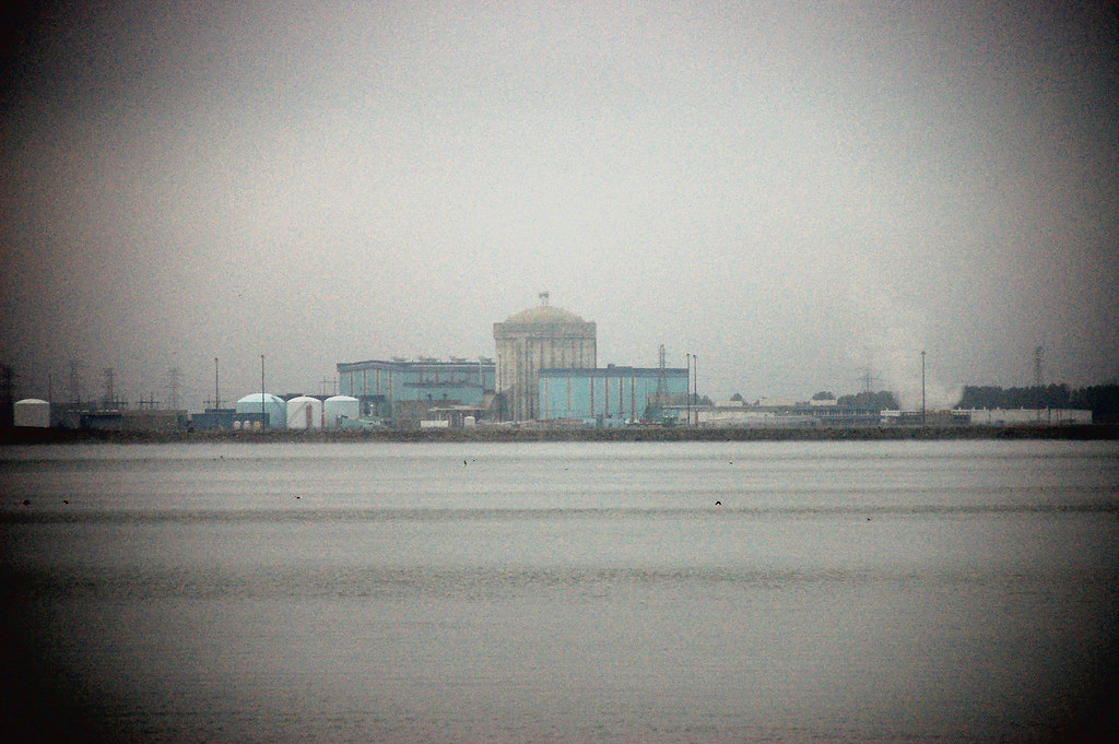
Parr Shoals Nuclear Plant
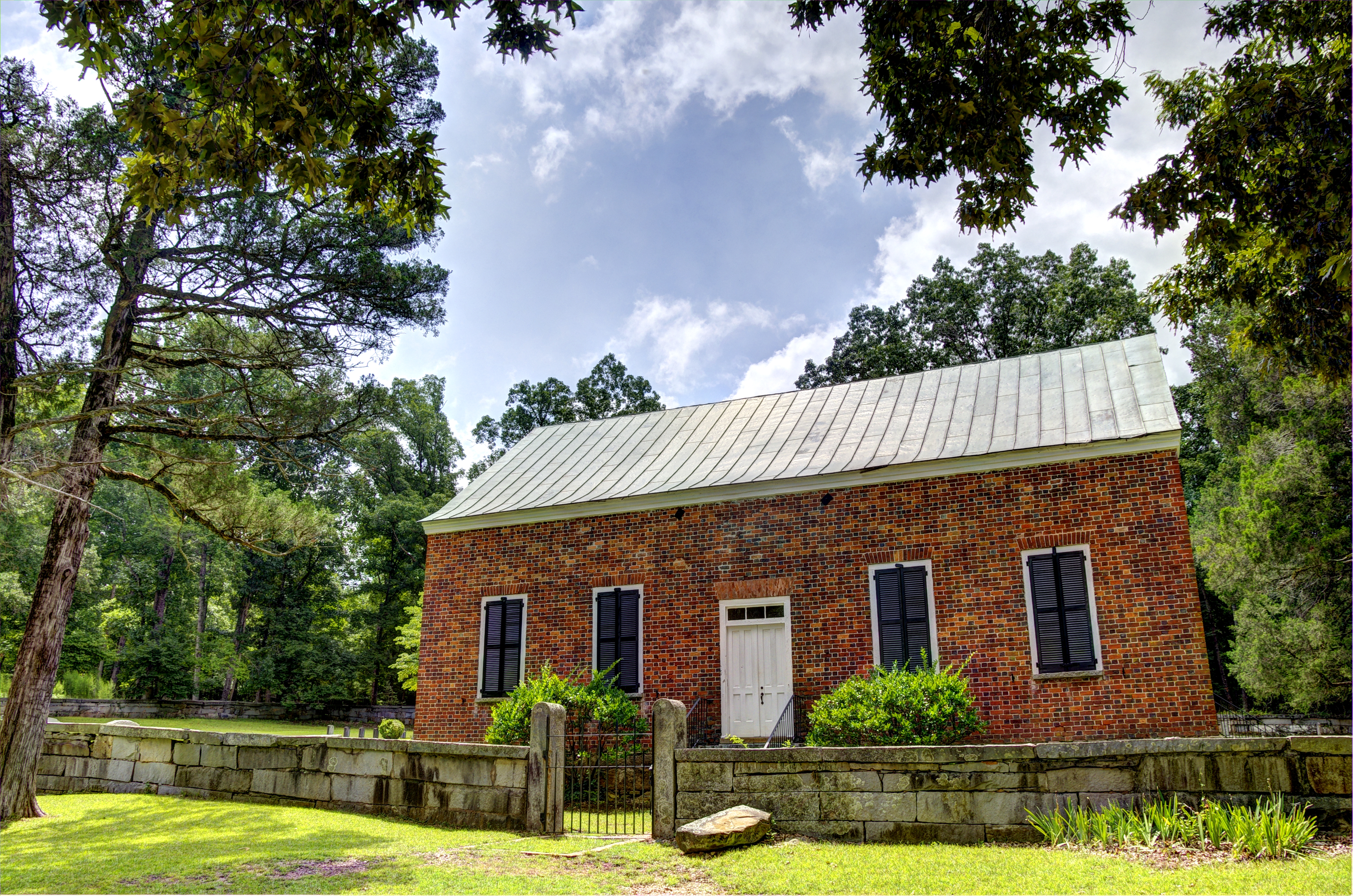
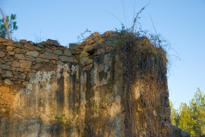
Old Brick Church: Front View (1788)
Old Brick Church: Side View (1788)
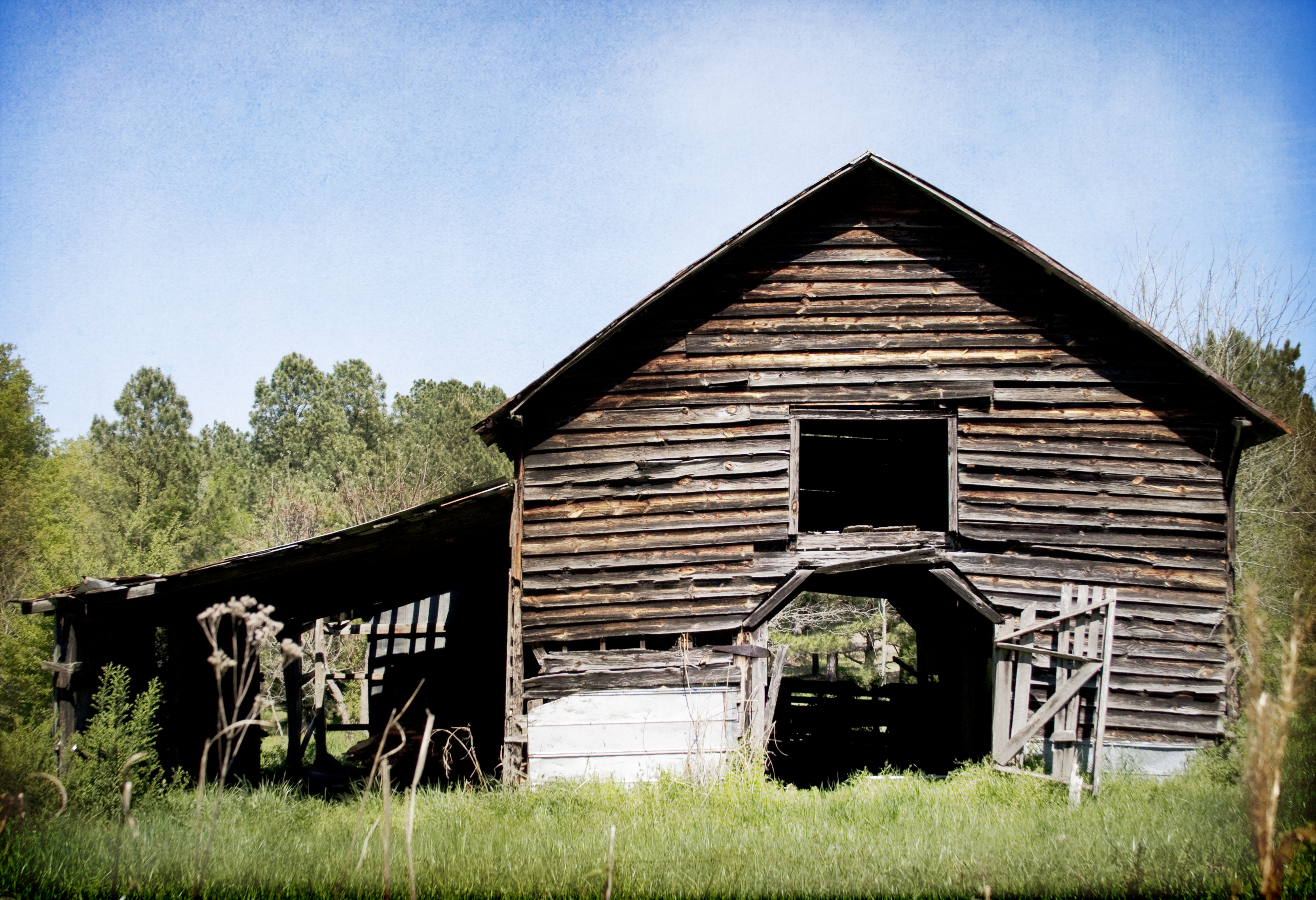
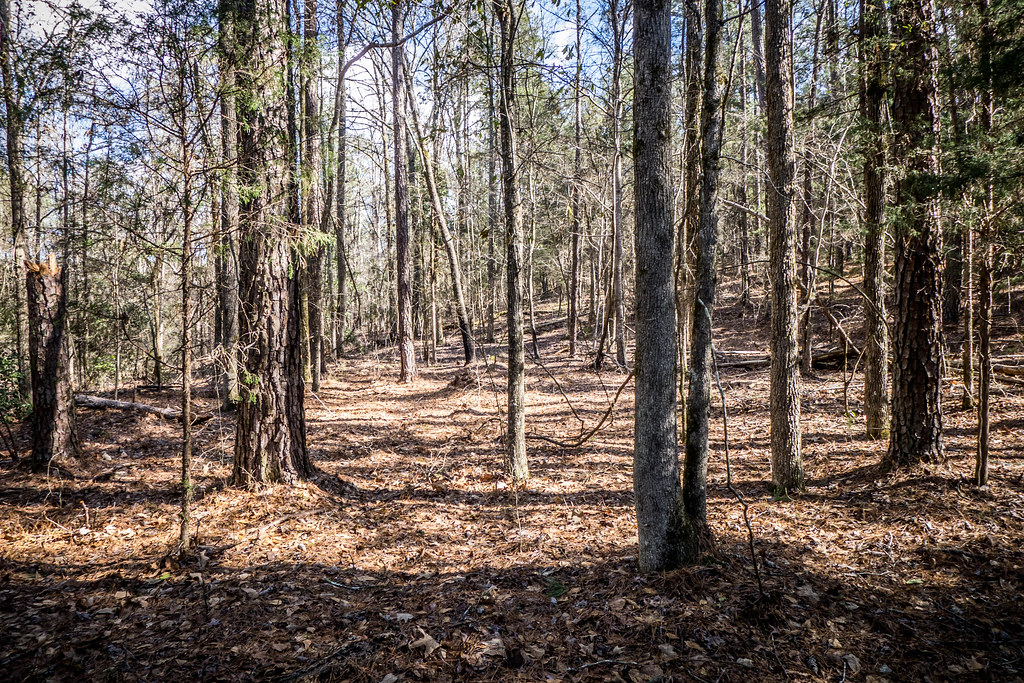
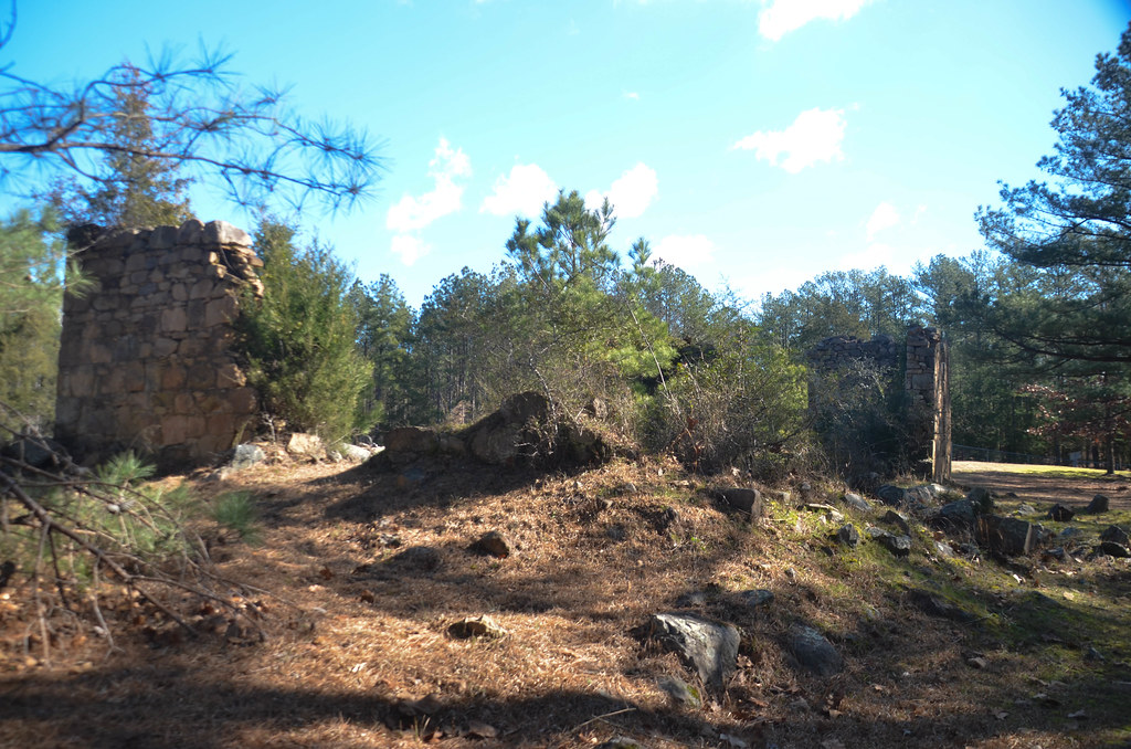
sylvan view
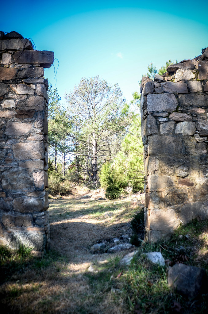
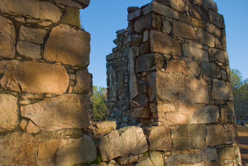
See through

Monticello Manor
Pomaria Downtown
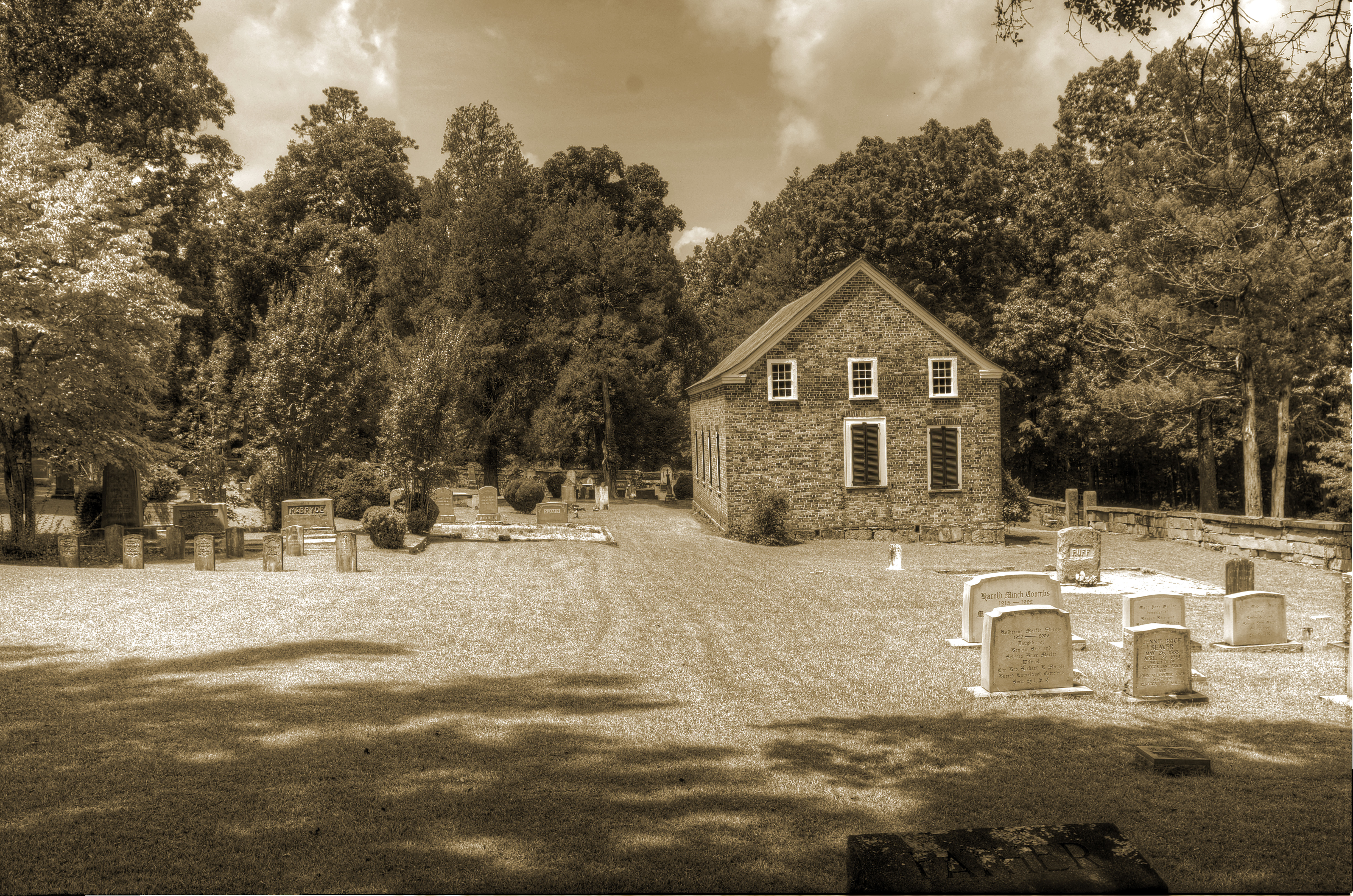
Old Lebanon Presbyterian Church and Cemetery-055
Old Lebanon Presbyterian Church and Cemetery-053
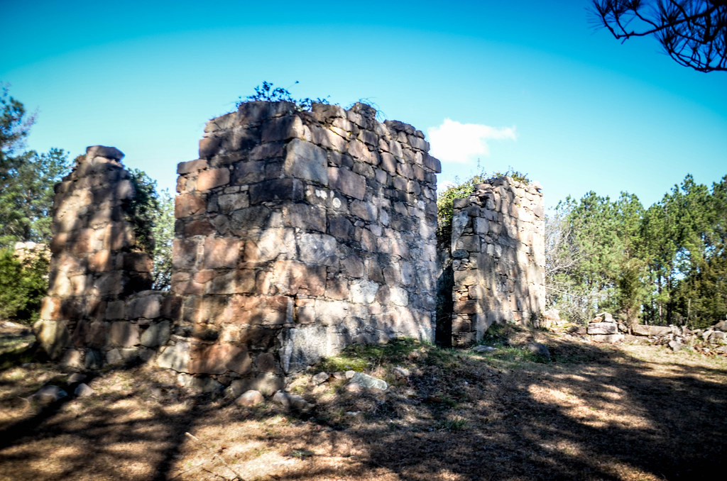
Gladney Cemetery

Palmetto Trail 210

Jenkinsville School and Teacherage-010

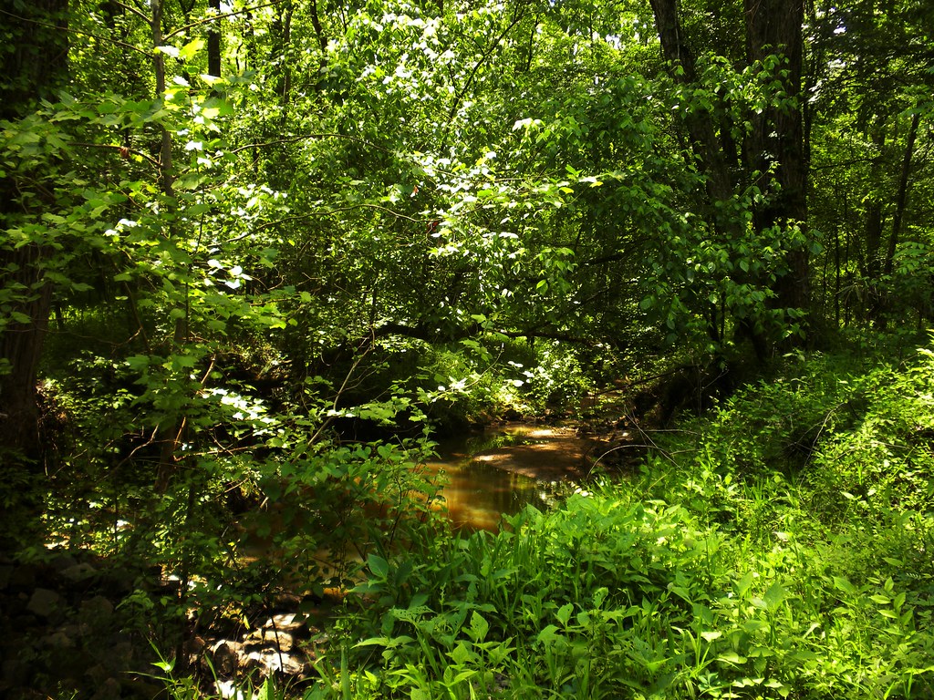
Jackson Creek
winnsboro-3
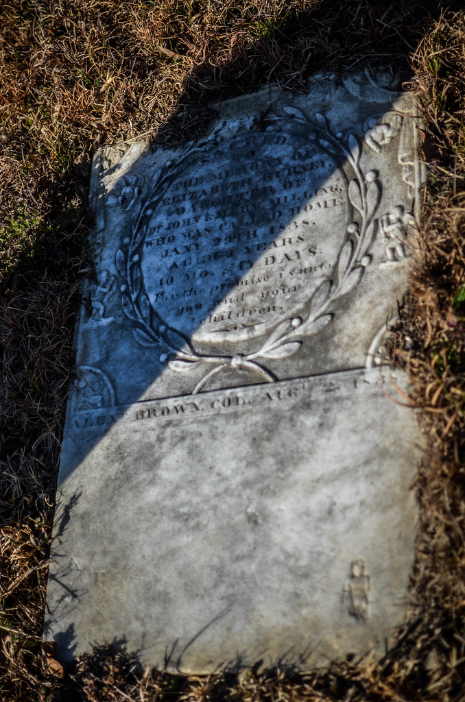
Old Lebanon Presbyterian Church and Cemetery-073

Jenkinsville School and Teacherage-027
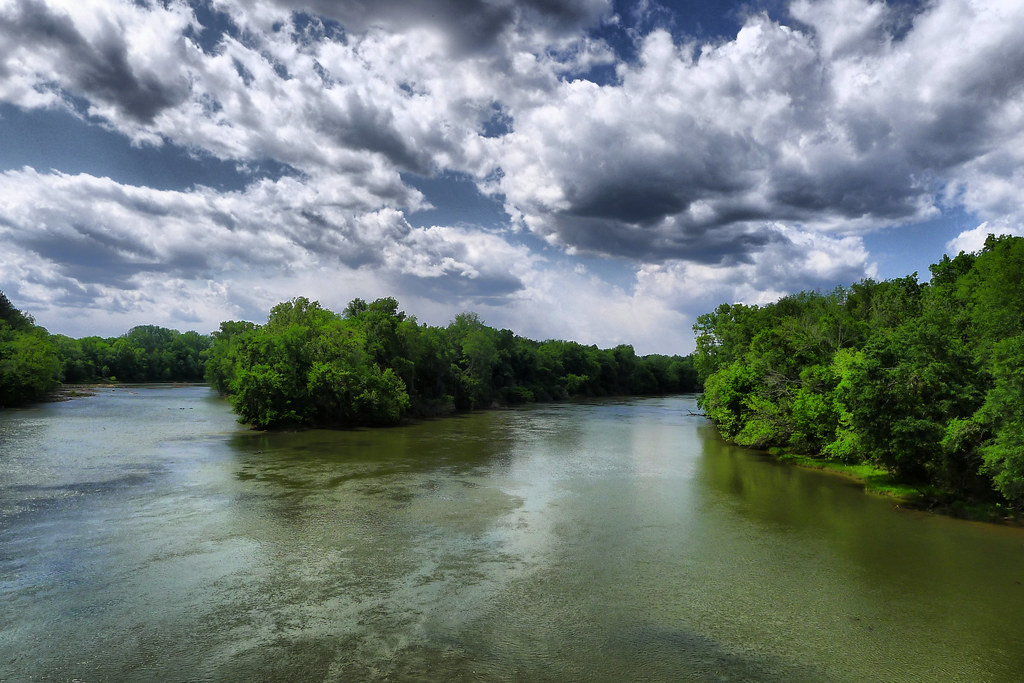
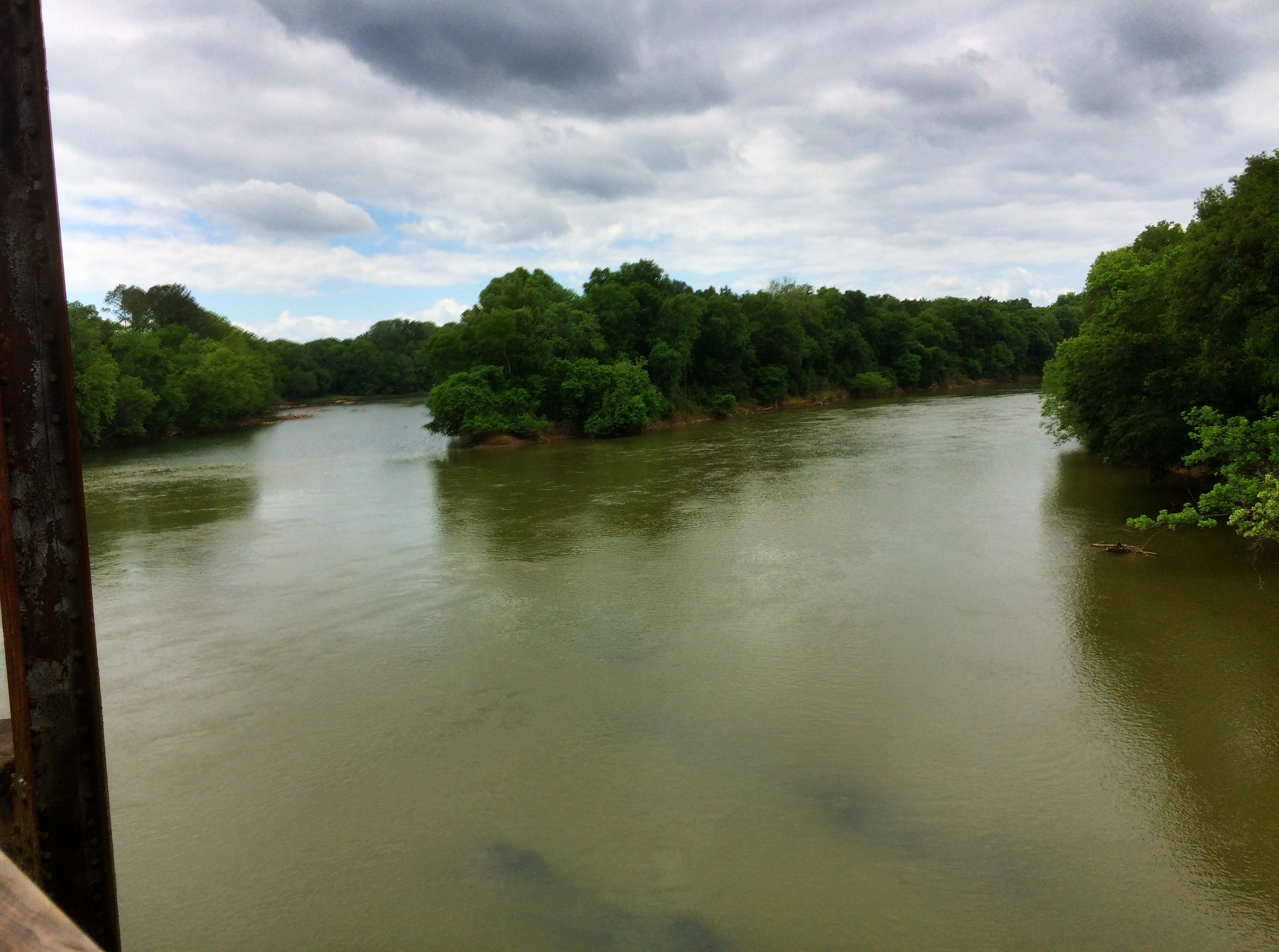
Broad River 3
winnsboro-14
Palmetto Trail 151

Jenkinsville School and Teacherage-021
Old Lebanon Presbyterian Church and Cemetery-048

Broad River 1

Enoree River

Old Lebanon Presbyterian Church and Cemetery-059
Strother's Landing
Rounding the Bend onto Cannon Creek
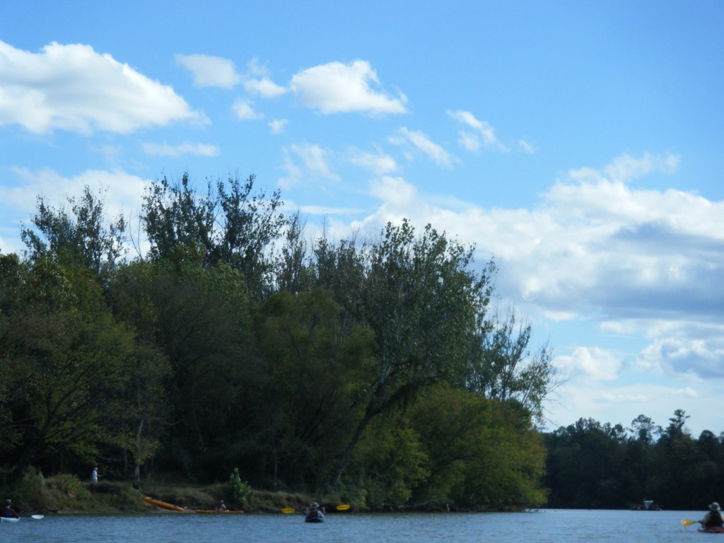
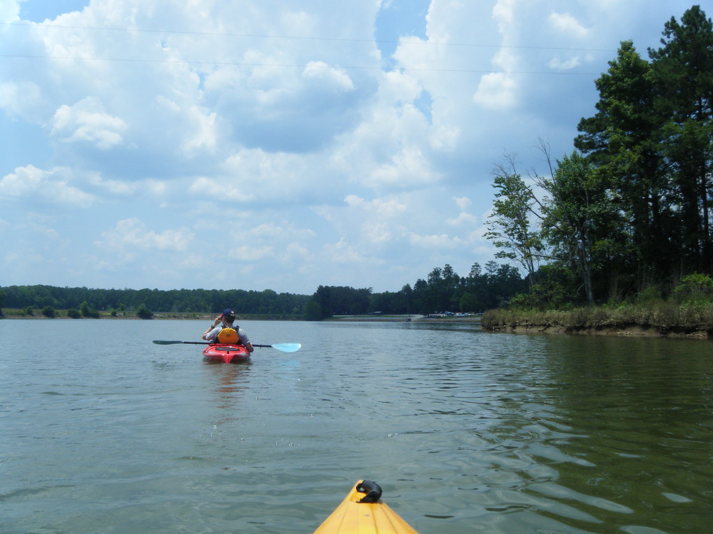
Paddling on the Broad River
Topographic Map of State Hwy S, Jenkinsville, SC, USA
Find elevation by address:

Places near State Hwy S, Jenkinsville, SC, USA:
Dave Cole Rd, Blair, SC, USA
Jenkinsville
State Rd S-20-18, Blair, SC, USA
Ft S Dirt Rd At Broad Ri, Winnsboro, SC, USA
1521 Leitzsey Rd
Blair
110 George Addy Rd
Pomaria
6850 Sc-269
Broad River Rd, Chapin, SC, USA
1120 State Rd S-40-2480
221 Old Shealy Rd
Portrait Hill Drive
Harvestwood Lane
265 Crow Ln
265 Crow Ln
265 Crow Ln
265 Crow Ln
265 Crow Ln
265 Crow Ln
Recent Searches:
- Elevation of Corso Fratelli Cairoli, 35, Macerata MC, Italy
- Elevation of Tallevast Rd, Sarasota, FL, USA
- Elevation of 4th St E, Sonoma, CA, USA
- Elevation of Black Hollow Rd, Pennsdale, PA, USA
- Elevation of Oakland Ave, Williamsport, PA, USA
- Elevation of Pedrógão Grande, Portugal
- Elevation of Klee Dr, Martinsburg, WV, USA
- Elevation of Via Roma, Pieranica CR, Italy
- Elevation of Tavkvetili Mountain, Georgia
- Elevation of Hartfords Bluff Cir, Mt Pleasant, SC, USA