Elevation of State Hwy CC, Broseley, MO, USA
Location: United States > Missouri > Butler County > Ash Hill Township > Broseley >
Longitude: -90.173817
Latitude: 36.6603775
Elevation: 97m / 318feet
Barometric Pressure: 100KPa
Elevation Map:
Satellite Map:
Related Photos:
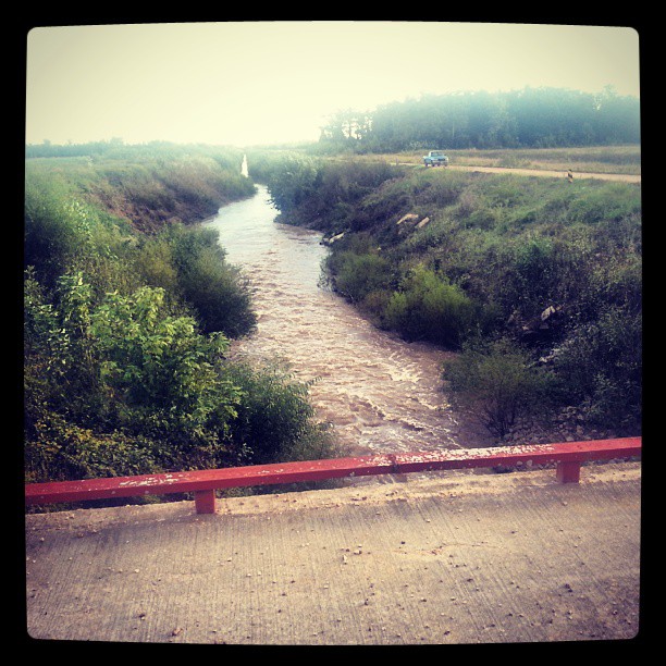
Though the river was wide... I didn't falter
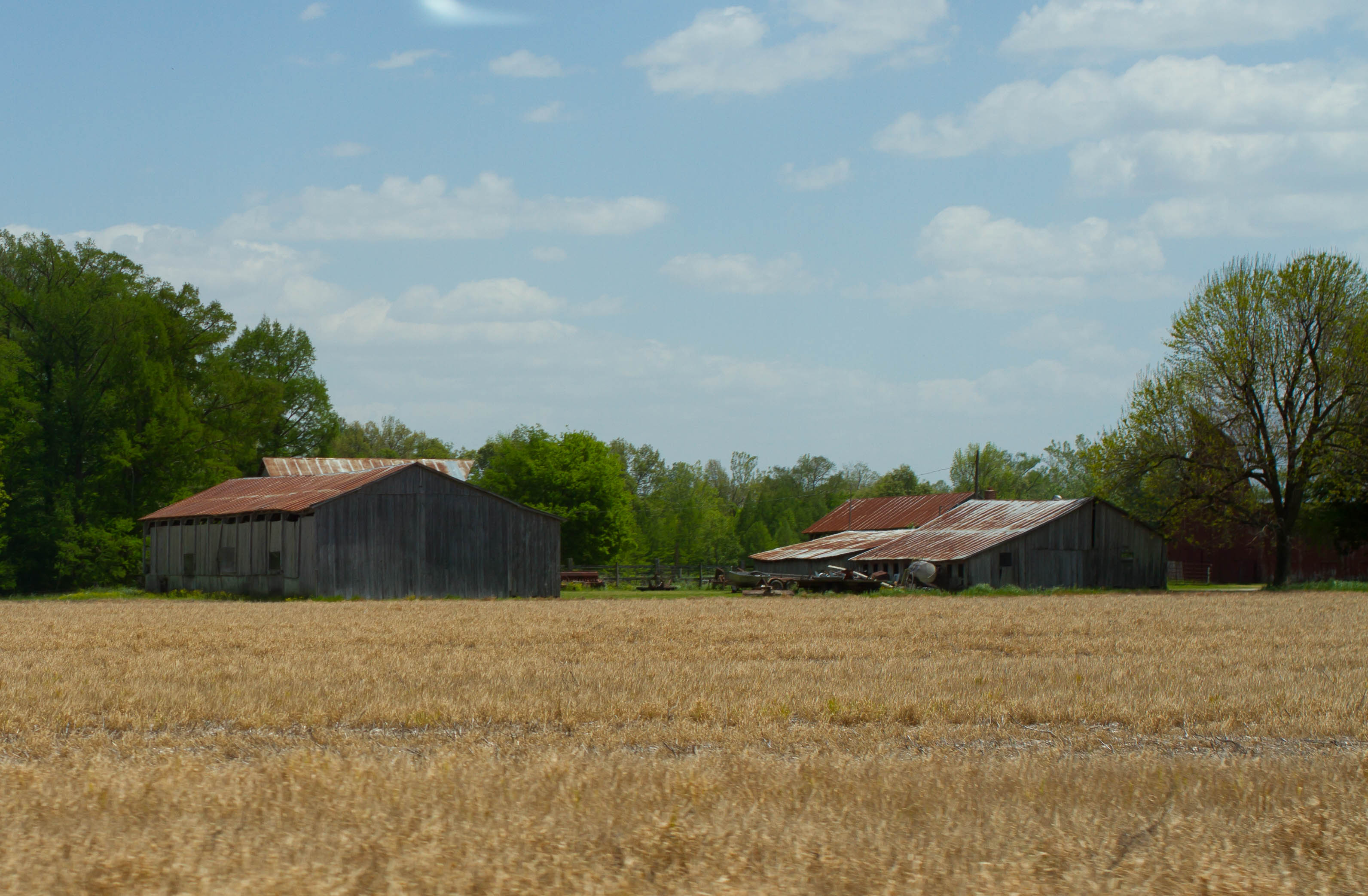
The old farm
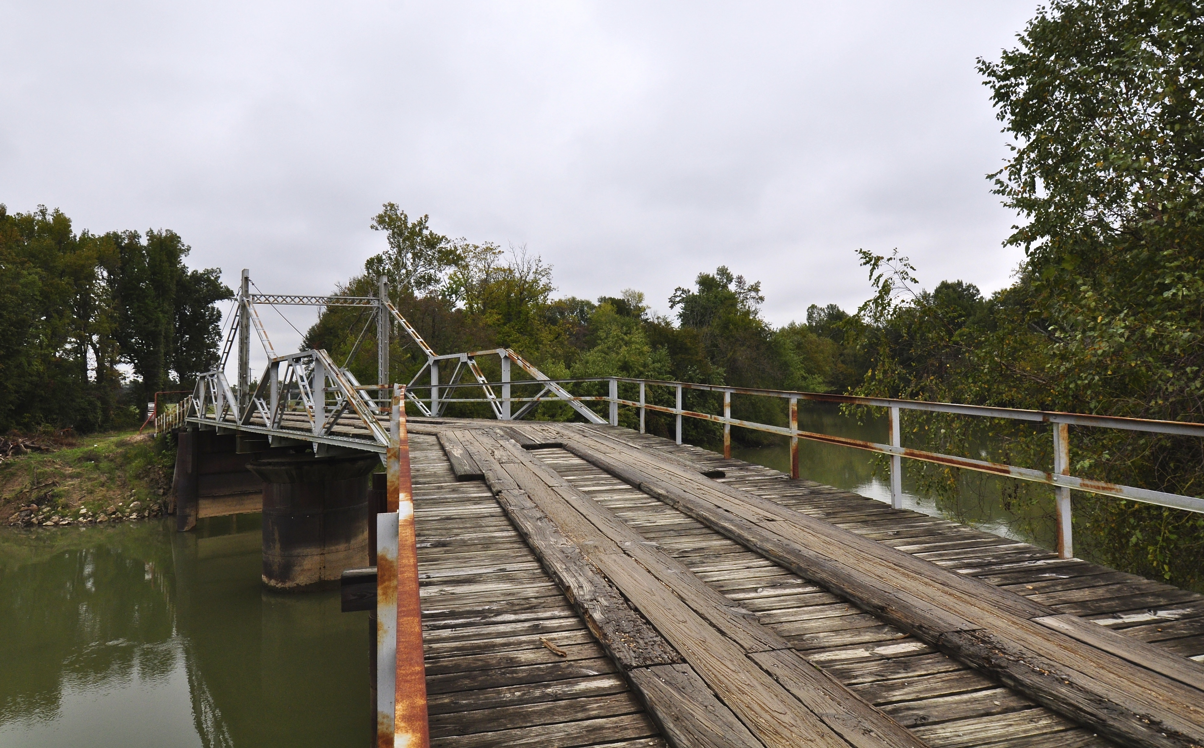
Hargrove Pivot Bridge
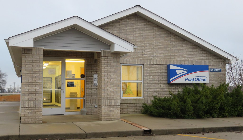
Post Office 63961 (Qulin, Missouri)
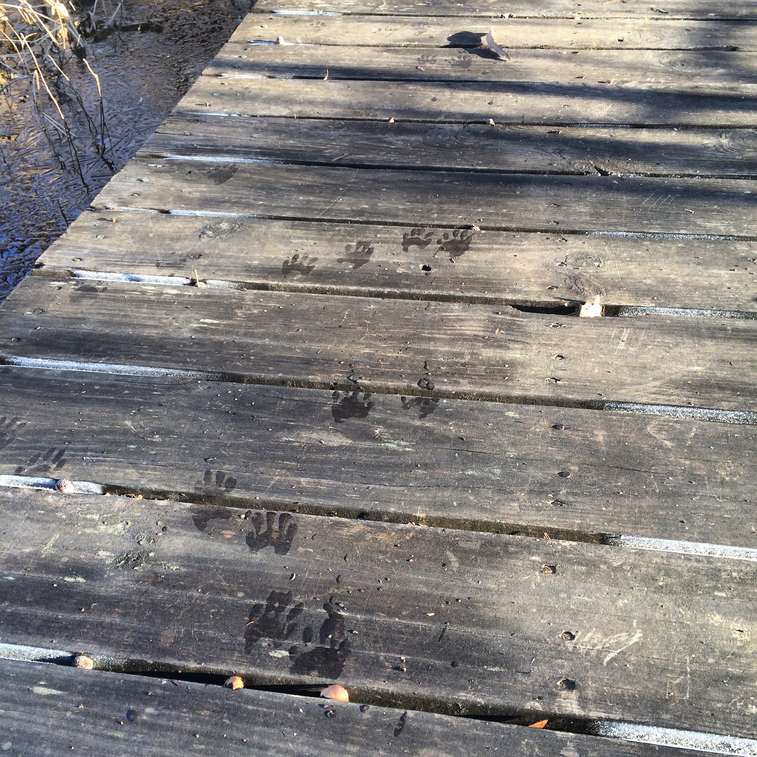
Frozen raccoon tracks
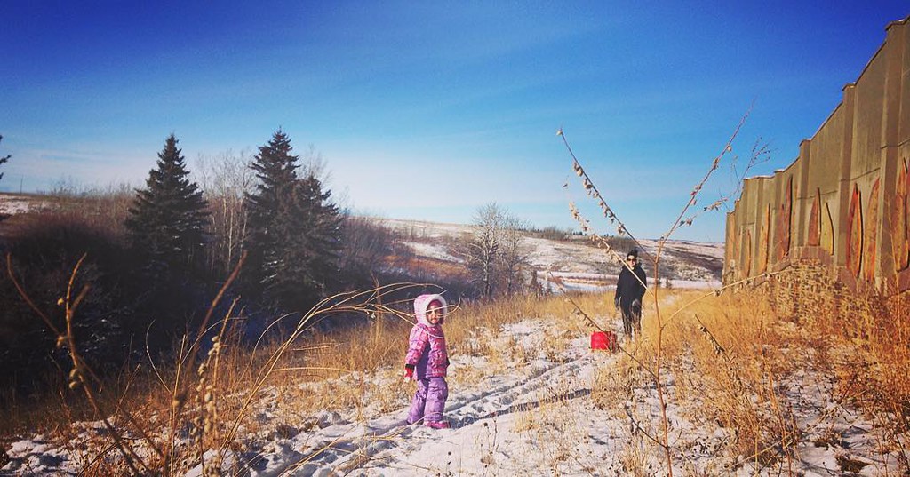
Got out for a winter walk today with Emily and my 3-year old niece, Lily. #winter #family #calgary #snow

Birthday lunch

Hike anyone???

Enjoying the ride!!!

Otter Slough

Otter Slough
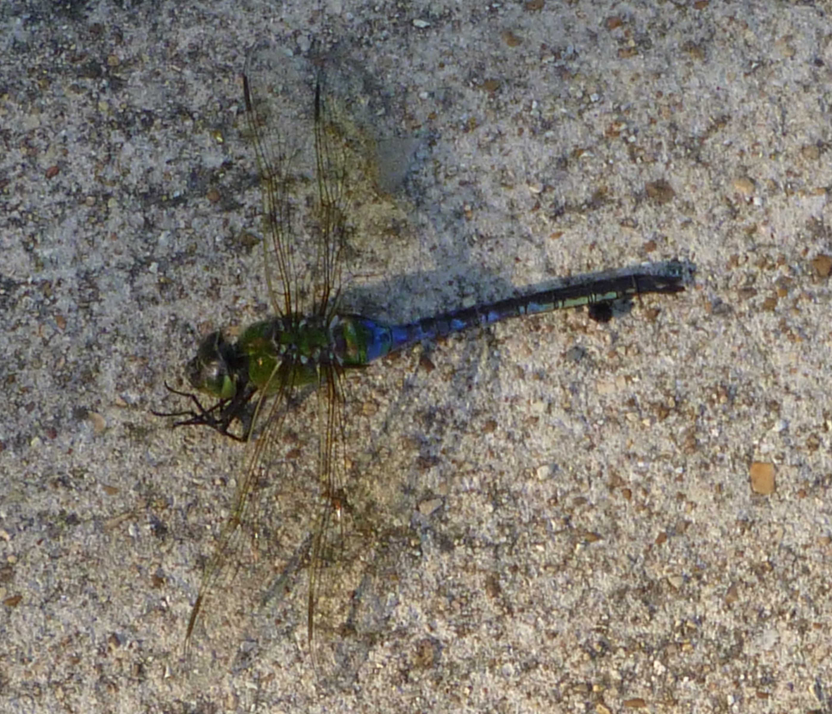
Common Green Darner
Green Darner

Two kinds of smartweed

Otter Slough
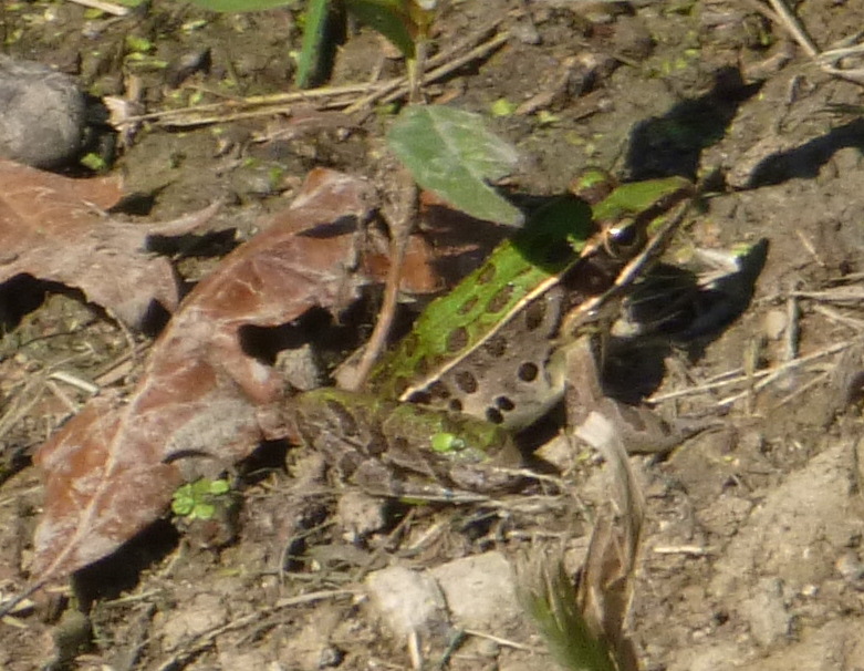
Southern Leopard Frog

Otter Slough

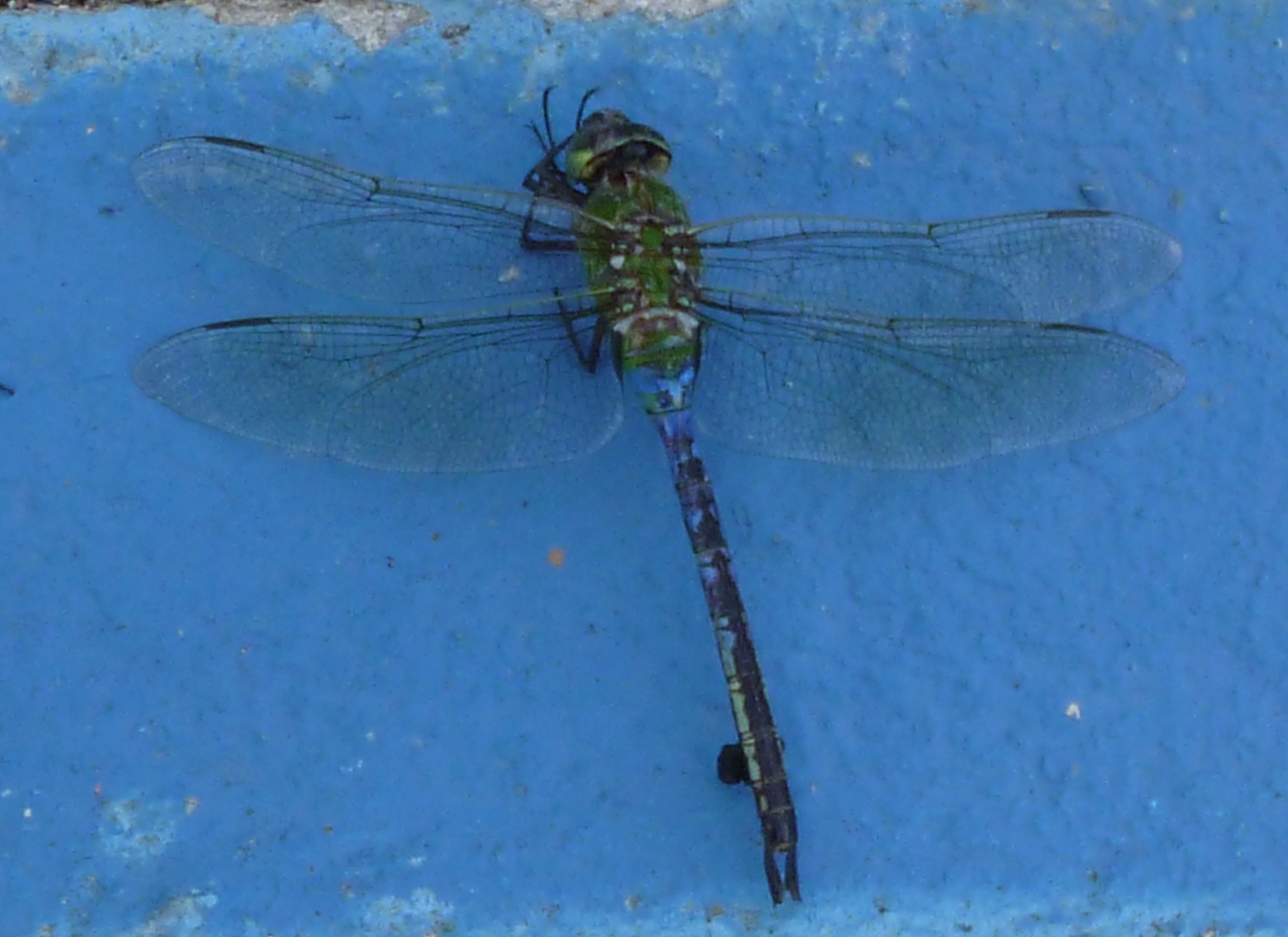
Blue-Faced Meadowhawk

Plasma Original
Entry Original
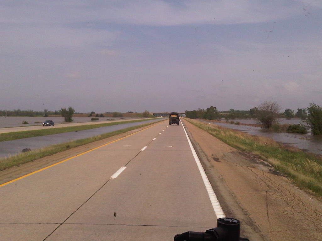
Water on both sides
Topographic Map of State Hwy CC, Broseley, MO, USA
Find elevation by address:

Places near State Hwy CC, Broseley, MO, USA:
4932 State Hwy Cc
Broseley
Ash Hill Township
Powe
1133 Co Rd 631
1133 Co Rd 631
1133 Co Rd 631
1001 Co Rd 631
1001 Co Rd 631
State Hwy U, Bernie, MO, USA
212 Garfield St
212 Garfield St
Fisk
Mc Kinley Ave, Fisk, MO, USA
Dudley
Center St, Dudley, MO, USA
State Hwy B, Broseley, MO, USA
14786 Co Rd 624
State Highway Ww
Butler County
Recent Searches:
- Elevation of Corso Fratelli Cairoli, 35, Macerata MC, Italy
- Elevation of Tallevast Rd, Sarasota, FL, USA
- Elevation of 4th St E, Sonoma, CA, USA
- Elevation of Black Hollow Rd, Pennsdale, PA, USA
- Elevation of Oakland Ave, Williamsport, PA, USA
- Elevation of Pedrógão Grande, Portugal
- Elevation of Klee Dr, Martinsburg, WV, USA
- Elevation of Via Roma, Pieranica CR, Italy
- Elevation of Tavkvetili Mountain, Georgia
- Elevation of Hartfords Bluff Cir, Mt Pleasant, SC, USA