Elevation of Starview, PA, USA
Location: United States > Pennsylvania > York County > East Manchester Township > Mount Wolf >
Longitude: -76.6883
Latitude: 40.0484296
Elevation: 177m / 581feet
Barometric Pressure: 99KPa
Elevation Map:
Satellite Map:
Related Photos:

Best view in town

Three Mile Island

All in stride...

The Heart of Tulip Time

Another Susquehanna Sunset

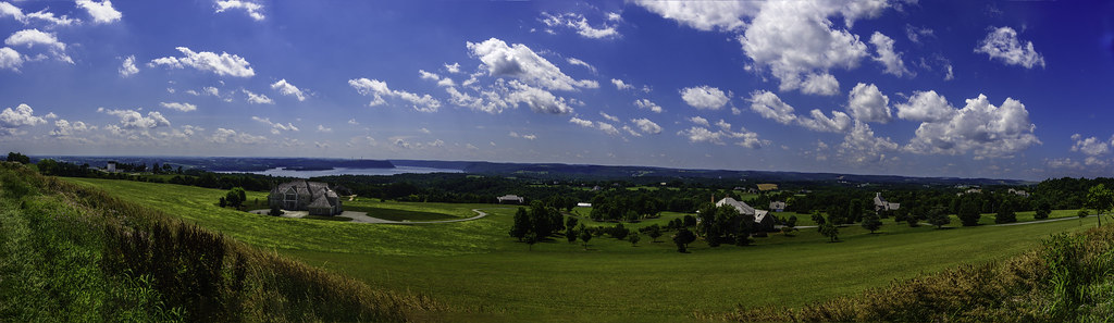
Pennsylanian Big Sky

Hoots & Hellmouth - Cap Live - Explored (11-25-12)

Are you enjoying the View?

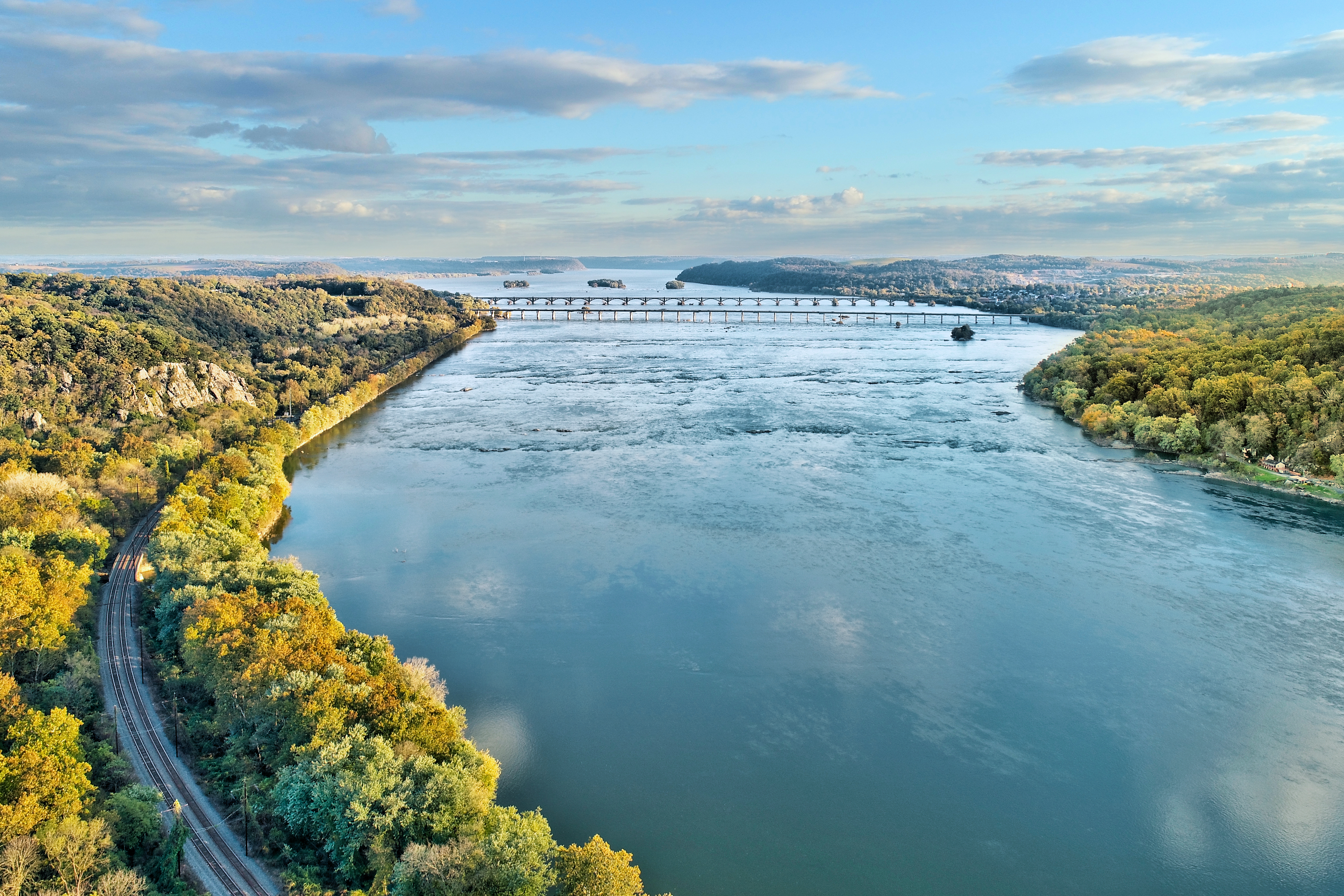
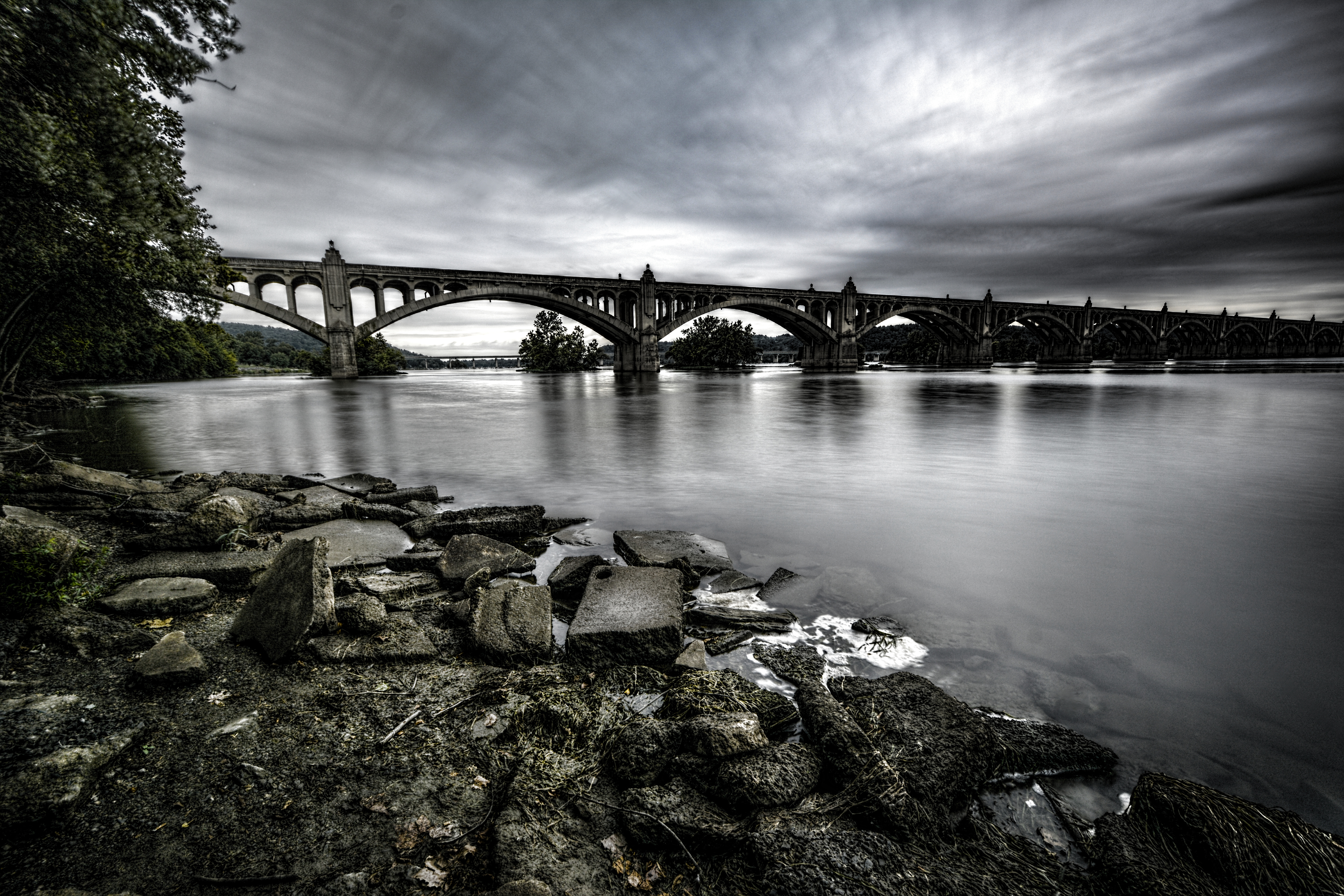
Columbia–Wrightsville Bridge

The Year Of The Ox
Chiques Rock

View from The ride home

Darrenkamp's: Elizabethtown, PA

212.366
I GEOTAG EVERY PHOTO!
A Place By the Seaside

All Clear...
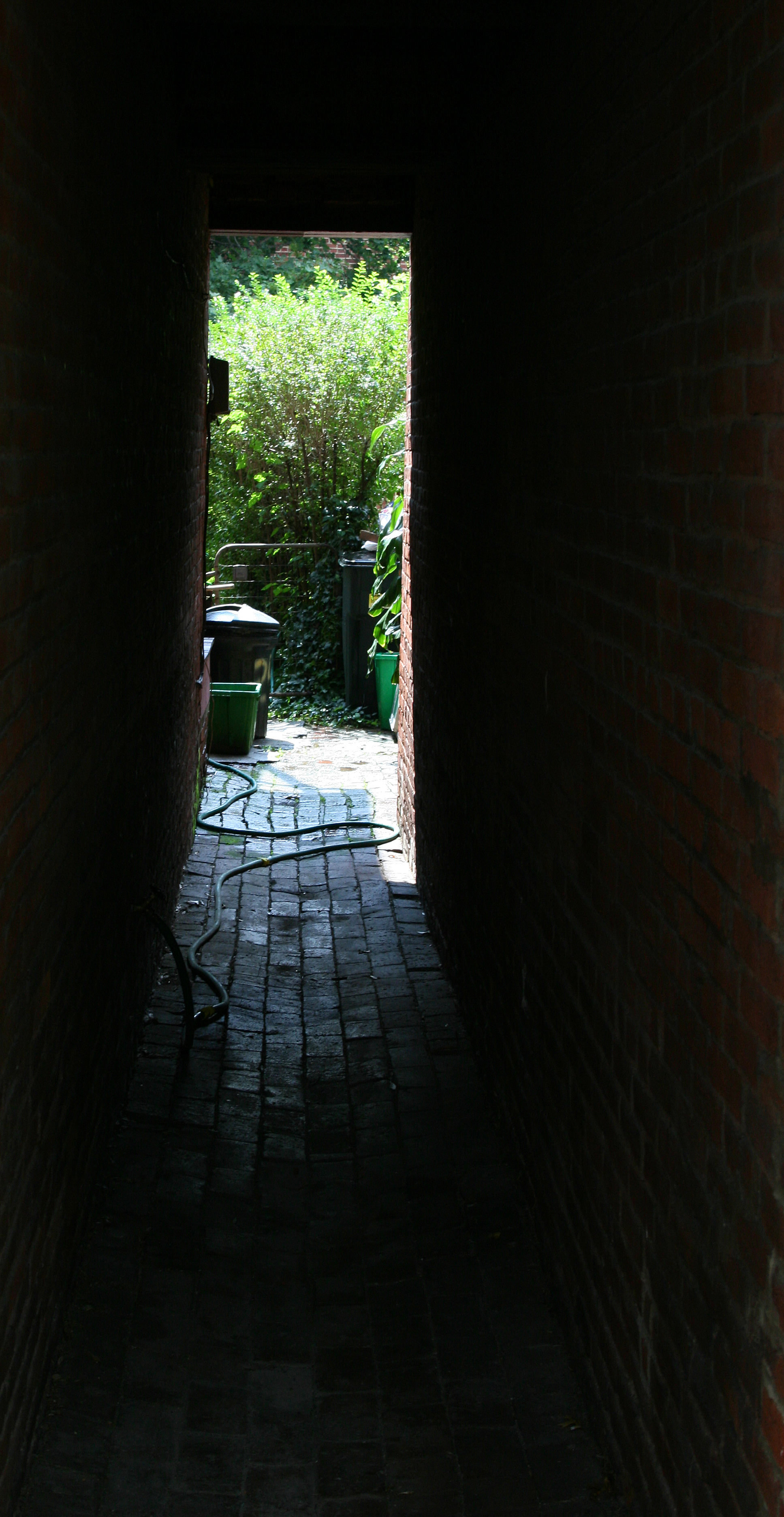
Backyard Passage

SIde View

Blue Skies and Reflection in Windows

Two Different Pictures- The View That Separates

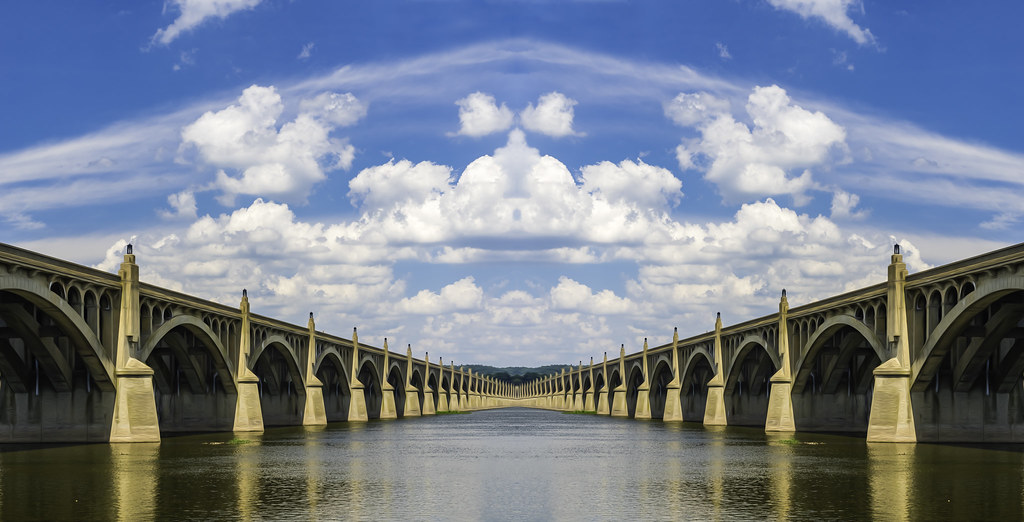
Wrightsville Bridge
Winter Creek
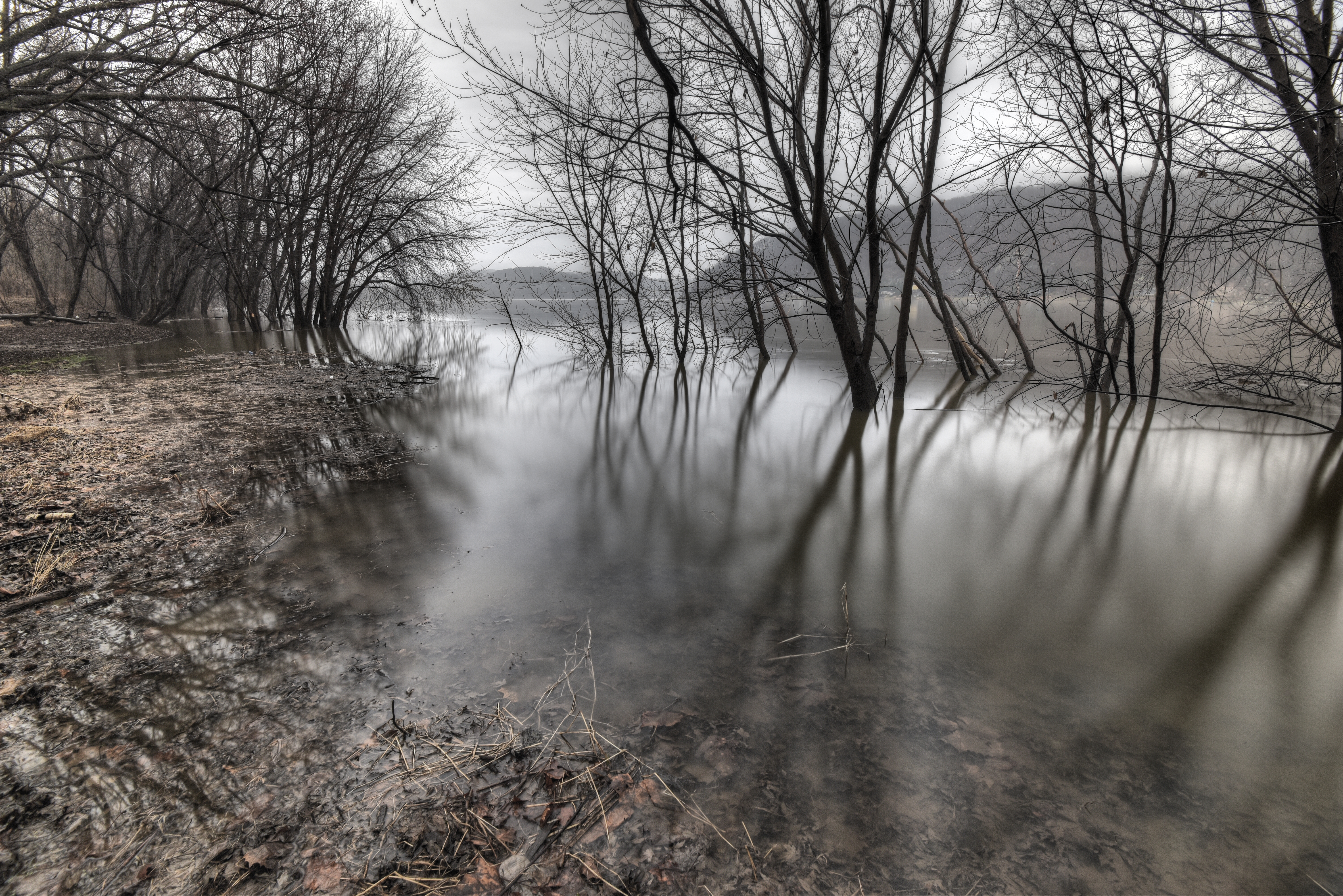
River Moods
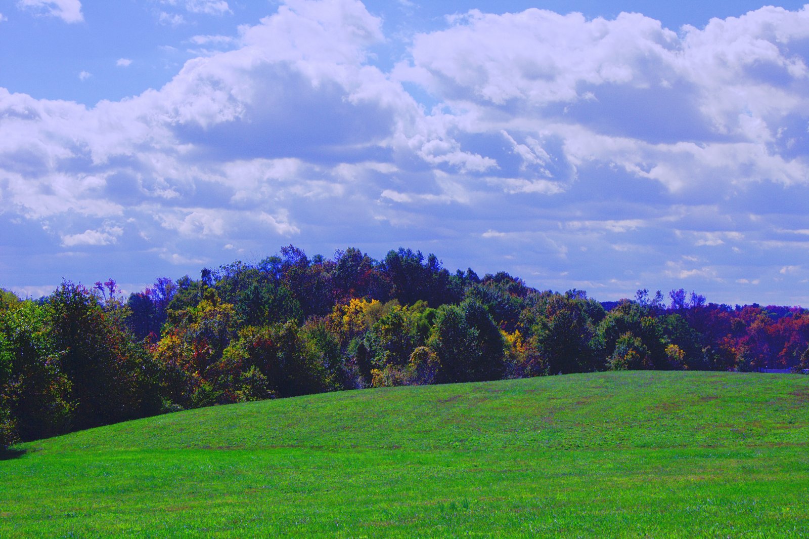
Cloudy Afternoon

Morning Tree

First Snow

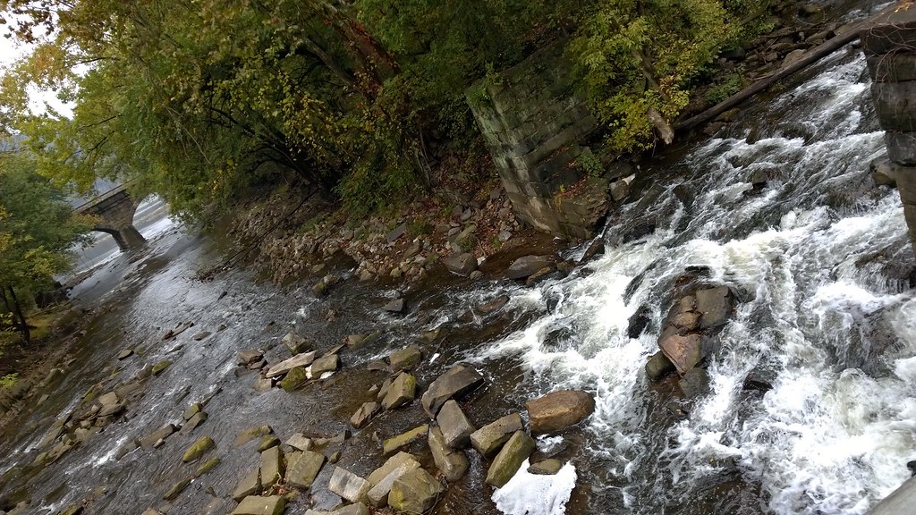
Autumn Stream

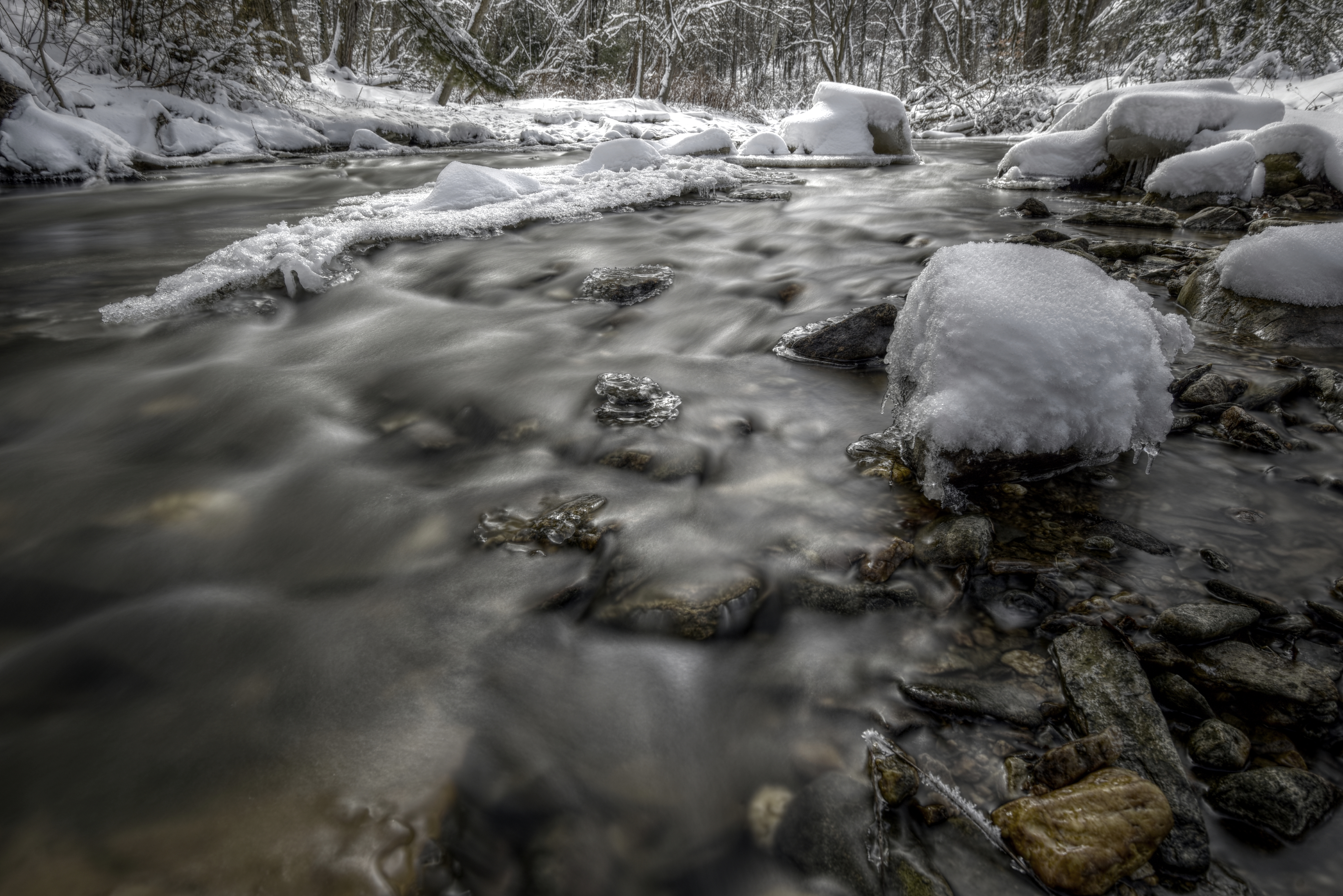
Winter River
Betwixt & Between
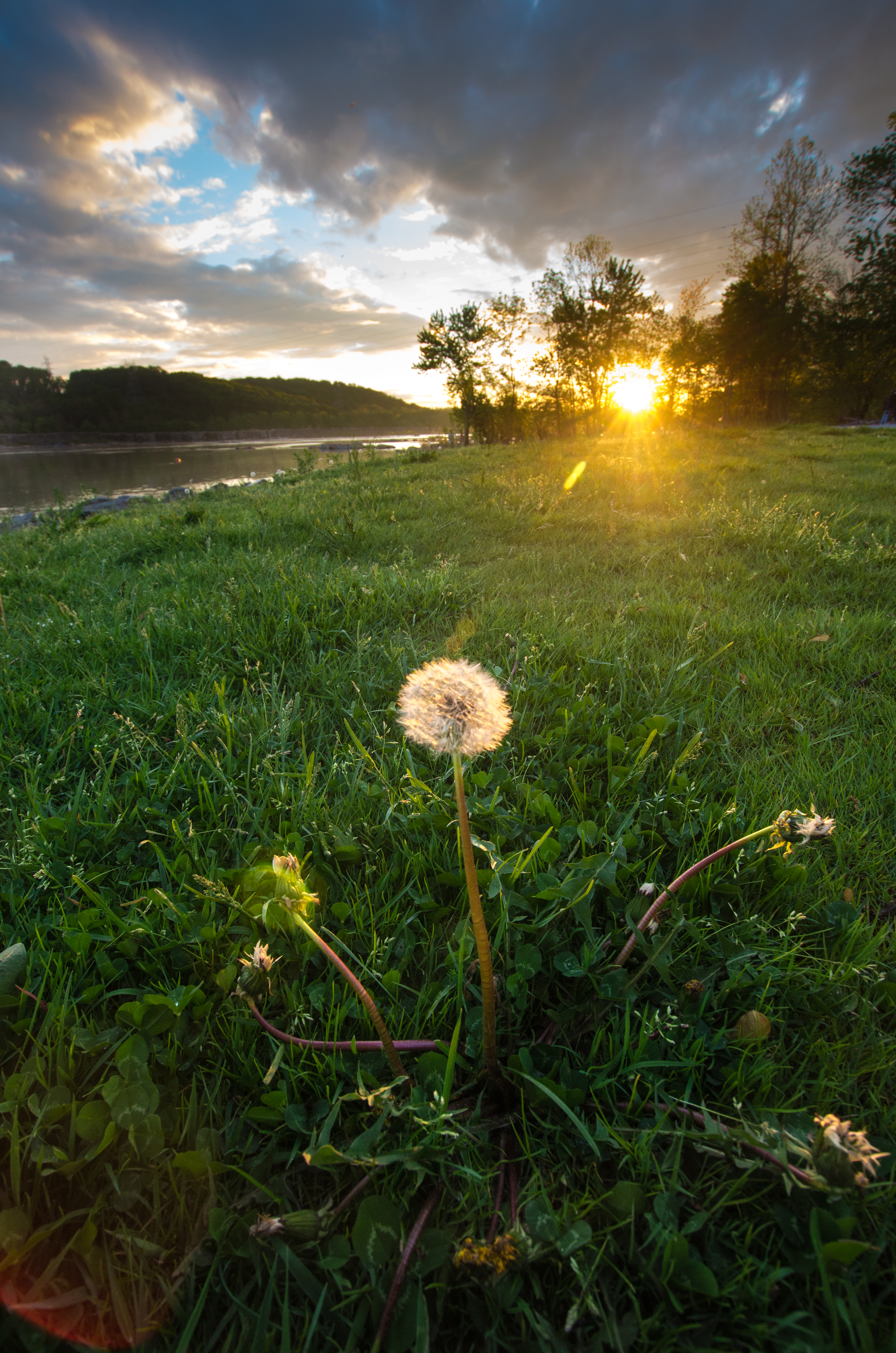
Sunset On The Susquehanna
Bair's Mill
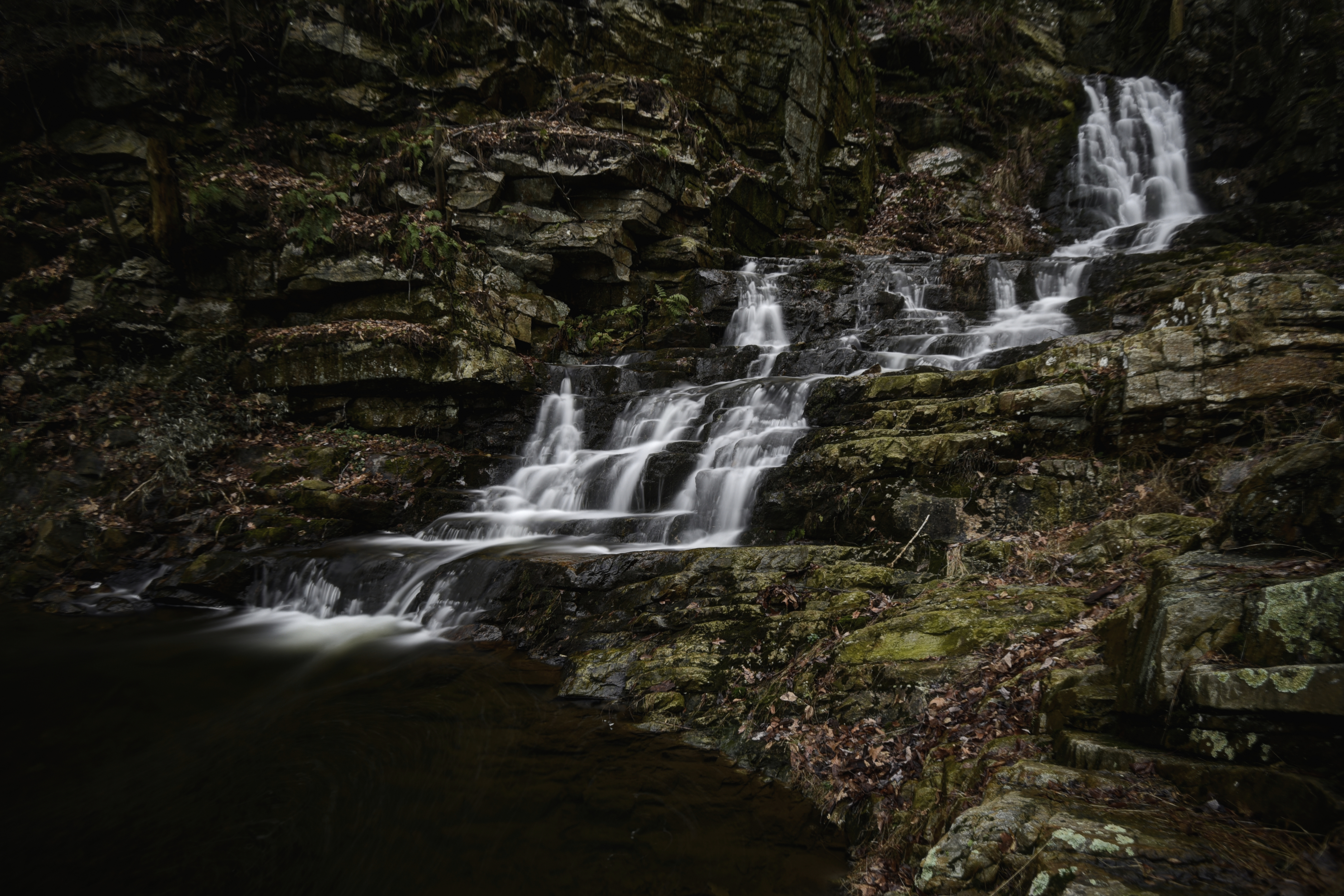
Little Falls
Morninng Tree
Susquehanna overlook

Sunset On The Susquehanna #2
Wildcat Gorge
Welcome Back
scape2.jpg

Emerald city...

Those clouds though....
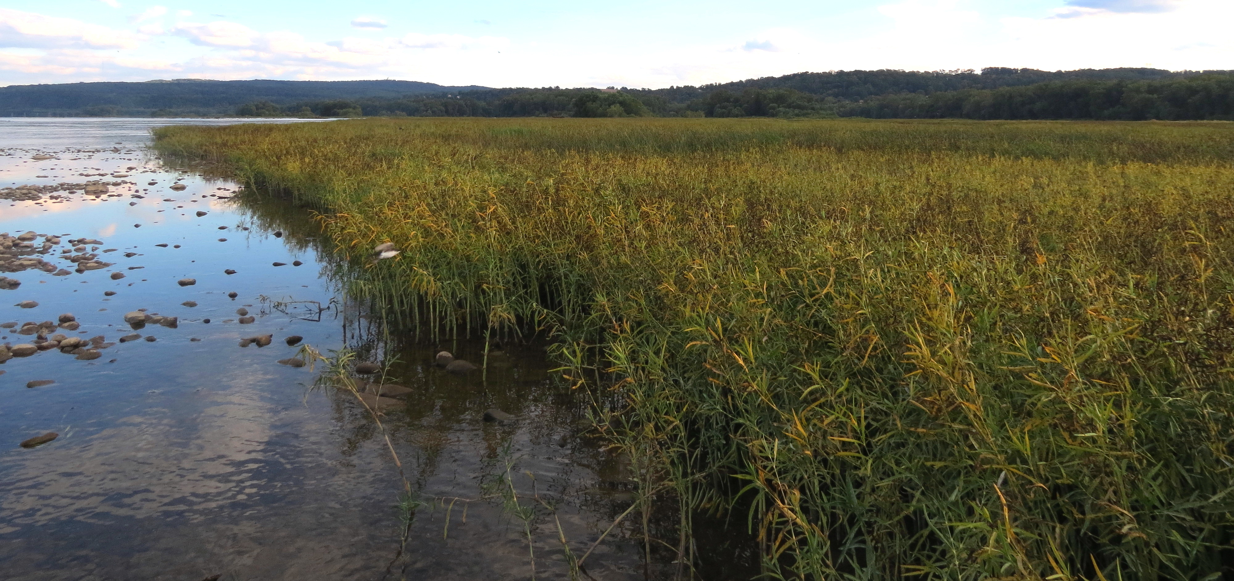
Chickie's Creek
Topographic Map of Starview, PA, USA
Find elevation by address:

Places near Starview, PA, USA:
East Manchester Township
Mount Wolf
208 S 4th St
Manchester
1136 Fawn Ct
235 Riverview Dr
10 Doersam Ct
2880 Black Bridge Rd
Rocky Ridge Park
3000 Espresso Way
Barwood Rd, York, PA, USA
2800 Black Bridge Rd
Springettsbury Township
2296 Pleasant View Dr
625 Willow Springs Ln
Emigsville
2870 Haymeadow Dr
955 Pa-921
955 Pa-921
3623 Hope Ln
Recent Searches:
- Elevation of Corso Fratelli Cairoli, 35, Macerata MC, Italy
- Elevation of Tallevast Rd, Sarasota, FL, USA
- Elevation of 4th St E, Sonoma, CA, USA
- Elevation of Black Hollow Rd, Pennsdale, PA, USA
- Elevation of Oakland Ave, Williamsport, PA, USA
- Elevation of Pedrógão Grande, Portugal
- Elevation of Klee Dr, Martinsburg, WV, USA
- Elevation of Via Roma, Pieranica CR, Italy
- Elevation of Tavkvetili Mountain, Georgia
- Elevation of Hartfords Bluff Cir, Mt Pleasant, SC, USA