Elevation of Staré Sedlo, 65 Stádlec, Czech Republic
Location: Czech Republic > South Bohemian Region > Tábor District > Stádlec >
Longitude: 14.4701656
Latitude: 49.3659139
Elevation: 450m / 1476feet
Barometric Pressure: 96KPa
Elevation Map:
Satellite Map:
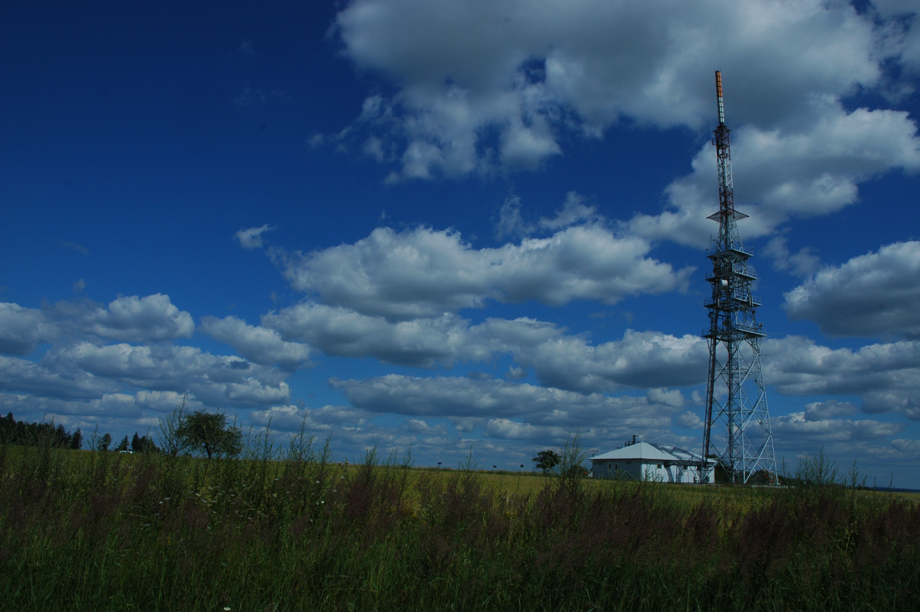
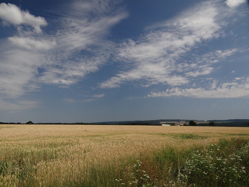
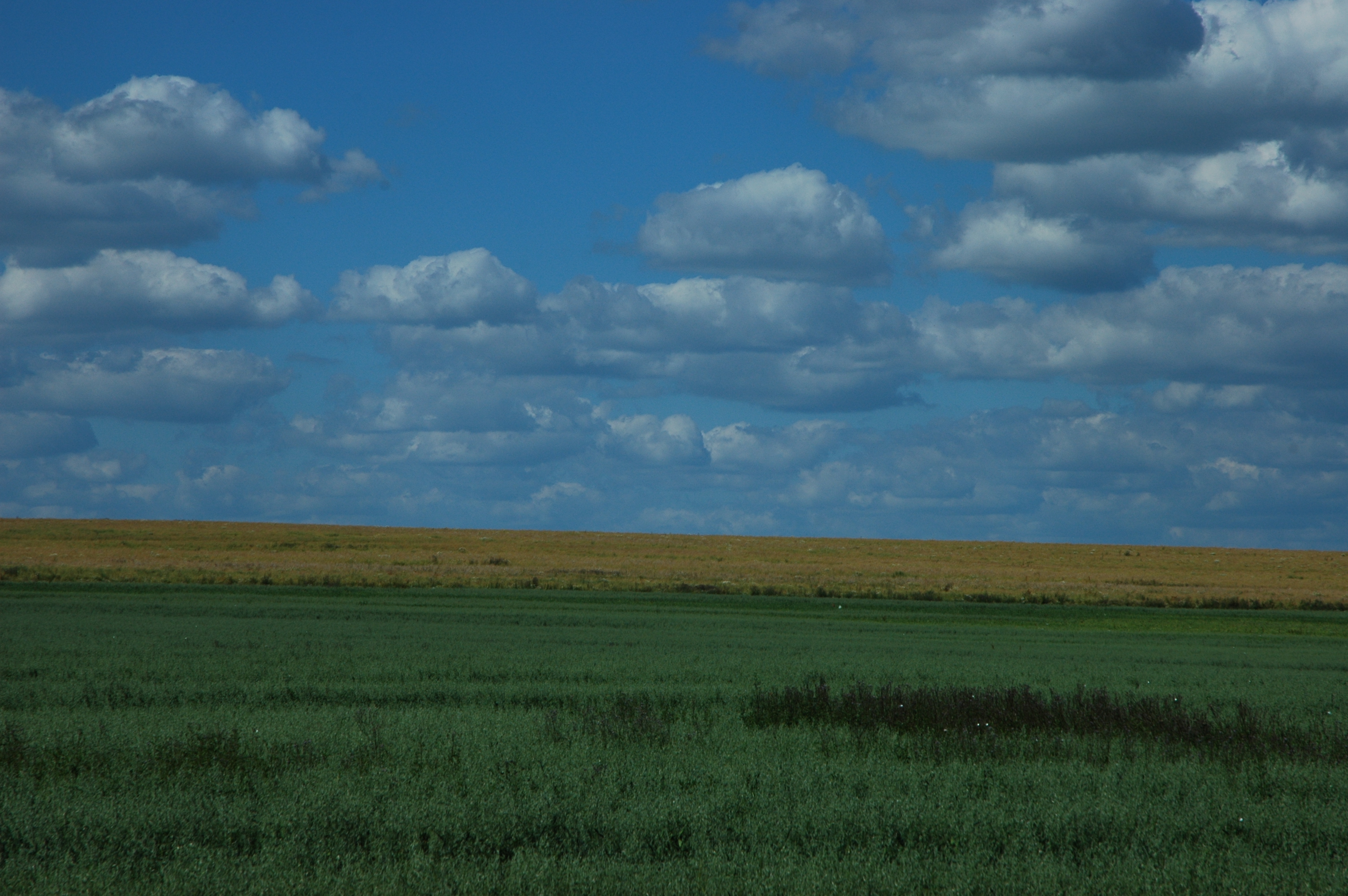
Related Photos:
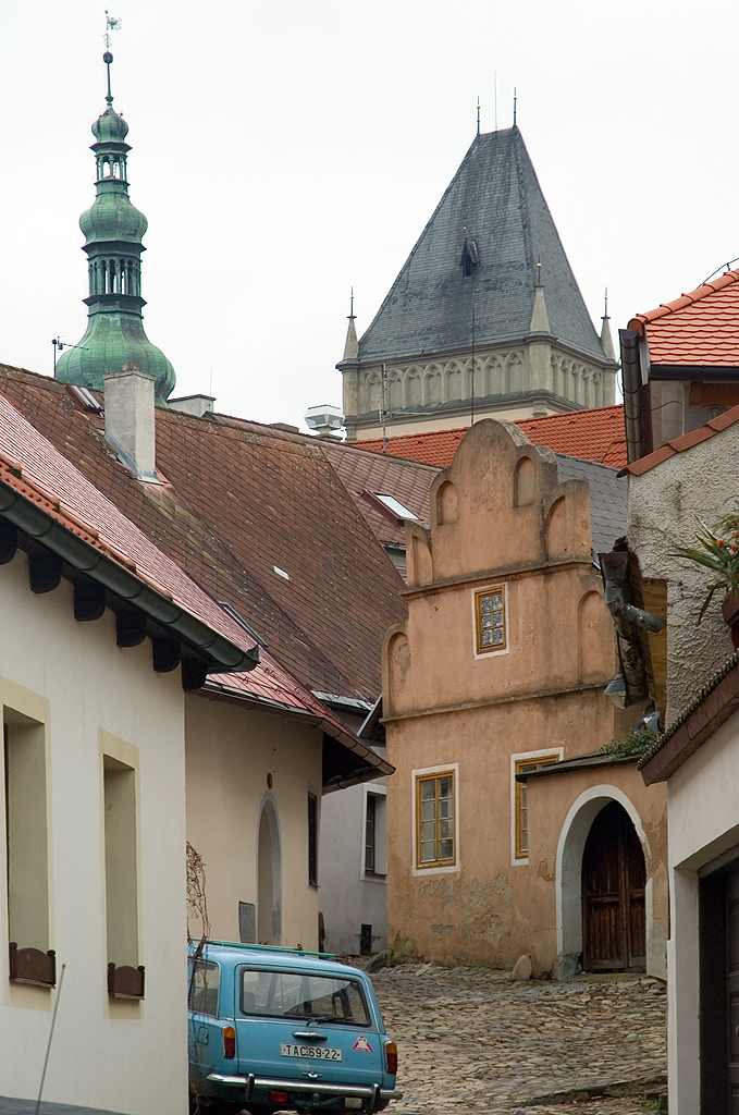
Tabor, Czech Republic 1976-2013

Tábor

Josef Jindřich Šechtl: Meeting of farmers at the Grand Hotel, Tábor 1948–1954
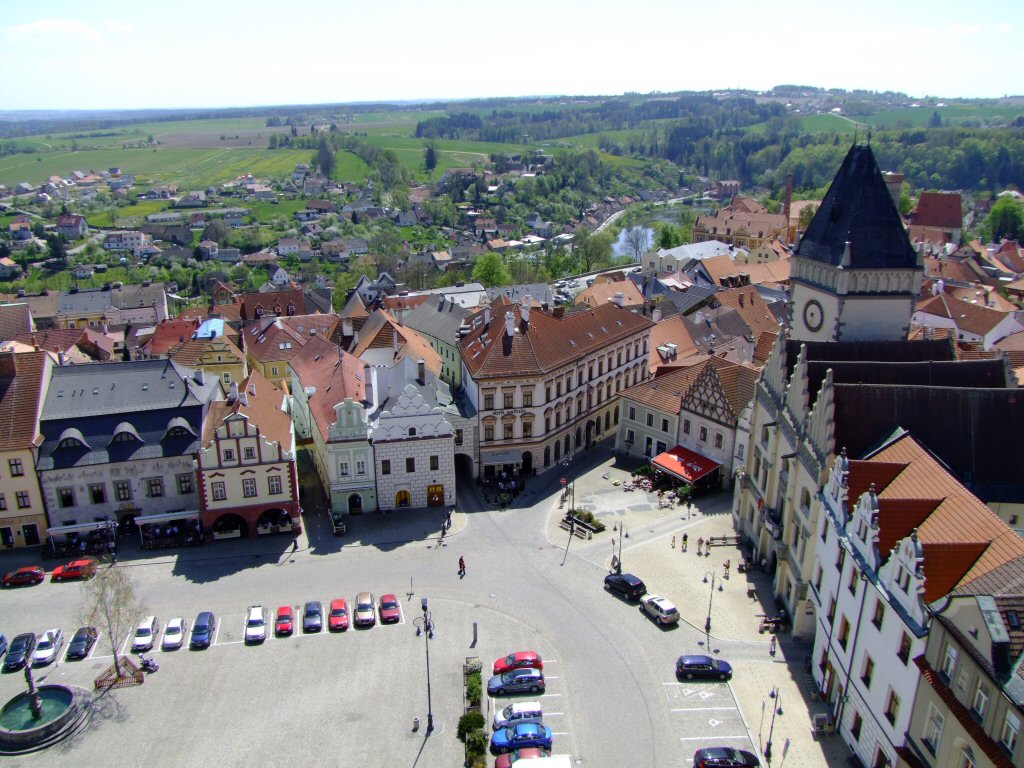
Tabor, Southern Bohemia

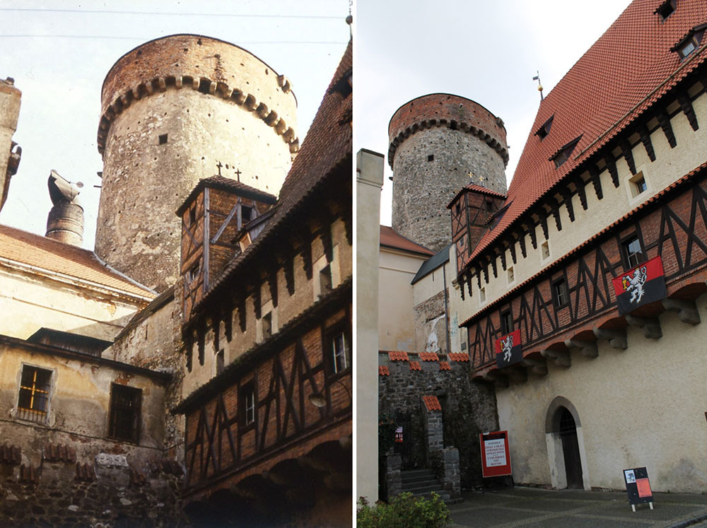
Tábor
Tábor

Going down / Descendre...
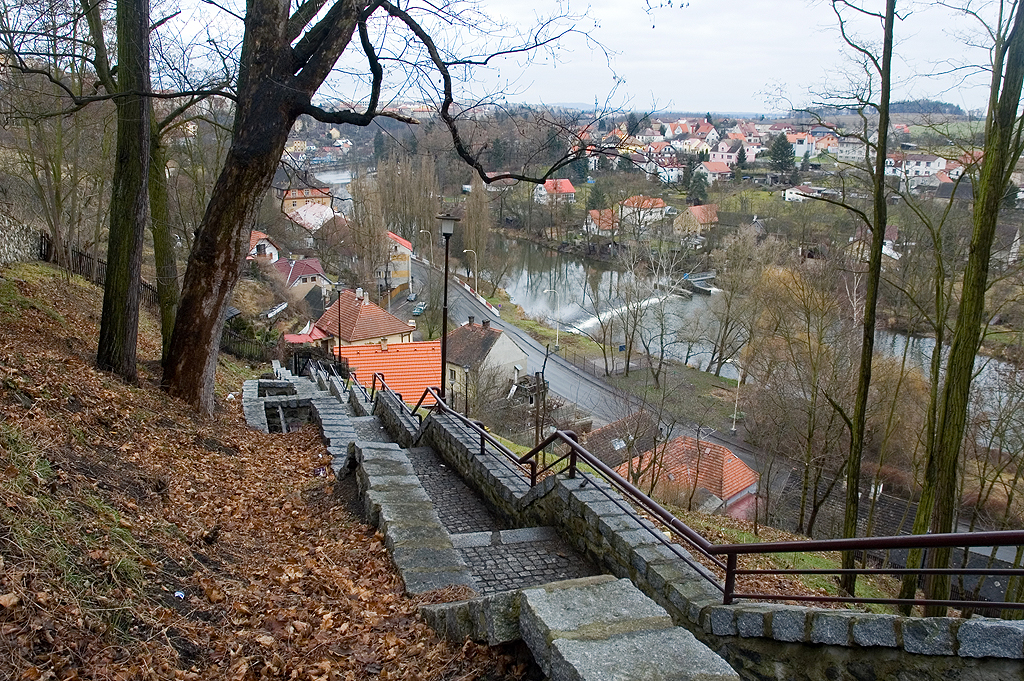
View from Kotnov to Lužnice river
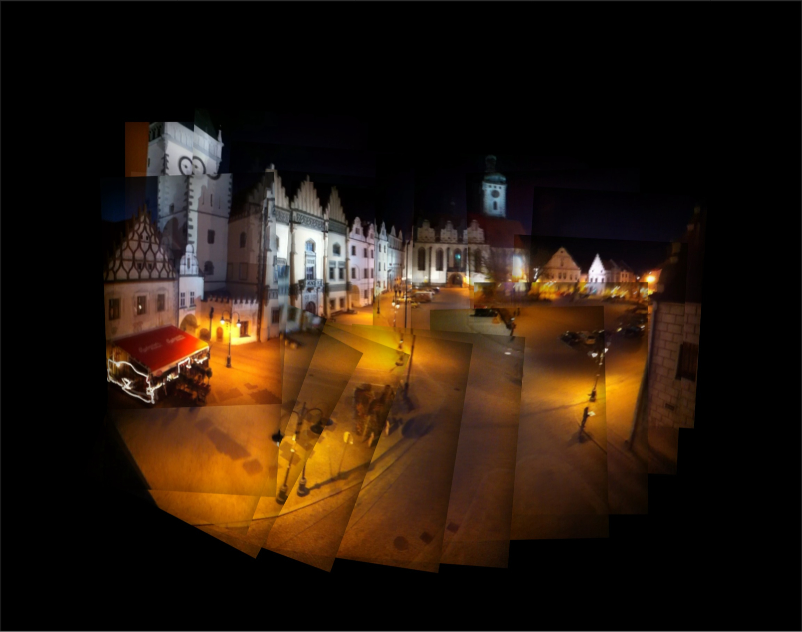
Tabor's Old Town
DSC_9526.JPG
Písek - Ceské Budejovice

Bechyňská duha
DSC_9528.JPG
Písek - Ceské Budejovice
Písek - Ceské Budejovice
Údraž
Písek - Ceské Budejovice
Písek - Ceské Budejovice

Milevsko (PI), čp. 570, parc. st. 534
Písek - Ceské Budejovice
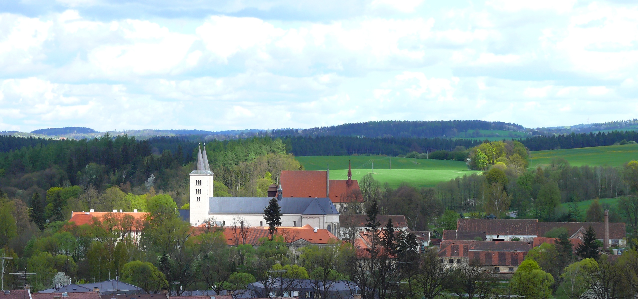
Tábor
DSC_9525.JPG
Milevsko (okres Písek), areál kláštera
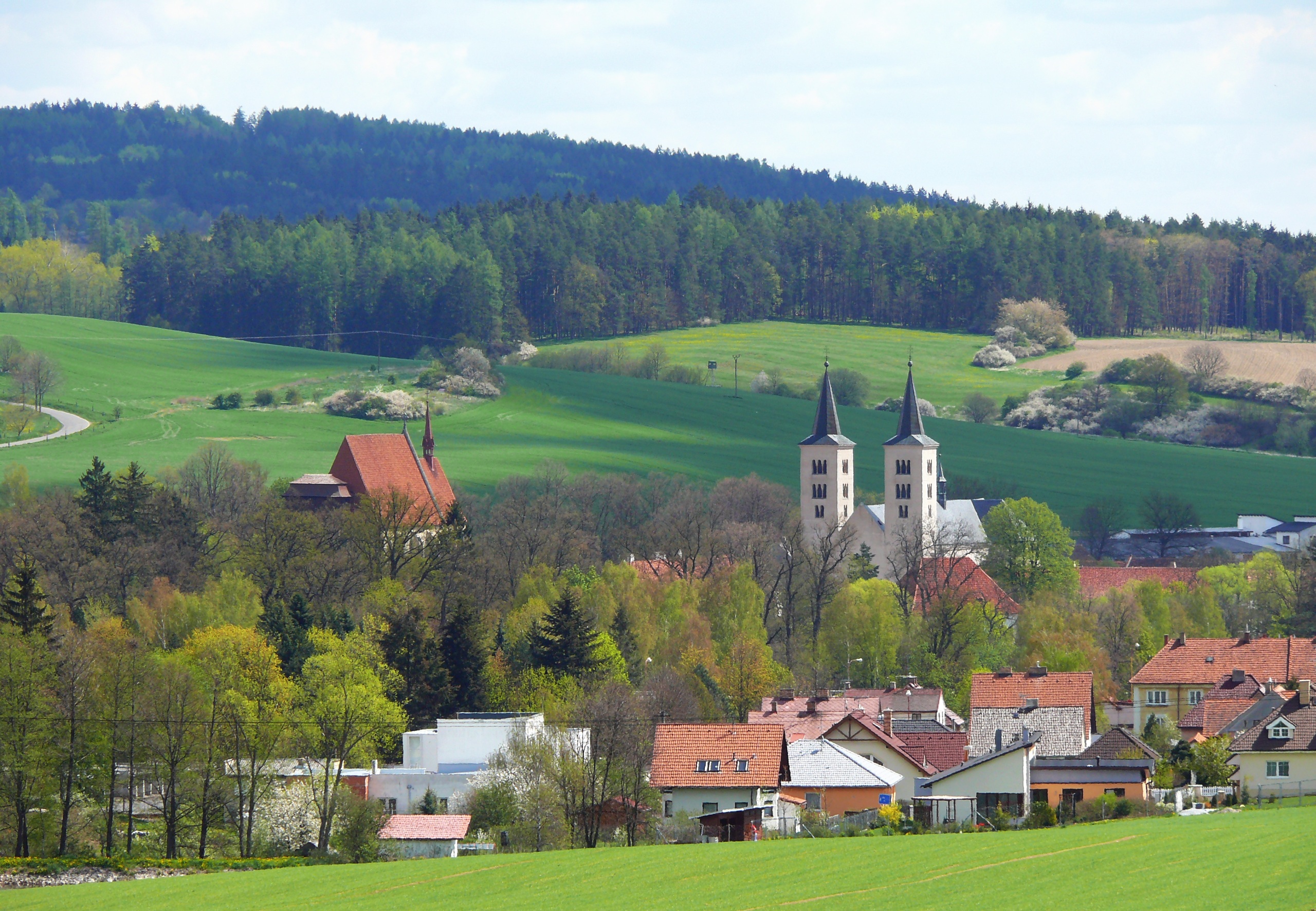
Milevsko (okres Písek), areál kláštera
Topographic Map of Staré Sedlo, 65 Stádlec, Czech Republic
Find elevation by address:

Places in Staré Sedlo, 65 Stádlec, Czech Republic:
Places near Staré Sedlo, 65 Stádlec, Czech Republic:
Staré Sedlo 6, 65 Stádlec, Czech Republic
Stádlec
Ráb
Ráb 3, 43 Bernartice, Czech Republic
Bernartice
Příběnická 85, 75 Malšice, Czech Republic
Malšice
Jistebnice
Nadějkov
Větrov
Týn Nad Vltavou
Větrov 5, 01 Nadějkov, Czech Republic
Malá Strana
Žižkova, Malá Strana, 01 Týn nad Vltavou, Czech Republic
Kořensko 11, Neznašov, 02 Všemyslice, Czech Republic
Neznašov
Lužnické údolí 38, Klokoty, 01 Tábor, Czech Republic
Smrkov, 33 Jistebnice, Czech Republic
Smrkov
Pikov 16, 33 Borotín, Czech Republic
Recent Searches:
- Elevation of Corso Fratelli Cairoli, 35, Macerata MC, Italy
- Elevation of Tallevast Rd, Sarasota, FL, USA
- Elevation of 4th St E, Sonoma, CA, USA
- Elevation of Black Hollow Rd, Pennsdale, PA, USA
- Elevation of Oakland Ave, Williamsport, PA, USA
- Elevation of Pedrógão Grande, Portugal
- Elevation of Klee Dr, Martinsburg, WV, USA
- Elevation of Via Roma, Pieranica CR, Italy
- Elevation of Tavkvetili Mountain, Georgia
- Elevation of Hartfords Bluff Cir, Mt Pleasant, SC, USA