Elevation of Stanley, LA, USA
Location: United States > Louisiana > De Soto Parish > 1c >
Longitude: -93.897965
Latitude: 31.9609999
Elevation: 95m / 312feet
Barometric Pressure: 100KPa
Elevation Map:
Satellite Map:
Related Photos:
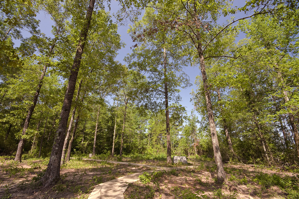
Moses Rose Site
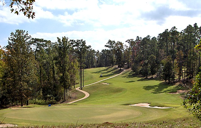
Cypress Bend
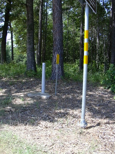
US-RT International Boundary 021
Topographic Map of Stanley, LA, USA
Find elevation by address:

Places in Stanley, LA, USA:
Places near Stanley, LA, USA:
US-84, Stanley, LA, USA
1c
Haslam Sawmill Rd, Joaquin, TX, USA
W Main St, Grand Cane, LA, USA
Joaquin
TX-7, Joaquin, TX, USA
US-, Mansfield, LA, USA
Speights Rd, Keatchie, LA, USA
Mansfield
267 Murphy Rd
De Soto Parish
7, LA, USA
South Stayton Street
Shelbyville
Converse
4 Forks Rd, Shreveport, LA, USA
FM, Tenaha, TX, USA
Shelby County
3, LA, USA
Pelican
Recent Searches:
- Elevation of Corso Fratelli Cairoli, 35, Macerata MC, Italy
- Elevation of Tallevast Rd, Sarasota, FL, USA
- Elevation of 4th St E, Sonoma, CA, USA
- Elevation of Black Hollow Rd, Pennsdale, PA, USA
- Elevation of Oakland Ave, Williamsport, PA, USA
- Elevation of Pedrógão Grande, Portugal
- Elevation of Klee Dr, Martinsburg, WV, USA
- Elevation of Via Roma, Pieranica CR, Italy
- Elevation of Tavkvetili Mountain, Georgia
- Elevation of Hartfords Bluff Cir, Mt Pleasant, SC, USA