Elevation of Staffordshire Moorlands District, UK
Location: United Kingdom > England > Staffordshire >
Longitude: -1.9728995
Latitude: 53.0725787
Elevation: 306m / 1004feet
Barometric Pressure: 98KPa
Elevation Map:
Satellite Map:
Related Photos:
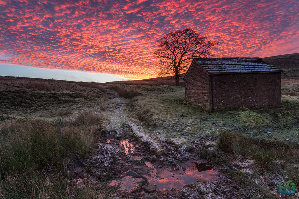
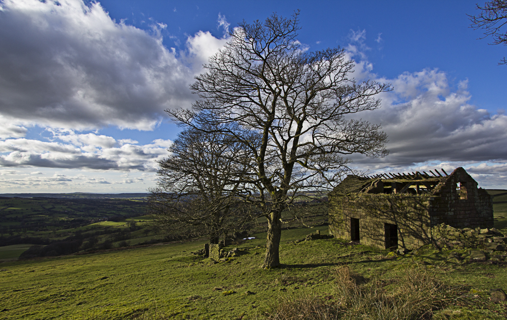
Wildboarclough Barn Sunirse
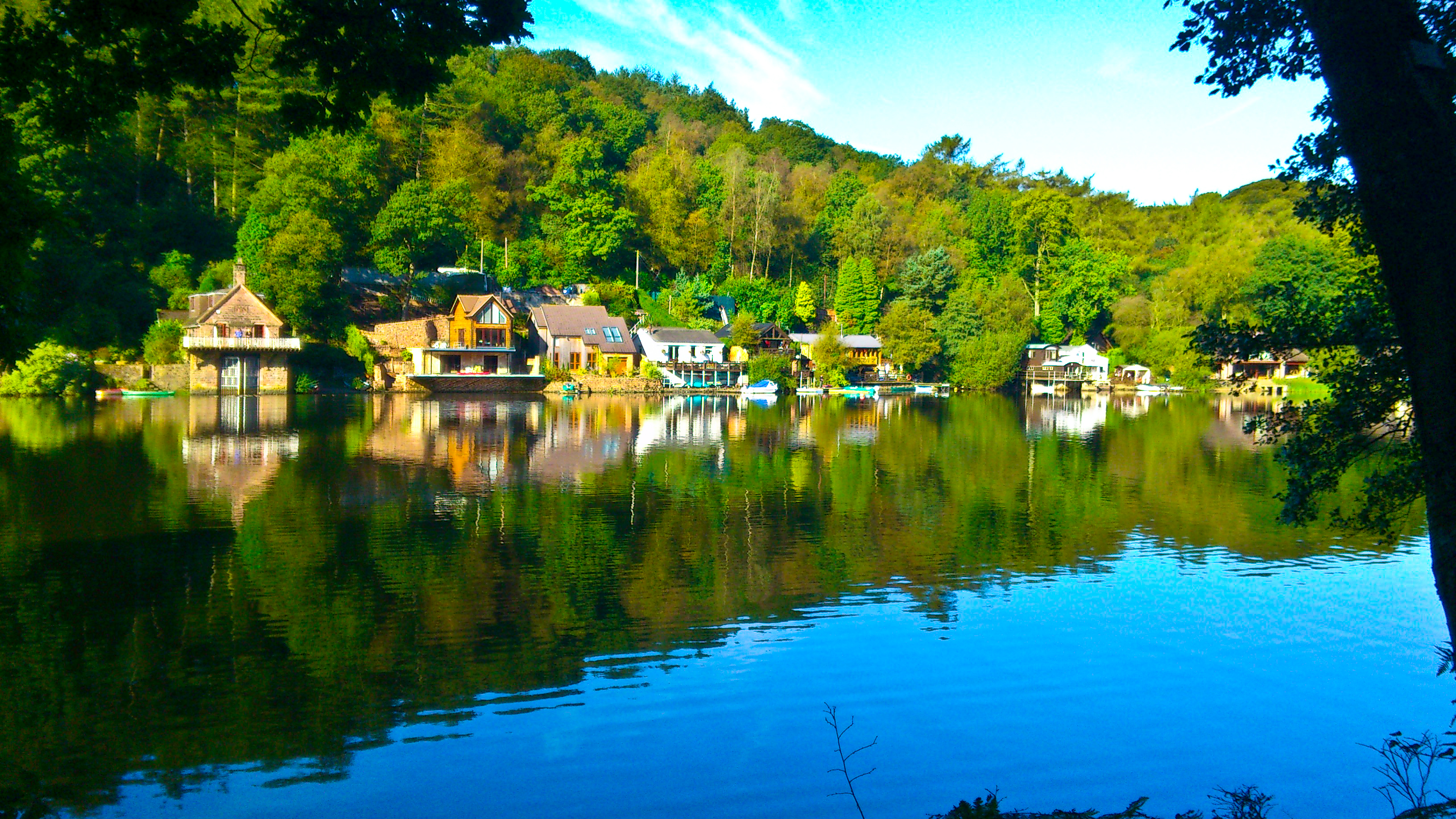
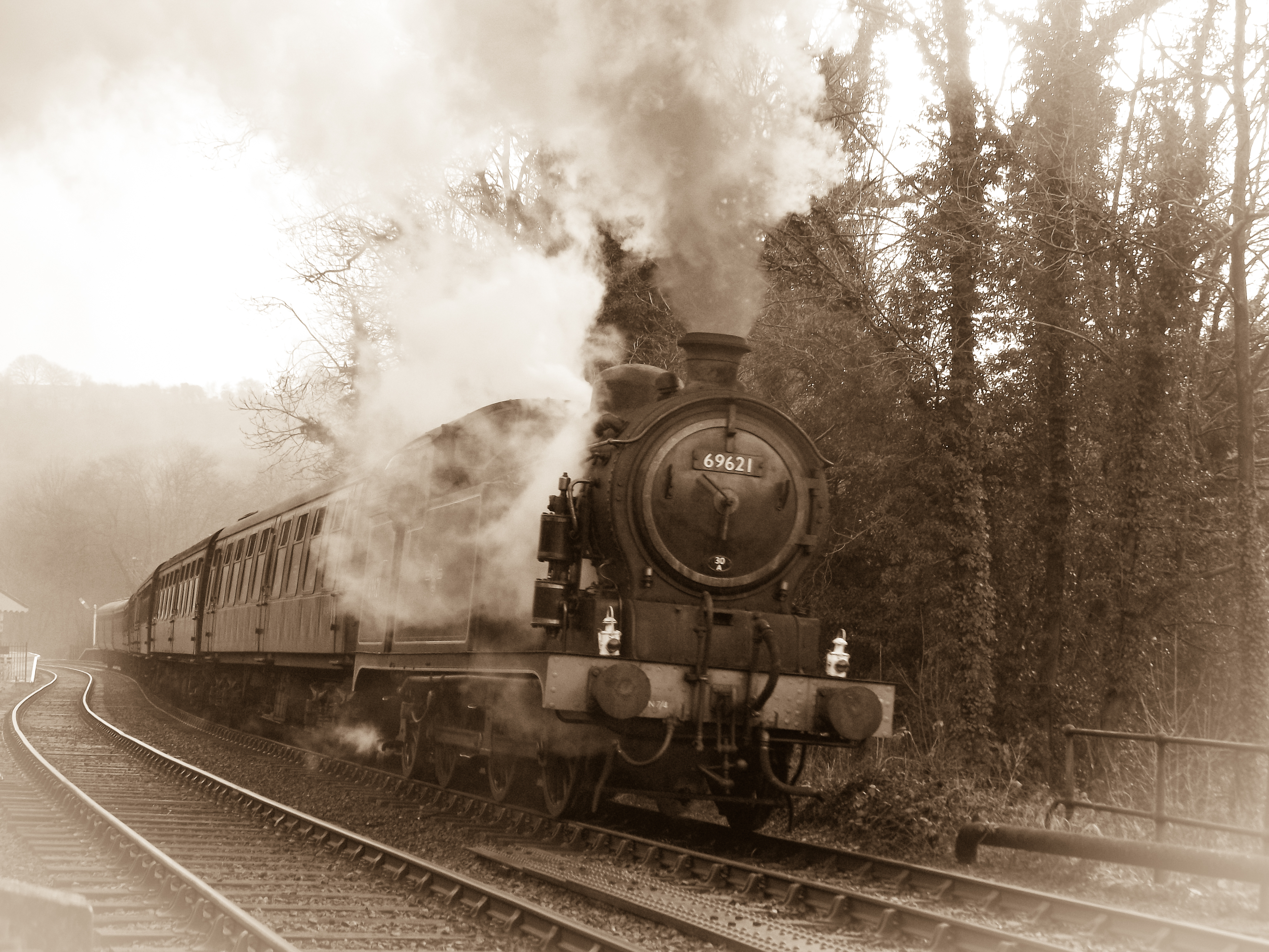
phone-Rudyard 22-9-0024.jpg

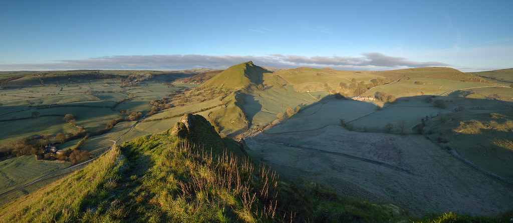
Chrome Hill from Parkhouse hill
Frosty Hollow
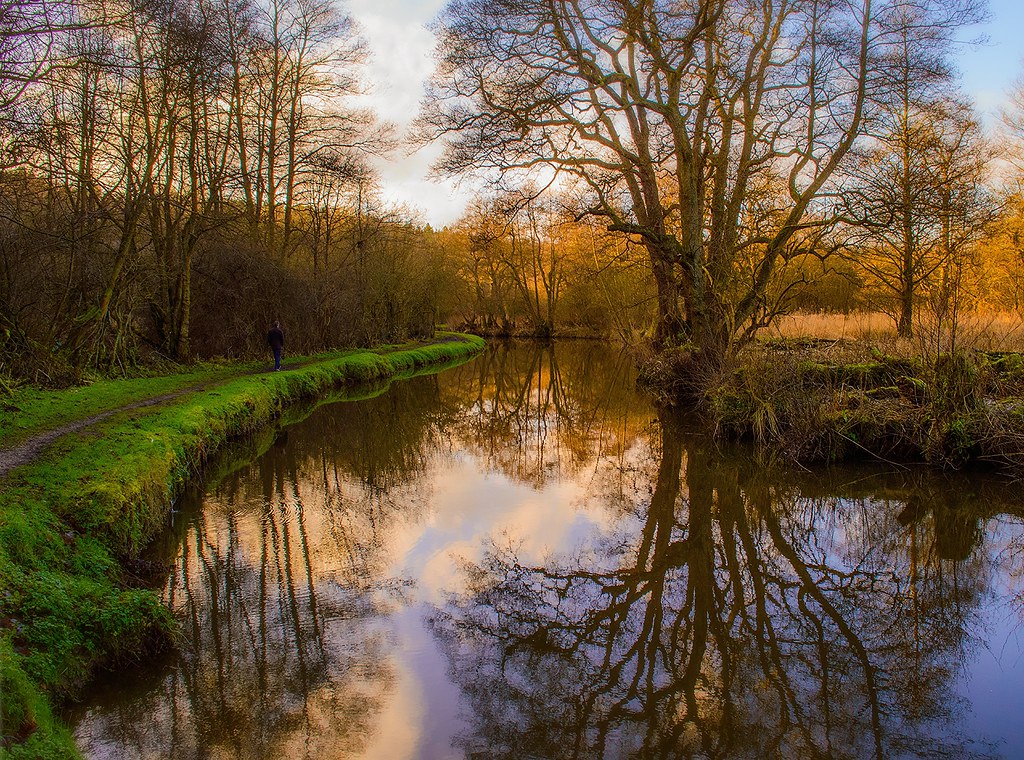
Cauldon Canal, Consall Forge

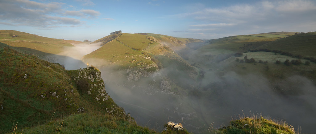
Two Hills
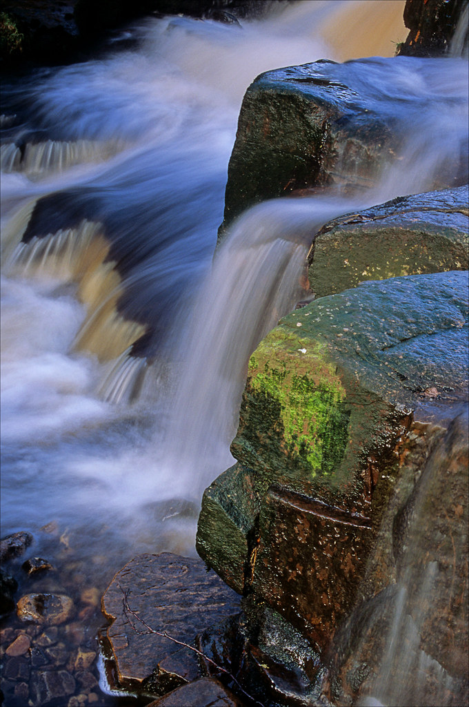
rushing by

Hollinsclough view

The Roaches - Hen Cloud
DSCF0029-3
Summit View

Frozen sunset
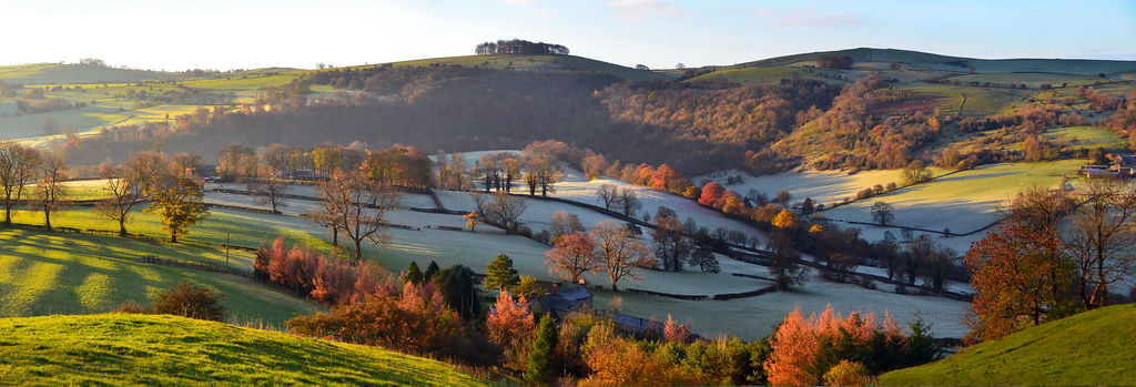
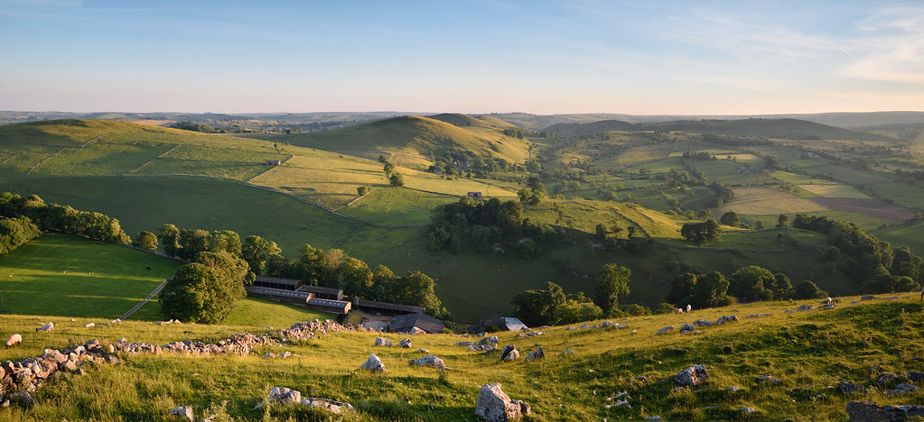
Peaseland Panorama (II)

Water Reflection (1)
Room With A View

Ramshaw Rocks Golden Hour

ON OUR WAY.
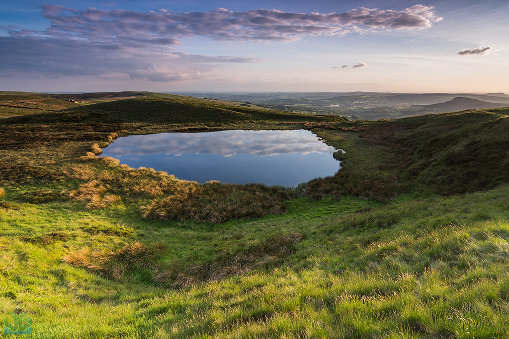
Blake Mere

Evening Light on Ramshaw Rocks
Looking West

Same old...
Topographic Map of Staffordshire Moorlands District, UK
Find elevation by address:

Places in Staffordshire Moorlands District, UK:
Places near Staffordshire Moorlands District, UK:
15 Cheadle Rd, Kingsley, Stoke-on-Trent ST10 2AP, UK
Kingsley
Basford Bridge Lane
11 Brindley Cres
St13 7fg
1 Basford Bridge Ln
Cheddleton
4 Fold Terrace
Heath House Farm Cottage
3 Greendale Ln, Greendale, Oakamoor, Stoke-on-Trent ST10 3AP, UK
Cheadle
St10 3ht
Cheadle
Alton Towers
Stanley
St3 6hr
Parkhall Country Park
St3 6az
Weston Road
Meir
Recent Searches:
- Elevation of Corso Fratelli Cairoli, 35, Macerata MC, Italy
- Elevation of Tallevast Rd, Sarasota, FL, USA
- Elevation of 4th St E, Sonoma, CA, USA
- Elevation of Black Hollow Rd, Pennsdale, PA, USA
- Elevation of Oakland Ave, Williamsport, PA, USA
- Elevation of Pedrógão Grande, Portugal
- Elevation of Klee Dr, Martinsburg, WV, USA
- Elevation of Via Roma, Pieranica CR, Italy
- Elevation of Tavkvetili Mountain, Georgia
- Elevation of Hartfords Bluff Cir, Mt Pleasant, SC, USA