Elevation of St. Pauls, St Pauls, NC, USA
Location: United States > North Carolina > Robeson County >
Longitude: -78.951451
Latitude: 34.8205779
Elevation: 49m / 161feet
Barometric Pressure: 101KPa
Elevation Map:
Satellite Map:
Related Photos:
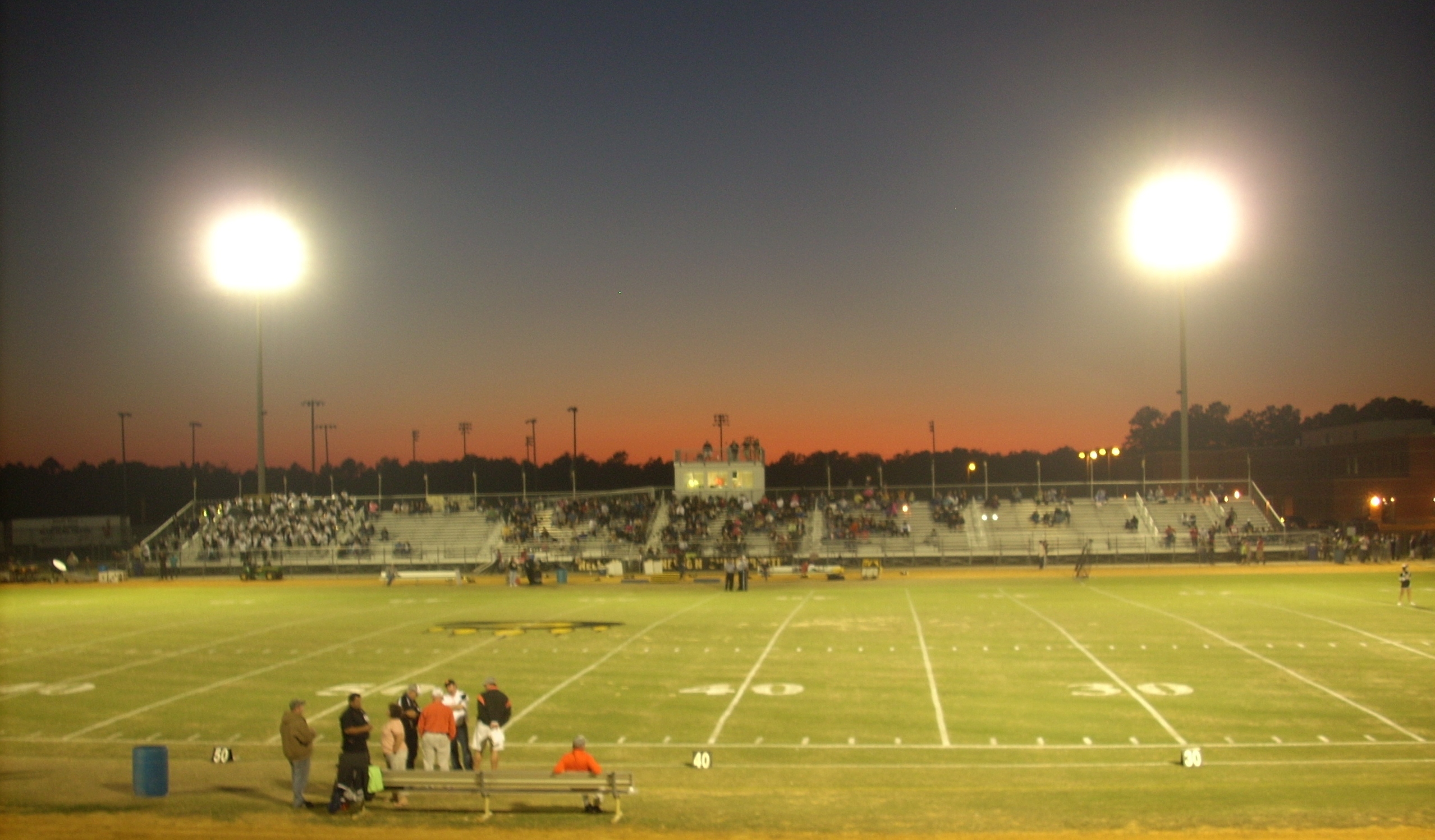
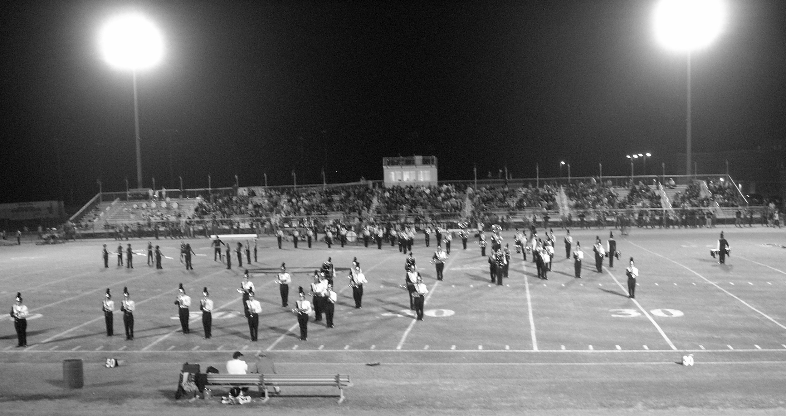
Bears Stadium
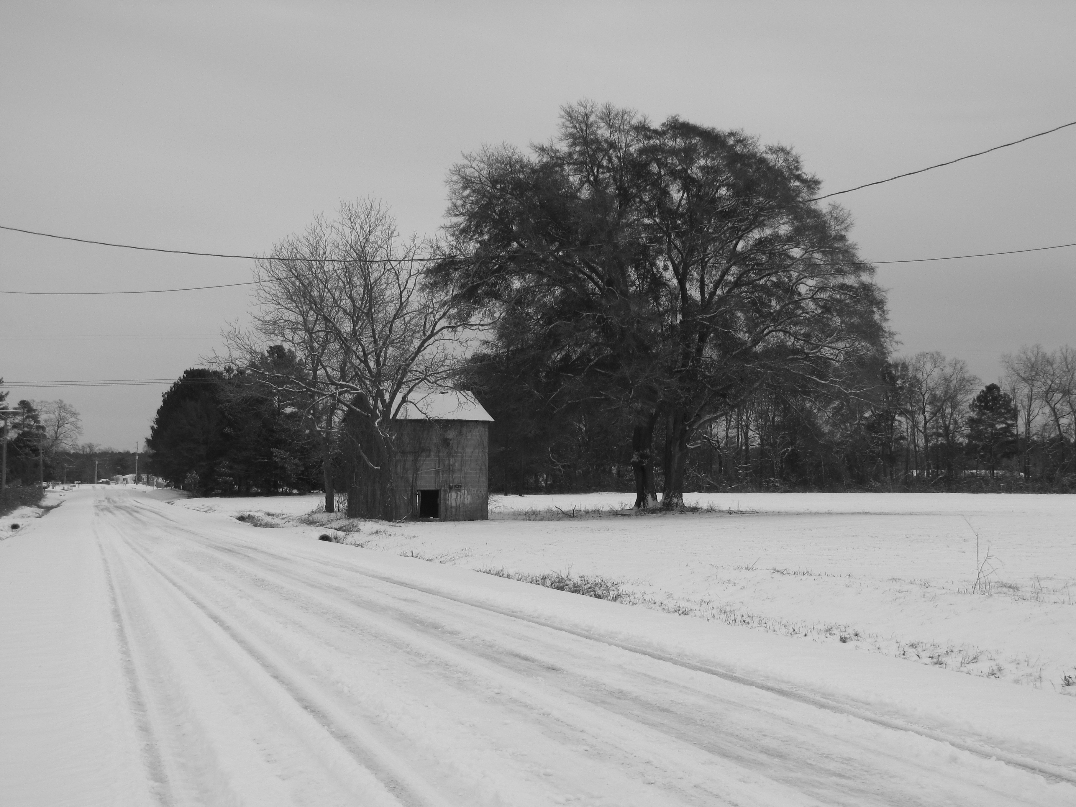
H. Bullard Road
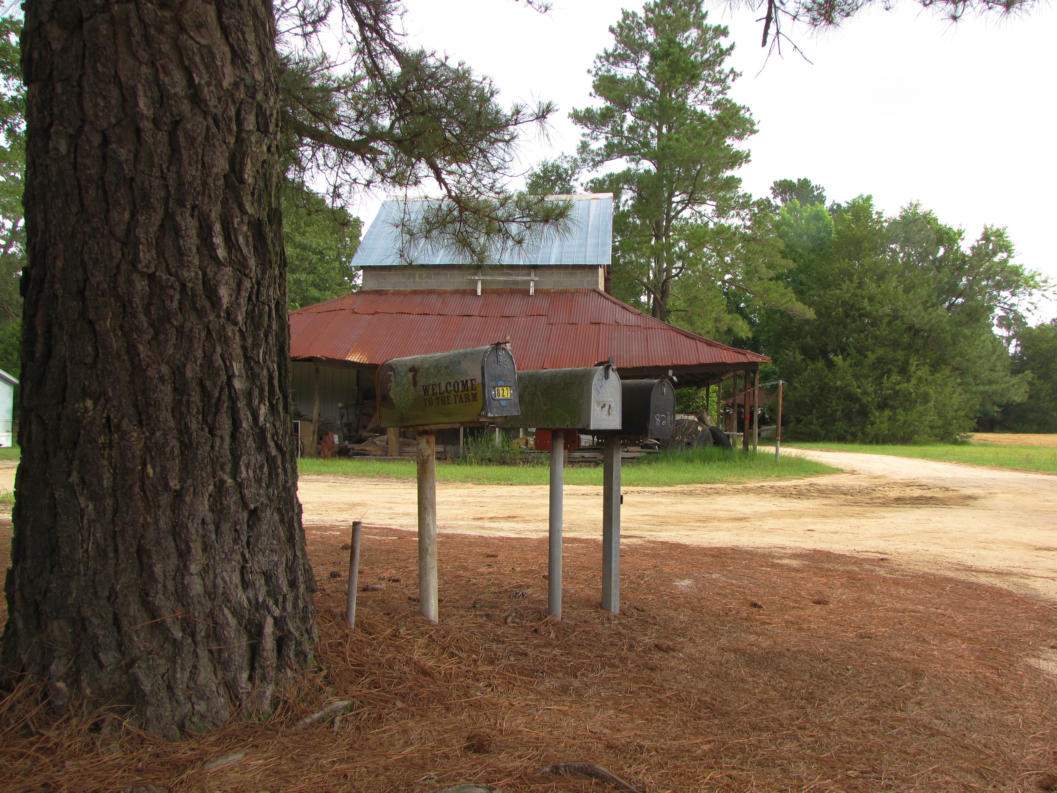
Welcome to the Farm
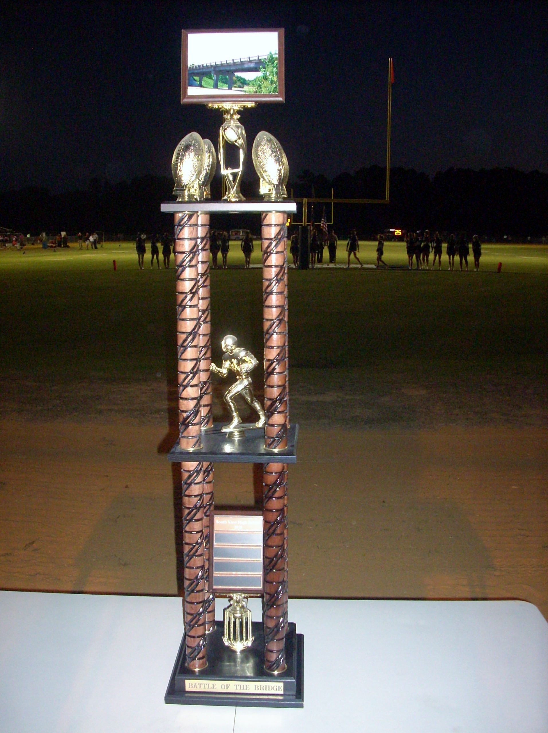
Battle of the Bridge trophy
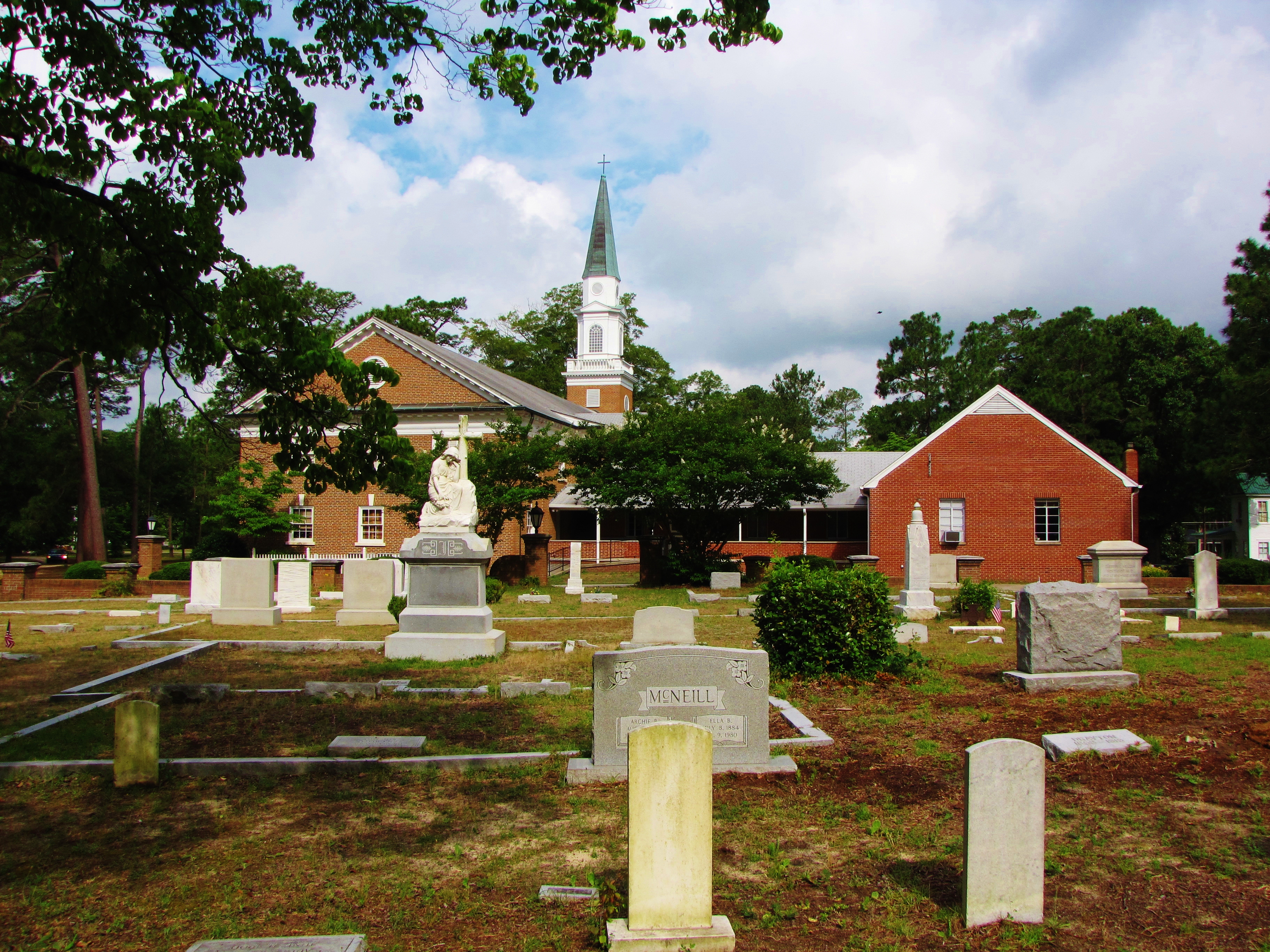
St. Pauls Presbyterian Cemetery (2)
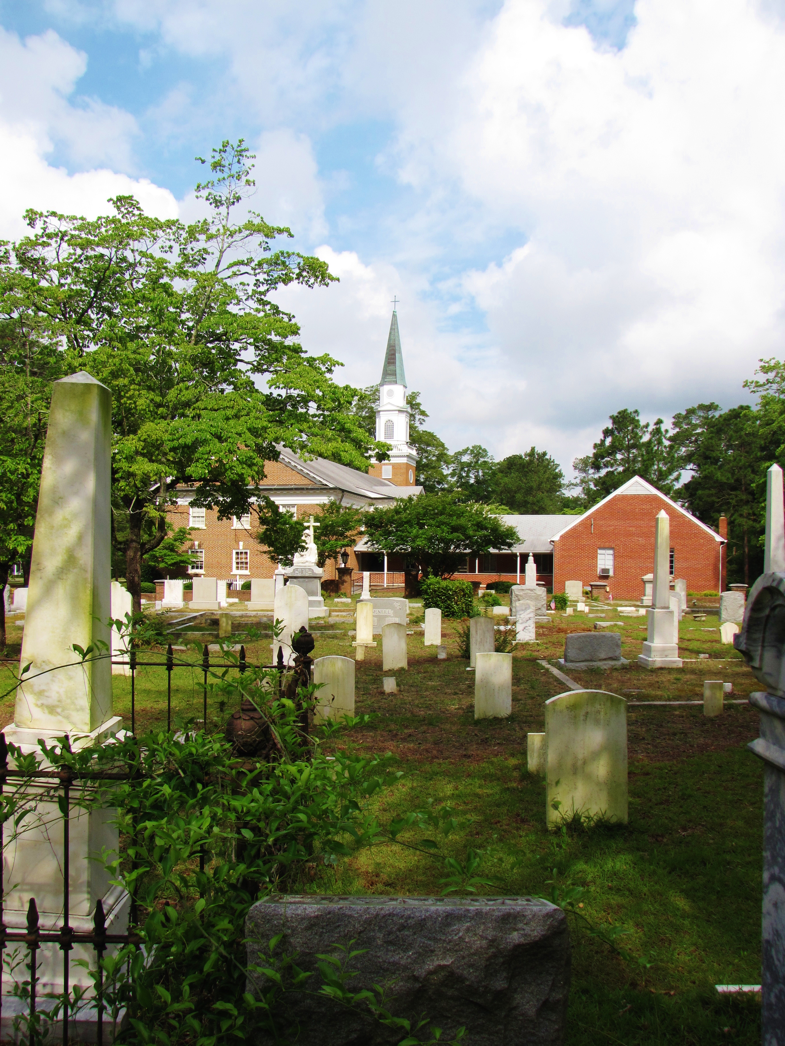
St. Pauls Presbyterian Cemetery
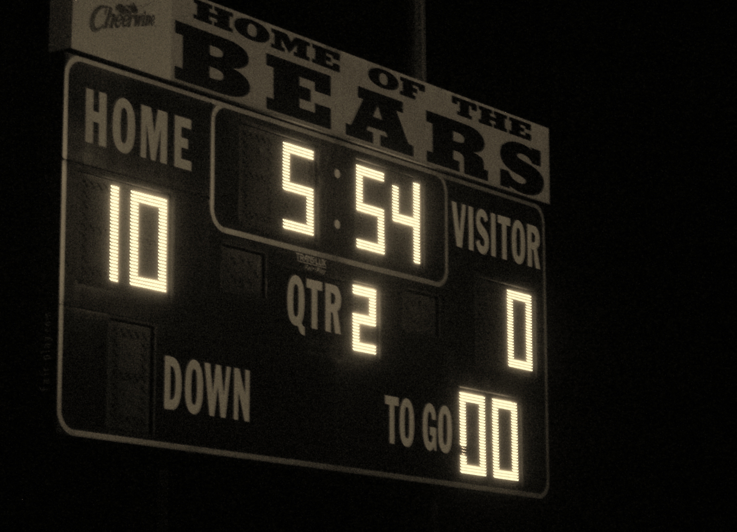
Home of the Bears
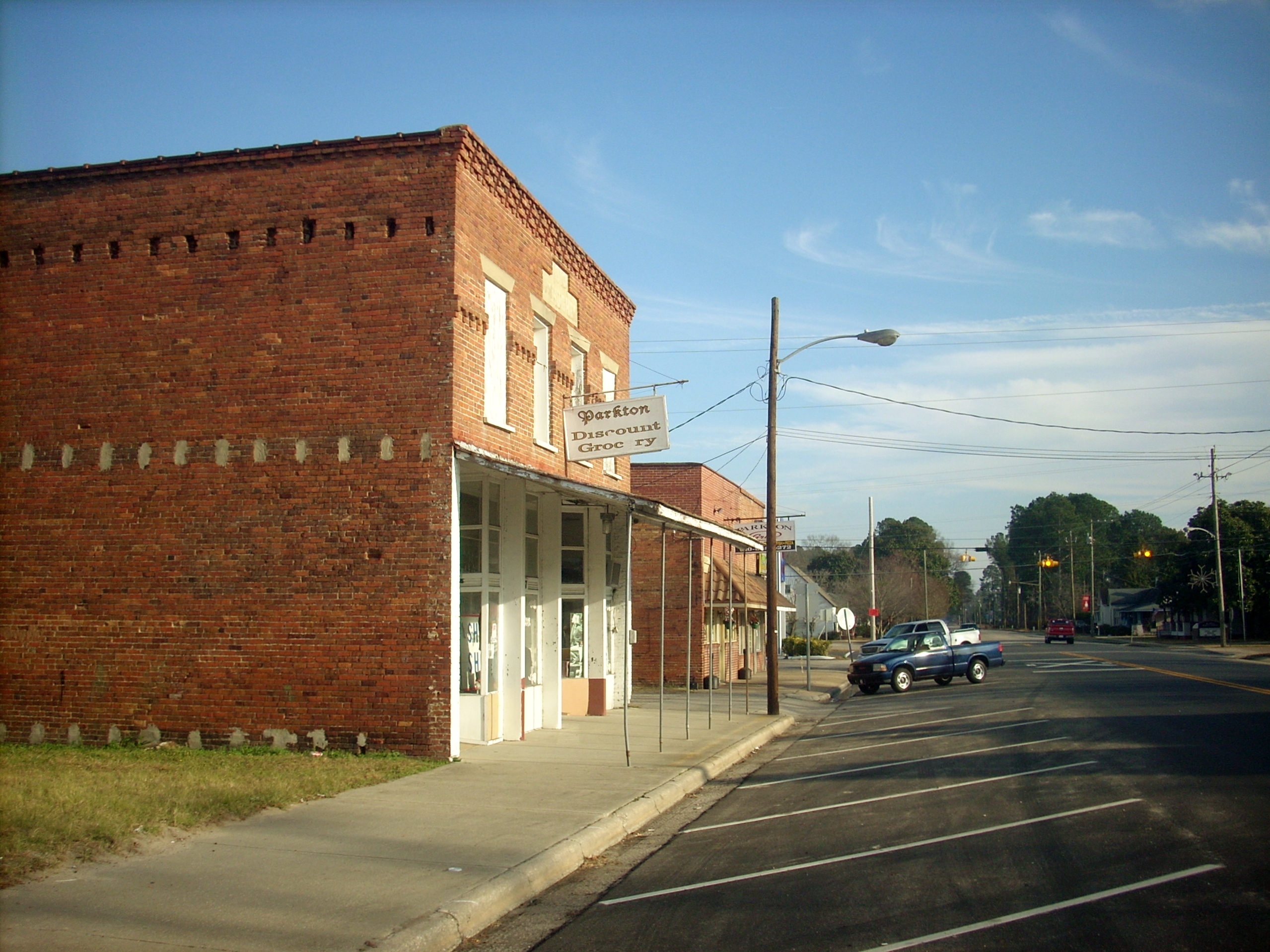
Downtown Parkton

South View Tigers flag
Grays Creek Band
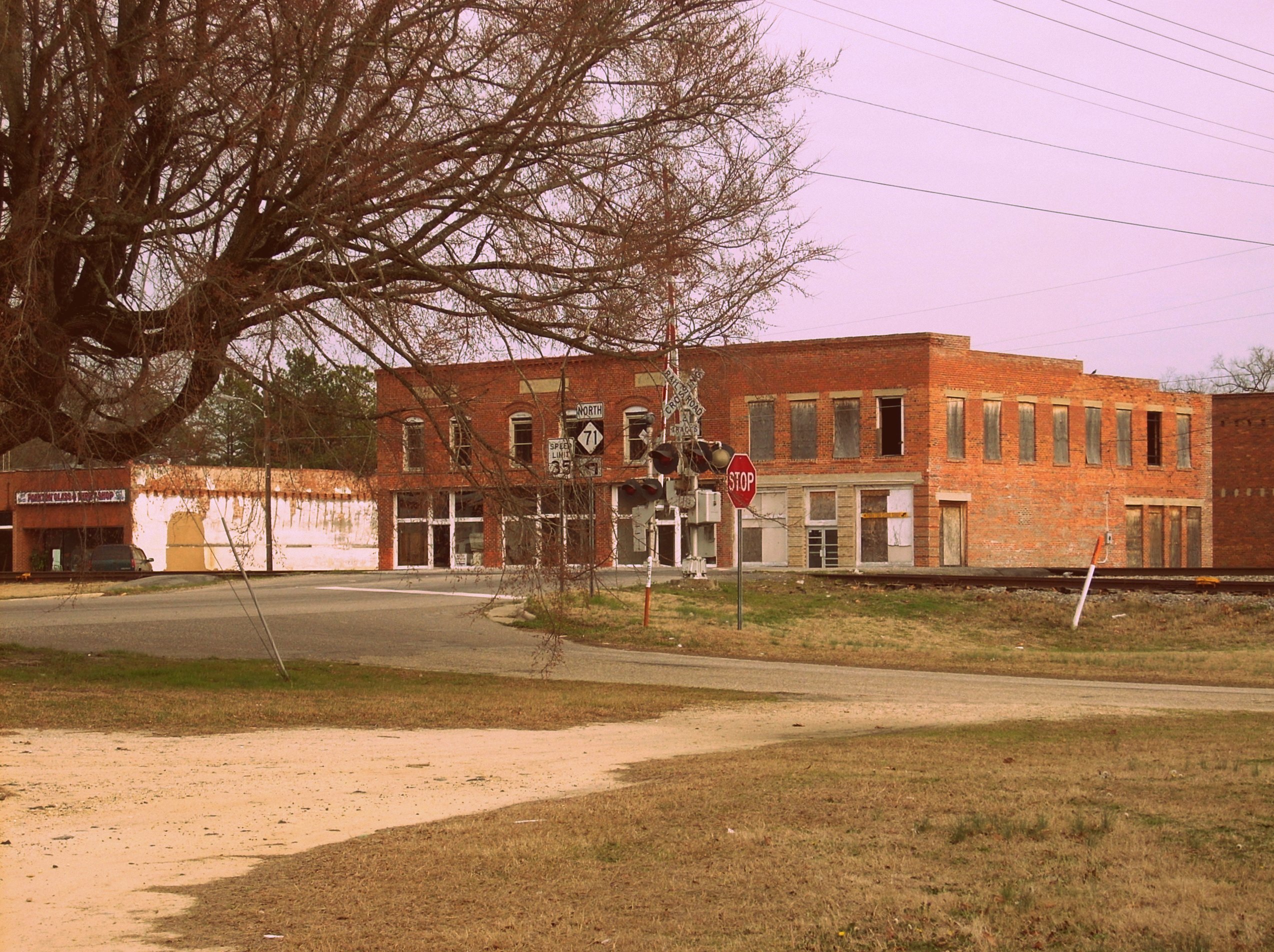
Parkton, NC
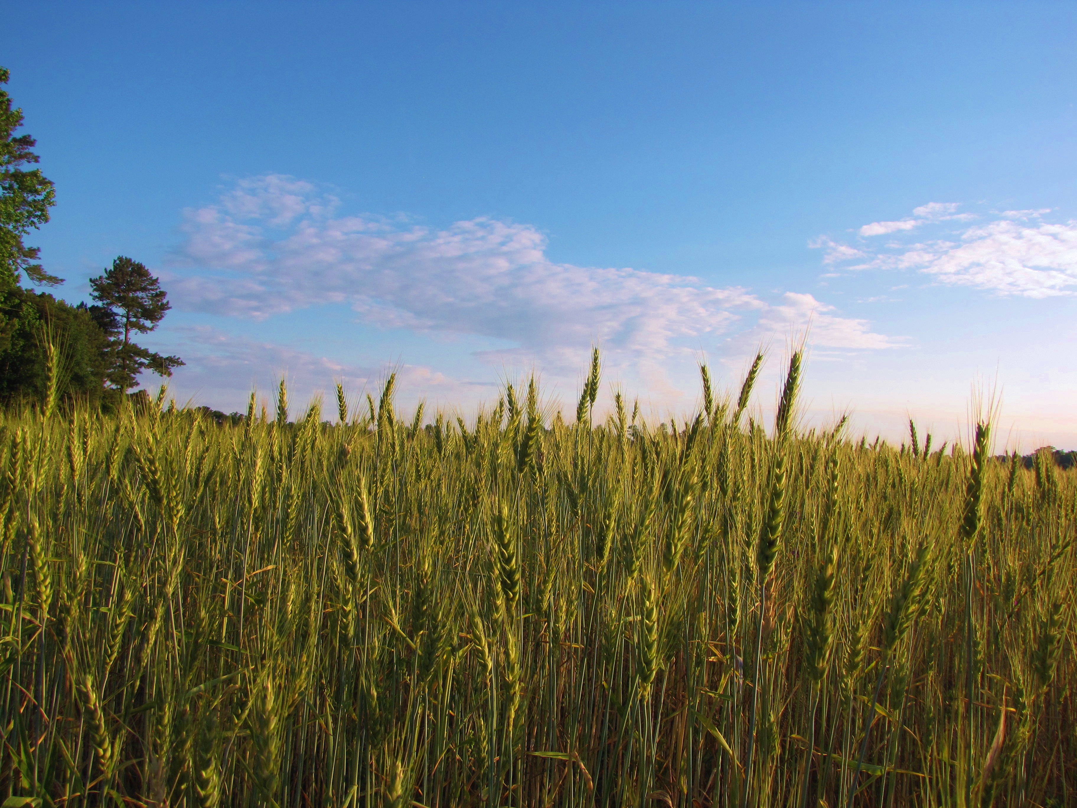
Waves of Grain
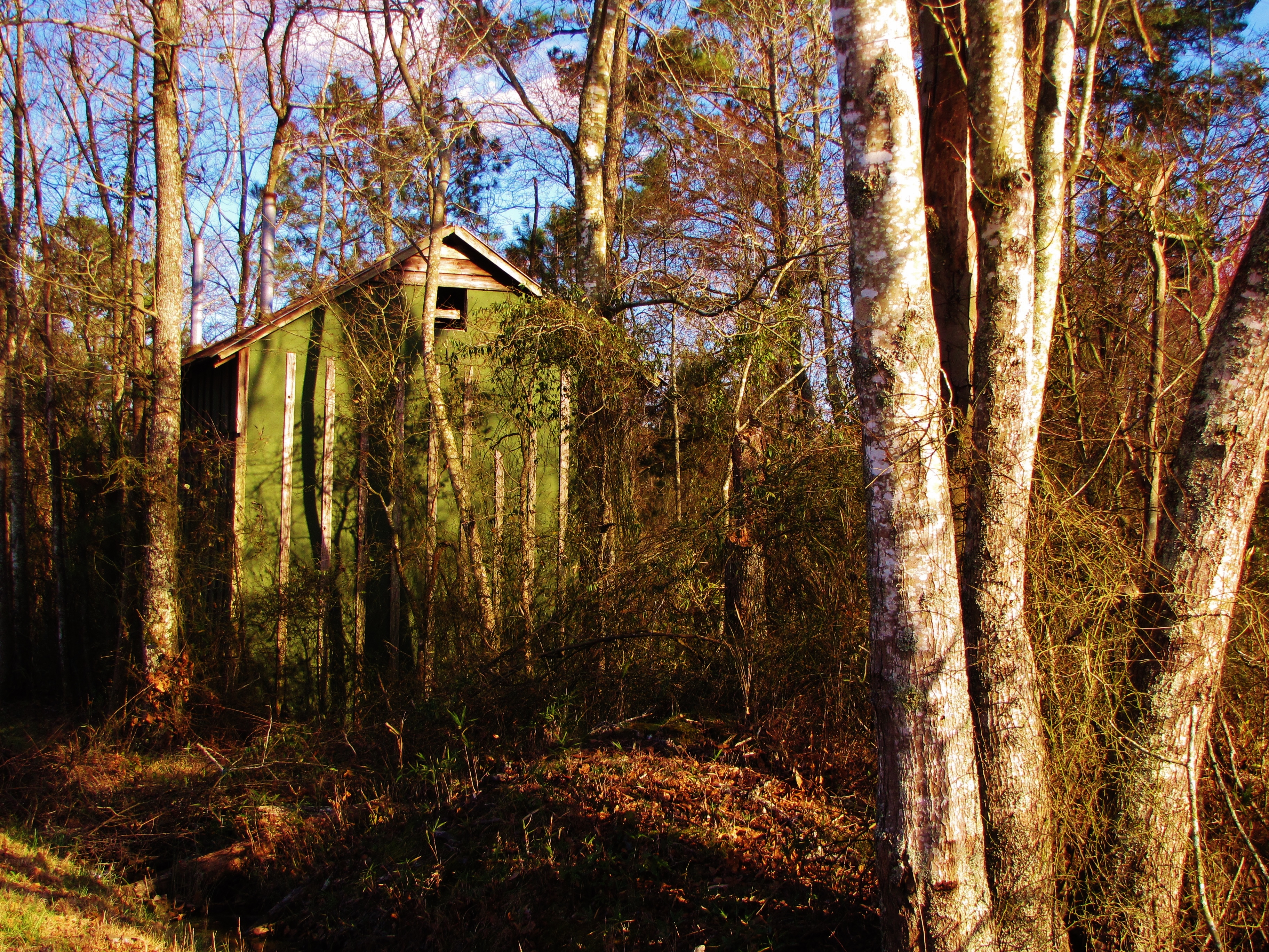
Tobacco Barn in the Woods
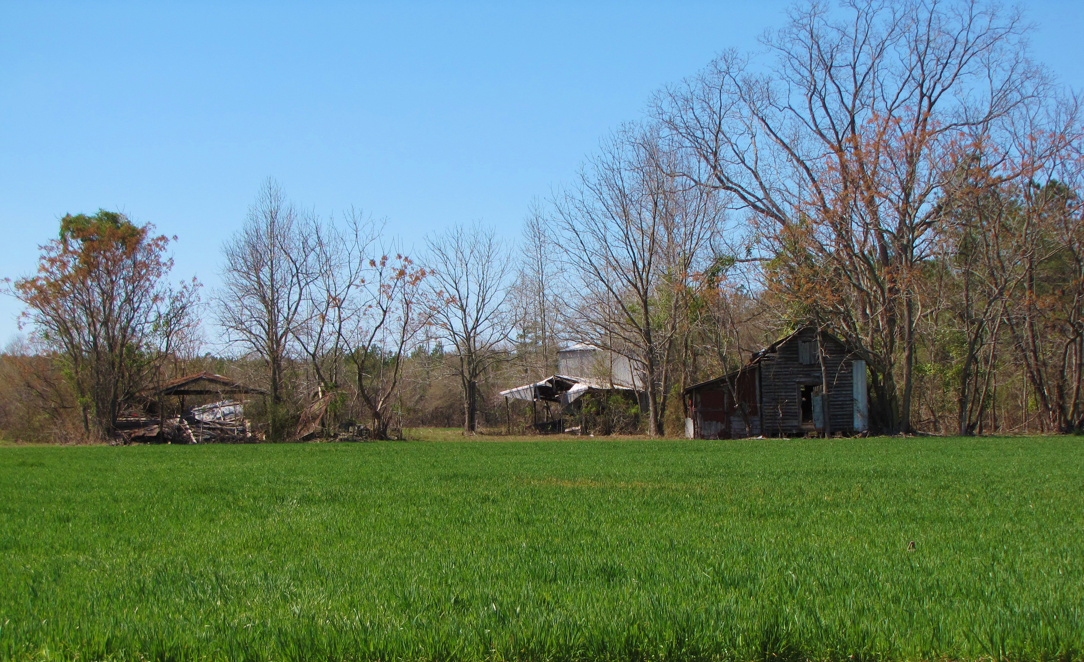
Time Has Passed By

Beaver Lodge
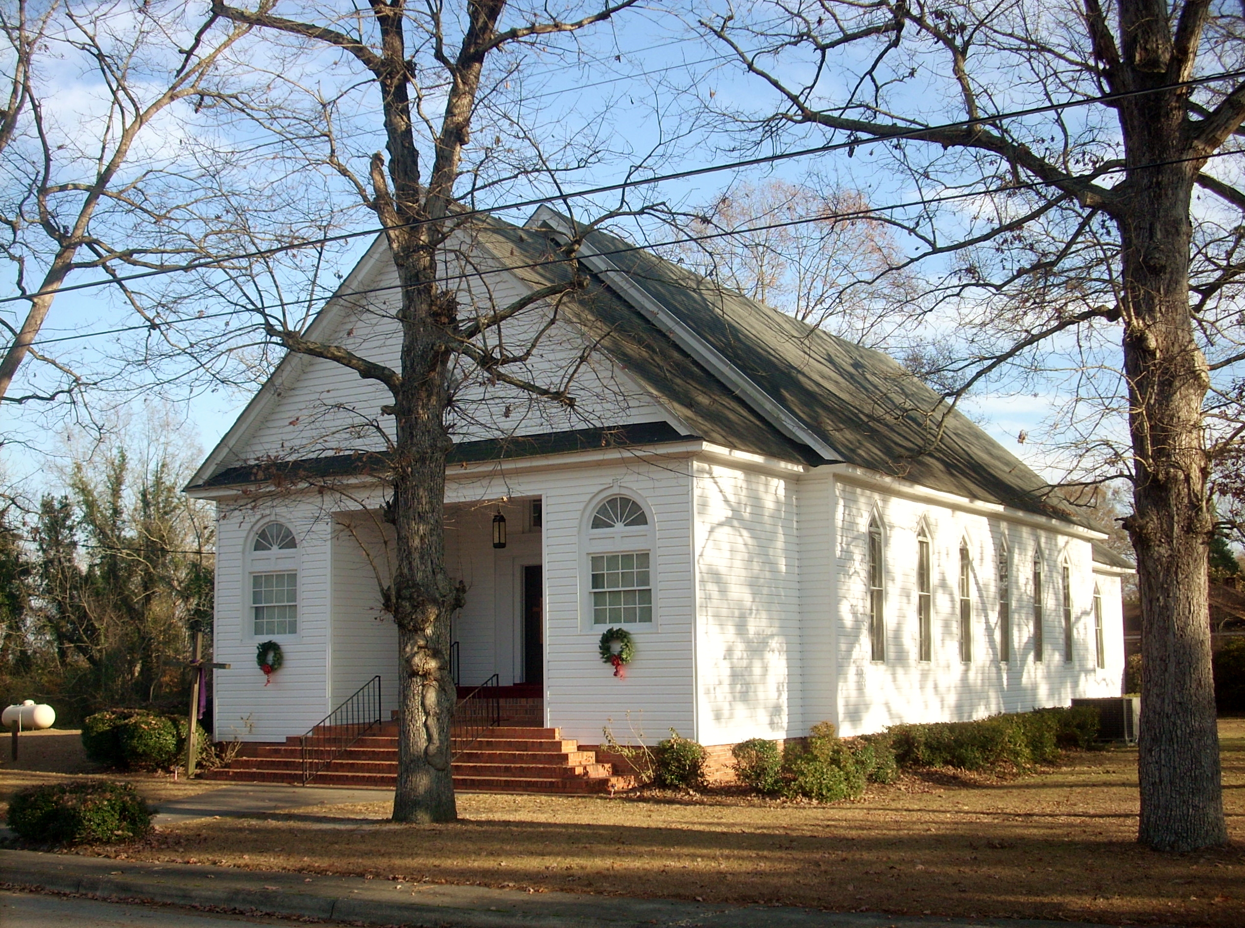
Lumber Bridge Baptist Church
Mark Victor Hanna
Come, Let's Sit Awhile
Progress??
Progress???
What are you looking at?

Roadside Magic Hour
Topographic Map of St. Pauls, St Pauls, NC, USA
Find elevation by address:

Places in St. Pauls, St Pauls, NC, USA:
Places near St. Pauls, St Pauls, NC, USA:
Saint Pauls
4697 Blanchard Rd
3290 Shaw Mill Rd
8548 Governors Ln
8540 Governors Ln
1305 Joe Hall Rd
Odom Road
1916 Pineville Dr
Davis Farm Road
3176 Legare Ln
King Hiram Road
Braxton Road
5650 Prestonfield Ln
5618 Prestonfield Ln
5151 Celebration Dr
7007 Pope Cashwell Ct
1224 Masterpiece Dr
1228 Masterpiece Dr
5226 Pride Ln
Finish Line Drive
Recent Searches:
- Elevation of Corso Fratelli Cairoli, 35, Macerata MC, Italy
- Elevation of Tallevast Rd, Sarasota, FL, USA
- Elevation of 4th St E, Sonoma, CA, USA
- Elevation of Black Hollow Rd, Pennsdale, PA, USA
- Elevation of Oakland Ave, Williamsport, PA, USA
- Elevation of Pedrógão Grande, Portugal
- Elevation of Klee Dr, Martinsburg, WV, USA
- Elevation of Via Roma, Pieranica CR, Italy
- Elevation of Tavkvetili Mountain, Georgia
- Elevation of Hartfords Bluff Cir, Mt Pleasant, SC, USA