Elevation of St Patricks Rd, New Glasgow, PE C0A 1N0, Canada
Location: Canada > Prince Edward Island > Queens County > Lot 22 >

Longitude: -63.384922

Latitude: 46.3932776

Elevation: 72m / 236feet

Barometric Pressure: 100KPa

Elevation Map:

elevation map of St Patricks Rd, New Glasgow, PE C0A 1N0, Canada

Satellite Map:

Satellite map of St Patricks Rd, New Glasgow, PE C0A 1N0, Canada

Related Photos:

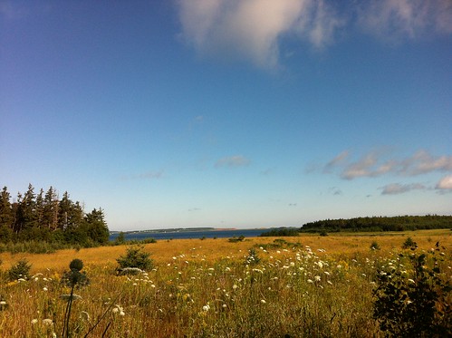
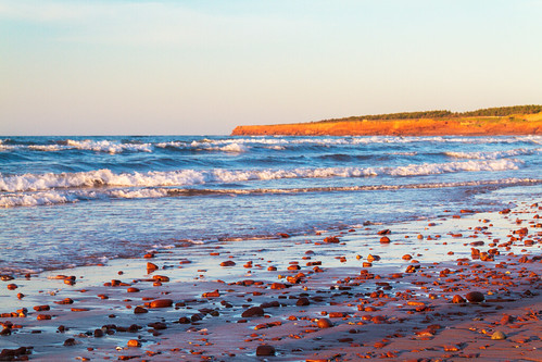
canada princeedwardisland pei hdr 2011
Quintessential North Shore PEI - HDR
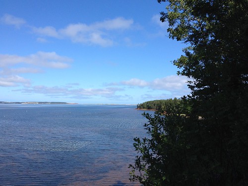
View from our cottage.
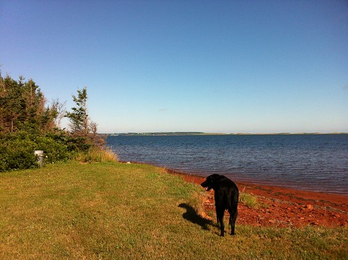
Milton enjoying the view.
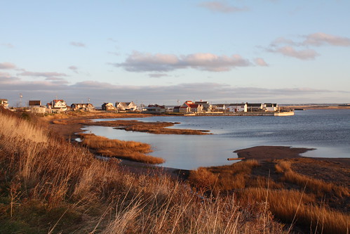
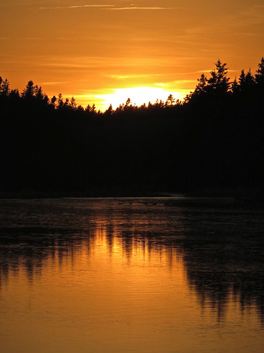
View of New London Bay at sunset.
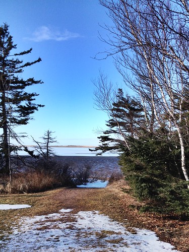
View from Homestead Trail.
canada water rustico queens shore pei canoneosrebelxsi
North Rustico, PEI
canada nationalpark princeedwardisland pe pei hdr 2010 peinp
Brackley Beach, PEI National Park - HDR
A closer view of Cavendish Beach.
canada nationalpark princeedwardisland pe pei hdr 2010 peinp
PEI National Park - HDR 1
View toward French River.
Another view of the beach.
View towards Spring Brook.
square squareformat iphoneography instagramapp uploaded:by=instagram foursquare:venue=51e0baef498e3b69526ee91c
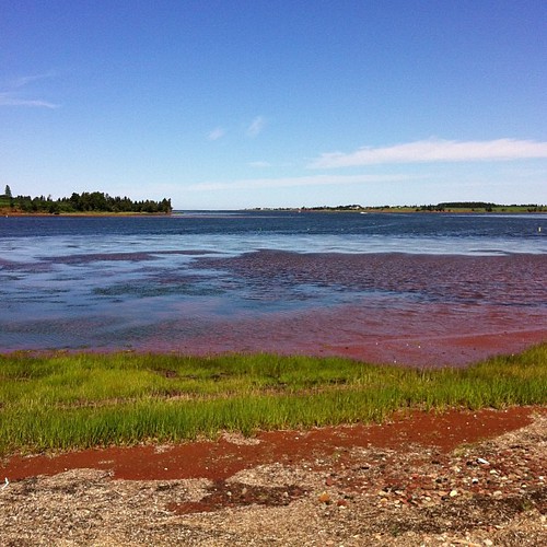
The view off the back deck of the random lunch spot we stopped at on our third year anniversary day. Blown away by the sights on no filter island! #PEI #Gorgeous #BaySide #SeaSide #LocalFlavours #Love #Year4Ever
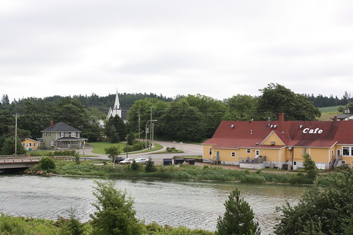
canada church river view queens pei newglasgow
New Glasgow, PEI
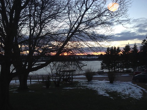
View of the bay from Bruce's gazebo.
island prince edward
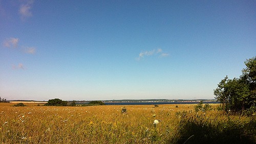
another beautiful view
View across New London Bay.
View towards the sand dunes.
island prince edward
tippy top view
architecture restaurant artgallery brackleybeach thedunes
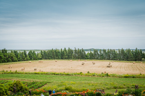
The View from The Dunes
canada princeedwardisland northrustico
View in PEI
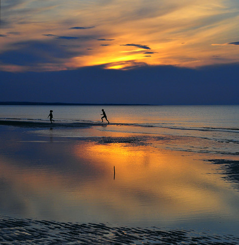
ocean sunset red sea canada beach island evening sand wind dusk north wave clear shore maritime pei cavendish
Windy island evening
supershot
On the Beach
sea sky canada clouds dunes meadows illumination textures princeedwardisland 1001nights explored islandness northrusticoharbour magicunicornverybest magicunicornmasterpiece rememberthatmomentlevel1 kurtpeiserexcellence redsandroads
Going Down the Rustico Road (explored)
PEI - north shore
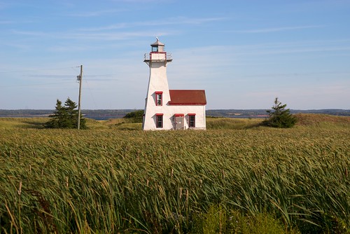
lighthouse atlanticocean nikkor4386mmf35zoom sonyalpha7rilce7ra7r vacation2014fallatlanticcanada
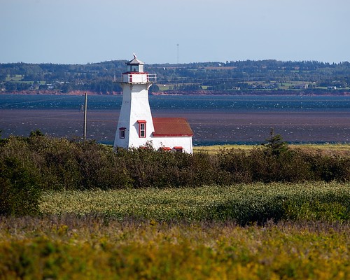
New London Range Rear Lighthouse
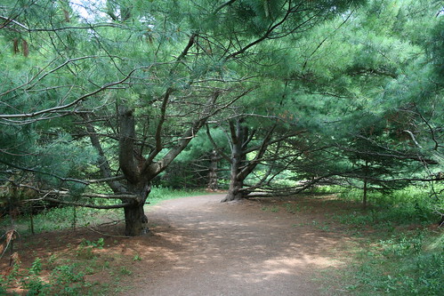
life trees tree nature outside outdoors living nationalpark path live trail arbres princeedwardisland alive arbre pei cavendish sentier chemin vie anneofgreengables dehors greengables exterieur princeedwardislandnationalpark hauntedwood
Magic Wood/Bois Magique
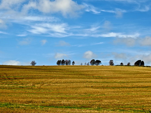
canada landscape places princeedwardisland
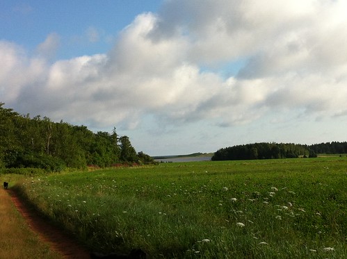
Field, near Kensington, PEI
ocean sea canada beach island sand wave northshore maritime pei cavendish
Cavendish Beach, PEI
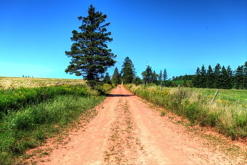
red canada princeedwardisland backroad pei hdr 2013
Back road on PEI, HDR
PEI 2013
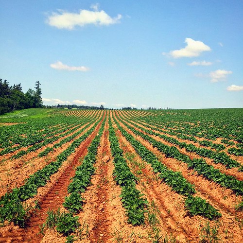
square squareformat iphoneography instagramapp uploaded:by=instagram
Spuds. #pei
lighthouse flickr explore atlanticocean sonyalpha7rilce7ra7r vacation2014fallatlanticcanada
New London Range Rear lighthouse
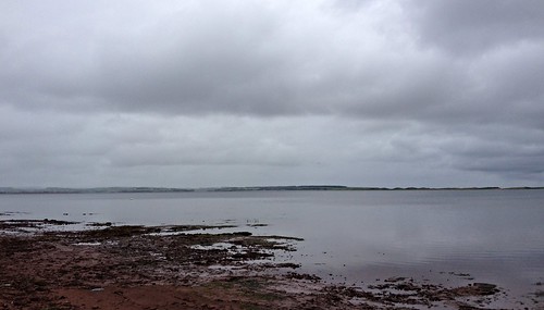
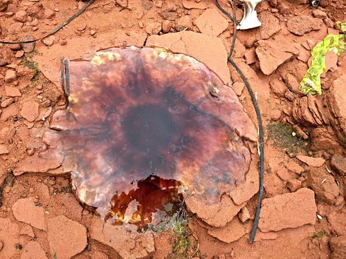
Dead jellyfish on the rocks.
blue sky canada flower field yellow barn farm farmland princeedwardisland agriculture pei hdr freetown
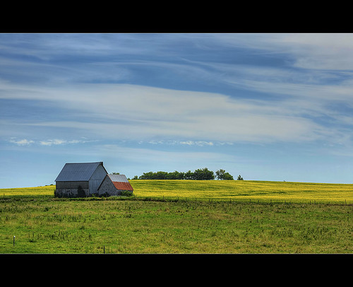
The Old Barn
canada princeedwardisland charlottetown dunescafeandgallery
Dunes Cafe and Gallery
Snow on the pine branches.
charlottetown
PRINCE EDWARD ISLAND
Cape Turner.
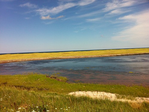
More of the marsh near South Rustico.
scenery holidays
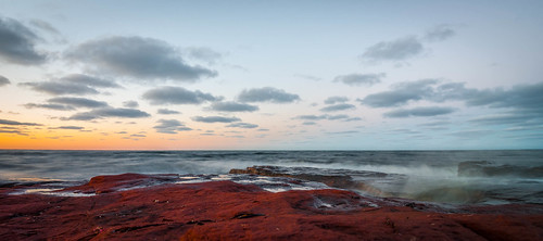
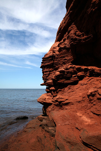
Red Rocks II