Elevation of St. Mary's, NS, Canada
Location: Canada > Nova Scotia > Guysborough County >
Longitude: -62.213616
Latitude: 45.1793302
Elevation: 122m / 400feet
Barometric Pressure: 100KPa
Elevation Map:
Satellite Map:
Related Photos:

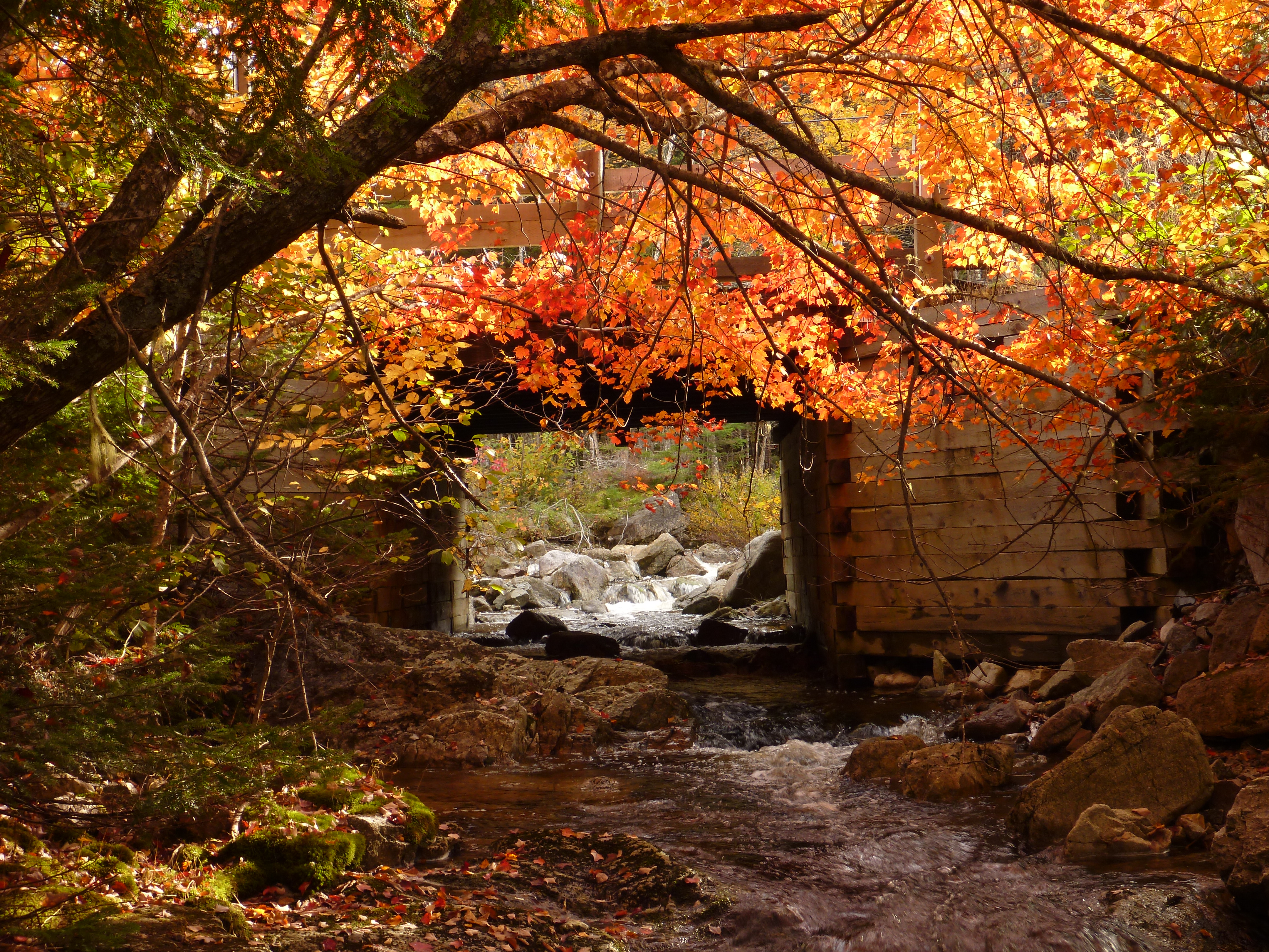
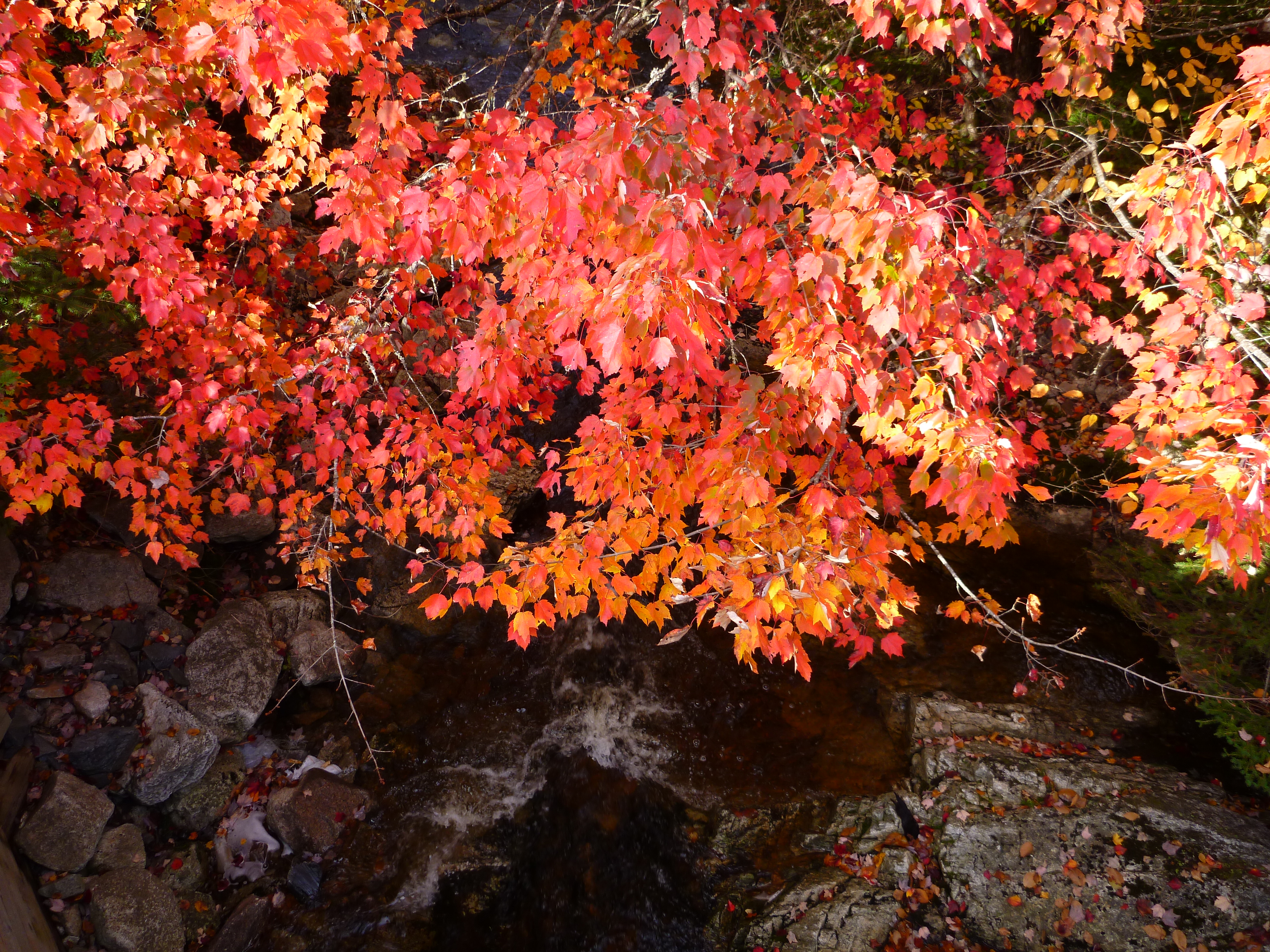
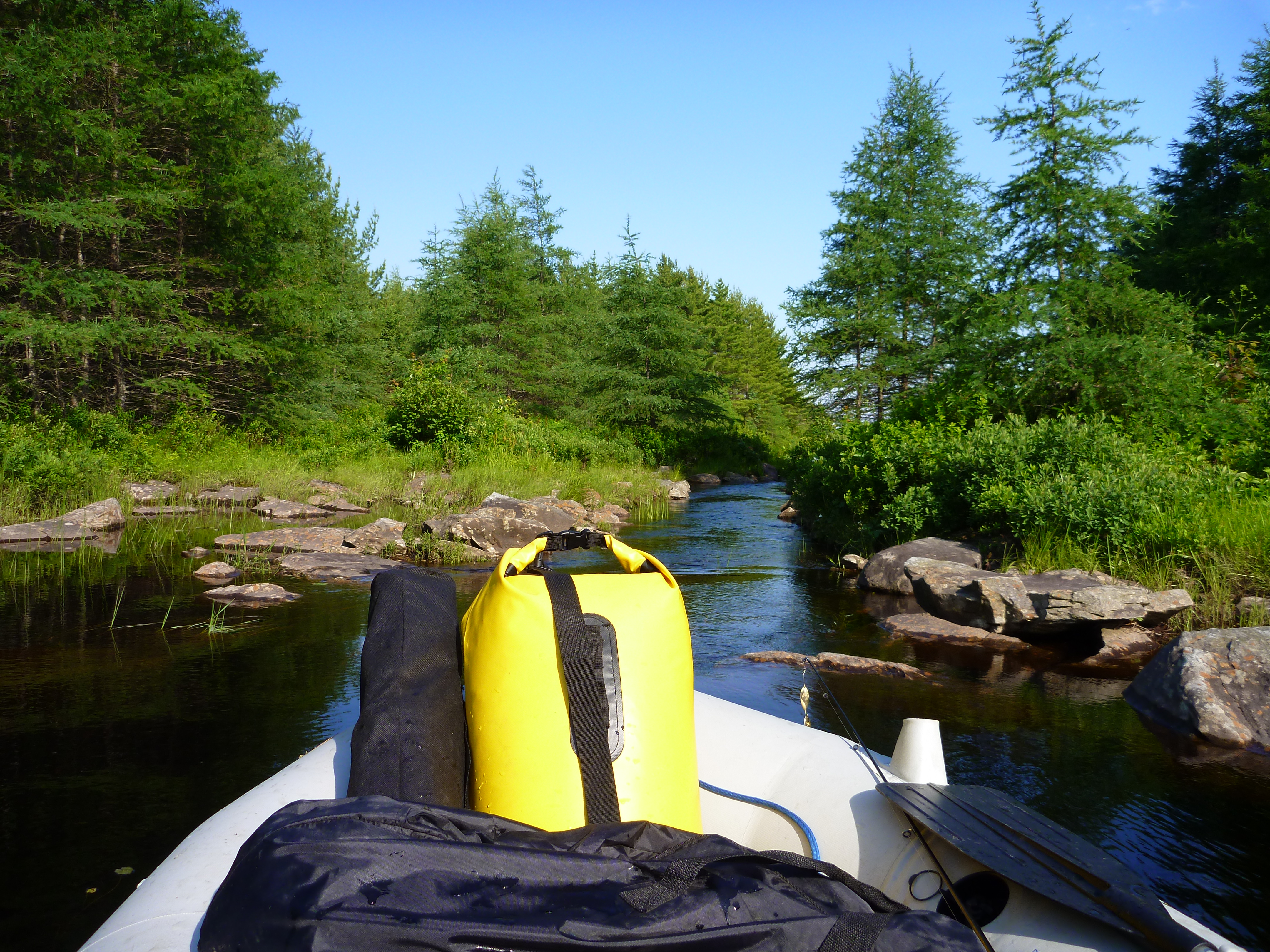
Lower St. Mary's River
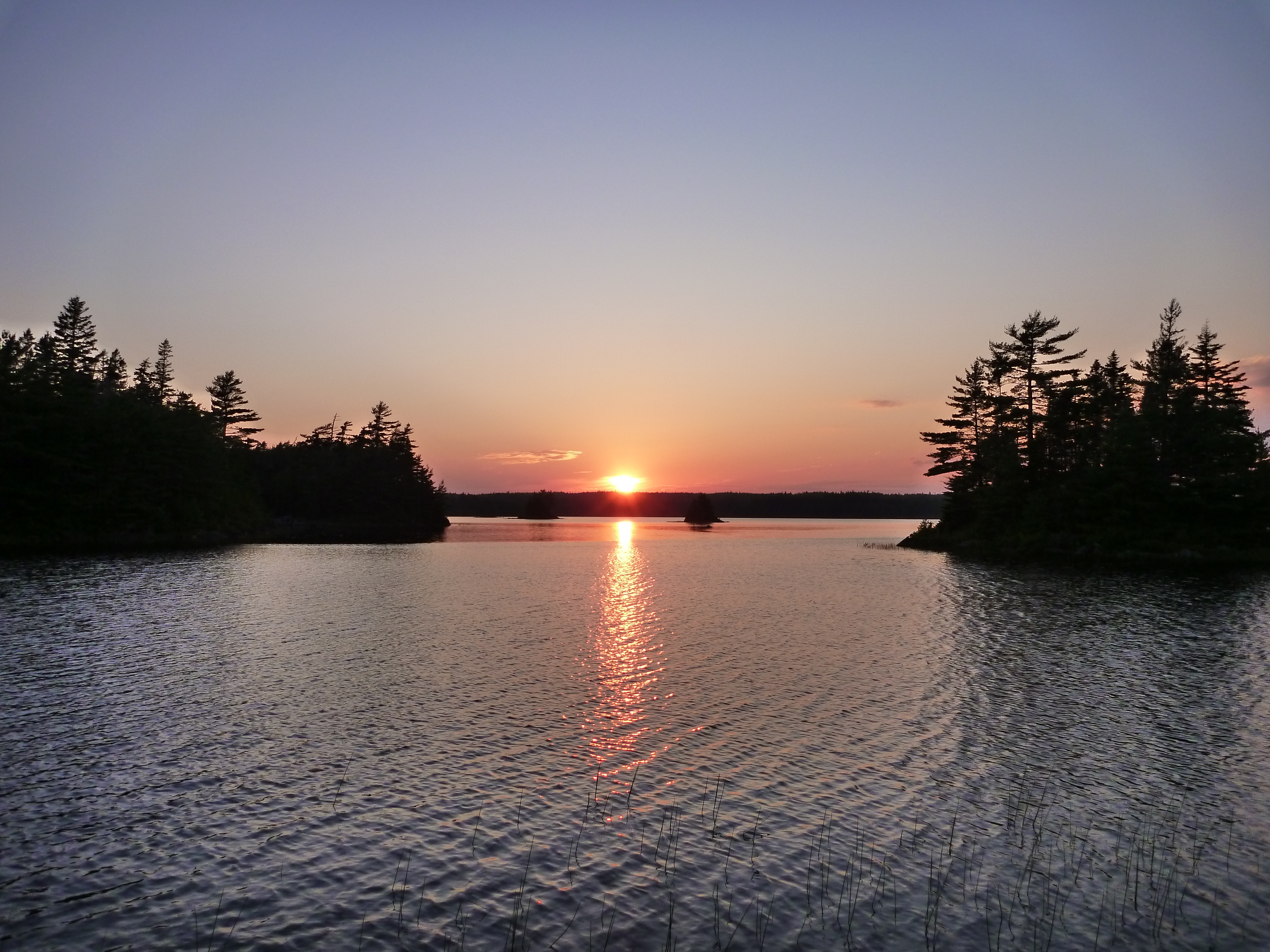
Big Brook Lake (2)
Lower Rocky Lake Stills (4)
Big Brook Lake (3) (after the rain)
Lower Rocky Lake Stills (3)
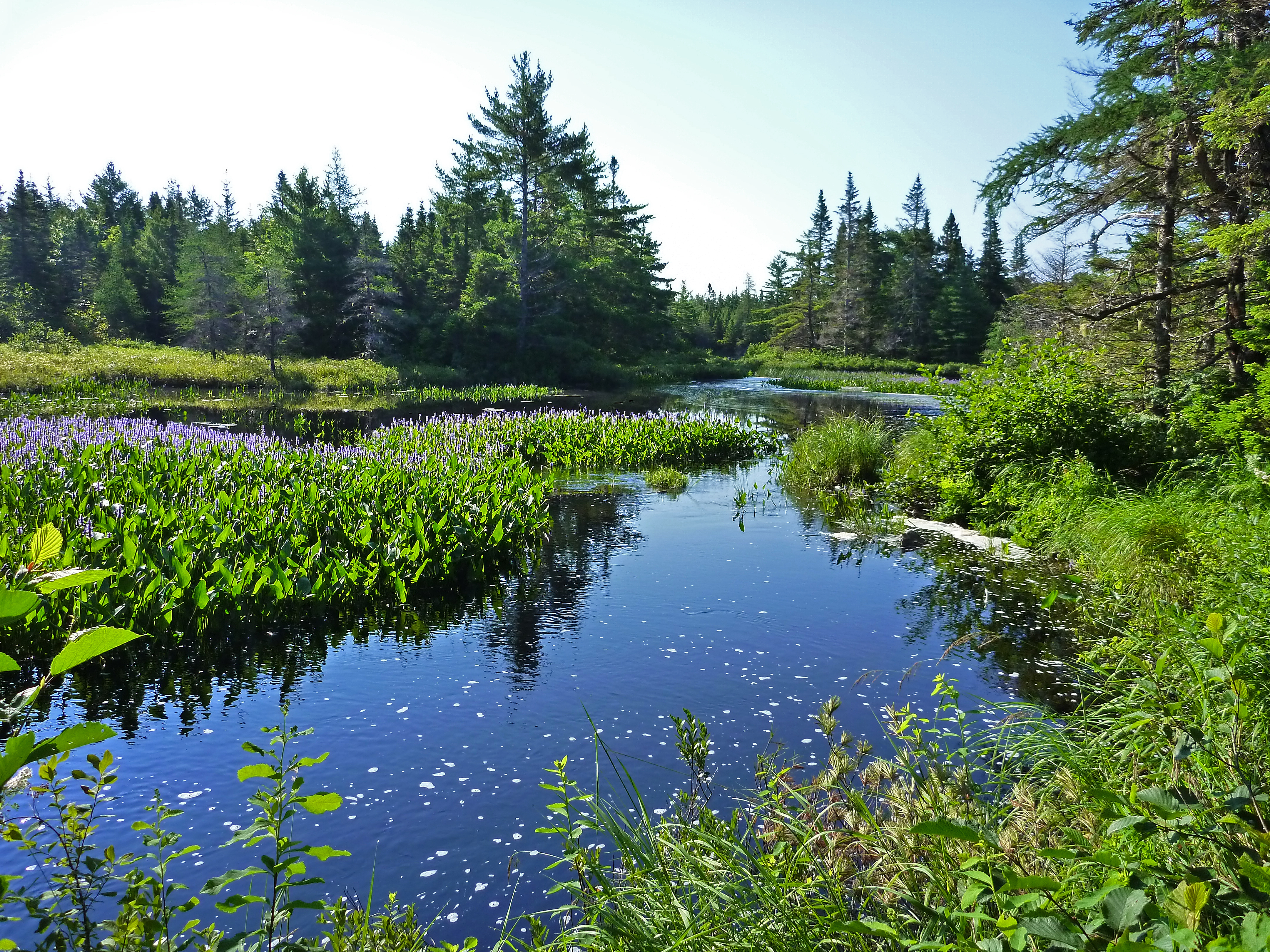
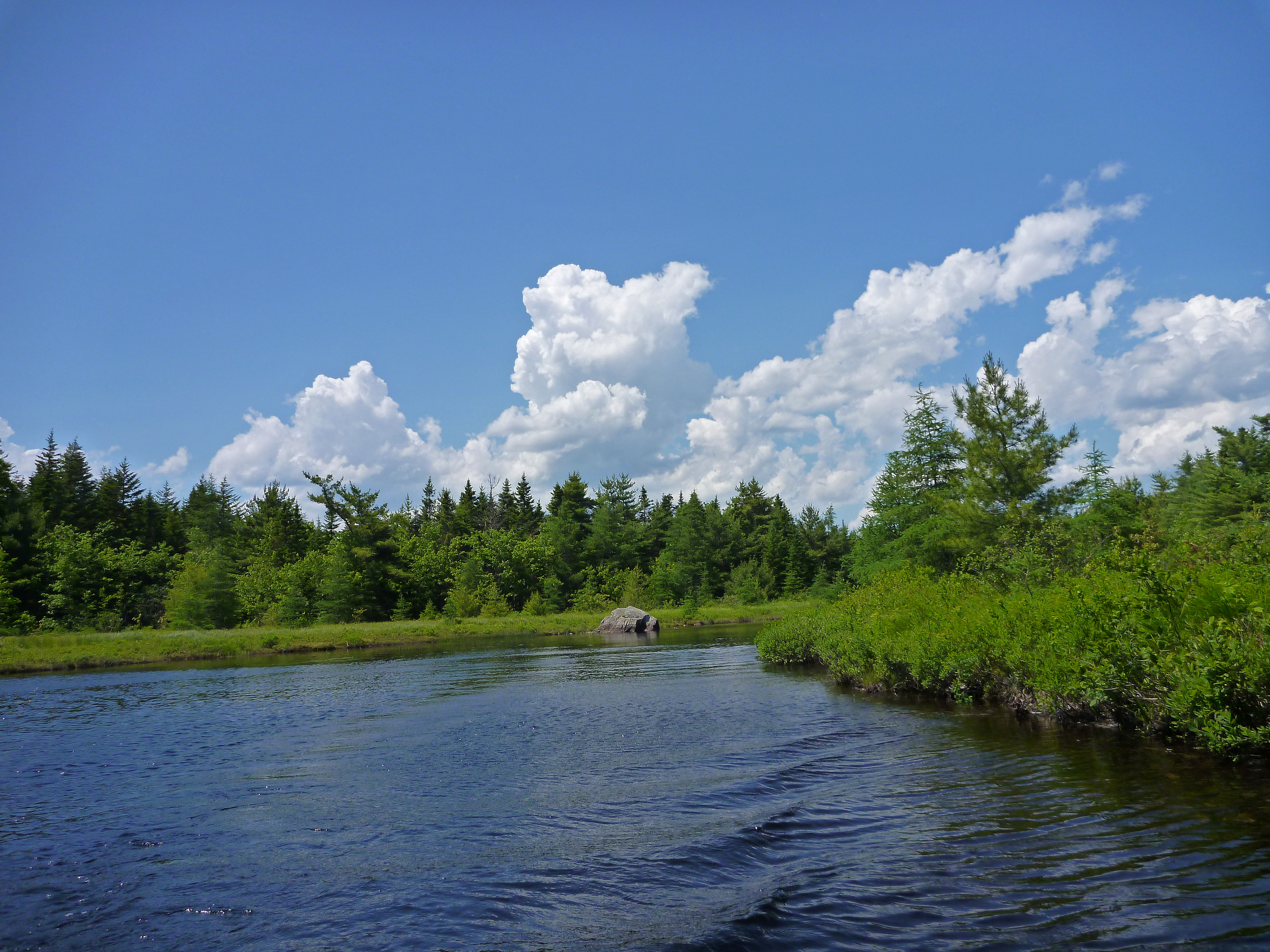
West River St. Mary's Area
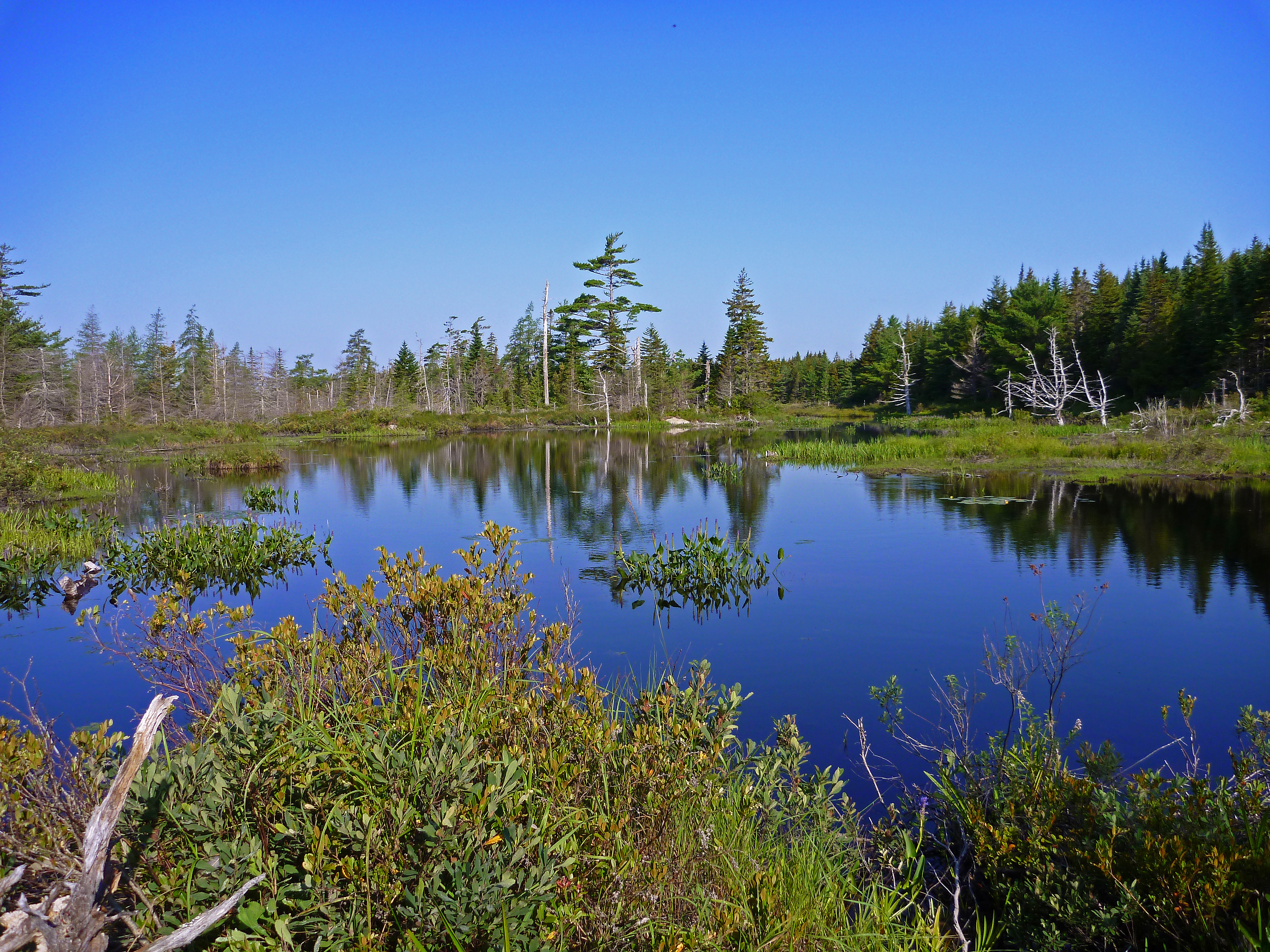
Island Lake, Guysborough County
Island Lake Guysborough County
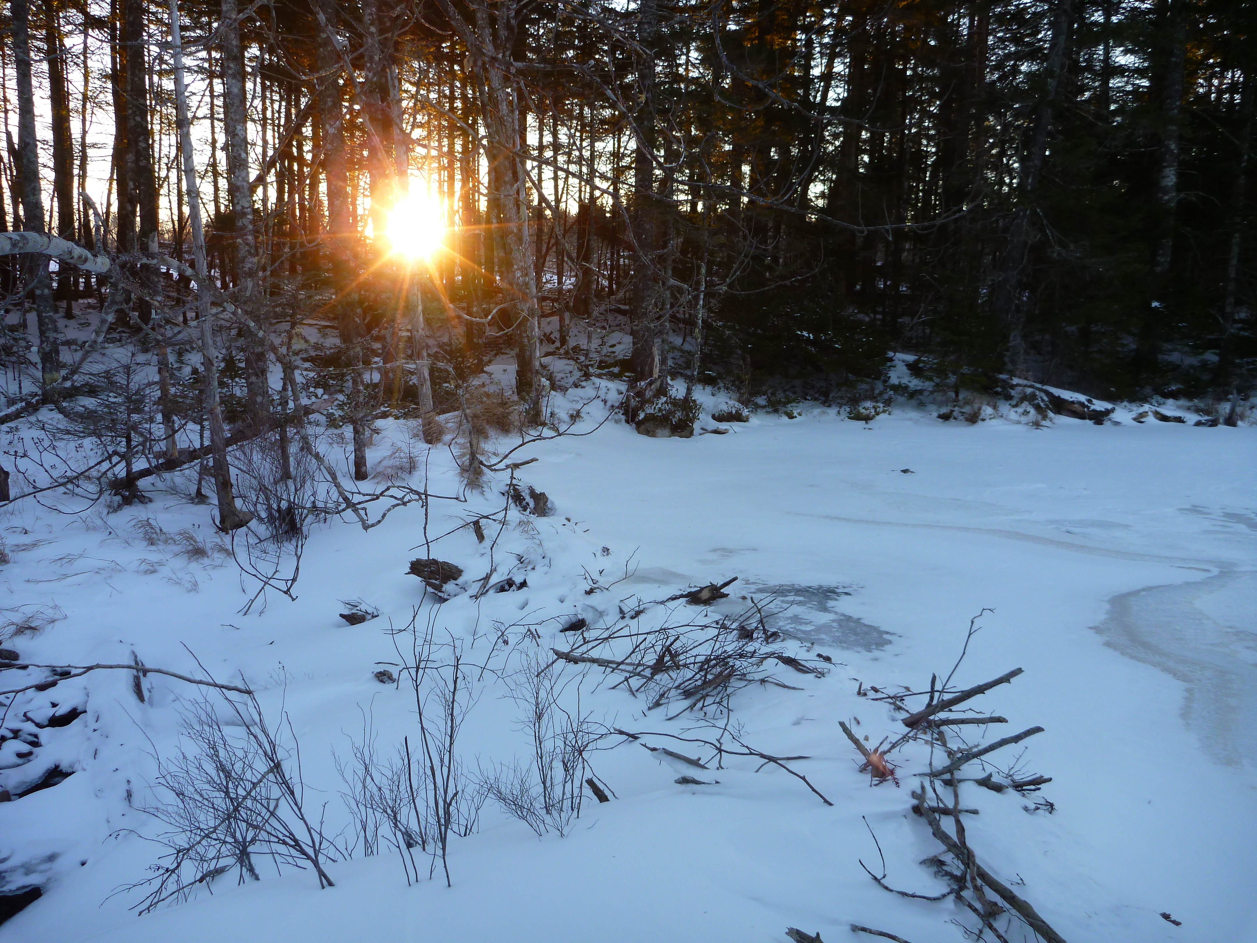
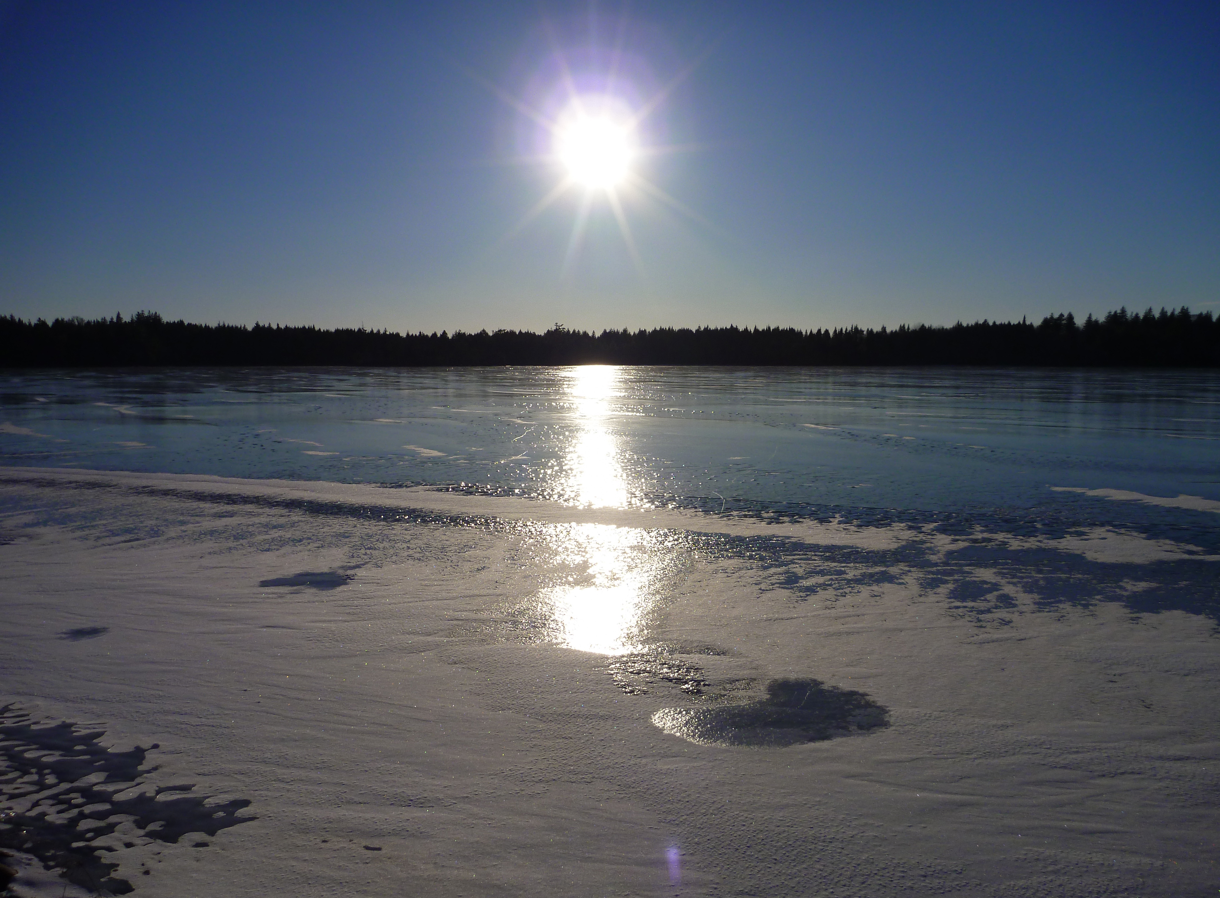
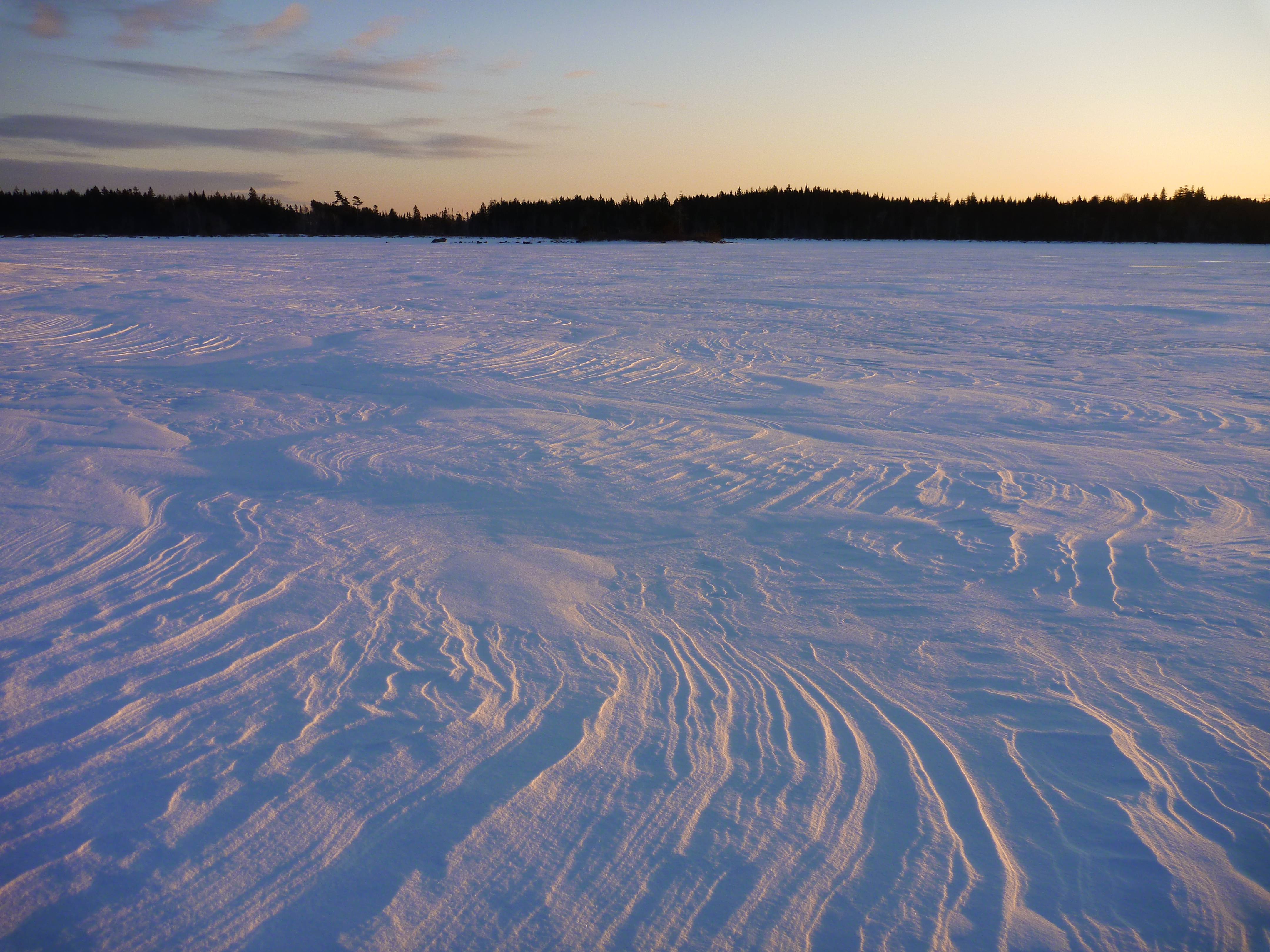
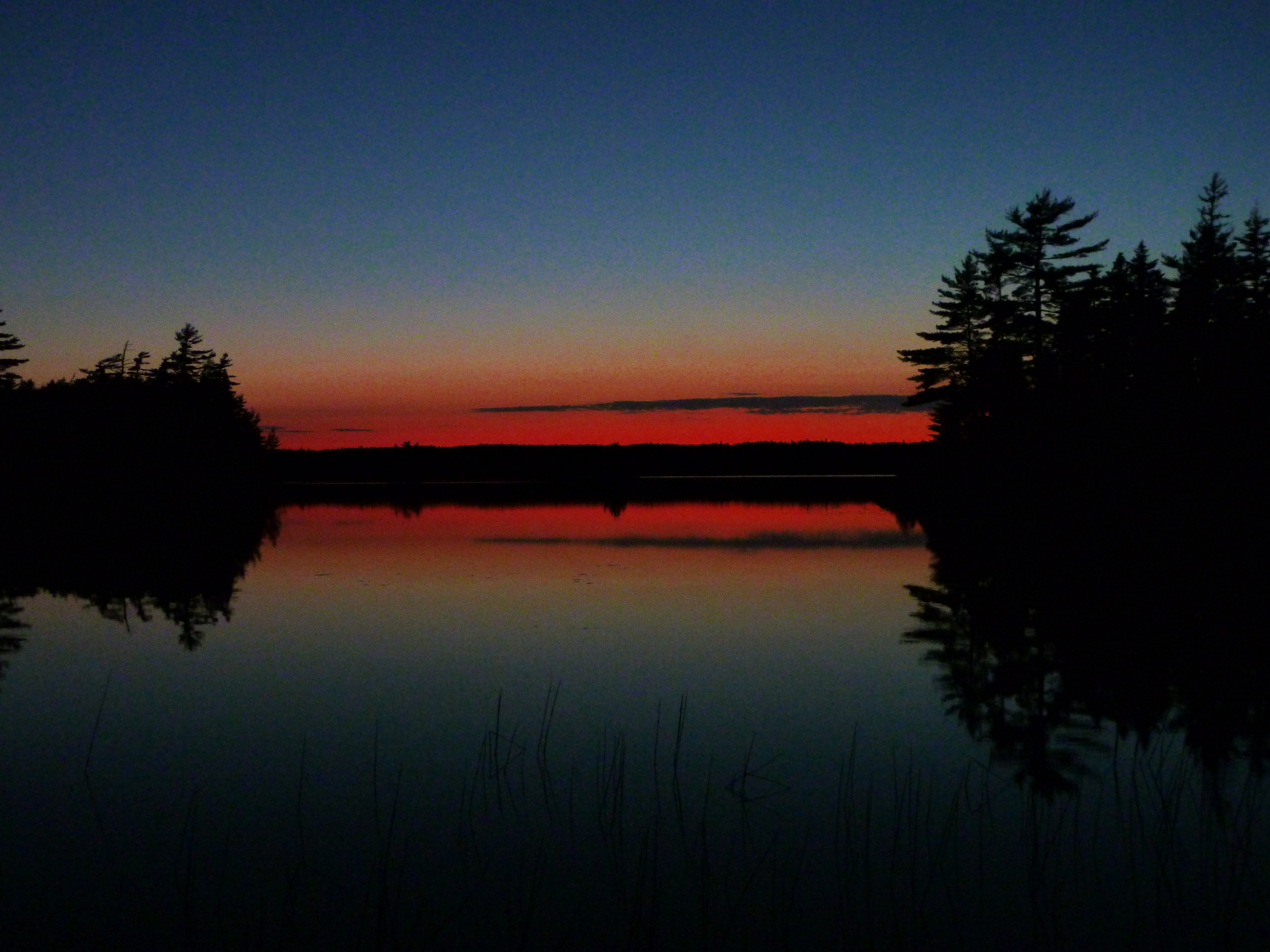
Long Lake Beaver Dam -15c
West River St. Mary's Area
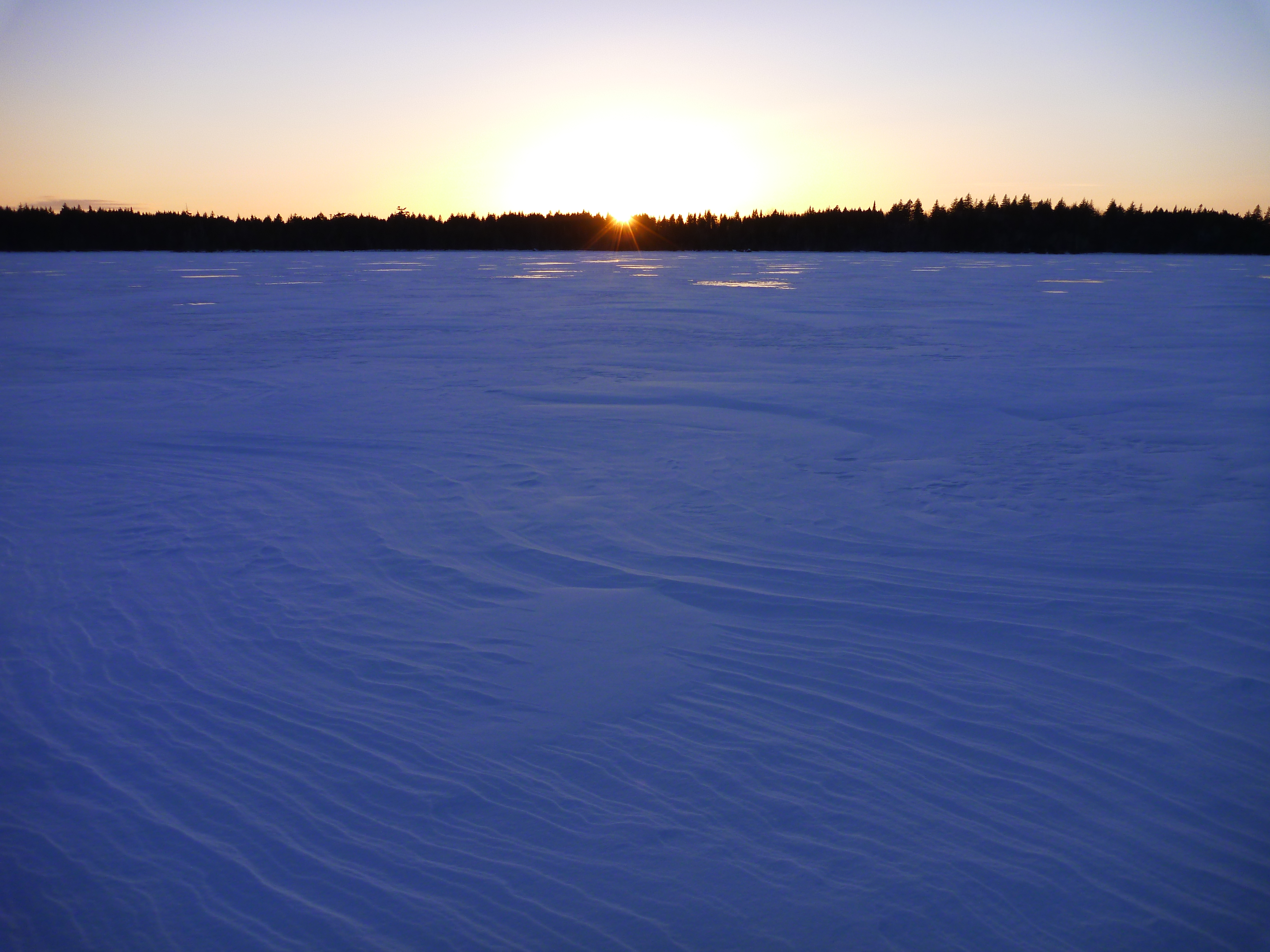
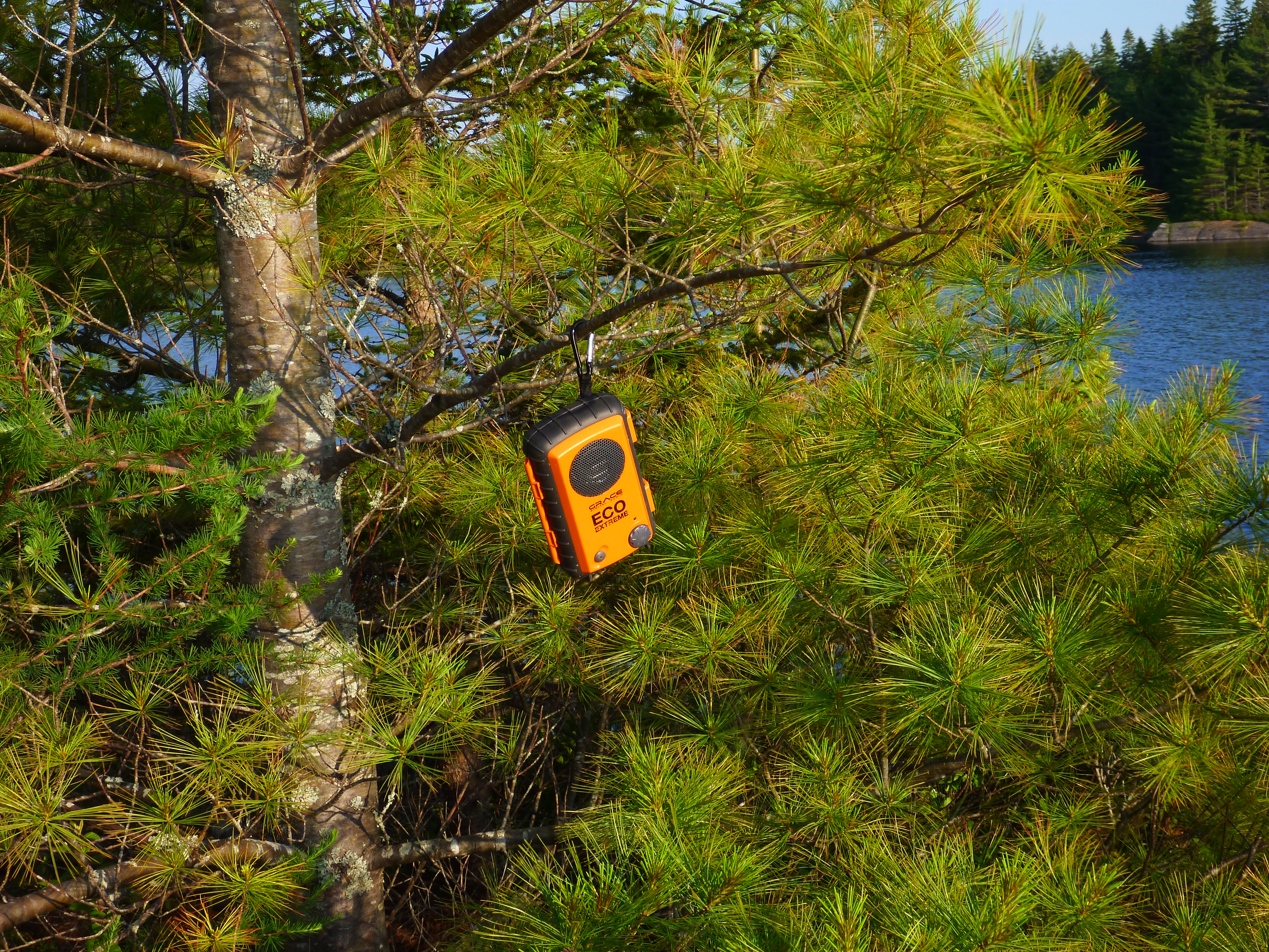
Big Brook Lake (1)

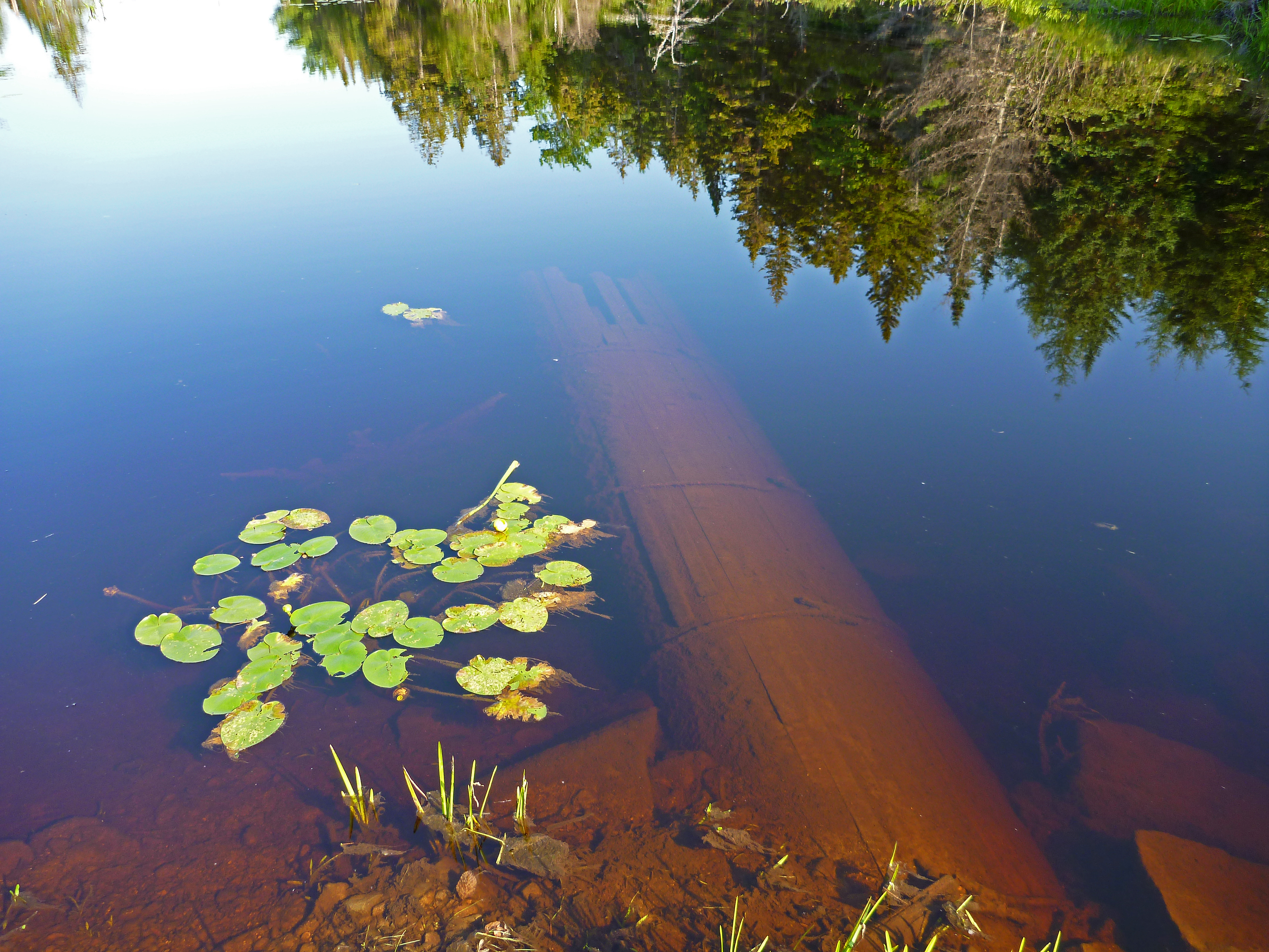
Island Lake Trout

Island Lake Trout
Lower Rocky Lake Stills (2)
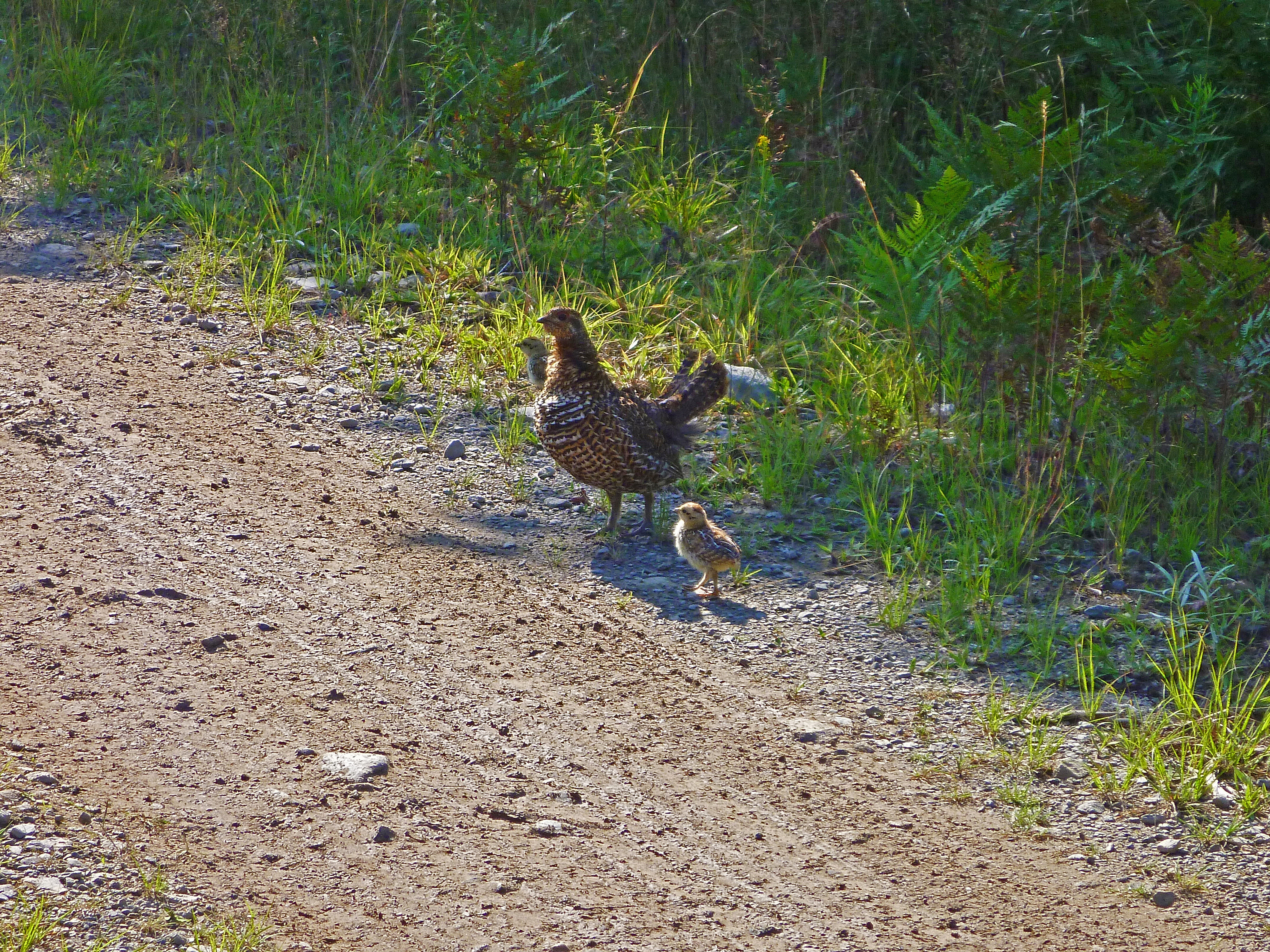
Mom Partridge and her babies on Island Lake Road
Island Lake Camping trip (7)
Island Lake Camping trip (6)
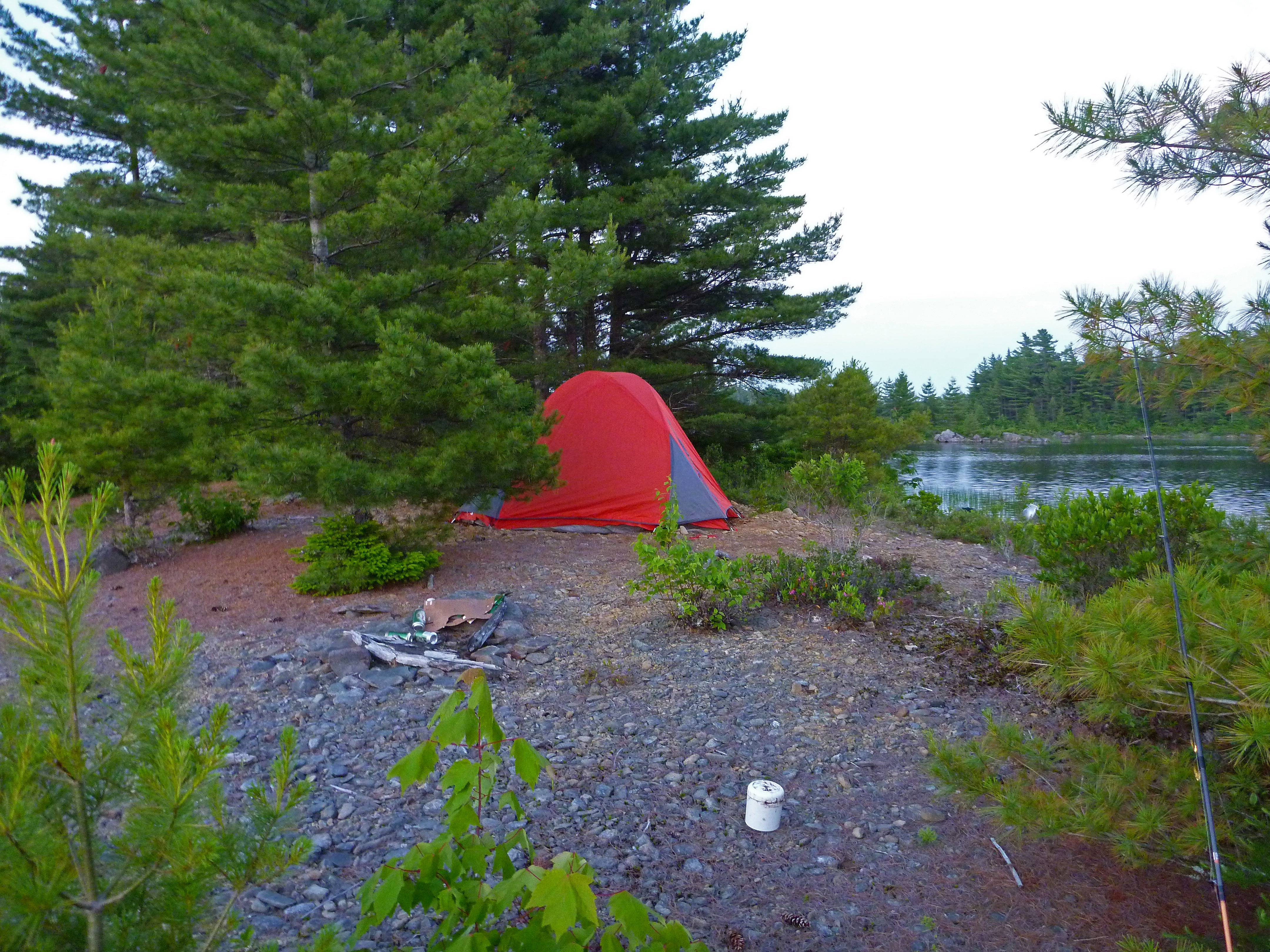
Island Lake Camping trip (5)
Island Lake Camping trip (4)
Island Lake Camping trip (3)
Island Lake Camping trip (2)
Topographic Map of St. Mary's, NS, Canada
Find elevation by address:

Places in St. Mary's, NS, Canada:
Sherbrooke
Ecum Secum
Fishermans Harbour
Aspen
Marie Joseph
Waternish Rd, Aspen, NS B0H 1E0, Canada
Sonora
Liscomb
Places near St. Mary's, NS, Canada:
Glenelg
Aspen
Waternish Rd, Aspen, NS B0H 1E0, Canada
Sherbrooke
25 Ns-211
Baker Branch Road
67 Ns-211
Cameron Settlement Rd, Aspen, NS B0H 1E0, Canada
Liscomb
Sonora
Gegogan Rd, Sherbrooke, NS B0J 3C0, Canada
1760 Ohio East Rd
1760 Ohio East Rd
French River Rd, Merigomish, NS B0K 1G0, Canada
E River West Side Rd, Sunnybrae, NS B0K 1T0, Canada
Sunnybrae
Keppoch Mountain
Ohio East Rd, Antigonish, NS B2G 2K8, Canada
E River East Side Rd, Sunnybrae, NS B0K 1T0, Canada
6371 Sherbrooke Rd
Recent Searches:
- Elevation of Corso Fratelli Cairoli, 35, Macerata MC, Italy
- Elevation of Tallevast Rd, Sarasota, FL, USA
- Elevation of 4th St E, Sonoma, CA, USA
- Elevation of Black Hollow Rd, Pennsdale, PA, USA
- Elevation of Oakland Ave, Williamsport, PA, USA
- Elevation of Pedrógão Grande, Portugal
- Elevation of Klee Dr, Martinsburg, WV, USA
- Elevation of Via Roma, Pieranica CR, Italy
- Elevation of Tavkvetili Mountain, Georgia
- Elevation of Hartfords Bluff Cir, Mt Pleasant, SC, USA